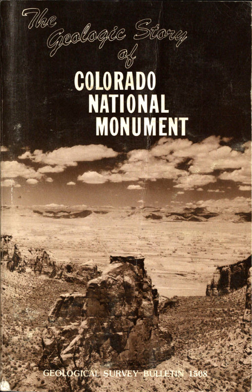
The Geologic Story of Colorado National Monument
by Stanley William Lohman
★★★★★No ratings yet
Language: English
Sign in to rate this book.
Sign in to shelve this book.
About this eBook
- Author
- Lohman, Stanley William, 1907-
- Title
- The Geologic Story of Colorado National Monument Revised Edition
- Credits
- Produced by Stephen Hutcheson, Dave Morgan and the Online Distributed Proofreading Team at www.pgdp.net
- Language
- English
- LoC Class
- QE: Science: Geology
- Subject
- Colorado National Monument (Colo.)
- Category
- Text
- Project Gutenberg
- eBook-No. 52325
- Release Date
- June 14, 2016
- Copyright
- Public domain in the USA.
Contents
- 1.The Geologic Story of COLORADO NATIONAL MONUMENT
- 2.Contents
- 3.Figures
- 4.Preface
- 5.History of the Monument
- 6.Early History of the Region — Prehistoric People
- 7.Late Arrivals — Early Settlement [13] — The Brown-Stanton River Expedition [14] — Kodel’s Gold Mine [15] — Recent Cave Dweller
- 8.Artesian Wells
- 9.Geographic Setting
- 10.The Geologic Story Begins — Ancient Rocks and Events — A Great Gap in the Rock Record
- 11.The Age of Reptiles — Early Landscape — Ancient Sand Dunes — The Rains Came — Another Gap in the Rock Record — The Sea to the West — Deposits and Events East of the Sea — Dinosaurs Roam the Monument — Dinosaurs on the Move — Yet Another Gap in the Rock Record — Peat Bogs — The Sea Covers the Plateau — The Sea’s Final Retreat — End of the Dinosaurs
- 12.The Age of Mammals — Early Deposits and Events — Lake Uinta — The Mountains Rise Again — Nearby Lava Flows [30] — Ancestral Colorado River — Piracy on the High Plateaus
- 13.The Age of Man — The Ice Age — Capture of East Creek — Canyon Cutting — A Look into the Future
- 14.How to See the Monument
- 15.Trips Through and Around the Monument [34] — From Grand Junction through the Redlands to the West Entrance of the Monument — STARTING POINT — REDLANDS CANAL — SOUTH BROADWAY — SOUTH CAMP ROAD SIDE TRIP — BRACHIOSAURUS MONUMENT — WATCH TURNS — LEFT TURN — WATCH FOR BUFFALO — REDLANDS FAULT — WINGATE DRIVE SIDE TRIP — MONUMENT CANYON TRAIL — DRAINAGE DIVIDE — ROAD INTERSECTION — From Fruita to the West Entrance of the Monument — MORRISON FORMATION — Through the Monument from West to East Entrances — WEST ENTRANCE — REDLANDS VIEW — NEW EARTHFILL — BALANCED ROCK — HISTORIC TRAILS VIEW — FRUITA CANYON VIEW — CAMPGROUND AND PICNIC AREA — WINDOW ROCK — VISITOR CENTER—MONUMENT HEADQUARTERS — GAP IN ROCK RECORD — PIPE ORGAN — DEPENDENCE VIEW — GRAND VIEW — MONUMENT CANYON VIEW — COKE OVENS OVERLOOK — ARTISTS POINT — HIGHLAND VIEW — DIVIDE — LIBERTY CAP TRAILHEAD — GLADE PARK ROAD — FLOOD — UPPER UTE CANYON VIEW — FALLEN ROCK OVERLOOK — UTE CANYON TRAILHEAD — UTE CANYON — LOWER UTE CANYON VIEW — RED CANYON OVERLOOK — DS ROAD — COLD SHIVERS POINT — HEAD OF SERPENTS TRAIL — FOOT OF SERPENTS TRAIL — DEVILS KITCHEN — EAST ENTRANCE — From the East Entrance to Grand Junction — SOUTH CAMP ROAD SHORTCUT — GAP IN ROCK RECORD — FLOOD DAMAGE — SOUTH BROADWAY — Through Glade Park from the Northwest Arm of Ute Canyon to Columbus Canyon — GLADE PARK ROAD — GLADE PARK — GLADE PARK FAULT — LITTLE PARK ROAD — From Glade Park to Grand Junction Via the Little Park Road — GLADE PARK FAULT — LADDER AND ROUGH CANYONS
- 16.Résumé of Geologic History and Relation to Other National Parks and Monuments in the Colorado Plateau
- 17.Acknowledgments
- 18.References
- 19.Additional Reading
- 20.Footnotes
- 21.Index
- 22.Transcriber’s Notes
- 23.Transcriber’s Note on Linking between eBooks
Community reviews
Sign in to write a review.
No reviews yet.