The Range Country
A vast expanse of endlessly stretching plains, dun-colored table-lands,
mysterious buttes against a far horizon, and “always the tremendous,
almost incredible distances”—this is the typical Range country. There are
a sweep to it and a breadth, and such heavens over the earth! In the East,
unless some crimson sunset attracts indifferent eyes, the sky makes less
of the picture than the earth. But this is sky country.
Roughly, the Range area comprises the states between the Middle West and
the Far West, and includes a wide variety of landscape. Contained in this
picturesque area are eight states with parts of others, a million square
miles over which are spread four million people about a third less than
are crowded into New York City. The four counties here studied, each in a
different state, provide fair samples of a great deal of the country.
Beaverhead County, in Montana, and Sheridan County, in Wyoming, are not
far distant one from the other. Both are partly mountainous, rugged in
contour, with wide valleys rimmed by mountains, and miles of undulating
range land and low-lying hills traced by rivers. This is the country where
“the smoke goes straight up and the latch-string still hangs on the
outside of the old-timer’s cabin,” where still the “sage-hen clucks to her
young at the water-hole in the coulee ... with lazy grace, the eagle
swings to his nest in the lofty pinnacle and the prairie dog stands at his
door and chatters.”
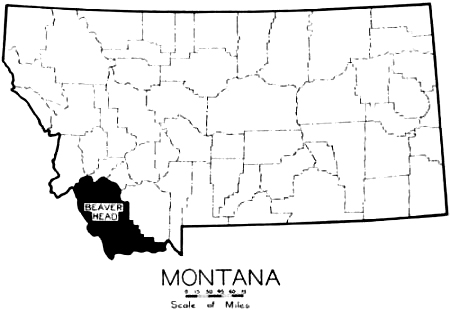
Beaverhead is in the extreme southwestern corner of Montana, slightly
northwest of Yellowstone Park and straight south from Butte. It is bounded
by Rocky Mountain ranges on the west, south and northwest. On the south
and west it faces the State of Idaho. The county is well drained and
watered by the two principal rivers, the Big Hole and Beaverhead, and by
their tributaries, and here, too, the Missouri River has its source.
Beaverhead County embraces 5,657 square miles or 3,620,480 acres. Of
this area, 1,365,000 acres are included in the Beaverhead National Forest
Reserve scattered over the north, west and southern parts of the county. A
small part of the Madison National Forest also extends into the county on
the west. The altitude at Monida, in the southern part of the county, is
about 6,500 feet above sea level.
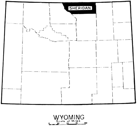
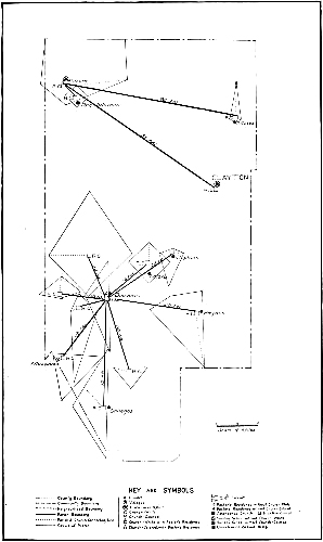
MONTANA AND WYOMING
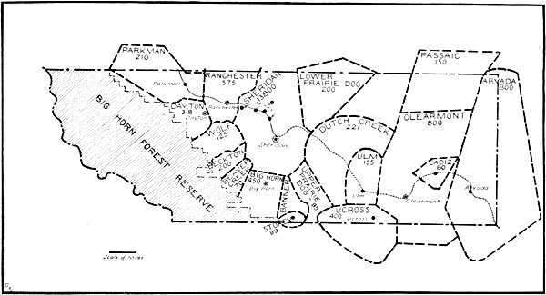
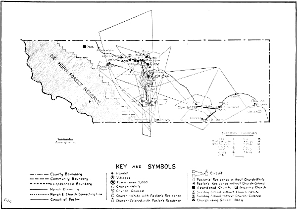
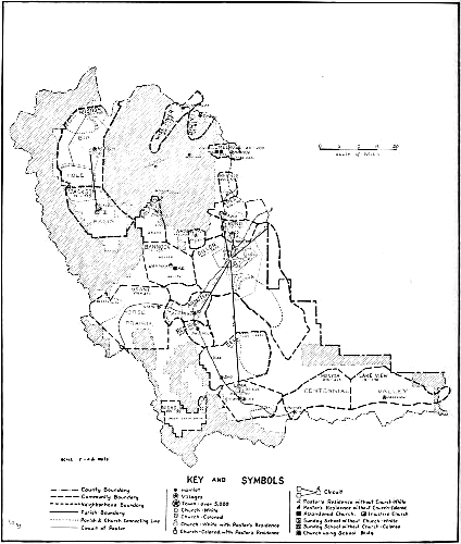
Locating Beaverhead and Sheridan Counties.
The Wyoming county, Sheridan, lies in the extreme north central section of
the state, about 110 miles east of Yellowstone Park, Montana forming its
northern boundary. Sheridan is about 100 miles long and thirty miles wide,
the total area being 2,574 square miles, or 1,647,360 acres, less than
half the area of the Montana county, Beaverhead. The Big Horn Forest
Reserve covers 383,493 acres of Sheridan County. Rivers and creeks are
numerous, the chief ones being Tongue River, Powder River and Big Goose,
Prairie Dog and Clear Creeks. The city of Sheridan, the county seat, has
an altitude of 3,737 feet above sea level.
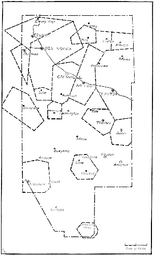
The other two counties, Union in New Mexico and Hughes in South Dakota,
consist largely of plain lands. Union lies in the northeastern corner of
the state of New Mexico, with three states, Colorado, Oklahoma and Texas,
to the north and east of her. Union included 5,370 square miles, or
3,436,800 acres, at the time this survey was made. About one-sixth of the
southwestern part of Union County has, however, been added to part of Mora
County, to the southwest, to form a new county named Harding which was
formally inaugurated on June 14th, 1921. The land consists mainly of dry,
level plains and mesas, although there are some mountains and isolated
hills or buttes. Aside from the mountainous area, which is wooded, there
are scarcely any trees with the exception of a few along the larger creeks
and those cultivated around ranch houses. The northwestern corner of the
county is the most mountainous. The county is drained chiefly by Ute
Creek, flowing southeast through the western and southwestern sections
into the Canadian River, and in the northern part by the beautiful
Cimarron. There are a number of small streams, but many are dry during a
large part of the year. Union has exhilarating, bracing air and radiant
sunshine.
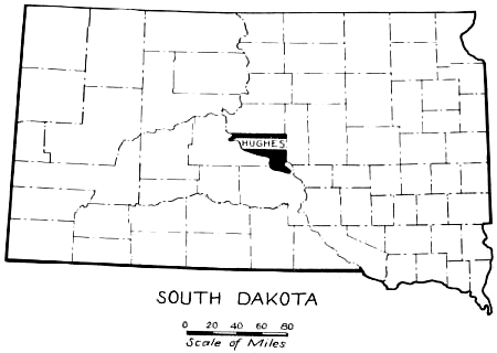
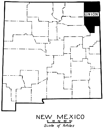
SOUTH DAKOTA AND NEW MEXICO
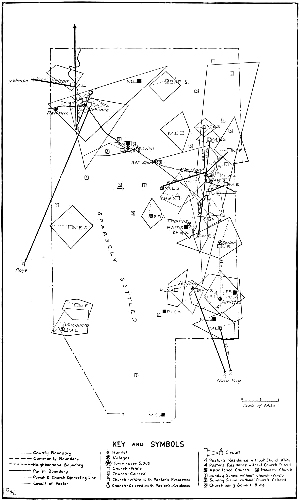
Locating Hughes and Union Counties.
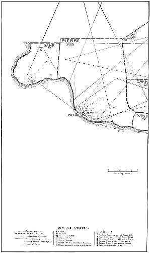
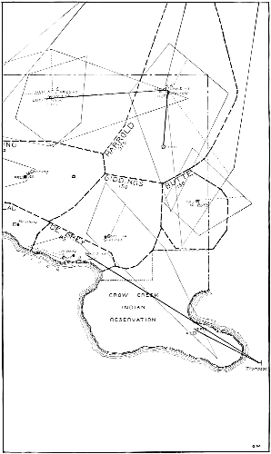
Hughes is a small county almost exactly in the center of the State of
South Dakota. It has the shape of a right-angled triangle with the
Missouri River forming its hypothenuse from the northwest to the southeast
corner. It covers 485,760 acres of high and rolling prairie, with river
and creek bluffs and bottom lands. Several creeks and small rivers flow
directly through Hughes, and it is on the whole one of the best-watered
counties in South Dakota. Pierre, the county seat, is the capital of the
state.
Early Days on the Frontier
The story of these counties is bound up with the discovery and subsequent
history of the West. It is, as Viola Paradise says, “the story of Indians
and early explorers; of hunters and fur traders in the days not so very
long ago when the bison ranged the prairies; then of a few ranchmen,
scattered at great distances; of great herds of cattle and sheep,
succeeding the wild buffaloes; and of the famous cowboy; then of the
coming of the dry farmer with his hated fences; and of the crowding out of
the open range cattlemen and the substitution of the homesteader.”
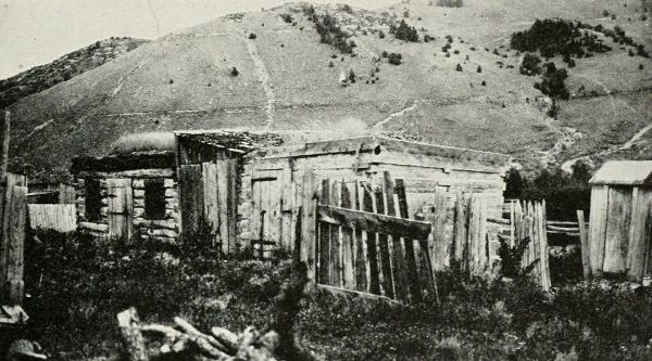
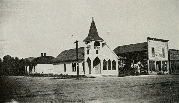
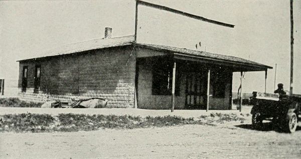
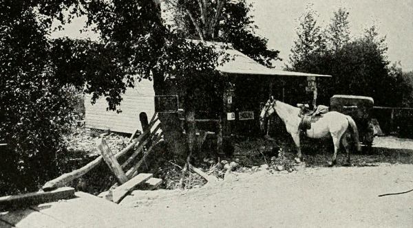
THE TOWN LOCK-UP
This primitive jail at Bannock, once chosen as the capital of Montana, has
held some rough characters in its time, but is now abandoned.
It was at Two Forks, in Beaverhead County, near what is now the village of
Armstead, that Lewis and Clark, at a critical point in their expedition,
were met and befriended by the Shoshones, the tribe of their Indian girl
guide, Sacajawea.[2] This was on August 17, 1805. White fur traders soon
followed in the track of this famous expedition, and after them came Jason
and Sidney Lee, in 1834, the first missionaries to reach Montana.
The next landmark in the county’s history is the “gold strike” on
Grasshopper Creek, in 1862. News of the find spread like wild-fire. Miners
rushed to the creek and set up their tents, shacks and log cabins. Unlike
Rome, this first town of Montana, called Bannock, was built in a single
night. Soon after the gold seekers had settled down to work in earnest,
the road agents, a well-organized gang of “roughs” from all over the West,
began to rob the stage-coaches travelling between Bannock and Virginia
City. “Innocent” was their pass-word; mustaches, beards and neckties tied
with a sailor’s knot, their sign of membership. After a succession of
miners, homeward bound with their gold-dust, had dropped from sight, never
to be heard of again, those who remained decided to elect a sheriff. Their
choice fell upon a certain Henry Plummer, who was also sheriff of Virginia
City. Plummer, however, never seemed to arrest the right man, a
circumstance which was explained later when it was discovered that he was
the chief of the gang of road agents. The funeral of a miner who had died
of mountain fever, the first man for some time to die from a natural
cause, gave the community the opportunity to organize secretly the
“Vigilantes,” and finally to round up the road agents, either hanging them
or giving them warning to leave the country.
Montana was established as a territory in 1864, Bannock becoming the first
capital, and in the sane year the first county seat of Beaverhead County.
The capital was removed to Virginia City in 1865, but not until 1882 did
Dillon become the county seat. The boundaries of Beaverhead changed very
little until 1911, when 938 square miles of Madison County, 600,320 acres
in all, were annexed. Men began settling on the land west of Bannock as
early as 1862; stock men mainly with herds. A few farmers also began to
take up choice bits of land along the rivers. The railroad, then the Utah
Northern, entered from the south in 1879. As it was being built, tent
towns were established every fifty miles. One of these towns was never
moved and grew into the present town of Dillon.
The first attempt to open up to the white man the land along the Powder
and Lower Tongue Rivers, in what is now Sheridan County, was made by
General Patrick E. Conner on August 29, 1865, and was eminently
successful. He attacked the Arapahoe Indians with a force of 250 regular
soldiers and successfully routed seven hundred warriors. The next effort
ended, however, in disaster. On the twenty-first day of December, 1866, at
a point on Sheridan’s southern boundary now known as Massacre Hill,
eighty-two officers and men sacrificed their lives to the hostile Sioux
and Cheyennes in attempting to open a road across the country from Fort
Laramie to Montana.
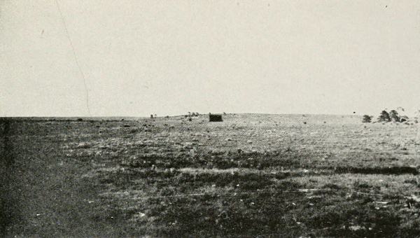
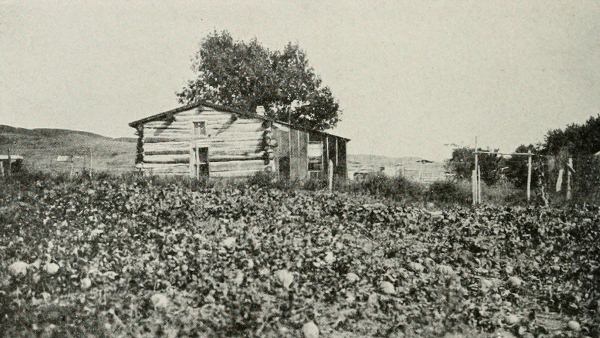
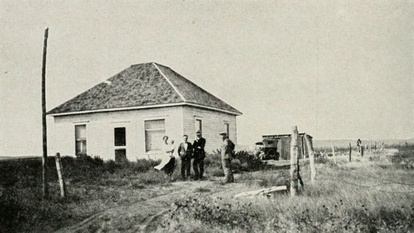
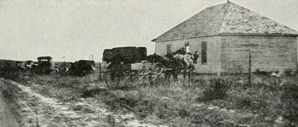
LONELINESS IN UNION COUNTY
The black spot in the center of this not very attractive picture is a squatter’s hut.
AFTER SOME YEARS
In contrast with the top picture is this one of an attractive farmhouse which shows what can be done on the plains of New Mexico.
The first claim ever taken up in this region was in 1878, on Little Goose
Creek, near Big Horn, and the first irrigation ditch was constructed the
next year. Big Horn was laid out in 1880, and the first store opened. The
first newspaper in the county was the Big Horn Sentinel, and the first
agricultural fair was held in Big Horn in 1885. The first cabin was built
on the present site of Sheridan City in 1878. Sheridan was laid out in
1882 and incorporated as a city in 1884. Until 1881, the territory
contained in Johnson and Sheridan Counties was unorganized and had no
county government, but lay within the jurisdiction of Carbon County
courts. It became Johnson County in 1881. In 1887 it was divided by
popular vote, the northern portion being named Sheridan County in memory
of the gallant General Phil Sheridan, whose army, in the 1881 expedition,
camped on the site of Sheridan City.
Union County, in centuries past the camping grounds of vanished tribes, is
now white man’s country, but it did not become so until the Santa Fé trail
opened the great Southwest. With the Rabbit Ear Mountains to guide
settlers the old trail came across Union County, untravelled until 1822,
and finally, two years later, the first wagons crept slowly westward,
facing in that pioneer mood now become historic the hardships of climate
and the perils of hostile redskins. In Union County the story survives of
a massacre by Indians, which accounts for the tardy white settlements in
this region.
In 1870, there were about a dozen homes of white settlers in the whole
area. The railroad, in 1887-88, encouraged development which began with
Clayton a year later. In February, 1893, the Territorial Legislature
incorporated into Union County parts of Colfax, Mora and San Miguel. The
original boundaries of Union County were not changed until 1903, when 265
square miles were added to Quay County. Beginning in the northern part of
the county and gradually working southwards, stockmen took up claims close
to water and used public land for grazing. Up to about 1900, most of the
territory remained open range land in which cattle were raised on a large
scale, but since that time, it has gradually been homesteaded.
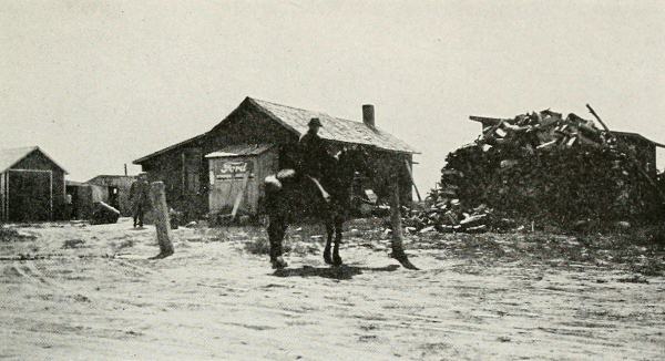
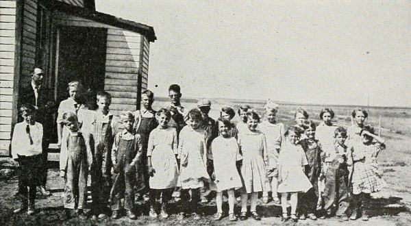
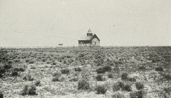
TWO COMMUNITY CENTERS
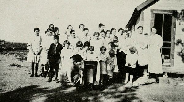
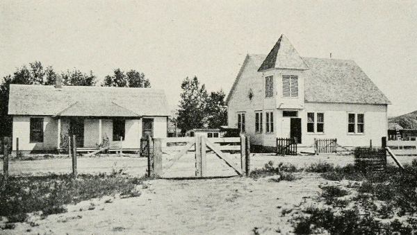
The local store and the school of De Grey community, Hughes County, S. D., the only meeting places for widely scattered “neighbors.”
The section around Pierre, in Hughes County, was the oldest settlement in
the State of South Dakota. Fort Pierre, across the river from Pierre, was
established in 1817, and there was continuous settlement after that. At
the conclusion of the Red Cloud War of 1866-68, the Laramie Treaty with
the Sioux Indians established a great Sioux reservation embracing all the
land west of Missouri, from the Niobrara River on the south to the Cannon
Ball River on the north and northwest, to the Yellowstone. This
reservation lay unbroken until 1876, the year when the Indians surrendered
the Black Hills. When the gold rush to the Black Hills began, Fort Pierre
was the nearest settled point and the traffic center. Because the railroad
had no right of way through the reservation, the line could not be
extended to the Black Hills.
The first permanent American settlement in Hughes County was made in 1873,
when Thomas L. Riggs established the Congregational Indian Mission at
Oahe, where he still continues a church. When the railway reached Pierre
in 1881, there came the first “boom” in the history of the county. All
sorts and conditions of people took up half sections, and Hughes County
was almost homesteaded between the years 1881 and 1883. The second boom
came in the years 1899-91, later followed by a reaction and slump. About
the year 1903, Pierre was selected as the State capital. All sorts of
efforts were made to steal the honor for some other town until in 1905 a
bill provided for a capitol building at Pierre which was completed in
1913. The railway began in 1906 to extend to the Black Hills. Thereafter,
until 1910, all the region west of Missouri was settled, and practically
all of these new settlers came through Pierre. In 1911 the construction
was finished, people were out of work, and there came another slump. There
was also a drought during the period 1911-12-13.
Transportation and Roads
There is practically no competition between railroads in any of these
counties. Each has one main line running through it, along which are
located the county seat and other smaller centers. Beaverhead has the
Oregon Short Line; Sheridan the Chicago, Burlington & Quincy; Hughes the
Chicago & Northwestern; and Union the Colorado & Southern. Three counties
also have small sections of branch lines, and Sheridan has twelve miles of
trolley line giving city service, and reaching all but one of the mining
camps to the north of Sheridan City. None of these counties has really
adequate train service. The distance from markets thus becomes an acute
problem in certain parts of all four counties, but especially in
Beaverhead, Sheridan and Union on account of their greater distances.
Each county has at least one good stretch of road. A large proportion of
the crossroads have never been improved. Many of them are only trails.
Beaverhead has 2,365 miles of roads, of which 1,500 miles are improved and
865 are unimproved. Approximately $278,147.00 has been spent on roads in
the last five years. The combined length of public roads in Sheridan
County is 796 miles. Five miles are hard-surfaced, five are red shale,
seventeen are gravel, 150 are State Highway and 410 are legally
established traveled roads, sixty-six feet wide and dragged when
necessary. There are also 200 miles of unimproved roads known as
“feeders.” During the last five years, approximately $310,000.00 has been
spent on county roads, not including the amount spent on State roads. Both
Sheridan and Beaverhead are fortunate in their location on highways
leading to Yellowstone Park; Beaverhead is on the Western Park-to-Park
highway, and Sheridan is on the Custer Battlefield highway.
During the past four years roads in Union County have improved. The
Colorado to Gulf highway from Galveston to Denver, enters the county at
Texline and continues for seventy-five miles to the Colfax County line
northwest of Des Moines. This is graded road and it is maintained partly
by the Federal Government, which pays 50 per cent., and partly by the
State and county which pay 25 per cent. each. There are 180 miles of State
highways in the county for which the State and county each pay 50 per
cent. Two Federal Aid projects are also under way in the county at
present. Something over 650 miles of roads are maintained by the county,
and there are about 2,000 miles of community roads which are dependent
upon local care.
The total road mileage of Hughes County is 978, with no hard-surfaced but
with four miles of gravel roads, and 175 miles of other improved roads.
There are also 799 miles of unimproved road. Forty-five miles of highway
have been built by the State between Pierre and Harrold and are maintained
by the county.
The People
All these counties were settled chiefly by homesteaders who came from all
over the United States, but chiefly from the Middle West and Southwest.
Missouri, Nebraska, Iowa, Kansas, Texas and Oklahoma are the states most
widely represented. A great many are children of original homesteaders.
The breathless haste with which settlers occupied and developed this
great primeval region of the West, rich in natural resources, is shown by
the following figures of population:
| |
|
Beaverhead |
|
Hughes |
|
Sheridan |
|
Union |
| 1870 |
|
722 |
| 1880 |
|
2,712 |
|
262 |
| 1890 |
|
4,655 |
|
5,044 |
|
1,972 |
| 1900 |
|
5,615 |
|
3,684 |
|
5,122 |
|
4,528 |
| 1910 |
|
6,444 |
|
6,271 |
|
16,324 |
|
11,404 |
| 1920 |
|
7,369 |
|
5,711 |
|
18,132 |
|
16,680 |
The greatest period of growth for Beaverhead was from 1870 to 1880; for
Hughes from 1880 to 1890; but both Union and Sheridan made their largest
increase from 1900 to 1910, while Beaverhead during those years has made a
slow, steady gain.
Hughes has had “booms,” and has gained and lost population in succeeding
decades. Sheridan and Union, the newer counties, have forged rapidly ahead
of the others in population. Sheridan, on account of her city, has made a
rapid urban increase, but her rural increase has been slow and steady.
Union is a large county with no Forest Reserve area and has been
homesteaded rapidly. Although, in 1903, 265 square miles were taken away
from Union, the population in 1910 was 11,404, or an increase of 151.9 per
cent. during the decade from 1900. The density of rural population per
square mile in Beaverhead is 9.8, in Sheridan 3.5, in Hughes 3.3 and in
Union 3.
The West has a smaller percentage of foreign-born population than the East
or Middle West. In three of the states represented, Montana, Wyoming and
South Dakota, the percentage of foreign-born has decreased in the last
decade. In Montana, it decreased from 24.4 per cent. to 17 per cent.; in
Wyoming, from 18.6 per cent. to 13 per cent.; and in South Dakota, from
17.2 per cent. to 12.9 per cent. New Mexico, with the smallest proportion
of foreign-born of any of the four states, went from 6.9 per cent. in 1910
to 8 per cent. in 1920.
Sheridan, with 15.9 per cent., is the only one of the four counties
studied whose foreign-born population remained constant. In Beaverhead,
the proportion fell from 18.1 to 14, in Hughes from 11.4 to 8.1 and in
Union from 2.2 to 1.7. The total number of foreign-born in all four
counties is 4,670, or 9.7 per cent. of the total number of people. Germans
predominate in Union, Hughes and Sheridan. In Beaverhead, the
predominating nationalities are Danes, Swedes and Austrians. The New
Americans in Beaverhead, Hughes and Union are largely on the land; in
Sheridan County, the majority are in the mining camps.
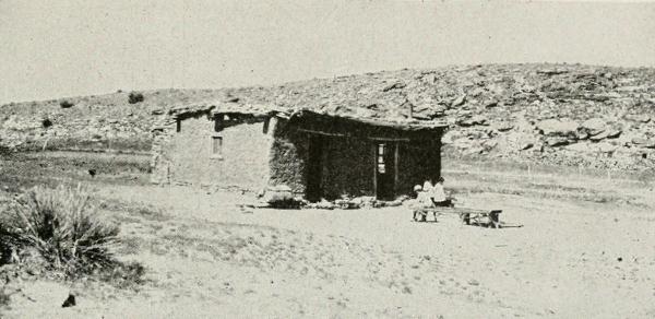
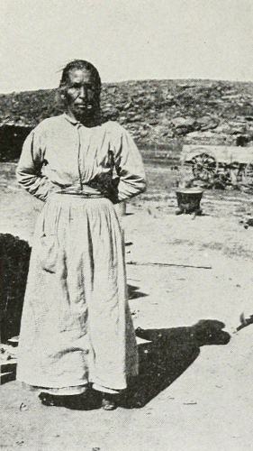
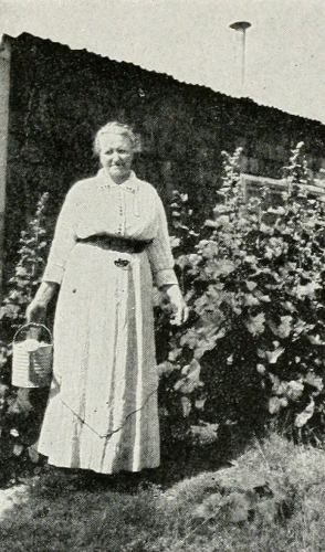
A SPANISH-AMERICAN TYPE AND A TYPICAL ADOBE HOUSE IN NEW MEXICO
Less than one hundred Indians are reported in the combined four counties,
and the number has been diminishing in every county except Union.
Sixty-nine of the eighty-one reporting are in Hughes County, a small
section of which is included in the Crow Creek Indian Reservation. But
Hughes had 169 in 1910. Spanish-Americans in Union, a cross between
Mexicans and Pueblo Indians (the Spaniards brought no women with them for
400 years), equal between one-fourth and one-third of the total
population. They live chiefly in the south-central and southwestern
sections of the county, and together with their habitations remind one of
picturesque Mexico. Sheridan County has the largest proportion of negroes
of any of the four counties—147 out of a total of 214; but these western
states in general have only a small percentage of negroes in their
population, varying from 1.6 per cent in New Mexico to 9.7 in Wyoming. The
Chinese and Japanese in the four counties number, all told, less than 150.
Wide Spaces and Few People
County areas ordinarily group themselves into so-called “communities,”
where individuals share common social and economic interests centering in
a definite locality. In this country, with its scattered pioneer
population, community groupings are less definite and permanent than in
the East or Middle West. Here they are usually determined by topography,
and especially by the rivers and creeks and the railroad. Along the
railroad are trade centers which serve the entire county. The majority of
these communities are of small population and large area, with a small
trading center containing stores, hotel, school, possibly a church or two
and some houses huddled together. The county seat largely centralizes the
life of each county.
Outside the trade centers and the open country area included within their
community boundaries, the counties fall into certain social groupings.
Where the land is good, and is being intensively developed, there are
well-defined permanent communities. Some have even grown staid and
conservative. In other sections the story is pathetically different. One
lonely family, a forlorn row of claim shacks along the horizon, are all
that is left of a real social life that existed only a few years before. A
woman standing at the door of the only habitation in a round of sky and
stretch of plain, tells how “all the good neighbors are gone and us left
grieving for the fine times we once had.” Transiency is usual in
homesteading country, many people only remaining long enough to homestead
their land. In Beaverhead and Hughes, which have been longer homesteaded,
there is a larger proportion of residents of more than fifteen years than
in the other two counties. But in all four counties, there are temporary
groups of people with some social life at present, which may or may not
have significance in the future. On the whole, present development tends
to be permanent because most of the desirable land in Beaverhead, Sheridan
and Union, and all of the land in Hughes has long since been taken up. All
community limits are more or less indefinite. For example, a rancher
living near the boundary of two communities may go to two or more centers
for trade. And a dance or barbecue will bring people from any number of
the communities.
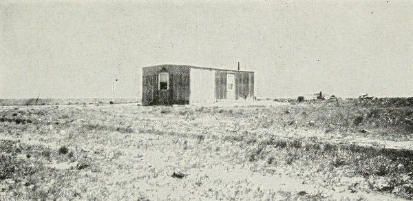
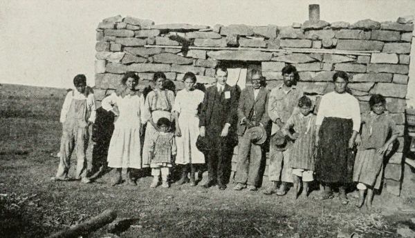
WHERE MAIN STREET MIGHT HAVE RUN
The hut of a lonely homesteader.
County interests tend to become concentrated in increasing proportion in
the county seat. Dillon, the Beaverhead County seat, is fairly well
located in the central eastern section. It is considered one of the best
business towns of the state, drawing trade from every point in Idaho.
Dillon is a retired ranchers’ town, conservative and wealthy. Community
spirit is not manifest. The old settlers run the town and are not friendly
to the ideas of others. Even a Commercial Club has found it hard to
survive in Dillon. Sheridan City, the county seat of Sheridan County, with
a population of about 10,000, is wide-awake and progressive. Although
there are a number of growing industries and it is a division point on the
railroad, Sheridan is also dependent to a large extent upon farming.
Clayton, the county seat of Union, a town with a spirit of “boost,”
informs travellers by means of a bill board that it is “the smallest town
on earth with a Rotary.” Clayton’s large proportion of transient
population is at once typical of the frontier in its nonchalant spirit, in
its cowboys with sombreros, jingling spurs and high-heeled boots that
click along the pavements; it typifies the Range country in the
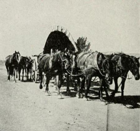
canvas-covered wagons, coming in provided with camping outfits and rations
to last for several days because “home” is far away. But all this is
gradually changing, and Clayton is becoming more of a farming center, less
like the frontier and more like the Middle West. Pierre, the Hughes County
seat and State capital, is a busy town. It has a number of industries and
is the center for an extensive farming and stock-raising region, but the
capitol overshadows the rest of the town in importance.
Means of Livelihood
Cattle were once raised on a large scale in this country. That was the day
of the cowboy. But with the coming of the homesteader and his fenced land,
stock has had to be raised in smaller herds and more restricted areas. In
the old days, there was a great deal of open range land. Most of this has
now been homesteaded. Naturally the rancher has resented the steady
appropriation of his “free range” by the farmer.
While cattle raising is still the chief source of income, there has been a
steady gain in the relative value of farming, especially since the
introduction of irrigation and dry-farming methods. About half the farm
land in both Beaverhead and Sheridan is under irrigation, and there is
some irrigated land in the northern part of Union, but practically no
irrigation in Hughes County. Some dry farming is carried on in every
section of each county. General farming and dairying rank next to stock
raising. Hay and forage are the chief crops. Considerable farm land is fit
only for range land for cattle; it is too broken or dry for crops.
Dairying is comparatively a new development.
Forest Reserve land in Beaverhead and Sheridan is allotted to ranches for
cattle range. In Beaverhead National Forest, 10,530 acres have been
homesteaded and seventy-five claims have been listed, chiefly in 160 acre
tracts. Very little homesteading has been done in the Big Horn National
Forest because the entire area is above the practical range of farm crops,
and killing frosts occur every month in the year. In the entire forest,
only about a dozen tracts have been taken under the homestead laws,
averaging a little over one hundred acres each; all have been abandoned,
except a few used as summer resorts.
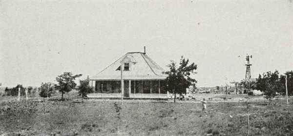
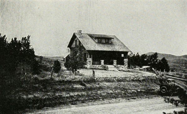
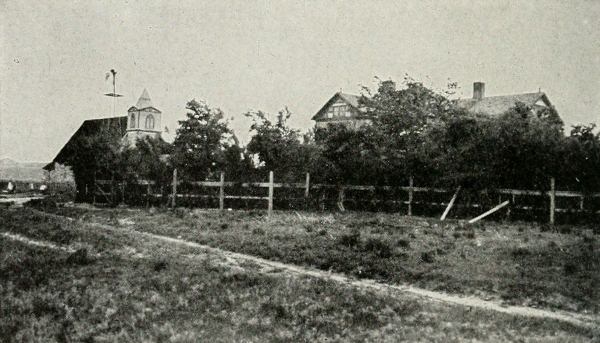
A WYOMING RANCH
The home of a well-to-do rancher in Sheridan County.
As is usually the case in frontier country, a large majority of the farms
and ranches are operated by owners. South Dakota, at the threshold of the
West, has a larger proportion of tenancy than any of the other states
represented. The percentage in South Dakota is 34.9 per cent., in New
Mexico it is 12.2 per cent., in Wyoming it is 12.5 per cent., and in
Montana it is 11.3 per cent. In Beaverhead tenancy has decreased from 10.2
per cent. in 1910 to 7.2 per cent. in 1920. In Sheridan, it has remained
about the same, 20.5 per cent. in 1910 and 20.4 per cent. in 1920. Hughes
has had a marked increase—from 16.6 per cent. in 1910 to 30.9 per cent.
in 1920. Tenancy has increased 11.9 per cent. in Union during the past
decade. This has been partly because so much of the land is held by
absentee owners who have proved up on the land, moved away, and are
waiting for property to go up in value; also because on account of the
high taxation some cattlemen find that they make better profits by renting
instead of owning.
Beaverhead County is rich in minerals, including gold, silver, copper,
lead, ore, graphite, coal and building stone. Comparatively little mining
has been done since the war on account of low prices. A large amount of
coal is produced in Sheridan County. Stretching out one after the other in
a compact series, there are six large mines north of Sheridan City, set in
the midst of an agricultural area and having little relation to the rest
of the county. There is also a small coal mine being operated at Arvada in
the eastern part of the county. A number of farmers and ranchmen are lucky
enough to have small coal veins on their land, and mine their own coal
with pick and shovel.
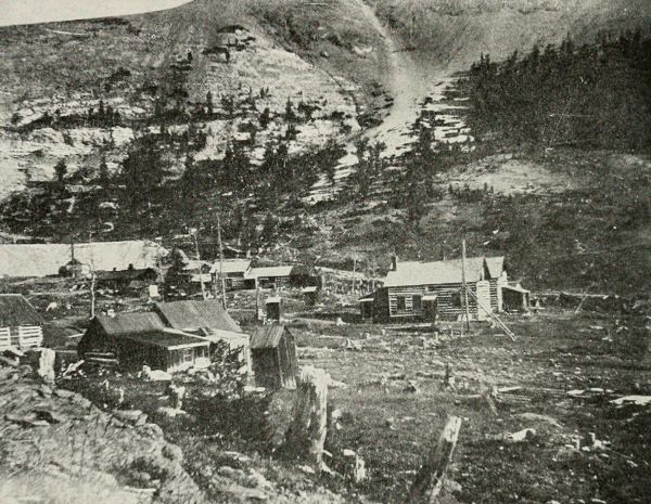
A MONTANA MINING CAMP
Oil is thought to be present in both Hughes and Union, but very little has
been done with its development. There is some coal in the mountains in
Union, and building stone and deposits of lime and alum are found in some
communities. There are numerous gas wells in Hughes County. Many ranches
have wells giving sufficient gas for all domestic purposes.
Each county has a number of smaller industries, such as printing
establishments, lumber yards, etc. Sheridan City has several large plants,
including an iron works, flour mill, sugar beet factory and a brick and
tile plant. All the counties benefit from the summer auto-tourist trade.
The city and towns all have camping grounds for tourists. Sheridan has a
tourist building, with a sitting-room, fire-place for rainy days and rest
rooms, in her city park. Sheridan also has a park in the Big Horn
Mountains. Both Beaverhead and Sheridan have a small number of resorts.
Sheridan has three “Dude” ranches, the largest of which is the Eaton
ranch, established in 1904.
The Young Idea
Good school systems have been developed in the comparatively short time
since these counties were organized and running as active units of group
life. Buildings are almost all fairly well built. Teachers receive good
salaries. Of course, the schools are nowhere near ideal. The isolation and
distances present serious school problems. Small rural schools persist
where distances are great. Union is the only county of the four with any
consolidated schools. The problem of supervision is great. Each county has
local school districts and a local board of trustees in each. The county
superintendent, a woman in each county, has a difficult time visiting the
more remote schools and does not reach them often. Many roads and trails
are practically impassable during the largest part of the school year.
Because of the isolation it is often difficult to find a teacher or to
get a place for her to live, when one is secured. School terms vary from
five to nine months, the longer terms predominating. Only six communities
in the four counties have active Parents’ and Teachers’ associations.
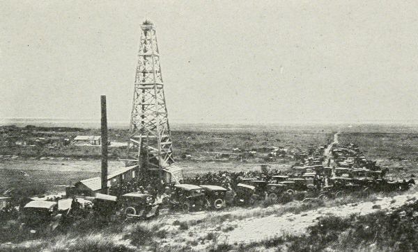
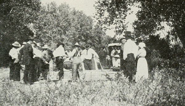
WHEN OIL IS FOUND
The Snorty Gobbler Project at Grenville, N. M.
Besides the two elementary schools in Dillon, used as model schools by the
State Normal which is located there, Beaverhead County has forty-six
elementary schools. Two of these, the schools in both villages, Wisdom and
Lima, offer one year of high school. The only four-year high school in the
county, located at Dillon, has sixteen teachers and a student enrollment
of 185. The entire school enrollment in the county in 1920-21 was 2,671;
the total number of teachers, 100; the total cost of school maintenance
$510,006.00. The State Normal had an enrollment of 561 during the summer
of 1920; 190 in the winter of 1920-21 and 620 in the summer of 1921.
There were seventy-four schools running in Sheridan County in 1920-21, not
including the city schools. In addition to the Sheridan High School, there
are five schools in the county offering some high school training. Big
Horn has had a four year course, but this year (1921-22) is sending her
third and fourth year high school pupils to Sheridan City in a school bus;
Dayton offers two years of high school, and Ranchester, Ulm and Clearmont
each have one year. An annual county graduation day is held in the
Sheridan High School. It is an all-day affair with a picnic in the park in
the afternoon. The total number of pupils in rural schools in 1920-21 was
1,850, the total cost of maintenance, $264,647.21. The Sheridan High
School with its enrollment of 522 is the largest in the state. The total
school enrollment of the county, including the five Sheridan City
elementary schools and the high school was 4,772. There was a total of 173
teachers, of which ninety-six were employed in the rural schools. A
parochial school in Sheridan City has an enrollment of about 180 and four
teachers. The city also has two privately owned business colleges with a
total enrollment of 150.
In Union County, there are 108 elementary schools outside of Clayton, with
a total enrollment of 4,500 and a force of 170 teachers. Nine schools have
some high school work. Five have a two-year course; two have a four-year
course. Several elementary schools have been consolidated within the past
few years, and occupy new buildings to which the children living at a
distance are transported in motor trucks. Besides four earlier issues of
school bonds, totalling $79,000, the people have voted, in this year of
hard times, an additional issue of $88,000. Clayton has four elementary
schools with seventeen teachers and an enrollment of 723. The Clayton High
School has twelve teachers and an enrollment of 225. It has a new
well-equipped building.
Hughes County has thirty-nine rural schools outside of Pierre. Four
schools offer some high school work, two offering one year, one two years
and one three years. Pierre has three elementary schools. The Pierre
four-year high school has 220 students. The total school enrollment of the
county, including the schools in Pierre, was 1,530, the total number of
teachers seventy and the total cost of maintenance $130,199.35. There is a
Government Indian Industrial School located just outside Pierre.
The lack of opportunity for high school training in so large a part of
each county, brings about an increasing migration into the county seat for
educational advantages. Many families leave their ranches and move in for
the winter instead of sending a child or two. Some come in for elementary
schools, because of bad roads and the inaccessibility of their country
school. This is one of the greatest factors in the growth of these
centers. To illustrate the number of pupils from the country, 150 of the
522 pupils of the Sheridan High School are non-resident and all but about
ten are from Sheridan County. In Union County, fifty of the 225 pupils in
the Clayton High School come from all over the county, the majority coming
from ten miles around Clayton. The number of county children attending
Clayton schools is increasing at the rate of about 15 per cent. a year.
These children have certain marked characteristics. They are older for
their grade than the town children, they average higher marks, and are
anxious to make the best of their opportunity. In other words, they do not
take education for granted, like the town or city child.

 YORK
YORK