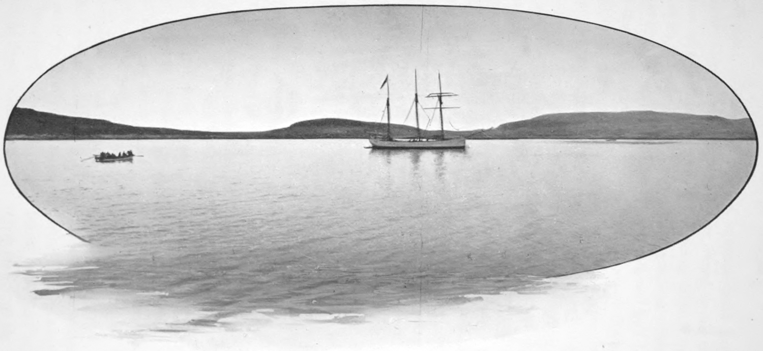
Having crossed the mouth of Ungava bay, a strong headwind
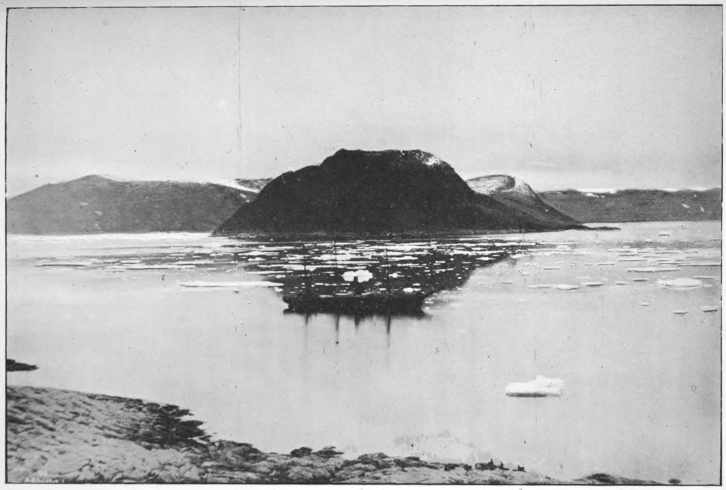
greatly delaying the ship, we put into Wakeham bay on the
south side of the strait, to test its capabilities as a harbour. A
fine clear passage was found into the bay on a line from the east
end of Prince of Wales island to the centre of the inlet; there
are a few low shoals on both sides of this line, but all are well
beyond the course. A high, rounded point connected by a sandy
neck to the south side of the bay forms an excellent protected
anchorage just inside the heads. A second anchorage was found
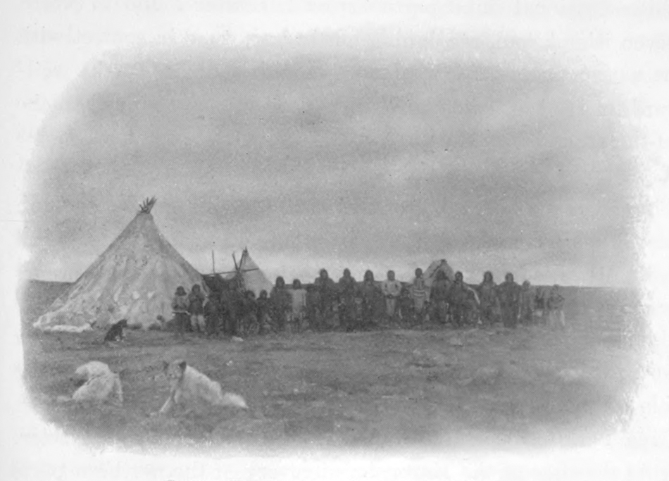
about five miles farther up on the same side, opposite to an
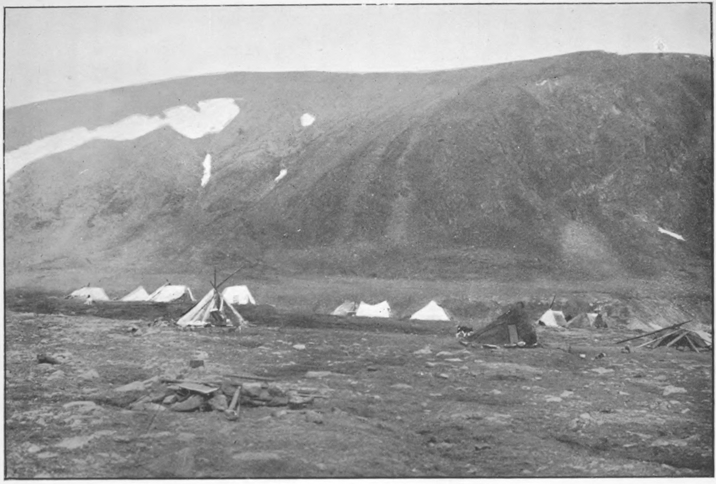
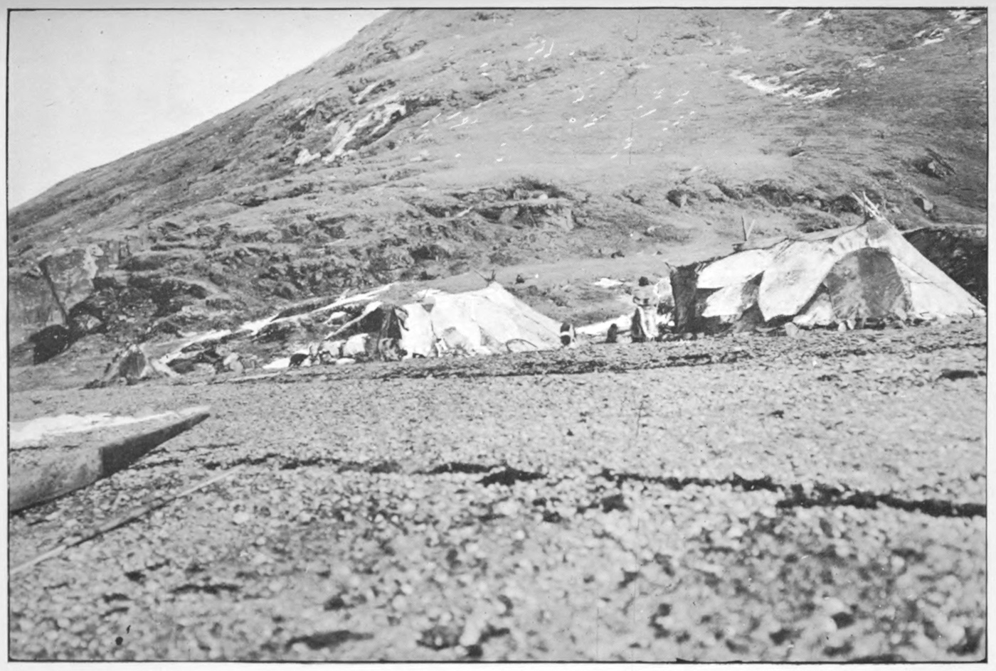
Eskimo encampment and close to a good stream of water.
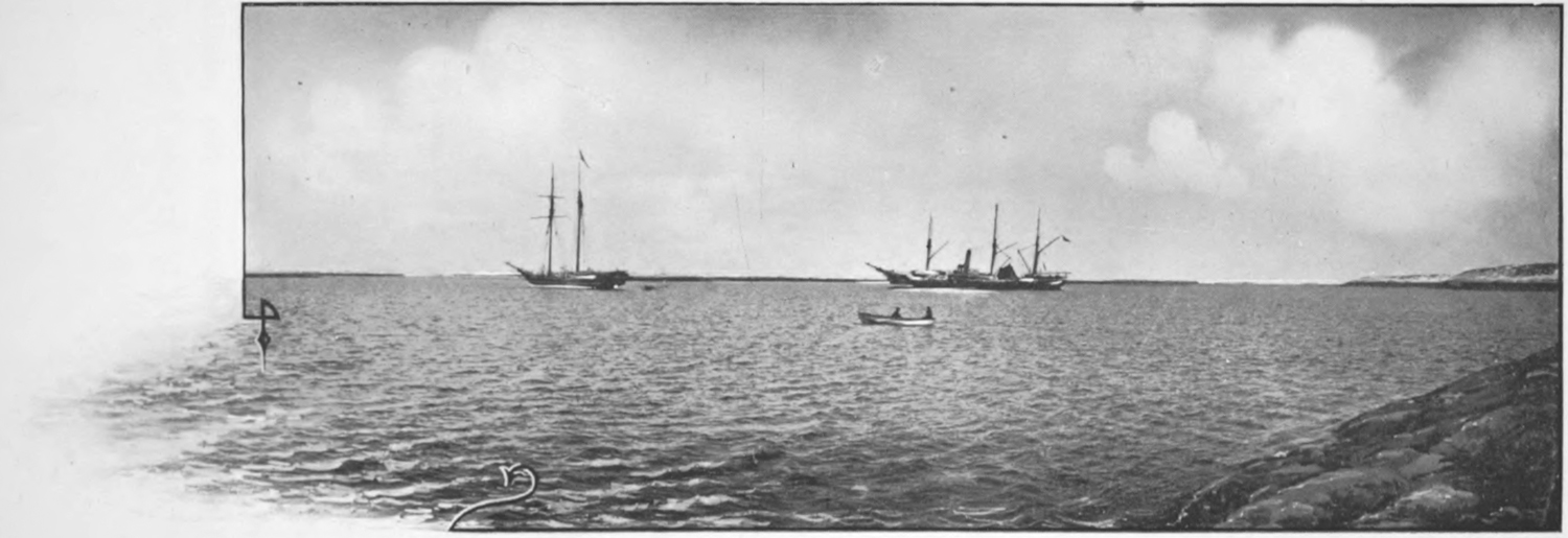
Anchoring at the lower place, we were visited in the evening by
a number of natives from the encampment. Several books,
given for distribution by the Rev. Mr. Peck, were handed out
to them, and they immediately held on deck a service of song
and prayer. These natives had never seen a missionary, but
had learned to read from others at Fort Chimo who had come in
contact with the missionaries on the east coast of Hudson bay.
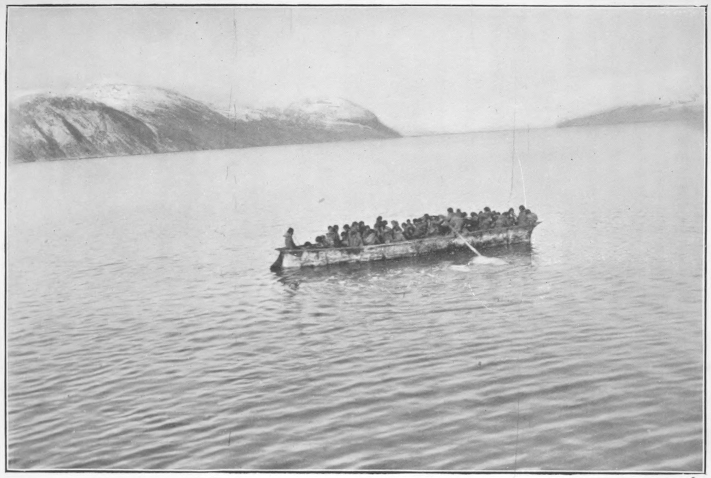
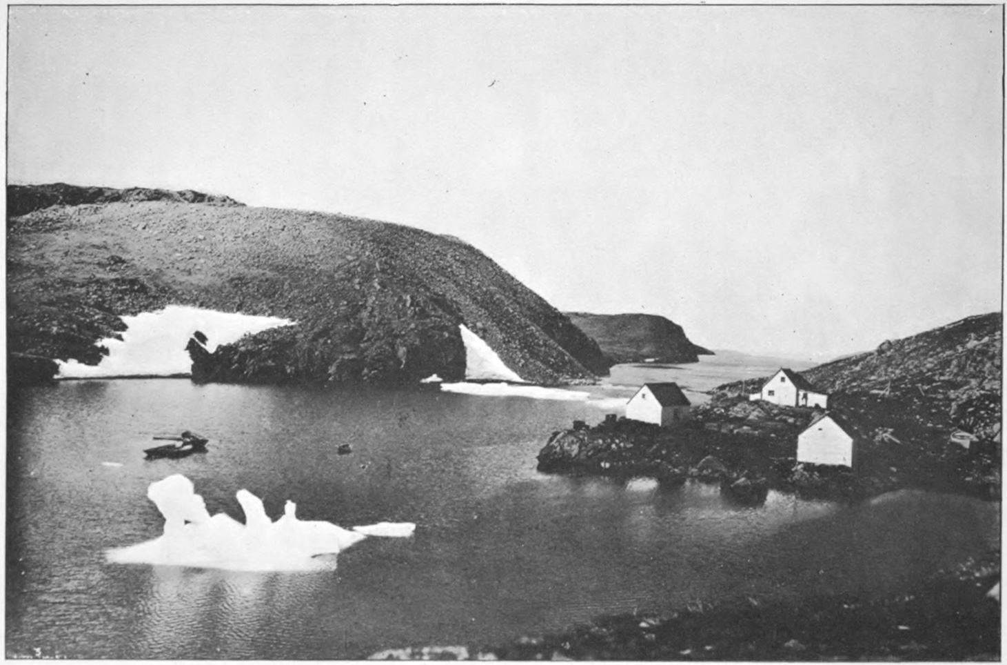
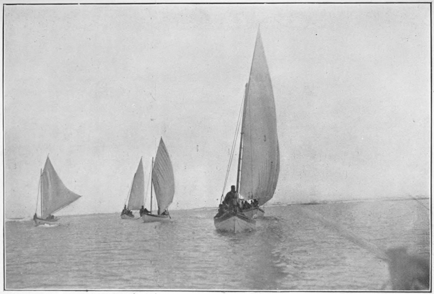
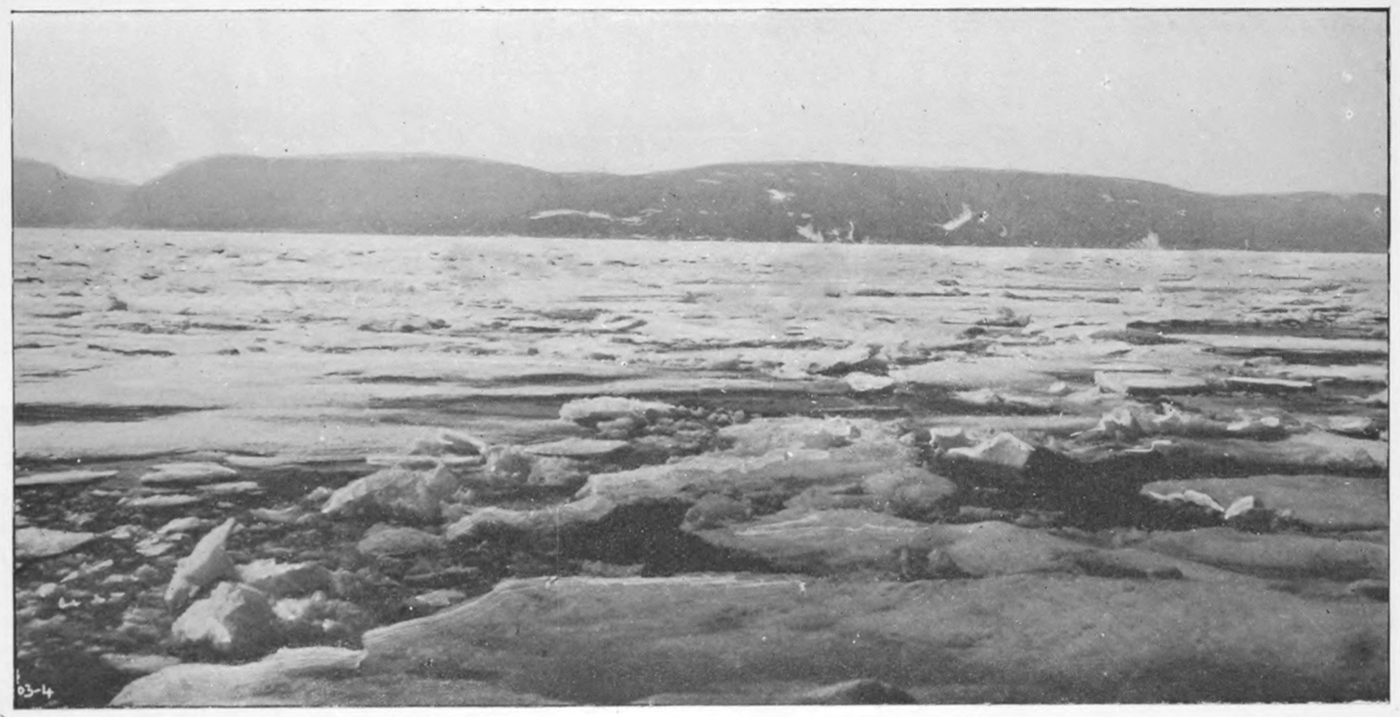
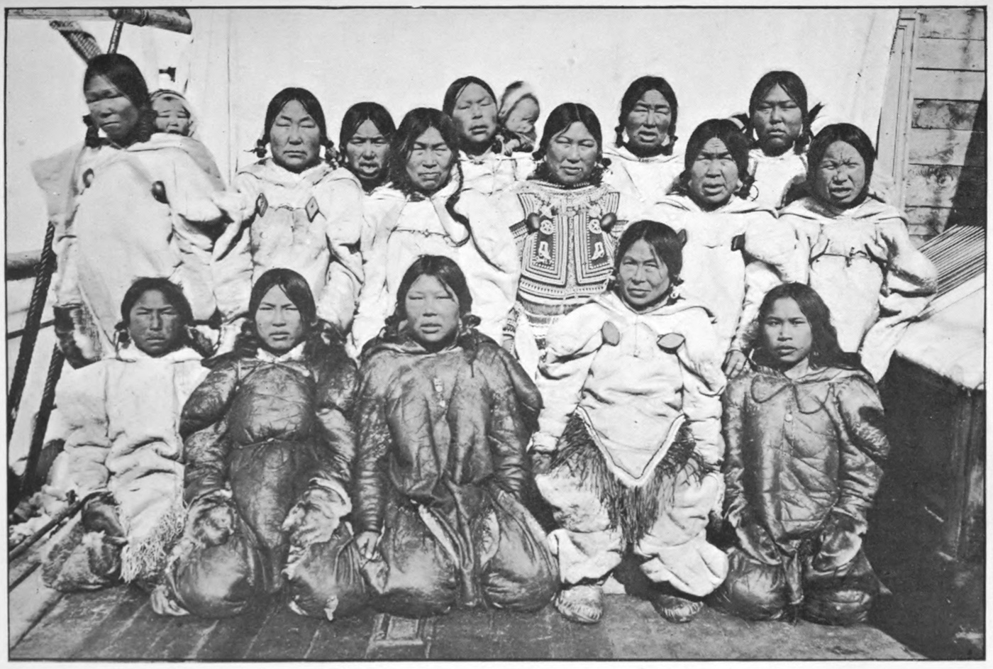
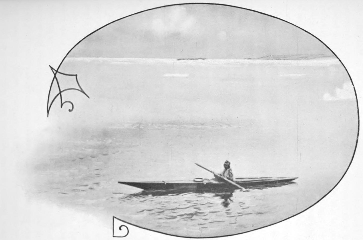
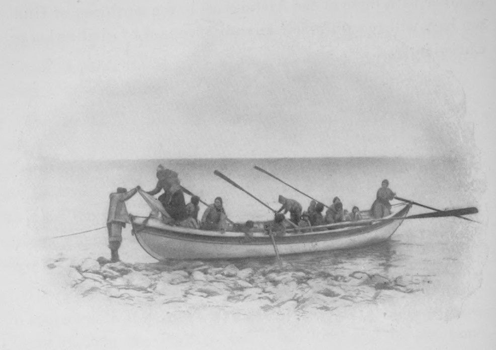
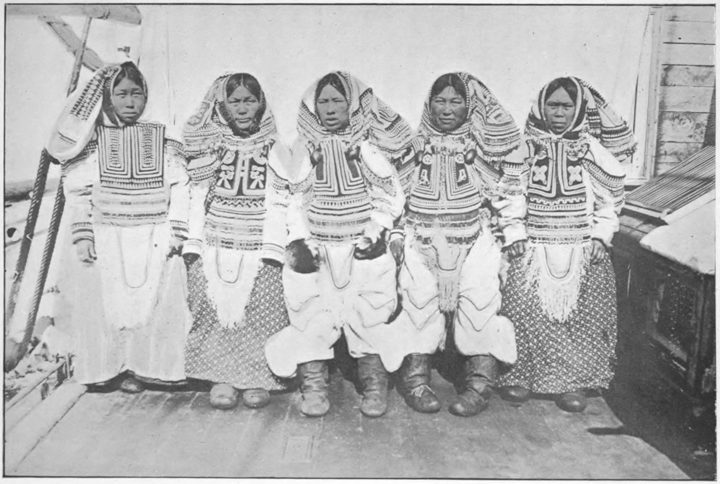
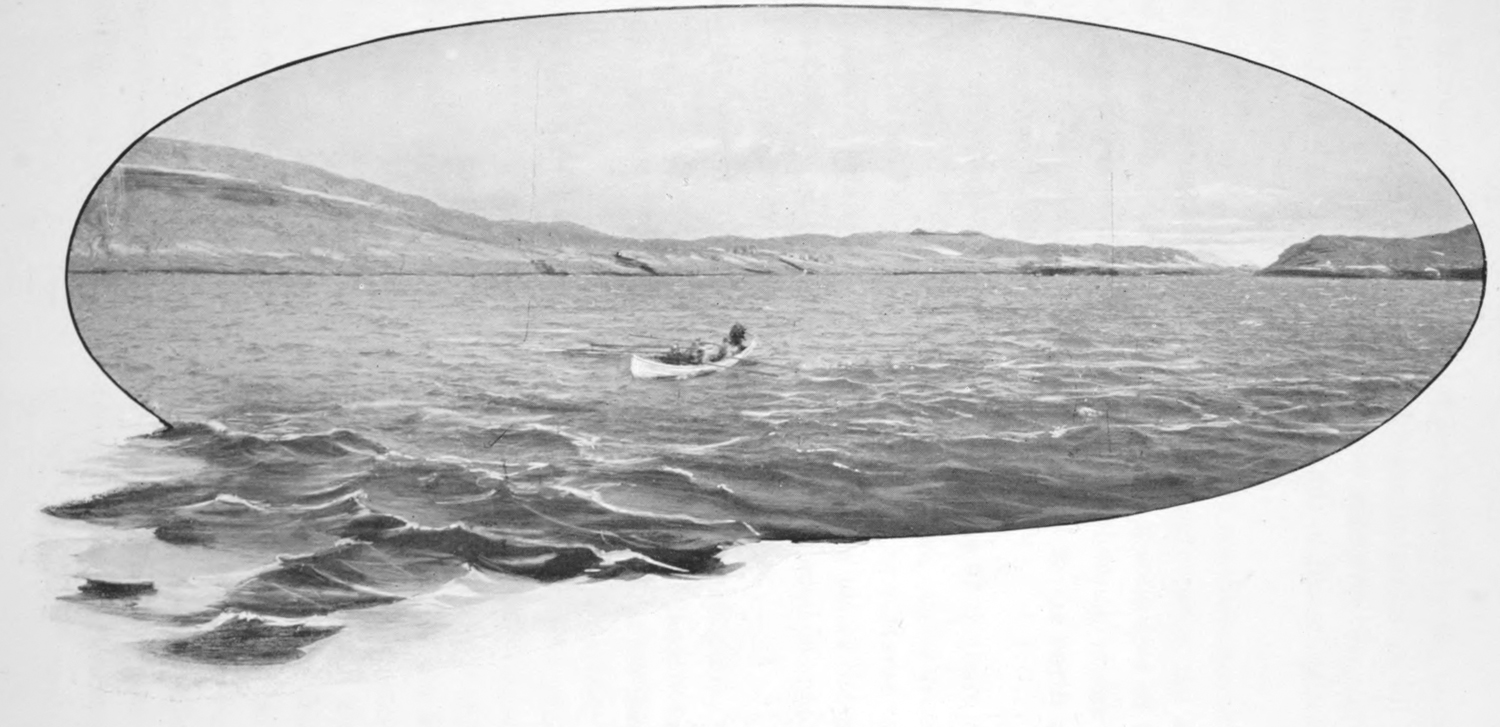
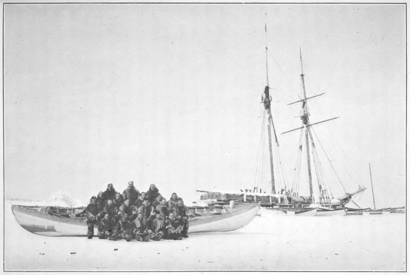
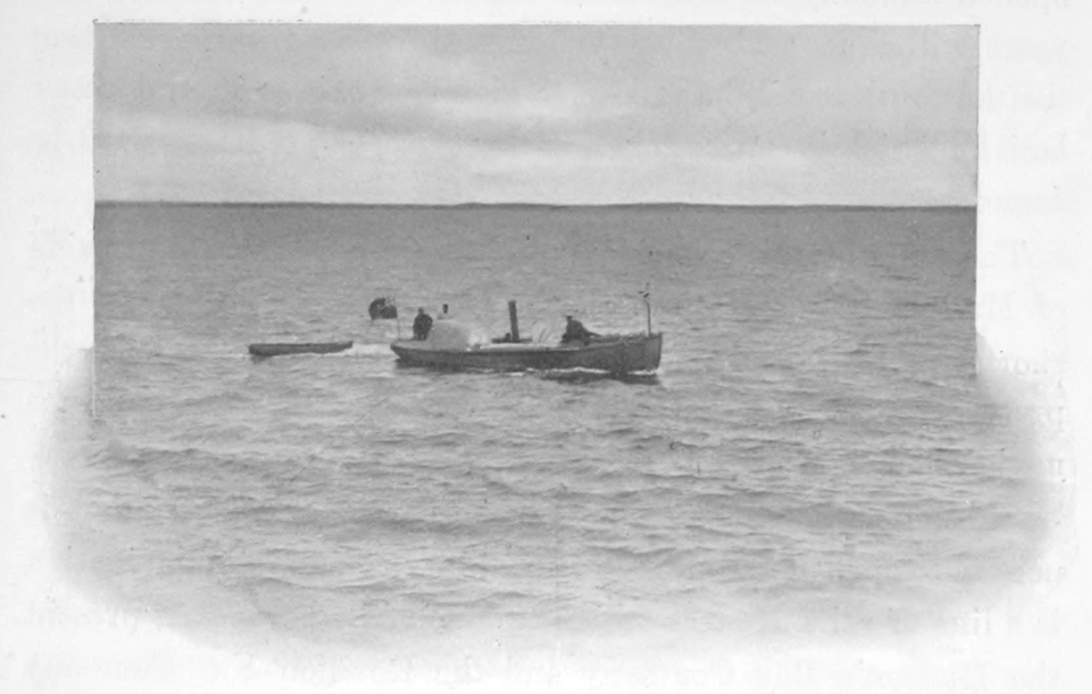
Women’s Boat at Wakeham Bay.
A pilot, well acquainted with the southern coast of the strait
as far as Cape Wolstenholme, agreed to accompany us to Fullerton
and return again on the ship.
We started early in the morning of the 8th, and passed
through King George sound, reaching Douglas harbour at eight
o’clock, where we were boarded by two natives, each in his kyak,
one of which contained a bear lately killed. A number of walrus
were seen about the small islands a few miles east of Douglas
harbour. Continuing close to the coast, shallow water was
encountered while passing inside of Joy island, a few miles east
of Cape Weggs, where suspiciously low islands fringe the shore.
After considerable difficulty had been experienced in extricating
the ship from this dangerous position, deeper water was
followed to the cape, when the course was laid for Charles
island. While steaming along the island next morning a ship
was seen passing out of the strait, but too far away to signal.
She afterwards proved to be the Strom, belonging to the French
Fur Company.
The walrus, so plentiful last year about the western end of
the island, were now absent; consequently we were unable to
obtain a supply of dog-food for Fullerton. The course was next
directed southward for Deception bay, in the mainland, opposite
the western end of Charles island. When within a few miles of
its mouth the water became shallow and the bottom uneven, so
that the bay could only be approached with safety by sending
the launch ahead to sound. It was thought that too much precious
time would be lost in this undertaking, especially as it
was known that a good harbour existed in the bay, where the
whaler Arctic had twice anchored, so we passed westward close
to the land in order to correct the survey made during the night
on the trip eastward. About thirty miles west of Deception bay
the mouth of another long narrow inlet, known as Sugluk bay,
was entered, and the ship continued five miles up it looking for
a convenient place for water. A shallow place was crossed at the
mouth of the bay, probably due to the ship being too close to
the eastern shore, but, inside, the water was found to be very
deep, and an anchorage could only be obtained on the edge of
the narrow mud banks close under the rocky cliffs of both
shores.
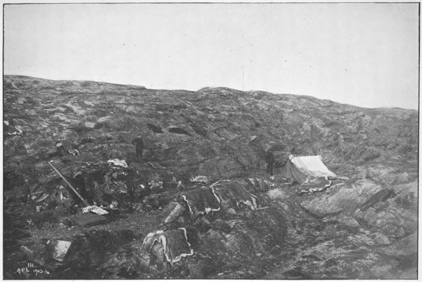
In the small launch, the survey of the bay was continued to
its head, some five miles beyond, where the ship anchored. At
the head of the bay three families of natives were found, living
in a state of destitution. This was their first direct contact
with white men; they were somewhat shy and frightened, but
a present of tobacco and biscuit soon made all good friends.
These people do not visit any of the far away trading posts, but
trade their furs with their neighbours on the east or west for
guns and other articles of civilization.
Considerable difficulty was experienced returning against a
very strong tide, and the ship was not reached until long after
dark.
The following afternoon the remainder of the south coast was
surveyed to Cape Wolstenholme, where we arrived at dark;
then the ship was headed north across the strait for Salisbury
island, the eastern end of which was reached early next morning.
Following close along the steep rocky shores of the
northern side, the northeast point was reached at noon. The
weather throughout the morning had been bad, a strong northwest
breeze bringing down frequent heavy blinding showers of
snow. These showers became almost continuous, and towards
noon only momentary glimpses of the land were to be obtained
at long intervals. The tides here are very swift, and when the
sky cleared a strong ice-glint was to be seen ahead. It was
considered dangerous to attempt to enter the ice in such
weather, with the unknown Mill islands directly in the course;
we therefore turned back to pass south of Nottingham island.
This decision proved wise, for next day the whole mouth of Fox
channel was found completely filled with heavy ice drifted
south from the northern parts of that channel. The condition
of the Neptune’s stem did not warrant any contact with the ice
that could possibly be avoided.
The northern side of Salisbury island rises directly from the
water in granite cliffs to elevations varying from 500 to 1,000
feet. The surface of the island appears to be very rugged and
barren. As a rule the shores are without harbours along this
side, but at both ends there are deep bays protected by rocky
islands, where safe harbours would be found if the water did
not prove too deep. In all of the many soundings taken along
the island, no bottom was obtained at two hundred and twenty
fathoms; this is consequently the deepest water in Hudson bay
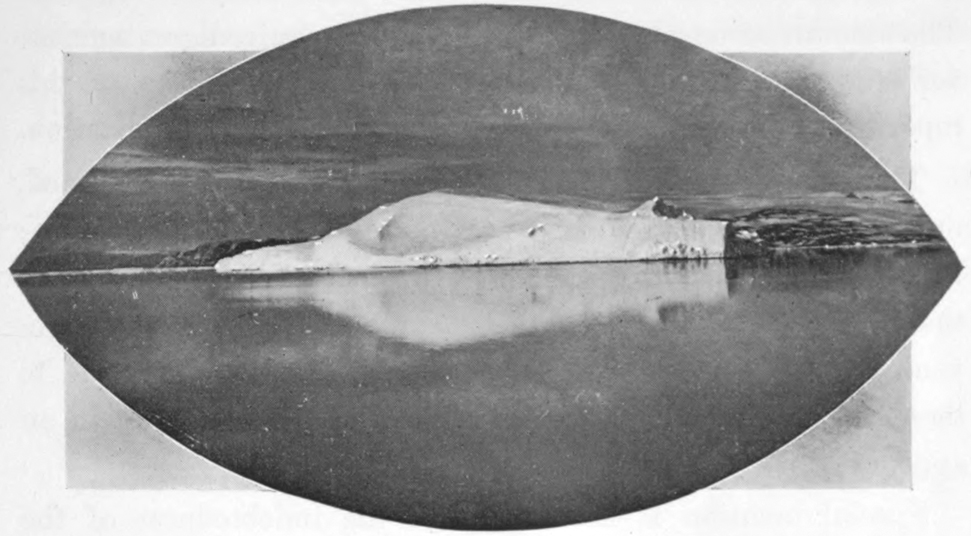
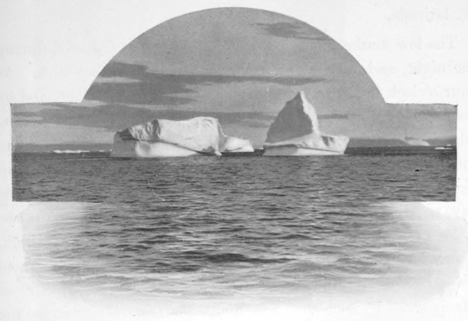
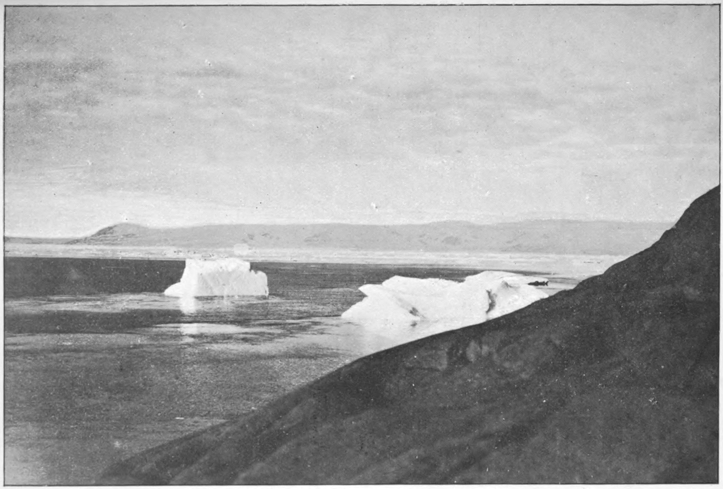
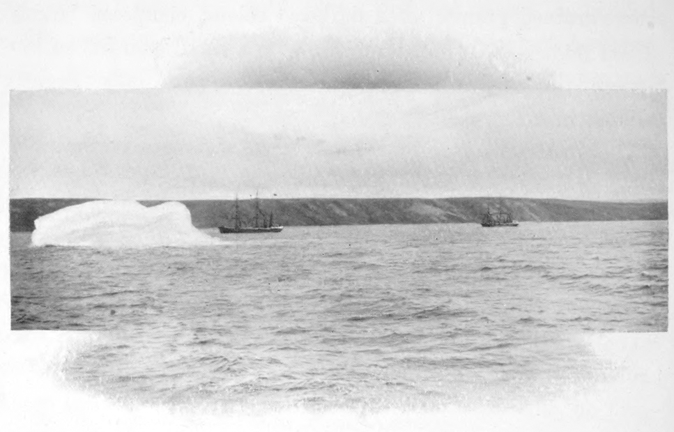
and strait. Two large icebergs were grounded off the eastern
end of the island, while a third very large one had penetrated
to the head of the bay at the northeastern end and was aground
close under the rocks. As these bergs must have come from
Davis strait, there being no glaciers on the lands fronting on
Hudson bay, they show a strong current from the eastward
along the northern side of the strait.
On the 13th, having rounded Salisbury and Nottingham during
the night, ice was met with at nine in the morning, twenty-five
miles to the westward of the last mentioned island. The
course was changed to south of west to skirt the edge of this
great pack, and as it continued unbroken to the westward, the
idea of passing through Fisher strait was abandoned, and the
course was laid to the southward of Coats island. The passage
was encumbered by ice until dark, when the ship lay-to awaiting
daylight. The low southern shore of Coats was then
followed westward to Cape Southampton, after which we headed
away direct for Fullerton. When within a few miles of that
place, on the evening of the 15th, we came up with the Scotch
whaler Active, now bound homeward from Repulse bay. Captain
Murray came on board, seeking the doctor. From him we
learned that the Active had passed us, on our way out, on the
20th of July, when leaving the eastern entrance to Evans strait.
She had come in early in the month, and after landing a number
of miners at Lake harbour, on the north side of the strait close
to the eastern end of Big island, had taken on board a large
number of Eskimos from that place and from the vicinity of
Kings cape, at the entrance to Fox channel. Great difficulty
had been experienced in the ice while crossing Fox channel.
Subsequently, little ice was met with until the ship reached
Repulse bay, which was still solidly frozen, so that the Active
did not get into the harbour there until the 10th of August.
Frozen strait remained full of ice all the season. The Active
and the whaling station in connection with it at Repulse bay
both had a successful season. The catch of the steamer included
thirty-three white whales, thirty-six walrus, and one Right
whale affording 1,300 pounds of bone. The returns of the
station were twenty-eight musk-ox skins, thirty white whales,
and one small Right whale with 500 pounds of bone. In 1903
the combined catch included five Right whales with a total of
40,000 pounds of bone.
The Active on her way out would pass through Fisher strait,
in order to hunt walrus at Walrus island and on the floating ice
on the eastern side of Fox channel. Part of the large crew of
natives would be put ashore at Kings cape and the remainder
at the mica mine, where the results of the season’s mining, some
thirteen tons, would be taken on board, together with the white
men there, and the ship would leave for home about the 1st of
October.
The Era had been met in Repulse bay, and had at that time
not added to her catch since we left Fullerton. Captain Comer
was again to winter in Fullerton harbour, and was on his way
south to go into winter quarters. Including the crew, the
Active had one hundred and twenty-three persons on board;
the ship is quite small, and the accommodation and crowding
can be imagined.
Fullerton was reached next morning, and we were soon
boarded by the police detachment and our old Eskimo friends
of the past winter. During our absence Staff-Sergeant Dee had
made an exciting trip to Repulse bay in a whaleboat manned by
natives.
The day after our arrival the Era entered the harbour, and
Captain Comer reported the lack of success mentioned above.
We remained at Fullerton until the 25th, being busily employed
in the meantime with landing provisions and coals for
the police, shifting coal, and taking aboard ballast. Two of the
policemen who had been left here in the spring were found to
be seriously ill, and on the doctor’s certificate were taken on
board invalided home.
The homeward voyage from Fullerton to Port Burwell was
made in fine weather, and the only incident requiring mention
was that the ice from Fox channel had advanced southward and
westward nearly twenty miles since we last saw it. This necessitated
our keeping close to Mansfield island. Our pilot was
safely returned to his home in Wakeham bay, and Port Burwell
was reached on the 1st of October.
The ship had not been at anchor in the harbour for an hour,
when the Arctic, with Major Moodie and Captain Bernier, came
in. Major Moodie brought the welcome word of recall to the
Neptune, and after procuring some articles of equipment from
us left again that evening, being in a great hurry to reach Fullerton
before the harbour froze over.
A heavy gale of southeast wind kept us in the harbour until
the morning of the 4th, when we rounded Cape Chidley and
turned south bound for home. A fine passage was made down
the Labrador coast, and on the evening of the 7th we reached
Chateau, where telegrams were sent announcing our safe
arrival. The trip across the Gulf of St. Lawrence and along
the coast of Nova Scotia was rough. We arrived in Halifax on
the 12th, looking somewhat weather-beaten, as was only natural
after nearly fifteen months’ absence.
I cannot close this narrative without expressing the deep
feelings of gratitude I bear towards Captain Bartlett and the
officers and crew of the Neptune, for their unfailing and cheerful
attention to duty throughout the voyage, an attention which
rendered my leadership both easy and enjoyable.
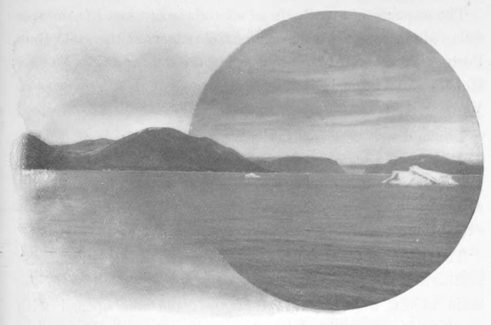
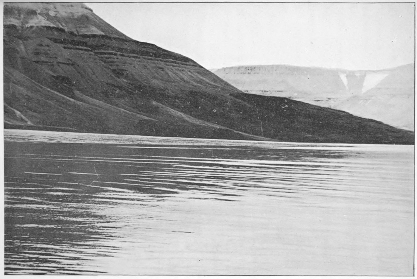
South Coast of North Devon Island.
A summary of Arctic explorations must be confined to a brief
statement of the objects and achievements of the various expeditions,
and in consequence loses the charm of the matter of fact
manner in which the dangers, difficulties and hardships are
recorded in the different narratives.
The history of the exploration of the American Arctics opens
with the first voyage of Sir Martin Frobisher, in 1576, and
practically closes with the return of Sverdrup in the Fram, in
1902. The great land masses of the Arctic islands have now
been outlined, and all that remains to be done is to fill in minor
details.
The acquirement by Spain of all the richer parts of America
followed close on the discovery of Columbus; at the same time
Portugal laid claim to the southern route, by the Cape of Good
Hope, to India and China, in consequence of the discoveries of
Vasco da Gama.
England was thus debarred from these new fields of wealth,
and it was the search for a northern and unclaimed passage to
the East which stimulated, in the reign of Elizabeth, the
awakening enterprise of London and Bristol merchants to outfit
expeditions under brave and adventurous seamen.
The first attempt was made to the eastward, around the
northern coasts of Europe and Asia. Although failing in the
main object, a large and profitable trade was opened with
northern Russia, which led to the founding, by Sebastian Cabot,
of the Muscovy Company of London in 1553.
This company, through selfish motives, was unfavourable to
the prosecution of a search for a northern passage to the westward,
and nothing was attempted in that direction until 1576.
In that year Sir Martin Frobisher, filled with enthusiasm by
accounts of a mythical Strait of Anian, which was said to afford
a safe passage between the Atlantic and Pacific, through the
north temperate regions of America, resolved to explore the
strait. Aided by powerful friends, he overcame the opposition
of the Muscovy Company, and under the direct patronage of the
Queen, he succeeded in outfitting three small clumsy vessels,
two being of twenty-five tons burden each, the third being a
pinnace of ten tons. These he provisioned for twelve months,
and with the combined crews, numbering thirty-five persons,
sailed from the Thames. High pinnacle land, covered with
snow, was seen on the 11th of July, in N. latitude 61°. Off
this land the pinnace foundered with all on board, and his other
consort, deserting, returned to England.
Continuing westward alone, in a leaky ship with a sprung
mast, high land was again seen on the 28th of July. Frobisher
named this land Queen Elizabeths Foreland, but it was not
until the 10th of August that a landing was effected. The following
day, in N. latitude 63°, he entered the bay which bears
his name, thus being the first to reach the great island of Baffin.
He sailed a considerable distance up the bay, believing the
land on his right hand to be the coast of Asia, while that to
the left was the continent of America. The land on the north
side of the entrance to the bay he named the North Foreland,
while Queen Elizabeths Foreland forms the southern point.
While in the bay four of the crew landed without permission,
and were never seen again; in revenge for their supposed
murder by the Eskimos, one of the latter was seized and carried
to England, where he died shortly after arriving.
On his return to England, Frobisher was greatly commended
for his voyage, especially for the hope he brought of a safe passage
to China, and the Queen named the lands bounding the
supposed strait, Meta Incognita.
A piece of ‘black earth’ picked up on Hall island was submitted
to an alchemist, Baptista Angello, who ‘by coaxing
nature’ obtained some gold from it, or said he did. On the
strength of this discovery, money was immediately raised for a
second expedition, with the sole purpose of bringing back ore.
Three ships were again sent out under Frobisher, and returned
well laden with the supposed ore. During the stay of the expedition
in Frobisher bay several skirmishes took place with the
natives, a number of whom were killed.
Fifteen ships were fitted out in 1578 for the third voyage, to
bring home ore. Carried southward by strong currents, the
fleet entered what was later called Hudson strait, and sailed
several days westward through it before the mistake was discovered.
If Frobisher had been on a voyage of discovery he
might easily have entered Hudson bay, but the search for gold
being the object he turned back, and entered Frobisher bay by
passing through the strait to the east of Resolution island. On
the 1st of August most of the fleet was assembled at the
Countess of Warwick island, where the ore was mined, and all
the ships loaded by the end of the month. The ore finally proving
worthless, nothing further was done to continue the
discoveries of Frobisher.
Ten years after the last voyage merchants of London determined
to fit out another expedition to search for the northwest
passage. The enterprise was entrusted to John Davis, ‘a man
well-grounded in the art of navigation.’ Two vessels, the
Sunshine and the Moonshine, were employed for the first voyage,
with a combined crew of forty-two persons. Davis, on his
outward voyage, landed on the southern coast of Greenland, and
named the coast the Land of Desolation. One fiord in latitude
64° 15´, where the mission stations of Godhaab and Nye Hernhut
are located, he named Gilbert’s Sound. Leaving here,
Davis stood to the westward and northward for five days, and
on the 6th of August, 1585, discovered land in latitude 66° 40´,
quite free from ice. He anchored in the mouth of Exeter sound
under Mount Raleigh, calling the north foreland Dier’s cape
and the southern one Cape Walsingham. From here he coasted
southward along the land, and rounded the Cape of Gods Mercy
into Cumberland gulf, up which he sailed for sixty leagues to
some islands. On his return he discovered that Cumberland
gulf was separated from another long inlet, which, not recognizing
as Frobishers bay, he called Lumlie’s inlet. Having crossed
the mouth of this inlet, Davis then crossed to the south side of
another great inlet, and renamed its northern point Warwick’s
Foreland, while the south cape was named after John Chidley.
Davis remarks on the strong tides met with in the entrance to
Hudson strait.
On his second voyage Davis coasted the American shore from
the 67th to the 57th degree of latitude, but added nothing to
his previous discoveries to the northward of Hudson strait.
Keeping near the Greenland coast, on his way northward, Davis
on his third voyage reached latitude 72° 15´. The northern
coast of Greenland he called the London coast. Leaving this,
he sailed west for forty leagues, where he fell in with the ice of
the ‘middle pack’ of the whalers; a strong gale then forced him
south along the edge of the ice, so that no land was seen either
to the west or north.
George Weymouth was the next adventurer to seek the northwest
passage. He was fitted out by the Muscovy Company in
1602. On the 28th of June, in the Discovery, he reached
Warwicks island, between Frobisher and Cumberland bays,
and sailing northward he passed Cape Walsingham and nearly
reached the 69th parallel, when the crew mutinied and forced
him to return south. Passing around Hatton headland on
Resolution island, he sailed a considerable distance up Hudson
strait, and then returned to England, where he arrived on the
5th of August.
Captain John Knight, in the Hopewell, sailed in 1606, but
the voyage terminated speedily and disastrously by the death of
Knight, his mate and three of the crew, who were surprised and
slain by the Eskimos.
Undeterred by these unsuccessful attempts, Sir John Wolstenholme
and Sir Dudley Digges, in 1610, resolved to employ
the Discovery, of fifty-five tons, in searching for the northwest
passage, and nominated Henry Hudson to the command. He
had proved his worth on previous voyages to Spitzbergen and
to the Hudson river. On this, the last of his voyages, he first
sighted the south shores of Greenland; eleven days later he
entered Frobisher bay, but was soon turned back by ice, and so
passed south into Hudson strait, which he followed westward
into Ungava bay, where he was greatly obstructed by ice. Passing
Akpatok island, which he named Desire Provoketh, on the
11th of July, he reached the islands of Gods Mercies, and thence
sailed along the south shore of the strait, naming it Magna
Britannia. He passed into Hudson bay on the 2nd of August,
through a strait about two leagues broad. The southern head
of this was named Cape Wolstenholme and the northern one, on
an island, Cape Digges; a bold headland six leagues to the
northward was called Salisburies Foreland (Salisbury island).
Hudson’s journal ends on the 3rd of August, and the remainder
of the melancholy story is told by Abacuk Pricket, who states
that they were frozen in, on the 10th of November, in the southeast
part of the bay, after sailing three months through a
labyrinth of islands. Dissensions had early sprung up among
the crew, and in the June following a mutiny broke out headed
by Robert Juet and Henry Greene. On the 21st Hudson was
seized by the conspirators, and, with his young son, forced into
a small boat. The carpenter, John King, accompanied him
voluntarily, while six sick men were also forced into the boat,
which was cut adrift, never to be heard of again. On the way
home Juet and other of the leading mutineers were killed by the
Eskimos at Cape Digges, and the remainder only reached England
after great sufferings from famine and other hardships.
In 1612, Sir Thomas Button, accompanied by Bylot and
Pricket of Hudson’s crew, entered Hudson strait through the
channel between Cape Chidley and Button islands. Having
passed the strait, he continued westward, passing the south end
of Coats island, which he named Cary’s Swan’s Nest, and
reached the western side of the bay, to the northward of Chesterfield
inlet, where he named the land ‘Hopes Checked,’ because
his progress westward was thus arrested. Turning south, he
followed the coast to the mouth of the Nelson river, where he
wintered. His crew suffered greatly from scurvy, but an
abundant supply of birds and fish in the spring recruited the
strength of the men sufficiently to allow them to continue the
voyage. This is memorable as the first instance of a crew wintering
in the north and being sufficiently healthy to remain the
following summer. This year’s voyage ended in latitude 65°,
near Whale point in Roes Welcome. On the homeward voyage
Button passed close to a large island south of Southampton,
which he called Mansell, and not Mansfield, as it is now
written.
The following extract from Prince Henry’s instructions for
Button, dated 5th of April, 1612, shows the accurate knowledge
of Hudson strait possessed at that early date: 8. ‘Being in;
we holde it best for you to keep the northern side, as most free
from the pester of ice, at least till you be past Cape Henry;
from thence follow the leading ice, between King James and
Queen Anne’s Foreland, the distance of which two capes observe
if you can, and what harbour or rode is near them, but yet make
all the haste you maie to Salisbury island, between which and
the northerne continent you are like to meet a great hollowe
billowe from an opening and flowing sea from thence.’
In the same year, James Hall and William Baffin went to the
west coast of Greenland in search of a gold mine, at Cunningham
fiord near the Arctic circle, which was reported to have
been worked by the Danes. No ore was found, but traces of old
workings were discovered.
Baffin, accompanied by Bylot, sailed through Hudson strait
in 1615. He then passed north by Mill island and traced the
northeast shore of Southampton island, from Sea-horse point to
Cape Comfort, the last being according to his observations in
latitude 65° N., longitude 85° 22´ W. Doubling this cape, the
tide was found to set differently from what had been expected,
and gave no hope of a passage in that direction, so he turned
back. The following extract from Baffin’s journal gives his
opinion as to the possibility of a passage westward being found
leading from any of the channels entering Hudson bay:—‘And
now it may be that some expect that I should give my opinion
concerning the passadge. To those my answere must be, that
doubtless there is a passadge. But within this strayte, whome
is called Hudson’s straytes, I am doubtfull supposinge the contrarye.
But whether there be or no, I will not affirme. But
this I will affirme, that we have not been in any tyde than that
from Resolutyon Iland, and the greatest indraft of that cometh
from Davis’ straytes; and my judgment is, if any passadge
within Resoluyton Iland, it is but som creeke or inlett, but the
maine will be up fretum Davis.’
In accordance with this opinion, in 1616, Baffin sailed up
Davis strait, his instructions being to reach if possible the 80th
parallel before turning westward. By following the Greenland
coast he was able to reach Horn sound in latitude 74° before
being greatly embarrassed by ice. Here he met a band of
Eskimos, with whom he traded for narwhal horns and walrus
teeth. Being liberated from Horn sound, Baffin continued
northward past Cape Digges, in latitude 76° 35´, and across the
entrance of Wolstenholme sound to Whale sound, where he was
again beset in the ice during a gale. After being released, he
passed Hakluyt island and reached the offing of a great sound
extending northward of the 78th parallel of latitude; this he
named after Sir Thomas Smith. This was the northern limit
of the voyage. He now turned south, passing Cary islands, and
on the 10th of July anchored at the mouth of Alderman Jones
sound, where a great number of walrus were seen, but no
natives. On the 12th Sir James Lancaster sound was discovered,
but could not be entered on account of the ice across its
mouth. Baffin could not penetrate these sounds owing to the
strong westerly winds blowing out of them. Finding the ‘middle
pack’ immediately south of Lancaster sound, thickly
jammed on the western shore, Baffin stood across to the Greenland
coast, in more open water, and so returned home. In his
report Baffin says that after having coasted nearly all the way
round, he considers it nothing but a great bay, and draws
attention to the importance of the whale fishery, which soon
after was begun, and lasts to the present day.
About this time a Danish expedition, under the command of
Jens Munck, sailed into Hudson bay and wintered in the mouth
of Churchill river. The ships were unprepared for a winter in
the north, and, consequently, the crew suffered terribly from
the ravages of scurvy, so that in the spring, out of fifty-two persons
only Munck and two others survived. These fortunately
procured some grasses from under the snow, and as the water
opened killed ducks and fish enough to give them strength to
repair the smaller vessel, in which they reached home.
The Muscovy Company, in 1631, again decided to send out
an expedition to search for a passage from Hudson bay, and
entrusted the command to Captain Luke Fox. Having passed
through Hudson strait he landed at Cary’s Swan Nest, and then
rounded the southwest point of Southampton island, and proceeded
to explore the channel between that island and the mainland,
up to latitude 64° 10´, where he saw an island near the
mainland, which he named Sir Thomas Roe’s Welcome, a name
now applied to the channel as a whole. Fox’s instructions limited
him to the coast south of latitude 63°, so he now stood to
the south along the shore, passing Marble island, which he called
Brooke Cobham, and the mouth of the Churchill river, and
reaching Nelson river on the 10th of August. Keeping a southerly
course for a fortnight longer, he fell in with Captain James
near Cape Henrietta Maria. Having convinced himself that
there was no opening to the west between latitudes 65° 30´ and
55° 10´, Fox turned northward and explored Fox channel to
the east of Southampton island, naming the prominent points
on the west side of Baffin island, King Charles his Promontory,
Cape Maria, Lord Weston’s Portland and Point Peregrine, the
last being the most northerly point reached.
Captain James was in command of a rival expedition, fitted
out the same year, with instructions to explore to the south of
the track taken by Fox. After parting with Fox, he sailed
southward along the west coast, thoroughly examined it, and
after several narrow escapes from shipwreck through grounding
on shoals, finally ran his ship aground on Charleton island, and
there passed the winter. James gives a woeful tale of the hardships
caused by cold, lack of food and scurvy. He states that
the cold was so intense that wine, sack, oil, vinegar and even
brandy froze solid; that the cook soaked his salt meat near the
fire to prevent it from freezing, and that the side near the fire
was found to be warm while the opposite side was frozen an
inch thick. This is a sample of James’ report, and shows what
reliance may be placed on his other statements.
From the time of Charles I. to that of George I. England
was convulsed with civil war and revolutions, and was at war
with other nations abroad, so that for nearly a century after
Fox no maritime discoveries were undertaken, and nothing
would have been done in the north but for the foundation of the
Hudson’s Bay Company.
Two French Canadian fur traders, named Radisson and
Chouart dit Groseilliers, had for a number of years traded and
lived with the Indians in the country north and west of Lake
Superior, learning much about the great sea to the north, and
the canoe routes leading to it. They visited its southern shores
in 1659, and on their return to Quebec endeavoured to enlist
prominent merchants there in a scheme to establish permanent
trading posts on the bay, to be supplied by ships from Canada
or France. Being unsuccessful, they crossed to Paris, where
they found no one to advance the capital necessary to start the
project. The English ambassador, hearing of their scheme, sent
them to London, where they interested Prince Rupert and
several influential men of the court and city.* These advanced
sufficient money to outfit a small vessel, under the command of
Zachariah Gillam, a New England captain, who, accompanied
by Groseilliers and Radisson, sailed through Hudson strait and
down the bay to the mouth of Rupert river. Here friendly
intercourse was held with the natives, and a small fort was
built, in which the party successfully wintered.
On the return of Gillam, in 1669, Prince Rupert and his
associates applied to Charles II. for a charter. This was granted
on the 2nd of May, 1670, to the Governor and Company of
Adventurers trading from England to Hudson bay. It states
that
‘in consideration of their having at their own cost and
charges undertaken an expedition to Hudson bay in the northeast
parts of America, for the discovery of a new passage to the
South sea, and for the finding of some trade for furs, minerals
and other considerable commodities, and of their already having
made by such their undertakings such discoveries as did encourage
them to proceed farther in pursuance of the said design,
by means whereof there might probably arise great advantage
to the King and his Kingdom, absolutely ceded and gave up to
the said undertakers, the whole trade and commerce of all those
creeks, seas, straits, bays, rivers, lakes and sounds, in what latitude
soever they may be, which are situated within the entrance
of the Hudson’s straits, together with all the countries, lands
and territories upon the coasts and confines of the said seas, &c.,
so that they alone should have the right of trading thither, and
whoever should infringe this right, and be found selling or buying
within the said boundaries, should be arrested and all his
or their merchandises should become forfeit and confiscated,
so that one-half thereof should belong to the King and the other
half to the Hudson’s Bay Company.’
In 1670 the newly formed company sent out Charles Bayly,
as Governor, to establish Fort Rupert at the mouth of Rupert
river, in latitude 51° 30´, thus establishing their sovereignty by
right of the first permanent habitation of the territory granted
to them by the King, whose right was that of discovery by
Hudson.
The French soon felt the competition of the English trading
posts on Hudson bay, and sought to oust them, claiming the
territory about Hudson bay by right of discovery and possession.
They claimed that in 1656 the Sovereign Council of
Quebec authorized Jean Bourdon to make discoveries in Hudson
bay, and that he proceeded there, took possession in the
name of the King of France, and made treaties of alliance with
the natives. This claim is disproved by the journal of the
Jesuits for that year, which relates that Bourdon sailed on the
2nd of May, and returned on the 11th of August, having been
stopped by ice on the coast of Labrador, where a Huron Indian
was killed by the Eskimos.
The Governor of Canada, D’Argenson, in 1661, despatched
Dablon, a Jesuit missionary, accompanied by Druillette de
Vallière, to the country about Hudson bay. They travelled by
way of the Saguenay, but did not reach the watershed, their
guides refusing to proceed on account of Iroquois war parties
being between them and Hudson bay. The ravages of
the Iroquois were such that no travel was possible in the north
until 1663, when Sieur de la Couture with five men, it is
claimed, proceeded overland to the bay, took possession of the
territory in the name of the King of France, noted the latitude,
planted a cross, and deposited His Majesty’s arms engraved
on copper at the foot of a large tree. Sieur Duquet and Jean
L’Anglois are said to have visited the bay the same year, by
order of D’Argenson, and to have there set up the King’s arms.
No mention of these important expeditions occurs in the Relations
des Jésuites. The first Frenchman whose visit to the bay
is undisputed, was the missionary Albanel, who crossed by way
of the Saguenay and Rupert rivers, arriving at the mouth of
the latter on the 28th of June, 1672, where he found a small
fort and a boat belonging to the English traders.
The Hudson’s Bay Company, always energetic in establishing
trading posts wherever the Indians congregated about the
shores of the bay, had, by 1685, small forts at the mouths of the
Albany, Moose, Rupert, Eastmain, Severn and Nelson rivers.
All were trading posts except Eastmain, where a mica mine
was worked for a few years, but finally abandoned as unprofitable.
No attempts were made to carry the trade inland in
direct competition with the French, whose coureurs de bois the
English appear to have held in great respect.
Many complaints were soon made to the Governor of Canada
by merchants and missionaries that the English posts on the bay
were ruining the fur trade and demoralizing the natives; and
he, knowing no affront in this quarter would cause James II.
to break with Louis XIV., resolved, in a time of peace, to take
possession of the English forts. The Governor accordingly sent
a detachment of soldiers, under the command of Chevalier de
Troyes, overland from Quebec, who, almost without a struggle,
took possession of Rupert, Moose and Albany forts. This was
the commencement of an intermittent warfare between French
and English on Hudson bay, lasting until the treaty of Utrecht,
in 1713. In 1690 D’Iberville sailed from Quebec with two ships
to capture Fort Nelson, but was unsuccessful. War having been
declared between England and France in 1693, the Company,
assisted by warships, retook Albany, Moose and Rupert forts.
The following year D’Iberville, with two ships and one hundred
and twenty men, took Fort Nelson from the English; while a
strong force, sent overland from Canada, easily recaptured
Albany and Rupert forts. These latter places were a second
time recovered by the assistance of the warships Bonaventure
and Seaford, in 1695: while in the following summer Fort Nelson
was recovered with the aid of four warships.
In 1697 D’Iberville again visited the bay, where he destroyed
the English ships amongst the ice, and afterwards took Nelson,
renaming it Fort Bourbon. By the treaty of Ryswick, signed
in this year, each country returned to the other all places taken
during the war, and retained those captured previously, thus
leaving to the company the possession of Albany only.
Affairs remained in this condition until the treaty of Utrecht,
in 1713, when the French relinquished all claims to the territory
about Hudson bay.
The first attempt at exploration inland was made by the
Hudson’s Bay Company, in 1691, when Henry Kelsey, by order
of the Governor at Nelson, accompanied some Indians to the
interior. From his diary, it would appear that he journeyed,
in a canoe, some distance up the Nelson river, and then tramped
overland to the open country north of the Saskatchewan.
In 1719, the Company made extensive preparations for an
exploration of the northern parts of Hudson bay. The expedition
consisted of a frigate, commanded by Captain Vaughan,
and a sloop by Captain Barlow, the chief command being entrusted
to Captain James Knight, who had been governor of a
number of the forts, but who was eighty years of age. The
expedition sailed from England in June, well stored with provisions,
with a house in frame and a large stock of goods for
trade. Their instructions were to proceed to the northward, by
Sir Thomas Roe’s Welcome, as far as 64° latitude, in search of
the Anian strait. As the ships did not return to England in
1720, fears were entertained for their safety, and orders were
despatched by the next ship to send the Whalebone, John
Scroggs, master, in search of them. The instructions reached
Churchill too late to be acted upon that season, and Scroggs did
not sail until 1722. After considerable trouble with shallow
water and shoals along the coast, he managed to reach Marble
island, where pieces of wreck were found, but they were considered
of no importance by Scroggs, who returned without
continuing the search. Hopes were long entertained that
Knight had made his way to the Pacific, and it was not until
1767 that the fate of the expedition became known. That year
the Company started a whale fishery at Marble island, and one
of the boats engaged in the fishery accidently discovered a harbour
near the east end of the island; at its head guns, anchors,
cables and many other articles were found. The wrecks of the
ships lay in five fathoms of water, and the remains of the house
were still in existence, with two skulls on the ground near by.
Hearne learned from the Eskimos that the ships arrived late in
the summer, that the larger one received much damage entering
the harbour, that soon after arriving the house was built and
that the white men numbered about fifty. When the natives
again visited them, during the following summer, their number
was greatly reduced, and the remainder were unhealthy. The
carpenters were then at work on a boat. By the beginning of
winter the number was reduced to twenty, and in the following
summer only five remained alive, all of whom died within a
few days after the arrival of the natives. That such a disaster
could occur within two hundred and fifty miles of Churchill is
astonishing at the present day, when so much more is known
of the comparative ease with which long journeys may be made
over the snow and ice in the springtime.
After this disastrous termination of their first expedition by
sea, the Company was not eager to undertake another, but they
were practically forced to do so by Arthur Dobbs, a zealous and
enthusiastic advocate of the northwest passage. On his insistence,
two sloops were sent northward from Churchill, in 1737,
to open trade with the natives, and to look for a northern passage
to the westward; the latter seems never to have been
seriously undertaken, and did not at all satisfy Dobbs.
In 1741, Captain Middleton, who had been long in the service
of the Hudson’s Bay Company, was selected by the Admiralty
to conduct an expedition of discovery up the Welcome. He
sailed with two small vessels, and wintered at Churchill. The
following summer he proceeded northward, and discovered
Wager inlet and Repulse bay, the south headland of which he
named Cape Hope. Being unable to proceed farther on account
of ice, he walked fifteen miles to a high point, from which he
saw a frozen strait, turning round the north end of Southampton
island, with the flood tide coming from Fox channel into
Repulse bay. On Middleton’s return, Dobbs was greatly disappointed,
and preferred charges against Middleton to the
Admiralty, accusing him of want of honesty in the report of his
proceedings, and of concealing everything that told in favour
of a passage, so that he might serve the interests of the Hudson’s
Bay Company, which he, Dobbs, alleged would be injured by the
discovery of a northwest passage. The honest reply of Middleton
and the evidences which he adduced of the truth of his statements
satisfied the Admiralty, but it was not until eighty years
later that the correctness of his statements was verified by
Parry. In the meantime Dobbs had influence enough to procure
the passage of an Act of Parliament, offering a reward of
£20,000 for the discovery of a northwest passage; and was also
instrumental in raising sufficient money to outfit two ships to
earn the reward. They sailed in 1746, and wintered at Port
Nelson. Their captains agreed only on one point, and that was
that they were not expected to explore Repulse bay and the
Frozen strait, and, after an examination, that Wager inlet could
connect only with the Welcome. On the 25th of August a council
was held, and a ‘definitive resolution was taken to bear away
without further delay for England’—‘the discovery being
finished,’ as the narrative puts it. Both ships had entered Chesterfield
inlet, which had been examined as far as an overfall or
cascade. The account of this was not thought satisfactory in
England, so, to settle the question the Hudson’s Bay Company
sent Captain Christopher in a sloop to examine it again, in
1761. On his return he reported that he had navigated the inlet
for more than 150 miles in a westerly direction, until he found
the water fresh, but had not seen its end. On this, Mr. Norton
was sent, in 1762, to trace it to its extremity, which he did, and
found it to end at a distance of 170 miles from its entrance,
in a fresh water lake seventy-two miles in length, and from
twenty to twenty-five miles wide. In 1791 Captain Duncan
examined, for the Hudson’s Bay Company, Corbets or Rankin
inlet, which proved to be a bay, and Chesterfield inlet, which he
found to agree with Norton’s description.
Samuel Hearne, a clerk in the service of the Hudson’s Bay
Company, started, in 1770, with a party of Chipeweyan
Indians, and travelled overland on foot to the mouth of the
Coppermine river, where the Indians massacred a number of
Eskimos. On his return journey he passed Great Slave lake,
and reached Fort Churchill in safety after one of the most
remarkable journeys ever accomplished.
This ended for many years the attempts of the Hudson’s Bay
Company at northern exploration, their undivided energies
being required to maintain the trade struggle with their energetic
rivals, the North-west Company.
Previous to the conquest of Canada, the French fur traders
had carried their trading posts beyond the great lakes, across
the wooded country to Lake Winnipeg, and thence up the
Saskatchewan to the foot of the Rocky mountains. Shortly
after the cession, a number of Scotch and Canadian merchants
acquired the rights of the old French company, and prosecuted
the trade with such increased vigour as to greatly diminish that
of the Hudson’s Bay Company, who in self-defence were compelled
to establish trading posts inland close to those of their
rivals. In this manner the interior of British America was soon
dotted with trading stations that extended over the whole
territory from the bleak shores of the Atlantic to and beyond
the Rocky mountains. The strong rivalry for furs soon led
to collisions between the partizans of both companies, and blood
was often shed; the natives were debauched with liquor, and
general lawlessness continued until the amalgamation of the
companies in 1820.
The wars with the American colonies and with France occupied
the undivided attention of the British nation until after
the final fall of Napoleon, and during this period nothing was
done to further the renewal of the search for a northwest
passage, until 1817, when Captain Scoresby published an account
of the great disruption of the ice in the Greenland seas,
and pointed to the ease with which explorations might then be
carried on in the Arctics. He was aided by Sir John Barrow,
secretary to the Admiralty, who, by his writings and personal
influence, induced the British government to again undertake a
series of Arctic explorations.
Two ships, well equipped for wintering in the north, were
fitted out to explore the regions westward of Davis strait. The
Isabella, commanded by Captain John Ross, and the Alexander,
by Lieutenant William Edward Parry, were selected for this
undertaking. They sailed on the 3rd of May, and were first
stopped by ice just north of Disko island on the 17th of June.
Melville bay was crossed with some difficulty, and a delay of a
week occurred near Cape York. At midnight on the 19th of
August the Isabella was in latitude 76° 54´ N., with the Cary
islands bearing southeast; this was the most northerly point
reached. Ross considered Smith sound a closed bay, and named
the capes forming each side of it Isabella and Alexander, after
the ships. He stated that the sound probably extended eighteen
leagues; sailing down the western side, the mouths of Jones
and Lancaster sounds were passed, both free from ice, but Ross
did not enter them. He described Lancaster sound as closed by
the Crocker mountains. The expedition returned to England in
October, having practically accomplished nothing beyond confirming
the statements of Baffin made many years before.
The report of Ross was not thought conclusive by the Admiralty,
and in 1819 the Hecla and Griper were commissioned
to explore Lancaster sound. Lieutenant Parry was given command
in the Hecla, with Lieutenant Mathew Liddon in the
Griper. The ships, without much difficulty, reached the mouth
of Lancaster sound, and sailing over the supposed Croker mountains,
continued westward past Regent inlet on the south, and
Wellington channel and Byam Martin channel on the north,
reached the south side of Melville island, where the winter
was safely passed by both ships in a small cove called Winter
harbour. The following summer an attempt was made to penetrate
the heavy arctic ice which forms a perpetual barrier across
the strait between Melville island and Banks island; this proving
impossible, the expedition returned safely to England in
October, 1820. Parry on his voyage passed over nearly half the
distance between the Atlantic and Pacific, and saw from his
farthest western point the shores of Banks island beyond the
middle of that distance. He laid down, on the north of his
track, the chain of islands bearing the names of North Devon,
Cornwallis, Bathurst and Melville; and on the south, North
Somerset, Cape Walker and Banks.
Sir W. E. Parry, in 1821, made his third voyage to the Arctic
islands, in command of the Fury, having as second in
command Captain G. F. Lyon, in the Hecla. This time the
attempt was made through Hudson strait and up Fox channel.
The first season, he examined Repulse bay and went into winter
quarters at Winter island, a few miles beyond the eastern
entrance of the Frozen strait of Middleton, whose accuracy was
proved after being long clouded by the reckless attacks of Dobbs.
The ships were released from the ice on the 28th of June, and
no time was lost in pushing northward, until stopped by the
heavy ice off the eastern mouth of Fury and Hecla strait, where
the remainder of that season and the early part of the next were
spent in trying to pass through the strait, the eastern part of
which remained continuously blocked with heavy ice.
A fourth time Parry tried to make the northwest passage, by
way of Regent inlet. This attempt was terminated by the shipwreck
of the Fury, commanded by Captain Hoppner. With
great forethought, Parry caused all the provisions to be landed
from the wreck and safely housed on Fury beach, where they
were subsequently found by Ross, and were the means of rescuing
his crew from starvation.
During the time that Parry was making his important discoveries
by sea, Lieutenant John Franklin was employed in
tracing the northern shores of the American continent. From
1819 to 1822 Franklin was engaged in leading an expedition
overland from Hudson bay to the Arctic shores, in the vicinity
of the Coppermine river. The Admiralty, who planned the
expedition, knew practically nothing about the conditions for
travel through the regions that it purposed exploring, and depended
for aid solely upon the Hudson’s Bay Company.
Unfortunately, at this time the quarrel between the Hudson’s
Bay Company and the North-west Company was at its height,
and the resources of both were consequently greatly crippled.
The North-west Company were far stronger in the Mackenzie
river valley, and their rivals, who were to help Franklin, were
unable to give him very efficient aid, or to supply him with a
large stock of provisions; in consequence, he started from the
outposts with almost no food, determining to trust to his hunters
for the provisions required for his party. This finally led to
disaster, and on the retreat from the Arctic sea, over one-half of
the party, including Lieutenant Hood, died of starvation.
Franklin left England in the Hudson’s Bay Company’s ship,
accompanied by Lieutenants Back and Hood, Dr. Richardson
and one seaman. They arrived at York Factory, and there met
four of the leading partners of the North-west Company, who
were held prisoners by their rivals. As these men had spent a
number of years in the Mackenzie river country, Franklin
obtained much valuable information from them. After a few
days at York, the party proceeded by canoes from there, 650
miles to Cumberland House, on the Saskatchewan river,
where the first winter was passed. The following summer
the party, reinforced by a number of Canadian voyageurs,
started northward in canoes, and reached Fort Chipewyan,
on Great Slave lake, before the ice had melted. The expedition,
now consisting of twenty-five persons, started away
from Fort Chipewyan with one day’s supply of provisions and
a totally inadequate amount of ammunition. Travelling to the
north side of the lake, the party was further increased by a band
of the Copper Indians, and all journeyed to Fort Enterprize,
which was built near the edge of the barren lands, in latitude
64° 30´ N. The total distance travelled during this season was
1,350 miles. Venison was plentiful during the winter, but the
supply failed in the spring, so that a start was made over the
barrens without any food except such as fell to the hunters from
day to day. The distance from Fort Enterprize to the mouth
of Coppermine river is 334 miles. The first 120 miles were
made by tramping with canoes and outfit over the snow; the
remainder was made in canoes, and the mouth of the river was
reached on the 21st of July. Turning eastward, the shores of
Bathurst inlet and Coronation gulf were surveyed to Point
Turnagain, in latitude 68° 19´ N. and longitude 109° 25´ W.
The canoes were detained here for several days by a snowstorm,
and a retreat was necessary as soon as the weather moderated.
The course along the coast was therefore retraced to Hood river,
and that stream was ascended for a short distance. The equipment
was reduced to the smallest compass, and a course was
shaped overland for Fort Enterprize, the travelling being
through deep snow. Game was very scarce, and the hardships
soon began to tell on the weaker members of the party, with the
result, as before stated, that half the number succumbed to cold
and starvation. The survivors were succoured by Indians on
the 7th of November, and reached the Hudson’s Bay post on
Great Slave lake on the 11th of December, and England in
October, 1822.
In 1825-27, Captain Sir John Franklin resumed his exploration
of the Arctic coasts of America in much happier circumstances.
The rival fur companies had now amalgamated,
forming one powerful company, with full control over the
natives, and capable of rendering valuable assistance to an
exploring party in the far north. Franklin, profiting by his
former sad experience, had a large supply of pemmican prepared
in advance, and stored at Fort Chipewyan. The journey
from England was made by way of Montreal and the great
lakes. After passing a winter at Great Bear lake, Franklin
descended the Mackenzie to its mouth, and then surveyed the
coast westward to Return reef, passing the northern end of the
Rocky mountains, leaving only 160 miles of unsurveyed coast
between his farthest point and Point Barrow, reached the same
year by Captain Beechey in boats from Bering straits.
While Franklin was thus engaged with one-half of his party,
the other half, under the command of Dr. Richardson and Lieutenant
Kendall, were exploring the coast between the mouths of
the Mackenzie and Coppermine rivers. These surveys carried
the exploration from Bering strait to Coronation gulf, with
only a break of 160 miles between Return reef and Point Barrow,
or through sixty degrees of longitude. The eastern end of
these surveys was overlapped six degrees in longitude by the
discoveries of Parry to the northward, and only a channel
running north and south was required to connect them, and so
complete the long sought northwest passage.
Captain John Ross, being anxious to remove the reproach of
his former failure, and having been provided by Sir Felix Booth
with a well-fitted ship, the Victory, of 150 tons, sailed, in 1829,
with the intention of seeking a passage through Regent inlet.
The ship was set fast in the ice, and finally abandoned in Victoria
harbour, on the west side of Regent inlet, nearly opposite
Fury and Hecla strait. The expedition was remarkable for
the number of winters spent within the Arctic circle, three of
them on the Victory and the fourth at Fury beach, where the
provisions thoughtfully housed by Parry were the means of
saving the crew from starvation. They at length escaped from
the ice in their boats, and were picked up by a whaler in Lancaster
sound. Sir John Ross surveyed the shores adjoining his
winter quarters, and named the lower part of Regent inlet the
Gulf of Boothia.
The chief discoveries were made by Lieutenant James Clark
Ross, who, by several long sled journeys, traced a part of the
shores of King William island, and of the west side of the
peninsula of Boothia, up to the Magnetic Pole; also the shores
of Lord Mayors bay and its vicinity in the Gulf of Boothia.
During the retreat to Fury beach, Brentford bay was crossed
several times without notice being taken of Bellot strait.
Considerable anxiety was felt in England, after two winters
had passed without any tidings of the Victory, and Captain
Back was outfitted by public subscription to descend the Great
Fish river to its mouth, and there if possible, with the help of
natives, succour the crew of the Victory. Back spent the winter
of 1834 at Great Slave lake, and the following summer crossed
the height-of-land and descended Great Fish river to its mouth
in a heavy boat. Having been informed, by an express from
England, of the safe return of Ross, he confined himself to geographical
work, and traced the estuary of the river to Cape
Britannia on the one side and to Point Richardson on the other,
leaving only a short distance between his northern termination
and the southern point of James Ross’ southern sled journey.
The result of this journey left only 160 miles to the west of the
Mackenzie, and thirteen degrees of longitude between Franklin’s
Point Turnagain and the Gulf of Boothia to complete the
northwest passage.
The Hudson’s Bay Company undertook to fill these gaps of
unsurveyed coast-line, and sent an expedition under the direction
of Peter Warren Dease and Thomas Simpson, an expert
surveyor. The western section was first completed in 1837. In
1838-39 the eastern portion between Point Turnagain and the
estuary of the Great Fish river was surveyed by the same
intrepid explorers, without any loss of life to their party, and
without other hardships than those incidental to travel in the
Arctics. The boat voyages, by which these surveys were completed,
were the longest ever undertaken in arctic waters, and
embraced sixty-two degrees of longitude between Point Barrow
and Castor and Pollux river, the most eastern point of Simpson.
While surveying the coast to the eastward, Simpson charted the
south side of Victoria island and the south side of King
William island.
Unfortunately the advanced state of the season would not
permit Simpson to connect the mouth of Great Fish river with
Regent inlet, or with King William sea. This the Hudson’s
Bay Company resolved to complete, and in 1845 selected Dr.
John Rae for the work. Dr. Rae sailed in boats from Churchill
to Repulse bay, where he passed the winter, supporting his
party mainly by his own skill in hunting. The following spring
he portaged his boats, by a number of lakes, across the Rae
isthmus to the bottom of Committee bay, and surveyed the
southern part of the Gulf of Boothia to Fury and Hecla strait
on the east side, and to Lord Mayors bay on the west side, thus
proving that land having the width of four degrees of longitude
intervened between the Gulf of Boothia and the eastern bay of
the sea explored by Dease and Simpson. Dr. Rae returned in
his boats to York factory in the autumn of 1847, without losing
a man of his party.
In 1824 Captain Lyon, in the Griper, made an unsuccessful
attempt to continue the work of Parry and himself in Fox
channel. He left England on the 20th of June, rounded Southampton
island on the 30th of August, and stood up Roes
Welcome, where excessively bad weather was met with. He
reached Wager inlet on the 12th of September, and when riding
out a gale lost his last two anchors, while the ship was rendered
very leaky. In such a state he was unable to anchor, and was
obliged to return home immediately.
A second attempt to continue Parry’s work in the same region
was made by Captain Back, in 1836. He was in command of
the Terror, and left England on the 14th of June. On the first
of August he was among heavy ice, off Resolution island. On
the 23rd he was working through heavy ice on the east side of
Southampton island, and finally nearly reached Repulse bay,
where he intended to winter, when he was driven back late in
September, past Cape Comfort, out into the middle of Fox
channel, where the ship became fast frozen in, and drifted all
winter at the mercy of wind, tide and ice. Towards the close
of February the floe broke up, and the ship was caught in a
pressure ridge formed between great pieces of the broken floe.
In this manner the vessel continued to be tossed about and
squeezed until the 16th of March, when an extra heavy squeeze
lifted the ship up and left her stranded on the top of a great
mass of ice, caused by the piling of large broken cakes upon one
another. The Terror remained embedded on this mass of
ice, and drifted with it until released, on the 13th of June, near
Charles island, in Hudson strait. Notwithstanding the terrible
usage of the ship, Back managed to caulk and fit her, so that he
reached the coast of Ireland, but there had to run the ship
ashore to prevent her from sinking.
The Admiralty made no further attempt at Arctic exploration
for nine years after Back’s disastrous trip. In 1845, they
fitted out the Erebus and Terror with provisions for three years,
and with the most approved systems of heating and ventilating,
and other means of preserving the health and comfort of the
crews. The command of the expedition was given to Sir John
Franklin, with Captain Crozier, of the Terror, second in command.
The other officers were carefully selected from among
the most promising and energetic of the junior officers of the
navy, while the seamen and petty officers were also of the best
in the navy. The crews leaving England amounted to one
hundred and thirty-four persons, of whom five were sent home
from Greenland, leaving a total of one hundred and twenty-nine
on board the ships when they entered Lancaster sound, and
were seen for the last time. The fate of the expedition remained
for a number of years unknown, although the British government
spared no expense in the attempt to rescue the unfortunate
crews, and, when the hope of succouring was gone, in a search
for proof of their fate. Official relief expeditions were supplemented
by others under private auspices, due either to Lady
Franklin or to her appeals to the sympathy of the public for
convincing evidence as to the terrible fate of her unfortunate
husband and his companions. America joined forces with
England in the attempt to rescue the expedition, and sent
out a number of ships, to act in conjunction with the others,
while France sent two gallant officers, one of whom, Lieutenant
Bellot, lost his life while engaged in this work. As the conditions
under which the searches were made were exceedingly
difficult and hazardous, much time and energy were spent, and
many risked and lost their lives. Twelve years passed before
M’Clintock discovered undoubted proofs of the complete loss of
the ships and the death of the entire crews. During this time
thirty-five ships and five overland expeditions carried a host of
eager searchers to the Arctics, where, incidental to their main
object of rescuing the crews of the Erebus and Terror, they
explored the entire northern coast-line of America and the
shores of the Arctic islands, with such minute care as only their
mission would warrant. To these search expeditions our intimate
knowledge of Arctic America is largely due, and when the
search was finished only the most northern islands remained for
the future explorer.
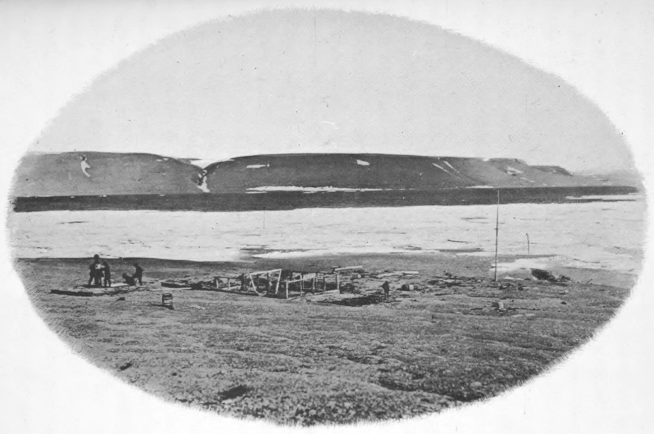
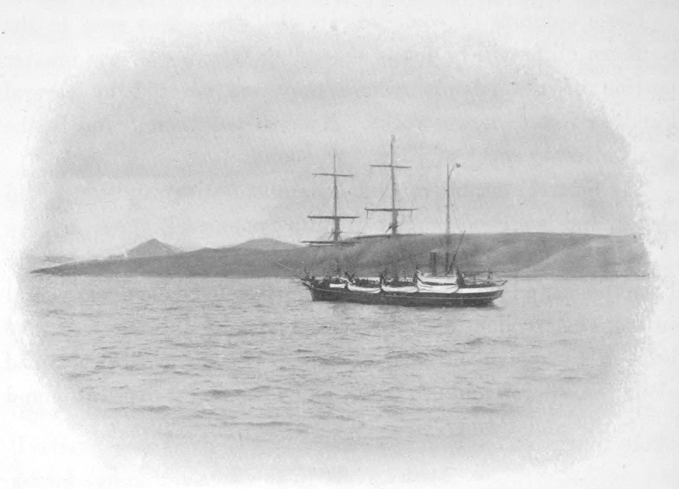
At Beechey Island.
Before entering upon a short statement of the work of the
search parties, the work and fate of Franklin’s expedition may
be traced. His instructions were to enter Lancaster sound, and,
when in the vicinity of Cape Walker, to penetrate to the southward
and westward in a course as direct as possible to Bering
strait. A quick passage appears to have been made through
Lancaster sound to Wellington channel, up which the ships
sailed to the seventy-seventh parallel, and then down again on
the west side of Cornwallis island, returning eastward to winter
at Beechey island. Many traces of a winter residence were
found there, including sites of workshops, forge and observatory.
Over 700 empty meat cans, all labelled ‘Goldner’s
Patent,’ were found piled in regular mounds. A large quantity
of similar tins supplied to the navy had been found to be putrid,
and were condemned. This had probably happened to the tins
left at Beechey island, and helped to hasten the starvation of
the unfortunate crews two winters later. Three seamen died
during the first winter, and were buried on the island. The
next information concerning the fate of Franklin was obtained
from a brief record, found on King William island by
M’Clintock, in 1859. The record is as follows:
‘Lieutenant
Graham Gore and Mr. Charles F. des Vœux, mate, left the ships
on Monday, the 24th of May, 1847, with six men (to deposit
papers on King William’s island)’—‘H.M. ships Erebus and
Terror wintered in the ice in latitude 70° 5´ N., longitude
98° 23´ W. Having wintered in 1846-47 at Beechey island in
latitude 74° 43´ 28´´ N., longitude 91° 31´ 15´´ W. After having
ascended Wellington channel to latitude 77°, returned by
the west side of Cornwallis island, (Sir) John Franklin commanding
the expedition. All well.’
This was the original
record, and a most mournful addition was made to it, on the
25th of April, 1848, after another winter in the ice. Here is
the addition:
‘—(1)848. H.M. ships Terror and Erebus were
deserted on the 22nd April, 5 leagues NN. W. of this—(hav)ing
been beset since 12th Sept., 1846. The officers & crews
consisting of 105 souls under the command ——tain F R M.
Crozier landed here in lat. 69° 37´ 42´´, long. 98° 41´—paper
was found by Lt. Irving under the cairn supposed to have been
built by Sir James Ross in 1831, 4 miles to the northward,
where it had been deposited by the late Commander Gore in
June, 1847. Sir James Ross’ pillar has not, however, been
found, and the paper has been transferred to this position which
is that in which Sir J. Ross’ pillar was erected. Sir John
Franklin died on the 11th June, 1847, and the total loss by
deaths in the expedition has been to this date 9 officers & 15
men. F. R. M. Crozier, Captain & Senior Offr., and start on
to-morrow 26th, for Back’s Fish river. James Fitzjames, Captain
H.M.S. Erebus.’
The rest of the sad story may be shortly
told: the distance to the mouth of the Fish river, from the spot
where the ships were abandoned, is about 250 miles. They
started from the ships dragging heavy boats on sleds. M’Clintock
found one of the boats on the west side of King William
island with two skeletons inside it; and the Eskimos told him
that the men dropped down and died in the drag ropes. The
Eskimos living at the mouth of Fish river said that about forty
white men reached the mouth of the river, and dragged a boat
as far as Montreal island in the estuary, where the natives
found it and broke it up. The last of the survivors died shortly
after the arrival of the summer birds. It is exceedingly doubtful,
if their strength had lasted, whether they could have
travelled over the thousand miles of barrens separating the
month of the river from the nearest trading post on Great Slave
lake, but at least a trial would have been made.
It is impossible to give in this report more than a mention of
the numerous searching expeditions, and a brief summary of the
geographical work accomplished by them.
1847-50—Sir John Richardson and Dr. Rae, overland, and
along the coast in boats from the mouth of the Mackenzie to
that of the Coppermine.
1848-50—Captain Thomas Moore, of H.M.S. Plover, and
Captain Henry Kellett, of H.M.S. Herald, and Robert Shedden,
in yacht Nancy Dawson, to Bering sea.
1848-49—Captain Sir James Clark Ross, of H.M.S. Enterprise,
and Captain E. J. Bird, of H.M.S. Investigator, to
Lancaster sound.
1849-50—James Saunders, Master of H.M.S. North Star,
to Wolstenholme sound and Ponds inlet.
1849—Dr. R. A. Goodsir, in the Advice, whaler, to Baffin
bay.
1849—Lieutenant W. J. S. Pullen, of H.M.S. Herald, boat
voyage from Bering strait to the Mackenzie.
1850-51—Lieutenant De Haven, of United States navy, in
the Advance; S. P. Griffin, of the United States navy, in the
Rescue; Captain Horatio Austin, of H.M.S. Resolute; Captain
Ommaney, of H.M.S. Assistance; William Penny, Master of
the Lady Franklin, under Admiralty orders; Alexander Stewart,
Master of the Sophia, under Admiralty orders; Rear-Admiral
Sir John Ross, in the Felix yacht, fitted at the expense
of the Hudson’s Bay Company, all to Lancaster sound.
1850—Captain C. C. Forsyth, R.N., commanding the Prince
Albert, belonging to Lady Franklin, to Regent inlet.
1850-54—Commander Robert M’Clure, of H.M.S. Investigator,
to Bering strait, Banks island and Lancaster sound. The
crew abandoned the ship, and by walking over the ice to
Beechey island made the northern northwest passage.
1850-55—Captain Richard Collison, C.B., of H.M.S. Enterprise,
to Bering strait, Banks island, and along the continental
channel to Cambridge bay, in Victoria island, near King William
island.
1851—Dr. John Rae, employed by the Admiralty, descended
the Coppermine, and traced Victoria island up to the parallel
of the north end of King William island, in Victoria strait.
1851-52—William Kennedy, Master of the Prince Albert,
belonging to Lady Franklin, to Regent inlet, Bellot strait and
Prince of Wales island.
1852—Captain Charles Frederick, of H.M.S. Amphitrite, to
Bering strait.
1852—Captain Edward A. Inglefield, in the Isabel, Lady
Franklin’s vessel, to Lancaster sound.
1852-55—Captain Rochfort Maguire, of H.M.S. Plover, to
Bering strait.
1852—Dr. R. M’Cormick, a boat excursion to Wellington
channel.
1852-54—Captain Sir Edward Belcher, C.B., of H.M.S.
Assistance, to Wellington channel.
1852-54—Captain Henry Kellett, C.B., of H.M.S. Resolute,
to Lancaster sound, Melville and Banks islands.
1852-54—Lieutenant Sherard Osborn, of H.M.S. Pioneer,
to Wellington channel.
1852-54—Captain Francis Leopold M’Clintock, of H.M.S.
Intrepid, to Lancaster sound and Prince Arthur island.
1852-54—Captain W. S. J. Pullen, of H.M.S. North Star,
to Beechey island.
1853—William H. Fawckner, Master, Breadalbane Transport,
Beechey island; crushed in the ice and foundered.
1853—Captain E. A. Inglefield, of H.M.S. Phœnix, and
Lieutenant Elliott, of the store ship Diligence, to Beechey
island.
1853—Dr. John Rae, under Admiralty orders, by sled to
Victoria island, and by boat voyage to Victoria strait.
1854—Captain E. A. Inglefield, of H.M.S. Phœnix, and
Commander Jenkins, of H.M.S. Talbot, to Beechey island.
1853-54—Dr. John Rae, boat expedition at the expense of
the Hudson’s Bay Company, to Repulse bay, and the east side of
King William island, bringing the first intelligence of the loss
of the Erebus and Terror, and of all their crews.
1853-55—Dr. Elisha Kent Kane, of the United States navy,
to Smith sound, Humboldt glacier and Grinnell land.
1855—Chief factor John Anderson, of the Hudson’s Bay
Company, canoe voyage down the Great Fish river to Montreal
island and Point Ogle, procuring further relics of the Erebus
and Terror.
1857-59—Captain F. L. M’Clintock, R.N., in the Fox, Lady
Franklin’s yacht, to Peel sound, Regent inlet, Bellot strait,
King William island and Montreal island, bringing precise intelligence
of the fate of the Erebus and Terror, and a short
record of their proceedings.
The above list is taken from ‘The Polar Regions,’ by Sir John
Richardson, and gives a very brief statement of the numerous
expeditions sent out in search of these ill-fated ships. Lengthy
records of most of these expeditions have been published, in
which the trials and hardships undergone are recorded in a
matter-of-fact way, without any attempt to excite sympathy, and
all honour should be paid to the memory of these men, many of
them volunteers, for the dangers they passed through in the
endeavour to rescue their fellowmen from terrible death by
starvation and cold in the inaccessible Arctics. Many lost their
own lives, while others drifted all winter in ships crushed
between great floes of arctic ice; others, again, travelled through
the northern winter, with its short days and intensely cold
nights, with only a fireless tent to shield them from death in the
howling storms which sweep the treeless regions; all did their
duty, and were faithful unto death.
A summary made shortly after the search ended, gives the
length of coast-line examined by the various searching
parties as follows: Sir James Ross, in 1849, explored 990 miles
of coast-line on the eastern side of Peel strait, in Lancaster
sound and in Regent inlet; Captain Austen traced 6,087
miles; Sir Edward Belcher and Captain Kellett, 9,432
miles; Sir Robert M’Clure, 2,350 miles; Captain Collison in
his voyage to Cambridge bay, and Dr. Rae on the same coasts,
1,030 miles, making in all, 21,500 miles of coast-line examined,
of which 5,780 miles were previously unknown. From this
summary the search of the American expeditions is omitted, as
well as those of Lady Franklin’s private expeditions, all of
which would add greatly to the total. Admiral Sir F. L.
M’Clintock has estimated the amount of money expended
by the British government on Arctic research, including the
outfitting of the Erebus and Terror, at £272,000, and on the
relief and search expeditions, £675,000; to this must be added
the money subscribed for private expeditions, amounting to
£35,000. The expeditions fitted out in the United States, mostly
by private subscriptions, cost over $250,000. Admiral M’Clintock
has further estimated that the number of miles traversed by
sled expeditions only, over ice and land, is about 43,000 miles.
His views as regards the economic and scientific value of the
Arctic explorations are as follows:
‘The benefits, doubtless, have
been very great; to whaling commerce it has opened up all to the
north and west of Davis strait and Hudson strait; also to the
north of Bering strait. The value of these fisheries alone
amounts to very many millions sterling into the pockets of English
and American traders. The scientific results are very
varied, and ample in almost every department, and peculiarly so
in magnetism, meteorology, the tides, geographical discoveries,
geology, botany and zoology, as shown by the general advance in
each branch. Upon naval impulse the influence has been truly
great; we could man an expedition with English naval officers.’
The exploration of Smith sound, the northern inlet to Baffin
bay, was commenced during the search for Franklin. In 1852,
Captain Inglefield left England, in the screw schooner Isabel,
with the intention of searching the deep northern inlets of Baffin
bay for traces of Franklin, and with the hope of reaching the
open Polar sea through Smith sound. Cape Farewell was
sighted on the 30th of July, and Cape York on the 21st of
August where a number of natives were seen in the vicinity.
At North Omenak native caches of meat and winter clothing
were found. On the 26th Cape Alexander, the farthest point
seen by Baffin, was passed, with an open sea to the northward.
On the 27th he reached latitude 78° 21´ N. one hundred and
forty miles beyond any previous navigator. He was forced by a
strong northerly gale and low temperature to retreat south, and
on his way entered Jones sound, which he explored to latitude
76° 11´ N. and longitude 84° 10´ W. He then entered Lancaster
sound, and visited Beechey island, after which, turning
homeward, he did not cross the Arctic circle until the 12th of
October.
In 1853, Dr. Elisha Kent Kane left New York in the brig
Advance, fitted out by Henry Grinnell and George Peabody, to
assist in the search for Franklin. The Advance entered Smith
sound on the 7th of August, and, after considerable danger and
trouble with ice, was moored in Rensselaer bay, from which she
never emerged. This wintering place was about 120 miles
north of any previously attained, being in latitude 78° 38´ and
longitude 70° 40´. Kane confined his explorations to the
Greenland side of the sound, and personally reached the southern
edge of the great Humboldt glacier, while Dr. Hayes,
surgeon to Kane, crossed Kane basin to the neighbourhood of
Cape Fraser, and William Morton, on the Greenland coast,
passed the Humboldt glacier and attained latitude 80° 35´ in
the vicinity of Cape Constitution, where from an elevation of
500 feet he saw open water in Kennedy channel extending to
the north as far as the eye could reach. In July, 1854, the ice
being still firm, Kane attempted to reach Beechey island, where
he knew that assistance could be obtained, but had to return
before reaching Cape Parry. At the end of August, Hayes and
eight others of the crew left the ship with the intention of reaching
the Danish settlement of Upernivik; they returned in
December, nearly dead of starvation and cold. The vessel was
formally abandoned on the 20th of May following, and on the
17th of June the boats were launched in open water near Cape
Alexander. Cape York was doubled on the 21st of July, and
the greatly reduced party reached Upernivik on the 6th of
August.
Dr. I. I. Hayes was the next to attempt to reach the supposed
open sea, by way of Smith sound. He left Boston, in the
schooner United States, on the 7th of July, 1860, and on the
12th of August reached Upernivik, where he added six natives
to his crew, bringing the total number up to twenty-one. Meeting
with a succession of northerly gales off Cape Alexander,
Hayes was obliged to winter south of Littleton island, in Foulke
fiord, in latitude 78° 18´ N. He first tried to explore the
Greenland coast, but was obliged to abandon the attempt on
account of the very rough ice. He then determined to cross
Kane basin and follow the west coast northward. Thirty-eight
days were occupied in crossing the seventy miles between the
ship and Cape Hawkes, after which he claims that six days’ travel
brought him to Cape Lieber, situated 170 miles beyond
Cape Hawkes; this is evidently a mistake. The ship was
released on the 10th of July, and the passage north being barred
by solid ice, Hayes crossed to the west side, and explored the
coast southward from Cape Sabine to Cape Isabella before
returning home. He was thus making good the claim of being
the first white man to tread the shores of Ellesmere island.
The next expedition to Smith sound was commanded by
Charles F. Hall, in the Polaris. Hall had previously spent two
years among the natives at Frobisher bay, the charting of which
is due to his efforts. On his return from this first trip he went,
in a whaler, to Roes Welcome, where he again lived with and
like the natives, in an attempt to recover the logs and other
records of the Erebus and Terror. He remained in the country
for four winters before he succeeded in reaching the southern
shores of King William island; he was unsuccessful in his
quest. Hall throughout his journeys kept a voluminous journal;
he took meteorological observations and observations for
his position. His instruments appear to have been not of the
best, and Hall seems to have had a great faith in the statements
of the natives, a faith that was often abused; in consequence,
much of his information from that source is quite unreliable.
To return to the Polaris expedition, fitted out by the United
States government, with the object of reaching the North Pole.
She left New York on the 29th of June, 1871, with a crew of
twenty-three, which was increased by ten Greenlanders. Melville
bay was crossed in thirty-four hours, and Smith sound
being free of ice, an almost uninterrupted passage was made
through Kane basin and Kennedy channel, so that the Polar
ocean was reached on the 31st of August in latitude 82° 11´,
to the northwest of Repulse harbour, where heavy, ancient,
arctic ice stopped further progress. Returning southward, the
Polaris went into winter quarters at Thank God harbour. Hall,
in October, reached Cape Brevoort, but died suddenly shortly
after his return, and this calamity put a stop to further efforts
to reach the Pole. Some explorations were made in the early
spring before it was decided to return home. On the way south
the ship was caught in the ice in Kennedy channel, on the 14th
of August, and remained fast in the pack until the 15th of
October, when a furious gale broke up the pack, in sight of
Northumberland island, after nearly destroying her in the process
of disruption. When this occurred several of the party
who were on the ice landing stores were left, and drifted southward
1,500 miles on the ice, being rescued by the Tigress, off
the coast of Labrador, on the 30th of April, 1872. The vessel
was beached at Life Boat cove, and the remainder of the crew
passed the winter in safety in a house built from the wreck.
During the winter two boats were built, in which the party
started to retreat on Upernivik, but were fortunately rescued
by a relief steamer in the vicinity of Cape York.
The British Government, in 1875, fitted out an expedition
with Captain George Nares in command of the Alert, and Captain
Stephenson, second in command, on the Discovery, while
the complete crews numbered one hundred and thirty officers
and men, with three native dog-drivers. The instructions, which
were to proceed up Smith sound, indicated that the primary
object of the expedition was to attain the highest northern latitude,
and, if possible, the North Pole, including explorations to
the adjacent coasts from winter quarters. The ships left England
on the 29th of May, and Cape York was reached on the
25th of July, after very little trouble with the ice. Here the
first of a series of caches of provisions was established, to provide
for the safety of the crews in case they were obliged to
abandon the ships and retreat southward over the ice. These
caches were not used, and being left for future explorations
were the means of preserving life in the survivors of Greely’s
party some years later.
From Cape York the passage northward was a constant
struggle with immense floes of heavy ice, so that it was the
25th of August before the Discovery anchored for the winter in
Discovery harbour. The Alert pushed on, and reached Floeberg
beach, in latitude 82° 25´ N., and longitude 61° 30´ W.,
where further progress was barred by the heavy ancient ice of
the Polar sea, to which Nares has given the name paleocrystic,
to distinguish it from the ice of more southern waters, which is
formed annually. Here the Alert was moored for the winter,
exposed to the crushing action and movement of these solid floes,
in a latitude far north of that before attained by any ship.
Depots of provisions were established during the autumn by
sledging parties for use in the following spring. On the 3rd of
April seven sleds, manned by fifty-three men and officers, left
the Alert for northern explorations. One party, under Commander
Markham, was to push northward over the frozen
ocean; the other, under Lieutenant Aldrich, to explore the
north coast of Grinnell land. Markham, after great toil and
hardships, hauling heavy sledges and boats over exceedingly
rough ice, and with five of his eighteen men helpless from the
effects of scurvy, succeeded in reaching a point on the ice in
latitude 83° 20´ 26´´, the farthest north to that date. The
health of the men became worse on the return journey, and if
Lieutenant Parr had not, by a forced march of twenty-four
hours, reached the ship for assistance, all would probably have
been lost; as it was, one died and eleven others had to be
dragged to the ship.
Lieutenant Aldrich surveyed two hundred and twenty miles
of new coast, reaching, on the 18th of May, Point Albert, in
82° 16´, and 85° 33´ W. His party, also attacked by scurvy,
would not have reached the ship without assistance.
Exploring parties were, at the same time, in the field from
the Discovery. Lieutenant Archer explored Franklin sound
and reached the head of Archer fiord. Lieutenant Beaumont
left the ship with two sleds, and, after first visiting the Alert,
crossed Robeson channel to Repulse harbour, on the coast of
Greenland. He succeeded in reaching with one man, the
eastern side of Sherard Osborne fiord, in 82° 20´ N. and 50°
45´ W., on the 20th of May. The return was made under distressing
circumstances; only Beaumont and one man were free
from scurvy when Repulse harbour was reached. The ice in
Robeson channel was too rotten to cross with his crew of invalids,
and but for the timely arrival of a relief party all would
have perished. Two men died, and only with great difficulty
did the remainder reach the ship. Owing to the scurvy, Captain
Nares wisely determined to return home. The disease had
attacked almost every man on the ships outside the officers, but
it is a mystery why it should have played such ravages on an
expedition fitted out and provisioned with all possible precautions
against the disease; the only explanation given is that the
men were over-worked, slept in damp clothes, and were regularly
served with a liberal ration of spirits. The Alert left
Floeberg beach on the 31st of July, and on the 9th of September
both vessels safely reached the open sea, and recrossed the Arctic
circle on the 4th of October.
In 1881 the United States government determined to establish
a meteorological station in connection with the
international polar stations in the region of Smith sound.
Congress voted an appropriation of $25,000 for this expedition,
a sum ridiculously small, as only $6,000 remained after paying
for the transport of the party to their destination. The expedition
was under the command of Lieutenant A. W. Greely, and
was composed of officers and men from the United States army,
none of whom had had previous experience in Arctic work. The
party, numbering twenty-six, sailed from St. John’s, Newfoundland,
in the steam sealer Proteus, on the 4th of July,
1881. At Upernivik two Eskimo dog-drivers were added to
their number. Little trouble was experienced from the ice until
the ship reached Discovery bay, where the station was to be
located, and after a short delay the party was landed on the
11th of August. Two men found to be physically unfit were
sent home. A house was soon erected, and the observation work
carried on regularly during the time that the expedition remained
there. In the spring of 1882 several sled journeys were
made, the most important being that of Lieutenant Lockwood,
who crossed Kennedy channel, and passing northeastward along
the coast of Greenland pushed beyond the farthest point reached
by Lieutenant Beaumont, and succeeded in reaching latitude
83° 23´ N., the highest attained at that time. The Neptune
attempted to relieve them during the summer of 1882, but
found Smith sound blocked with ice. The second autumn and
spring were spent in making explorations, chiefly in Ellesmere
island. Lockwood attempted to pass his previous record, but
was prevented by the loose ice and the rugged mountains along
the northern coast. As no relief ship arrived and parts of the
supplies were running short, a retreat was decided upon, and
the party started south in a steam launch and two boats, on the
11th of August. Great trouble was experienced in the heavy
ice, and they were obliged to abandon their boats on the 10th of
September, after having been beset by the ice for two weeks.
Land was reached at Cape Sabine on the 29th of September,
where a poor shelter of stones and canvas was erected, in which
the party passed the winter. Their provisions comprised the
remainder of the food taken with them, and a small quantity
landed from the Proteus after that vessel sank from an ice nip
while trying to reach Greely a few weeks earlier in the season.
The bulk of their provisions was obtained from the caches left
by Nares in 1875. Exposure to the weather had nearly ruined
everything left in the caches, but their contents, even in this
shape, were of great assistance to these famished men; without
them all would have succumbed; as it was, only seven survived
the hardships and starvation, when the rescue steamer arrived
on the 22nd of June, 1883.
The next Arctic work was the crossing of the Greenland ice-cap,
in 1893, by Nansen, who landed on the eastern side, and
with a few companions succeeded in passing over the immense
fields of ice and snow, coming out on the coast of the western
side to the southward of Disko.
Lieutenant R. E. Peary, United States navy, spent eight
winters in the regions about Smith sound. During these
years none of the ships engaged to take supplies to him were
able to penetrate more than the southern portion of Smith
sound, and consequently Peary had to haul all his provisions
and outfit over the very rough ice in dog-sleds two hundred
miles before he arrived at the original starting point of Beaumont
and Lockwood. This was a handicap of the severest description,
and Peary deserves the greatest credit for the manful
way in which he overcame it, and succeeded in not only crossing
the ice-cap of the northern part of Greenland, but also in
tracing its northern outline far to the eastward, and so establishing
the certainty of the island character of that supposed
peninsula.
The last of the expeditions to the Smith sound region was
that headed by Captain Sverdrup, in the famous Fram. This
expedition started with the intention of exploring the northern
part of Greenland, but found Smith sound blocked with ice,
and the Fram was obliged to pass the winter of 1898-99 at Cape
Sabine, where Greely’s party passed their last winter. In the
spring, parties from the ship explored Hayes sound, and crossed
Ellesmere island to its west coast. In 1899 Smith sound continued
closed, and Sverdrup returned south with the intention
of exploring Jones sound. Taking the Fram up that channel,
he went into the second winter quarters on its north side, in a
small fiord on the south coast of Ellesmere island. During the
following spring two long sled journeys were made to the north
and west, occupying seventy-six and ninety days respectively.
The Fram broke out of winter quarters on the 9th of August,
1901, and proceeding westward was beset off the north coast of
Grinnell peninsula until the middle of September, when she
was again released, and reached winter quarters in Belcher
channel at the western end of Jones sound. In the spring of
1902 two long journeys were again undertaken by Sverdrup
and Isacksen, involving important discoveries. The Fram could
not be released, and a fourth winter had to be faced. Sverdrup
made his longest and most important journey in the spring of
1902, while his companions were making minor trips. On the
6th of August the Fram was released, and returned to Norway,
after having completed the last great and important work that
remained to be done in the Arctics, thus finishing the work
begun three centuries ago. The principal achievements were the
mapping of Jones sound and the western side of Ellesmere
island, the discovery of a large island lying on the west side of
Ellesmere island, and two other large islands in latitude 79°,
extending westward to longitude 106° W., which is that of the
eastern side of Melville island, while North Cornwall and Findlay
islands were seen to the south. To the westward and northward
no signs of land were seen, and the ancient Arctic ice was
found pressing on the coasts of these new northern islands, so
that the line of drift pressure can now be traced from Bering
sea to the east coast of Greenland.
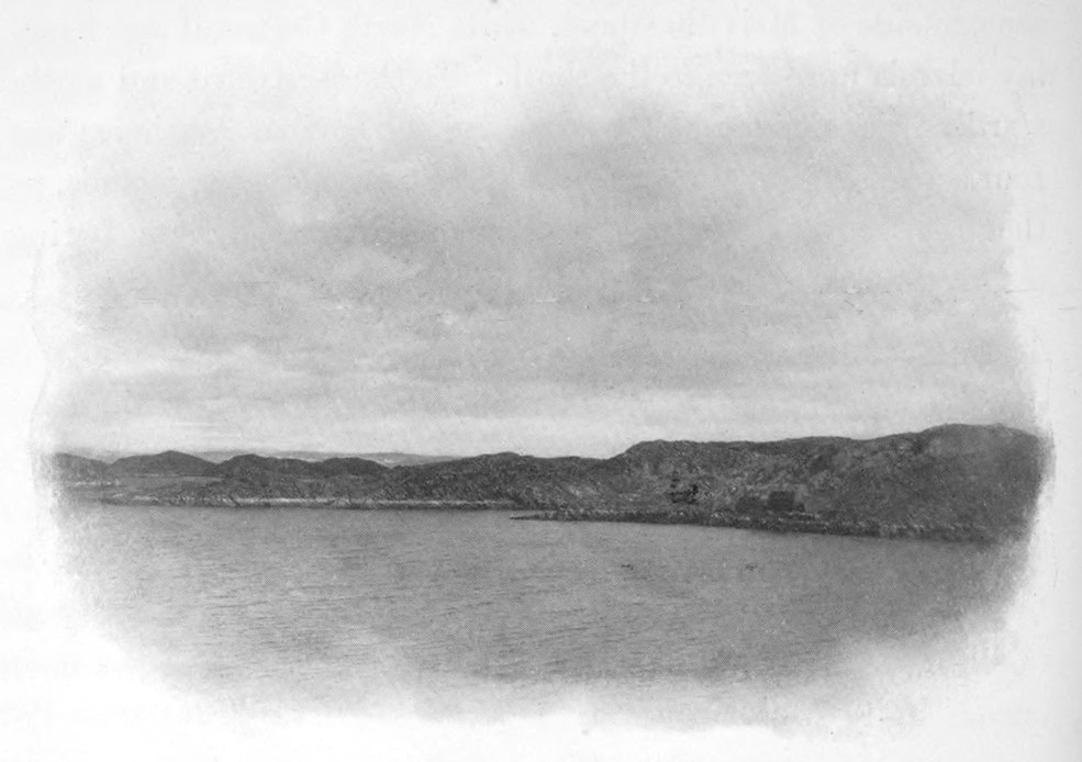
Frenchman Cove, Cyrus Field Bay.
Little is known of the interior of even the more southerly of
the Arctic islands. Up to the present time exploration has been
largely confined to their coasts, with only a few isolated lines
run across their interiors. In this way, however, sufficient
knowledge has been obtained to give a general idea of the geography,
which will probably be greatly modified when future
explorations have given more information.
Thanks to the work done by the numerous search parties for
the unfortunate Franklin and his companions, the coast lines
of many of even the most northern islands have been thoroughly
explored. The work left undone by these parties has since been
practically finished by the British expedition of 1875, and by
the work of Greely, Peary and Sverdrup.
The physical features of the coasts visited by the Neptune
have been described in detail in the narrative of the voyage, and
need not be repeated here. All other information concerning
the geography of these northern lands has been obtained from
the printed records of earlier Arctic travellers, and is here used
to give some general idea of the extent and physical condition
of these islands.
The islands of the Arctic archipelago extend from the north
side of Hudson bay and Hudson strait, in 62° N. latitude to
83° N. latitude, a distance of 1,500 miles. Their greatest
extension westward is along the 73rd parallel, from the west
side of Baffin bay to 125° W. longitude, a distance of 500 miles.
The islands have, for convenience, been divided into four
natural groups, as follows:—
Group I.—The islands situated in the northern parts of
Hudson bay and Hudson strait. These include the great island
of Southampton, together with the smaller islands of Coats,
Mansfield, Nottingham, Salisbury, Charles, Akpatok, Resolution
and many other small ones still unnamed.
Group II.—Includes the islands lying between Hudson bay
and Hudson strait, on the south, and Lancaster sound on the
north, the western boundary of the group being Prince Regent
inlet. The largest of all the islands, Baffin, belongs to this
group. The only other island of considerable size is Bylot,
while the remainder are small and fringe these two large
islands.
Group III.—This contains the islands lying west of Prince
Regent inlet and south of Lancaster sound, and its western continuation,
Barrow strait. These islands are almost inaccessible,
as they lie to the west and south of the ice-covered waters of
Lancaster sound, the only channel by which they may be
reached from the eastward; while the western islands of the
group can only be reached by passing through the Arctic ocean
from Bering strait, a long distance to the eastward of them.
They are comprised of Banks, Victoria, Prince of Wales, North
Somerset and King William islands.
Group IV.—The islands north of Lancaster sound and Barrow
strait. Those include the great islands of Ellesmere and
North Devon, whose eastern sides front on Baffin bay and Smith
sound; the Parry islands—Cornwallis, Bathurst, Byam Martin,
Melville, Eglinton and Prince Patrick—all on the north side of
Barrow strait; the Sverdrup islands—Axel Heiberg, Ellef
Ringnes, Amund Ringnes, King Christian and North Cornwall—situated
to the west of Ellesmere and to the north of the
Parry islands.
The following is a list of the islands of the archipelago, having
an area greater than 500 square miles:—
| | Area |
| | square miles. |
| Group I.— | Southampton | 19,100 |
| Group II.— | Baffin | 211,000 |
| Bylot. | 5,100 |
| Group III.— | Banks | 26,400 |
| Victoria | 74,400 |
| Prince of Wales | 14,000 |
| North Somerset | 9,000 |
| King William | 6,200 |
| Group IV.— | Ellesmere | 76,600 |
| North Devon | 21,900 |
| Bathurst | 7,000 |
| Cornwallis | 2,700 |
| Eglinton | 700 |
| Prince Patrick | 7,100 |
| Melville | 16,200 |
| Axel Heiberg | 13,200 |
| Ellef Ringnes | 4,800 |
| Amund Ringnes | 2,200 |
| King Christian | 2,600 |
| North Cornwall | 600 |
| | ———— |
| Total area | 520,800 |
The configuration and the physical features of the islands
depend upon the character of the rocks that form them; in
consequence, a brief description of the geology of these northern
regions is here given.
Granites, gneisses and other crystalline rocks, very similar to
those forming the Archæan system of more southern regions,
occupy the eastern shores of the great islands fronting on Baffin
bay and Davis strait, from Smith sound to Hudson strait. On
Ellesmere island these rocks form a wide band down the east side
from the neighbourhood of Cape Sabine to Jones sound, where
the western boundary is upwards of fifty miles from the mouth
of the sound. They occupy the eastern part of North Devon,
reaching, on its south side, some seventy miles up Lancaster
sound. The whole of Bylot island and that part of northern
Baffin island to the eastward of Admiralty inlet is formed of
these rocks. The great island of Baffin has upwards of three-quarters
of its area underlain by Archæan granites and other
crystalline rocks, while the eastern side of Southampton belongs
to that formation which is also found at Salisbury, Nottingham
and Charles islands of Group I.
To the westward of this wide rim of Archæan rocks is a great
basin which has been filled with deposits of limestone, sandstone
and other bedded rocks belonging to the Palæozoic or middle
formations of the earth’s crust. These rocks extend upward
from the Silurian to the Carboniferous.
The lower rocks, consisting largely of limestones, are the most
widely distributed. They extend southward and westward far
beyond the limits included in this report. The rocks newer
than these Silurian limestones are not found south of Lancaster
sound and Barrow strait, except on the northern part of Banks
island at the extreme west of the archipelago. These rocks of
Devonian and Carboniferous age occupy the Parry islands and
the western and northern parts of Ellesmere, and in many
places contain good deposits of coal.
A yet newer series of rocks belonging to the Mesozoic are
found along the western edge of Ellesmere and on the Sverdrup
islands. Isolated patches of later Tertiary age probably also
occur along the northern and eastern coasts of Baffin island, and
are of importance in that they are often associated with deposits
of lignite coal. Small areas of this age have been found in the
Parry islands and on the western part of Banks island.
On these northern islands the country underlain by the crystalline
Archæan rocks is very similar in physical character to
like areas of more southern regions. Where these rocks occur,
the coast is usually greatly broken by irregularly shaped bays
and headlands. The shores are often fringed with rocky
islands, and the adjacent sea-bottom is liable to be very uneven.
The land, as a rule, rises rapidly from the coast into an uneven
plateau or tableland, whose general level is broken by ridges of
rounded hills which seldom rise more than a few hundred feet
above the general level. The elevation of the tableland varies
from a few hundred feet to an extreme height of nearly five
thousand feet.
In the northern parts the surface of this Archæan tableland
is usually covered with a thick ice-cap, through which only the
loftier hills protrude. The valleys leading down to the coast
from the ice-cap are filled with large glaciers which project into
the bays, where they discharge numerous icebergs. As the ice-cap
becomes thinner in the more southern parts the glaciers
become less active, and generally terminate without reaching
the sea, and consequently no icebergs are formed from
them.
The country, formed of the limestones and other Palæozoic
rocks, differs in its physical character from that already described.
On the northern islands, where these rocks attain a
considerable thickness, the land rises in abrupt cliffs directly
from the sea. The summits of these cliffs vary in elevation
from 1,000 to 3,000 feet, while the country behind is a tableland
rising in steps inland, the front of each step being a cliff
usually of much less thickness than the initial one by which the
land rises from the sea. In the more northern islands the higher
portions of these tablelands support ice-caps generally much
thinner than those covering the adjoining Archæan tablelands.
The coasts composed of these flat-bedded limestones are deeply
indented by narrow bays or fiords in the valleys of the more important
streams; each small stream and rill flowing off the land
has left its sculptured mark upon the cliffs, so that the whole
resembles, on a great scale, the banks of a stream cut into a
deep deposit of clay. This minute sculpturing of the rocks
points to their having been elevated above the sea for a very
long period, during which time the streams were actively at
work cutting their valleys down to the sea-level.
These high abrupt cliffs are characteristic of the islands
on both sides of Lancaster sound and to the northward
of it.
The limestone islands of Hudson bay and that portion of
southwest Baffin underlain by these rocks are very low and
flat, with shallow water extending several miles from their
shores.
Those northern islands, wholly or in part formed of the
Mesozoic rocks, are characterized by low shores and no great
elevation inland. At Ponds inlet, where an area of Tertiary
deposits occurs, the country overlying it forms a wide plain
deeply cut into by the streams that drain it.