PREFACE
This Manual on the Origin and Development of Washington is published for
the use of students, particularly in high schools, desiring to make a study of the
National Capital a part of their course in civics.
The 25 chapters composing the book are of such interest and importance that
an hour a week may profitably be devoted to each, but the chapters on public
buildings and monuments require each two or three periods for effective presentation.
In this manner the Manual may serve as a textbook for a year’s work; it
will also be found helpful by the general reader interested in Washington.
The Manual deals historically with the founding and development of the
National Capital. Beginning with the twentieth century we find a new impetus
given to the development of the city by the McMillan Park Commission of 1901.
Its work has been carried forward by the Commission of Fine Arts and the
National Capital Park and Planning Commission, in cooperation with the Government
of the District of Columbia, including the Zoning Commission; also, of
course, in cooperation with the President of the United States, officials of the
Government, and the Congress of the United States, which by virtue of the
Federal Constitution exercises “exclusive legislation in all cases whatsoever” over
the District of Columbia.
It should be kept in mind that in the study of the National Capital we are
studying the seat of government of the greatest nation in the world, a city that
was laid on a broad, firm foundation, and although neglected for decades during
the last century, the twentieth century has seen Washington transformed into a
city in keeping with the dignity, power, and wealth of this great Nation.
The Plan of Washington is at the basis of city planning in the United States.
The organization of the National Conference on City Planning in 1907 was inspired
by the work of the McMillan Park Commission of 1901. Many of the
leading artists of the country—architects, sculptors, painters, and landscape
architects—have served in the work of beautifying the city. Washington is a
city that is ever growing and it is destined to be the most beautiful city in the
world.
The writer wishes to express his grateful appreciation to Senator Carl Hayden
for having introduced the legislation to print this volume.
H. Paul Caemmerer.
THIS PUBLICATION MAY BE PURCHASED FROM THE
SUPERINTENDENT OF DOCUMENTS, U. S. GOVERNMENT PRINTING OFFICE
WASHINGTON, D. C. AT $2.00 A COPY (BUCKRAM)
Chapter I THE FEDERAL CITY STORY OF THE MOVEMENT WHICH ESTABLISHED THE SEAT OF GOVERNMENT NEAR THE POTOMAC
The problem of establishing a permanent seat of government for the United
States was most perplexing. The Continental Congress was obliged for its own
protection to travel from place to place to conduct its sessions. By the treaty of
Paris, in 1783, the independence of the Colonies had been recognized, but they
were then united simply as a confederation, and there was lacking Federal authority
through which the needs of the Government could be asserted and provided for.
This was felt keenly in the matter of obtaining the necessary revenue to maintain
the Government, for the Continental Congress did not have the power of taxation
and had to depend upon the good will of the Colonies.
The demands upon the Continental Congress were many. The War of Independence
had impoverished the Colonies. There were the debts of war incurred
by the Continental Congress and also the debts of the Colonies themselves—in
all, $20,000,000, a huge sum in those days, and a factor which, as we shall see,
figured in the location of the Federal City south of the Mason and Dixon line.
Then, too, there was an army of soldiers being discharged, with no funds at hand
to pay them for their services.
Prior to the establishment of the Federal City on the banks of the Potomac,
the Continental Congress met in eight different cities and towns, viz:
Philadelphia, September 5, 1774, to December 12, 1776.
Baltimore, December 20, 1776, to February 27, 1777.
Philadelphia, March 4 to September 18, 1777.
Lancaster, Pa., September 27, 1777.
York, Pa., September 30, 1777, to June 27, 1778.
Philadelphia, July 2, 1778, to June 21, 1783.
Princeton, N. J., June 26, 1783, to November 4, 1783.
Annapolis, Md., November 26, 1783, to June 3, 1784.
Trenton, N. J., November, 1784, to December 24, 1784.
New York City, January 11, 1785, to March 4, 1789.
From March 2, 1781, the Continental Congress was also called by some the
Congress of the Confederation. The first Congress under the Constitution met
on March 4, 1789, and adjourned September 29, 1789. On December 6, 1790,
the third session of the First Congress began in Philadelphia, which was the
temporary seat of government until November, 1800.
The Continental Congress was seriously inconvenienced by this moving from
place to place. They could not take with them their records and files, were
required to seek protection, and there was lack of adequate accommodations in
some of the towns where they met. In Princeton the sessions were held in the
college building, Nassau Hall, where the average attendance was only 22 Members.
The suggestion had been made in November, 1779, by some Members that
the Congress purchase a few square miles near Princeton village, whereon to
erect public offices and buildings for a permanent home for Congress.
The two leading factors that entered into the question of establishment of a
seat of government of the United States were jurisdiction and geographical location.
It was deemed very important to give to the National Capital a central
location along the Atlantic coast. Debates on this question continued until 1790.
On January 29, 1783, the trustees of the corporation of Kingston, N. Y., took
the first recorded action by sending a memorial to the New York State Legislature
that “their estate be erected into a separate district for the Honorable Congress
of the United States.” It was proposed to grant to Congress 1 square mile within
the limits of the town of Kingston, and the New York Legislature consented to
this by the adoption of a resolution on March 14, 1783. Upon the suggestion of
Alexander Hamilton and William Floyd this area was, in September, increased
to 2 square miles.
On May 12, 1783, the corporation of Annapolis adopted a resolution calling
upon the Maryland Legislature to allow the establishment of the seat of government
at Annapolis, because of its central location along the Atlantic coast. The
Continental Congress took note of this on June 4, 1783. New Jersey, on June
19, 1783, offered a site anywhere in the State. On June 28, 1783, the Legislature
of Virginia offered to Congress the town of Williamsburg and agreed to present
the capitol, the palace, and all the public buildings, together with 300 acres of
land adjoining the city, and a sum of money not to exceed £100,000. This money
was to be expended in erecting 13 hotels for the Delegates to Congress. Also
the town would cede a district contiguous to it not exceeding 5 miles square.
The legislature also offered to cede a like district on the banks of the Potomac
and to assure a sum not exceeding £100,000 for the erection of hotels, and would
also purchase 100 acres of land for the erection of public buildings. Virginia
offered to cede land along the banks of the Potomac if Maryland would unite
and offer a similar tract on the opposite bank of the river; but should Congress
build on the Maryland side only the sum of £40,000 would be appropriated and
the State would be expected to supply the deficiency.
The offers of New York and Maryland, as recorded in the proceedings of
Congress of June 4, 1783, having emphasized the importance of the subject to
establish a permanent seat of government, we are told in the annals of Madison
that a day in October was named when the subject would be considered. However,
during that very month a mutiny of dissatisfied soldiers took place. A band
of soldiers started from Lancaster, Pa., on June 17, 1783, for Philadelphia, to
demand from the Continental Congress the money then due. Congress appointed
a committee to appeal to the executive council of the State of Pennsylvania, in
session in the same building, for protection against the threatened attack by the
soldiers, but the council refused, saying that the militia would doubtless not be
willing to take up arms “before their resentment should be provoked by some
actual outrages.” The soldiers, about 300 in number, proceeded to the state-house—Independence
Hall—where Congress and the executive council were in
session, surrounded that building, but attempted no violence. Occasionally some
soldier would use offensive language and point his musket at the windows of the
Halls of Congress, but at night the soldiers departed. Congress thereupon
adjourned hastily to meet in Princeton eight days later. General Washington
ordered a court-martial, in which two of the mutineers were sentenced to death
and four to receive corporal punishment; but the convicted men were all pardoned
by Congress. General Washington regarded the mutineers as “recruits and soldiers
of a day who have not borne the heat and burden of war, and who can have in
reality very few hardships to complain of.” The legislators were invited to return
to Philadelphia, but the offer was refused, for the reason that the armed soldiers
had grossly insulted Congress and it seemed useless to apply to the executive
council for protection. This led to the appointment of a committee, of which
James Madison was chairman, on the subject of a permanent seat of government.
They submitted a report on September 18, 1783.
The committee reported on two questions: First, the extent of the district
necessary; second, the power to be exercised by Congress in that district. As
to the first question, it was reported that a district should not be less than 3 miles
or more than 6 miles square; and second, that Congress ought to have exclusive
jurisdiction. The report was referred to a committee as a whole, but there is no
record that further action was taken.
When the question of a permanent seat of government was again taken up
by the Continental Congress, it was the question of location that predominated;
the question of exclusive jurisdiction had generally been conceded. The discussion
was finally limited to two sites: First, a location on the banks of the Potomac
at least as far south as Georgetown, which was favored particularly by the southern
Members of Congress as being the geographical center of the United States;
second, a site on the Delaware River near the falls above Trenton, which Pennsylvania,
Delaware, and the other States near by favored.
On October 7, 1783, Congress decided that a permanent seat of government
should be established on the Delaware River site, and a committee was appointed
to visit the location. Ten days later, on October 17, 1783, Congress decided that
there should be a National Capital at the lower falls of the Potomac, at Georgetown.
This is the first mention of the present location of the National Capital.
Pending the completion of necessary buildings, it was decided that the Continental
Congress would meet at Trenton and Annapolis. But the idea of having two
capitals was ridiculed by such men as Francis Hopkinson, who suggested that
there be one Federal town to be placed on a platform supported by wheels and
two places of residence. As to a statue of George Washington that had been
authorized by Congress at the same session, he suggested it be placed on wheels
and be taken to wherever Congress met. The idea of having two capitals was
abandoned by legislation adopted at Trenton on December 23, 1784.
Two years elapsed before Congress took up the subject again. In the meantime
a movement began, under the leadership of George Washington, to promote
trade relations between Virginia and Maryland, and to establish trade with the
western frontier by the construction of a canal along the banks of the Potomac.
Washington became president of the Potomac Company at the time of its organization
in 1785, and was its guiding spirit for a period of four years, until 1789,
when he resigned from that office to take up his duties as first President of the
United States.
A trade convention, held at Annapolis, led to the call for the Constitutional
Convention, February 21, 1787, to meet in Philadelphia in May of that year.
On May 29,1787, the draft of the Constitution submitted by Charles Pinckney,
of South Carolina, first mentions the section relating to the Federal district in the
form in which it became a part of the Constitution of the United States (Art. I,
sec. 8, par. 17), under the powers of Congress—
To exercise exclusive legislation in all cases whatsoever over such district (not exceeding 10
miles square) as may, by cession of particular States, and the acceptance of Congress, become the
seat of the Government of the United States, and to exercise like authority over all places purchased
by the consent of the legislature of the State in which the same shall be, for the erection of forts,
magazines, arsenals, dockyards, and other needful buildings.
There was objection on the part of some lest such a provision in the Federal
Constitution would create a government that would become despotic and tyrannical
and result in unjust discrimination in matters of trade and commerce between
the merchants within and outside of the district. But on the other hand the advocates
for a Federal City over which Congress would have exclusive jurisdiction
called attention to the great importance for the Government to have a permanent
residence for the Congress and the executive departments, with their files and
records properly housed, and cited the mutiny in Philadelphia as an illustration
as to what might happen to the Government again in the absence of such Federal
authority. On September 17, 1787, the Constitution of the United States was
adopted and soon after was ratified by a majority of the States.
When the time came for the inauguration of President Washington, on April
30, 1789, in New York City, the Continental Congress was completing its sessions,
having resided in that city from 1785, a period of four years. Of a population
of 25,000 in 1776, the city in 1789 had a population of only half that number, due
to the continuous occupation by the British Army for a period of seven years.
During the evacuation the city was partly ruined. But a new era began; trade
increased, and the city began to grow rapidly. The Continental Congress was
meeting in the old city hall, which had been used by the British as a prison and
was in a dilapidated condition. As Washington was to be inaugurated in New
York, the people thought that city would become the seat of government, so the city
hall was torn down and a new building erected on the site where the subtreasury
building on Wall Street now stands.
It was recognized that the presence of that national body was a valuable asset
to the city. Pierre Charles L’Enfant, who late in 1791 made the plan for the Federal
City, was selected to design and construct the building. When the Members
of Congress assembled for the First Congress under the Federal Constitution,
they met in a building constructed with classical arches and columns, painted
ceilings and marble pavements, and furnished in a magnificent manner with crimson
damask canopies and hangings. The exterior was marked by a portico with arcaded
front and highly decorated pediments. But the building had been erected too
rapidly to endure permanently; poor work had been done, and in a few years it
was demolished.
The building was called Federal Hall. Here on April 30, 1789, a date never
to be forgotten in the annals of American history, George Washington was inaugurated
first President of the United States of America. The spot where General
Washington stood is now marked, as nearly as possible, by the J. Q. A. Ward
statue of the first President, which stands in front of the subtreasury building on
Wall Street. Just inside the door, preserved under glass, is a brownstone slab
on which is inscribed:
STANDING ON THIS STONE, IN THE BALCONY OF FEDERAL HALL, APRIL 30, 1789,
GEORGE WASHINGTON TOOK THE OATH AS THE FIRST PRESIDENT OF THE UNITED STATES OF AMERICA
During the sessions of this Congress long and careful consideration was given
to the question of a permanent seat of government. It had its place with great
problems before Congress at the time—as the revenue bill, which would provide
money for the newly established Republic, creating executive departments, plans
for the funding of the public debt and the assumption of State debts, disposal of
public lands, and establishing a judicial system. At the opening of the last month
of the session the question of a residence for the United States Government was
brought up. Protest was made against consideration of the subject in view of the
other important questions pending before Congress that seemed to some to be
more urgent, also because, they said, Congress was properly housed, and that
other towns like Trenton, Germantown, Carlisle, Lancaster, York, and Reading
would be glad to have Congress locate with them.
However, the southern Members, led by Richard Bland Lee and James
Madison, Representatives from Virginia, argued for present consideration of the
subject. They favored the Potomac River site at least as far south as Georgetown,
which they asserted would be geographically the center of the United
States. They claimed for their section of the country in this matter the consideration
of justice and equality. They argued that there was no question more
important—one in which the people of the country were so deeply interested
and one on the settlement of which the peace and the permanent existence of
the country so much depended. The question of location finally resolved itself
into the consideration of two localities: First, a site near the falls of the Susquehanna,
at Wrights Ferry, Pa., 35 miles from tidewater; and second, a site at
Georgetown, Md., near the lower falls of the Potomac.
Great stress was laid on the importance of a site that would place the seat of
government on a navigable stream far enough from the sea to be safe from hostile
attacks. But it was also deemed very important to select a place that would offer
means of communication with the western country, which was a subject, as we
have seen, in which George Washington was interested for years previously.
This argument was effective, as it offered advantages for carrying on trade with
the vast western country for which the Potomac Company had been established.
The subject received the consideration of both the House and Senate in September,
1789, but its final consideration was deferred until the following year, in
June, 1790. The southern Members, especially the Representatives of Maryland
and Virginia, were particularly active, believing a decision on the Potomac River
site was in their favor. In December, 1789, Virginia had made a grant of
$120,000, and a sum equal to two-thirds of that amount had been voted by the
Legislature of the State of Maryland for the construction of buildings, in addition
to their willingness to cede the portion of the 10-mile square in their respective
States along the Potomac River desired for the Federal district.
The final disposition of this question was settled by compromise.
At the time Hamilton had the funding bill before Congress, and lacked one
vote in the Senate and five in the House to secure its passage, he came to an agreement
with Robert Morris, financier of the Revolution, on the question of location
of the seat of government. Also, Thomas Jefferson tells us, in his “Anas,” of a
dinner given by him at which the residence question was discussed and an
agreement reached whereby the southern Members agreed to the funding bill
in consideration of the designation of Philadelphia as the seat of government for
a 10-year period and thereafter along the Potomac.
Chapter II ESTABLISHMENT OF THE TEMPORARY AND PERMANENT SEATS OF GOVERNMENT — HISTORY OF EARLY SETTLEMENTS ALONG THE POTOMAC
The House of Representatives had proposed a bill naming Baltimore as the
site, but the Senate struck out this provision, and on July 1, 1790, voted 14 to 12
for the Potomac River site between the mouth of the Eastern Branch and the
Connogochegue, a tributary of the Potomac, 20 miles south of the Pennsylvania
State line. The bill which became a law July 16, 1790, reads as follows:
An Act for establishing the temporary and permanent seat of the
Government of the United States
Section 1. Be it enacted by the Senate and House of Representatives of the United States of
America in Congress assembled, That a district of territory, not exceeding ten miles square, to be
located as hereafter directed on the river Potomac, at some place between the mouths of the Eastern
Branch and Connogochegue, be, and the same is hereby, accepted for the permanent seat of the government
of the United States. Provided nevertheless, That the operation of the laws of the state
within such district shall not be affected by this acceptance, until the time fixed for the removal of
the government thereto, and until Congress shall otherwise by law provide.
Sec. 2. And be it further
enacted, That the President of the United States be authorized to
appoint, and by supplying vacancies happening from refusals to act or other causes, to keep in
appointment as long as may be necessary, three commissioners, who, or any two of whom, shall,
under the direction of the President, survey, and by proper metes and bounds define and limit a
district of territory, under the limitations above mentioned; and the district so defined, limited and
located, shall be deemed the district accepted by this act, for the permanent seat of the government
of the United States.
Sec. 3. And be it further
enacted, That the said commissioners, or any two of them, shall have
power to purchase or accept such quantity of land on the eastern side of the said river, within the
said district, as the President shall deem proper for the use of the United States, and according to
such plans as the President shall approve, the said commissioners, or any two of them, shall, prior
to the first Monday in December, in the year one thousand eight hundred, provide suitable buildings
for the accommodation of Congress, and of the President, and for the public offices of the government
of the United States.
Sec. 4. And be it further
enacted, That for defraying the expense of such purchases and buildings,
the President of the United States be authorized and requested to accept grants of money.
Sec. 5. And be it further
enacted, That prior to the first Monday in December next, all offices
attached to the seat of the government of the United States, shall be removed to, and until the said
first Monday in December, in the year one thousand eight hundred, shall remain at the city of
Philadelphia, in the state of Pennsylvania, at which place the session of Congress next ensuing the
present shall be held.
Sec. 6. And be it further
enacted, That on the said first Monday in December, in the year one
thousand eight hundred, the seat of the government of the United States, shall, by virtue of this
act, be transferred to the district and place aforesaid. And all offices attached to the said seat of
government, shall accordingly be removed thereto by their respective holders, and shall, after the
said day, cease to be exercised elsewhere; and that the necessary expense of such removal shall be
defrayed out of the duties on imposts and tonnage, of which a sufficient sum is hereby appropriated.
It is said that the loftiest minds of Congress were swayed by the judgment of
George Washington in this matter. They agreed with him that America should
establish the precedent of a nation locating and founding a city for its permanent
capital by legislative enactment. Furthermore, they wished to honor that first
President and great general and counselor, who had made their independence possible,
by conferring upon him the power to select for this Federal City the locality
he had in prophetic vision chosen as a suitable site for the capital of the Republic.
By this act Congress expressed its faith in President Washington by permitting
him to establish the capital anywhere along the Potomac between the Eastern
Branch and the Connogochegue, a distance of 80 miles. The boundaries of no
other city were ever fixed with more certainty. It is recorded that George
Washington was harassed by the importunities of anxious residents and aggressive
speculators, but that he never wavered in his purpose to select for the site
of the Federal City that which in former years he had chosen for the Federal
home upon the establishment of the Republic.
By proclamation of January 24, 1791, President Washington directed that a
preliminary survey be made, or, in the President’s words, “lines of experiment”
were to be run. This survey was substantially in accord with the lines subsequently
adopted, moving the southern boundary point of the “ten miles square”
farther south so as to include a convenient part of the Eastern Branch and also
the town of Alexandria.
The act of July 16, 1790, was thereupon amended accordingly by act approved
March 3, 1791, as follows:
Be it enacted by the Senate and House of Representatives of the United States of America in Congress
assembled, That so much of the act, entitled “An act for establishing the temporary and
permanent seat of the government of the United States,” as requires that the whole of the district
of territory, not exceeding ten miles square, to be located on the river Potomac, for the permanent
seat of the government of the United States, shall be located above the mouth of the Eastern Branch
be and is hereby repealed, and that it shall be lawful for the President to make any part of the territory
below the said limit, and above the mouth of Hunting Creek, a part of the said district, so as to
include a convenient part of the Eastern Branch, and of the lands lying on the lower side thereof
and also the town of Alexandria, and the territory so to be included, shall form a part of the district
not exceeding ten miles square, for the permanent seat of the government of the United States, in
like manner and to all intents and purposes, as if the same had been within the purview of the above
recited act: Provided, That nothing herein contained, shall authorize the erection of public buildings
otherwise than on the Maryland side of the river Potomac, as required by the aforesaid act.
Thus within a period of nine months the limits of the Federal territory were
established. The corner stone was set with appropriate ceremonies at Jones Point,
Alexandria, Va., April 15, 1791. Not a cent was advanced by Congress for buildings
or grounds. In fact, the Treasury was empty, and without credit Congress
was unable to give financial assistance. Washington himself drew up the original
agreement by which the owners were to convey the land to the Government
which the Cincinnatus of the West bought from the landholders at £25 per acre.
Of George Washington, Daniel Webster said, at the ceremonies for enlarging
the Capitol to its present size, on July 4, 1851:
He heads a short procession over naked fields, he crosses yonder stream on a fallen tree, he
ascends to the top of this eminence, where original oaks of the forest stood as thick around as if the
spot had been devoted to Druidical worship, and here he performed the appointed duty of the day.
In earlier years Washington had noted the beauty of the broad eminence on
which the Capitol was destined to be reared, and had marked the breadth of the
picture and the strong colors of the landscape with its environing wall of wooded
heights, which rolled back against the sky as if to inclose a beautiful area fit for
the supreme deliberation of the governmental affairs of a great Republic in the
New World, founded on the truths “that all men are created equal; that they are
endowed by their Creator with certain inalienable rights; that among these are
life, liberty, and the pursuit of happiness.” These truths, as set forth in the
unanimous declaration of the thirteen original colonies of the United States of
America adopted July 4, 1776, formed the basis of the Magna Charta of American
liberty, known to us as the Declaration of Independence.
Somewhat more than a century and a half before (in 1608) Capt. John Smith
and his men sailed up the Patawomeck and visited the site of the future Federal
City. The famous adventurer only partially explored the country, the principal
item in the log book of his voyage being that they found the river full of luscious
fish and its shores lined with ferocious savages. They met with opposition from
Chief Powhatan and were subject to continual attacks. Nevertheless the exploration
was continued up the Potomac as far as Little Falls, about 5 miles above
the city of Washington. At the time of this exploration there were about 30
tribes, principal and subordinate, living along the shores of Chesapeake Bay in
Maryland and Virginia. The chief of these principal tribes were the Powhatans,
the Manahoacs, and the Monacans. The Powhatans lived along the shores of the
Chesapeake as far north as the Patuxent in Maryland, and the other two lived in
the territory contiguous to the York and Potomac Rivers. The Manahoacs and
the Monacans, who were continuously at war with the Powhatans in Virginia,
inhabited the present District of Columbia. The Manahoacs were almost exterminated
by war, pestilence, and spirituous liquors, and about 1712 migrated to
the west, joining the Iroquois and the Tuscaroras. Among the smaller tribes
were the Nacotchants and the Toags, who were friendly to Capt. John Smith.
The Toags lived near Mount Vernon, as is shown by the name Tauxement on
Capt. John Smith’s map. The Moyaones lived directly opposite Mount Vernon,
in Maryland, at the mouth of the Piscataway. The Nacotchants lived just below
the Eastern Branch, within the District of Columbia.
There is a tradition of the early settlers of Maryland that the valley at the foot
of Capitol Hill, drained by Tiber Creek, was a popular fishing ground of the Indians,
and that they gathered not far from there, at Greenleaf’s Point, for their councils.
The Indians of Maryland and Virginia closely resembled each other. Those of
Maryland were descendants of the same race as the Powhatans and spoke dialects
of the great Algonquin language. Powhatan claimed jurisdiction over the Patuxent,
but it is doubtful whether he ever enforced the claim.
The Indians lived along the banks of the rivers in this part of the country, and
thus many Indian names, suggested by the suffixes “annock” and “any,” have
come down to us, as the Susquehanna, Rappahannock, Allegheny, and Chickahominy.
The name Chesapeake is said to have come from the Algonquin language,
and Potomac comes from the Indian name Patawomeck. The Powhatans were won
over to the English by the marriage of Pocahontas to John Rolfe, but the marriage,
though notable in history, offered no advantages to the settlers. The original
inhabitants were finally driven out by the relentless Iroquois. Among the early
fighters against the Indians was Col. John Washington, who came to America
in 1657 and settled at Bridges Creek, Va., later called Wakefield. He led 1,000
men against the Susquehannas. The Maryland tribes were gradually consolidated
with the Piscataways, and about 1700 they moved to a new settlement on the
lower Susquehanna, near Bainbridge, Pa. Here, in 1765, they numbered about
150 persons and were under the jurisdiction of the Iroquois. Thereafter they
moved to the Ohio Valley and joined the Delawares.
To-day the name Anacostia, derived from the name of the small Indian tribe
of Nacotchants, reminds us of the occupation of the District of Columbia by
Indians. As has been said, they lived just below the Eastern Branch, in a suburb
of Washington known as Anacostia. The great Anacostia Park, in the immediate
vicinity, is named after them. They were a tribe of peaceful Indians, about 80 in
number, and were kind and well disposed to Capt. John Smith and his explorers.
The name of Anacostia was also given to an island near the shores of Virginia, at
Georgetown. Later it took the name Analostian and also Anacostian Island.
When George Mason, prominent delegate to the Virginia Legislature, purchased
it in 1777, it came to be known as Masons Island. Later it was called Analostan
Island. Stone implements and fragments of pottery and traces of Indian villages
have been found in these locations, which give evidence of habitations of the
Indians in the District of Columbia in those days. It was a region favored by the
Indians for its game of all kinds, as well as fish. The soil was rich and fertile and
crops were plentiful. Then, too, the climate was agreeable; that is, it did not have
the extreme cold of the North, nor did the inhabitants suffer from the continued
heat of a tropical sun. The latitude of Washington is 38° 52′ 37″ N. and the
longitude 76° 55′ 30.54″ W.
Weather reports of a hundred years ago give 97° for the average of maximum
in summer and 24° above zero for the winter. This mild climate has had its consequent
effect on the flora of the District of Columbia. A report of the Botanical
Society of Washington, made in 1825, gives us the names of 860 distinct species
and varieties of plants in the District of Columbia. To-day grow here the oak,
walnut, hickory, elm, maple, and other hardy trees; pine trees in all their
varieties, and magnolia, also the rhododendron, laurel, box bushes, privet hedges,
holly; and roses bloom in Washington almost the entire year. In spring the
beautiful Japanese cherry trees add charm to the city.
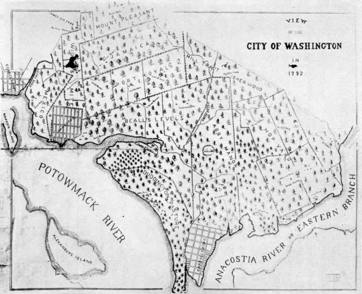
WASHINGTON, 1792
Chapter III DEVELOPMENT OF THE NATIONAL CAPITAL THE PLAN OF THE CITY — SITE OF THE FEDERAL CITY — TERMS OF ORIGINAL AGREEMENT — BOUNDARY STONES OF THE DISTRICT OF COLUMBIA — PRELIMINARY STUDIES
The first mention of the upper Potomac and adjacent regions to Indianhead,
about 35 miles south of Washington, is made by Capt. John Smith, who explored
this region from the Jamestown settlement in Virginia in 1608. In 1634 Henry
Fleet, who was taken captive by Indians, visited the falls of the Potomac. In 1635
a tract of land (400 acres) called Rome was laid out for Francis Pope, gentleman.
The Capitol is said to be on this land. In 1790 the region in which the city
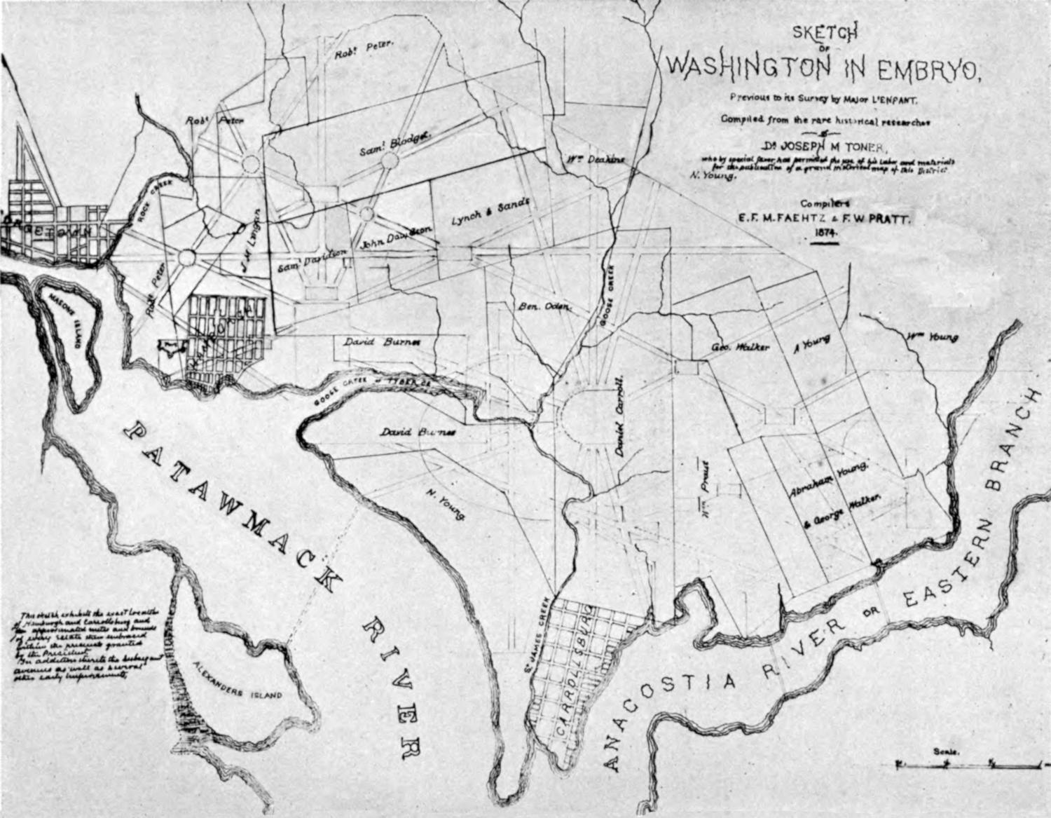
of Washington has been built was in the form of 17 large farm tracts, as is
shown on the following page. They were covered with woods and streams;
the arable portions were tilled and produced wheat, maize, and tobacco. Two
hamlets, Carrollsburg (where the War College now stands), and Hamburg
(about where the Naval Hospital is located), which was then southeast of the
thriving port of Georgetown, were within the limits of the early survey.
On April 30, 1783, 19 days after the proclamation of peace between the
American Colonies and England, the subject of a permanent capital for the General
Government of the States was brought up in Congress. The act of July 16, 1790,
heretofore cited, provided for the selection of a permanent site on the upper
Potomac River for the National Capital—
according to such plans as the President shall approve and prior to the first Monday in December,
1800, and suitable buildings for the accommodation of Congress, and of the President, and for
the public offices of the Government of the United States.
On January 22, 1791, President Washington appointed three commissioners—Daniel
Carroll and Thomas Johnson, of Maryland, and David Stuart, of Virginia.
By proclamation of January 24, 1791, President Washington directed that
the three commissioners appointed pursuant to the act approved July 16, 1790,
“proceed forthwith to run the said lines of experiment and, the same being run, to
survey and by proper metes and bounds to define and limit the part within the
same,” which were substantially in accord with the lines subsequently adopted,
moving the southern boundary point of the 10 miles square farther south, so as to
include a convenient part of the Eastern Branch and also the town of Alexandria.
When President Washington arrived in the future National Capital he
found the great task before him was to bring into harmony the rival interests of
the Eastern Branch, or Carrollsburg, and of Georgetown. The property holders
of Carrollsburg appeared to be anxious that the new public buildings be located
in their town. David Burnes, who owned much of the land that now lies
between the White House and the Capitol, was keen to have, on condition that
he give up part of his property, the public buildings located there. Thus from
the beginning of the history of the city there has been rivalry between various
sections of the city while the Government was planning for its development.
The controversy between the landholders led Thomas Jefferson to make a
rough outline plan for a city one-fourth less in size than that which George Washington
had in mind, to be built in the vicinity of Georgetown. This sketch
showed the Capitol building at the site of the town called Hamburg, about
where the Naval Hospital is now located; from there eastward public walks or
a Mall was planned, with the location of the President’s House at about the
present Nineteenth Street, south of Pennsylvania Avenue. Jefferson also proposed
a rectangular system of streets, in contrast with the open spaces and
radiating avenues planned by L’Enfant, who also reversed the position of the
Capitol by placing that to the east of the President’s House on Jenkin’s Hill.
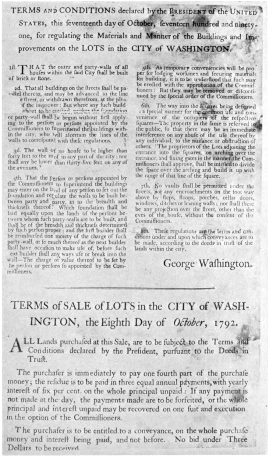
The terms of the sale of land to the Government were agreed to on March 30,
1791, under which the original owners agreed to convey to the United States
Government, free of cost, such portions of their farms as were needed for streets,
parks, and other public reservations; and to sell such land as was needed for
Government buildings and public improvements at £25 per acre (about $67).
The remaining land was to be laid out in building lots and apportioned equally
between the Federal Government and the original owners. Rufus R. Wilson, in
Washington, the Capital City, says:
In this way, without advancing a dollar and at a total cost of $36,000, the Government acquired
a tract of 600 acres in the heart of the city. The 10,136 building lots assigned to it ultimately
proved to be worth $850,000, and now represent a value of $70,000,000. Shrewd financier as he
was, it is doubtful if Washington ever made another so good a bargain as that with Burnes and
his neighbors.
The following is a copy of the agreement:
THE AGREEMENT OF PRESIDENT WASHINGTON WITH THE ORIGINAL PROPRIETORS
We, the subscribers, in consideration of the great benefits we expect to derive from having the
Federal City laid off upon our Lands, do hereby agree and bind ourselves, heirs, executors, and
administrators, to convey, in Trust, to the President of the United States, or Commissioners, or
such person or persons as he shall appoint, by good and sufficient deeds, in Fee simple, the whole
of our respective Lands which he may think proper to include within the lines of the Federal City,
for the purposes and on the conditions following:
The President shall have the sole power of directing the Federal City to be laid off in what manner
he pleases. He may retain any number of Squares he may think proper for public Improvements,
or other public Uses, and the lots only which shall be laid off shall be a joint property between
the Trustees on behalf of the public, and each present proprietor, and the same shall be fairly and
equally divided between the public and the Individuals, as soon as may be, after the City shall
be laid off.
For the streets the proprietors shall receive no compensation; but for the squares or Lands in
any form, which shall be taken for public buildings, or any kind of public improvements, or uses,
the proprietors, whose lands shall be so taken, shall receive at the rate of twenty-five pounds per
acre, to be paid by the public.
The whole wood on the Lands shall be the property of the proprietors.
But should any be desired by the president to be reserved or left standing, the same shall be
paid for by the public at a just and reasonable valuation, exclusive of the twenty-five pounds per
acre to be paid for the land, on which the same shall remain.
Each proprietor shall retain the full possession and use of his land, until the same shall be sold
and occupied by the purchasers of the Lots laid out thereupon, and in all cases where the public
arrangements as to streets, lotts, &c., will admit of it, each proprietor shall possess his buildings
and other improvements, and graveyards, paying to the public only one-half the present estimated
value of the Lands, on which the same shall be, or twelve pounds ten shillings per acre. But in
cases where the arrangements of the streets, lotts, squares, &c., will not admit of this, and it shall
become necessary to remove such buildings, Improvements, &c., the proprietors of the same shall
be paid the reasonable value thereof, by the public.
Nothing herein contained shall affect the Lotts which any of the parties to this Agreement may
hold in the Towns of Carrollsburgh or Hamburgh.
In witness whereof we have hereunto set our hands and Seals, this thirtieth day of March,
1791.
| |
Signed |
| Signed & sealed in presence of us—Mr. Thos. Beall,
making an exception of the Lands he sold Abraham Young not yet conveyed. |
- |
|
Robert Peter
(Seal) |
| David Burnes
(Seal) |
| Jas. M. Lingan
(Seal) |
| Uriah Forrest
(Seal) |
| |
| Witness to all the subscribers including William Young |
- |
|
Benj. Stoddert
(Seal) |
| Notley Young
(Seal) |
| |
William Bayly
| - |
|
Dan. Carroll of Dn.
(Seal)
|
William Robertson
| Overton Carr
(Seal)
|
| John Suter |
Thos. Beall of Geo.
(Seal) |
| |
| Samuel Davidson
witness to Abraham Young’s signing
| - |
|
Charles Beatty
(Seal) |
| Anthony Holmead
(Seal) |
| |
| Benj. Stoddert
witness to Edward Peirce’s signing. |
- |
|
Wm. Young
(Seal) |
| Edward Peirce
(Seal) |
| |
| Joseph E. Rowles for Jno. Waring. |
|
Abraham Young
(Seal) |
| |
| Wm. Deakins Junr. for Wm. Prout
& William King as attorney in fact. |
- |
|
James Peirce
(Seal) |
| William Prout
(Seal) |
| |
| |
Robert Peter, as
attorney in fact for Eliphas Douglass.
(Seal) |
| Benj. Stoddert for Jno. Waring
by written authority from Mr. Waring.
(Seal) |
| William King
(Seal) |
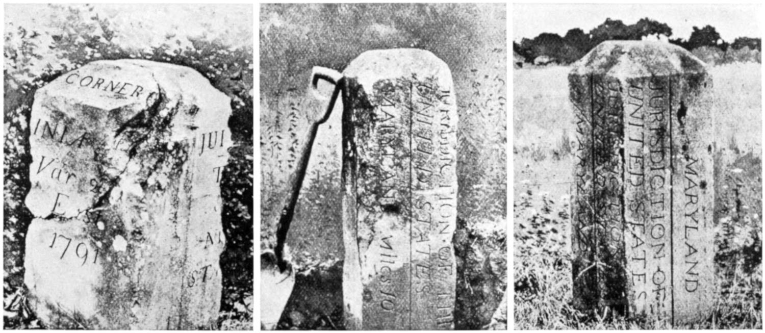
THREE OF THE BOUNDARY STONES
The land which was being considered for the city proper consisted of about
6,000 acres. In laying out the streets 3,606 acres were taken, and about 540 acres
were bought by the United States as sites for the public buildings and grounds.
The lots laid out numbered 20,272. Of these the United States took half and the
property owners were given back the remainder. The United States sold its share
of the lots and from the proceeds paid for the 540 acres on which it was to put the
public buildings.
The United States also took a fee-simple title to the streets and avenues.
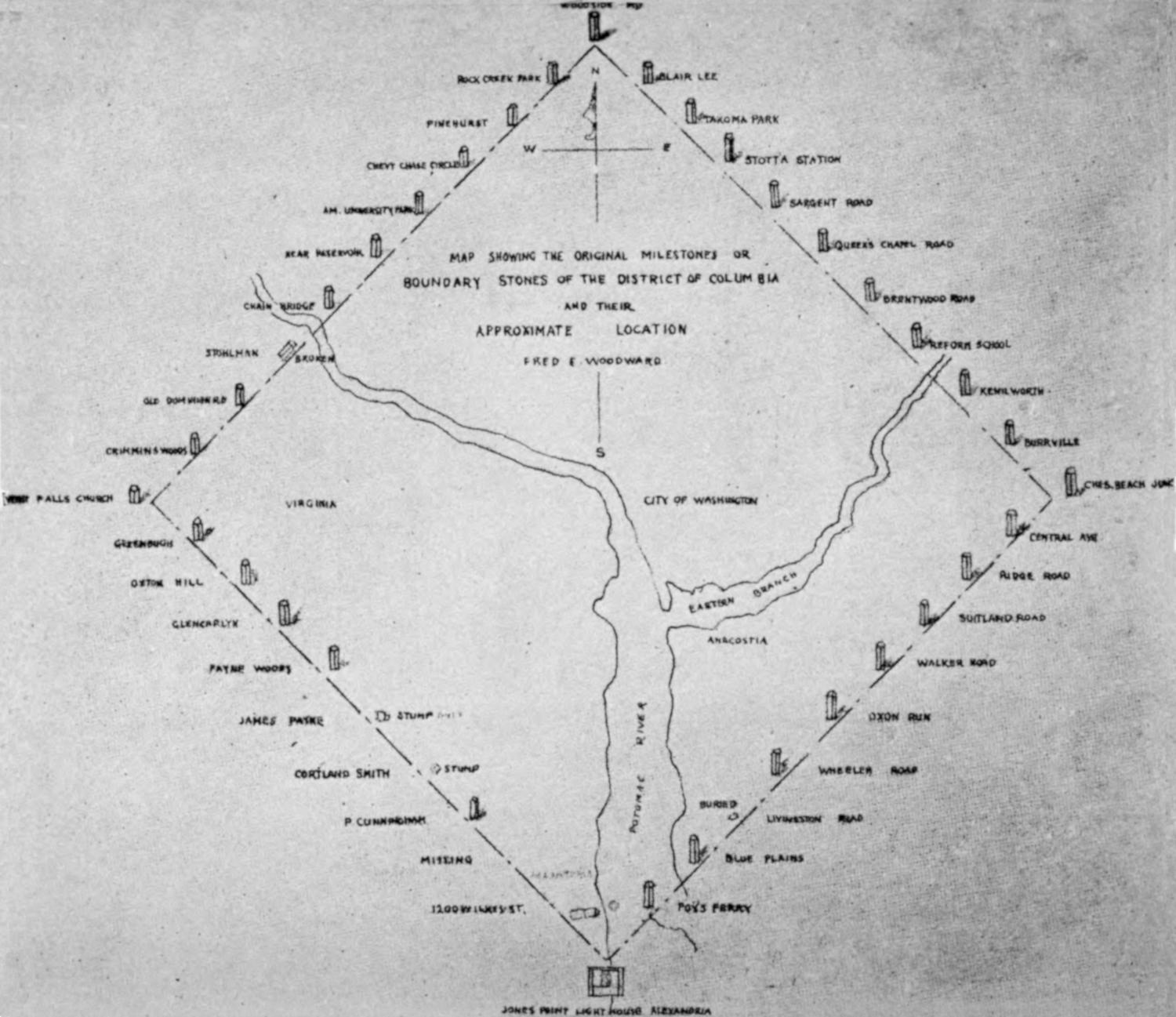
A survey of an outline of the District of Columbia was made by Andrew Ellicott.
From the initial point at Jones Point, on Hunting Creek, at the Potomac (just
south of Alexandria), a line was run due northwest 10 miles; thence (into Maryland)
due northeast 10 miles to a northern boundary point (now called Sixteenth
Street Heights); thence due southeast 10 miles; thence due southwest 10 miles, or
back to Jones Point.
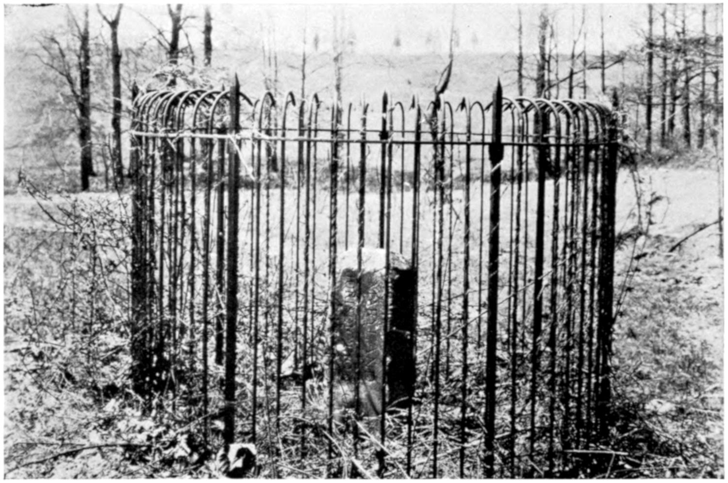
BOUNDARY STONE NEAR SIXTEENTH STREET, NORTHWEST
This survey was approved by Congress with the amendment that all public
buildings should be erected on the Maryland side of the Potomac River.
On March 29, 1791, President Washington arrived on a visit to the Potomac
and stayed at Suter’s Tavern in Georgetown. The next day, accompanied by
the three commissioners and Maj. Pierre Charles L’Enfant and Andrew Ellicott,
he rode over the ground. Washington met the owners of the land the same night,
and the general terms were then agreed upon and signed by the 19 “original
proprietors.” The area of 100 square miles embraced about 64 square miles of
Maryland soil (ceded previously in 1788) and about 36 square miles of Virginia
soil (ceded in 1789).
Thereupon the three city commissioners were ordered to have the boundary
lines permanently marked by monuments placed 1 mile apart. One of these
boundary stones can be seen to-day near the north corner of the District of
Columbia. Each stone was quite large, and this particular one is well preserved.
When the city of Washington was planned under the direct and minute supervision
of President Washington and Secretary of State Jefferson, the relations
that should exist between the Capitol and the President’s House were closely
studied. On August 7, 1791, L’Enfant sent a sketch to President Washington,
with a note, “the plan altered agreeable to your suggestion.” Indeed, the whole
city was planned with a view to the reciprocal relations that should be maintained
among public buildings. Vistas and axes; sites for monuments and
museums; parks and pleasure gardens; fountains and canals—in a word, all that
goes to make a city a magnificent and consistent work of art were regarded as
essential. Thus, aside from the pleasure and the positive benefits to health that
the people derive from public parks in a capital city like Washington, there is a
distinct use of public spaces as the indispensable means of giving dignity to
Government buildings and of making suitable connections between the great
departments.
The original plans were prepared after due study of great models. The
stately art of landscape architecture had been brought oversea by royal governors
and wealthy planters, and both Washington and Jefferson were familiar with the
practice of that art.
On September 8, 1791, it was decided by Thomas Jefferson, Secretary of State,
and James Madison, in conference with the Commissioners of the District of
Columbia—
to name the streets of the Federal City alphabetically one way and numerically the other from
the Capitol and that the name of the City and Territory shall be the City of Washington and
the Territory of Columbia.
The city had also been divided into four sections—namely, northeast, northwest,
southeast, southwest—with the Capitol as the center and North and
South Capitol Streets dividing the east and west sections and East Capitol
Street and the Mall the north and south sections.
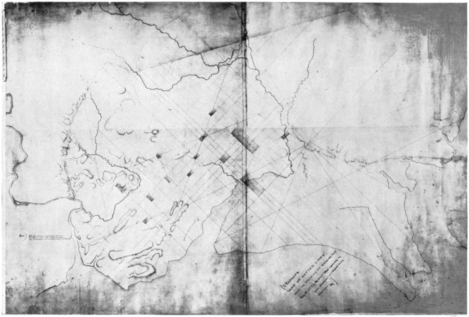
SKETCH OF THE L’ENFANT PLAN
Chapter IV MAJ. PIERRE CHARLES L’ENFANT
Maj. Pierre Charles L’Enfant was born in Paris August 2, 1754, the son of an
academician, who was “Painter in ordinary to the King in his Manufacture of the
Gobelins,” with a turn for landscape and especially for battles, as is shown by the
collections at Versailles and Tours. Trained as a French military engineer, young
L’Enfant at the age of 23 obtained a commission as a volunteer lieutenant in the
French colonial troops, serving at his own expense.
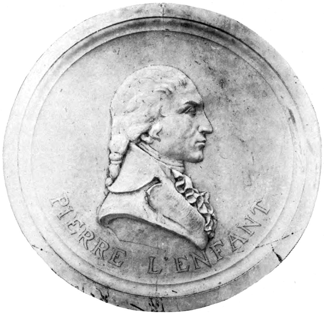
MAJ. PIERRE CHARLES L’ENFANT
L’Enfant preceded Lafayette to America by a month. Arriving in 1777, he
entered the Continental Army at his own expense. In February 1778 he was
made a captain of engineers and as such proved his valor in battles about Charleston,
where he was wounded and was included in the capitulation and exchanged.
He was made a major in 1783.
He was “artist extraordinary” to the Army, drawing likenesses (including
one of Washington at Valley Forge), decorating ballrooms, and building banquet
halls. Then by turn he became a drillmaster, like Von Steuben. When peace
was declared he made a brief visit to France to see his father and, incidentally,
to establish the Society of the Cincinnati in France and procure the gold eagles
he had designed as insignia of the organization. Then he returned to remodel
the New York City Hall for the reception of the first Congress of the United
States, a building of such beauty never before having been seen by the assembled
representatives of the people. L’Enfant was an artist, and this Washington
knew when he selected him to design the Federal City. He was imbued with
the artistic development of Paris, with its fine central composition from the
Tuileries to the Arch of Triumph, the beauty of the Champs Elysees, the Place
de la Concorde and adjacent great buildings as the Louvre; and with Versailles,
built by Louis XIV, with its fountains, terraces, gardens, and parks, which still
thrill thousands of visitors each year. He understood the art of city planning.
L’Enfant was long maturing in his mind the plan he so quickly put on paper.
In September, 1789, while yet the idea of creating a capital city was still in the air,
he wrote to President Washington asking to be employed to design “the Capital
of this vast Empire.” The nations of Europe wondered at the probable future of
the new Republic. Visualizing the future, L’Enfant wrote:
No nation ever before had the opportunity offered them of deliberately deciding upon the
spot where their capital city should be fixed, or of considering every necessary consideration in
the choice of situation; and although the means now within the power of the country are not
such as to pursue the design to any great extent, it will be obvious that the plan should be
drawn on such a scale as to leave room for that aggrandizement and embellishment which the
increase of the wealth of the Nation will permit it to pursue to any period, however remote.
Major L’Enfant, a man of position and education and an engineer of ability,
was also familiar with those great works of the master Le Nôtre, which are still
the admiration of the traveler and the constant pleasure of the French people.
Moreover, from his well-stocked library Jefferson sent to L’Enfant plans “on a
large and accurate scale” of Paris, Amsterdam, Frankfort, Carlsruhe, Strasburg,
Orleans, Turin, Milan, and other European cities, at the same time felicitating
himself that the President had “left the planning of the town in such good hands.”
Thereupon the name of L’Enfant became, and has since remained, inseparably
associated with the plan and development of the Nation’s Capital. He was gifted
but eccentric, a characteristic that got him into many and serious difficulties.
President Washington had high regard for him and wrote of him as follows:
Since my first knowledge of the gentleman’s abilities in the line of his profession, I have viewed
him not only as a scientific man, but one who added considerable taste to professional knowledge,
and that, for such employment as he is now engaged in—for projecting public works and carrying
them into effect—he was better qualified than anyone who had come within my knowledge in this
country, or indeed in any other, the probability of obtaining whom could be counted upon. I had
no doubt at the same time that this was the light in which he considered himself; and of course he
would be tenacious of his plans as to conceive they would be marred if they underwent any change
or alteration. * * * Should his services be lost, I know not how to replace them.
Chapter V THE L’ENFANT PLAN — THE ELLICOTT PLAN—THE L’ENFANT PLAN ENLARGED
The L’Enfant plan, as before stated, was prepared for the Federal City under
the direction of President Washington and Thomas Jefferson in 1791 by Maj.
Pierre Charles L’Enfant, and applied to the 10 miles square set apart as Federal
territory and called the District of Columbia. This was the first and most
comprehensive plan ever designed for any city. It was a masterpiece of civic
design. As originally drawn it extended only to Florida Avenue NW. and was
designed for a city of 800,000, the size of Paris at the time. It was submitted to
Congress by President Washington on December 13, 1791.
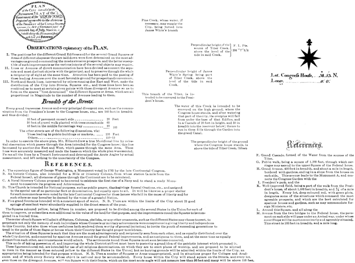
The original plan shows explanatory notes and references by Major L’Enfant,
among which he calls attention to the position of the main buildings and squares,
the leading avenues, and the plan of intersection of the streets and their width.
The avenues were to be 160 feet in width. No city designed merely for commercial
purposes would have avenues of such width; hence the whole plan indicates
that it was especially designed for the seat of government of the Nation.
There are two great focal points in the L’Enfant plan—the Capitol and the
White House—each with its intersecting avenues, that add beauty and charm to
the city and at the same time make distant parts of the city easy of access.
The methods and features of L’Enfant’s plan, which included the reports and
correspondence between L’Enfant and President Washington, in 1930 were given
intensive study by William T. Partridge, consulting architect of the National
Capital Park and Planning Commission. Mr. Partridge’s findings and his review
of the features of the plan, which are still possible of attainment, constitute a
notable contribution to the research in this field, and we quote at length:
A study of L’Enfant’s plan, as well as a careful reading of his descriptions, shows the effort
made to model his design to the existing topography. No mention can be found of Versailles or
London as an inspiration. He reiterates again and again in his letters that this plan of his was
“original” and “unique.” In a letter to Jefferson requesting some Old World city maps he deprecates
any copying and asks for this information only as a means for comparison or to aid in refining
and strengthening his judgment.
In order to investigate how far the existing conditions of the site for the Federal City dictated
the plan of present Washington, a topographical map of the terrain, as existing at that period, has
been carefully prepared from old maps and descriptions and an attempt made with an open mind
to follow L’Enfant’s procedure. Much was assumed, only to be corroborated by later study of
the original manuscripts and reports. All printed transcriptions of L’Enfant’s reports have
been altered by their editors in the effort to interpret L’Enfant’s strange English, a fact leading to
misinterpretation on the part of trained architectural commentators dependent solely on these
printed transcriptions.
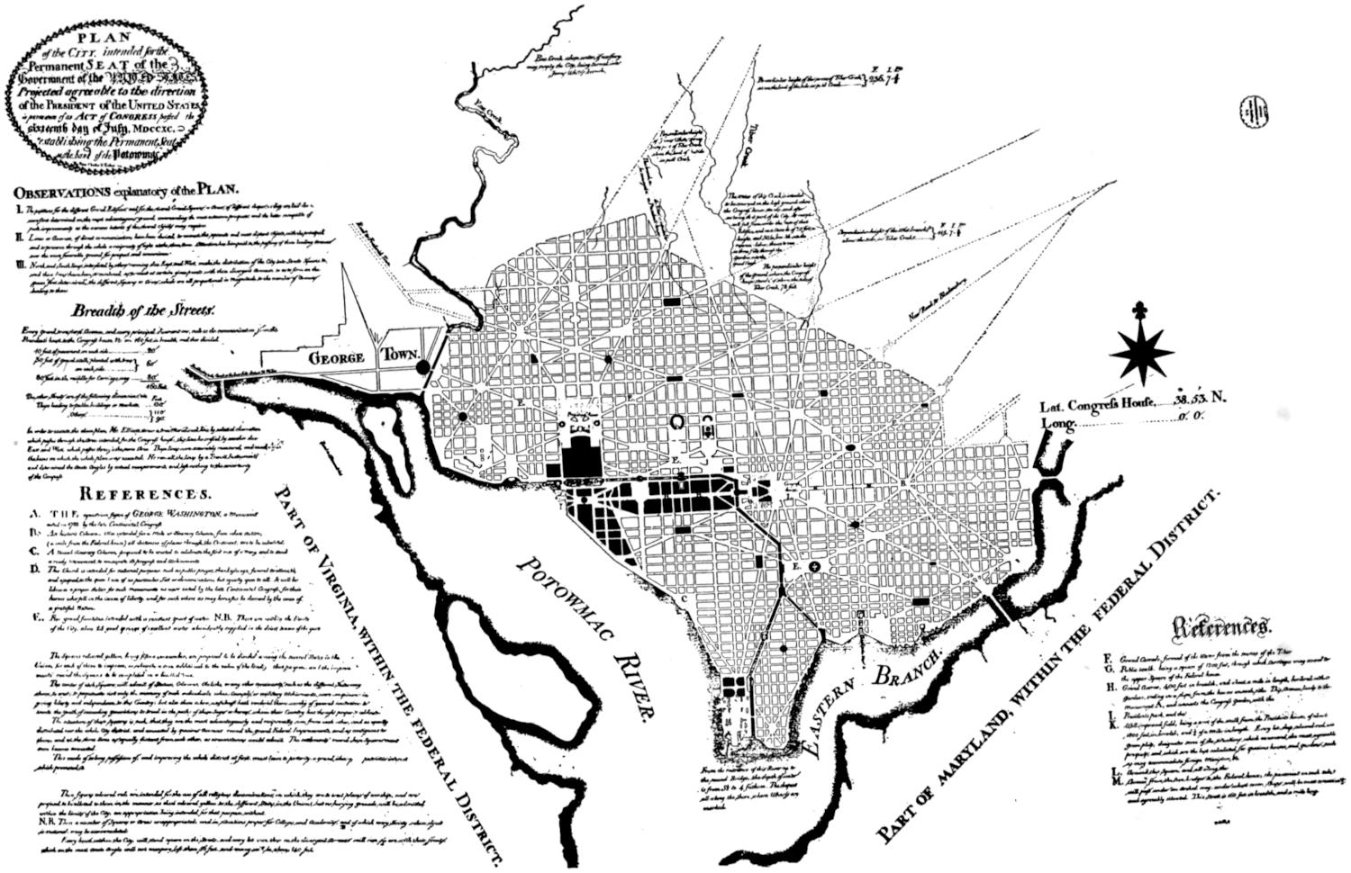
THE L’ENFANT PLAN
At the convention of the American Institute of Architects held in Washington in 1929, the
history and development of the National Capital was the principal topic of discussion. The
merits of the plan of L’Enfant were duly acknowledged by all, though emphasis was laid upon the
progress of those modern projects sponsored and carried through largely by the efforts of the
institute or its individual members. The work of the McMillan Commission and the admirable
recommendations of that trained and experienced body, that the “central area” be restored with
some resemblance to L’Enfant’s original plan were generally acknowledged. There was no comparison,
however, attempted between the proposed plan of L’Enfant and the much-altered modern
plan, nor was there discussion in detail of the “public walk” of the original design. The real merit
of the original L’Enfant plan was sensed only by one speaker at the convention mentioned,
Mr. Medary, when he spoke of the early structures maintaining their places as dominating
elements in the original design and confirmed the judgment of L’Enfant “in fitting the plan of the
proposed city to the topography of the site.”
There has come down to us only a single manuscript plan which students have accepted as the
original design and on which they have based all their comments. This drawing depicts only an
intermediate stage of the plan. The first plan was much altered by L’Enfant himself at the request
of President Washington, but by a careful study of internal evidence of the later drawing the
designer’s masterly original may be restored. Existing documents tell us that not only were
considerable changes made in the plan by order of President Washington, but alterations in the
layout were also made by L’Enfant’s successors, all of which disturbed considerably its skillful
symmetrical fitting to the irregular topography. If this submitted restoration proves correct, there
is no ground left for further accusation of his indebtedness to both Versailles and the London plan
for minor details. It is the writer’s conclusion that L’Enfant did exactly what he claimed—devised
an original plan, entirely unique. He arrived at his parti only after a careful study on the spot of the
best sites for the principal buildings, allocated in the order of their importance, and located with
consideration of both prominence and outlook. He tied these sites together by means of a rectangular
system of streets and again connected them by means of diagonal avenues. The principal
avenues followed closely the existing roads. Additional avenues were extended to the “outroads”
or city entrances and were laid out primarily for the purpose of shortening communication—an
engineering consideration. L’Enfant mentions that the diagonal avenues would afford a “reciprocity
of sight” and “a variety of pleasant ride and being combined to insure a rapide Intercourse
with all the part of the City to which they will serve as does the main vains in the animal body to
diffuse life through smaller vessels in quickening the active motion to the heart.”
The similarity of the angles of the two principal avenues (Pennsylvania east, from Eastern
Branch Ferry to the Capitol, and Maryland east, from the Bladensburg Road entrance to the
Capitol) which followed closely for some distance the existing roads, doubtless suggested the
radial pair-avenue idea. This was entirely accidental and the outgrowth of existing conditions.
The system of a rectangular-street plan with radial avenues is not only borne out by the mention
he makes himself in his descriptions but was followed by Ellicott in his redrafting of the plan for the
engraver.
Our artistic, hasty-tempered genius refused to give Ellicott any documents or any information.
Ellicott states in his letters on the subject that, although he was refused the original plan, he was
familiar with L’Enfant’s system and had many notes of the surveys he had made of the site himself,
so it is possible that the plan was recreated by Ellicott.
Space and time do not permit an excursion into the squabble over this engraved plan. Changes
were made in reduction to the proper size of the plate. These changes led to violent protests on
the part of L’Enfant, although in later years his memorial states that the changes were not so very
damaging. To an architectural mind the alterations in question destroyed the unity and symmetry
of the whole, and L’Enfant’s later softened protest can be explained by his desire for payment by
Congress. He could not afford at that time to imperil his chances.
In the attempt to find the method by means of which L’Enfant arrived at the system underlying
his plan for the city, we are handicapped at the very start by lack of sufficient data for
identification of the various plans mentioned in the old records. There was made in Washington,
as the work progressed, a large map with numbered squares. Many references are made to this
“large plan” in the old correspondence, but it must not be confused with the layout of the original
design under discussion. A letter from the commissioners states it was in L’Enfant’s hands some
time after his dismissal.
As far as we now know, there is but one original drawing in existence, which, after 100 years of
neglect and careless handling, is now sacredly preserved in the Library of Congress. The elaborateness
and care shown in the carefully lettered notes and profuse marginal references marks this a
presentation copy. This plan included “the alterations ordered by Washington and sent to
Philadelphia on August 19, 1791, for transmission to Congress.”
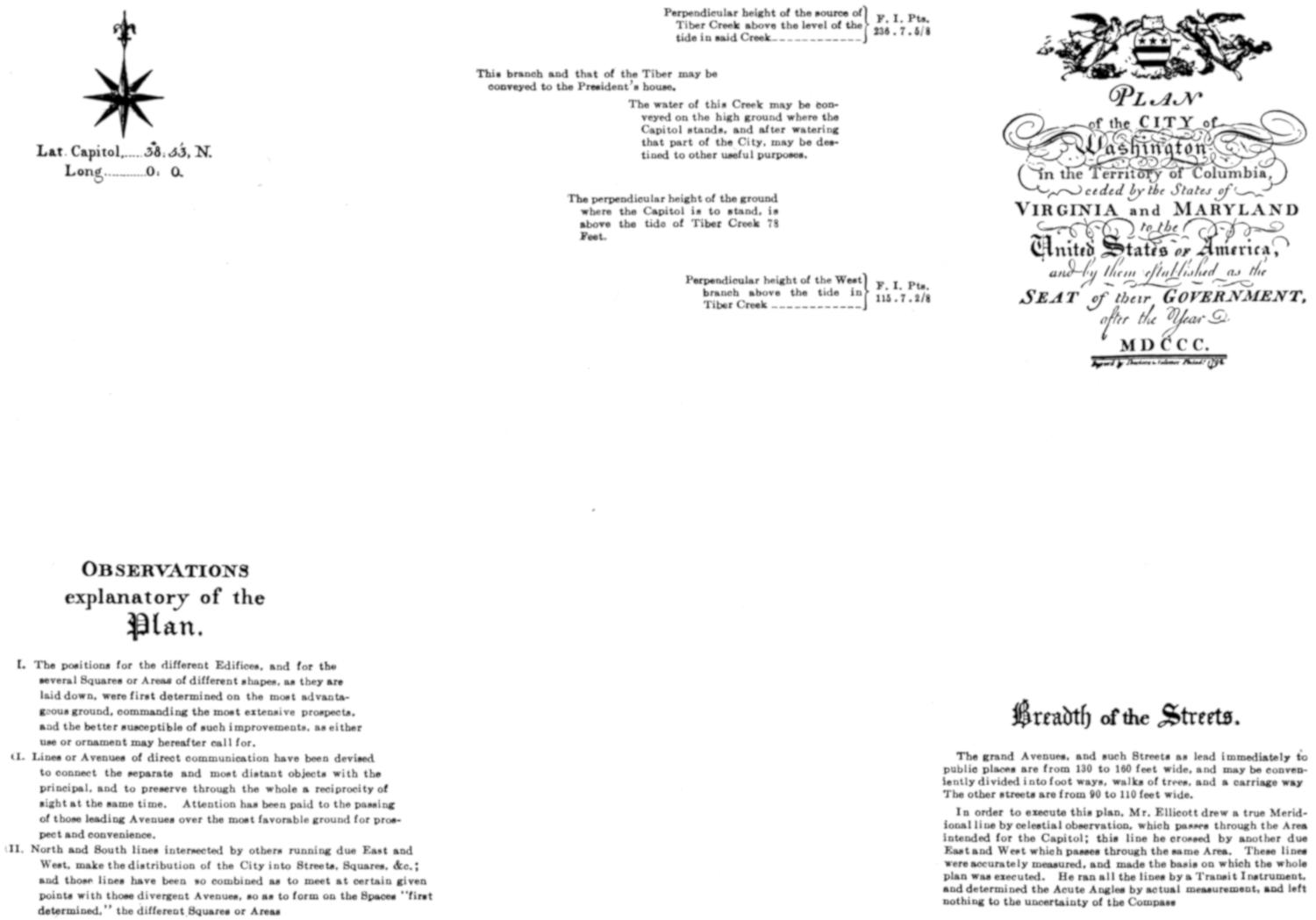
The executed plan of the Federal City as redrawn by Andrew Ellicott
departs but little from the modified L’Enfant plan. The changes are perhaps an
improvement on the layout as modified by President Washington.
Discussion recently has arisen in reference to the credit Ellicott should be given
for the executed plan of Washington. In 1802 a congressional committee found—
that the plan of the city was originally designed by Major L’Enfant, but that in many respects
it was rejected by the President, and a plan drawn up by Mr. Ellicott, purporting to have been
made from actual survey, was engraved and published by order of General Washington in the
year 1792.
The chief alteration shown in Ellicott’s engraved plan is the straightening of
what is now Massachusetts Avenue. The suppression of the eastern portion
leading to the upper bridgehead made it end at what is now known as Lincoln
Square, the drawbridge over Eastern Branch being reached by what is now
Kentucky Avenue.
By moving the marine hospital site north some distance and ignoring the Rock
Creek Ford at the other end, Ellicott was enabled to run Massachusetts Avenue
in nearly a direct line; the western end reached the road to Frederick, as it did
in L’Enfant’s plan.
The settlement of this section of the city was at that date problematical, and
no serious attention was given to the change in plan. The area was marshy and
was a popular place for hunting snipe. This fact explains the meandering of
Florida Avenue to the northwestern boundary line of the old city.
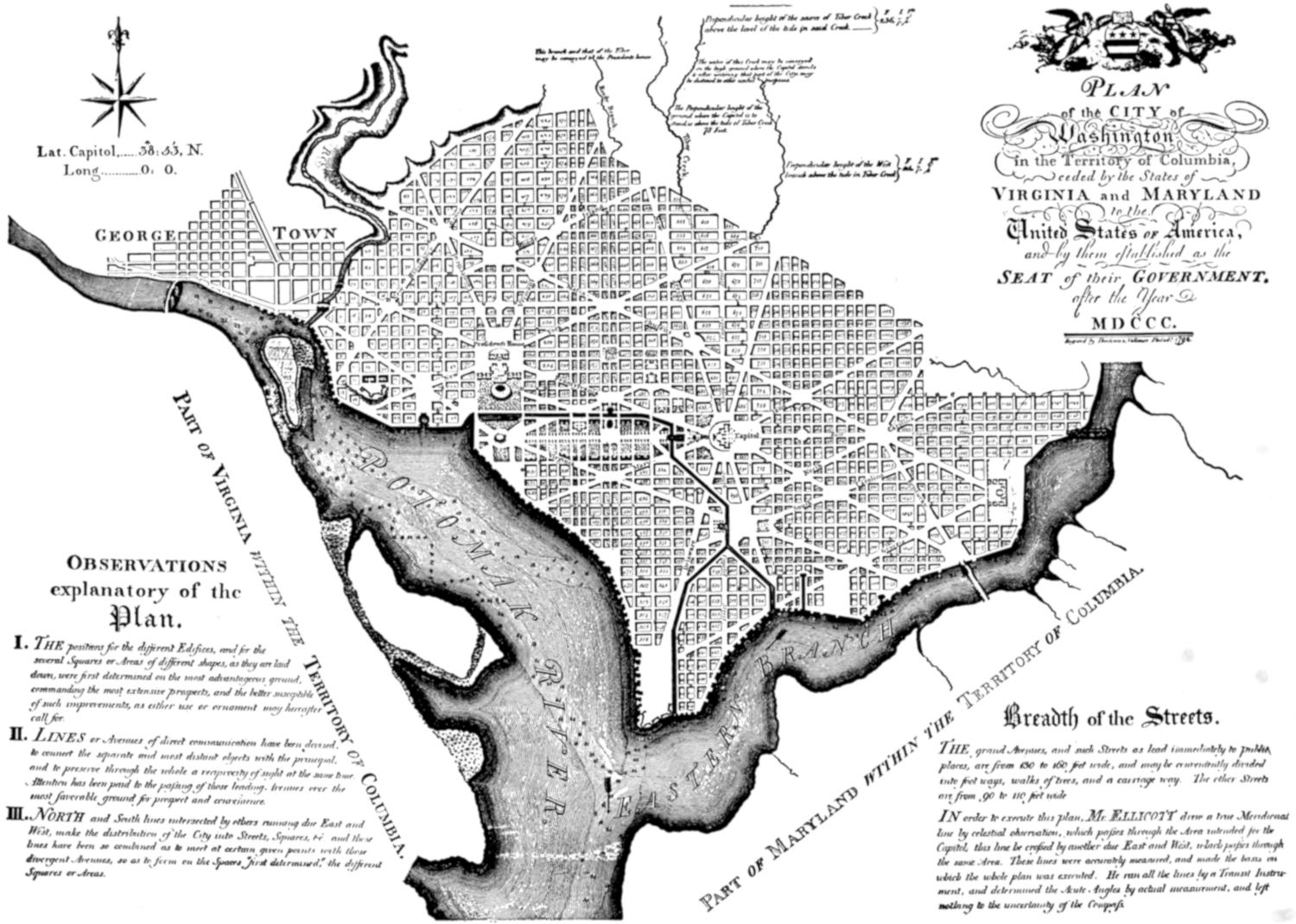
THE ELLICOTT PLAN
In an overlay of the two plans of L’Enfant and Ellicott, prepared with great
accuracy by the hydrographic section of the Navy, only the main east-west and
north-south axes of the Capitol and White House coincide. An examination of
this drawing shows that the art of surveying had not at that period reached
present-day accuracy.
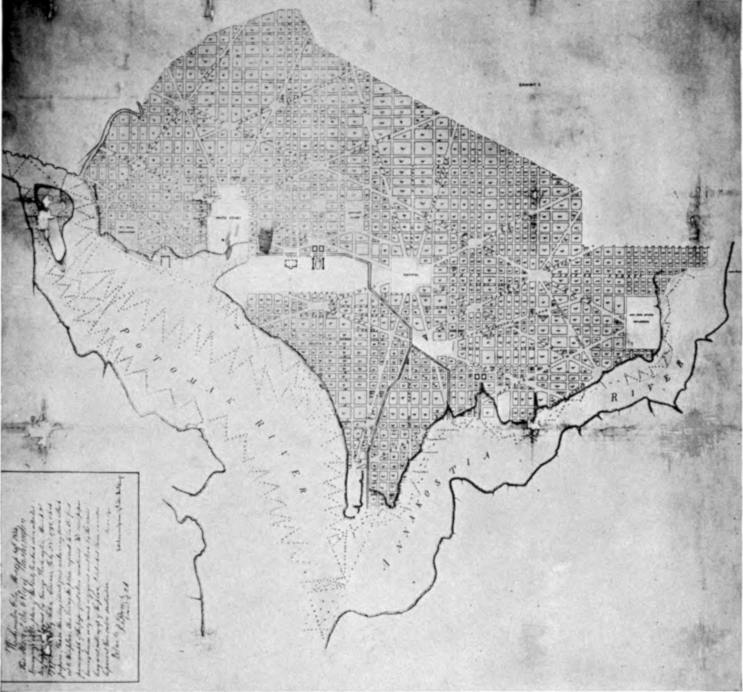
THE DERMOTT OR TIN CASE MAP OF THE CITY OF WASHINGTON, 1797-98
Several suppressed sections of the L’Enfant plan were restored in the engraved
plan. Maryland Avenue was carried through to the “Grand Avenue,” and South
Carolina Avenue extended to New Jersey Avenue and the “Town House” site.
The plan of James R. Dermott, the officially approved plan, had many more
city squares, and consequently more lots for sale. It is known as the Tin Case
Map, because about 50 years later it was thus found preserved. The cry of
grasping owners and voracious speculators was for more lots; and L’Enfant’s
letter of warning to President Washington dated August 19, 1791, against this
evil proved more than justified. This city plan also indicated the names of the
avenues.
What is known as the King Map was made by Robert King, a surveyor in the
office of the Commissioners of the District of Columbia, and published in 1818.
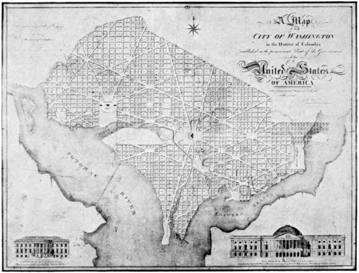
THE KING MAP
The map is of interest in that we note in it the word Judiciary in what is
known as Judiciary Square. We learn from L’Enfant’s Memorial addressed to
Congress on December 7, 1800, that L’Enfant intended the third coordinate
branch of the Government, the Judiciary, be located there. To-day the Square
is largely occupied by court buildings.
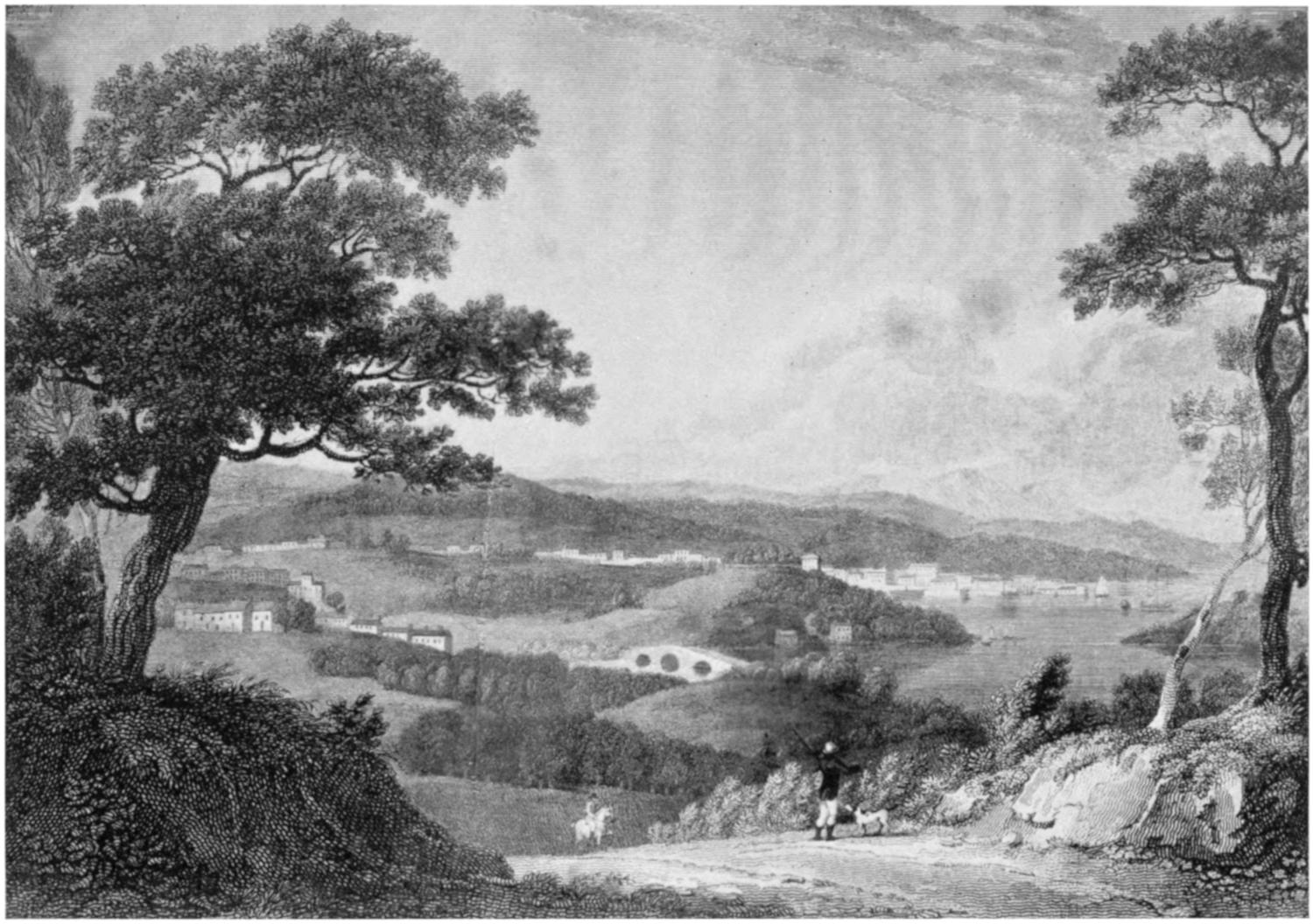
VIEW OF EARLY WASHINGTON
Chapter VI EARLY WASHINGTON
While Major L’Enfant drew the plan of the Federal City, it was Andrew
Ellicott who afterward carried it out. The building of the city attracted many
speculators, who invested heavily. Robert Morris, James Greenleaf, Thomas
Law, John Nicholson, and Samuel Blodgett were among those who lost thereby.
When Washington became the seat of government in 1800 there were 109
brick and 263 frame houses, sheltering a total population of about 3,000. The
early years of the city’s development were difficult and too much praise cannot
be given the men who carried the burden. The departments of the government
that existed then were State, Treasury, War, Navy, the Office of the
Attorney General, and the Postal Service. They employed a total of 137 clerks.
We have brief accounts of the appearance of Washington written by travelers
who visited the United States during the period from 1790 to 1800. There
is an interesting description by Duc de La Rochefoucauld-Liancourt, who wrote
an account of his “Voyage dans les États-Unis d’Amerique fait en 1795-97.”
The accounts of several inhabitants in Washington of the period is well summed
up by Albert J. Beveridge in his Life of John Marshall (vol. III, pp. 1-4):
A strange sight met the eye of the traveler who, aboard one of the little river sailboats of the
time, reached the stretches of the sleepy Potomac separating Alexandria and Georgetown. A
wide swamp extended inland from a modest hill on the east to a still lower elevation of land about
a mile to the west. Between the river and morass a long flat tract bore clumps of great trees,
mostly tulip poplars, giving, when seen from a distance, the appearance of a fine park.
Upon the hill stood a partly constructed white stone building, mammoth in plan. The slight
elevation north of the wide slough was the site of an apparently finished edifice of the same material,
noble in its dimensions and with beautiful, simple lines, but “surrounded with a rough rail fence
5 or 6 feet high unfit for a decent barnyard.” From the river nothing could be seen beyond the
groves near the banks of the stream except the two great buildings and the splendid trees which
thickened into a seemingly dense forest upon the higher ground to the northward.
On landing and making one’s way through the underbrush to the foot of the eastern hill, and up
the gullies that seamed its sides thick with trees and tangled wild grapevines, one finally reached
the immense unfinished structure that attracted attention from the river. Upon its walls laborers
were languidly at work.
Clustered around it were fifteen or sixteen wooden houses. Seven or eight of these were
boarding-houses, each having as many as ten or a dozen rooms all told. The others were little
affairs of rough lumber, some of them hardly better than shanties. One was a tailor shop; in
another a shoemaker plied his trade; a third contained a printer with his hand press and types, while
a washerwoman occupied another; and in the others were a grocery shop, a pamphlets-and-stationery
shop, a little dry-goods shop, and an oyster shop. No other human habitation of any
kind appeared for three-quarters of a mile.
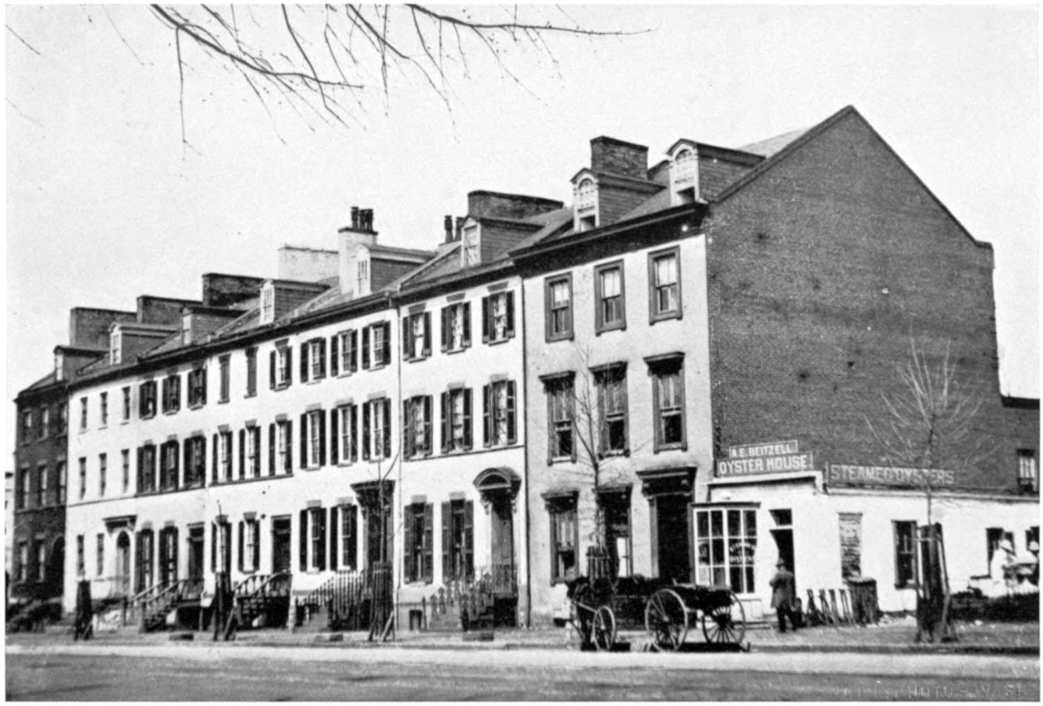
Courtesy of National Photo Co.
THE SIX BUILDINGS
A broad and perfectly straight clearing had been made across the swamp between the eastern
hill and the big white house more than a mile away to the westward. In the middle of this long
opening ran a roadway, full of stumps, broken by deep mud holes in the rainy season, and almost
equally deep with dust when the days were dry. On either border was a path or “walk” made firm
at places by pieces of stone; though even this “extended but a little way.” Alder bushes grew
in the unused spaces of this thoroughfare [the present notable Pennsylvania Avenue], and in the
depressions stagnant water stood in malarial pools, breeding myriads of mosquitoes. A sluggish
stream meandered across this avenue and broadened into the marsh.
A few small houses, some of brick and some of wood, stood on the edge of this long, broad
street. Near the large stone building at its western end were four or five structures of red brick
looking much like ungainly warehouses. Farther westward on the Potomac hills was a small but
pretentious town with its many capacious brick and stone residences, some of them excellent
in their architecture and erected solidly by skilled workmen.
Other openings in the forest had been cut at various places in the wide area east of the main
highway that connected the two principal structures already described. Along these forest
avenues were scattered houses of various materials * * *. Such was the City of Washington,
with Georgetown nearby, when Thomas Jefferson became President and John Marshall Chief
Justice of the United States—the Capitol, Pennsylvania Avenue, the “Executive Mansion” or
“President’s Palace,” the department buildings near it, the residences, shops, hostelries, and
streets.
The south lines of the 10-mile square—the Federal district in which the new
Capital lay—were to run from the intersection of the Potomac River and the
Eastern Branch, but, as has been related, by the act of March 3, 1791, these
boundary lines were moved south to include Alexandria and part of Virginia
within the Federal territory. The land lying within the bounds of the proposed
city was given by the proprietors to trustees appointed by the Government
under an agreement by which the Nation received the land necessary for streets
without charge, purchasing the areas for parks and building sites at the rate of
£25 per acre. The remaining land was divided equally with the original proprietors.
The first settlements were made on grants given chiefly to retired naval
officers who named their holdings after their camps—Mexico, Jamaica, and Port
Royal. There were two settlements on the site—Carrollsburg, named after its
founder, and Hamburg, an early real-estate development near and south of
Georgetown. A stream of considerable size known originally as Goose Creek ran
through the city. It later became known as Tiber Creek, because a resident
named Pope, whose estate he facetiously called Rome, contended that if there
was a Pope in Rome, his residence should be situated on the Tiber.
As is noticed by reference to the plans, a canal extended from the point about
where the Lincoln Memorial is located, along B Street, now Constitution Avenue,
east to the Capitol; thence along James Creek, known to-day as Canal Street. In
those days Pennsylvania Avenue was a dusty road, lined with poplar trees, and
often so flooded that it was not an uncommon sight to see boats floating on
it. For a long time an isolated group of buildings known as the Six Buildings
at Twenty-first Street and Pennsylvania Avenue stood halfway between the
Capitol and Georgetown.
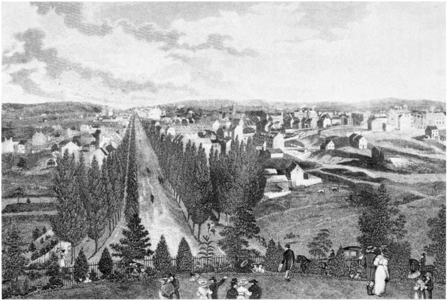
EARLY WASHINGTON, SHOWING THE JEFFERSON POPLARS
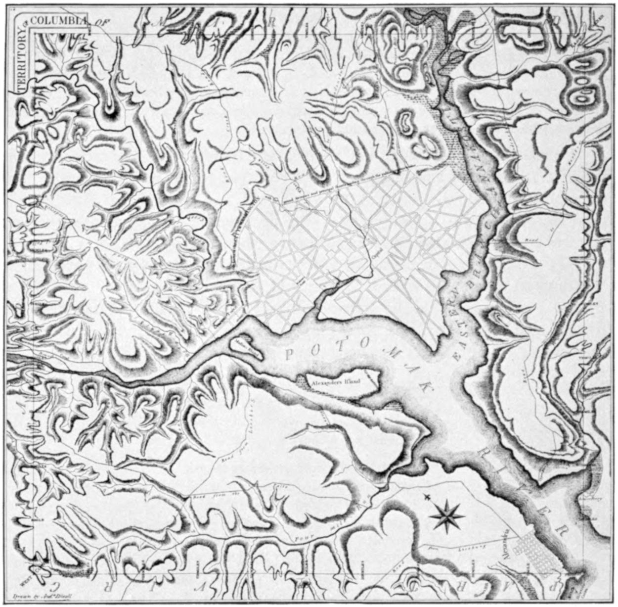
THE ELLICOTT MAP
Washington as the infant city appeared in 1800 is best described by John
Cotton Smith, Member of Congress from Connecticut, in a letter written by him
at the time, as follows:
Our approach to the city was accompanied with sensations not easily described. One wing of
the Capitol only had been erected, which with the President’s House, 1 mile distant from it, both
constructed with white sandstone, were shining objects in dismal contrast with the scene around
them. Instead of recognizing the avenues and streets, portrayed on the plan of the city, not one
was visible, unless we except a road, with two buildings on each side of it, called the New Jersey
Avenue. The Pennsylvania Avenue, leading, as laid down on paper, from the Capitol to the Presidential
Mansion, was nearly the whole distance a deep morass covered with alder bushes, which
were cut through to the President’s House; and near Georgetown a block of houses had been erected
which bore the name of the “six buildings” * * *. The desolate aspect of the place was not a
little augmented by a number of unfinished edifices at Greenleaf’s Point.
There appeared to be but two really comfortable habitations, in all respects, within the bounds
of the city, one of which belonged to Dudley Carroll and the other to Notley Young. The roads
in every direction were muddy and unimproved. A sidewalk was attempted, in one instance, by a
covering formed of the chips hewed for the Capitol. It extended but a little way and was of little
value; for in dry weather the sharp fragments cut our shoes, and in wet weather covered them
with white mortar. In short, it was a new settlement.
Newspapers in New York, Philadelphia, and New England and satirists everywhere
cracked many amusing jokes at the expense of the embryonic city. The
Capitol was called “the palace in the wilderness” and Pennsylvania Avenue “the
great Serbonian Bog.” Georgetown was declared “a city of houses without
streets” and Washington “a city of streets without houses.”
The Abbe Correa de Serra, the witty minister from Portugal, bestowed upon
Washington the famous title of “the city of magnificent distances,” referring to
the great spaces between the scattered houses; while Thomas Moore, just then
coming into prominence as a poet, visited the city in 1804, and contributed to
the general fund of humor by the composition of this satire:
In fancy now beneath the twilight gloom,
Come, let me lead thee o’er this second Rome,
Where tribunes rule, where dusky Davi bow,
And what was Goose Creek once is Tiber now.
This fam’d metropolis, where fancy sees
Squares in morasses, obelisks in trees;
Which second sighted seers e’en now adorn
With shrines unbuilt and heroes yet unborn.
During the administrations of Adams and Jefferson the city improved considerably.
Jefferson secured money from Congress for public buildings. In 1803
he appointed Benjamin Latrobe as the Architect of the Capitol, and by him
the construction of the Capitol was carried on so energetically that he gave
form to the old portion of the Capitol that Thornton had simply planned.
Thomas Jefferson also secured money from Congress for the improvement
of Pennsylvania Avenue, which was then a dusty highway in the summer and
swampy place in winter; planted poplar trees and did what he could to redeem
that thoroughfare from its lamentable condition. He applied his artistic taste
and skill to the work of beautifying the city.
Chapter VII WASHINGTON, 1810-1815
An interesting account of Washington during this period is given by David
Baillie Warden in his book entitled “A Description of the District of Columbia,”
published in Paris in 1816, and dedicated to Mrs. George Washington Parke
Custis. He states:
It is scarcely possible to imagine a situation more beautiful, healthy and convenient than of
Washington. The gentle undulated surface throws the water into such various directions, as
affords the most agreeable assemblage. The rising hills, on each side of the Potomac, are truly
picturesque; and as the river admits the largest frigates, their sails, gliding through the majestic
trees which adorn its banks, complete the scenery.
The city extends from northwest to southeast about four miles and a half, and from northeast
to southwest about two miles and a half. The public buildings occupy the most elevated and convenient
situations, to which the waters of the Tiber Creek may be easily conducted, as well as to
every other part of the city, not already watered by springs.
The streets run from north to south, and from east to west, crossing each other at right angles,
with the exception of fifteen, that point to the State of which each bears the name. The capitol
commands the streets called the Maryland, Delaware, and Pennsylvania avenues; the President’s
House, those of Vermont, New York, and Connecticut; and all these different intersections form
eleven hundred and fifty squares. The Pennsylvania Street, or avenue, which stretches in a direct
line from the President’s house to the capitol, is a mile in length, and a hundred and sixty feet in
breadth. That of the narrowest streets is from ninety to a hundred feet, which will give a fine
appearance to the city; but in a region where the summer sun is so intensely hot, and the winter
winds so severely cold, narrow streets, affording shade and shelter, would be of great utility.
The plan of the city of which we have prefixed an engraving (There is a plan by Major L’Enfant,
engraved at the expence of the Government, on the scale of a hundred poles to an inch), is
universally admired. The most eligible places have been selected for public squares and public
buildings. The capitol is situated on a rising ground, which is elevated about eighty feet above
the tide-water of the Potomac. This edifice will present a front of six hundred and fifty feet, with
a colonade of two hundred and sixty feet, and sixteen Corinthian columns thirty-one feet and a
half in height. The elevation of the dome is a hundred and fifty feet * * *.
The President’s house consists of two stories, and is a hundred and seventy feet in length, and
eighty-five feet in breadth. It resembles Leinster-House in Dublin. * * * The view from the
windows fronting the river is extremely beautiful.
The Public Offices, the Treasury, Department of State, and of War, are situated in a line with,
and at the distance of four hundred and fifty feet from the President’s House. These buildings, of
two stories, have a hundred and twenty feet in front, sixty in breadth, and sixteen feet in height,
and are ornamented with a white stone basement, which rises six or seven feet above the surface.
It was originally proposed to form a communication between these offices and the house of the
president, a plan which was afterwards abandoned.
The Jail consists of two stories, and is a hundred by twenty-one feet.
The Infirmary is a neat building.
There are three commodious Market-places built at the expence of the corporation.
The public buildings at the Navy Yard are the barracks, a work-shop, and three large brick
buildings for the reception of naval stores. The Barracks, constructed of brick, are six hundred
feet in length, fifty in breadth, and twenty in height. At the head of the Barrack-yard is the
Colonel’s house, which is neat and commodious. The Workshop, planned by Latrobe, is nine
hundred feet in length.
The Patent Office, constructed according to the plan of J. Hoban, esquire (who gained the
prize for that of the President’s house) consists of three stories, and is a hundred and twenty feet
long, and sixty feet wide. It is ornamented with a pediment, and six Ionic pilasters. From the
eminence (This eminence has the shape of a tortoise-shell) on which it stands, the richly-wooded
hills rise on every side, and form a scenery of unequaled beauty. It was erected by Mr. Blodgett
to serve as a public hotel * * *. In 1810 this edifice was purchased by the government.—Dr.
Thornton, director.
In the summer of 1814 this metropolis was taken possession of by an English naval and land
force, which set fire to the Capitol, President’s house, Public Offices, and Navy Yard. The loss
sustained was $1,215,111.
Two of the luxuries of life, pine-apples and ice, are found at Washington at a cheap rate. The
former, imported from the West Indies, are sold at twenty-five cents each. The latter article is
purchased, throughout the summer, at half a dollar per bushel. * * *
It is deeply to be regretted, that the government or corporation did not employ some means
for the preservation of the trees which grew on places destined for the public walks. How agreeable
would have been their shade along the Pennsylvania Avenue where the dust so often annoys,
and the summer sun, reflected from the sandy soil, is so oppressive. The Lombardy poplar, which
now supplies their place, serves more for ornament than shelter.
Water may be distributed to any part of Washington from several fine springs, and also from
the Tiber Creek, the source of which is 236 feet above the level of the tide in the same stream. * * *
The canal, which runs through the centre of the city, commencing at the mouth of Tiber
Creek, and connecting the Potomac with its eastern branch, is nearly completed. Mr. Law
(Brother to Lord Ellenborough) the chief promoter of this undertaking, proposes to establish packet-boats
to run between the Tiber Creek and the Navy-Yard—a conveyance which may be rendered
more economical and comfortable than the hackney-coach. This canal is to be navigable for boats
drawing three feet of water.
The population of the territory of Columbia, in 1810, amounted to 24,023. That of the city
was 8,208; of Georgetown, 4,948; of Alexandria, 7,227.
On August 24, 1814, the British arrived in Washington at about 6 o’clock in
the evening. That night they burned the Capitol, the President’s House, the
Treasury, State and Navy Department Buildings, and a number of private houses
on Capitol Hill. The flames could be seen from the Francis Scott Key mansion at
Georgetown. Several wagonloads of valuable documents had been taken a few
days previously from the State Department to Leesburg, Va., 35 miles northwest
of Washington, to a place of safety.
The British also intended to burn the Patent Office, but Commissioner
Thornton met them boldly, saying: “Are you Englishmen or Goths and vandals?
This is the Patent Office, the depository of the ingenuity of the American
Nation, in which the whole civilized world is interested. Would you destroy
it? If so, fire away and let the charge pass through my body.” The British
allowed it to remain and withdrew.
Mrs. Dolly Madison, having secured such property from the White House as
could be carried, including the Gilbert Stuart portrait of General Washington,
which she cut from the frame, went through Georgetown and that night slept in
a camp of soldiers with a guard about her tent. Later the President, who had
taken refuge in a tavern near McLean, in Virginia, joined Mrs. Madison. The
southwest end of the bridge over which they had crossed the Potomac—it was
then a pile bridge 1 mile long—was burned, and they were thereupon required
to make their return to Washington by boat. The residence of the President was
then established at the Octagon House at Eighteenth Street and New York
Avenue. In 1815 the residence of the President was removed to the “Seven
Buildings,” at the northwest corner of Pennsylvania Avenue and Nineteenth
Street, one of the early homes of the Department of State. Here it remained
until the Executive Mansion was restored, March, 1817.
After the withdrawal of the British the Blodgett Hotel building, acquired for
the use of the Patent Office, was for a time occupied by Congress for its sessions.
Later Congress moved into a building at First and A Streets NE., known later as
the Old Capitol Building and used during the Civil War as a military prison.
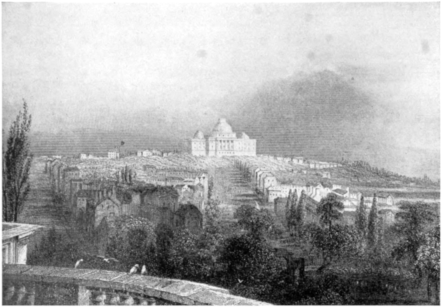
WASHINGTON, FROM THE PRESIDENT’S HOUSE, 1830
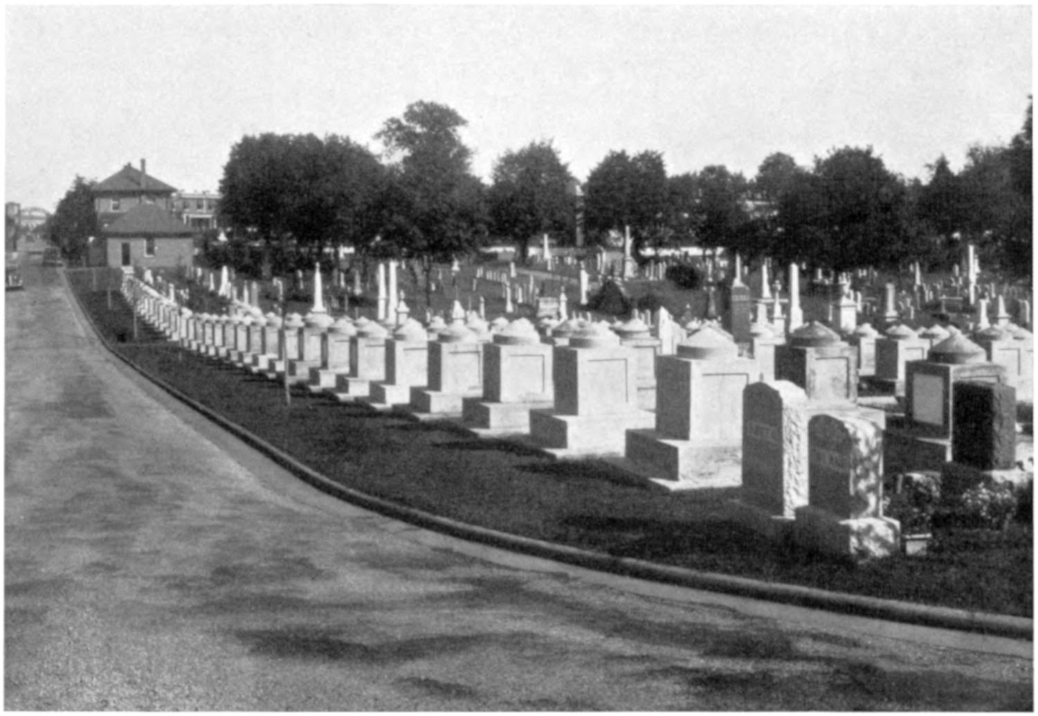
CHRIST CHURCH BURIAL GROUND, LATER KNOWN AS “CONGRESSIONAL CEMETERY”
SHOWING CENOTAPHS ERECTED TO THE MEMORY OF MEMBERS OF CONGRESS IN EARLY DAYS
Chapter VIII WASHINGTON, 1816-1839
The administration of President Monroe, who served two terms (1817-1825)
is known as the “era of good feeling,” but so far as developing the plan of Washington
little was done. In 1820 the population of Washington was 13,247.
During these years the Capitol was rebuilt and was reoccupied by Congress.
In 1820 the corner stone of the city hall on Judiciary Square was laid. In 1824
General Lafayette made his memorable visit to Washington.
In 1825 trees were planted on two squares of the filled lowlands south of Pennsylvania
Avenue. That year, also, the eastern portico of the Capitol was completed;
Pennsylvania Avenue was graded from Seventeenth to Twenty-second
Streets; the grounds of the White House, as the Executive Mansion came to be
known after the War of 1812, and the grounds of the city hall were also graded.
At that time there were about 13 miles of brick paving, average width 13 feet.
Among churches that were built during this period was Foundry Methodist
Church, founded in 1816, at Fourteenth and G Streets NW. The site was given
by Henry Foxall, who operated a foundry about a mile above Georgetown, near
the site of the canal, in fulfillment of a vow that if his foundry were spared during
the attack on Washington he would make this gift.
On January 27, 1824, the Legislature of Virginia granted a charter to the newly
organized Chesapeake & Ohio Canal Co., which was to supersede the old
Potomac Co., of which George Washington had been first president, and which
had developed commerce with the West. At Little Falls, on the north side of the
river, a canal 2¹⁄₂ miles long, with 4 masonry locks having a total elevation of 37
feet, had been constructed. At Great Falls, on the south side, a canal 1,200
yards long, with 5 locks having a total difference of level of 76 feet 9 inches, was
constructed. The two lower locks were cut in solid rock.
On July 4, 1828, President John Quincy Adams turned the first spadeful of
earth for the new canal, which was completed to the first feeder at Seneca on
July 4, 1831. From this place to Point of Rocks work was delayed by a legal
contest with the Baltimore & Ohio Railroad Co., which extended its first 45
miles along the same course as the canal. That railroad company, organized in
1828 at Baltimore, was the beginning of one of the great railroad systems of the
United States that were to revolutionize commerce and industry. To-day the
Chesapeake & Ohio Canal remains the property of the United States Government,
and is to be made into a great park.
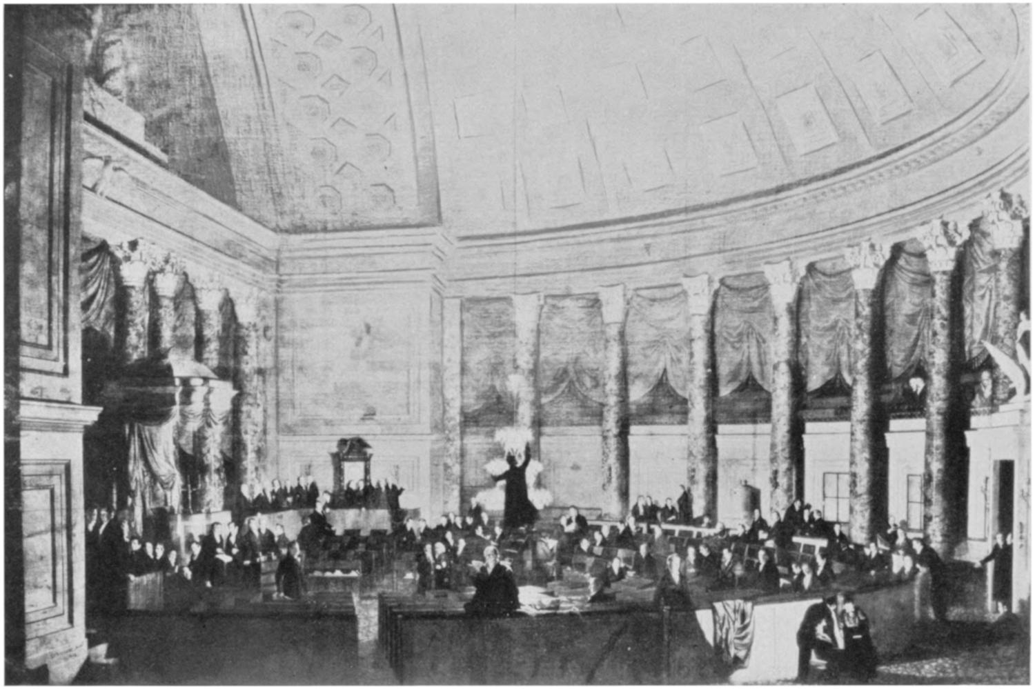
THE HOUSE OF REPRESENTATIVES ABOUT 1820
FROM PAINTING MADE BY SAMUEL F. B. MORSE, SHORTLY
AFTER REBUILDING OF THE CAPITOL AFTER THE FIRE OF 1814
ORIGINAL IN THE CORCORAN GALLERY OF ART
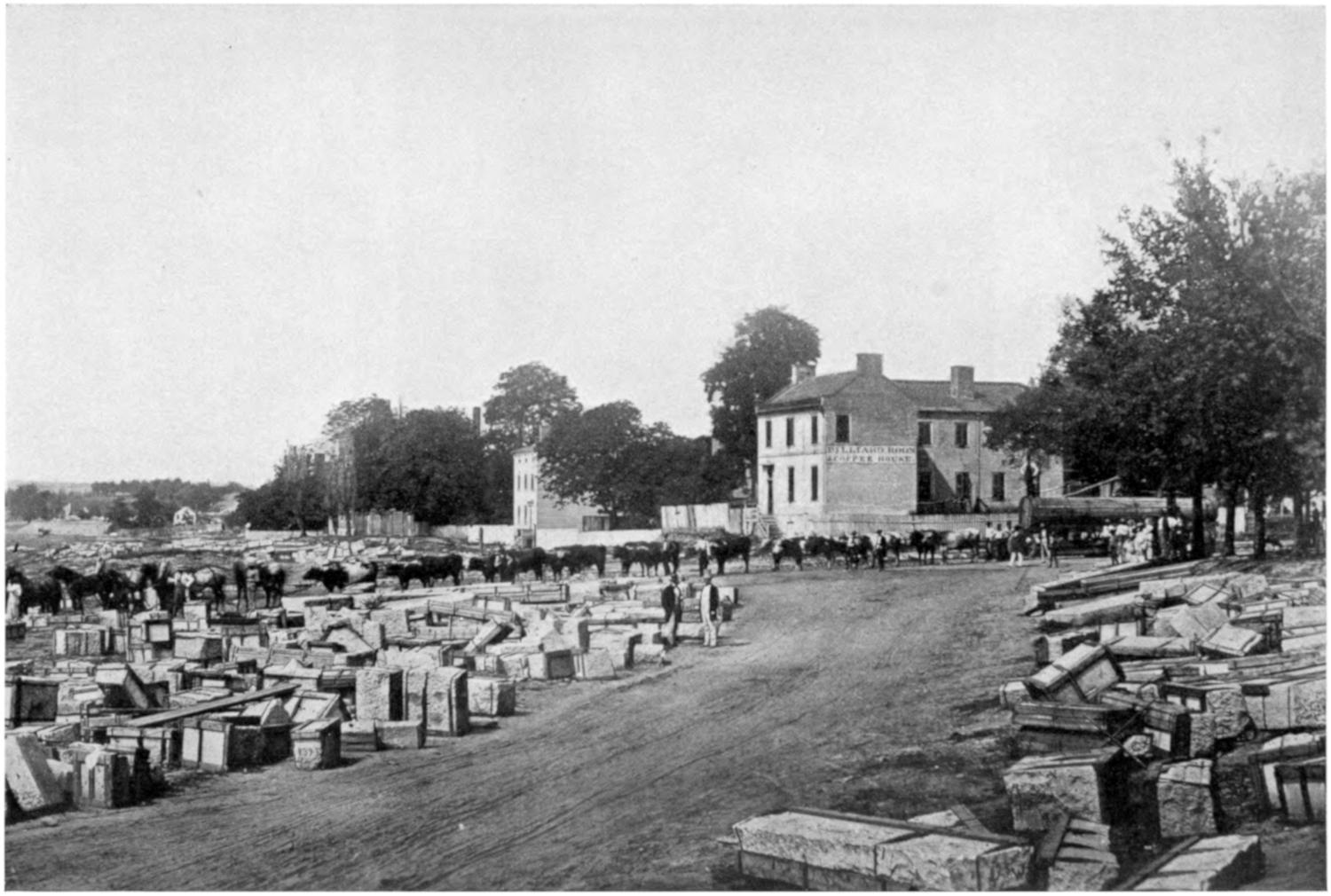
Courtesy of National Photo Co.
SITE AND MATERIAL FOR DEPARTMENT OF THE TREASURY BUILDING, 1839
Georgetown had become a great trading center. From 1815 to 1835 products
to the value of $4,077,708 were exported from Georgetown to foreign markets,
and from 1826 to 1835 nearly $5,000,000 worth of products to other American
cities, including a million barrels of flour and 5,400 hogsheads of tobacco.
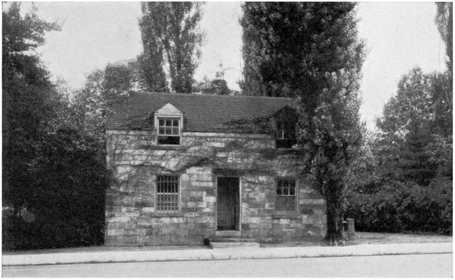
GATEHOUSE, BUILT IN 1835, ALONG THE OLD CHESAPEAKE & OHIO CANAL
In the spring of 1828, shortly before what was called the corner stone of the
main line was laid, Congress enacted a law granting entrance of a railroad line
into the District. Some six years passed before the Washington branch reached
the District line. The first service began on Monday, July 20, 1835, with two
trains each way. A great celebration, in which 1,000 passengers and 2 bands on
4 trains took part, marked the entrance of the railroad service to the National
Capital. The steam cars passed through the city on their daily trips to the depot
at the northwest corner of Pennsylvania Avenue and Second Street. October 1,
1835, it was reported that the average number of travelers per day was 200.
During this period the construction of the present Treasury Department,
Patent Office, and old Post Office Department Buildings was authorized. They
conformed to the Capitol and the White House in their fine style of classical
architecture, and emphasized the fact that Washington is the National Capital.
Unfortunately, it was during this period that great mistakes were made—such
as giving over part of the Mall to garden purposes and in letting Government
areas, so much desired now, go for private purposes; also in the location of certain
public buildings, as erecting the Treasury Department in the center of
Pennsylvania Avenue.
Chapter IX WASHINGTON, 1840-1859
In 1840 Washington had a population of 23,364. The city was still in a very
much undeveloped state, though the fact that it was the National Capital was
not lost sight of. In 1846 the construction of the Smithsonian Institution
Building was begun, and on July 4, 1848, the corner stone of the Washington
Monument was laid. On July 4, 1851, the corner stone for the enlargement of
the Capitol according to plans as we see it to-day, was laid.
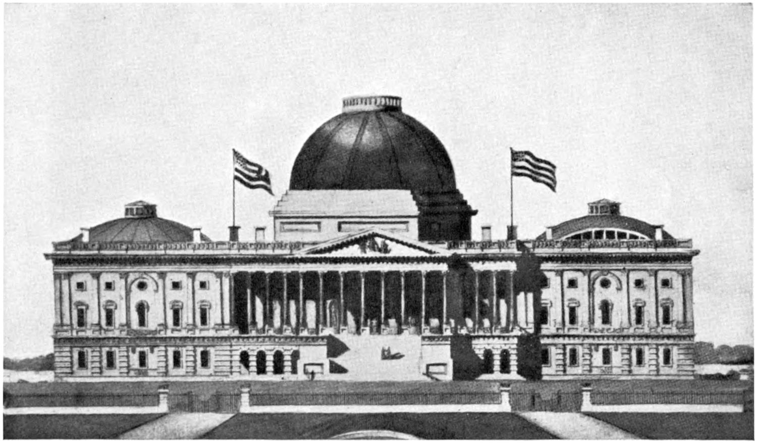
THE CAPITOL, 1840
However, so far as city development was concerned, little was done during this
period. The L’Enfant plan seemed either forgotten or entirely too large for the
National Capital. In the city of Washington not a street was lighted up to 1860
excepting Pennsylvania Avenue. Pigs roamed the principal thoroughfares.
Pavements, save for a few patches here and there, were altogether lacking. An
open sewer carried off common refuse, and the police and fire departments might
have sufficed for a small village rather than for a nation’s capital.
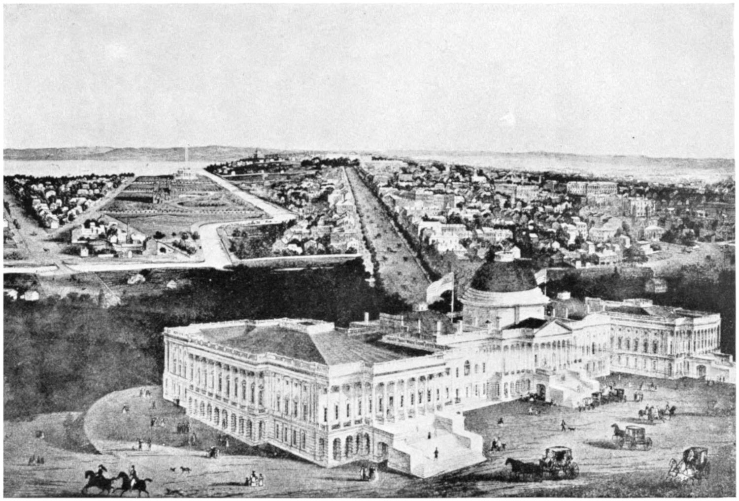
WASHINGTON, 1852
In 1846 the part of the District of Columbia on the west bank of the Potomac,
including Alexandria, was re-ceded to Virginia. This was done pursuant to an
act of Congress of July 9 of that year, and with the assent of the people of the
county and town of Alexandria, at an election on the first and second days of
September, 1846, by a vote of 763 for retrocession and 222 against it. On
September 7, 1846, President Polk issued a proclamation giving notice that the
portion derived from the State of Virginia, about 36 square miles, was re-ceded to
that State. The action of Congress and the President was based upon petitions of
the people of the town and county of Alexandria. The chief reasons were two:
First, that the United States did not need Alexandria County for the purpose
of the seat of government; the public buildings were all erected on the north side
of the river, as required by law—none on the south side—and it was declared
that so far as it could be foreseen the United States would never need that part
of the District of Columbia for the purpose of the seat of government. Secondly,
the petitioners said that the people of Alexandria had failed to derive or share in
the benefits which had been enjoyed by the residents of the Maryland portion
of the District of Columbia in the disbursements for public improvements, etc.,
while on the other hand they were deprived of those political rights incident to
citizenship in a State.
Since then the United States has acquired something over 2 square miles of
this territory for use as a military post, a national cemetery, a Signal Corps
station, and the Department of Agriculture Experiment Farm.
The constitutionality of the retrocession has often been questioned. But
Congress had expressed itself clearly on the subject, and the majority of the
voters had their way in the matter. In a test case before the Supreme Court of
the United States in 1875 (Phillips v. Payne), the court, while not directly ruling
on the question, held that an individual is estopped from raising the question.
According to an opinion rendered by an attorney general about 1900, it would
now take the consent of the State of Virginia to reinclude the Virginia portion as
part of the District of Columbia.
In the development of the National Capital the portion in Virginia is properly
included in the metropolitan area of Washington. The National Capital Park
and Planning Commission is, by authority of Congress, cooperating with similar
commissions of the States of Maryland and Virginia. The great object is to
secure for the remote regions of the National Capital area the same harmonious
development as there is in the heart of the city. Both the States of Maryland and
Virginia are cooperating to the fullest extent in this matter.
On December 16, 1852, the first issue of the Washington Evening Star,
which has grown into one of the great national dailies, appeared.
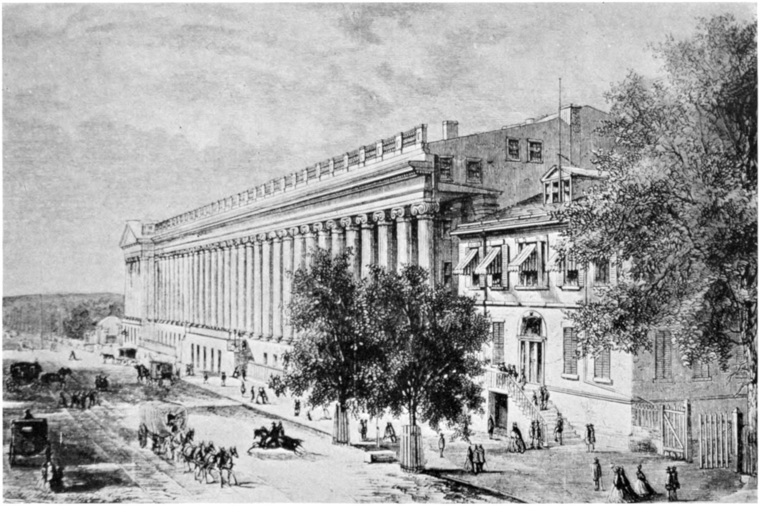
DEPARTMENT OF THE TREASURY BUILDING, 1855
Chapter X WASHINGTON 1860-1870
Washington in 1860 was still a comparatively small and undeveloped city,
with a population of 61,122. But the people were soon aroused to intense
excitement because of the strife between the States. When the Civil War began,
the eyes of the Nation were turned on Washington. The city increased in
population to over 100,000 in a few months time and was the center of great
war-time activities. On April 18, 1861, 500 Pennsylvania troops, the first to
answer President Lincoln’s call for volunteers, entered the city, and the day
following they were joined by the Sixth Massachusetts Regiment. Soon thousands
of additional men were here from all the States in the North. Washington
became an armed camp. Schools, churches, and public halls were turned into
hospitals to care for the sick and wounded. A chain of forts and batteries was
erected about the city to protect it, and by October 1862 there were 252,000
soldiers encamped around Washington on both sides of the river. There were
70 hospitals, caring for 30,000 sick and wounded men.
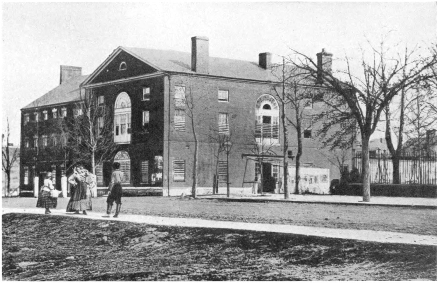
OLD CAPITOL PRISON
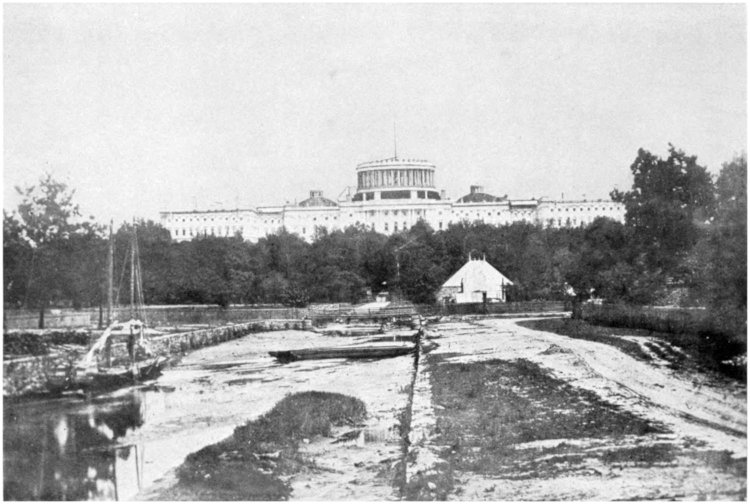
THE CAPITOL, SHOWING UNCOMPLETED DOME, 1860
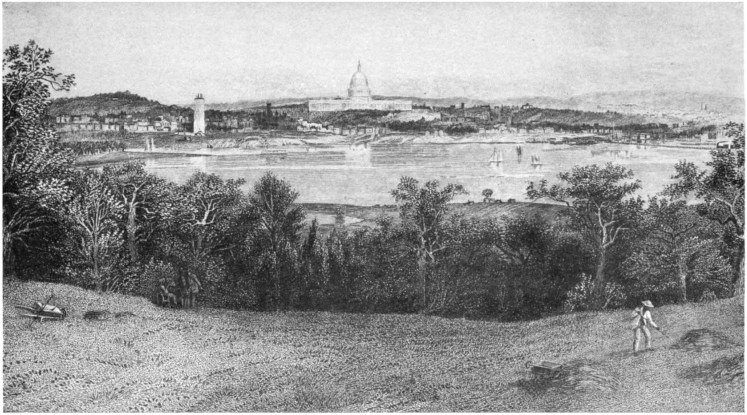
WASHINGTON, FROM ARLINGTON HEIGHTS, 1865
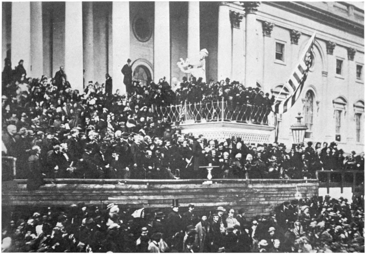
SECOND INAUGURAL OF PRESIDENT LINCOLN, 1865
On the morning of July 11, 1864, great fear spread over the city as Gen. Jubal
A. Early reached a point about 6 miles to the north of the city where the Walter
Reed General Hospital now stands. General Grant sent the Sixth and part of the
Nineteenth Corps to Washington, and their arrival on the afternoon of that day
saved the city. On the following day a skirmish of troops and sharp engagement
took place, which President Lincoln witnessed as a spectator at Fort Stevens,
exposing himself for a time to the fire. That evening General Early, finding himself
opposed by a greater force than he was prepared to meet, withdrew, recrossing
the Potomac at White Fords, Va.
During the four years of the war thousands of troops passed through Washington
on their way to the front, thrilled by the thought of being in the Nation’s
Capital. Even though the Civil War was a great handicap to the carrying out of
improvements in the city, still several notable improvements were made, among
these being the work of enlarging the Capitol and completing the Dome as we see
it to-day. In that period also the first street-car line was opened, the Long Bridge
was rebuilt, and work on the Washington Aqueduct developed so that from that
time water has been brought from the Potomac at Great Falls to the city.
In 1861 the number of employees of the Government was 3,466, and in 1865
they numbered 7,184.
On October 2, 1862, the first horse-drawn street cars commenced operation,
running from the Navy Yard to Georgetown; they continued in use for 40 years.
On April 14, 1865, occurred the great tragedy when President Lincoln was
assassinated at Ford’s Theater by the actor John Wilkes Booth. The funeral procession
was a great solemn occasion, for Abraham Lincoln, on whom the Nation
had depended during four years of war to guide it safely through the bitter conflict,
had given his life for the cause that the Union might be preserved. On
May 23 and 24 took place the Grand Review on Pennsylvania Avenue of 200,000
men, requiring six hours for General Meade’s army on the first day and seven
hours for General Sherman’s army on the second day to pass before President
Johnson and General Grant. In a few days those who made up these armies
passed from military life and resumed their places among their fellow citizens.
Buildings that had been used as hospitals were again given over to peaceful
pursuits, and the forts that surrounded the city were dismantled. Lumber from
temporary buildings that were torn down was used to begin the construction of
houses in a new subdivision called Mount Pleasant. But the great era for civic
improvements was not to take place for another five years, until the administration
of President Grant.
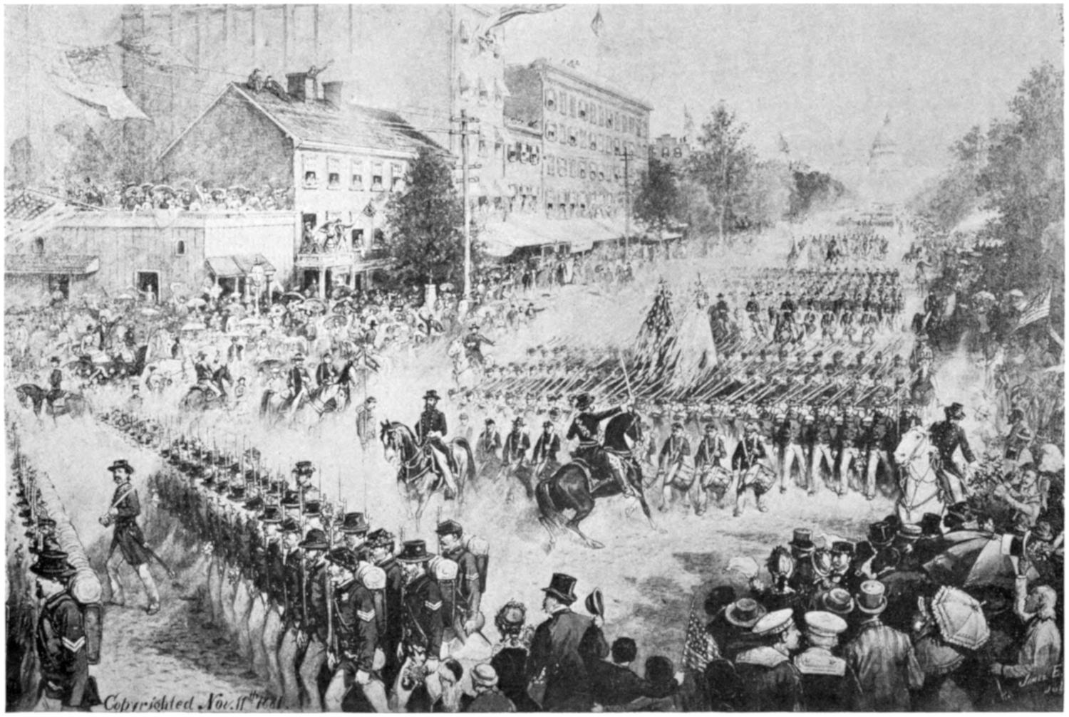
Photograph by courtesy of the Oldest Inhabitants Association
GRAND REVIEW OF UNION ARMY, MAY, 1865
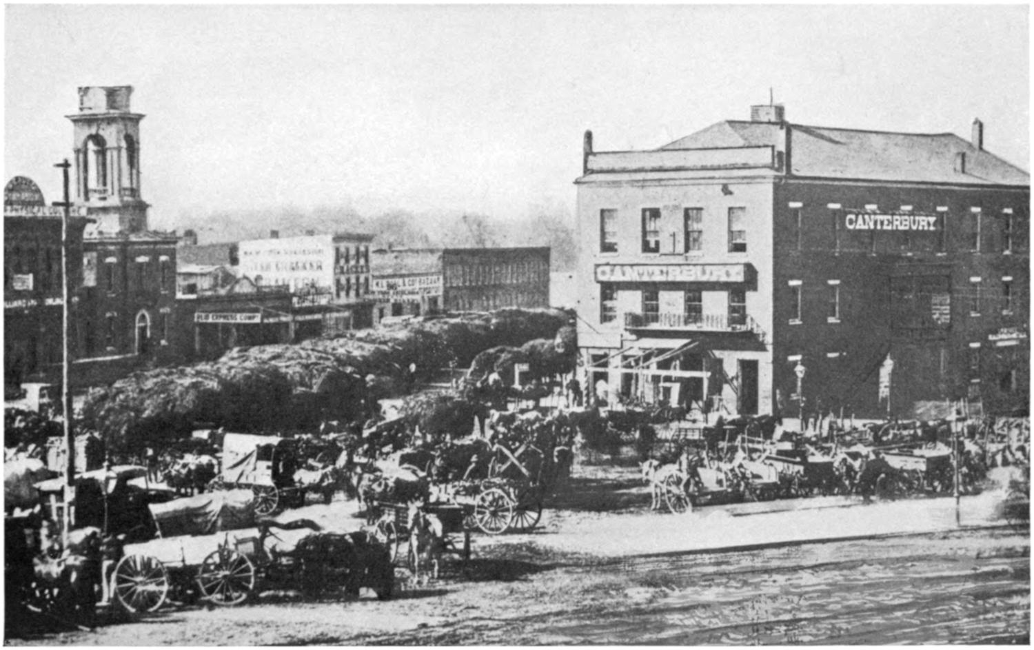
OLD HAYMARKET SQUARE, LOUISIANA AVENUE BETWEEN NINTH AND TENTH STREETS
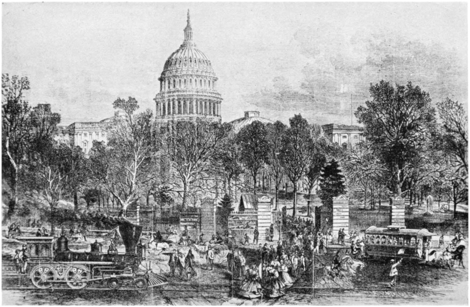
THE CAPITOL, 1870
Chapter XI IMPROVEMENTS MADE DURING PRESIDENT GRANT’S ADMINISTRATION
The year 1870 marked the beginning of a new and effective movement for
the development of the National Capital. Washington was then a city of 109,199.
Great efforts to relocate the National Capital in some other city, preferably
farther to the west, were made by some who were familiar with conditions in
Washington. St. Louis offered to spend several millions of dollars for the erection
of public buildings. Congress settled this agitation by appropriating $500,000
as an initial sum for the construction of the State, War, and Navy Building.
By an act of Congress approved February 21, 1871, a Territorial form of
government, consisting of a governor, a board of public works, and a legislative
assembly, was created. Alexander R. Shepherd, better known as “Boss”
Shepherd, a native of Washington, was appointed a member of the board of
public works and, later, governor of the new Territory.
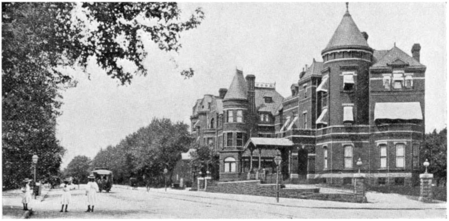
VIEW SHOWING HORSE CARS
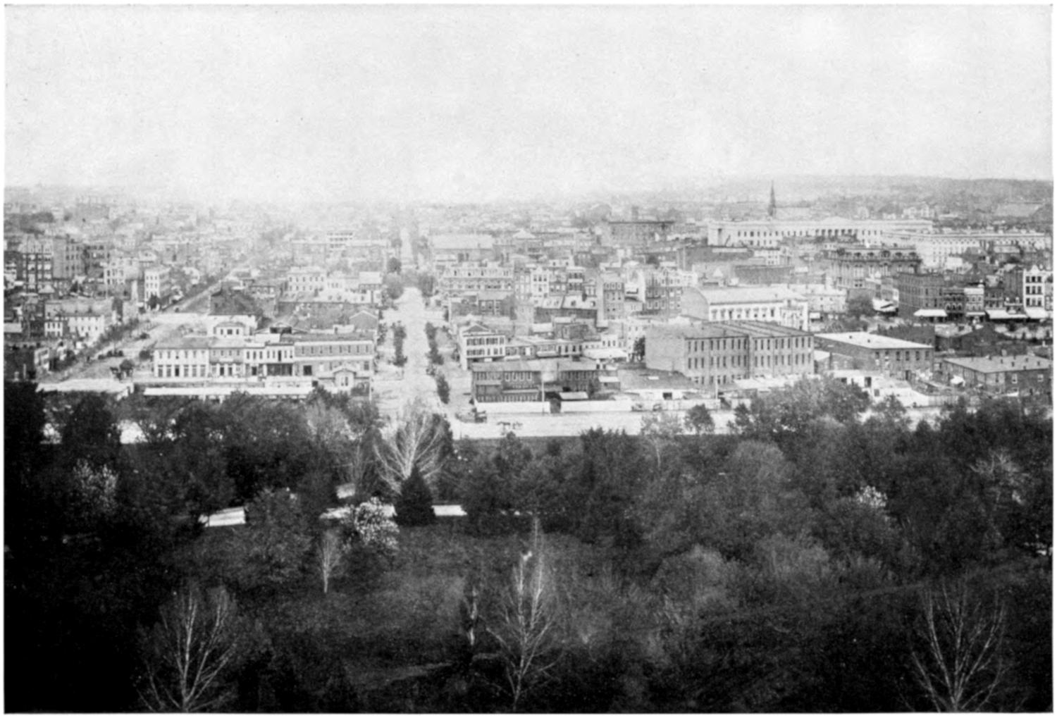
WASHINGTON, 1890
Great projects were placed under way for the development of the city. One
hundred and eighty of the 300 miles of half-made streets and avenues were improved,
and nearly all the thickly settled streets of the city were paved with
wood, concrete, or macadam; 128 miles of sidewalks were built and 3,000 gas
lamps were installed. A general and costly system of sewers was begun. Old
Tiber Creek was filled in, and the greatest nuisance of Washington thereby
put out of sight. Scores of new parks were graded, fenced, and planted with trees
and beautified by fountains. A special park commission was appointed for this
work. It planted 60,000 trees, and a movement was thus begun which has given
to Washington one of its most characteristic features. To-day there are 114,000
trees along street curbs because of the custom that has prevailed to plant trees
along curbs when new streets are opened for traffic. Many of the small triangles
for which Washington is noted were transformed from rubbish heaps into beautiful
reservations and planted with trees. There were soon more paved streets
here than in any other city of the country, and President Grant, in his message
to Congress, said, “Washington is rapidly becoming a city worthy of the
Nation’s Capital.”
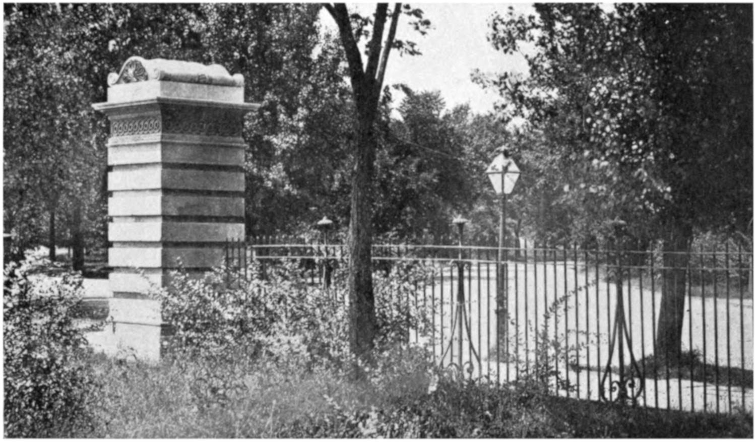
GATEPOST DESIGNED BY BULFINCH, NEAR THE CAPITOL
However, the public took issue with Governor Shepherd, whose drastic measures
paved the way for modern Washington. Bonds were issued to meet the
expenses incurred by these improvements, taxes piled up to the point of confiscation,
and Shepherd was banished from the city. Yet without the support of
President Grant it would have been impossible for Governor Shepherd to have
brought about those civic improvements for which he is remembered.
The Territorial form of government lasted three years, or until June 20, 1874,
when Congress provided that a new form of municipal government with three
commissioners appointed by the President, with the consent of the Senate, should
be established in the District of Columbia. This, known as the temporary form
of government, lasted until July 1, 1878, when the present form was established.
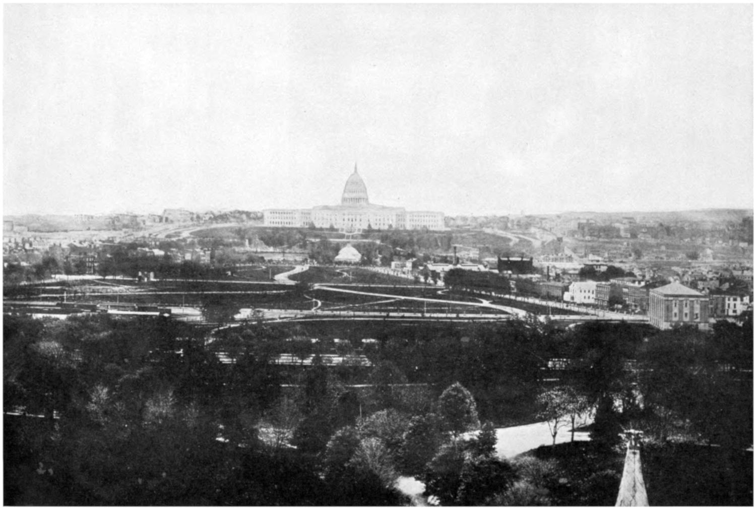
VIEW OF THE MALL ABOUT 1890
Chapter XII THE INFLUENCE OF THE CENTENNIAL CELEBRATION AND OF THE WORLD’S COLUMBIAN EXPOSITION ON ART IN THE UNITED STATES
The Centennial Exhibition of 1876 at Philadelphia marked a century of progress.
It aroused the country to its opportunities, after a period of lethargy and
unrest that followed the Civil War. A decade had elapsed since the end of that
terrible conflict, and a new day dawned. President Grant gave the people confidence
that he would guide the affairs of the Nation safely as their Chief Executive.
Industries were established, commerce and trade developed, and prosperity
followed. The Philadelphia Centennial of 1876 brought a sense of the
power of the United States in material resources, coupled with an admission
of poverty in the things of the spirit, and a determination to remedy shortcomings
in this respect. The people then turned their attention to the
finer things of life and became interested in erecting monuments and establishing
art galleries. Thus, the Corcoran Art Gallery, Washington, D. C., the Metropolitan
Museum in New York, and the Boston Museum of Fine Arts were
chartered about the time of the centennial celebration.
Again, in 1893, the World’s Columbian Exposition, Chicago, had a great effect
on art in the United States. It stirred the whole world by the production of
beautiful and impressive groups of buildings, so arranged and coordinated as to
create the sense of unity in the whole composition. The White City along the
shores of Lake Michigan still lives in the minds of many people to-day. The use
of landscape effects, of canals and basins, of statuary and paintings, all contributed
to impress the public and to lift people to new standards and ideals of achievement.
It marked the beginning of a new era of civic development. In Chicago, for the
first time, men saw the advantage of teamwork to produce a result finer than anything
before dreamed of. A number of the great artists in the United States
to-day served their apprenticeship during the preparation of the World’s Columbian
Exposition, Chicago. Several of the artists served on the decorations of
the Congressional Library, which was completed in 1897. A considerable
number of the beautiful creations in architecture and sculpture in Washington
during the past 35 years by great artists reflect the experience and inspiration
received during that period.
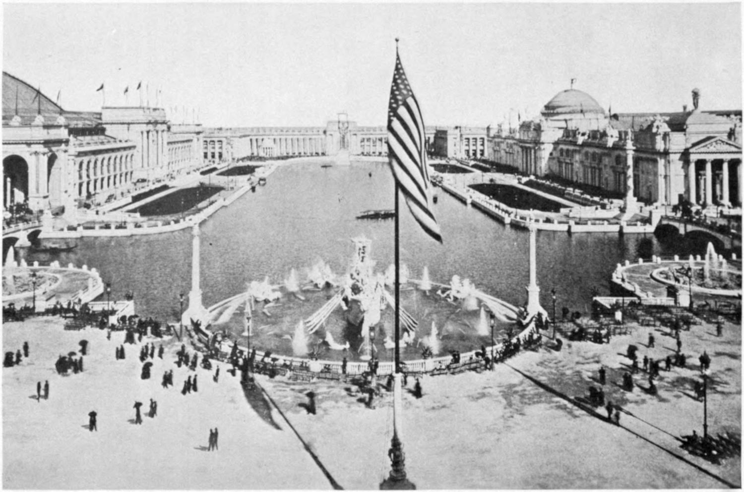
WORLD’S COLUMBIAN EXPOSITION, CHICAGO—COURT OF HONOR, LOOKING EAST
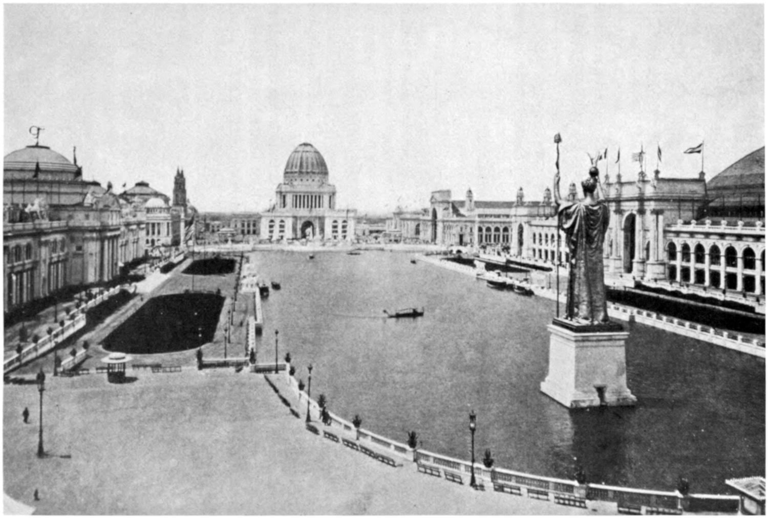
WORLD’S COLUMBIAN EXPOSITION, CHICAGO—COURT OF HONOR, LOOKING WEST
A most remarkable result of the aesthetic achievements of the World’s
Columbian Exposition was the influence it had on the architecture of several
national expositions which were held at the close of the nineteenth and the
beginning of the twentieth centuries. The first of these expositions was the
Trans-Mississippi Exposition, which was held at Omaha, Nebr., 1897-1898.
Several classical buildings were erected for it, as were erected also for the
Pan-American Exposition, held at Buffalo, N. Y., in 1901, to emphasize the
progress of Americans of the western continents during the nineteenth century.
Then followed the Louisiana Purchase Exposition, which ranks as the third great
World’s Fair held in this country in 1904, in celebration of the one hundredth
anniversary of the transfer of the Louisiana Territory by France to the United
States, during the administration of President Jefferson. It is significant that
as Thomas Jefferson had introduced the classical style of architecture into this
country, so at this Exposition most of the 15 largest buildings resembled in
character the classical buildings of the Chicago World’s Fair. The next exposition
in which architecture had an important part was the Alaska-Yukon
Pacific Exposition, held at Seattle, Wash., in 1909. Again the classical style
of architecture was emphasized, and, as at the Chicago Exposition, the buildings
had an ivory-white appearance. It was stated at the time:
The influences of an Exposition are of course many, but one of the most palpable influences of
our American expositions has been their power to stimulate a powerful interest in architecture
and building.
The beneficent influence of the Chicago World’s Fair on our architecture is of inestimable
value, not only for the architects but for the entire country. Many Americans owe their interest
in buildings and architecture to a visit to Chicago in 1893, just as many cities and towns recall in
their municipal and government structures the revival of classic splendor seen in the stucco palaces
of the World’s Fair.
The next exposition of importance was the Panama-Pacific Exposition at
San Francisco, Calif., held in 1915. In 1906 almost the entire central part of the
city had been destroyed by a frightful earthquake and fire. In less than a decade
the city was rebuilt, and by 1915 there had also been planned and constructed
the great Exposition. Its principal buildings were built in the classical style of
architecture.
Chapter XIII HIGHWAY PLAN OF THE DISTRICT OF COLUMBIA
The street-planning process has experienced several stages of development.
1. The narrow streets of Georgetown are typical of the first stage.
2. The wide avenues and streets of the area included in the L’Enfant plan
are appropriately referred to as outstanding proof of the value of proper planning.
The merit of this generous street plan was never more widely appreciated than
at present, when other cities are spending millions of dollars to have their streets
widened to meet traffic requirements.
3. The dark days of the National Capital, as far as its circulation system is
concerned, were those during which, outside the city planned by L’Enfant,
streets were dedicated without reference to any comprehensive plan. This
period was from about 1866 to 1893. The lack of authority to enforce a plan
allowed land-owners, insensible to the superior qualities of the L’Enfant scheme,
to do as they pleased. Prior to 1893 no city plan existed beyond the original
city limits. Streets could be created entirely at the will of the subdivider by
the simple recording of a plat, for there was no authority to control or coordinate
subdivisions. Sixteenth Street was blocked at Florida Avenue, just as
Seventeenth Street is today. Vermont, Connecticut, New Jersey, New Hampshire,
North Carolina, and Tennessee Avenues were ignored. Widths of important
streets were reduced, and a method of land subdivision came into vogue
wholly out of keeping with a capital city.
4. The reaction brought the so-called highway plan outside of the original
city limits of Washington and Georgetown. It was in effect an extension of
the plan of the original city to apply to all parts of the District of Columbia,
with such changes as were influenced by the topography. All subdivisions
subsequent to 1893 conform, by requirement of law, to this official plan. This
highway plan, first made effective in 1898, was a belated but praiseworthy
effort to extend the L’Enfant plan with its scheme of streets and avenues beyond
the old city. Considering the period in which it was prepared, and the state of
city-planning science at the time, it was a notable achievement. The work was
done by a board on street extensions, with a membership entirely ex officio,
known as the Highway Commission, established by the act of Congress of 1893.
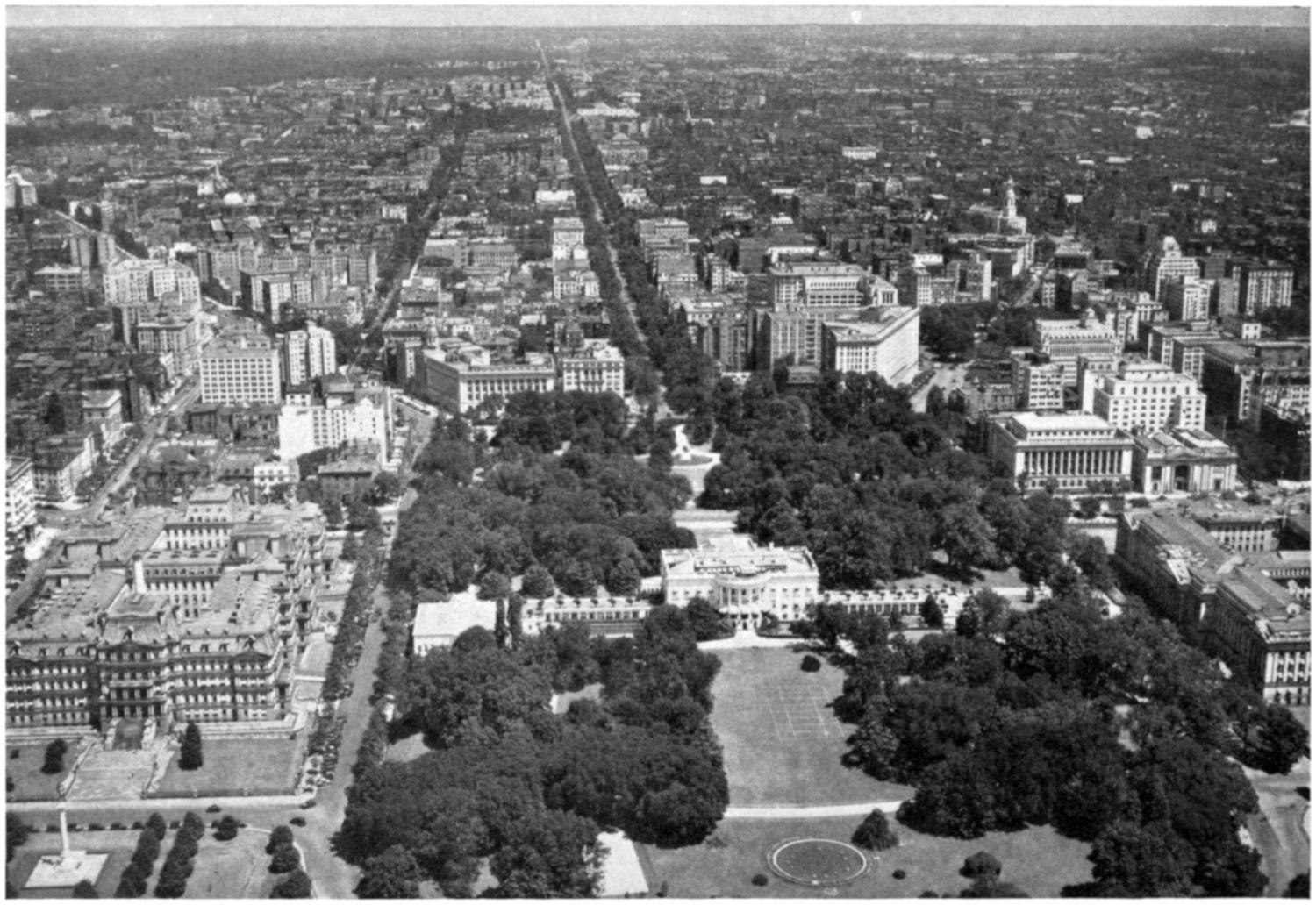
Courtesy Army Air Corps
WASHINGTON, LOOKING NORTH FROM THE WHITE HOUSE
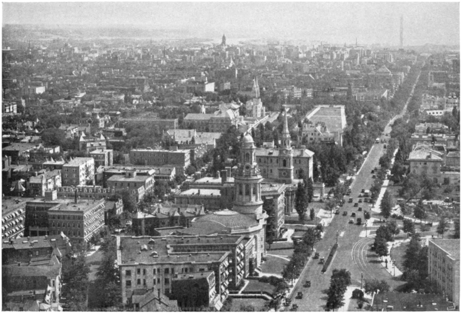
Courtesy Army Air Corps
WASHINGTON, LOOKING SOUTH FROM SIXTEENTH STREET AND COLUMBIA ROAD
5. Since then the Surveyor’s Office of the District of Columbia and the
National Capital Park and Planning Commission, which superseded the Highway
Commission of 1893, have made an intensive study of the highway problems
of the District of Columbia, including street railroad problems. This has
required a differentiation of street functions, and an application of the best
methods of modern land subdivision to the remaining undeveloped areas; also
an attempt to restate the L’Enfant ideal in the terms of a motor age. The results
achieved appear in the changes in the highway plan already approved by the
Commission or being recommended to the Commissioners of the District of
Columbia from time to time. Many changes in the highway plan have thus
been made, each case having required careful study of effects on topography,
trees, drainage, lot depths and sizes, etc. The acts of Congress of 1914 and 1925
authorized additional changes in the Highway Plan. The act approved December
15, 1932 (Public, No. 307, 72d Cong.), authorizes the Commissioners of the
District of Columbia “to readjust and close streets, roads, highways, or alleys
in the District of Columbia rendered useless or unnecessary.” The desirability
of discontinuing streets which have never been opened and which exist only on a
map and only part of which are in public ownership, when a better and cheaper
way of giving the same traffic connection can be found, seems so manifest as to
require no further justification.
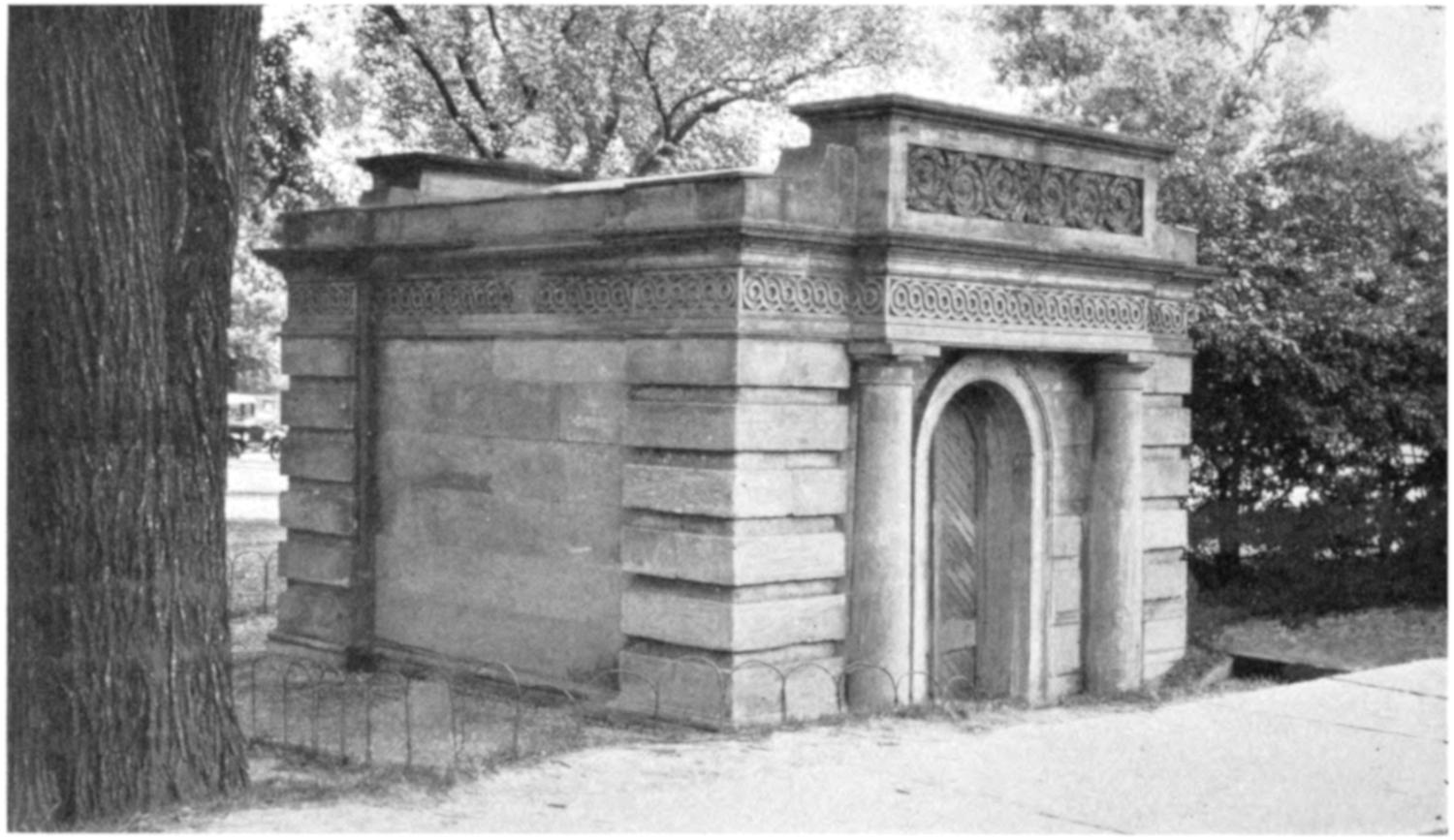
GATEHOUSE BY BULFINCH WHICH FORMERLY STOOD NEAR THE CAPITOL
With a view to creating direct arteries in which the vital traffic flow of the
community may freely move, a major thoroughfare scheme, extending into the
metropolitan area of Washington, has also been studied. The District Commissioners
have an interesting map illustrating the Highway Plan. The Highway
Department of the District of Columbia has charge of upkeep and maintenance
of highways in the District of Columbia. Out of 1,020 miles of streets in
the District of Columbia 855 miles are paved.
Chapter XIV THE McMILLAN PARK COMMISSION—THE PLAN OF 1901 — McMILLAN PARK COMMISSION — PLANS OF THE McMILLAN PARK COMMISSION — THE CAPITOL GROUP — THE HEAD OF THE MALL — DEVELOPMENT OF THE MALL — RESTORING THE MALL AXIS — EXTENDING THE MALL AXIS TO THE LINCOLN MEMORIAL
In 1900 a great celebration commemorating the one-hundredth anniversary
of the removal of the seat of government to the District of Columbia was held
in Washington. The keynote of the celebration was the improvement of the
District of Columbia in a manner and to the extent commensurate with the
dignity and the resources of the American Nation. The population was 218,196.
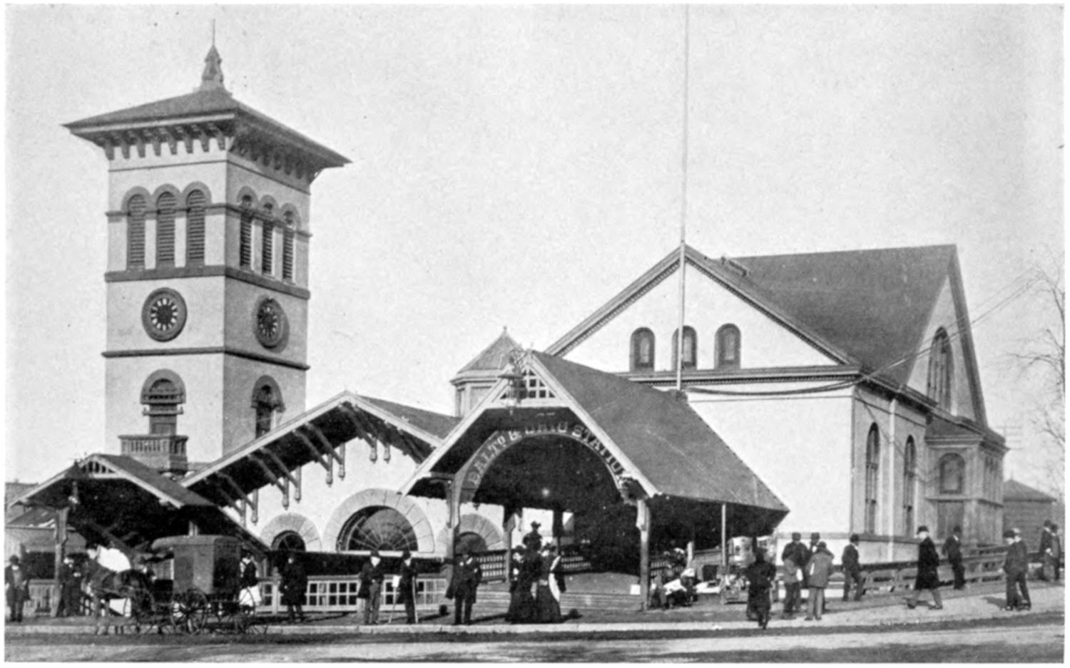
OLD BALTIMORE & OHIO RAILROAD STATION
While the centennial exercises were in progress the American Institute of
Architects, in session in Washington, discussed the subject of the development
of parks and the placing of public buildings; the tentative ideas of a number of
the leading architects, sculptors, and landscape architects of the country were
heard; and as a result the Institute appointed a committee on legislation. Consultations
between that committee and the Senate Committee on the District
of Columbia were followed by the order of the Senate for the preparation and
submission of a general plan for the development of the entire park system of
the District of Columbia.
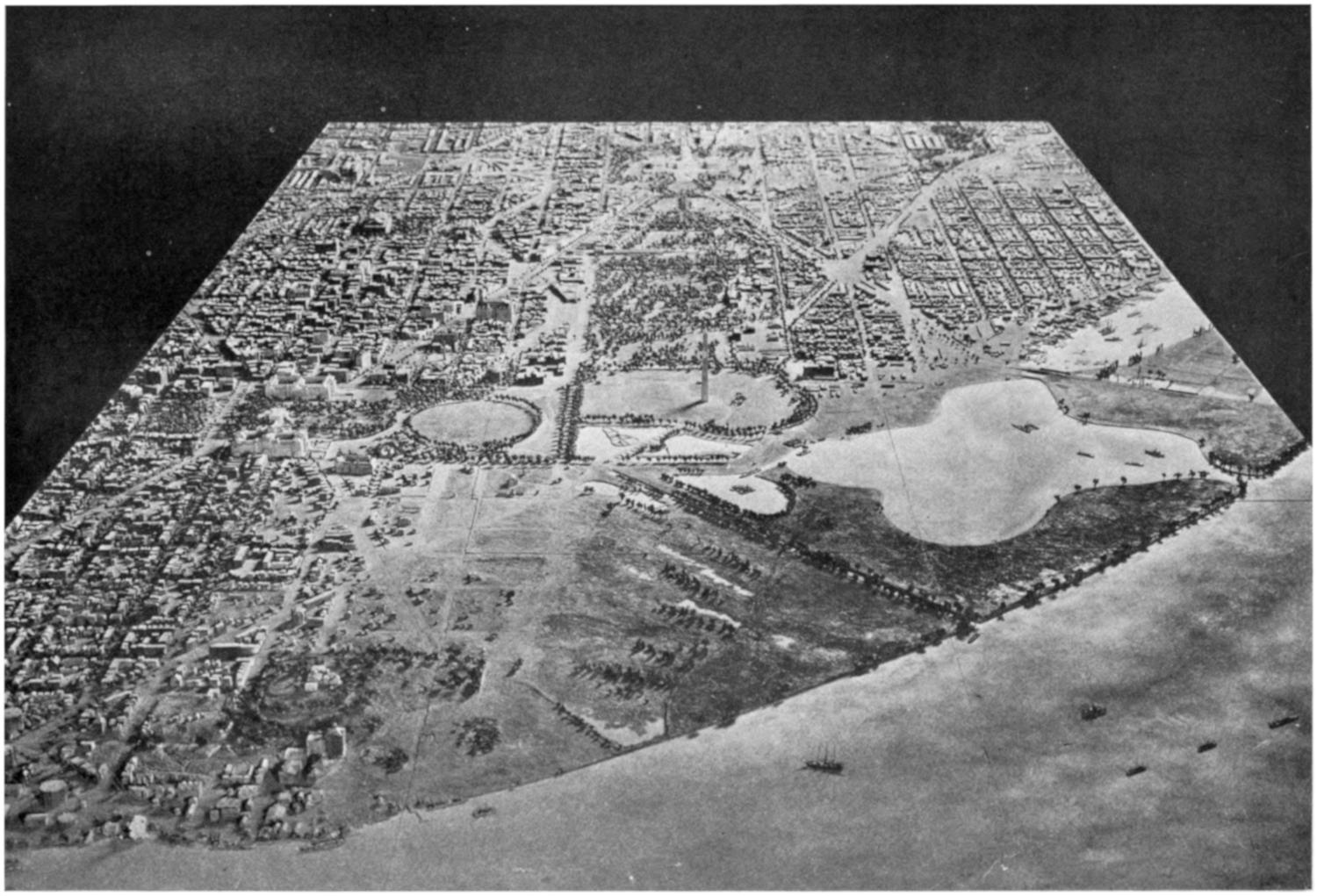
MODEL OF WASHINGTON SHOWING CONDITIONS IN 1901
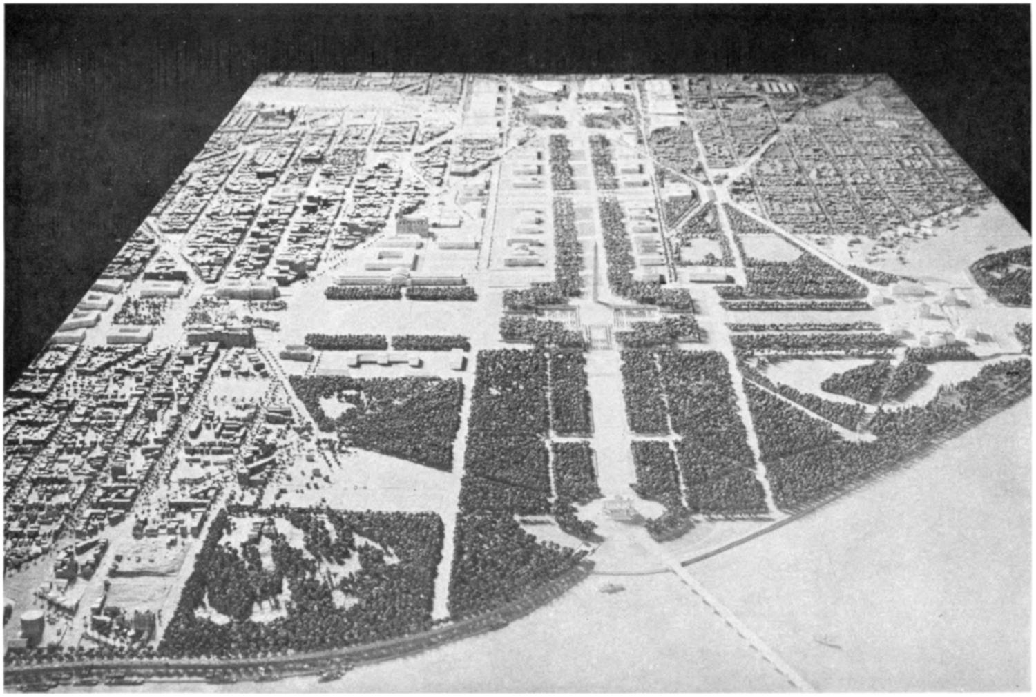
MODEL OF THE FUTURE WASHINGTON, PLAN OF 1901
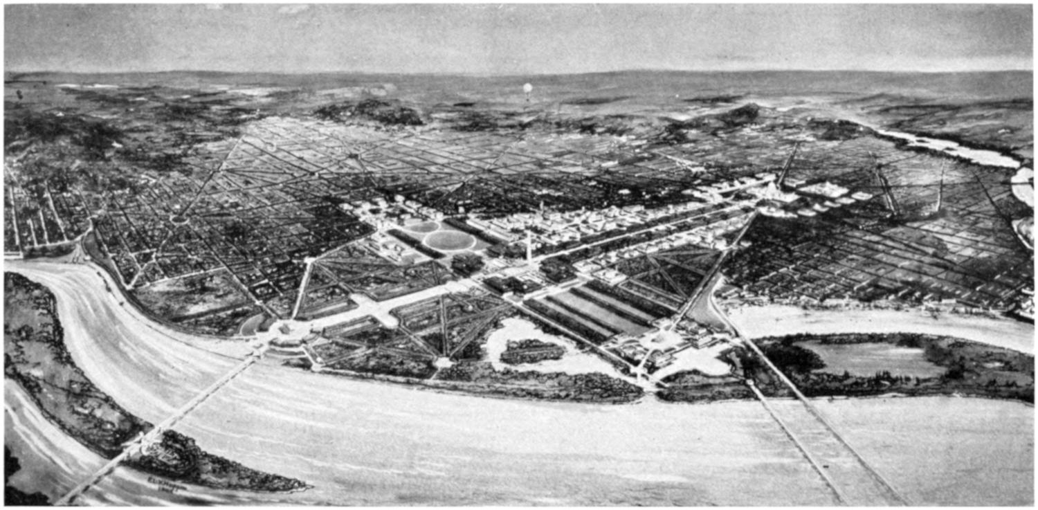
WASHINGTON, FROM ARLINGTON, PLAN OF 1901
Thus, Hon. James McMillan, of Michigan, chairman of the Senate Committee
on the District of Columbia, submitted the following resolution, which
was adopted by the United States Senate on March 8, 1901:
Resolved, That the Committee on the District of Columbia be, and it is hereby, directed to consider
the subject and report to the Senate plans for the development and improvement of the entire
park system of the District of Columbia. For the purpose of preparing such plans the committee
may sit during the recess of Congress and may secure the services of such experts as may be necessary
for a proper consideration of the subject. The expenses of such investigation shall be paid
from the contingent fund of the Senate.
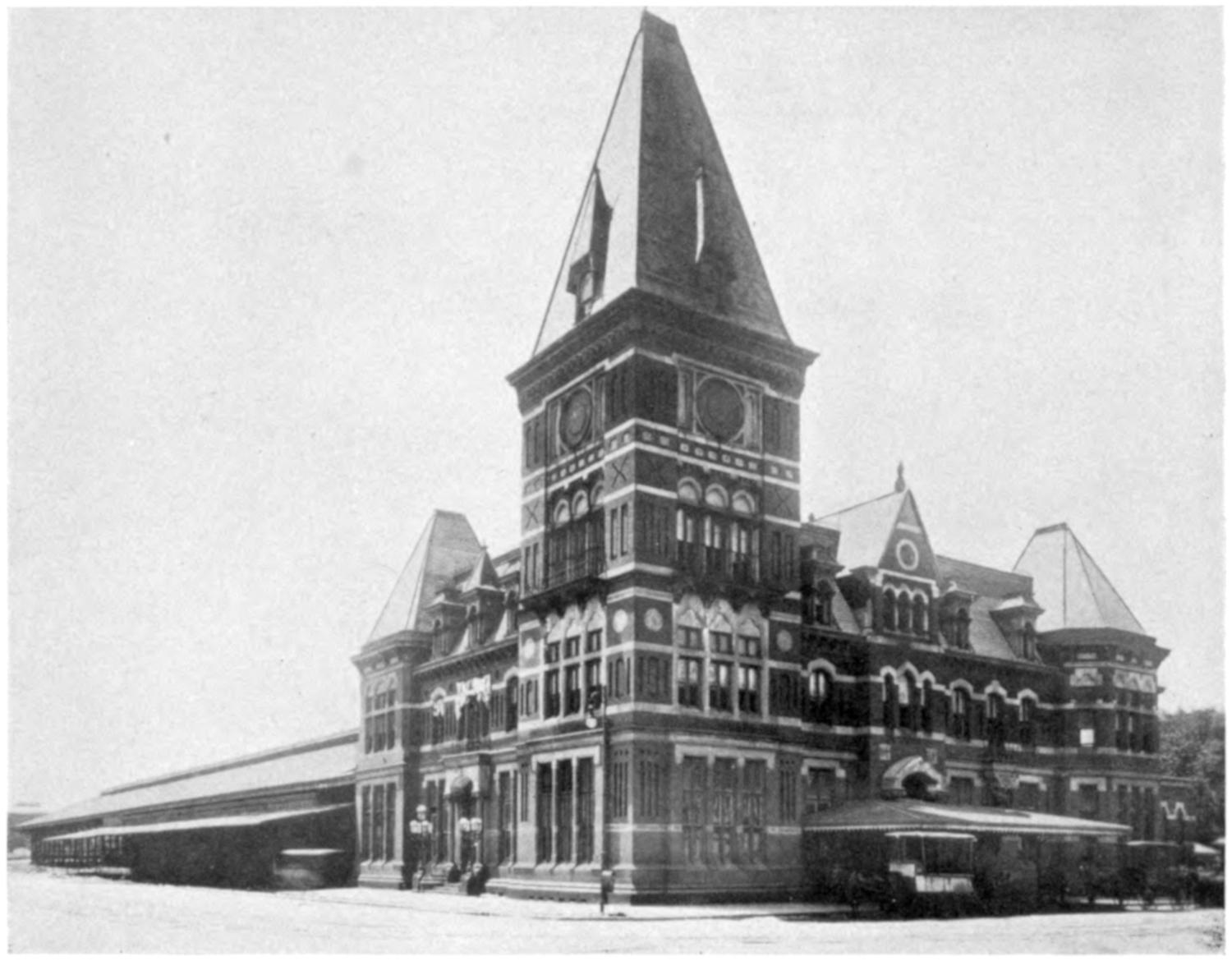
OLD PENNSYLVANIA RAILROAD STATION
On March 19, 1901, the subcommittee of the District Committee having the
matter in charge met the representatives of the American Institute of Architects
and agreed to their proposition that Daniel H. Burnham, architect, and Frederick
Law Olmsted, jr., landscape architect, be selected as experts, with power to add
to their number. These gentlemen accepted, and subsequently invited Charles
F. McKim, architect, and Augustus Saint-Gaudens, sculptor, to act with them
in the preparation of plans. The services of men who had won the very highest
places in their several professions had thus been secured.
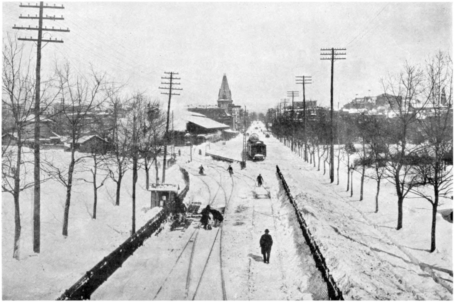
THE MALL, SHOWING RAILROAD TRACKS CROSSING IT
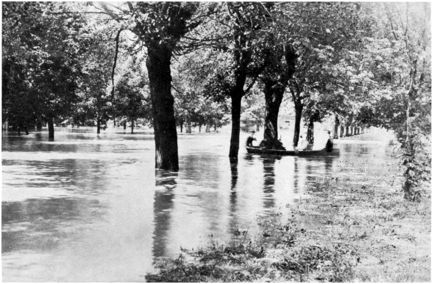
THE MALL INUNDATED
The nature and scope of the work having been outlined to the commission,
they entered upon their task, but not without hesitation and misgivings. The
problem was both difficult and complex. Much had to be done; much, also, had
to be undone. Also the aid and advice of the commission was sought immediately
in relation to buildings and memorials under consideration, and thus the importance
and usefulness of the commission were enhanced.
The commission, in order to make a closer study of the practice of landscape
architecture as applied to parks and public buildings, made a brief trip to Europe,
visiting Rome, Venice, Vienna, Budapest, Paris, London, and their suburbs. Attention
was directed principally to ascertaining what arrangement of park areas best
adapts them to the uses of the people and what are the elements that give pleasure
from generation to generation, and even from century to century. The many
and striking results of this study were given in the Park Commission Report,
including plans and illustrations. The Committee on the District of Columbia
submitted the report to the Senate on January 15, 1902. It was adopted and
ordered to be printed as Senate Report No. 166, Fifty-seventh Congress, first
session.
The members of the McMillan Park Commission were:
Daniel H. Burnham, architect, of Chicago. He became head of the firm of
Burnham & Root, one of the first great architectural firms of the country, and
later of D. H. Burnham & Co. Designer of many buildings, among them the Railway
Exchange and Marshall Field’s retail store in Chicago, and the Wanamaker
stores in New York and Philadelphia; in 1893 he became chief architect and director
of works of the World’s Columbian Exposition. Mr. Burnham was instrumental
in securing the adoption of a scheme of construction which placed that exhibition
in the very front rank of international exhibitions, and by the display of rare
executive ability he brought about and maintained the effective cooperation of the
architects and artists, who then and there gave to American art both a new
direction and a tremendous impetus. In 1901 he became chairman of the McMillan
Park Commission for beautifying the National Capital; in 1908 he built the Union
Station at Washington; in 1910 he became a member of the National Commission
of Fine Arts and its first chairman. He also laid out plans for Chicago, Cleveland,
and Manila. He died in 1912 while on a trip abroad.
Charles F. McKim, architect, of New York City, studied architecture at
Harvard University and at the École des Beaux Arts in Paris. He organized the
firm of McKim, Mead & White, architects, of New York City, who for half a
century have led the architectural profession in the design of classical buildings,
such as the Boston Public Library, Harvard University buildings, the Columbia
University Library, the Morgan Library, the Rhode Island Capitol, the Pennsylvania
Railroad Station in New York City, the restoration of the White House,
and are the architects of the Arlington Memorial Bridge. Mr. McKim, as a member
of the McMillan Park Commission, designed the Mall plan, and also made a
sketch for the Lincoln Memorial. Mr. McKim was president of the American
Institute of Architects in 1902 and 1903, and was instrumental in the purchase of
the Octagon House as the headquarters of the American Institute of Architects.
In 1903 he was awarded the royal gold medal given by King Edward VII for the
promotion of architecture. Mr. McKim was a champion of good architecture and
keenly interested in the development of the National Capital. He deplored the
appearance of the State, War, and Navy Building, and said he would find pleasure
during leisure hours in raking off the columns—a work that is contemplated in the
remodeling of the building as the State Department Building. He died in 1909.
Augustus Saint-Gaudens, sculptor, born in Dublin, Ireland, on March 1,
1848, came to the United States in infancy and learned the trade of a cameo
cutter. He studied drawing at the Cooper Institute in 1861, and in 1865 and 1866
was a student of the National Academy of Design. From 1867 to 1870 he studied
at the École des Beaux Arts in Paris. Mr. Saint-Gaudens was the greatest American
sculptor, and, indeed, one of the greatest of all time. His great works of art
are numerous and inspiring. Among them are The Puritan; the statue of
Abraham Lincoln, Chicago; the Farragut, the Peter Cooper, and the Sherman
Victory monuments in New York; the Shaw Memorial in Boston; the Amor
Caritas at the Luxembourg Gallery in Paris; and the celebrated Adams Memorial
in Rock Creek Cemetery, Washington. He also designed a $20 gold piece. As a
member of the McMillan Park Commission he wrote that part of the report pertaining
to Arlington National Cemetery and advised in the matter of location of
the Grant Memorial at the head of the Mall. He died in 1907.
Frederick Law Olmsted, landscape architect, from the time that he became
a member of the McMillan Park Commission of 1901 has given uninterrupted
service in the development of the National Capital. He was one of the original
members of the National Commission of Fine Arts, appointed in 1910, and served
as landscape architect member until 1918. From 1924 he served as landscape
architect member of the National Capital Park and Planning Commission. Mr.
Olmsted was president of the American Society of Landscape Architects and from
its organization in 1907 a member of the National Conference on City Planning.
His father laid out Central Park, New York City, about 1858 (2,300 men were
employed on it in September of that year), and in 1872 he prepared the landscape
plan for the United States Capitol Grounds as they have existed since then.
Mr. Olmsted and his firm have in more recent years laid out the Metropolitan
Park System of Boston, the Vanderbilt Estate in North Carolina, the Baltimore
Park System, and Redondo Beach, Los Angeles County, Calif. The smaller park
areas which Mr. Olmsted has designed are too numerous to mention.
Charles Moore has devoted fully 50 years to the development of the National
Capital, and is a former chairman of the National Commission of Fine Arts.
Mr. Moore was for many years clerk to the Senate Committee on the District of
Columbia, rendering most valuable service to the committee, of which Senator
McMillan was chairman, as well as to the National Capital. The reports on
the elimination of grade crossings in the District of Columbia and on the charitable
institutions of the District of Columbia, as well as the Park Commission
Report of 1901, are memorable documents of that period which were largely prepared
by him. His influence has always been strong with Members of Congress
in favor of the development of the District of Columbia upon a noble scale. His
appointment as one of the original members of the National Commission of Fine
Arts was a fitting recognition not only of past services but of his preeminent
qualifications to pass upon subjects relating to the beautification of the National
Capital. He was chairman from 1915 to 1937. Mr. Moore also helped prepare the
plan of Chicago. He is the author of a number of books, among them being Under
Three Flags, the Life of Daniel H. Burnham, the Life of Charles F. McKim, the
Family Life of George Washington, Washington Past and Present; and has
contributed also innumerable articles to magazines in the course of the years.
The plans prepared by the McMillan Park Commission and submitted, with
its report, to the Senate, constituted the first and most notable proposal for
grouping of public buildings ever put forward in the United States. The outlying
sections of the District of Columbia were studied in relation to a system of
parks, both large and small areas being indicated; the most convenient and the
most picturesque connections between the various parks were mapped; the individual
treatment which each important park should undergo was recommended;
an extension of the park system to Great Falls and to Mount Vernon was discussed.
Primarily, however, the development of the Mall received detailed and
elaborate treatment, and the location of new public buildings, whether legislative,
executive, or municipal in character, was arranged according to a rational
system of grouping; and those memorials which mark distinct epochs in our
national history were brought into harmonious relation with the general scheme
of development.
As a result of this study, the desirability of making every considerable undertaking
within the District of Columbia a part of a general plan was made evident,
so that each undertaking should contribute its part to enhancing the value of the
whole; and no undertaking would be allowed to invade, to mutilate, or to mar
the symmetry, simplicity, and dignity of the one great composition designed to
comprehend the entire area.
In working out the plans the park commission found it necessary to have prepared
two models, one showing the existing disturbed conditions in the section
from the Library of Congress westward to the Potomac, and the other showing
the arrangement proposed. These models, constructed with the utmost attention
to the details of topography by George C. Curtis, were accurate maps of the section
they so graphically depicted, and served as guides in carrying the plans to
completion. To present in graphic fashion particular features of the plans, the
accurate architectural drawings were rendered in color by leading artists, and by
means of these pictures a clear and distinct idea of the completed work was
obtained.
One of the greatest obstacles to a restoration of the Mall as provided for in
the L’Enfant plan was the fact that since 1872 the Mall had been occupied by
railroad tracks, the board of aldermen and the board of common council having
on March 20, 1871, granted the Mall site to the Baltimore Potomac Railroad
Co., later the Pennsylvania Railroad Co., which action was confirmed by act of
Congress May 21, 1872. The Mall was then no better than a common pasture.
The railroad had taken the place of the canal, which it paralleled, and held the
right to use the property by a title good in law and in equity; also by virtue of an
act of Congress adopted in 1890 the railroad space had been enlarged, in consideration
of the surrender of street trackage and the proposed elevation of the tracks
within the city of Washington.
It so happened that the chairman of the commission, Mr. Burnham, was the
architect of the new Pennsylvania Railroad Station at Pittsburgh, and he had also
drawn for the Pennsylvania Railroad Co. the preliminary plans for the Baltimore
& Potomac Railroad Station in Washington. After consultation, Mr. Burnham
proposed to the president of the Pennsylvania Railroad Co. that the station be
built on the south side of the Mall and the adjoining lands; and, while the matter
received serious consideration, no action was taken. It was during the stay of the
commission in London that President Cassatt announced to Mr. Burnham his
willingness to consider the question, not of moving the Baltimore & Potomac
Railroad Station to the south side of the Mall but of withdrawing altogether
from that region and uniting with the Baltimore & Ohio Railroad Co. in the
erection of a union station on the site established by legislation for the new
depot of that road, provided suitable legislation be secured to make compensation
for the increased expense such a change would involve, and provided, also, that
the approaches to the new site be made worthy of the building the railroads proposed
to erect.
Subsequent examination convinced the commission that from an esthetic
standpoint there were insuperable objections to the depot site provided by law;
the chief objection being that were the station to front on C Street a train shed
800 feet long would be thrown across Massachusetts Avenue, one of the great
thoroughfares of the city. Not only would the vista be blocked by a commercial
building, but also the street would be carried underneath this enormous structure
in a tunnel so long as to cause the avenue to be avoided by traffic. The commission
thereupon proposed a site fronting on Massachusetts Avenue, and that was
the one adopted for the Union Station. The plans called for a station 8 feet and
8 inches longer than the Capitol, the building to be of white marble, the façade
Roman in style of architecture, and the construction and arrangements so planned
as to make this station superior to any structure ever erected for railway purposes.
Facing the Capitol, and yet not too near that building, the new station was designed
to front upon a plaza 600 feet in width and 1,200 feet in length, where bodies of
troops or large organizations could be formed during inaugural times or on other
like occasions. Thus located and so constructed, the Union Station makes a great
and impressive gateway to Washington.
In considering the views of the commission, and in reaching his decision, the
president of the Pennsylvania Railroad Co. looked at the matter from the standpoint
of an American citizen, saying in substance that he appreciated the fact that
if Congress intended to make of the Mall what the founders of the city intended
it to be, no railroad should be allowed to cross it, and that he was willing to vacate
the space provided the matter could be arranged without sacrificing the interests
of the stockholders of the Pennsylvania Railroad Co. This conditional consent
on the part of the railroad, which was later agreed to by Congress, removed the
one great obstacle to the preparation of adequate plans for the improvement of the
city. Lesser obstacles, such as the lack of surveys of the oldest parks in the District
and the difficulties of getting together the widely scattered data, were surmounted.
On the other hand, the work was much lightened by the excellent
topographical maps of the District outside of the city prepared by the Coast and
Geodetic Survey.
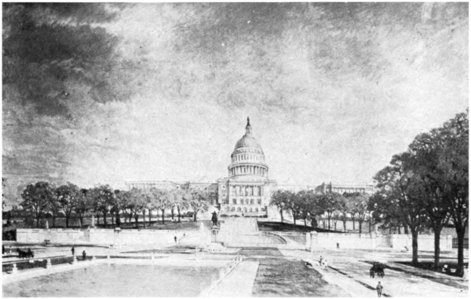
TREATMENT FOR AREA WEST OF THE CAPITOL, PLAN OF 1901
Naturally the plan of 1901 began at the Capitol. It was recommended that
the chief legislative building of the Nation be surrounded by structures dependent
on or supplementary to legislative work. The Library of Congress had been
completed in 1897. The enjoyment and satisfaction taken in the Library by the
thousands of persons from all parts of the country who visit it daily is an indication
of the manner in which the American people regard the upbuilding of their
Capital. Since the Library Building was designed we have learned lessons of
subordination in grouping (as shown in the Senate and House Office Buildings
and in the Union Station), and also of restraint in decoration; but the Library
contains individual work of the leading painters and sculptors of its era.
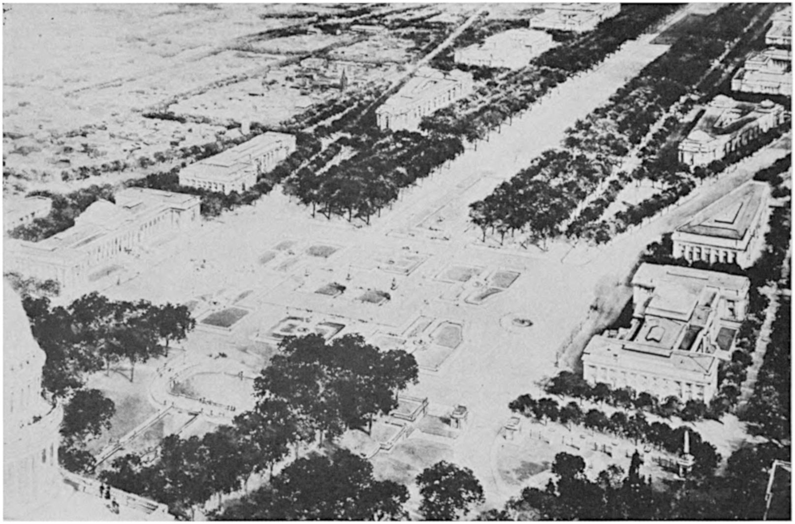
UNION SQUARE, PLAN OF 1901
The idea of office buildings for the Members of the Senate and the House of
Representatives was in mind when the plan was being made, and therefore the
areas these buildings would naturally occupy were marked. The three buildings
were designed and constructed in such manner as to make them an integral
part of the Capitol group. Simple, elegant, and dignified, the Senate and House
of Representatives Office Buildings carry on the great tradition established by
Washington and Jefferson in the selection of the Thornton design for the original
building, and persistently maintained by President Fillmore in the extension of
the Capitol by Thomas U. Walter.
By common consent the remaining space facing the Capitol on the east was
assigned to a building for the Supreme Court of the United States, which since
the removal of the seat of government to the District of Columbia in 1800 occupied
the same building with the Congress.
On the south below the House of Representatives Office Buildings the frontage
is occupied by nondescript buildings, all undignified and unsightly. The
obvious use of this land is building sites and house gardens to balance Union
Station Plaza on the north. This also is a project for the future.
The area directly west of the Capitol grounds was marked on the L’Enfant map
as an open plaza, affording an approach to that building similar to the one on the
east. Owing to the slow development of Washington the west front underwent
various vicissitudes. The Baltimore & Ohio Railroad Co. tracks once were located
about on a line with the Peace and Garfield Monuments. The Botanic Garden
area was reclaimed from an alder swamp, and the James Creek Canal wound its
way through it. A quarter of a century ago the House passed a bill for the
removal of the Botanic Garden fence, with the view of giving the public access to
that park in the same manner that other parks are open.
The plan of 1901 aimed to restore this area to its intended uses as a broad
thoroughfare so enriched with parterres as to form an organic connection between
the Capitol Grounds and the Mall. Anticipating the improvement of this square,
named Union Square, as outlined in the plan, Congress located therein the memorial
to General Grant, the base of which was designed to be used as a reviewing
stand, and later a site in the same area was designated for the monument to
General Meade. The Grant Memorial was completed a number of years ago, the
Meade Monument is also in place, and the Botanic Garden has been relocated
south of Maryland Avenue, near the Capitol. The new plan for Union Square
as carried out, was made by Frederick Law Olmsted in 1935.
That section of the Mall between Third and Four-and-a-half Streets has
been laid out and planted with elms in accordance with the plan of 1901, and
Congress has provided for putting in the roadways. The temporary buildings in
the Mall were so located that upon removal the roadways will be in accordance
with the Mall plan, and as fast as the buildings are razed the planting of trees can
be made. The space between Four-and-a-half and Sixth Streets was so improved
and restored during the fiscal year beginning July 1, 1921.
Congress has authorized the occupation of the north side of the Mall between
Third and Seventh Streets (former site of the Pennsylvania Station) by the
National Gallery of Art, designed by John Russell Pope. Plans for the building
approved by the Commission of Fine Arts are classical in style of architecture.
Auditoriums, both large and small, designed for the uses of conventions,
inaugural exercises, and meetings of patriotic societies are among the prime
necessities of Washington. Such gathering places would meet governmental and
semipublic needs and be advantageous to the growth of American feeling.
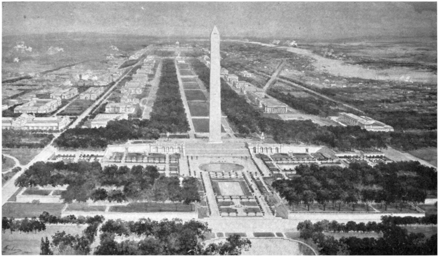
MALL AND MONUMENT GARDENS, PLAN OF 1901
The space between Third and Seventh Streets, on the south side of the Mall
is being considered for the Smithsonian Gallery of Art, authorized by Congress,
to house the collections of works of art that have been given to the Nation.
The planting and roadways continuous with those already in place on the Mall
can then be put in.
The new National Museum Building was the first structure to be located and
erected according to the plan of 1901, having been aligned in conformity to the
new Mall axis. On the south side of the Mall the new Freer Gallery also conforms
to the revised axis. This gallery is a constituent portion of the National
Gallery of Art. It represents one of the largest gifts ever made by an individual
to the Government. Although comparatively small in extent, both the building
itself and the collections now being arranged within it represent the very highest
standards of art. Moreover, the Freer Gallery is a type of the small, adequately
housed, and well-endowed gallery which doubtless will be established from time
to time by private individuals and given to the Nation to be administered by the
Smithsonian Institution for the instruction and gratification of the people.
The section of the Mall between Twelfth and Fourteenth Streets is occupied
by the Department of Agriculture. The location of the two wings of the building
designed to accommodate the administrative offices of the department precipitated
a contest, on the result of which depended the fate of the plan of 1901. It
was due to the firm stand taken by President Roosevelt and Secretary of War
Taft that the location was made in accordance with the plan. That crisis having
been met satisfactorily, the future of the Mall scheme was assured, and since then
the plan for park connection between the Capitol and the White House has
become an established fact.
While L’Enfant had planned a driveway through the center of the Mall, the
Mall Plan of 1901 consists of an expanse of undulating green park, a mile in
length and 300 feet wide, extending from the Capitol to the Monument. This
central green space is bordered by park roads, flanked by four rows of American
elms, under the shade of which are walks and resting places. Back of these rows
of trees are other roads furnishing access to public buildings like the National
Museum, the Department of Agriculture Building, the Freer Gallery, and the
National Gallery of Art, which have been located according to the plan.
According to the L’Enfant plan the Monument to George Washington was
to be located at the point where a line drawn due west from the center of the
Capitol would intersect a line drawn due south from the center of the White
House. On these axial relations the Mall composition depended for its effect.
The builders of the Washington Monument, despairing of securing adequate
foundations in the lowlands at the intersection of the main and the cross axes,
located the Monument without regard to points fixed in the plan. Feeling the
absolute necessity of restoring these relationships, the Park Commission boldly
determined to create a new main axis by drawing a line from the Capitol Dome
through the Washington Monument and prolonging it to the shore of the Potomac,
where they proposed, on the then unimproved lands dredged from the river
to form Potomac Park, a site for a new memorial. Here they placed the long-contemplated
memorial to Abraham Lincoln. This they did with full comprehension
of the fact that by common consent Lincoln is the one man in the history
of this Nation worthy to stand with Washington in the great central composition.
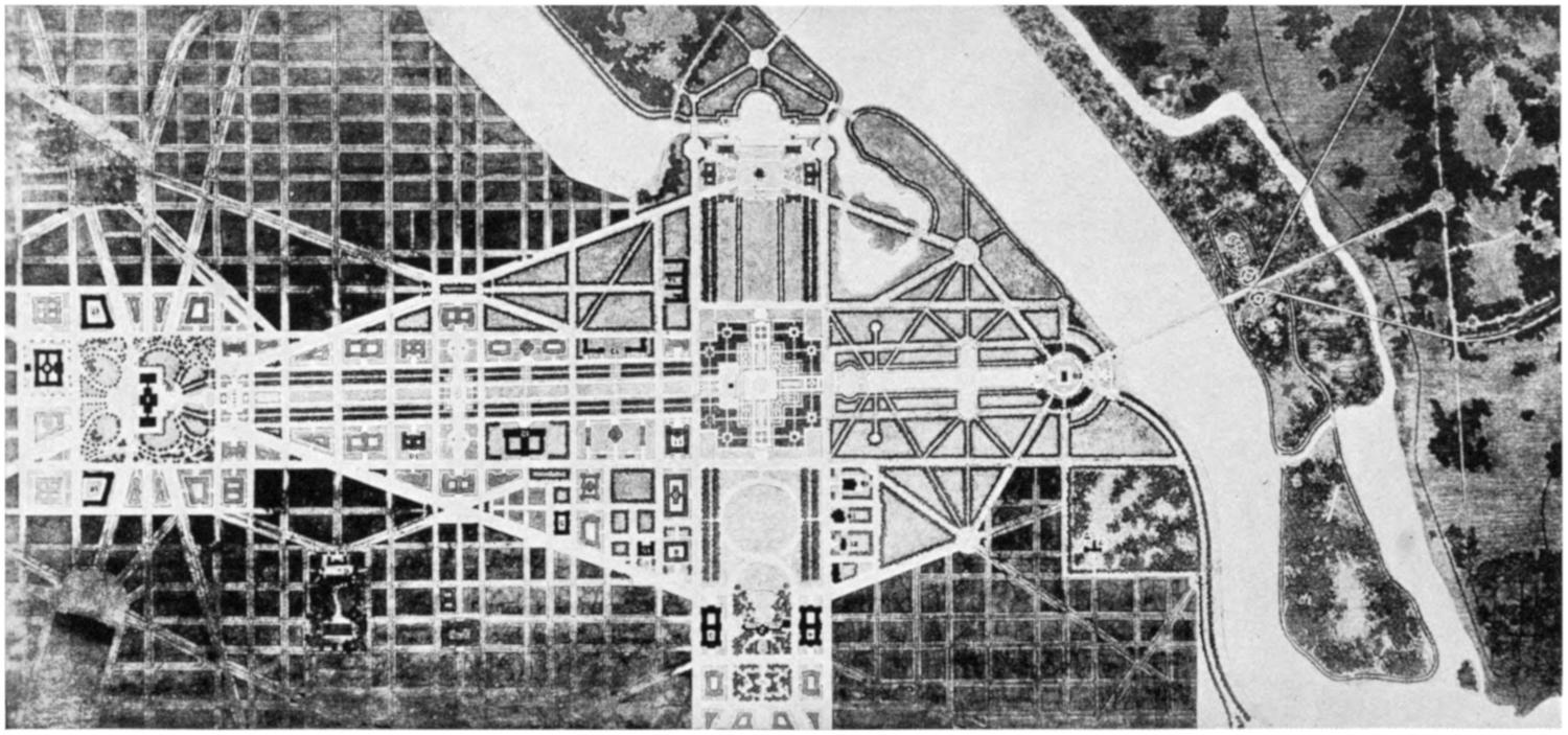
PLAN OF THE MALL
The original intersection had been marked by Thomas Jefferson by a small
monument known as the Jefferson Pier. In the McMillan Park Commission plan
of 1901 this pier is indicated by a circular pool. That commission, as has been
said, restored the cross axis of the Mall, and from the Mall plan of 1901 by actual
measurement the Washington Monument is 371.6 feet east of the north and
south axis of the White House, and 123.17 feet south of the Capitol axis.
While this location of the Lincoln Memorial commended itself to men like
Theodore Roosevelt, John Hay, Elihu Root, and William H. Taft, it was opposed
by many others, who had regard to the immediate future and who did not consider
either the historical significance of the situation or the prospective development
of Potomac Park, then far from the more populous parts of the city and thus
seemingly isolated and remote. The struggle over this location, and indeed over
any memorial of an ideal character, was long and bitter. Nor was it ended during
the lifetime of Mr. McKim and Mr. Saint-Gaudens. Happily, however, the result
was determined in accordance with the commission plan, and to-day no other site
seems possible. This was a distinct victory for the plan, virtually insuring the
realization of the large scheme as laid out in 1901.
The Park Commission wrote as follows:
From the Monument garden westward a canal 3,600 feet long and 200 feet wide, with central
arms and bordered by stretches of green walled with trees, leads to a concourse raised to the height
of the Monument platform. Seen from the Monument this canal, similar in character to the canals
at Versailles and Fontainebleau in France and Hampton Court in England, introduces into the
formal landscape an element of repose and great beauty. At the head of the canal a great rond-point,
placed on the main axis of the Capitol and the Monument, becomes a gate of approach to the park
system of the District of Columbia. Centering upon it as a great point of reunion are the drives
leading southeast to Potomac Park and northwest by the Riverside Drive to the Rock Creek system
of parks. From this elevation of 40 feet the Memorial Bridge leads across the Potomac directly to
the base of the hill crowned by the mansion house of Arlington.
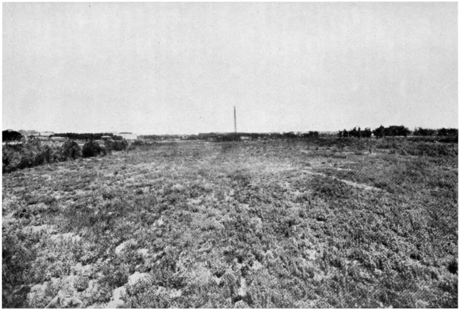
SITE OF THE LINCOLN MEMORIAL, 1901
Crowning the rond-point, as the Arc de Triomphe crowns the Place de l’Etoile at Paris, should
stand a memorial erected to the memory of that one man in our history as a nation who is worthy
to stand with George Washington—Abraham Lincoln. Whatever may be the exact form selected
for the memorial to Lincoln, in form it should possess the quality of universality, and also it should
have a character essentially distinct from that of any other monument either now existing in the
District or hereafter to be erected. The type which the commission has in mind is a great portico
of Doric columns rising from an unbroken stylobate.
The foregoing recommendations were among the fundamentals of the plan of
1901. Ten years were required to embody them in legislation. To-day the Lincoln
Memorial and the Arlington Memorial Bridge are completed along the general
lines suggested.
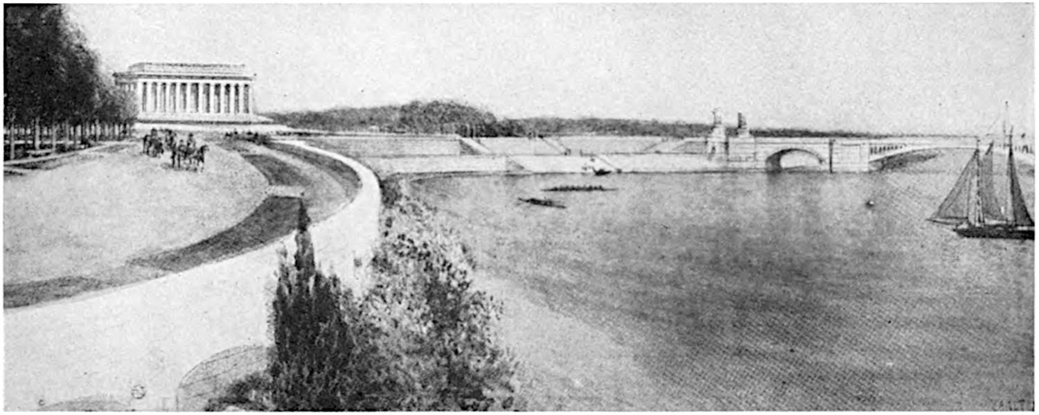
THE LINCOLN MEMORIAL, MEMORIAL BRIDGE, AND RIVERSIDE DRIVE, PLAN OF 1901
There are many other features of the McMillan plan that the report of 1901
describes to which attention is called in the subsequent pages of this volume;
thus there is the Rock Creek Parkway, the Anacostia Park development, the Fort
Drive, the parkway along the Palisades of the Potomac to Great Falls, and the
Mount Vernon Highway. The plans for these projects required authorization
by Congress and time to make necessary land purchases; but at the present time
there is indication that they will be completed in the near future. The day has
come when the Greater Washington, or the metropolitan area of Washington, is
being brought into the scheme of development of the National Capital.
The plan of 1901 reasserted the authority of the original plan of L’Enfant,
extended to meet the needs of the Nation after a century of growth in power,
wealth, and dignity, and also marked the path for future development.
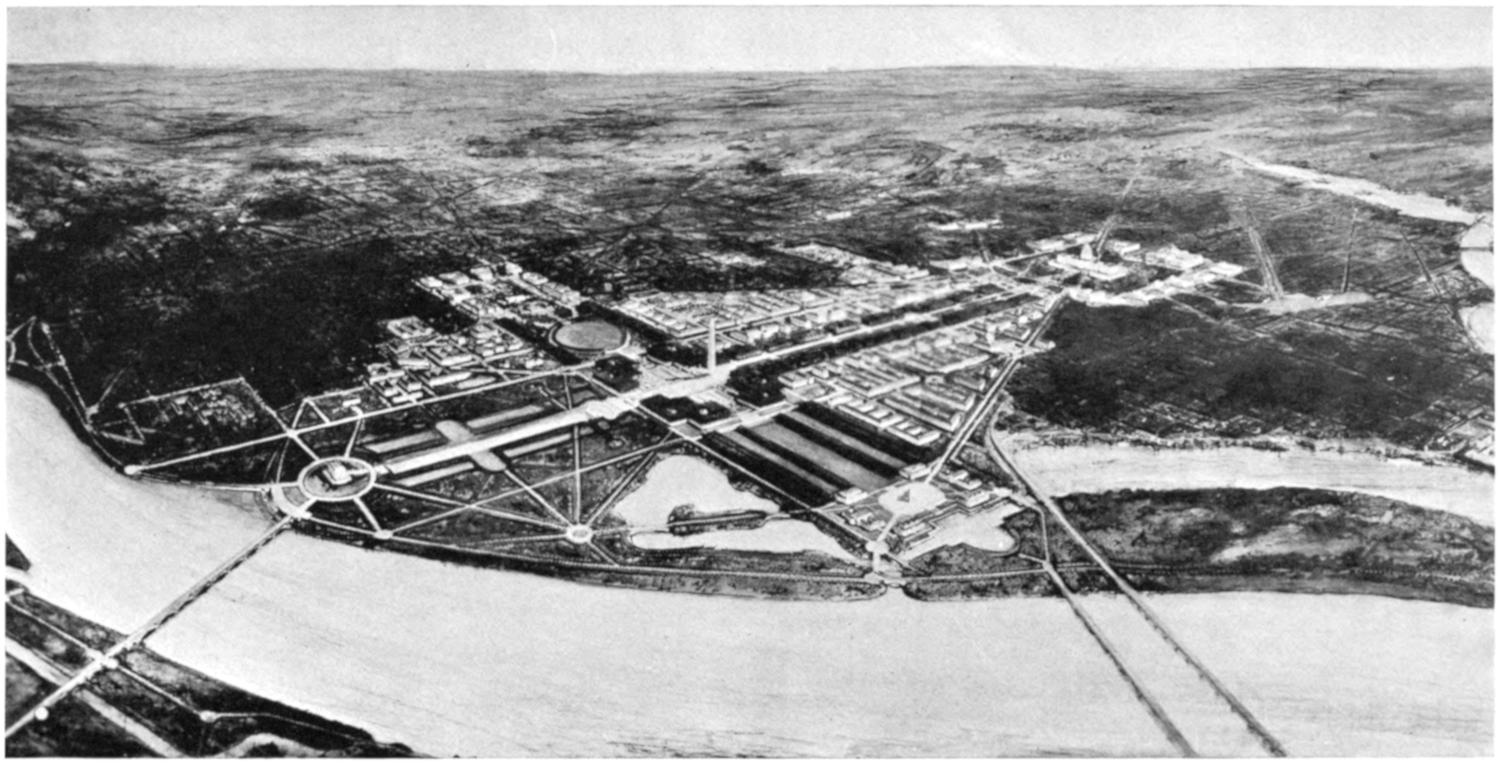
THE FUTURE WASHINGTON
Chapter XV NATIONAL COMMISSION OF FINE ARTS
Immediately after abolishing the Council of Fine Arts President Taft undertook
to interest Congress in the establishment of a permanent Commission of
Fine Arts. A bill was accordingly presented in the United States Senate by
Hon. Elihu Root. In the House of Representatives the bill was sponsored by
Hon. Samuel W. McCall. Various amendments were made to the measure in
both the Senate and House of Representatives and it was finally adopted by the
act approved May 17, 1910, as follows:
Be it enacted by the Senate and House of Representatives of the United States of America in
Congress assembled, That a permanent Commission of Fine Arts is hereby created to be composed
of seven well-qualified judges of the fine arts, who shall be appointed by the President, and shall
serve for a period of four years each, and until their successors are appointed and qualified. The
President shall have authority to fill all vacancies. It shall be the duty of such Commission to
advise upon the location of statues, fountains, and monuments in the public squares, streets, and
parks in the District of Columbia, and upon the selection of models for statues, fountains, and
monuments, erected under the authority of the United States and upon the selection of artists for
the execution of the same. It shall be the duty of the officers charged by law to determine such
questions in each case to call for such advice. The foregoing provisions of this act shall not apply
to the Capitol Building of the United States and the building of the Library of Congress. The
Commission shall also advise generally upon questions of art when required to do so by the President,
or by any committee of either House of Congress. Said Commission shall have a secretary
and such other assistance as the Commission may authorize, and the members of the Commission
shall each be paid actual expenses in going to and returning from Washington to attend the
meetings of said Commission and while attending the same.
Sec. 2. That to meet the expenses made necessary by this act an expenditure of not exceeding
$10,000 a year is hereby authorized.
The duties of the Commission of Fine Arts have been enlarged since then
from time to time by Executive orders. Congress has also stipulated in many
recent enactments that the plans for certain designated buildings, monuments,
etc., must be approved by the Commission before they can be accepted by the
Government. The act of May 16, 1930, gives the Commission control over certain
portions of the District of Columbia in the matter of private buildings,
under what is known as the Shipstead-Luce Act. Reports are published
periodically.
The duties of the Commission, therefore, now embrace not only advising upon
the location of statues, fountains, and monuments in the public squares, streets,
and parks in the District of Columbia, etc., but in fact all questions involving
matters of art with which the Federal Government is concerned.
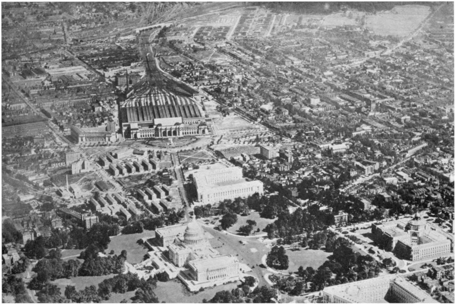
CAPITOL GROUNDS AND UNION STATION PLAZA, 1917
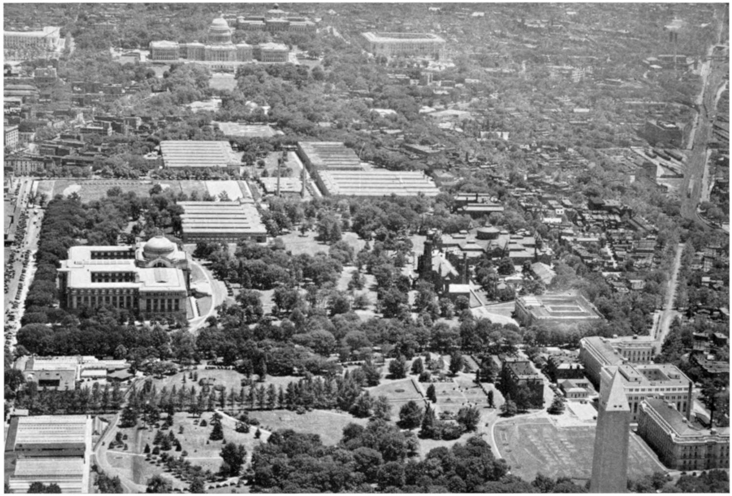
THE MALL, 1930
The Commission has been in existence 29 years, during which time many
great artists of this country have served as its members. The membership comprises
three architects, a sculptor, a painter, a landscape architect, and a lay
member. Congress permits the Commission to hold meetings, including committee
meetings, both in and outside of the District of Columbia, thus enabling
it to give attention to works of art in any part of the country in which the
Government is interested. A meeting of the Commission is usually held in
Washington each month, where the public-buildings program and other great
projects under way for the development of the National Capital are requiring
its particular attention.
In the work of the Commission of Fine Arts we see the splendid results
achieved through the collaboration of architects, sculptors, painters, and landscape
architects. The Commission exists primarily to serve the Congress and
its committees, the President, and the heads of the Government Departments.
There are exceptional cases when the Commission of Fine Arts is called upon
to advise with reference to fine arts projects submitted by individuals. The
Commission aims to maintain standards of taste. The members themselves are
prominent in their respective professions and are “well-qualified judges of the
fine arts.”
Prior to the establishment of the Commission of Fine Arts it was the practice
of Congress when legislation was enacted providing for a public building, a
monument, or other work of art to authorize the appointment of a committee to
advise it concerning the specific fine arts project. Such a committee was as a
rule composed of laymen, unqualified to give advice on matters of art. Thereupon
money was appropriated to meet the expenses of a jury of award, in addition
to those of the committee; and when the project was completed, the committee
disbanded, leaving Congress without a recognized body to whom matters pertaining
to the fine arts could be referred, and requiring a repetition of the appointment
of a new committee for procuring some new work of art desired by Congress.
It was just such a situation as this that existed in 1910 when Senator Root was
a member of the Committee on the Library. In a letter addressed to the Chairman
of the Commission of Fine Arts at the twenty-fifth anniversary of its establishment
in May 1935, Senator Root stated:
Sometime about the early spring of 1910 some Senator had introduced in the Senate a resolution
providing for the purchase by the Government of a number of paintings that nobody wanted
to buy and under the rule that resolution was referred to the Committee on the Library. The
responsibility for protecting the Government against a waste of money was thus thrown upon
the Committee.
A little discussion developed the fact that all the members of the Committee had an uncomfortable
feeling that the pictures were probably worthless and no such purchase ought to be made
but that no member of the Committee felt any such confidence in his own knowledge and judgment
about such things as to feel like making a report to the Senate based on his opinion, and
maintaining that opinion on the floor. We all felt that the Committee ought to have some way
of getting an expert opinion to guide it in making its report.
In the discussion we recalled Theodore Roosevelt’s appointment of a Fine Arts Council, which
fell to the ground because it had no legal standing, and we recalled also the advantage received
from the report of park development of the informal commission selected by the McMillan Committee,
and we finally determined to ask Congress to provide for the appointment of a fine arts
commission which would meet the need that our Committee was then experiencing and a similar
need which was liable to occur in a multitude of cases under which Government officers had to pass
on questions of art without being really competent to perform such a duty. * * * I drafted a
very brief statute * * * and a little informal explanation of the need which the Committee felt
for expert assistance in the performing of its duties carried the bill through.
And so, without creation of any power of legal compulsion, there was brought to the service
of the Government the authority of competent opinion upon questions of art arising in the course
of administration, and widespread and habitual deference to such an opinion has saved the Government
and the community from God knows how many atrocities.
From the time of its establishment, the Commission has been consulted about
every detail of the progress of the Plan of Washington, and also about many
works of art for which the Government makes appropriations. This includes also
works of art which our Government, as a result of congressional enactment,
presents to the governments and the peoples of other countries to express our
friendship and good will, or erects for the use of our diplomatic corps abroad, or to
perpetuate the memory of our soldiers’ deeds of daring and courage. Good
examples are the statue of Leif Ericsson to Iceland, the statue of Henry Clay
to Venezuela, the American Embassy Building in Japan, and the World War
Memorials in Europe.
In creating the National Capital Park and Planning Commission by act of
April 30, 1926, Congress provided that purchases of lands made thereunder shall
have the advice of the Commission of Fine Arts. During the years all proposed
purchases have been approved. The two Commissions have acted harmoniously
in the work of developing the District of Columbia according to carefully devised
plans for parks, playgrounds, and highways.
The first project that came before the Commission of Fine Arts, in 1910, was
the Lincoln Memorial. The memorial during a period of 12 years had the continual
attention of this Commission, and since its dedication on May 30, 1922, it
has been recognized as one of the great memorials of the world. In the past 15
years the row of beautiful white marble buildings near the Lincoln Memorial
have been built, as also the new Department buildings on Constitution Avenue.
These are a part of the great public buildings program that is in progress in the
National Capital.
Chapter XVI ZONING OF THE CAPITAL — ARCHITECTURAL STANDARDS ABSENT — HEIGHT OF BUILDINGS RESTRICTED BY THE CAPITOL DOME
Our first President, by proclamation of October 17, 1791 (illustrated on page
21), established a height restriction of 40 feet on buildings in the new Capital.
Although not a regulation by zones, it might have been the beginning of a zoning
policy if the growth of the Capital had been foreseen. However, the restriction
was suspended under President Monroe in 1822, and it was not until 1910 that a
comprehensive height regulation became effective. The act of 1910 established
height limits, depending upon the width of adjacent streets.
The first zoning ordinance for an American city was adopted by New York
City in 1916. The World War held the problem of zoning our cities in abeyance.
Washington was zoned by the act of 1920. Since then fully 1,500 towns and
cities throughout the United States, ranging from 5,000 to 6,000,000 (New York
City) in population, have adopted zoning ordinances.
Zoning not only controls the use and development of land but also regulates
the height and bulk of buildings, the open spaces which must be provided for
light and ventilation, and the density and distribution of population. It is a
legislative function under the police power. The usual procedure in establishing
zoning control in our cities has been to pass an ordinance under the authority of
the State Zoning Enabling Act, dividing the city into use, height, and area districts,
throughout each of which the governing regulations are the same. Separate
districts are provided for residence, business, and industry. Thus business
and industry are excluded from the residence districts. There may or may not
be separate districts provided for light and heavy industry, or for local business
and general business. The residence district is usually subdivided according to
types of dwellings into areas for single-family dwellings, two-family dwellings,
multiple-family dwellings, or apartment houses. Multiple-family dwellings are
usually excluded from the single-family areas. This practice has received the
hearty approval of home owners. Undeveloped land in suburban sections is
usually placed in the residence district and restricted to single-family use. If
conditions warrant, and there is no opposition from the owners, it may later be
rezoned for more profitable multiple-family or business use.
The zoning ordinance has not attempted to regulate buildings, except as to
height and size, nor set any standard of architectural fitness to
the surroundings.
If it had attempted any such thing, it could never have become a law. Only
in recent years have citizens begun to think that attractiveness may add a cash
value to houses, or that insistence on beauty is becoming in a democracy.
The Shipstead-Luce Act, adopted May 16, 1930, gives the Commission
of Fine Arts a limited control over private buildings in the District of
Columbia and provides that private buildings facing important Government
buildings and parks, in areas specified in the act, must harmonize in appearance
with the latter. Although not affecting the Zoning Act, it is, like the height law
of 1910, part of the zoning restrictions.
The provisions of the Zoning Act of 1938 do not apply to Federal public
buildings.
However, the location, height, bulk, number of stories, and size of Federal public buildings
and the provision for open space in and around the same, will be subject to the approval of the
National Capital Park and Planning Commission.
Approximately one-half of the area of the Capital is under Government control
and one-half is open to private development. That private development
should proceed in harmony with the plans of the local and Federal Governments
was acceptable as an ideal, and a determined effort was made in 1918 to introduce
zoning into Washington. In that year and the year following congressional committees,
the District Commissioners, and others formulated plans, and a zoning
bill became a law effective August 30, 1920. After a period of 18 years, during
which several important changes in the law had suggested themselves, Congress
adopted a new Zoning Act, which was approved by the President on June 20,
1938 (Public, No. 684, 75th Congress).
The act provides that the regulations heretofore adopted by the Zoning Commission
under the authority of the act of March 1, 1920, including official maps,
shall be deemed to have been made and adopted and in force under this present
act. The act empowers the Zoning Commission “to regulate the location,
height, bulk, number of stories, and size of buildings and other structures, the
percentage of lot which may be occupied, the sizes of yards, courts, and other
open spaces, the density of population, and the uses of buildings, structures, and
land for trade, industry, residence, recreation, public activities, or other purposes
* * *.”
Many people do not understand the importance and necessity of a zoning law
in a city; they think it deprives them of private rights. Yet without a good
zoning law living conditions in cities of the present day become chaotic. Section
2 of the act of June 20, 1938, sets forth the purpose of the zoning regulations and
also points out the benefits to be derived from zoning, as follows:
Such regulations shall be made in accordance with a comprehensive plan and designed to lessen
congestion in the street, to secure safety from fire, panic, and other
dangers, to promote health and
the general welfare, to provide adequate light and air, to prevent the undue concentration of
population and the overcrowding of land, and to promote such distribution of population and of
the uses of land as would tend to create conditions favorable to health, safety, transportation,
prosperity, protection of property, civic activity, and recreational, educational, and cultural
opportunities, and as would tend to further economy and efficiency in the supply of public services.
Such regulations shall be made with reasonable consideration, among other things, of the character
of the respective districts and their suitability for the uses provided in the regulations, and with a
view to encouraging stability of districts and of land values therein.
The Zoning Commission may from time to time amend the regulations and
the maps, but before doing so a public hearing must be held, and at least 30 days’
notice of the time and place of the hearing must be published at least once in a
daily newspaper in the District of Columbia, giving full information concerning
the proposed amendment. A favorable vote of not less than a full majority of
the members is necessary for the adoption of an amendment.
The Zoning Commission consists of five members, namely, the three Commissioners
of the District of Columbia, the Director of the National Park Service,
and the Architect of the Capitol.
The act of 1938 provides for a Zoning Advisory Council, to which suggested
amendments to the regulations are submitted for consideration and recommendation.
The act also provides for a Board of Zoning Adjustment, which shall have
the power to hear and decide appeals where it is alleged a hardship will be
imposed by carrying out and enforcing any regulation adopted under the Zoning
Act, and to hear and decide on complaints regarding zoning, as also requests for
special exceptions or map interpretations. In exercising its powers, “the Board
of Adjustments may, in conformity with the provisions of this act, reverse or
affirm, wholly or partly, or may modify the order, requirement, decision, determination,
or refusal appealed from or may make such order as may be necessary to
carry out its decision or authorization, and to that end shall have all the powers
of the officer or body from whom the appeal is taken.” The concurring vote of
not less than a full majority of the members of the Board is necessary for any
decision or order.
The preeminence of the Dome of the Capitol has dominated the height of both
public and private buildings. The 110-foot-height limit is found in a small section
of the center of the downtown business district. On streets 110 feet wide in
the 110-foot-height district, 130 feet is allowed under set-back provisions, and
this maximum height cannot be exceeded by buildings (except spires, penthouses,
or other excrescences) erected under the zoning regulations. Before 1929 but
few buildings exceeded this height. The act of 1910 limited the height of buildings
to front or abut Union Station Plaza to 80 feet.
Chapter XVII THE NATIONAL CAPITAL PARK AND PLANNING COMMISSION — EAST CAPITOL STREET—EXTENDING THE MALL AXIS EASTWARD — THE FORT DRIVE — WASHINGTON CHANNEL AND THE WATER FRONT — GEORGE WASHINGTON MEMORIAL PARKWAY — THE MOUNT VERNON HIGHWAY ROUTE — THE MOUNT VERNON HIGHWAY TRAVERSES HISTORIC TERRITORY — FEATURES OF THE HIGHWAY DESCRIBED — MOUNT VERNON — WAKEFIELD, THE BIRTHPLACE OF GEORGE WASHINGTON
A new period in the development of the city may be said to date from 1901
with the filing of the report of the McMillan Park Commission, for since that
time there has been a constant increase in the interest taken by the public. The
outstanding dates recording the progress of this increased interest are 1910, 1912,
1920, and 1924. The Fine Arts Commission was established in 1910. A new
beginning of control of private property was made in 1910 after many years’
lapse of the original restrictions imposed by President Washington. This new
beginning consisted in control of the height of buildings, the passage of a height
law, and was followed in 1920 by a comprehensive zoning law.
In 1924 the lack of provision of public parks and the failure to carry out the
proposals of the plan of 1901, in so far as park areas were concerned, led to the
formation of the National Capital Park Commission, with authority to purchase
lands for park purposes. The organization of the Commission was the result of
combined efforts of many nation-wide organizations.
The new Commission soon found that an intelligent choice of park lands could
not be made without knowledge of the interrelation of parks, highways, zoning,
public buildings, and other elements of city and regional planning. The authority
of the Commission was therefore increased in 1926, and its membership enlarged.
The new National Capital Park and Planning Commission was charged—
with the duty of preparing, developing, and maintaining a comprehensive, consistent, and coordinated
plan for the National Capital and environs (an area of some 1,539 square miles, lying
roughly within 20 miles of the White House, and involving the cooperation of 2 States, 4 counties,
2 cities, and numerous incorporated places), which plan shall include recommendations to the proper
executive authorities as to traffic and transportation; plats and subdivisions; highways, parks, and
parkways; school and library sites; playgrounds, drainage, sewerage, and water supply; housing,
building, and zoning regulations; public and private buildings; bridges and water fronts; commerce
and industry; and other proper elements of city and regional planning.
The largest single factor in determining the extent and character of the development
of the National Capital will be the extent, character, and wisdom of the
permanent investments by the public in public areas and improvements. This
Commission has, therefore, considered as of primary importance the proper location
and extent of public lands, whether used for streets, parks, public buildings,
or other public services; and the timely acquisition and development of these
areas for their particular purposes.
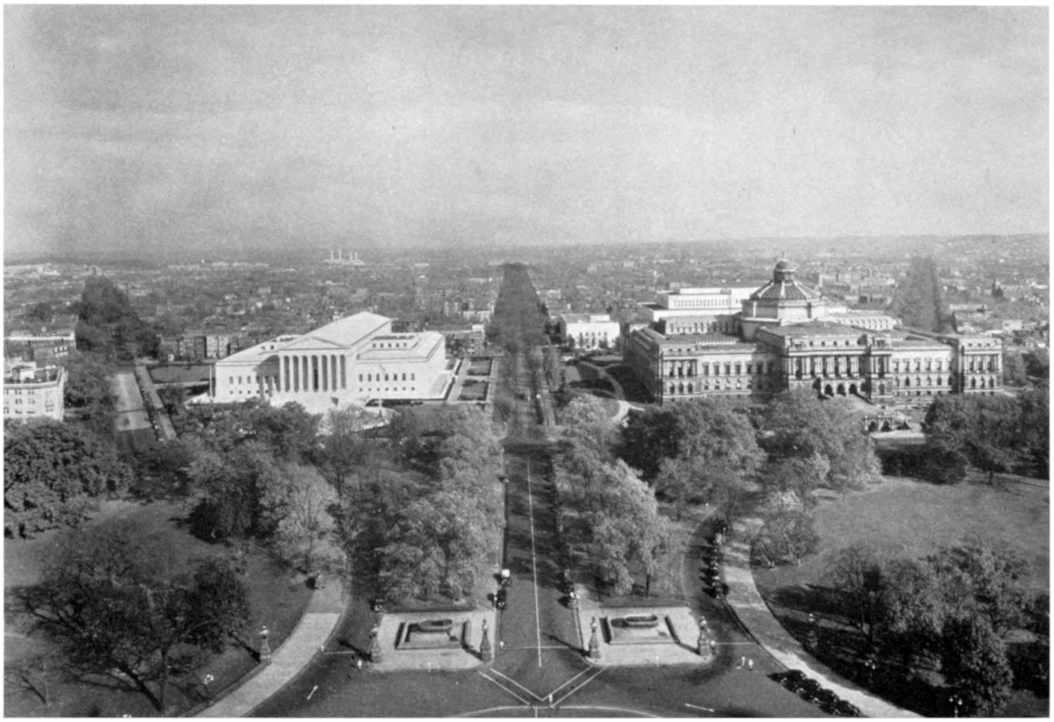
VIEW FROM THE DOME OF THE CAPITOL, LOOKING EAST
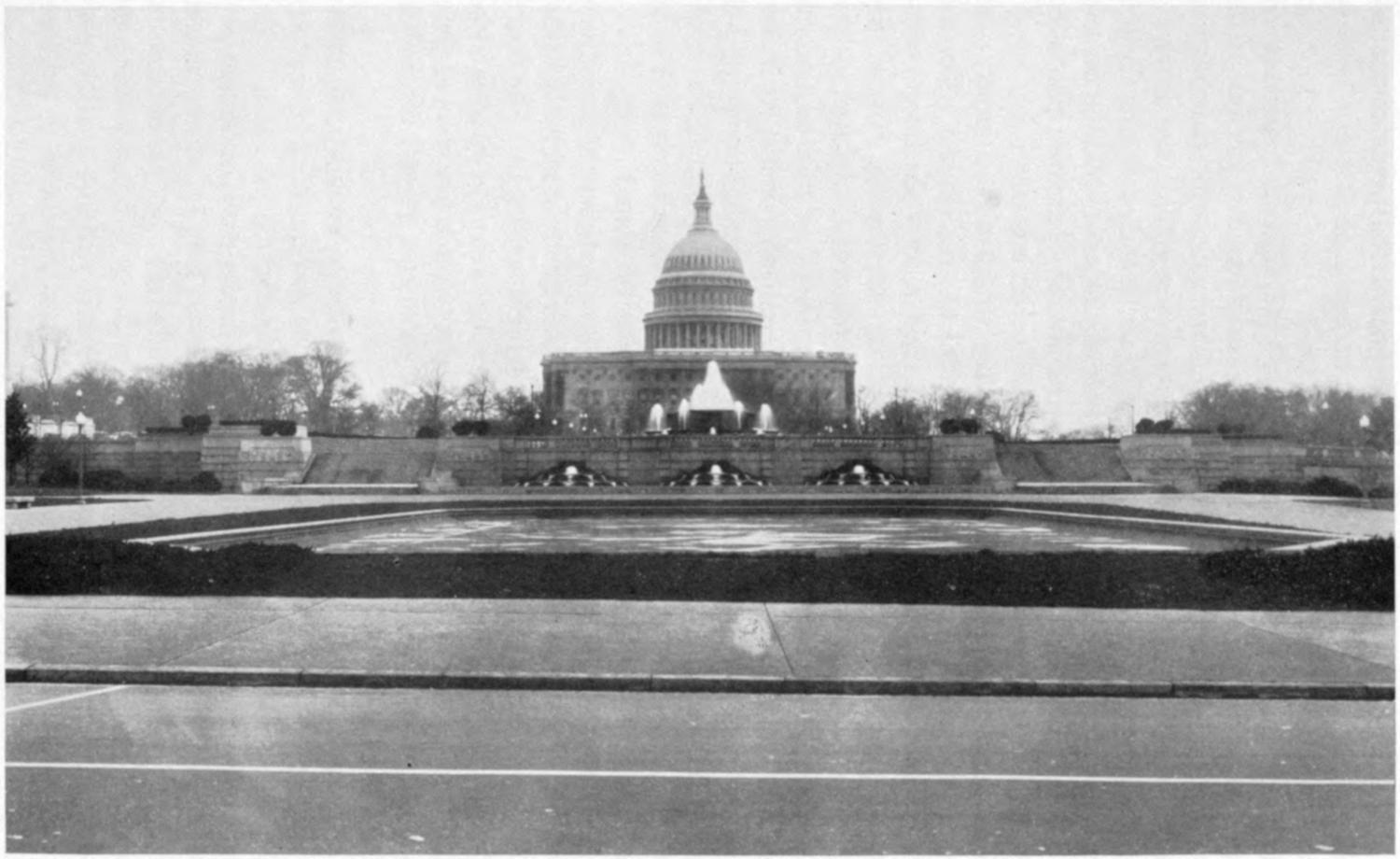
VIEW OF THE DOME OF THE CAPITOL, LOOKING SOUTH
Since the areas needed for public use can not be chosen without regard to the
use and extent of private developments, it follows that some control over the
use of private property—as by zoning—is an essential part of city or regional
planning.
When city planning is mentioned most people think first of streets. In this
field the commission has been active in three ways—first, in an effort to make the
streets fit the land and to follow along the hills and valleys instead of across them;
second, in establishing a major thoroughfare system guiding the development of
the main highways within the District of Columbia and extending the principles
of the original L’Enfant plan to the limits of the District; and third, in securing
public support of a regional highway system which will provide more adequately
for traffic both into the city and between suburban areas.
With the first of these aims in view many changes in the highway plan of the
District have been made in cooperation with the District officials. These changes
were advantageous to preserve natural topography, to fit the streets to property
lines, to save trees, to provide drainage, or for like reasons. Several important
street openings and widenings have been undertaken in accordance with the commission’s
major thoroughfare plan, such as New York Avenue beyond the limits
of the L’Enfant plan, the opening of a new Louisiana Avenue from the Union
Station to Pennsylvania Avenue at Union Square, straightening of Michigan
Avenue, and extension of Sixteenth Street to the District line. The plan which
follows the recommendations of the commission has been recognized by the District
officials in the adoption of a 5-year highway program.
Several new regional highway projects are now complete or going forward in
accordance with the regional plan. The Mount Vernon Memorial Highway and
the Lee Boulevard establish new standards in highway design. The extension of
Rhode Island and Massachusetts Avenues fits the plan. The Maryland-National
Capital Park and Planning Commission has adopted practically all of the suggestions
made by the Commission for the Maryland area as part of the Maryland
master plan.
Where parks are concerned the Commission has a special responsibility. The
plans for parks both in the District of Columbia and out of it have received the
indorsement of Congress in the Capper-Cramton Act.
For the District the Commission is now acquiring parks of three types: (1) A
parkway (the Fort Drive) around the city, 28 miles long and connecting the sites
of the Civil War forts on the second row of hills; (2) a system of recreation centers
and playgrounds distributed throughout the area in association with the
schools and so far as possible providing a play area within a quarter of a mile of
every child; (3) preservation of stream valleys and correction of the boundaries
of Rock Creek Park.
The principal physical feature of the region is the Potomac River, so it is
natural that the corresponding feature of the park system is along the river
banks. Below Washington, where the broad lakelike scenery exists, parkways are
under construction or contemplated on the Virginia side to Mount Vernon and
on the Maryland shore to Fort Washington. Above Washington a park is projected
to preserve the natural scenery of the Palisades, rapids, woodlands, and
Great Falls of the Potomac, together with the Patowmack Canal, built by George
Washington, and the Chesapeake & Ohio Canal on the Maryland side of the river.
The Commission has taken an active part in the effort to have the public
buildings of Washington grouped and arranged not only for the convenience and
beauty of the result but also that they may fit into the future plans for streets,
highways, and parks, and thus promote the orderly development of the city and
region. When the first important step in the public-buildings program was taken
in 1926 the Commission urged the purchase of all of the land necessary for a
plan of the group as a whole instead of undertaking individual building projects
as separate units in the scheme. The problems of parking and transit facilities in
relation to the public-buildings groups have caused the Commission great concern,
and efforts have been made to secure the cooperation of the architects in charge of
the building program in order to solve these problems. In all of its activities
concerning the public-buildings program the Commission has been guided by the
principles announced by the plan of 1901, under which Federal buildings will be
concentrated along the axis of the Mall and about the White House. The Commission
has given favorable consideration to an enlargement of this program by
which semipublic buildings and possibly State buildings might be located along
East Capitol Street in order to help the balance between the northwest and the
eastern portions of the city of Washington.
In the same way the Commission advises the appropriate authorities on matters
of zoning and control of use of private property. Zoning has now been adopted
not only in the District but also in the Maryland suburban area and in Arlington
County and Fairfax County, Va. Also Alexandria has prepared a zoning plan.
It is hoped that in the not distant future other portions of the Maryland and
Virginia areas may be added to this list. In matters relating to zoning in the District,
the Commission has contributed statistical data and expert opinion, and was
particularly active in the segregation of single-family houses from 2-family and
community groups.
In brief, it is the function of the Commission to revive, review, and revise the
efforts of past generations toward a “great and effective city for the seat of our
Government” and to keep that ideal constantly before the public, to the end that
each separate undertaking by the countless public and private agencies concerned
may be coordinated and related to produce a result in which future generations
may take pride.
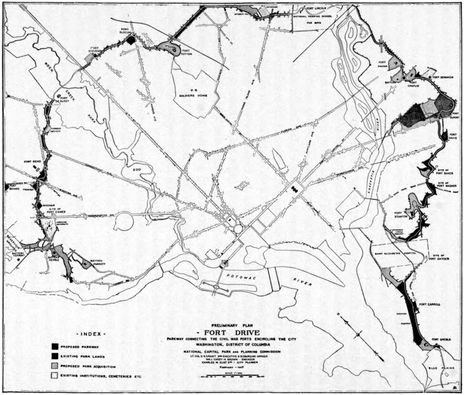
Transcriptions
FORT DRIVE CONNECTING THE CIVIL WAR FORTS ENCIRCLING WASHINGTON
Some one has said “the beauty of Washington is its trees.” No one who has
seen the thousands of trees in Washington and in the country adjacent to the city
can deny this. There is no national capital in the world that has more beautiful
trees than Washington. Those seen on East Capitol Street are typical of the large
massive trees throughout the city. Thousands of them were planted during the
Presidency of General Grant, and it has been the policy of the District of Columbia
government to plant trees along streets opened for residential sections.
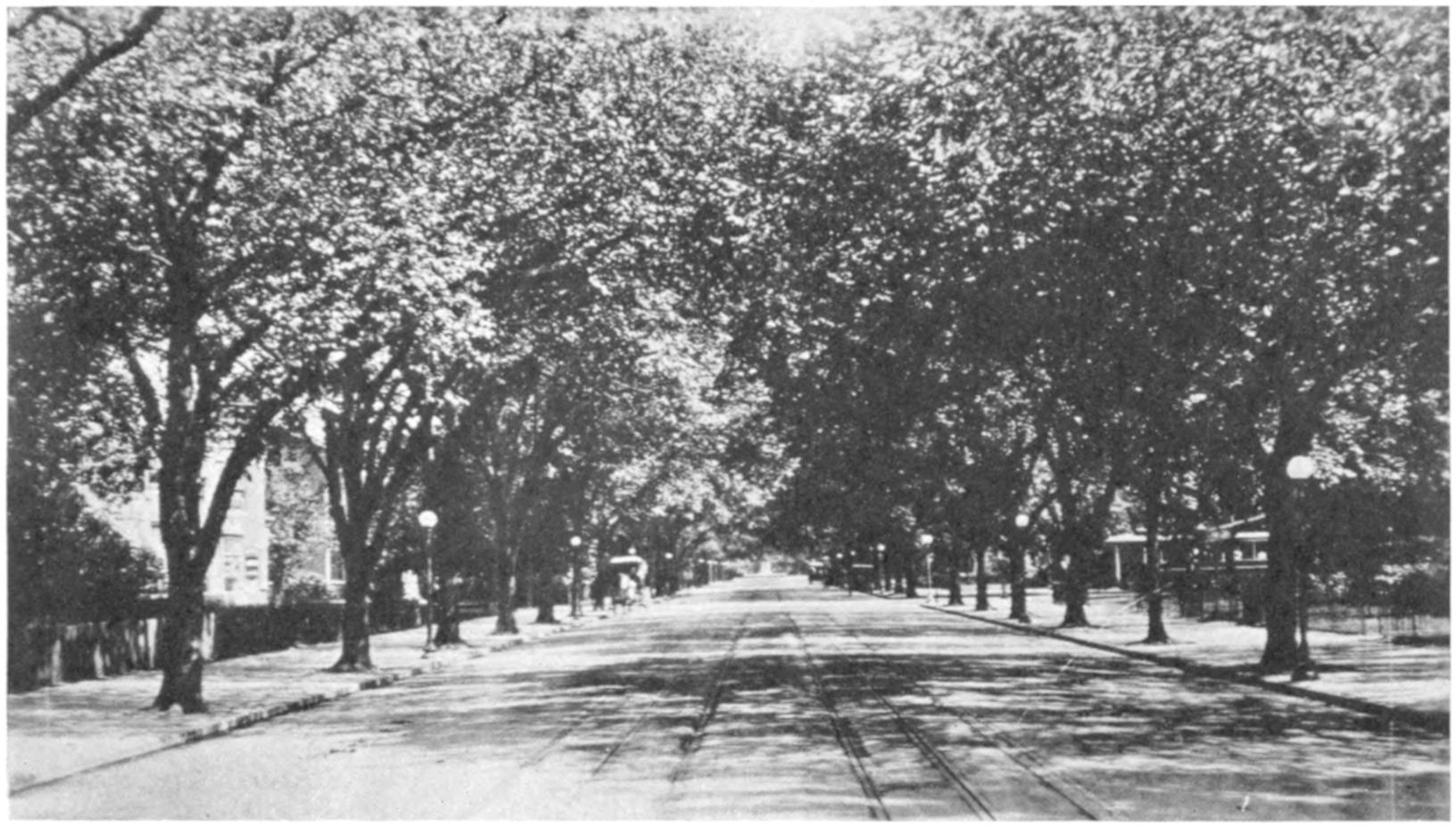
EAST CAPITOL STREET
The climate of Washington, which is semitropical, permits the growth of trees
found both in the North and the South. Thus there are oak, walnut, maple, and
cedar trees amidst magnolias, Japanese cherry trees, and the mountain laurel, to
mention only a few. Congress has authorized the establishment of a national
arboretum in the National Capital, which will comprise at least 500 acres and
will be a most interesting place for the planting of many varieties of trees and the
study of them. A plan to widen East Capitol Street and build a stadium on the
axis of the street in Anacostia Park is being made by the National Capital Park
and Planning Commission.
The citizens’ movement to connect by a boulevard a considerable part of the
Civil War defenses of Washington was incorporated in the plan of 1901. These
old defenses, occupying strategic positions, are capable of being converted into
small parks of high excellence and availability, and a connecting boulevard will
have an added historic interest. Of these so-called forts a number are already
in possession of the Government. Among those that have been purchased is
Fort Stevens, near the Army Medical Center, where during General Early’s raid,
on July 12, 1864, President Lincoln was under fire until ordered to the rear by
the officer in command. The Fort Drive is being developed by the National
Capital Park and Planning Commission. There will be a continuous parkway of
suitable width connecting the sites of the following old forts: Fort Greble, Fort
Carroll, Battery Ricketts, Fort Stanton, Fort Wagner, Fort Baker, Fort Davis
(United States owned), Fort Dupont (United States owned), Fort Shaplin, A
Battery, Fort Mahan, Fort Bunker Hill, Fort Totten, Fort Slocum, Fort Stevens
(United States owned), Fort De Russye, Fort Bayard, Battery Kemble, Battery
Vermont (United States owned), and Battery Parrott. There is another Civil
War fortification in the Arlington National Cemetery, called Fort McPherson,
which is being preserved for its historic character. From it a commanding view
of the cemetery and of the river is obtained.
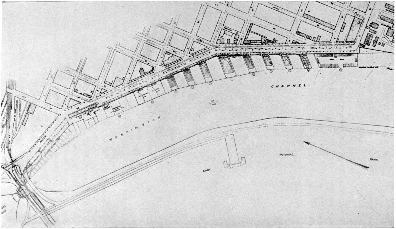
PLAN FOR IMPROVEMENT OF THE WATER FRONT
The water front of Washington is to be similar to the magnificent water fronts
of large cities of Europe. The plan provides for a quay, with space for commercial
piers, warehouses, steamboat offices, commercial houses, boathouses, and recreational
piers. There will be a beautiful boulevard drive along “Water Street”
which will connect with Anacostia Park, also adequate street-railway accommodations.
Washington has 18 miles of water front, and this will be a most interesting
part of it.
It is proposed to replace all existing structures on the water front at “Water
Street,” with the exception of the Municipal Fish Wharf, with modern buildings.
Head houses and transit sheds are to be of brick and tile, with slate roofs and of
a modified colonial architecture. A total of six wharves is projected for immediate
construction and a portion of the frontage available is to be reserved for future
additions. Yacht basins and small-boat anchorage are included in the plan. The
plan has been prepared by the United States Engineer Office, with the idea that
Washington is not primarily an industrial city, nor will it ever be, so that railroad
connections with the piers and slips were omitted. Such industrial developments
as might require ship-to-rail transfers can be accommodated in other locations.
Buzzards Point is to be developed for maritime commercial uses.
Under the improvement program “Water Street” is to be made a 160-foot
boulevard, with separate lanes for traffic, street cars, and trucks, and marginal and
central landscaping. The old 4-line street-car lanes on a portion of the street
have been removed. To permit of direct connection with East Potomac Park and
the Highway Bridge, a bridge is to be built just below the railroad crossing at the
head of the Washington Channel. Water Street is now Maine Avenue.
The cost of the entire project is estimated at $3,691,600. The report was
submitted by the Secretary of War to the Speaker of the House of Representatives
on November 26, 1929, and then was referred to the Committee on Rivers
and Harbors. The project is now under development.
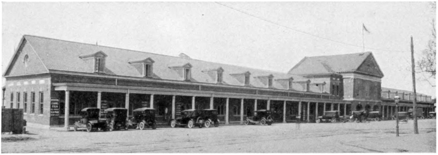
FISH MARKET ALONG THE WATER FRONT
The George Washington Memorial Parkway, designed by the National Capital
Park and Planning Commission, was authorized by the Capper-Cramton Act,
approved May 29, 1930, and carrying with it an authorization of $33,500,000 for
the development of a comprehensive park, parkway, and playground area in the
District of Columbia and the surrounding regions of Maryland and Virginia. This
parkway is designed “to include the public control of both banks of the river
between Mount Vernon and Great Falls on the Virginia side and between Fort
Washington and Great Falls on the Maryland side, with the exception of areas at
Alexandria and in Washington which are reserved for commercial development.”
This is a project in which both residents of the District of Columbia and of the
States of Maryland and Virginia may take equal pride—namely, to preserve
Great Falls and the banks of the Potomac, so that the Potomac River, as it flows
through the National Capital, may flow through a continuous park from Great
Falls to Mount Vernon. Washington is to be envied in having so near to it such
beautiful scenery as the Palisades of the Potomac and Great Falls, which are said
to be “the finest specimens of nature in this part of the country.” Already, along
the Palisades of the Potomac, quarries have been established and beautiful
timber is being converted into lumber and firewood. These invasions will in
time destroy natural beauties that can not be restored.
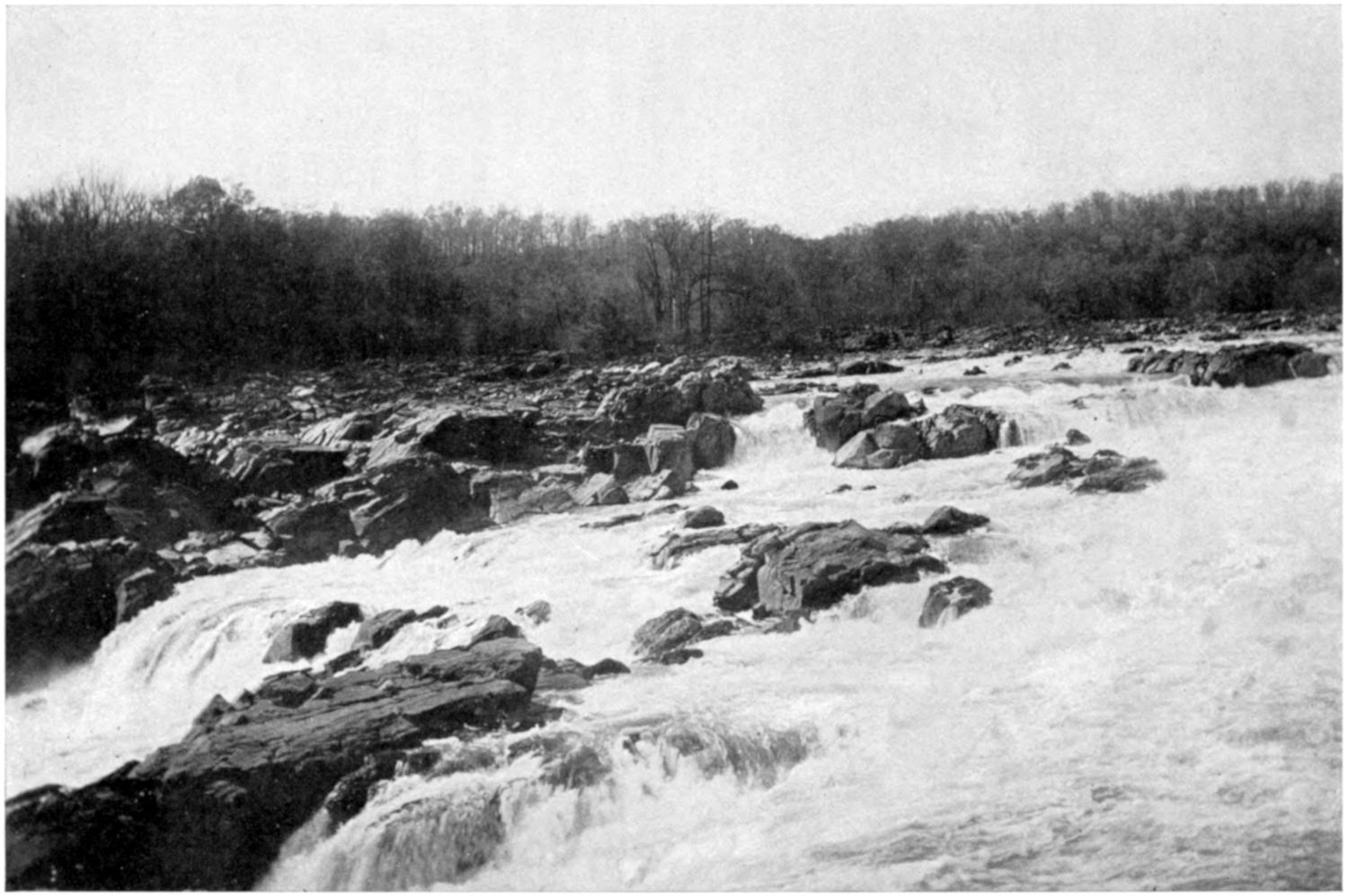
GREAT FALLS OF THE POTOMAC
The route traverses a territory full of historic associations and reminiscent
of the days of Washington. About halfway between Washington and Alexandria
it passes close to the site of Abingdon, the home of John Parke Custis,
Mrs. Washington’s son. Here Nellie Custis, Washington’s adopted daughter,
was born. A beautiful view of the river and a panorama of Washington and the
north shore is seen from this point. Also here the Potomac is being dredged,
making new land for Washington National Airport, to be the finest in the
United States. Work will be completed in 1941.
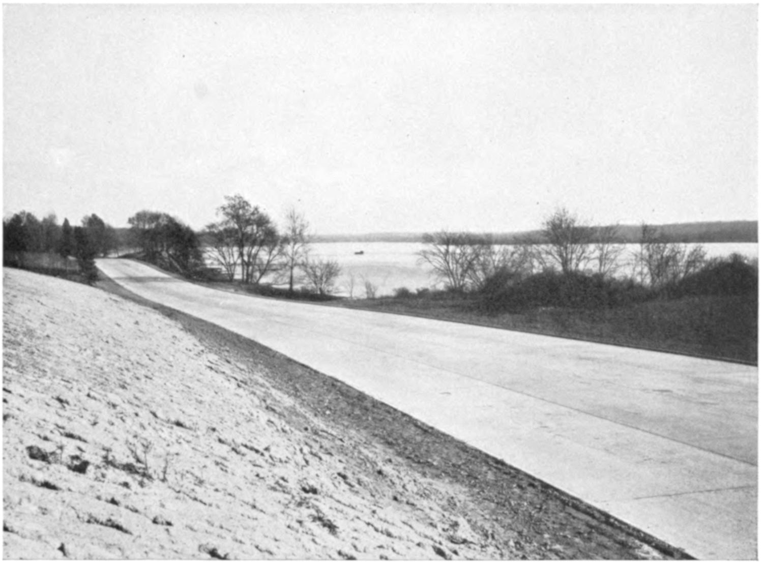
MOUNT VERNON MEMORIAL HIGHWAY, NORTH OF LITTLE HUNTING CREEK
Passing on to Alexandria the route enters the city by Washington Street and
passes directly by Christ Church, where the Washington pew may still be seen.
Alexandria was Washington’s own town. It was his market place, his post
office, and his voting place. It was the meeting place of the lodge of Masons to
which he belonged, and the lodge hall is now the repository of a great many articles
and paintings associated with him. The trowel, square, and plumb bob used in
laying the corner stone of the Capitol may be seen here, as also the Bible used
in the Masonic lodge of which Washington was a member. Among many other
things of historical interest is a portrait of George Washington painted by W.
Williams for the lodge.
There is scarcely a foot of ground in Alexandria that Washington did not
tread. The old quarters of the volunteer fire company to which he belonged
still stand. In Gadsby’s Inn, now the City Hotel, he recruited the first company
of provincial troops authorized by Governor Dinwiddie, and with which
he fought the Battle of Great Meadows.
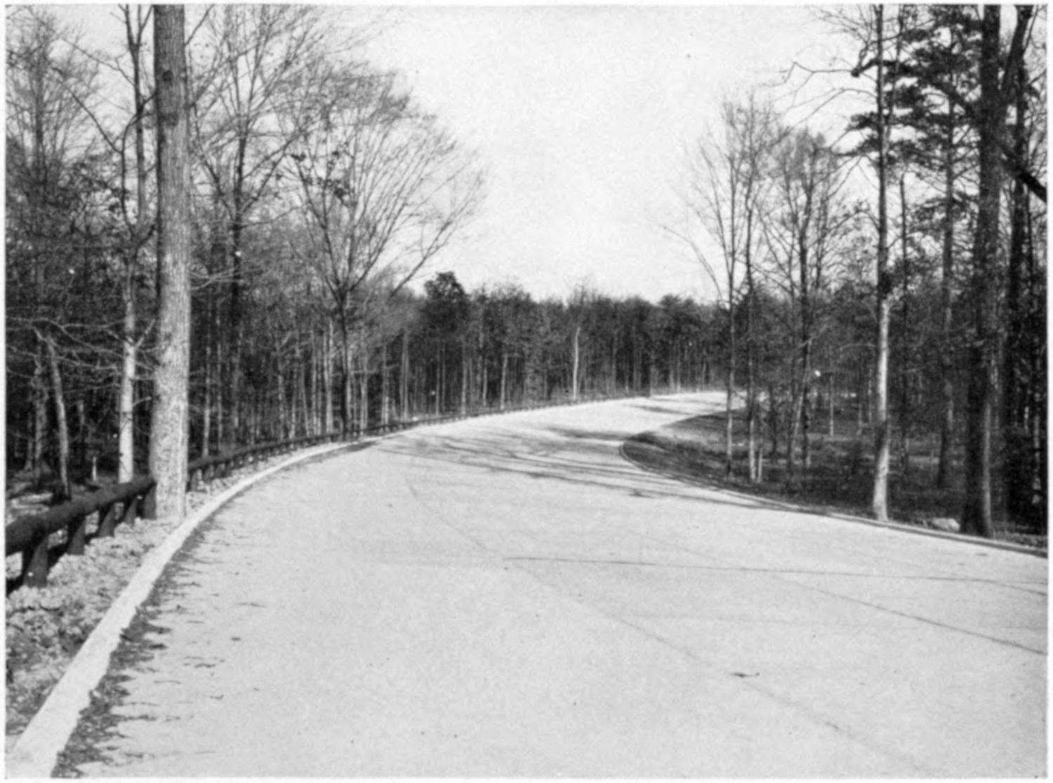
MOUNT VERNON MEMORIAL HIGHWAY
In the ballroom of Gadsby’s Inn in 1798 was held the first celebration of Washington’s
birthday. From the steps of the same building he gave his last military
command to the Alexandria Light Infantry Blues; and here, also, in November,
1799, less than 30 days before his death, he cast his last vote.
At the Carlyle House, still standing, he received his appointment as an officer
in the British Army on General Braddock’s staff; and in this house also, at the
Convention of the Five Governors assembled to confer with General Braddock,
the first suggestion of colonial taxation was made—a step which ultimately led
to the revolt of the Colonies.
A short side trip from Washington Street down King Street takes the traveler
to the George Washington National Masonic Memorial, which has been erected
at the western outskirts of the town on Shooters Hill. It is 333 feet high, and
was designed by Harvey W. Corbett, architect.
Returning to Washington Street and proceeding southward the traveler passes
the Confederate Monument, and soon reaches the southern limits of the town
and passing within a stone’s throw of the first corner stone of the District of
Columbia, still standing on Jones Point.
Leaving Alexandria the route crosses Hunting Creek to Fort Hunt, thence to
the entrance gates of Mount Vernon.
The making of surveys, preparation of plans, and supervision of construction
have all been done by the Bureau of Public Roads of the United States Department
of Agriculture, and Gilmore D. Clarke, Consulting Landscape Architect.
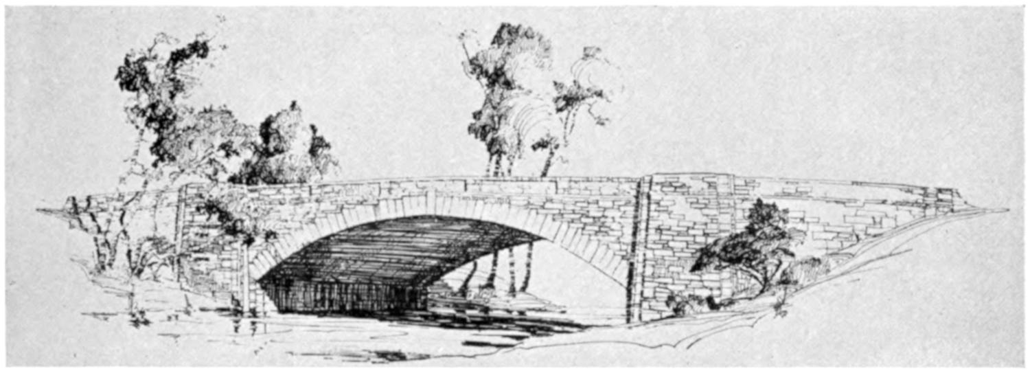
MOUNT VERNON MEMORIAL HIGHWAY—BRIDGE OVER BOUNDARY CHANNEL
The location selected for the highway required the construction of fills across
approximately 2³⁄₄ miles of open water, which was accomplished by pumping
gravel and sand from the Potomac River.
The highway throughout its entire length, with the exception of the section
through Alexandria, has been designed to provide for a free flow of traffic over a
surface with a minimum width of 40 feet, and where there is any volume of cross
traffic it passes either under or over the highway.
Except through the city of Alexandria, the highway follows closely the shore
of the Potomac River for the greater portion of the distance. This situation
affords beautiful vistas of Washington and the Potomac River, which, in combination
with the landscaping and development of the project itself, make this
highway a fitting tribute to the memory of George Washington.
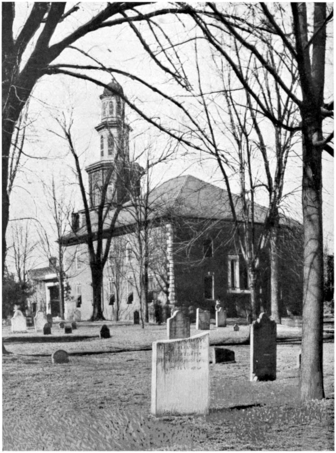
CHRIST CHURCH, ALEXANDRIA, VA.
Below Alexandria the highway has been widened at points of outstanding
beauty, so that motorists can stop for a few minutes to enjoy the view.
The bridges in general are of reinforced-concrete arches, faced with native
stone laid in random bond. Special attention has been given to harmonizing their
lines with the general plan of development.
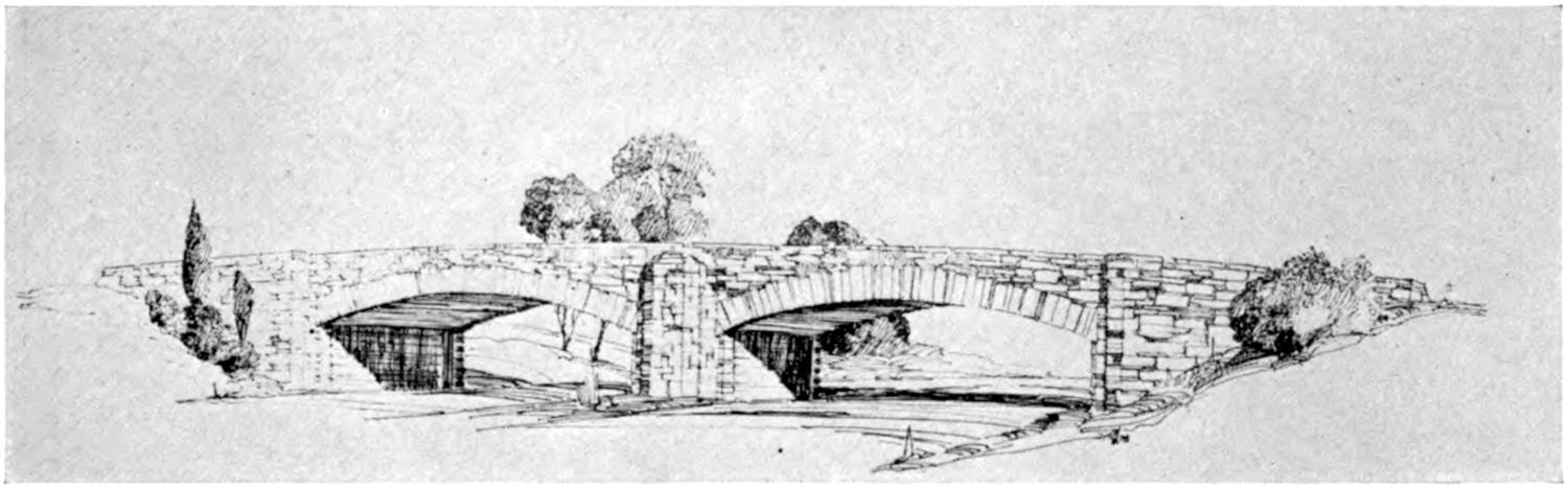
MOUNT VERNON MEMORIAL HIGHWAY—UNDERPASS AT HIGHWAY BRIDGE
The intersection of the memorial highway with U. S. Highway No. 1 near the
beginning of the project has been so designed that a large volume of traffic can flow
from one highway to the other without crossing the center line of either route.
A large parking area at Mount Vernon that will accommodate the thousands
of visitors to this national shrine has been provided, and a concession building of
colonial design has been erected to provide for their comfort.
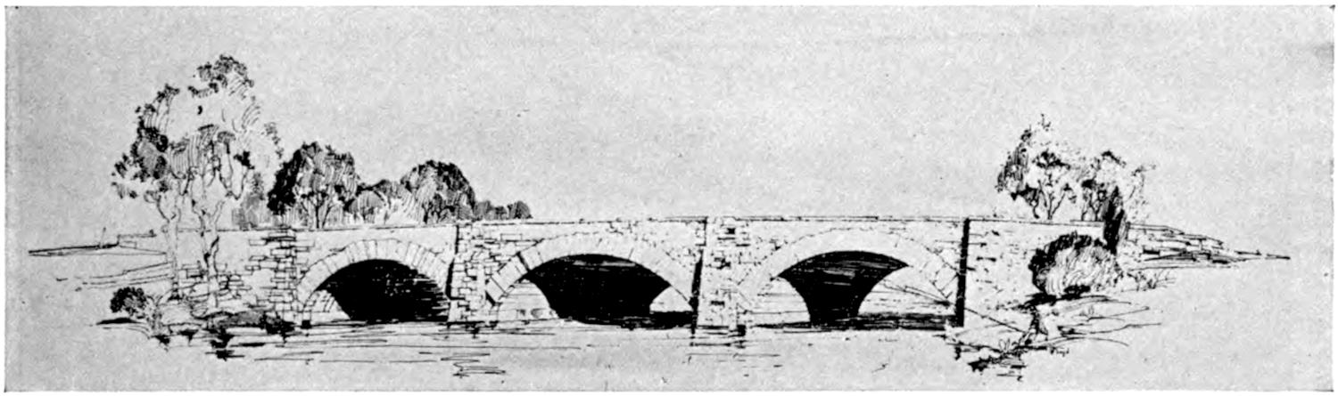
MOUNT VERNON MEMORIAL HIGHWAY—BRIDGE OVER HUNTING CREEK
Mount Vernon, the home of George Washington the greater part of his life, is
situated along the historic Potomac, 14.7 miles south of the city of Washington,
which he was instrumental in founding, though referring to it as the Federal City.
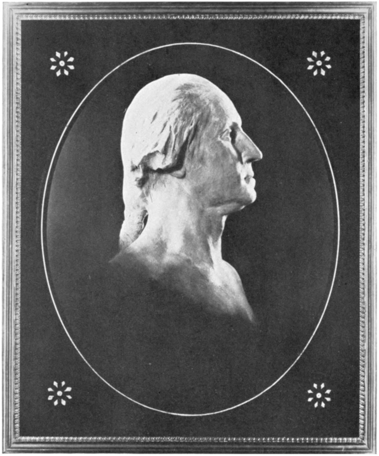
GEORGE WASHINGTON
FROM THE HOUDON BUST, MODELED FROM LIFE AT MOUNT VERNON IN 1785
The history of Mount Vernon goes back to the time of Capt. John Smith,
who explored the regions of the Potomac River in 1608. Some 40 years later
Scotch and Irish emigrants settled along the banks of the Potomac, both on the
Virginia and Maryland sides. In 1674 a tract of 5,000 acres, 15 miles south of
Washington on the Virginia side of the river, was granted by Lord Culpeper to
John Washington and Nicholas Spencer. Half of this tract was inherited by
the half-brother of George Washington, Lawrence Washington. Mount Vernon
was built in 1743 by Lawrence Washington, who named it after Admiral Vernon,
under whom he served. It occupies a most picturesque spot on high ground
overlooking the river, which it faces.
The mansion is well built. Its foundations are of stone and brick. The framework
is of oak and the sheathing of pine wood. Also much copper was used in its
construction. On the main floor is a central hall, a music room, a family dining
room, a sitting room, and parlor; also a library and a banquet room, which were
added by George Washington. On the second floor is the room in which Washington
died; also, among several others, the Lafayette room. There are six bedrooms
on the third floor. The house is 96 feet long and 30 feet wide, with a
portico 25 feet high; the height of the building to the cupola is about 50 feet.
Beautiful gardens are near by.
In 1752 Lawrence Washington died. Augustine Washington had provided
that in the case of Lawrence’s death without heirs Mount Vernon should pass to
George, and this provision Lawrence incorporated in his own will. To his widow
he left a life interest in the property, with a reversion to his infant daughter, Sarah,
who, as it happened, survived her father only a few weeks. Thus there was only
the widow’s life interest to be considered. Anne Fairfax Washington lived until
1761, and at her death George Washington became the proprietor of Mount Vernon.
The mansion was then enlarged for its new mistress, Martha Dandridge
Custis, whom he had married in 1759.
During Washington’s years of public life he longed for the day when he could
be at home at Mount Vernon with his beloved Martha and the family. It was
undoubtedly one of the very best-managed estates in the Colonies, and Washington
himself was regarded one of the richest men. The main entrance to Mount
Vernon was from the west, which gateway was flanked by two porters’ lodges.
The large portico on the east side of the mansion was used for outdoor gatherings
and entertainment of visitors. Among the many guests entertained at Mount
Vernon was the distinguished young French patriot, General Lafayette. On the
main floor in a glass case hangs a key to the Bastille, sent by Lafayette to Washington
in 1790, with the message: “That the principles of America opened the
Bastille is not to be doubted, therefore the key comes to the right place.”
Washington was called from Mount Vernon to serve his country on three
most noteworthy occasions, and each time after an interval of several years: In
1775, when he was made Commander in Chief of the Continental Army; in 1787,
when he became president of the convention in Philadelphia that framed the
Federal Constitution; and in 1789, when he became first President of the United
States of America.
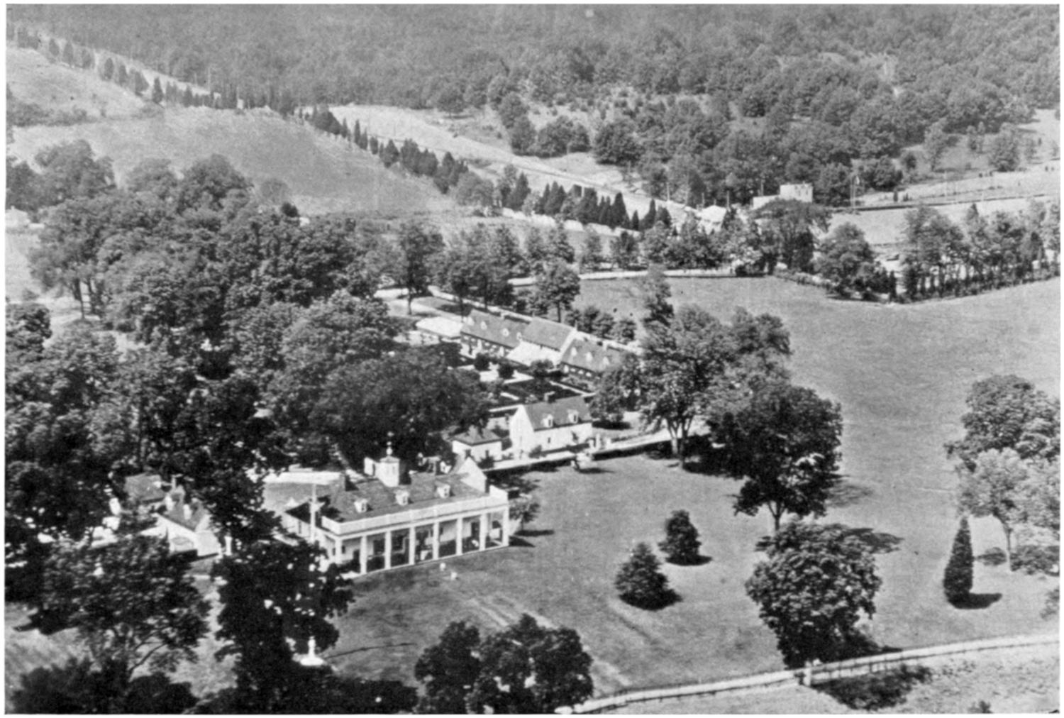
Courtesy of Army Air Corps.
MOUNT VERNON
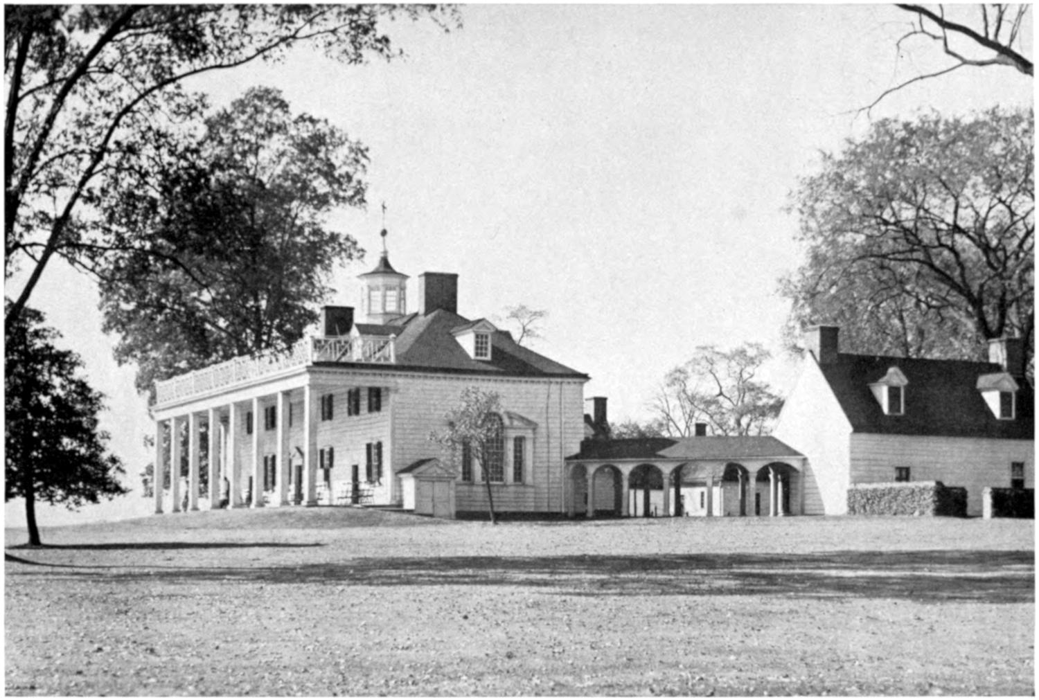
MOUNT VERNON
Washington died at Mount Vernon on December 14, 1799. Martha Washington
lived there during the remainder of her lifetime. On her death in 1802
the property was inherited by her nephew, Bushrod Washington, an Associate
Justice of the Supreme Court. Thereafter the estate suffered for need of repairs.
In 1858 the Mount Vernon Ladies’ Association of the Union was organized.
The association purchased the property for $200,000 and to-day own and control
Mount Vernon, including about 400 acres of the old estate.
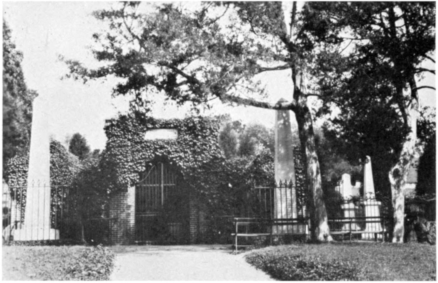
TOMB OF WASHINGTON
Mount Vernon each day is the place of pilgrimage of hundreds of American
and foreign visitors, who go there by motor or steamboat to visit the mansion
and see the many historical articles of interest that once belonged to George
Washington and his family and are now there on exhibition, but more particularly
do they go to Mount Vernon to pay homage at the Washington tomb,
which is near the mansion. Here also Lafayette came on his second visit to the
United States during 1824-25, after an interval of almost 40 years.
The number of visitors at Mount Vernon for the year ended December 31,
1938, was 633,514.
After more than a century and a half of neglect, a group of patriotic persons
have within recent years taken steps to restore Wakefield, the birthplace of
George Washington, situated about 50 miles south of Mount Vernon, along the
Potomac, amidst beautiful landscapes between Popes Creek and Bridges Creek.
The Government erected a monument at the site in 1895 to mark the birthplace
and provided a watchman to care for the grounds. Until within the past few
years the little Government reservation of 11 acres, acquired in 1882, was inaccessible
because the Government dock was washed away and the road leading
into Wakefield from the main highway was almost impassable. The State of
Virginia recently completed a sand and gravel road to the place. The new road,
about 2 miles in length, intersects the George Washington Highway from Fredericksburg,
between Oak Grove and Potomac Mills. The Wakefield National
Memorial Association (Inc.) has been organized to purchase the lands at Wakefield
and thus save them from threatened encroachments of hunting and fishing
clubs, which are now securing valuable sites along the Potomac River. Thus
the association is doing for Wakefield what the Mount Vernon Ladies’ Association
of the Union accomplished for the preservation of Mount Vernon.
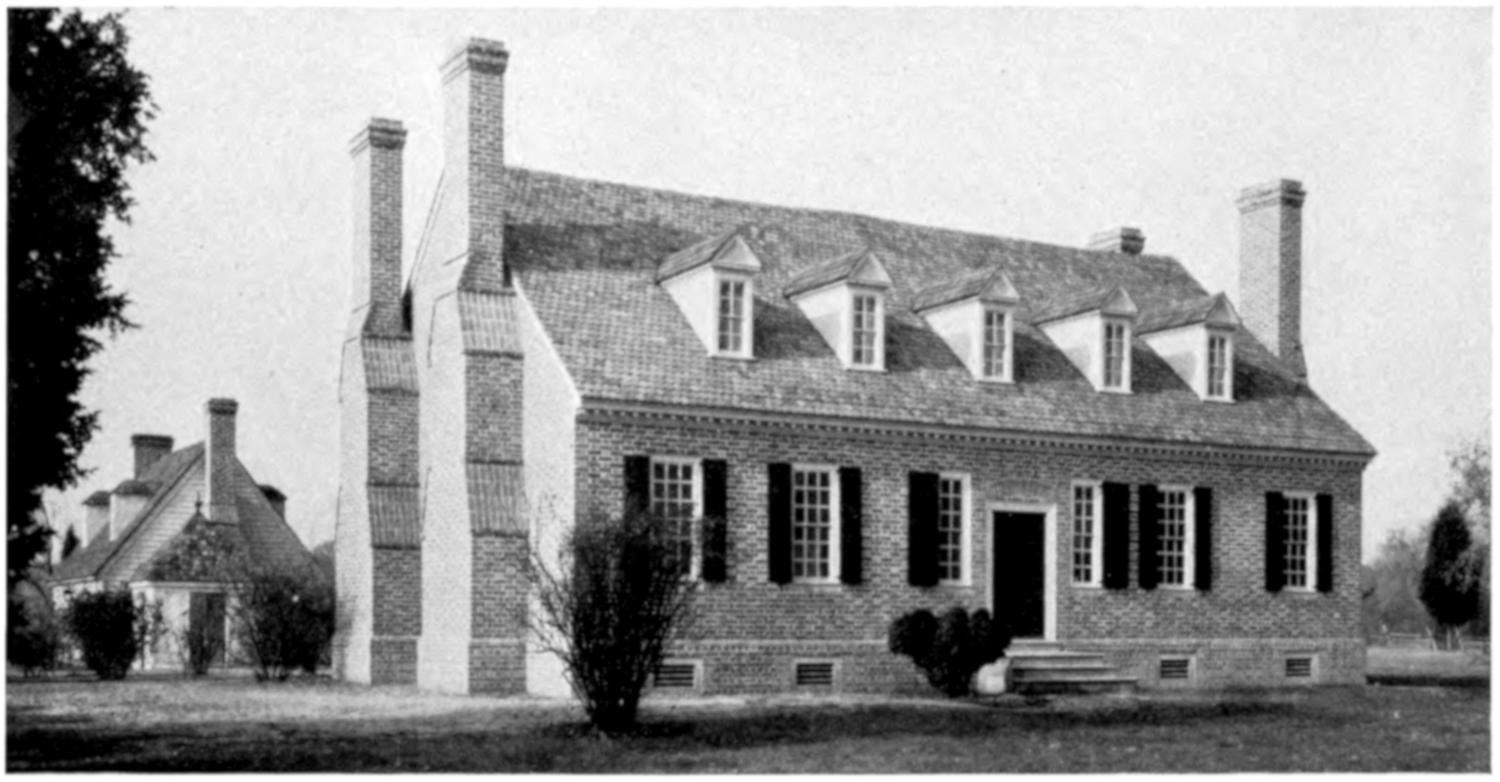
WAKEFIELD, AT POPES CREEK, WESTMORELAND COUNTY, VA.
Congress early in 1930 appropriated $50,000 toward erecting a colonial house,
typical of the Virginia houses at the time of George Washington. Bricks for the
house were made from the clay at Wakefield. The construction work was carried
out under the supervision of the National Park Service of the Department
of the Interior, which has jurisdiction over the maintenance of Wakefield
since the project of restoration was completed. John D. Rockefeller, jr., gave
$115,000 for the purchase of 267 acres, and the association purchased approximately
100 additional acres. The association raised about $200,000.
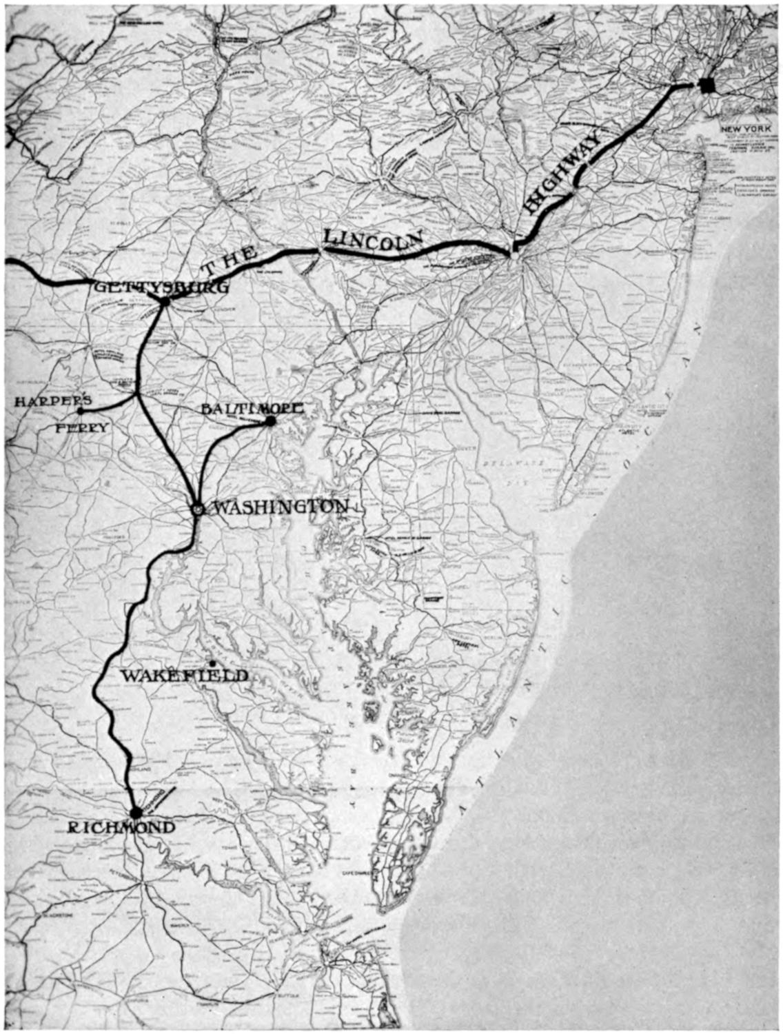
MAP SHOWING WASHINGTON AND WAKEFIELD
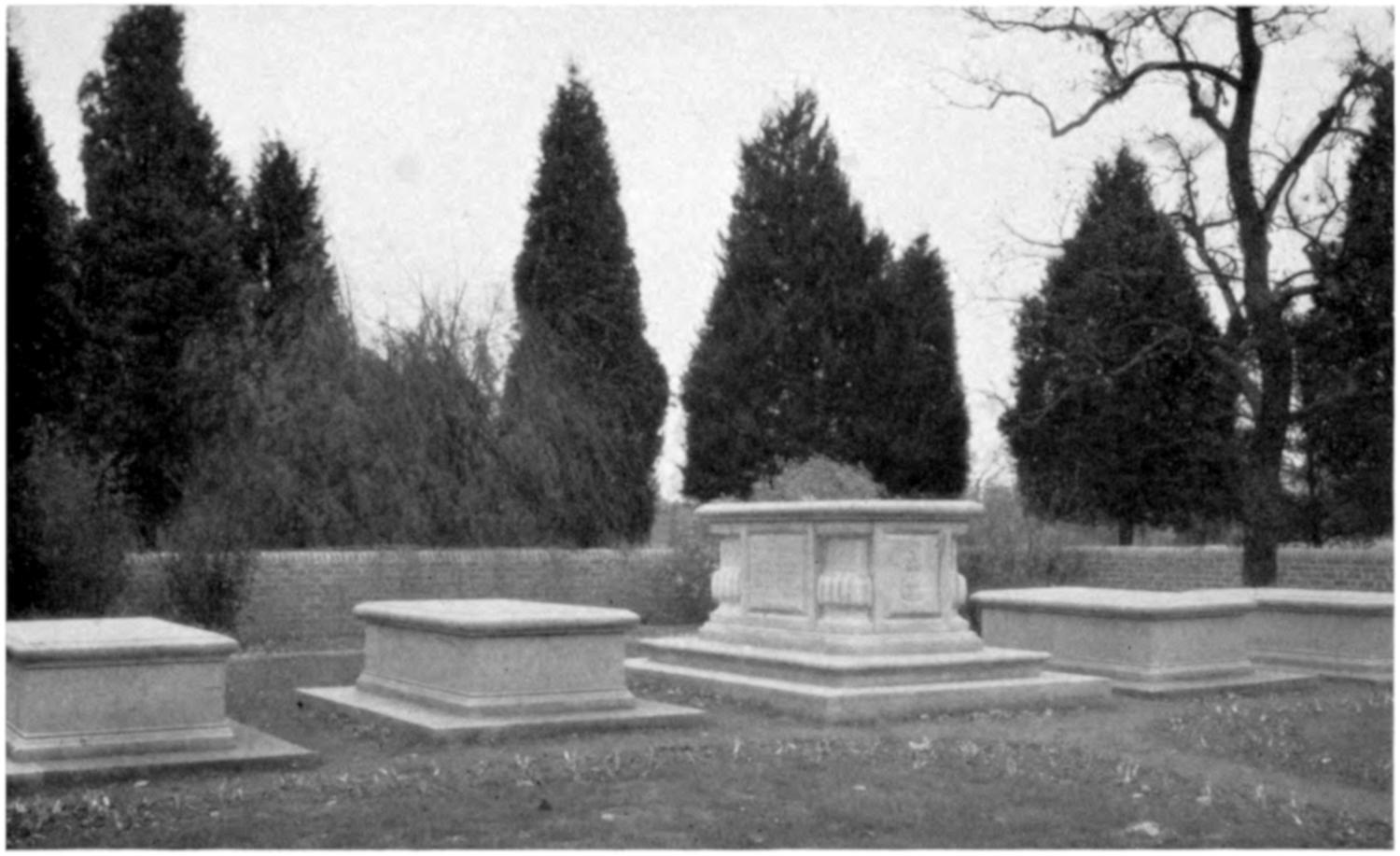
WAKEFIELD—WASHINGTON FAMILY BURYING GROUND
The money, aside from the amounts spent to buy land, was expended in erecting
a house that is as nearly a replica of the original birth house as could be
planned on the basis of available data, in restoring the gardens, and in protecting
the ancient graveyard where lie the remains of 31 members of the Washington
family, including his great-grandfather, grandfather, father, and brother, and to
build a resthouse at the site. The original house was built between 1717 and
1720, and was burned Christmas, 1780. From pieces of china found in the ruins
the celebrated Lenox china, showing the Washington coat of arms, has been
reproduced and made available to the public by the Wakefield National Memorial
Association. In the work of restoration the association was led by its president,
the late Mrs. Harry Lee Rust, of Washington, D. C., who was a native of Westmoreland
County, Va., and spent her childhood days in the vicinity of the Washington
estate. She was a most indefatigable worker toward the realization of this
project.
Wakefield was dedicated on February 11, 1932, the birthday of George
Washington (old style), which month marked the beginning of the George Washington
bicentennial celebration. Wakefield is known to-day as the George
Washington Birthplace National Monument.
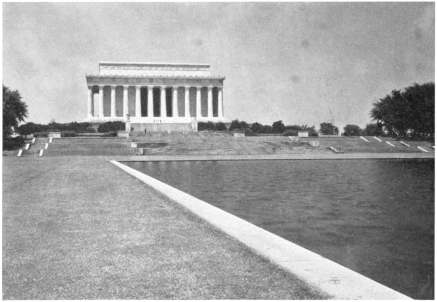
THE LINCOLN MEMORIAL AND APPROACHES
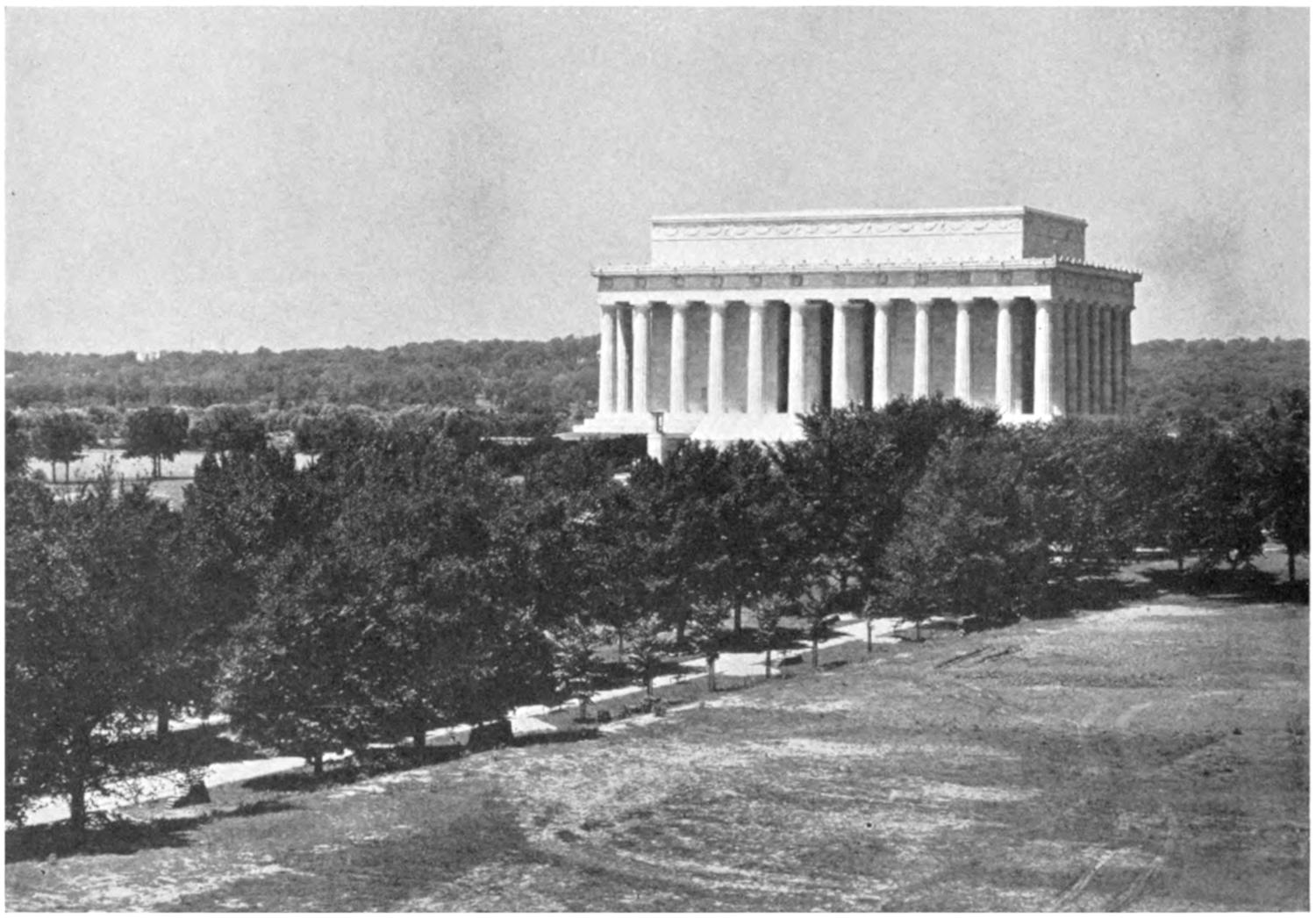
THE LINCOLN MEMORIAL
Chapter XVIII THE LINCOLN MEMORIAL THE ARLINGTON MEMORIAL BRIDGE — THE LINCOLN MEMORIAL — THE STATUE OF ABRAHAM LINCOLN — DECORATIONS — THE LINCOLN MEMORIAL AND SURROUNDING AREA — THE ARLINGTON MEMORIAL BRIDGE
At the west end of the Mall is the Lincoln Memorial. The site was fixed by
the McMillan Park Commission in 1901, which extended the Mall area of the
original L’Enfant plan west three-fourths of a mile to the Potomac River. The site
and surrounding area is known as Potomac Park. The reclaimed land, about 640
acres, comprises West Potomac Park and East Potomac Park (the island park).
Congress provided for the construction of the memorial to Abraham Lincoln
by an act approved February 9, 1911, following the centennial year of the birth of
Lincoln. The corner stone was laid February 12, 1915. The memorial is built of
Colorado marble and cost $2,940,000. It was dedicated May 30, 1922. Lincoln
died in 1865, so that it was 57 years later that this memorial to him in the National
Capital was built. Henry Bacon, who died February 16, 1924, was the architect.
Very nearly 300,000 persons visited the Lincoln Memorial in the year 1923,
and more than 1,000,000 in 1930. At present the daily average of visitors is 3,000.
It is a shrine in which those who love God and country can find inspiration
and repose.
The following is part of a technical description by the architect:
From the beginning of my study I believed that this memorial to Abraham Lincoln should be
composed of four features—a statue of the man, a memorial of his Gettysburg speech, a memorial
of his second inaugural address, and a symbol of the Union of the United States, which he stated
it was his paramount object to save—and which he did save. Each feature should be related to
the other by means of its design and position, and each should be so arranged that it becomes an
integral part of the whole, in order to attain a unity and simplicity in the appearance of the
monument.
Surrounding the walls inclosing these memorials of the man is planned a colonnade forming a
symbol of the Union, each column representing a State—36 in all—for each State existing at the
time of Lincoln’s death, and on the walls appearing above the colonnade, and supported at intervals
by eagles, are 48 memorial festoons, one for each State existing at the present time.
The colonnade is 188 feet long and 118 feet wide, the columns being 44 feet high and 7 feet
8 inches in diameter at their base. The outside of the Memorial Hall is 84 feet wide and 156 feet
long; the total height of the structure above the finished grade at the base of the terrace is 99 feet.
The steps are 132 feet wide, leading to the entrance, which is flanked by tripods, each 11 feet high.
The central hall, where the statue stands, is 60 feet wide, 70 feet long, and 60 feet high. The
interior columns are of the Ionic order and are 50 feet high.
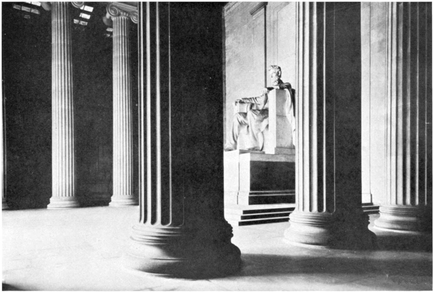
STATUE OF ABRAHAM LINCOLN AS SEEN THROUGH THE COLUMNS
The statue of Abraham Lincoln, in the center of the Lincoln Memorial, is by
Daniel Chester French.
It represents Abraham Lincoln as the great war President, with mental and
physical strength and confidence in his ability to bring the Nation safely through
the great conflict.
President Lincoln is seated in a great armchair 12¹⁄₂ feet high, over the back of
which a flag has been draped. The figure of Lincoln is 19 feet high from the top of
his head to the sole of his boot. The head measures 3 feet in height. The boot is
3¹⁄₂ feet long, and from the boot to the kneecap the distance is 8 feet. The pedestal,
which is 18 feet 2 inches wide and 19 feet deep, rests on a marble platform 34¹⁄₂
feet wide and 28 feet deep. The statue weighs 150 tons; with its pedestal and base
it rises to a height of 30 feet; and without the pedestal it is 21 feet in height.
The statue is of Georgia marble, was cut by Piccirilli Bros., marble-cutters, of
New York City, and four years were required for its completion. The pedestal
and base are of Tennessee marble.
Over the head of Lincoln is the inscription—
IN THIS TEMPLE
AS IN THE HEARTS OF THE PEOPLE
FOR WHOM HE SAVED THE UNION
THE MEMORY OF ABRAHAM LINCOLN
IS ENSHRINED FOREVER
The interior is lighted through translucent panels of marble and by the great
front opening. Recently a special system of lighting was installed.
The two decorations by Jules Guerin representing Emancipation and Reunion
are painted on canvas. Each canvas weighs 600 pounds and is 60 feet long and
18 feet wide. The figures, of which there are 46 in the two panels, are 8¹⁄₂ feet
high and were painted by the artist without assistance. Almost as many models
as figures were used. The head of Mr. Bacon, the architect, appears in the decoration
on the north wall, being the fourth figure in the group at the left of the angel.
The decorations are absolutely weatherproof, the paint being mixed with
white wax and kerosene. The wax hardens but does not allow the paint to
crack. Chemically it is similar to the wax, still pliable, which was found in the
tombs of the Kings of Egypt. The decorations are affixed to the wall with a
mixture of white lead and Venetian varnish.
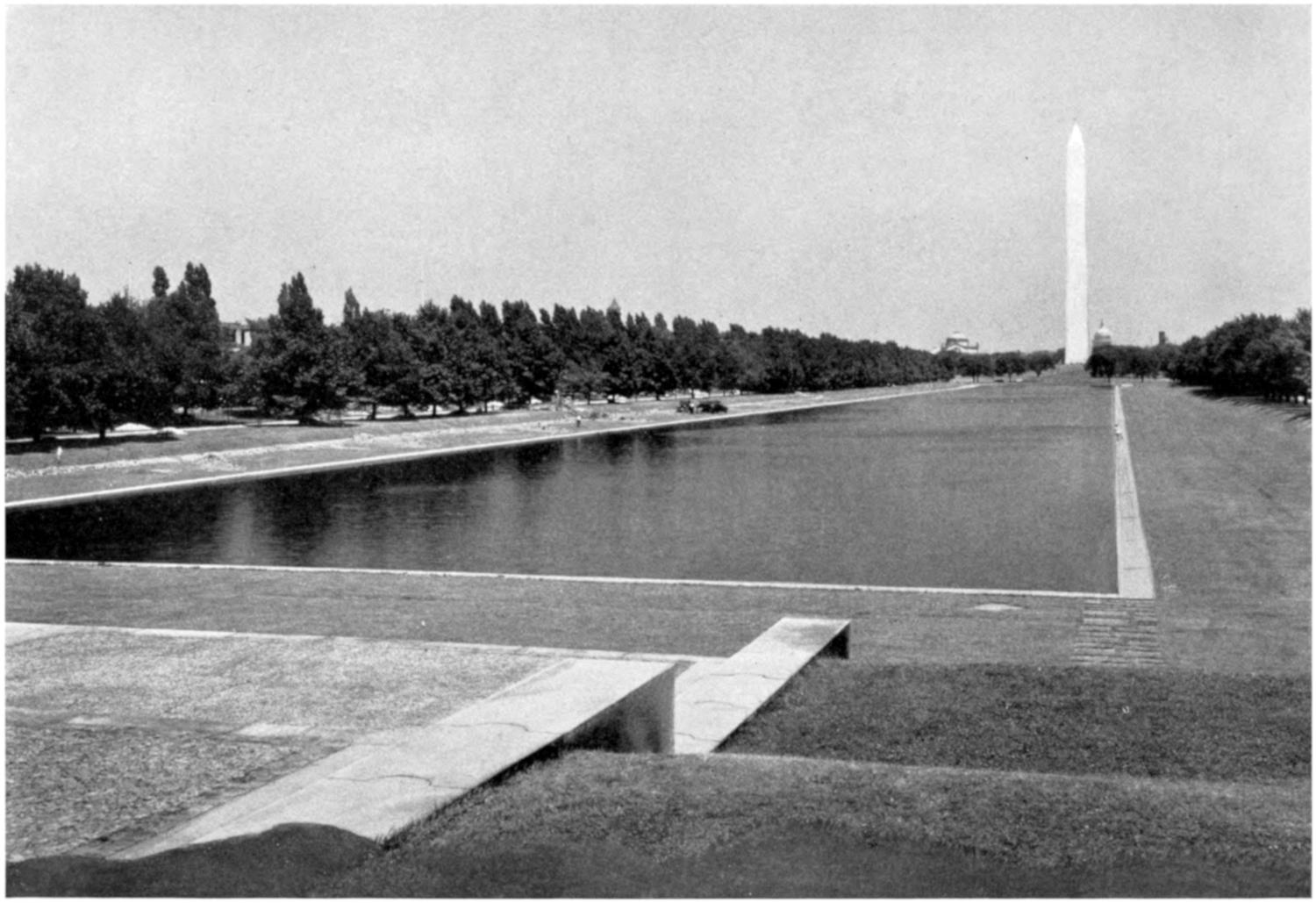
THE LINCOLN MEMORIAL REFLECTING BASIN
The Lincoln Memorial, while it terminates the Mall composition, has a
position similar to the Arc de Triomphe in Paris, in that from it radiate drives
and parkways in all directions—the Rock Creek Parkway to the north; westward
across the Memorial Bridge to the Arlington National Cemetery, connecting also
with the Mount Vernon Highway, the Lee Highway, and the George Washington
Memorial Parkway; southward to East Potomac Park; and eastward along
the Mall to the Capitol. The whole area is a remarkable achievement in city
planning and shows what can be done with reclaimed land, for 20 to 25 years ago
all the land surrounding the Lincoln Memorial was swampy.
The Lincoln Memorial Reflecting Basin is 2,000 feet long and 160 feet wide.
It has an average depth of about 3¹⁄₂ feet and reflects the entire Washington
Monument and the Lincoln Memorial. It is lined with trees and walks that will
ultimately extend to the Capitol. The beauty of the future Mall treatment
between the Capitol and the Washington Monument is indicated by the development
between the Washington Monument and the Lincoln Memorial.
The water gate is a part of the great Lincoln Memorial composition. It
consists of granite steps 206 feet wide at the top and 230 feet wide at the bottom.
Constitution Avenue will be the great “Memorial Boulevard” from the
Capitol to the Lincoln Memorial, and thence to Arlington National Cemetery.
Immediately to the south of the reflecting basin on the north and south axis is
the marble band stand erected as the District of Columbia World War Memorial.
The Arlington Memorial Bridge was built under the supervision of the
Arlington Memorial Bridge Commission, of which the President is chairman.
The Commission of Fine Arts was consulted and advised as to the plans.
The project of building the Arlington Memorial Bridge has been before Congress
since 1884. Previous to that time Daniel Webster, in an address on July 4,
1851, at the laying of the corner stone for enlarging the United States Capitol,
referred to it as follows:
Before us is the broad and beautiful river, separating two of the original thirteen States, which
a late President, a man of determined purpose and inflexible will, but patriotic heart, desired to
span with arches of ever-enduring granite, symbolical of the firmly established union of the North
and the South. That President was General Jackson.
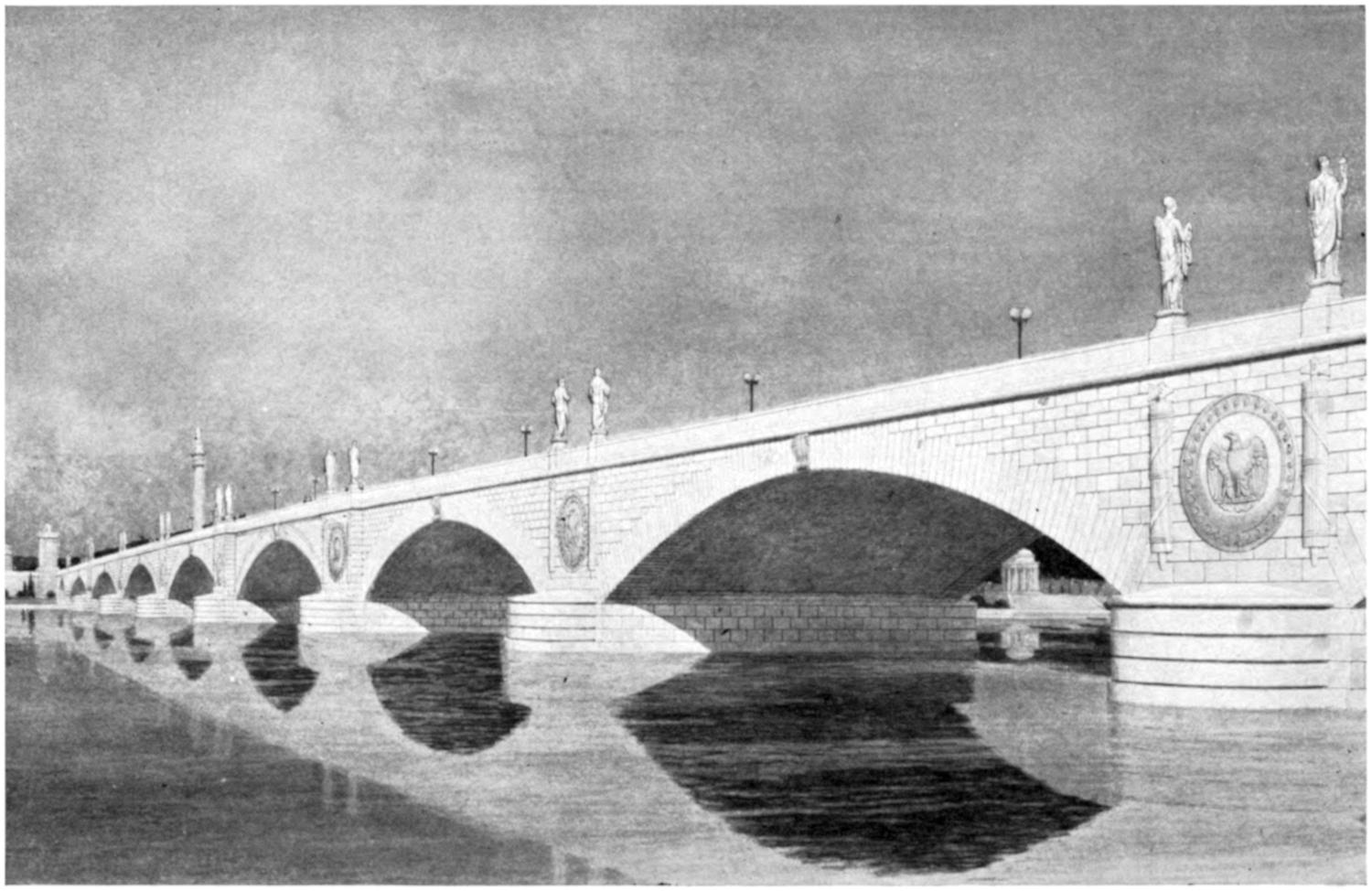
ARLINGTON MEMORIAL BRIDGE, ARCHITECTS’ DESIGN
The need of a bridge direct to Arlington National Cemetery was most
urgently felt on Armistice Day, November 11, 1921, when the remains of the
Unknown Soldier were entombed. Led by President Harding and officials of this
Government and of many foreign countries, thousands of people who made the
trip to Arlington did so under most difficult circumstances, because of the crowded
traffic conditions. The Commission of Fine Arts was in session at the time, and
at once recommended to Congress the
preparation of plans for an Arlington
Memorial Bridge, with an initial appropriation
of $25,000. Congress
responded quickly and made the appropriation
available for expenditure
by the Arlington Memorial Bridge
Commission, by act approved June
12, 1922. On April 22, 1924, the commission
submitted to Congress a comprehensive
report on the subject and
a set of approved plans that contemplated
an expenditure of $14,750,000
for the project. Congress adopted
the report and plans and has made the
necessary funds available for the construction
work as fast as the project
developed. The architects of the bridge are McKim, Mead & White, of New York
City, who are noted for the many great and beautiful classical structures they
have built throughout the United States,
as the Boston Public Library, the library
at Columbia University, the Pennsylvania
Railroad Station in New York City,
and the McKinley Memorial at Niles,
Ohio. This firm also had charge of the
building of additions to the White House
during the administration of President
Roosevelt.
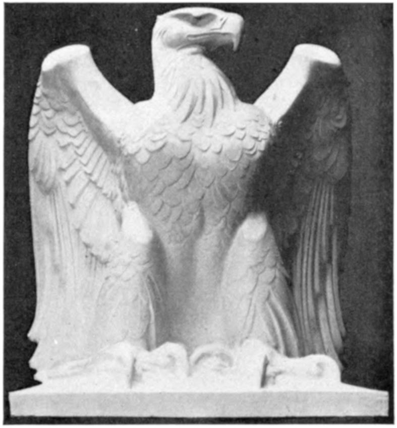
EAGLE SURMOUNTING PYLONS
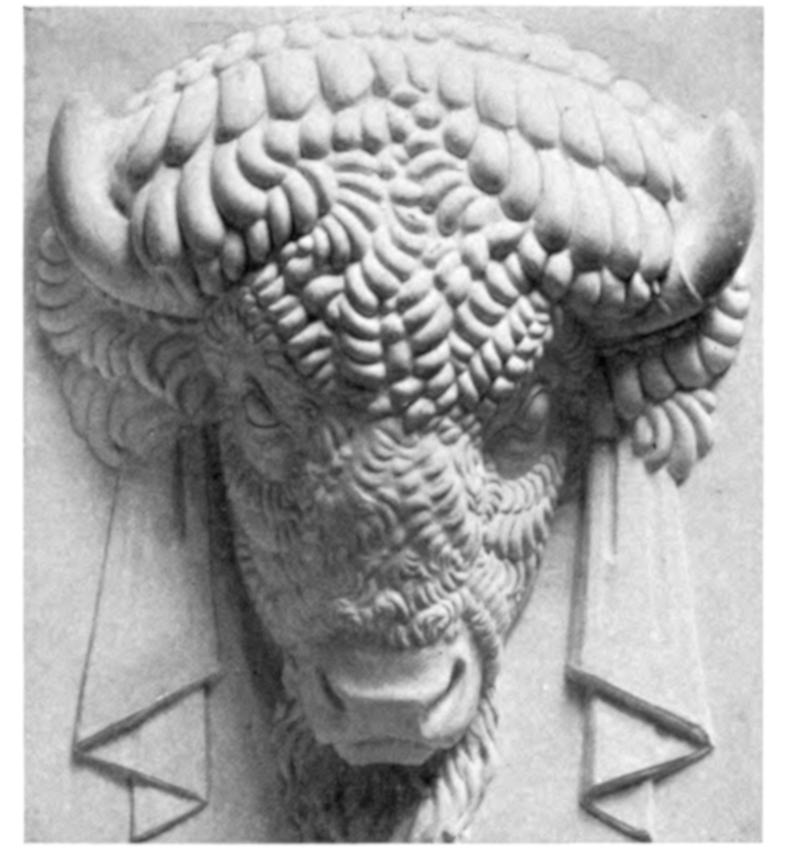
BISON HEAD
The bridge extends from the Lincoln
Memorial to Columbia Island, has a
length of 2,138 feet, and is 90 feet wide,
the width of Fifth Avenue in New York
City. The bridge has been built as low
as possible, consistent with good proportions,
in order not to interfere with the
view of the Lincoln Memorial from
Columbia Island. There are 6 lanes on the bridge, each 10 feet wide, and 2 sidewalks,
each 15 feet wide. The balustrade is 4 feet high. Suitable lighting is also provided.
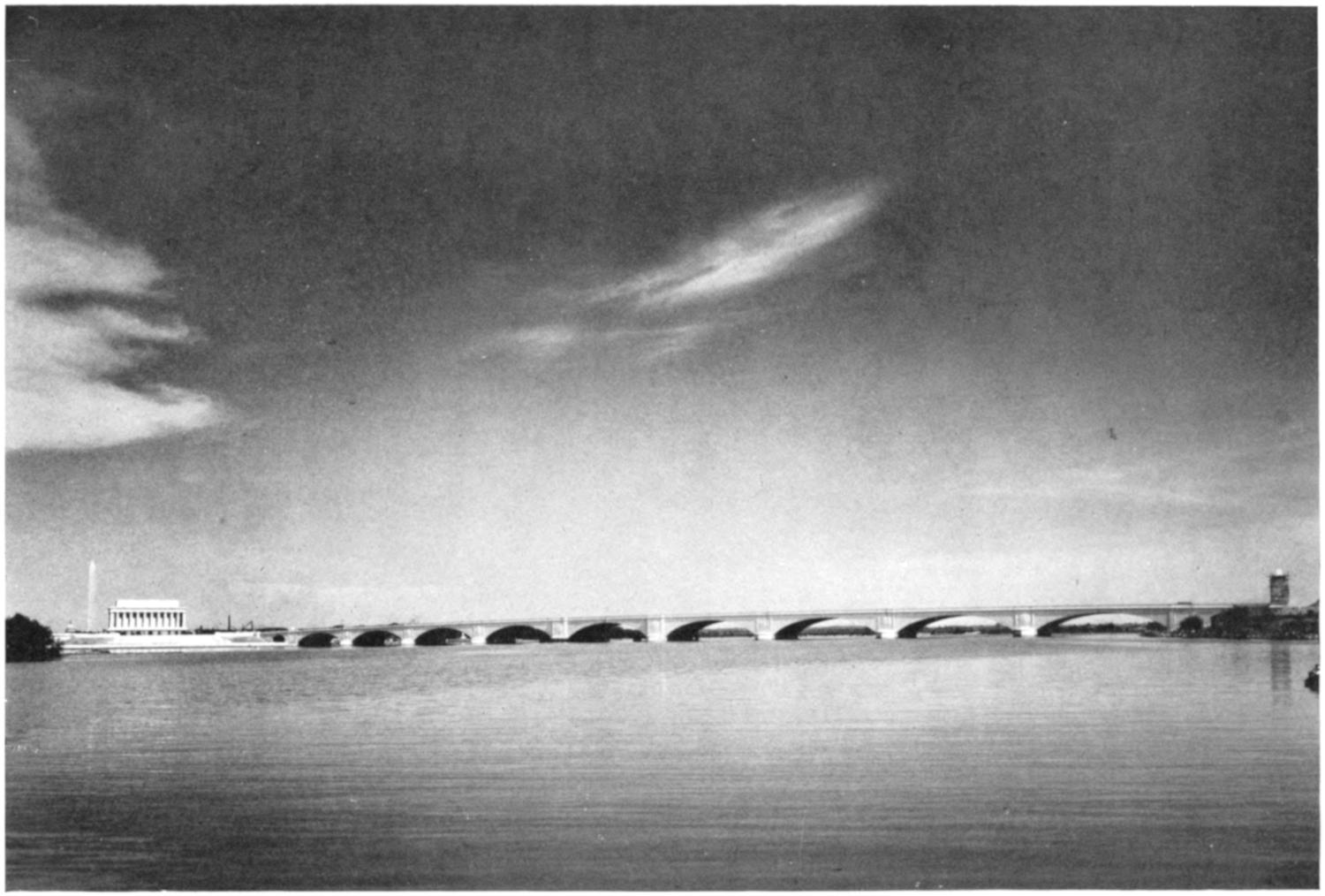
Courtesy of Horydczak
ARLINGTON MEMORIAL BRIDGE
The bridge has 9 segmental arches of 166-foot span at the ends of the bridge
and spreading gradually to 184 feet at the center. The terminal arches rise to a
point 28 feet above average water height, increasing gradually to 35 feet in the
central arch. The piers are 32 feet wide and are firmly embedded in rock 35 feet
below water. The superstructure is built of North Carolina granite.
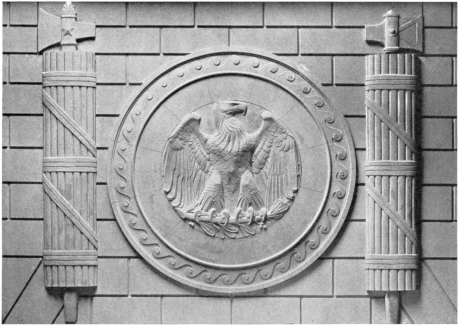
EAGLE AND FASCES
At the entrance to the bridge at the Lincoln Memorial there will be two large
sculptural groups, each 16 feet high. The pylons at the Columbia Island end of the
bridge, which are 35 feet high, are surmounted by eagles 8 feet high, each cut out of
a solid block of granite, according to the design of C. Paul Jennewein, sculptor.
At the sides of the bridge appear large sculptured disks, each 12 feet in diameter,
and at the keystone of the arches there are buffalo heads 6 feet in height.
These were also designed by Mr. Jennewein.
The two sculptural groups at the entrance to the bridge will be symbolic of
War. They were designed by Leo Friedlander, sculptor. At the entrance to the
Rock Creek Parkway there will be two sculptural groups symbolic of Peace and
the arts of Peace, designed by James E. Fraser, sculptor. There will be appropriate
inscriptions carved on the bridge.
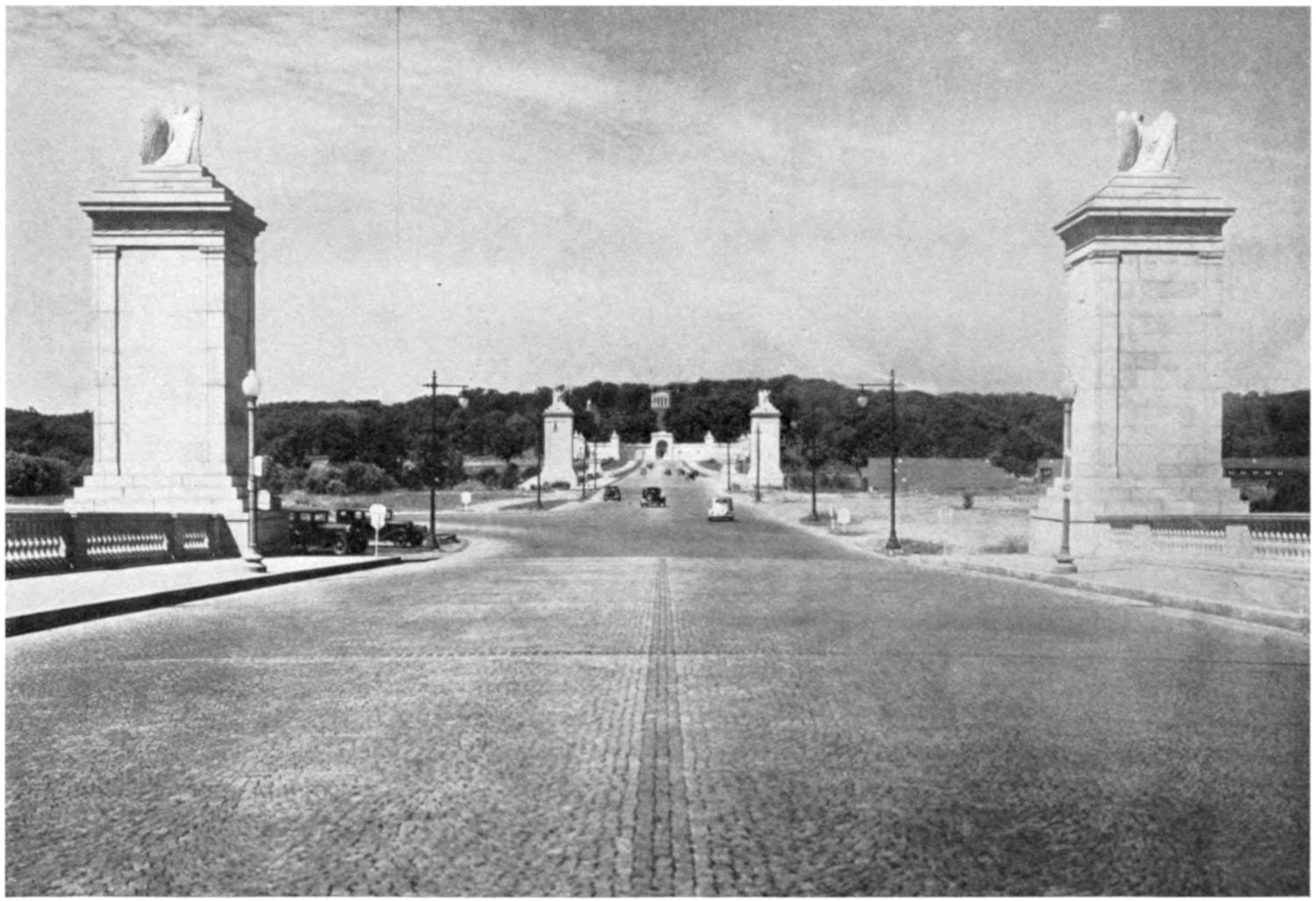
COLUMBIA ISLAND PLAZA AND MEMORIAL AVENUE TO ARLINGTON NATIONAL CEMETERY
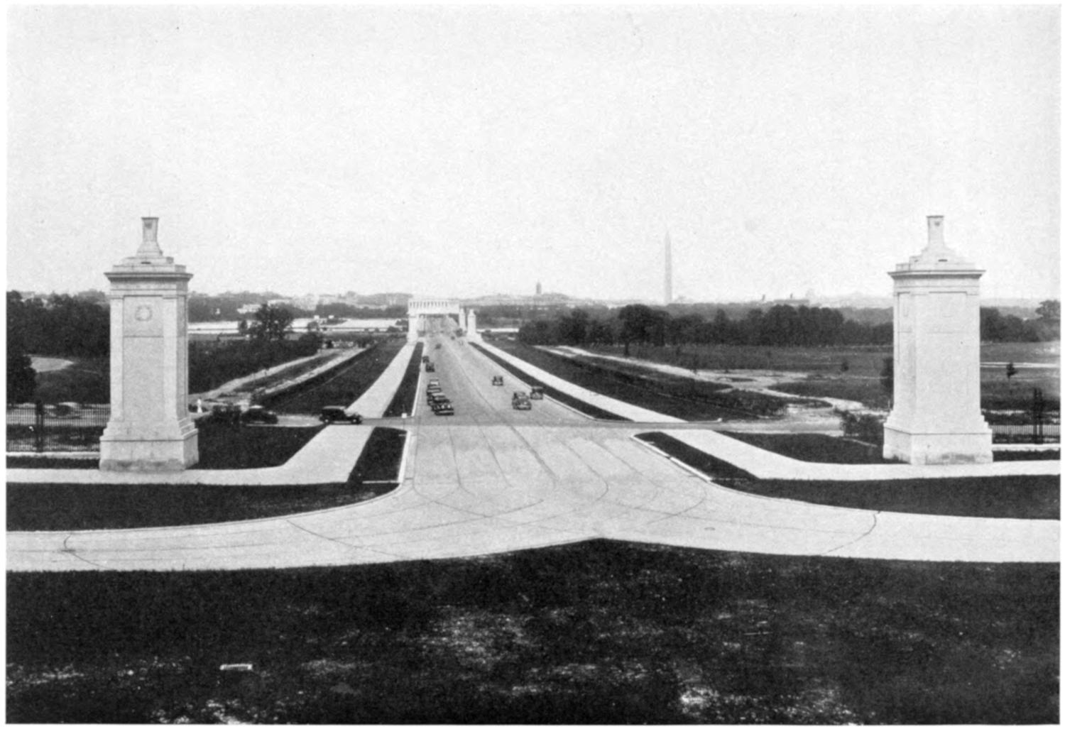
THE ARLINGTON MEMORIAL BRIDGE DEVELOPMENT, LOOKING TOWARDS THE LINCOLN MEMORIAL
At the center of the bridge is a drawspan, each leaf of which has a length
of 92 feet, the height of an 8-story building. One minute is required for opening
and closing the drawspan, which is operated by electricity. Each leaf weighs
6,000 tons. It is in itself an interesting achievement in bridge engineering.
From Columbia Island westward there is the boundary channel bridge. From
there to the Arlington National Cemetery is a memorial parkway 240 feet
wide, 2,200 feet in length, lighted, lined with planting, and providing space at
intervals for memorials.
At Arlington National Cemetery there is a large memorial entrance, from
which walks and driveways lead to the Tomb of the Unknown Soldier at the
Memorial Amphitheater and to Arlington House.
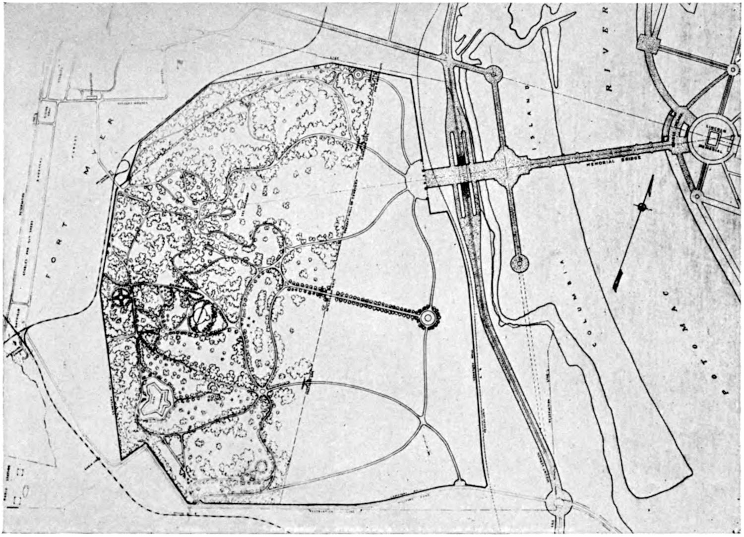
PLAN FOR DEVELOPMENT OF GREATER ARLINGTON
Not only was the Arlington Memorial Bridge built in a period of 7 years,
but one of the finest compositions in city planning has been carried out in connection
with it. In addition to the treatment on Columbia Island Plaza and the
approach to Arlington National Cemetery, there is also the great plaza at the
approach to the bridge at the Lincoln Memorial, a sea wall for the Riverside
Drive leading to it, and the water gate—steps of granite 215 feet wide—nearby.
The bridge was dedicated and opened for travel in 1932.
Chapter XIX THE PARKS OF THE DISTRICT OF COLUMBIA — LAFAYETTE PARK — POTOMAC PARKS — JAPANESE CHERRY TREES — MERIDIAN HILL PARK — ROCK CREEK PARK — ANACOSTIA PARK — NATIONAL ARBORETUM
The park system of the National Capital is under the jurisdiction of the
National Park Service, Department of the Interior.
Since 1871 in many ways, particularly municipal affairs, the National Capital
has been in the lead among American cities. Having begun with a logical and
well-thought-out plan for the original city, the new Federal City was provided
with an ample system of public reservations and parks.
However, in the early days of the city there was so much unoccupied land
that it was hard to believe there would ever be any necessity for parks and open
spaces developed and maintained at public expense. For three-quarters of a
century Washington was so spread out within the borders of the original plan
that the street rights-of-way and public grounds reserved by the L’Enfant plan
seemed to be entirely out of scale with the needs of the city and were looked
upon by some as a burden rather than as a benefit. It was not until the increase
in population, which has continued steadily since the Civil War, and the congestion
of the streets in recent years with automobiles and a great volume of traffic,
that the building lots have been occupied with structures and the full width of
the streets needed for traffic, so that the public reservations have become the
only refuge for the play of children and the recreation of older people.
It is, therefore, easy to understand the lack of appreciation of the city park
system during the first half of the nineteenth century. A few far-sighted individuals
only realized the necessity for preserving these reservations until they
would be needed as breathing spaces in a thickly settled city, and they had to
wage a persistent and hard-fought campaign through the years against those who
constantly wanted to sell off the public reservations for building development
of some kind or other, or to have the Government itself use them for buildings.
In the two or three cases in which the latter was done we now have reason to
regret it; in a few cases in which the reservations were sold the Government is
now having to buy them back at considerable cost. It was not a matter of
little importance which led President Thomas Jefferson to exclaim: “How I
wish that I possessed the power of a despot.” The company at the table
stared at a declaration so opposed to his disposition and principles. “Yes,” continued
he, in reply to their inquiring looks, “I wish I was a despot, that I might
save the noble, the beautiful trees that are daily falling sacrifices to the cupidity
of their owners, or the necessity of the poor.” “And have you not authority
to save those on the public grounds?” asked one of the company. “No,”
answered Mr. Jefferson, “only an armed guard could save them. The unnecessary
felling of a tree, perhaps the growth of centuries, seems to me a crime little
short of murder; it pains me to an unspeakable degree.”
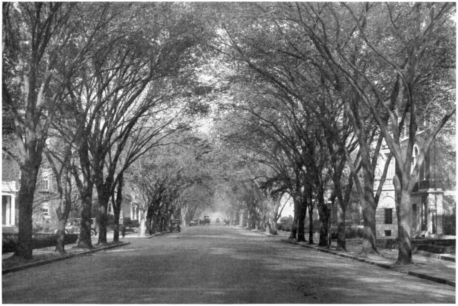
NEW HAMPSHIRE AVENUE, NORTHWEST
The same desire to cut down trees in order to make room for more concrete
and masonry persists to this day and can only be controlled by constant vigilance.
The importance of open spaces and city parks, developed into beauty spots by
the art of the landscape architect, should be evident to all.
As a matter of fact, perhaps the most unusual and original feature of the
L’Enfant plan was the idea of building the city about two coordinate axes of
parks—one a park system nearly a third of a mile wide, leading from the Capitol
westward to the Potomac River, and the other the same width, leading from
the White House south to the river, with the Washington Monument at their
intersection. This was an innovation and a departure from the usual development
of a city about a commercial street—a main street or a market street.
Provision was made in the plan for such a great commercial street on the diagonal
of the triangle, the avenue joining the Capitol with the White House, and
named Pennsylvania Avenue, for the State in which the Federal Government
had up to then spent the greater part of its life.
Much of the Mall leading westward from the Capitol was unfortunately
taken up by the estuary of Tiber Creek, which overflowed at high tide. It was
the intention of Major L’Enfant and his urgent recommendation that this creek
be confined to a canal which he proposed to construct along the northern part
of the proposed park. This canal would not only afford water transportation for
heavy and bulky materials to and from the business part of the city but at the
same time would be a water feature of the proposed park. Unfortunately,
while the canal was built, Tiber Creek was not entirely confined to it, and its
estuary was allowed to continue to overflow the Mall area and thus delay its
development.
When the Washington Monument was located, instead of being placed at the
exact intersection of the two park axes, it was placed on a natural hill near by
which was safely above tide level. The idea of an avenue from the Capitol to
the Washington Monument seems to have been abandoned for many years, and
when the Smithsonian Institution was built in the Mall the plan made by A. J.
Downing was adopted for the entire Mall, superseding that of L’Enfant. These
were the days when the so-called naturalistic park development was in vogue,
and everything had to be consciously picturesque. No road or path could be
straight, and no regularity in planting or plan was tolerated. The L’Enfant plan
was again disregarded in laying out the Department of Agriculture grounds in
1867. With the avenue of the Mall out of the picture, there was no reason
apparent to those in authority for refusing permission to the Pennsylvania
Railroad Co. to run its tracks across the Mall and build its passenger station in
the Mall itself, at Sixth Street.
It was this station, however, which brought about the restudy of the plan
of Washington and the return to the Mall development in accordance with
L’Enfant’s principles, for Col. Theodore A. Bingham, then in charge of Public
Buildings and Grounds, on hearing that legislation was about to be passed
authorizing the railroad to build a viaduct across the Mall to this station, and
realizing that this expensive structure would probably make the carrying out of
L’Enfant’s plan impossible, got the plan out of the files and started a campaign
to prevent the legislation from passing and to rehabilitate the authority of the
L’Enfant plan. He was fortunate in finding those among his superiors who appreciated
the situation, and in securing the very wise and effective help of Senator
McMillan and of the American Institute of Architects.
Indeed, the interest in the National Capital, excited in this way and more or
less focused upon it by the centenary of its occupation as the seat of the Federal
Government, resulted in the McMillan Park Commission of 1901 and its very
valuable recommendations for the development and beautification of the National
Capital. In recent years the development of the Mall in accordance with the plan
of 1901 has been authorized by Congress and is being carried on step by step as
it becomes possible in connection with the public-buildings program.
The smaller reservations and parks suffered neglect equally, as was to be
expected. In making his plan L’Enfant had located public reservations at various
important street and avenue intersections. Where more than two streets crossed
at one point, a circle or square to take up and distribute the traffic among the
various streets was almost necessary, or at least would be necessary to-day, and
it is fortunate that what L’Enfant did for appearance should now be proving to
have real utilitarian value. His own ideas about the purpose and function of
these squares are expressed in his report, as follows:
The center of each Square will admit of Statues, Columns, Obelisks, or any other ornament
such as the different States may choose to erect: to perpetuate not only the memory of such individuals
whose counsels or Military achievements were conspicuous in giving liberty and independence
to this Country; but also those whose usefulness hath rendered them worthy of general
imitation, to invite the youth of succeeding generations to tread in the paths of those sages, or
heroes whom their country has thought proper to celebrate.
The situation of these Squares is such that they are the most advantageously and reciprocally
seen from each other and as equally distributed over the whole City district, and connected by
spacious avenues round the grand Federal Improvements and as contiguous to them, and at the
same time as equally distant from each other, as circumstances would admit. The Settlements
round those Squares must soon become connected.
This mode of taking possession of and improving the whole district at first must leave to
posterity a grand idea of the patriotic interest which prompted it.
While Lafayette Park, in front of and north of the White House, was graded as
early as 1826, it was not planted and really developed as a park for some time after
that. In 1853 the Clark Mills statue of Jackson was placed in it as its central feature.
Similarly, the equestrian statue of Washington brought about the improvement
of Washington Circle at the westerly end of Pennsylvania Avenue. Garfield
Park, now one of the most beautiful parks in the city, was graded and to some
extent improved in 1838, in connection with its use as a nursery for trees to
ornament the public grounds and Pennsylvania Avenue.
A botanic garden, which had been talked about from the very first, and was
finally brought to a head by the necessity for providing for the botanic collection
of the Smithsonian Institution, was gradually established at the east end of the
Mall between First and Third Streets. It did not become a really important feature
of public benefit to the city until 1852, when it was placed in the hands of
William R. Smith, who had had experience in Kew Gardens in England and made
sufficient progress for the Botanic Garden to be described in 1859 “as a pleasant
place to visit, with gravel walks, bordered with box, rare plants, and trees.”
How little these parks were needed then to give the requisite touch of nature
in urban surroundings and to what extent the National Capital still retained its
character of a few scattered settlements in the midst of farm land is shown by the
fact that the one or two which had been improved had to be fenced in to protect
their young trees and shrubs against the cattle, goats, and sheep that roamed the
streets. As late as 1870 the danger to pedestrians from the domestic animals
allowed at large was the subject of protest in formal speeches in Congress. During
the Civil War many of the public reservations were used for camps, hospitals,
and drill grounds, which use naturally did not help their appearance.
While the parks and reservations not used by the Federal Government remained
relatively unimproved and in the condition of unsightly village commons, the
grounds around the public buildings of the Federal Government were given a little
more attention and were gradually improved. The north grounds of the White
House were fixed up in Jefferson’s administration and rearranged from time to
time subsequently, but so little importance was attached to appearances that the
south grounds of the White House remained unimproved through the first half of
the century. It was not until after the Civil War that real importance was
attached to the beautification of the grounds and the systematic planting of trees
in the streets. The public buildings and grounds were turned over to the Chief
of Engineers in 1867, and since that time have received a great deal more attention
than ever before. In 1898 the municipal parks were transferred from the city
government to the Chief of Engineers and have been systematically improved since.
With the street trees and the improved city parks scattered about the central
part of the city, Washington has acquired a characteristic appearance of its own
and offers the charm and amenities which other American cities were not wise
enough to provide for themselves.
As the city grew outside of the original plan, a few projects for large and extensive
parks were adopted. The beautiful Rock Creek Valley was purchased for a
park and for the Zoological Garden under the act approved September 27, 1890;
and provision was made by the act approved August 2, 1882, for the filling in of
the Potomac tidal flats. This latter project has developed nearly 1,000 acres of
reclaimed park land extensively used for recreation of all kinds. It also extended
the axis of the Mall about three-fourths of a mile beyond what was originally
planned, thus affording a suitable terminal in the site for the Lincoln Memorial.
In 1893 the evils of new, rapidly growing subdivisions outside the limits of the
L’Enfant plan—laid out without any regard to the latter—were sufficiently recognized
to bring about the passage of legislation for making a highway or street plan
of the entire District of Columbia. This law was further amended in 1898 and resulted
in a street layout followed ever since, with modifications from time to time.
But this, being a street plan, made no provision for the extension of the system of
city parks into the new territory, nor for merging the newly authorized major
park projects with the street system. Hence one of the major duties with which
the McMillan Commission was charged in 1901 was the design of appropriate
parks outside of the L’Enfant plan.
The high talents and national reputation of the members of this commission
insured that their recommendations for the beautification and development of the
Capital would really be a new, grand, basic plan. After mature study, in the light
of the finest examples the world had produced, this commission reinstated the
authority of the L’Enfant plan and carried it to its logical conclusions in new territory.
This action reflected credit not only on the genius of L’Enfant but also on
the commission itself, which had the wisdom to recognize the supreme merit of
the original plan and the good sense, and modesty, to build upon it.
However, the 1901 commission’s plan never received general legislative sanction,
and approval of some of its individual major projects was obtained only
after great effort and much urging by the executive authorities and some far-sighted
Members of the Congress. First, the railroads arranged for a Union
Station (1903), and the Pennsylvania Railroad Co. removed its tracks and station
from the Mall, so that to-day the traveler by rail enters the city through a great
monumental portal and finds himself in sight of the Capitol. In 1913 the Rock
Creek and Potomac Parkway was authorized, to connect the Rock Creek Valley
with the Potomac Park system. In 1911 the Lincoln Memorial and the development
of the Mall between it and the Washington Monument were provided for. A
law approved in 1901 provided for construction of the General Grant Memorial
at the east end of the Mall at the base of Capitol Hill, while a memorial to
Gen. George G. Meade, located in relation to the Grant Memorial, was subsequently
(1926) accepted from the State of Pennsylvania. In 1924 the Arlington
Memorial Bridge was approved.
In 1910 the National Commission of Fine Arts was set up to—
advise upon the location of statues, fountains, and monuments in the public squares, streets, and
parks in the District of Columbia, and upon the selection of models for statues, fountains, and
monuments erected under the authority of the United States and upon the selection of the artists
for the execution of the same.
This commission, which has numbered in its membership the greatest architects
and artists of the country, has helped greatly not only in raising the standard
of the public works of art but also in securing the adoption of important parts of
the 1901 plan.
With the general paving of streets, the filling of vacant lots with houses, and
the increasing automobile traffic, it became necessary to provide safe play
places for children and necessary recreation facilities for adults. In response to
this demand, a system of playgrounds was adopted and a playgrounds department
set up in 1911.
While all these projects were good and necessary, they failed to keep pace
with the needs of the rapidly growing city. Intrusted to different executive
authorities, these efforts could not be properly coordinated, and occasionally
were designed without the fullest consideration of other projects affected by
them. The proposed system of playgrounds was not extended as intended, and
even if it had been would have proved inadequate. Lands recommended for
park use in 1901 were built on with expensive improvements and put to private
or commercial uses.
The progress made in the quarter century 1901 to 1926 was so unsatisfactory
that a Park and Planning Commission was established (1924, amended 1926)—
to develop a comprehensive, consistent, and coordinated plan for the National Capital and its
environs in the States of Maryland and Virginia, to preserve the flow of water in Rock Creek,
to prevent pollution of Rock Creek and the Potomac and Anacostia Rivers, to preserve forests
and natural scenery in and about Washington, and to provide for the comprehensive, systematic,
and continuous development of park, parkway, and playground systems of the National Capital
and its environs * * *.
Besides its city-planning work, this commission recommended a complete system
of city parks, playgrounds, and recreation centers, as well as a system of
regional parks.
The main new city park feature is a circumferential parkway joining the old
Civil War forts built to defend the city against attack, but now too near urban
development to be of any military efficacy. But the sites of the forts themselves,
besides the interest of the remains of the military works,
are excellently suited
for local parks, and because of their commanding positions afford many unique
and magnificent views, while the drive joining them, besides giving opportunity
for an unusually picturesque pleasure drive, will provide very much-needed
cross connections of great traffic value between the radial streets entering the city.
There is to be a series of neighborhood recreation centers from 10 to 20 acres
in size for each residential community, with playgrounds for small children interspersed
at intervals of about half a mile. The recreation system is to comprise
fields for major sports and swimming pools and constitutes a reasonable effort to
meet the policy that “every child shall have a place to play.”
The regional park system contemplates the acquisition of the shores of the
Potomac from Mount Vernon to and including Great Falls as a memorial park
in memory of George Washington. This will include an area of unique historical
and scenic value of such picturesque attractiveness as can not be found in such
close proximity to any other great city, and a possible natural playground within
reach of millions of the city dwellers of the Atlantic seaboard.
The new memorial highway to Mount Vernon is an important element of
this project, which was completed in 1932. In the north end of the project, near
Great Falls, are the remains of the Old Potomack Canal, of which George Washington
himself supervised the construction, while on the Maryland shore is the
Chesapeake and Ohio Canal, formally initiated by President John Quincy Adams
in 1828, and a most perfect example of the type of canal which brought about the
development of our country in the first half of the nineteenth century. Its quiet
waters and overgrown towpath and banks have unusual charm and afford a most
charming and interesting contrast with the torrential river below in its rugged
canyon.
As a natural terminal on the Maryland bank of the river, nearly opposite
Mount Vernon, is picturesque old Fort Washington designed by Major
L’Enfant after the War of 1812, and one of the best-preserved forts of this type
in the South Atlantic States. From its parapet one can enjoy one of the best views
of the Capital City L’Enfant so gloriously and successfully planned.
The regional park system also proposes the extension of Rock Creek Park
into Maryland and various other similar connections with projects in the District
of Columbia. Perhaps the most important is the opportunity for a parkway, like
the Bronx Parkway, between Washington and Baltimore, following up the Anacostia
Valley, Northwest Branch, and Indian Creek.
The recommendations of the National Capital Park and Planning Commission
as to parks were given legislative sanction by the act approved May 29, 1930,
and are being carried out as fast as funds are made available. The opportunities
here for a nearly ideal park and playground system are so unusual that the entire
country must be interested in seeing their early completion. Other cities can
have monumental buildings, but no other large city can still have at reasonable
cost the park and recreational facilities essential to the amenities of life and the
raising of a new generation under conditions assuring, for poor and rich alike, a
sound mind in a sound body.
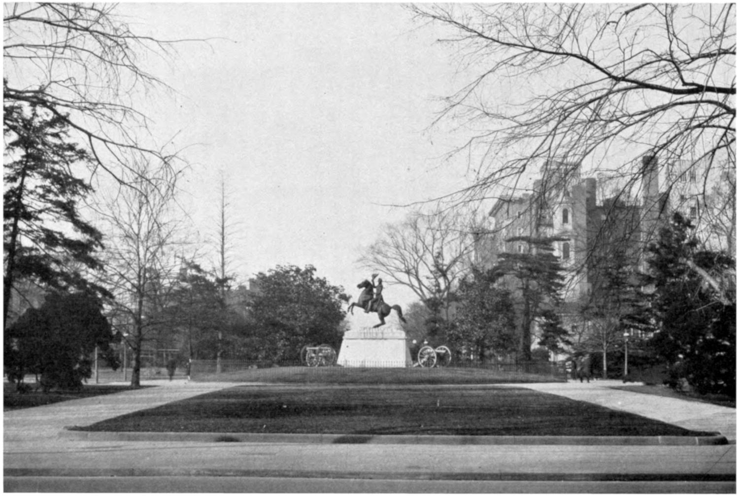
LAFAYETTE PARK, SHOWING STATUE OF GEN. ANDREW JACKSON
The L’Enfant plan shows the ground now known as Lafayette Park, or
Lafayette Square, comprising about 7 acres, to have been a part of the President’s
Park, extending on the north side from H Street southward to the Monument
Grounds, between Fifteenth and Seventeenth Streets. Similarly, the subsequent
Ellicott plan and the Dermott plan make provision for such a spacious park to
surround the President’s House. These plans show no street dividing Lafayette
Park from the White House Grounds.
When L’Enfant prepared his plan this was a neglected area, a common
without trees. A race course was laid out, in 1797, on the west side of the
grounds, extending westward to Twentieth Street. Huts for workmen who
helped build the President’s House were erected on the grounds, and when these
were removed a market was established there. This was later relocated farther
to the center of the town, on Pennsylvania Avenue, between Seventh and Ninth
Streets. Thomas Jefferson first undertook really to improve the grounds and
marked the east and west limits as they are to-day, called Madison Place and
Jackson Place, respectively.
Until 1816 the only important building that had been erected adjacent to
Lafayette Park was St. John’s Church. Then, in 1818, the Dolly Madison House
was built, and in 1819 the Decatur House. From then on and for more than 50
years following Lafayette Park became the center of social life in Washington.
Nearly every house surrounding it became noted for its historical associations.
However, the park seems to have been neglected the greater part of this period.
In 1840 there was an ordinary fence around it.
Just when this park area took the name of Lafayette Park is not definitely
known. As has been said, originally this area was a part of the President’s Park,
and D. B. Warden, in his volume entitled “Description of the District of Columbia,”
published in 1816, refers to it as such by saying, in connection with rates of
fare for hackney carriages—
From the President’s Square to Greenleaf’s Point, and also to Hamburg Wharf, or to the
western limits of the city, the rate is but 25 cents, and half the distance one-half that sum.
In his voluminous history of Lafayette Square, Gist Blair states—
Its name has come from the people and arose after this visit of Lafayette to the city in 1824.
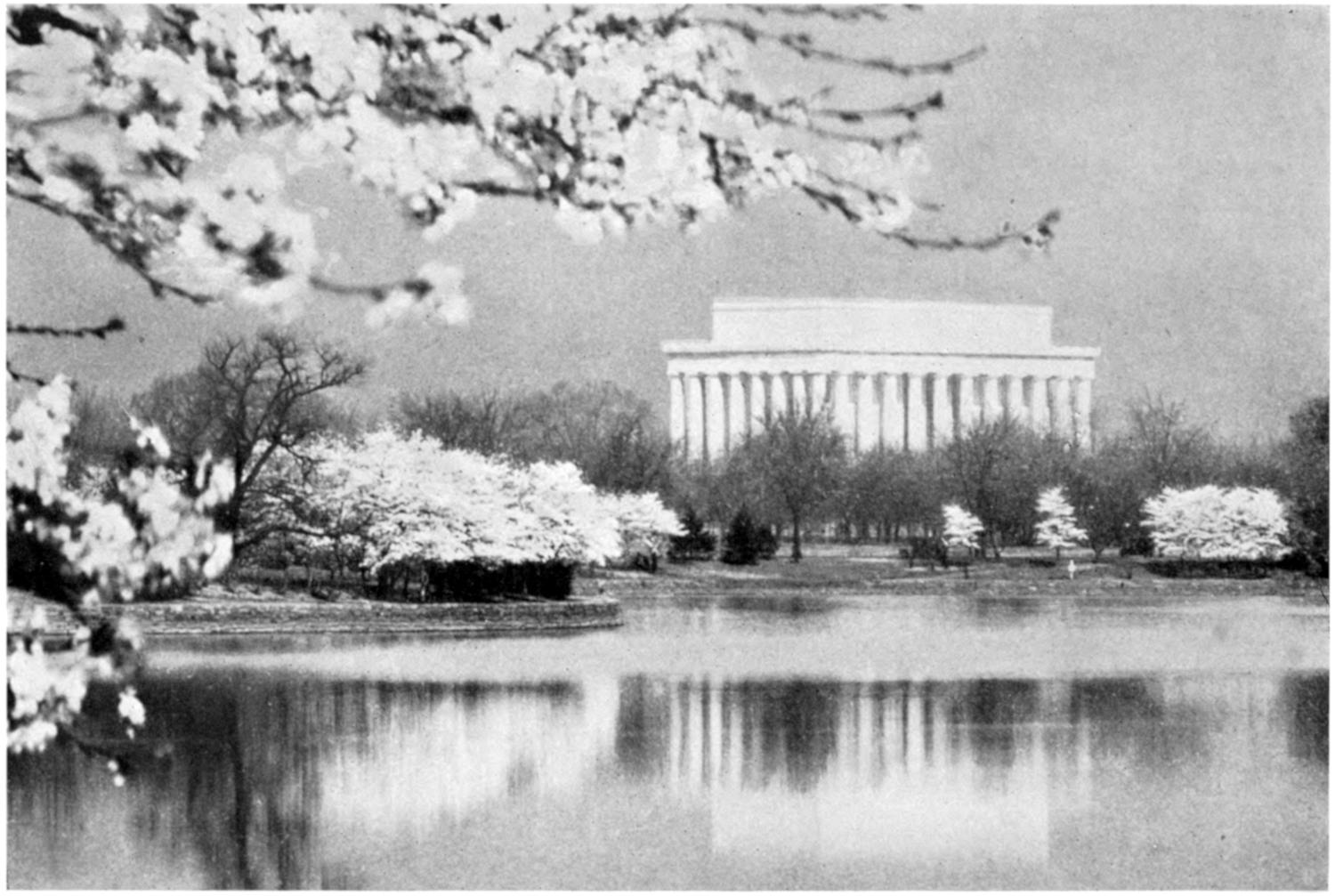
THE LINCOLN MEMORIAL
Again, speaking of the many social events held in Washington during this
visit of Lafayette, Mr. Blair says:
Socially, the season of 1824-25 was the most brilliant Washington had seen, so it is natural to
understand how everyone at this time may have started to call this square Lafayette Square.
In the office of the National Park Service, Department of the Interior, there is
a map dated 1852, on which Lafayette Park is shown to be separated from the
White House Grounds. The first printed report of the Commissioner of Public
Buildings, on file in that office, is of the year 1857. In that report there is a
reference to Lafayette Square with an account of certain work being done there
in that year.
During more than a quarter of a century past the grounds have been properly
maintained as a park. To-day there are five notable monuments in Lafayette
Park; namely, the Jackson, Lafayette, Rochambeau, Von Steuben, and the
Kosciuszko.
It is of interest to note from the L’Enfant plan of 1791 the absence of land in
the area known to-day as West and East Potomac Parks. Seventy-five years ago
the area had developed into a marshy region, which became so malarial as to
affect seriously the health of residents of the city. In 1901 the McMillan Park
Commission decided to extend the axis of the Mall westward three-fourths of
a mile, and as a result one of the greatest and most remarkable developments in
city planning has been accomplished, for at that time, in connection with the
park improvement project, the location of the Lincoln Memorial and the Arlington
Memorial Bridge was determined upon in plan, together with the Rock
Creek and Potomac Parkway development. The dredging of these swampy
regions by the United States Engineer Office resulted in the creation of West
Potomac Park, comprising 394 acres.
East Potomac Park is located along the Potomac River not far from the
Lincoln Memorial and has developed during the past few years into the most
prominent recreational park of the city. The golf course, field house, and picnic
groves are features of the park. It is one of the three great island parks of the
world and comprises 327 acres of land reclaimed from the Potomac River, with
a water front of 3⁵⁄₈ miles. The park is bounded by a motor drive, which is
lined with Japanese cherry trees. A canal to cross the park, connecting Washington
Channel with the Potomac River, is in plan.
The Japanese cherry trees along the Tidal Basin and the Potomac Park
Driveway attract thousands of visitors to Washington during the cherry
blossom season, which is early in April of each year. They are the gift of the city
of Tokyo to the National Capital. Upon arrival the first consignment of 2,000
trees was found to be infected by fungous diseases and insect pests, and thereupon
they were destroyed. In the winter of 1911-12 the city of Tokyo renewed
the gift, and in March, 1912, a consignment of 3,020 trees arrived in Washington.
These were examined by experts of the Department of Agriculture and pronounced
healthy specimens.
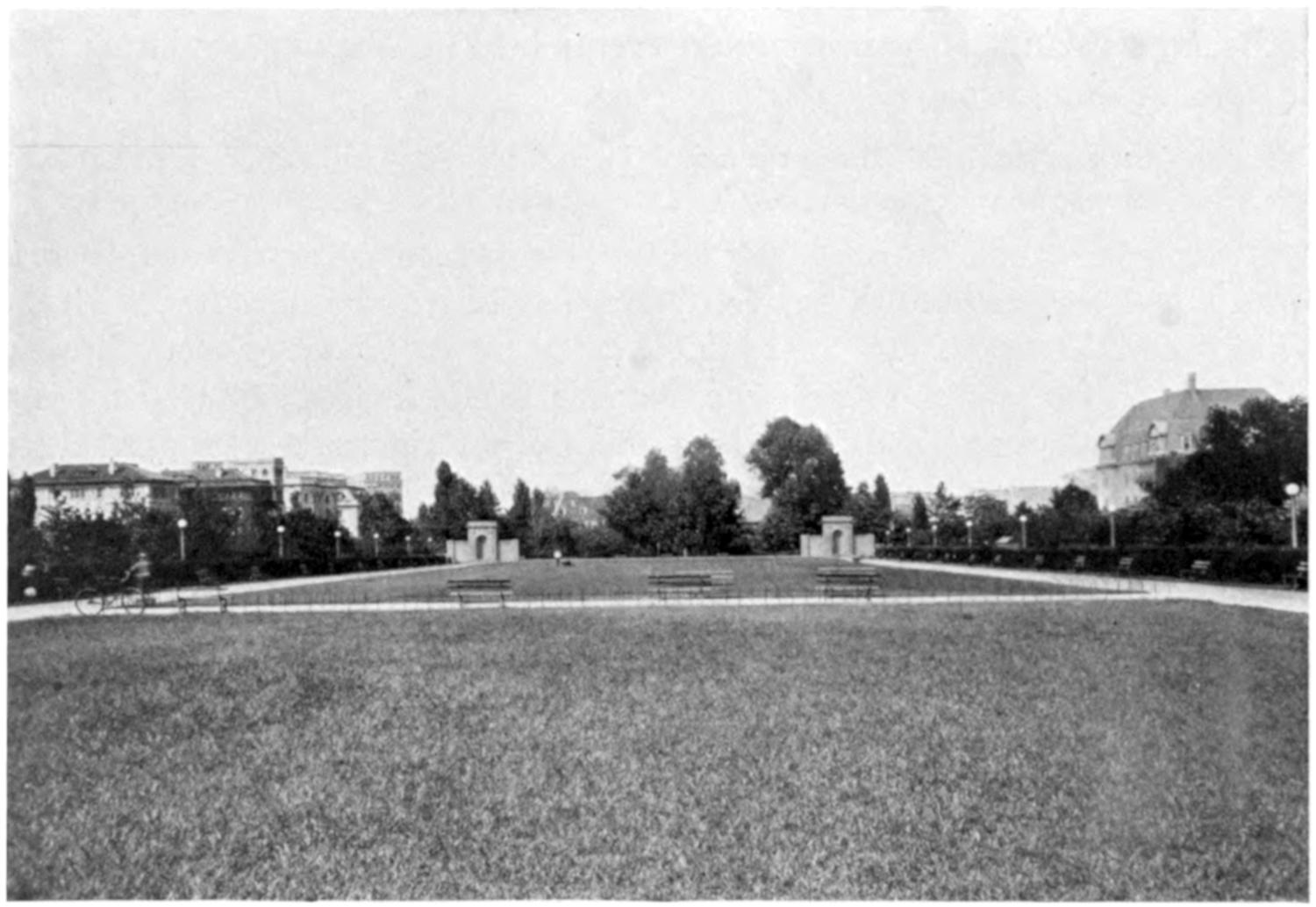
MERIDIAN HILL PARK—UPPER GARDEN
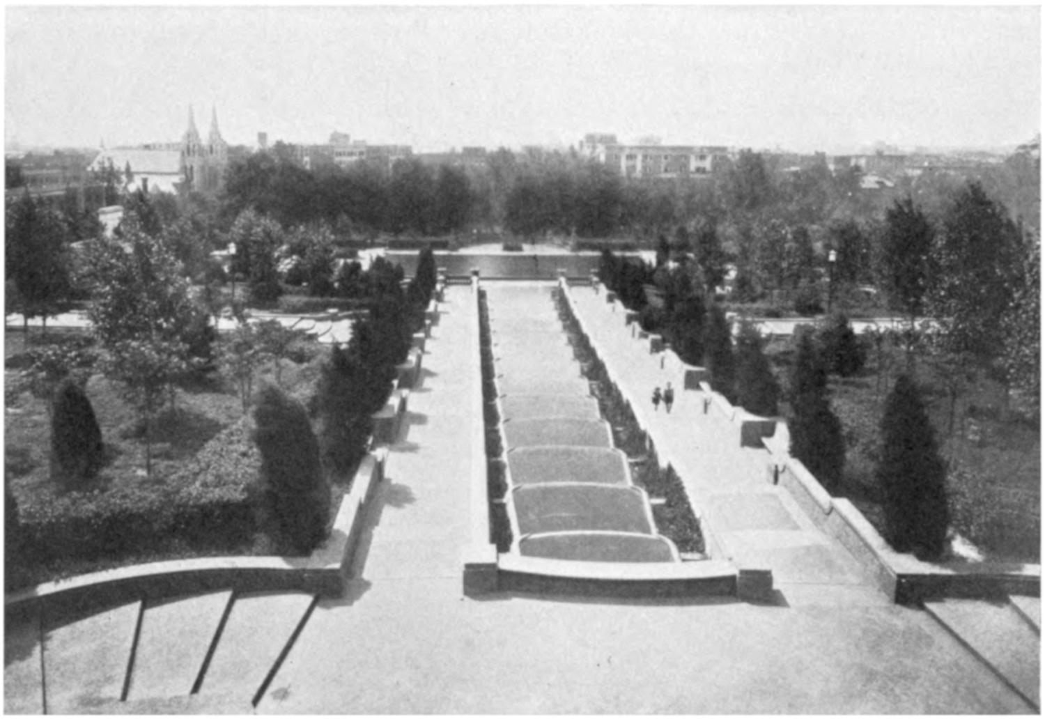
MERIDIAN HILL PARK—LOWER GARDEN
Arrangements were made immediately for planting them. Mrs. William
Howard Taft planted the first tree and Viscountess Chinda the second early in
April. When the news was received in Japan that the trees had been successfully
planted, the following message from Mayor Ozaki, of Tokyo, was received:
It will remain to the citizens of Tokyo a pleasing memory as well as civic pride that their small
offering will be permitted to contribute to the advancement of the beautiful Capital of the great
Republic which they all admire.
The cherry trees of Washington are almost entirely of the flowering species,
of the single and double blossom varieties; the former, planted at the edge of the
Tidal Basin, appear first. There they are near, also, to the Washington Monument
and the Lincoln Memorial, and with their tinted blossoms present a
charming vista. The double-flowering variety in East Potomac Park appears
about two weeks later.
Meridian Hill Park is located between Fifteenth and Sixteenth and W and
Euclid Streets NW. It comprises about 12 acres. The design for improving the
park has been completed and approved and a large-scale model of the southern
portion prepared for special study in carrying out the details.
In design Meridian Hill Park is similar to an Italian garden, containing an
upper and a lower garden, and as a formal garden of its kind there is no other like
it in the United States. The upper garden extends from Euclid Street about 900
feet south on a practically level stretch of mall to the grand terrace, which forms
the cross axis of the park. Concert groves and promenades, with niches for
statues and monuments in the hemlock hedge, are features of the upper garden.
This part of the park has been for the most part completed.
From the terrace a commanding view of the city is obtained. Immediately to
the south is a cascade, descending to a pool in the lower garden. East of the pool
there is a statue of President Buchanan, erected by authority of Congress as the
gift of Harriet Lane Johnston to the United States. In the lower garden there
is also a great exedra, forming the main point from which to view the cascades.
Along the sides of the lower garden are walks amidst planting, leading to the
upper garden. The main entrance to Meridian Hill Park is on Sixteenth Street.
A tablet here suggests the name given to the park. It bears this inscription:
THE STONE MARKING THE WASHINGTON MERIDIAN WAS FORMERLY LOCATED 52 FEET
9 INCHES WEST OF THIS TABLET, WHICH WAS PRESENTED BY THE ARMY AND NAVY CHAPTER
OF THE DAUGHTERS OF THE AMERICAN REVOLUTION, 1804-1923.
On the grand terrace is a copy of the famous Dubois statue of Jeanne d’Arc,
given by the Société des Femmes de France à New York to the National Capital.
There is also a statue of Dante in the lower garden, the gift of Chevalier Carlo
Barsotti, editor of a leading Italian newspaper of New York City. An armillary
sphere is in the great exedra of the lower garden.
While a million dollars could not buy the land occupied by Meridian Hill
Park, it is of interest to know that for the 110 acres, which extended from what
is now Florida Avenue to Columbia Road and east of Sixteenth Street, Commodore
Porter paid $13,000 in 1816.
One of the largest and most beautiful natural parks in the world is Rock
Creek Park, extending from the William Howard Taft Bridge northward to the
boundary line of the District of Columbia, and comprising 1,632 acres. Congress
authorized the creation of the park in 1890, with an appropriation of
$10,000. Adjacent to the park is the National Zoological Park.
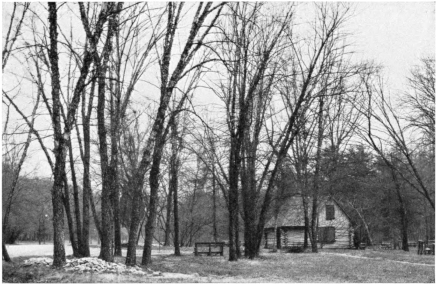
JOAQUIN MILLER CABIN IN ROCK CREEK PARK
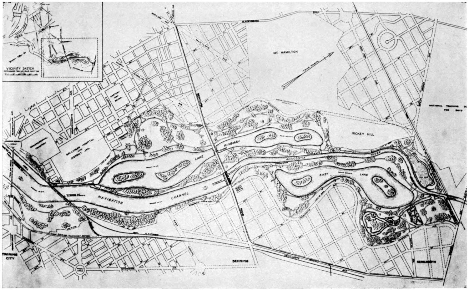
PLAN OF ANACOSTIA PARK
The plan for the development of this project provides for the reclamation of
what are known as the Anacostia Flats, along the Anacostia River, on the east
side of the District of Columbia, into Anacostia Park, of 1,100 acres. The distance
from the point near the War College to the District line is about 6 miles. The
park will be one of the largest and most beautiful waterside parks in this country.
The breaking of ground for the park took place August 2, 1923.
As has been related, more than three centuries ago, or in the summer of 1608,
Capt. John Smith, in an exploration of the tributaries of the Chesapeake Bay,
landed on these very banks. He found a tribe of peaceful Indians, the Nacotchtant
(Anacostans), numbering some 80 men, kind and well disposed, who did their
best to content Captain Smith and his fellow explorers. These Indians no doubt
made their home in this neighborhood on account of the abundance of game.
One of the largest water-lily gardens, the Shaw Lily Gardens, is situated opposite
Mount Hamilton, on the east side of the Anacostia River. It is thought
these ultimately will become part of the Anacostia Park. The Anacostia is
also a popular place for fishing, and it is expected fish ponds will be established
there later.
A large stadium and playground at the end of East Capitol Street, adjoining
Anacostia Park, is proposed. The National Arboretum will be adjacent to it
from Mount Hamilton eastward.
The movement to establish a National Arboretum was first definitely proposed
by Hon. James Wilson, Secretary of Agriculture, in his report for the fiscal
year 1899—
One in which can be brought together for study all the trees that will grow in Washington,
D. C., * * * furnishing complete material for the investigations of the Department of Agriculture,
and so managed as to be a perennial means of botanical education.
In 1918 the Commission of Fine Arts, at the request of the House Committee
on the Library, made a study of the problem of the location of a proposed botanical
garden and arboretum. After an elaborate study, conducted with the help of the
Department of Agriculture, the commission recommended the purchase of Mount
Hamilton and adjacent land, and Hickey Hill, together with the lands between
those heights and the Anacostia marshes, in northeast Washington. The report
of the commission encountered opposition, but its logic has prevailed.
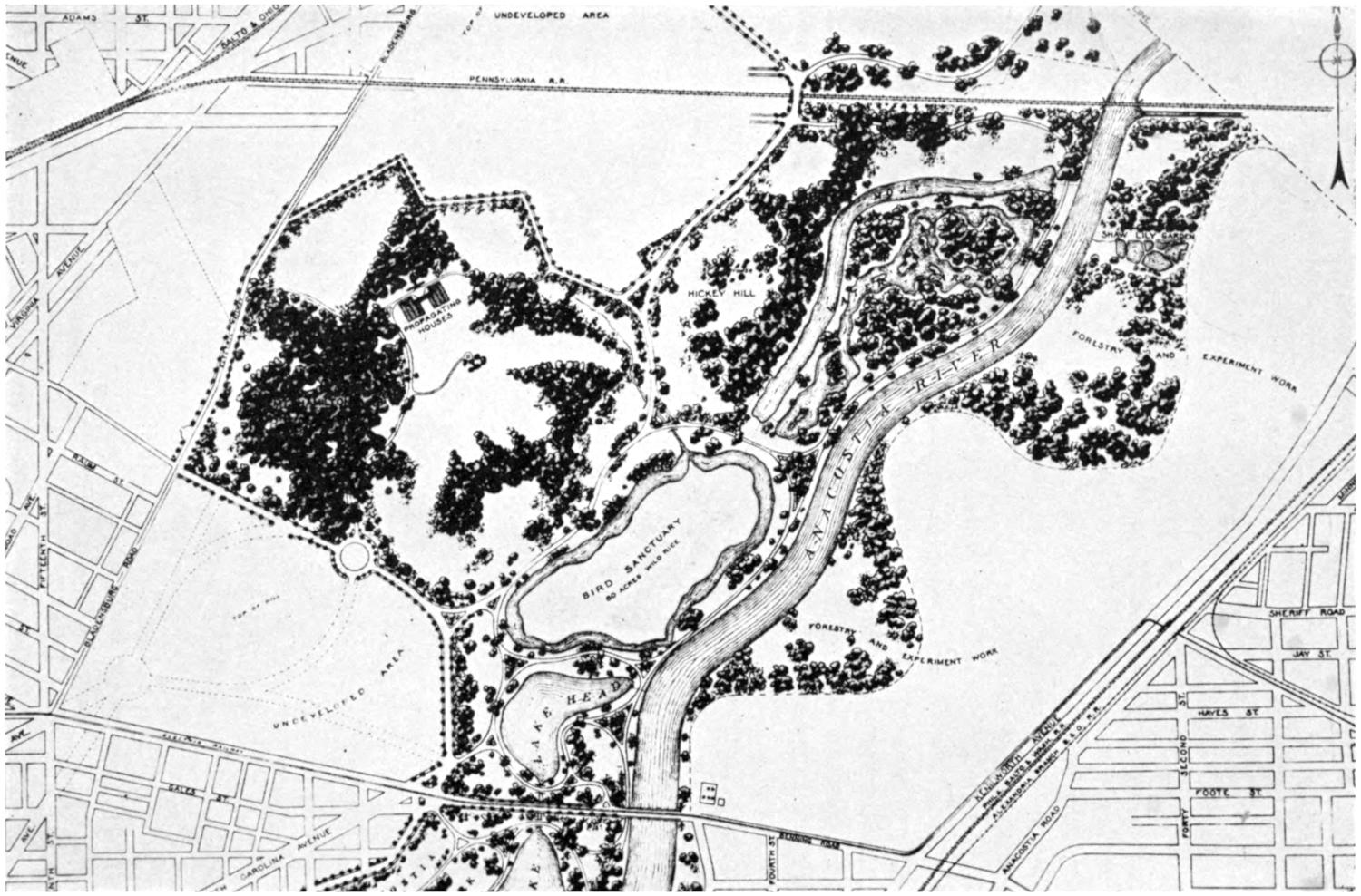
MAP OF NATIONAL ARBORETUM PREPARED BY THE NATIONAL COMMISSION OF FINE ARTS
The act providing for the establishment of the National Arboretum, approved
March 4, 1927, is one of the few measures that survived the filibuster in the
Senate on the closing day of that session, because of the untiring efforts of Senator
Charles L. McNary, of Oregon, chairman of the Senate Committee on Agriculture
and Forestry. Hon. Robert Luce, chairman of the Committee on the Library,
handled the bill in the House of Representatives. The sum of $300,000 was
authorized by the act for the National Arboretum, and this amount was subsequently
appropriated. The act provided also for the appointment by the Secretary
of Agriculture of an advisory council in relation to the plan and development of
the National Arboretum. To serve on this council the Secretary of Agriculture
appointed the following persons:
Frederic A. Delano, Washington, D. C., member of the Board of Regents,
Smithsonian Institution.
Henry S. Graves, New Haven, Conn., dean of the School of Forestry, Yale
University; fellow of the Society of American Foresters; and formerly president
of the American Forestry Association.
Harlan P. Kelsey, Salem, Mass., member and former president of the American
Association of Nurserymen.
John C. Merriam, Washington, D. C., president of the Carnegie Institution
of Washington; member of the National Academy of Sciences and of the National
Research Council.
Mrs. Frank B. Noyes, Washington, D. C., chairman of the District of
Columbia committee of the Garden Club of America.
Frederick Law Olmsted, Brookline, Mass., member and former president of
the American Society of Landscape Architects.
Mrs. Harold I. Pratt, Glen Cove, Long Island, N. Y., secretary of the Garden
Club of America.
Robert Pyle, West Grove, Pa., president of the American Horticultural
Society and a director of the Society of American Florists and Ornamental
Horticulturists.
Vernon Kellogg, permanent secretary of the National Research Council.
It is proposed to purchase about 500 acres, 400 of which, including Mount
Hamilton and adjacent portions of Anacostia Park, have already been secured.
Thirty-two distinct varieties of soils suited to the growth of trees and plants
have been found in this area.
Due to mild climatic conditions in Washington, at the gateway of the South,
where there is neither the extreme cold of the North nor the extreme heat of
the South, many varieties of trees and plants of both North and South will
grow, making it one of the most favorable localities in the United States for
the establishment of a National Arboretum. Many countries which have
established an arboretum in their capital cities have provided not only an
attractive place of public interest but also the source of millions of dollars
in revenue.
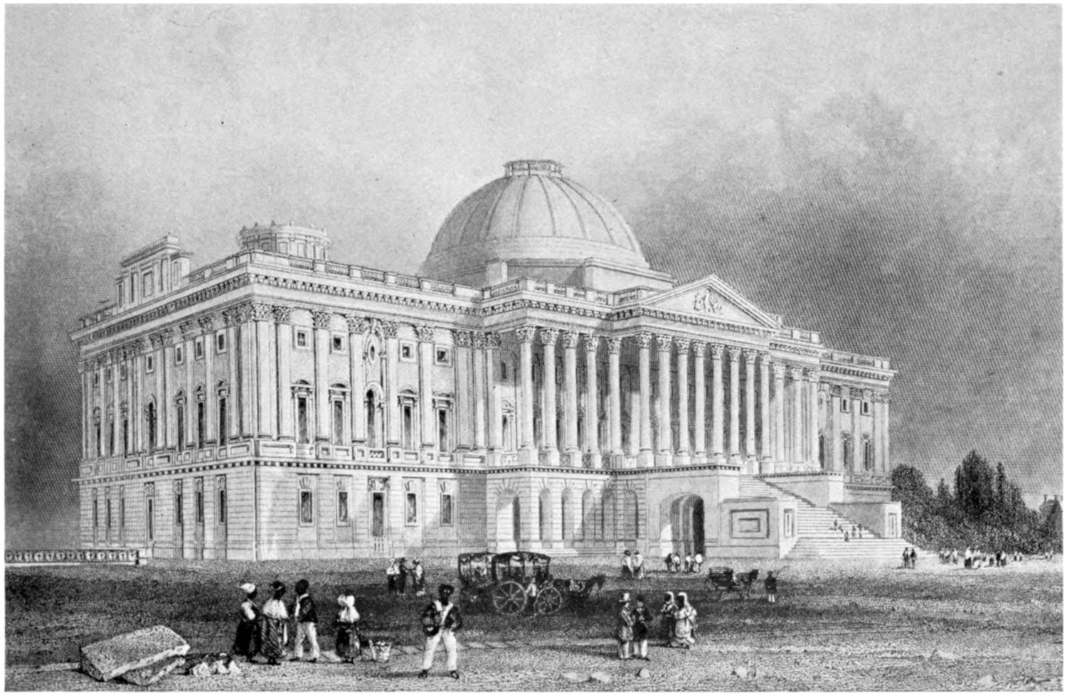
THE CAPITOL UPON ITS RESTORATION, 1827
Chapter XX ARCHITECTURE OF EARLY DAYS — THE CAPITOL — THE WHITE HOUSE — OCTAGON HOUSE — DOLLY MADISON HOUSE — DECATUR HOUSE — OTHER HISTORICAL HOUSES — GEORGETOWN — FRANCIS SCOTT KEY MANSION — TUDOR PLACE — ROCK CREEK CHURCH (ST. PAUL’S) IN ROCK CREEK CEMETERY — CHRIST CHURCH — ST. JOHN’S CHURCH — THE COURTS OF THE DISTRICT OF COLUMBIA — OLD LAND OFFICE BUILDING — OLD PATENT OFFICE BUILDING — THE WASHINGTON MONUMENT — SOLDIERS’ HOME — CABIN JOHN BRIDGE — FORD’S THEATER — LINCOLN MUSEUM AND THE OLDROYD COLLECTION OF LINCOLNIANA
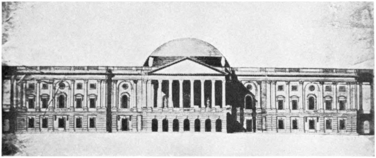
DESIGN OF THE CAPITOL, BY THORNTON, 1800
When the seat of government was moved from Philadelphia to Washington
in the year 1800 there had been erected for the purposes of the Government a
small rectangular building, familiarly known to-day as the Supreme Court section
of the Capitol, and in this building were housed the Senate, the House of Representatives,
the Supreme Court, the courts of the District of Columbia, and the
library, now known as the Library of Congress. South of this building was a
large vacant space, practically the extension of East Capitol Street. Through
this area people from the western and eastern parts of the city passed to and fro.
Conveniently located in that section now occupied by the central portion were
two wells, which for many years furnished water to citizens residing in that
vicinity, for the Capitol Grounds were then occupied by residences. South of
this vacant space were the foundations of another building, equal in area and
intended to compare in cubic contents with the portion already erected and occupied.
For some time after the inauguration of President Jefferson but little was
done toward the erection of the southern building, now known as the Statuary
Hall section, except that the foundation walls progressed slowly, and within the
area of these walls there was built a 1-story elliptical-shaped building of brick
construction, known to the people of that period as “The Oven,” designed for
the accommodation of the House of Representatives and occupied until 1807,
when the Hall of the House of Representatives was completed. In 1800 there
were 32 Senators and 106 Members of the House.
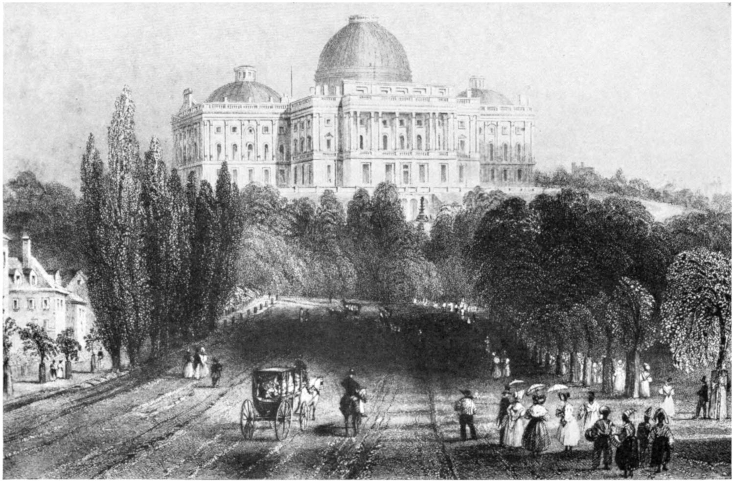
THE CAPITOL, FROM PENNSYLVANIA AVENUE, 1830
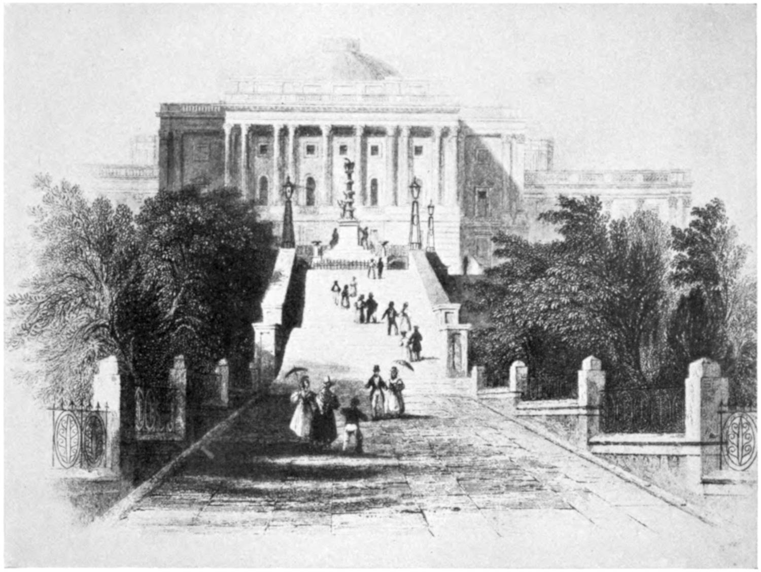
CAPITOL, FROM THE WEST, SHOWING THE TRIPOLI COLUMN
Thomas Jefferson sought the assistance of the best talent of the country to
complete the Capitol, and on March 6, 1803, appointed Benjamin H. Latrobe,
whose fame as an architect had caused his services to be in such great demand in
several cities that he could not immediately take up his residence in Washington.
But he arranged to assume the duties of Architect of the Capitol by personal
visits to the city and made a thorough study of the plans for the Capitol. The
plans for the Hall of the House of Representatives as developed by Mr. Latrobe
required sculptural decoration, and this was made the subject of an interesting
letter on March 6, 1805, addressed to Philip Mazzei, an Italian physician, asking
for assistance in selecting a sculptor:
By direction of the President of the United States I take the liberty to apply to you for your
assistance in procuring for us the services of a good sculptor in the erection of the public buildings
in this city, especially the Capitol.
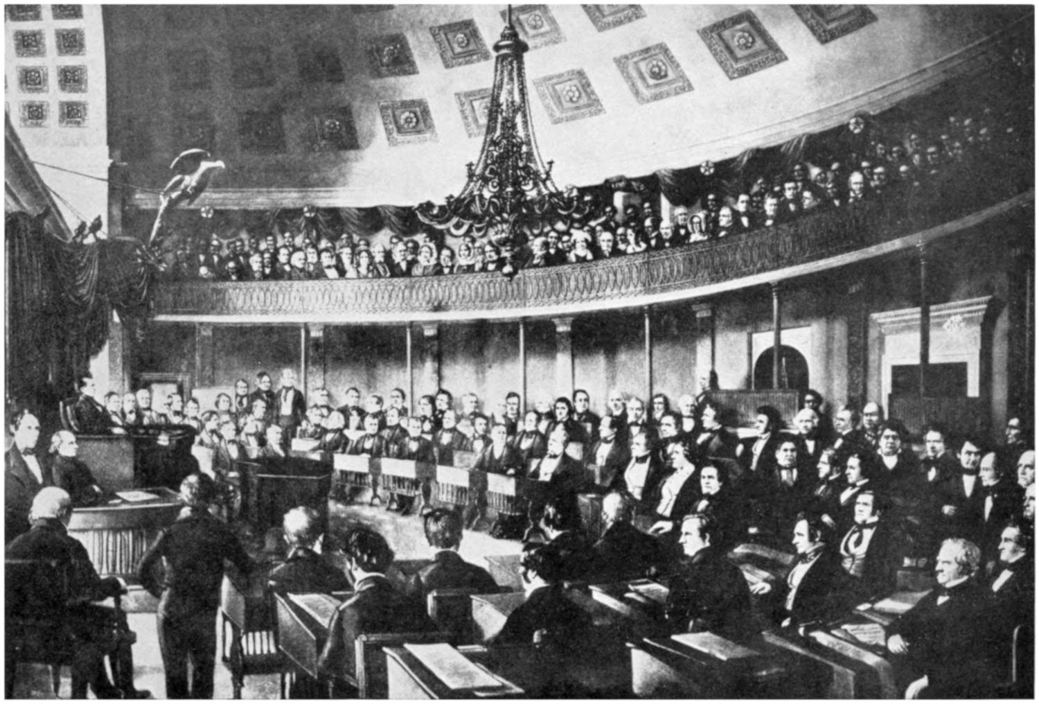
SENATE CHAMBER, 1830
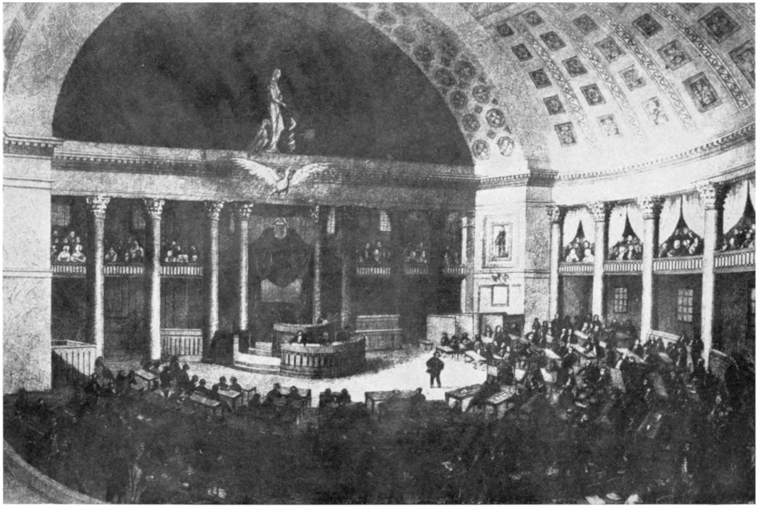
HOUSE OF REPRESENTATIVES CHAMBER, 1830
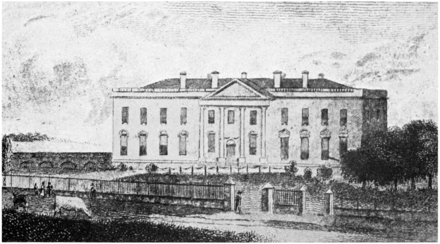
EARLY VIEW OF THE WHITE HOUSE
The Capitol was begun at a time when the country was entirely destitute of artists, and even
of good workmen in the branches of architecture, upon which the superiority of public over private
buildings depends. The north wing, therefore, which is carried up, although the exterior is
remarkably well finished as to the masonry, is not a good building. For two or three years after
the removal of Congress to this city the public works were entirely discontinued. In the year
1803, however, they were resumed, and under the patronage of the President and the annual appropriations
by Congress the south wing of the Capitol has been begun and carried on. It is now so
far advanced as to make it necessary that we should have as early as possible the assistance of a
good sculptor of architectural decorations * * *.
The principal sculpture required was 24 Corinthian capitals, 2 feet 4 inches
in diameter at their feet and open enriched entablatures of 147 feet (both English
measure) in length. Also five panels (tavole) enriched with foliage and an eagle
of colossal size in the frieze, the distance between the tips of the extended wings
to be 12 feet 6 inches. As to material, yellowish sandstone of fine grain was to
be used.
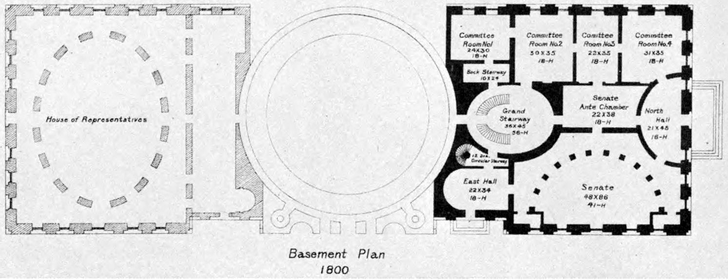
Transcription
PLAN, IN BLACK, SHOWING PART FIRST OCCUPIED BY CONGRESS, 1800
The later history of the Capitol will be found on page 219.
The most definite description of the White House as it existed during its
earlier days is to be found in American Scenery, published in London in 1840
and edited by Nathaniel Parker Willis, who writes as follows:
The residence of the Chief Magistrate of the United States resembles the country seat of an
English nobleman in its architecture and size; but it is to be regretted that the parallel ceases when
we come to the grounds. By itself it is a commodious and creditable building, serving its purpose
without too much state for a republican country, yet likely, as long as the country exists without
primogeniture and rank, to be sufficiently superior to all other dwelling houses to mark it as the
residence of the Nation’s chief.
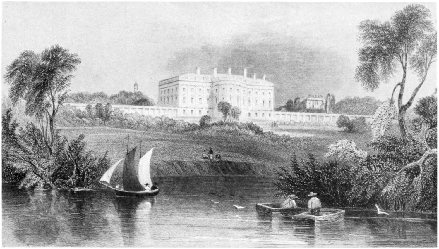
VIEW SHOWING TERRACE ON SOUTH SIDE OF THE WHITE HOUSE, 1827
The President’s House stands near the center of an area of some 20 acres, occupying a very
advantageous elevation, open to the view of the Potomac and about 44 feet above high water, and
possessing from its balcony one of the loveliest prospects in our country—the junction of the two
branches of the Potomac which border the District and the swelling and varied shores beyond of
the States of Maryland and Virginia. The building is 170 feet front and 86 deep and is built of
white freestone, with Ionic pilasters, comprehending two lofty stories, with a stone balustrade.
The north front is ornamented with a portico sustained by four Ionic columns, with three columns
of projection, the outer intercolumniation affording a shelter for carriages to drive under. The
garden front on the river is varied by what is called a rusticated basement story, in the Ionic style,
and by a semicircular projecting colonnade of six columns, with two spacious and airy flights of
steps leading to a balustrade on the level of the principal story.
The interior of the President’s House is well disposed and possesses one superb reception room
and two oval drawing-rooms (one in each story) of very beautiful proportions. The other rooms are
not remarkable, and there is an inequality in the furniture of the whole house (owing to the unwillingness
and piecemeal manner with which Congress votes any moneys for its decoration) which
destroys its effect as a comfortable dwelling. The oval rooms are carpeted with Gobelin tapestry,
worked with the national emblems, and are altogether in a more consistent style than the other
parts of the house. It is to be hoped that Congress will not always consider the furniture of the
President’s House as the scapegoat of all sumptuary and aristocratic sins, and that we shall soon
be able to introduce strangers not only to a comfortable and well-appointed, but to a properly
served and nicely kept, Presidential Mansion.
The White House as it is at present is described on page 261.
Octagon House is a beautiful example of early American architecture. It
is situated at the corner of Eighteenth Street and New York Avenue NW., two
blocks west of the White House, and was built in the year 1800 by Col. John
Tayloe from designs by the Architect of the United States Capitol, Dr. William
Thornton. It is said President Washington himself selected the site for his
friend.
The building is a fine, octagonal brick structure, Georgian in design, with a
central circular hall and a noteworthy staircase. The materials used in its construction,
including beautiful sculptured mantels, were brought from England.
Gardens surrounded it, and the old brick stables and smokehouse still close the
vista from the stair landing.
The house was the center of official and social life as the home of the Tayloe
family. It achieved particular distinction when used as the Executive Mansion
by President Madison for more than a year after the burning of the White House
by the British in 1814.
The building was later used at various times as a Government office building.
The Government Hydrographic Office, with its drafting rooms, was located
there, and the building was also used for storage. During the 139 years it
appears to have suffered little from damage and deterioration.
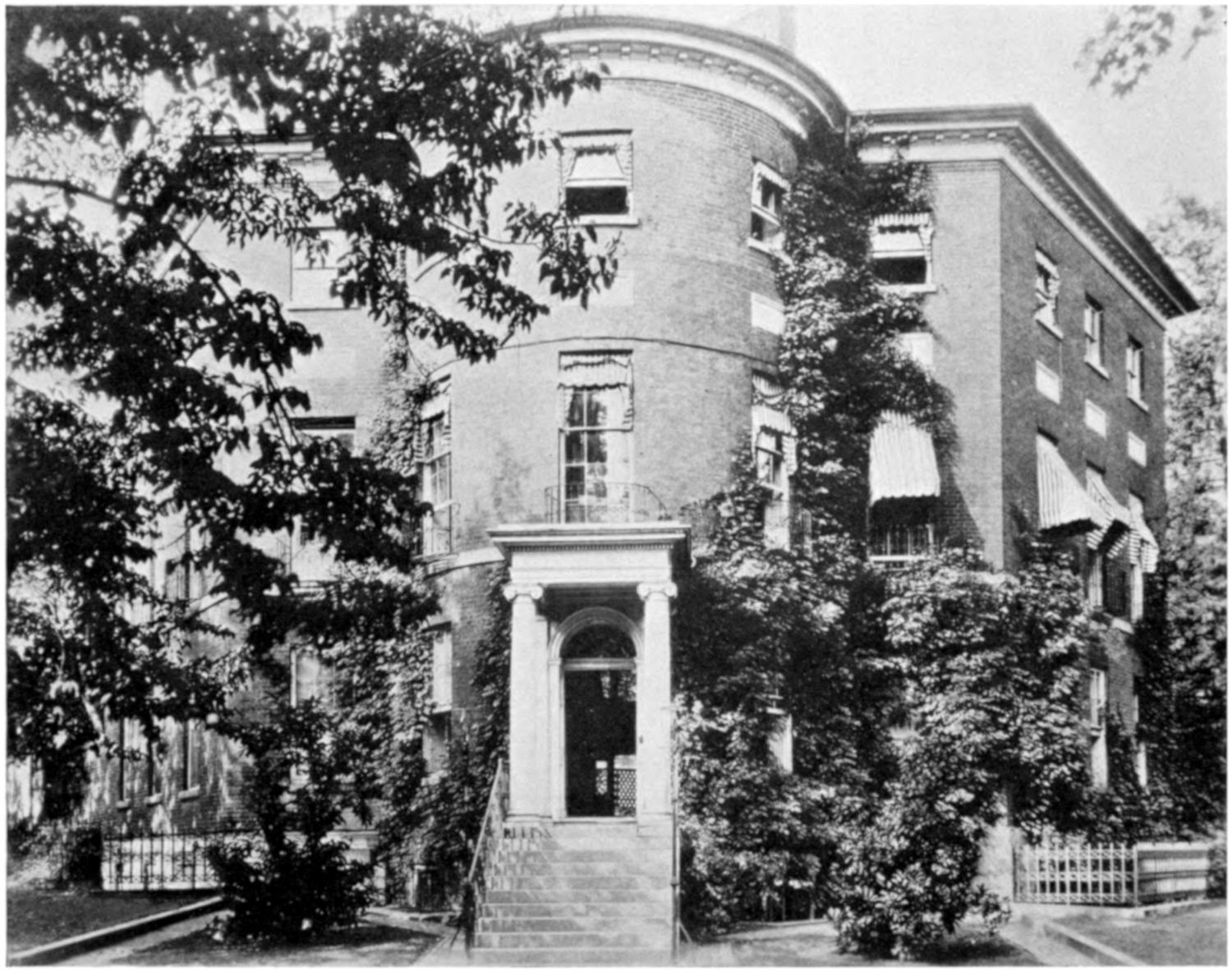
OCTAGON HOUSE
The Octagon House became the home of the American Institute of Architects
on January 1, 1899, through the particular efforts of Charles F. McKim, Cass
Gilbert, and Frank Miles Day, former presidents of the institute, and complete
ownership of the property was acquired in the year 1902.
One of its present treasures is the table on which the treaty of Ghent was
signed by President Madison.
The Dolly Madison House, at the corner of H Street and Madison Place NW.,
adjacent to Lafayette Square, was built by Dolly Madison’s brother-in-law in 1818.
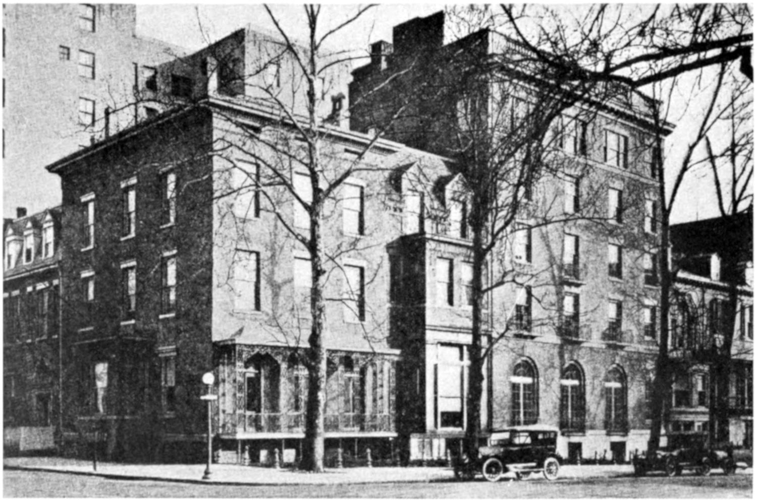
DOLLY MADISON HOUSE
After the death of President Madison in 1833 Mrs. Madison returned to
Washington and resided in the house until her death in 1849. In her day it was
a little gray residence, but a place where she presided as a charming hostess for
many years. The purchase by Congress of the Madison Papers for $30,000 made
it possible for her to live there. Born in the year 1768, she became intimately
acquainted with many who took part in the Revolutionary War, and through her
long life linked her generation with that of the present day.
Among the men and women of importance who were frequent visitors in her
home, who exerted an influence to strengthen the seat of government and became
noted characters in American history, were Mr. and Mrs. John Quincy Adams,
Henry Clay, Daniel Webster, Mrs. Alexander Hamilton, Mrs. Stephen Decatur,
Mrs. William Thornton, Mrs. Tobias Lear, and Gen. John Peter Van Ness.
During the Civil War the house was occupied by Gen. George B. McClellan,
at that time in command of the Army of the Potomac, and about the year 1885
the house was purchased by the Cosmos Club, which now occupies it.
The Decatur House, located at the corner of H Street and Jackson Place NW.,
was designed by Benjamin Latrobe and built about 1819 by Commodore Stephen
Decatur, it is said, from Barbary pirates’ prize money.
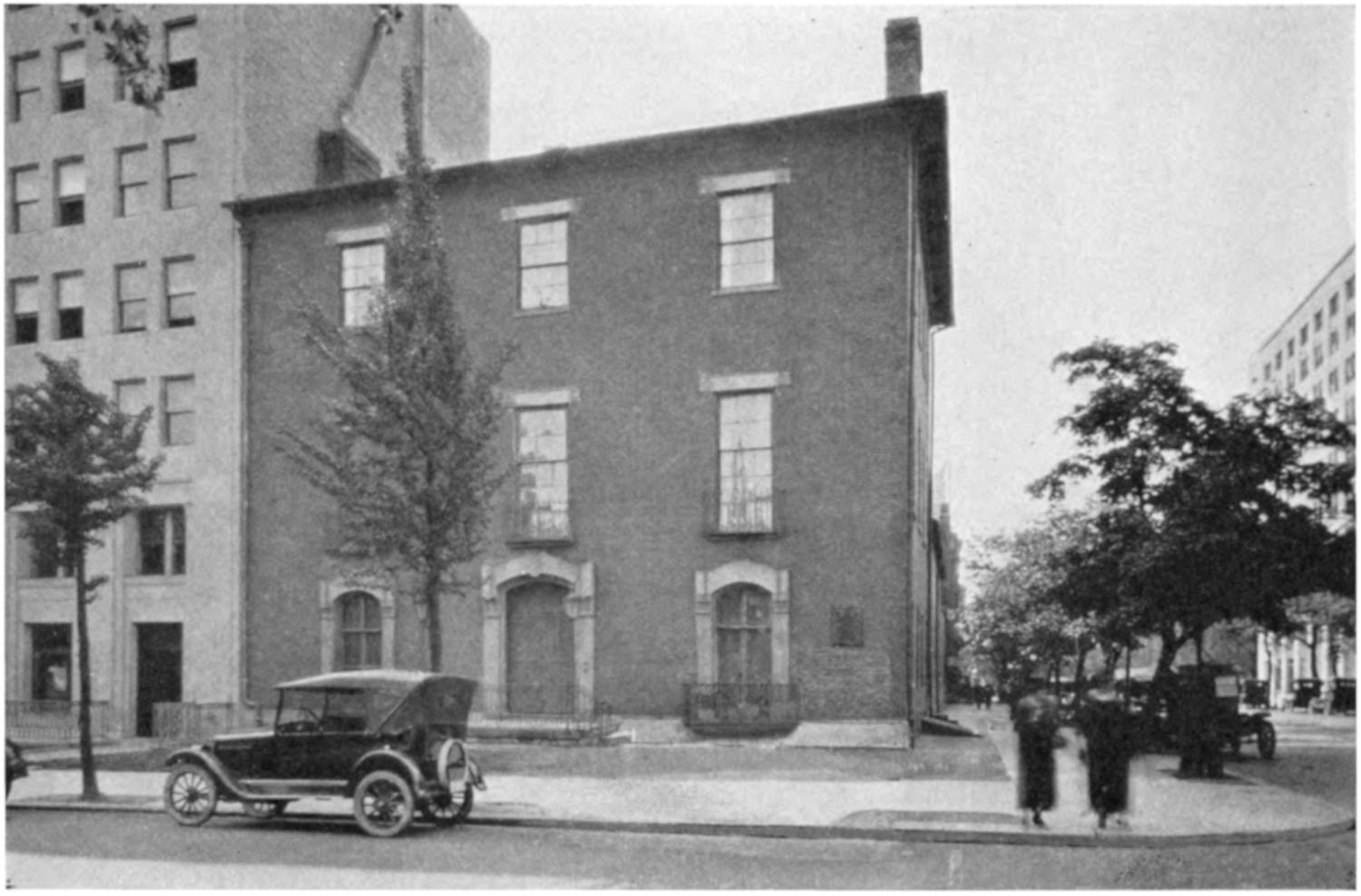
DECATUR HOUSE
Scarcely had the house been completed and through the trophies of the naval
hero made a place of great interest when, on March 22, 1820, Decatur was mortally
wounded in a duel with Commodore James Barron which took place at
Bladensburg, Md. Decatur died in his home that night and was buried at Kalorama,
a prominent estate in those days in northwest Washington.
Thereupon Henry Clay, who was then a Member of the House of Representatives
and subsequently Secretary of State in the Cabinet of John Quincy Adams,
occupied the Decatur House. After the Civil War the house was bought by
Gen. Edward H. Beale, a friend of General Grant. It was inherited by Truxton
Beale, who resided there many years.
Other houses adjacent to Lafayette Square and the White House grounds
which became historically important were:
The Cameron House, adjacent to the Dolly Madison House, was built in 1828
by Benjamin Ogle Tayloe. Later it was altered somewhat to suit the fine taste of
Mrs. Cameron, wife of James Donald Cameron, who served as a Senator from the
State of Pennsylvania from 1877 to 1897. The Cameron House to-day is occupied
by the Cosmos Club, which, as has been stated, also occupies the Dolly Madison
House. The beautiful gardens surrounding it are a source of much pleasure.
The Van Ness Mansion formerly stood on the site now occupied by the
Pan American Building, near Seventeenth Street and Constitution Avenue.
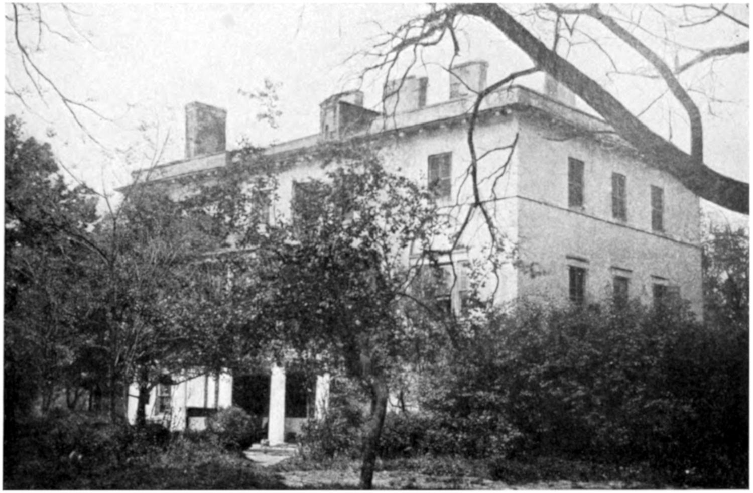
VAN NESS MANSION
The Rodgers House was occupied by Secretary of State Seward at the time
he and his son were nearly fatally stabbed on the night President Lincoln was
assassinated. In 1895 the house was torn down to make way for an opera house,
called the Lafayette Square Opera House, and later the Belasco Theater.
John Hay, Secretary of State under Presidents McKinley and Roosevelt, lived
at Sixteenth and H Streets.
The home of George Bancroft was at No. 1623 H Street. Here he completed
his History of the United States.
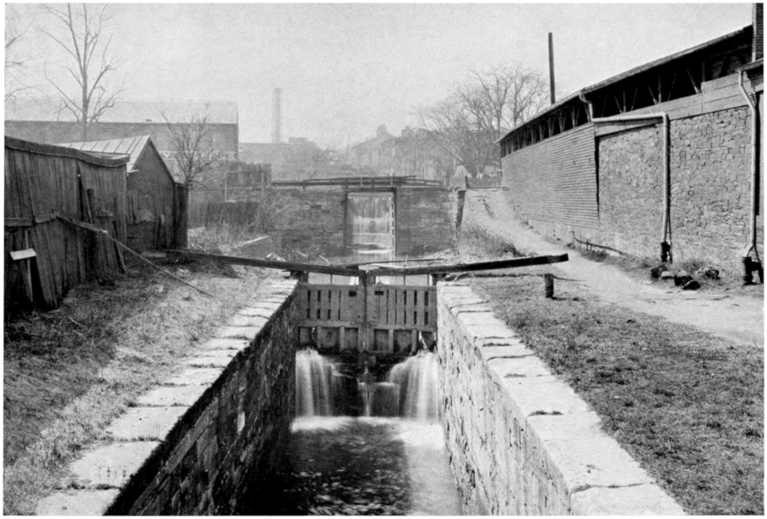
LOCK OF THE OLD CHESAPEAKE AND OHIO CANAL, GEORGETOWN
The historian Henry Adams, grandson of President John Quincy Adams,
lived at 1605 H Street.
Lord Ashburton lived in the large square house next to the old Arlington
Hotel, at H Street and Vermont Avenue. Charles Sumner also lived near by.
The Corcoran House stood at the corner of H Street and Connecticut Avenue,
where now stands the Chamber of Commerce of the United States. In that
house Daniel Webster lived while Secretary of State under Presidents William
Henry Harrison and Zachary Taylor.
The original Corcoran Gallery of Art Building stands at the corner of Pennsylvania
Avenue and Seventeenth Street.
No. 22 Jackson Place, now the home of the Women’s City Club, was the
house of President Polk’s Secretary of War, William L. Marcy. The house was
occupied by President and Mrs. Roosevelt for a few months while the White
House was being restored in 1901.
Georgetown was laid out pursuant to an act of the Province of Maryland
dated June 8, 1751, passed in response to a petition of a number of inhabitants,
who stated that “there was a convenient place for a town on the Potomac River
above the mouth of Rock Creek,” and recommended that 60 acres be there laid
out for a town. The town was never incorporated as a city, but was commonly
called the city of Georgetown as a consequence of the casual reference to it by
that title in numerous acts of Congress.
The general supposition is that Georgetown was so named in honor of
George II, then the reigning sovereign of Great Britain, but it is also contended
that it was named as a compliment to George Gordon and George Beall, the
owners of the 60-acre tract, and from whom the site was obtained. The town
was subsequently surveyed and divided into 80 lots. On December 25, 1789,
the town was incorporated by an act of the General Assembly of Maryland,
with a mayor, recorder, aldermen, and common council. The first mayor was
appointed for a term of one year, to commence January 1, 1790.
The streets in the part of Georgetown laid out under the act of June 8, 1751,
were acquired by the public in practically the same manner in which the title
to the original streets of the city of Washington was derived.
Georgetown was enlarged by numerous additions, until, as calculated by the
surveyor of the District of Columbia, it embraced about 543 acres. Its charter
was revoked by the act of Congress of February 21, 1871, by which its name was
retained as a topographical designation until its consolidation with Washington
by the act of February 11, 1895, which stated it “shall be known as and shall
constitute a part of the city of Washington.” By this act the Commissioners
of the District of Columbia were authorized to change the names of the streets
and avenues of Georgetown to conform to those of Washington as far as practicable.
At the time of the consolidation the population of Georgetown was
about 15,000.
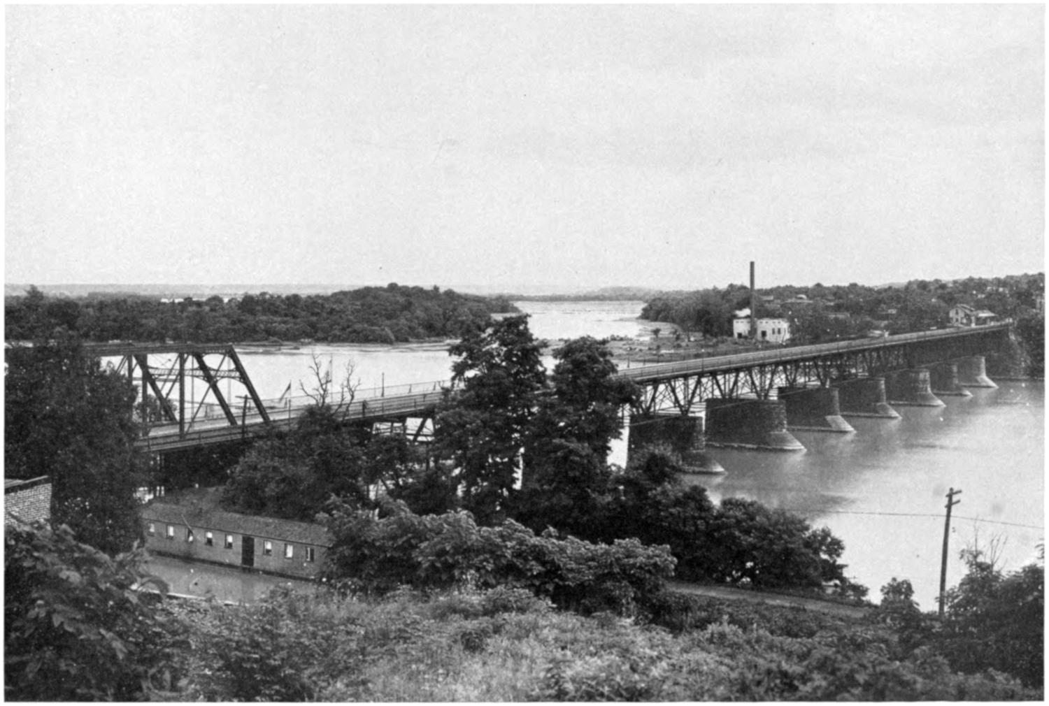
OLD AQUEDUCT BRIDGE
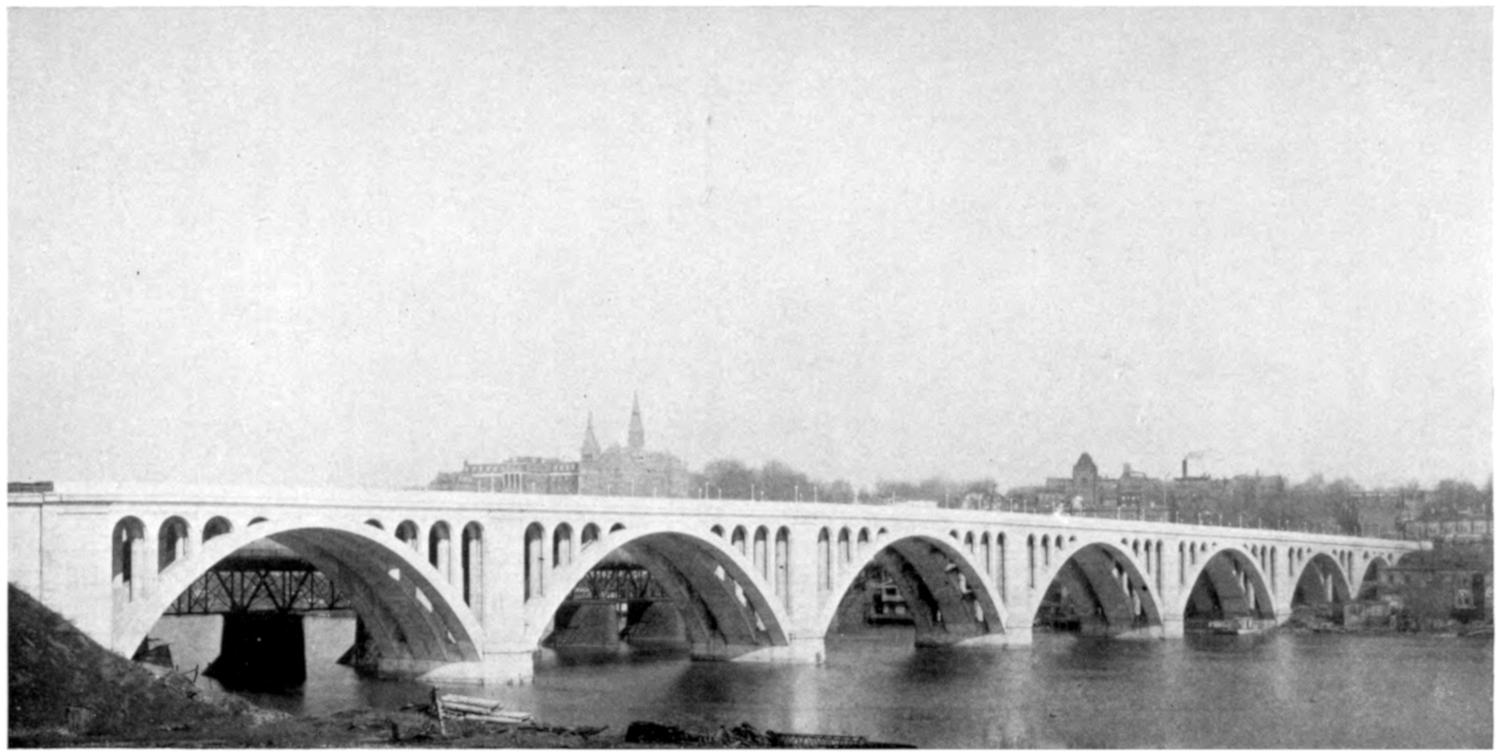
FRANCIS SCOTT KEY BRIDGE
Soon after its establishment Georgetown became a prominent port, and one
of the interesting places there to-day is the old customhouse. A number of mills,
the ruins of which can still be seen, were there. It is said that flour shipped in
colonial times from Georgetown to Europe was so good that consignees did not
think it necessary to open the barrels for inspection. Tobacco and corn were
the two other chief exports. Georgetown University was established in 1789,
the year George Washington was inaugurated as the first President of the Republic.
The Chesapeake and Ohio Canal, 182 miles long, commenced in 1828, had its
beginning in Georgetown. It cost $13,000,000. Georgetown’s exports in 1792
amounted to $348,539. Much coal was also shipped to Alexandria for towns on
the Atlantic coast.
Georgetown also became noted for the many fine houses which were built
there, such as Tudor Place, Woodley, the Oaks, Montrose, the Bowie Mansion,
and Bellevue, later known as the Rittenhouse Mansion. In the early days, while
houses in the new Federal City were being built, many Members of Congress
preferred to travel the dusty road from the Capitol to Georgetown because of
the suitable residences there in which they could live.
Among the mansions near Georgetown, to be mentioned here, is Arlington
Mansion (described fully on page 309), built in 1802 by George Washington
Parke Custis, the adopted son of President Washington. The original Arlington
estate comprised 6,000 acres. The design of the portico of the house resembles
that of the Temple of Theseus at Athens, which stands to-day one of the
best-preserved buildings of antiquity. Mr. Custis lived there till his death in
1857. He entertained Lafayette at Arlington during his visit to the United
States in 1824.
The Francis Scott Key Mansion, at Georgetown, stands remodeled as a store
building on old Bridge Street, now M Street, one-half block from the Francis
Scott Key Bridge. Originally it was a 3-story “colonial” brick building, which
stood there as such until about the year 1917, when the Francis Scott Key
Bridge was built to replace the old Aqueduct Bridge.
Entering the front door at the left of the building, there was a spacious hall
extending through the entire house. At the right of the hall were two large
parlors. In the basement was the dining room, kitchen, and “cold room,” a room
bricked up and used as a refrigerator and pantry. In the second story were
two large bedrooms and a large hall. The third story contained four bedrooms.
The window frames were small, 4 by 6 inches, supported in heavy sashes, as was
the custom in building such houses.
In the rear of the house was a beautiful garden, which sloped gracefully to
the river. The Chesapeake & Ohio Canal was later built through it. This area
is now occupied by factories, warehouses, and store buildings.
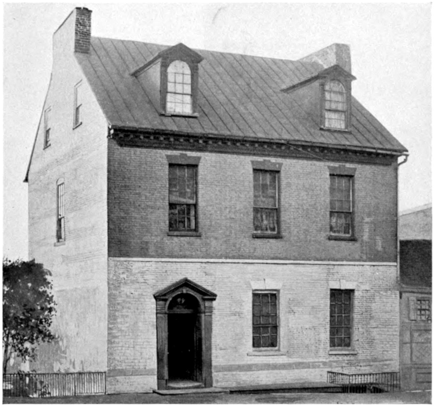
FRANCIS SCOTT KEY HOUSE
Mr. Key, an attorney and poet, lived here with his family many years, and
resided here at the time of the bombardment of Fort McHenry. Near by was
his law office, a little brick building.
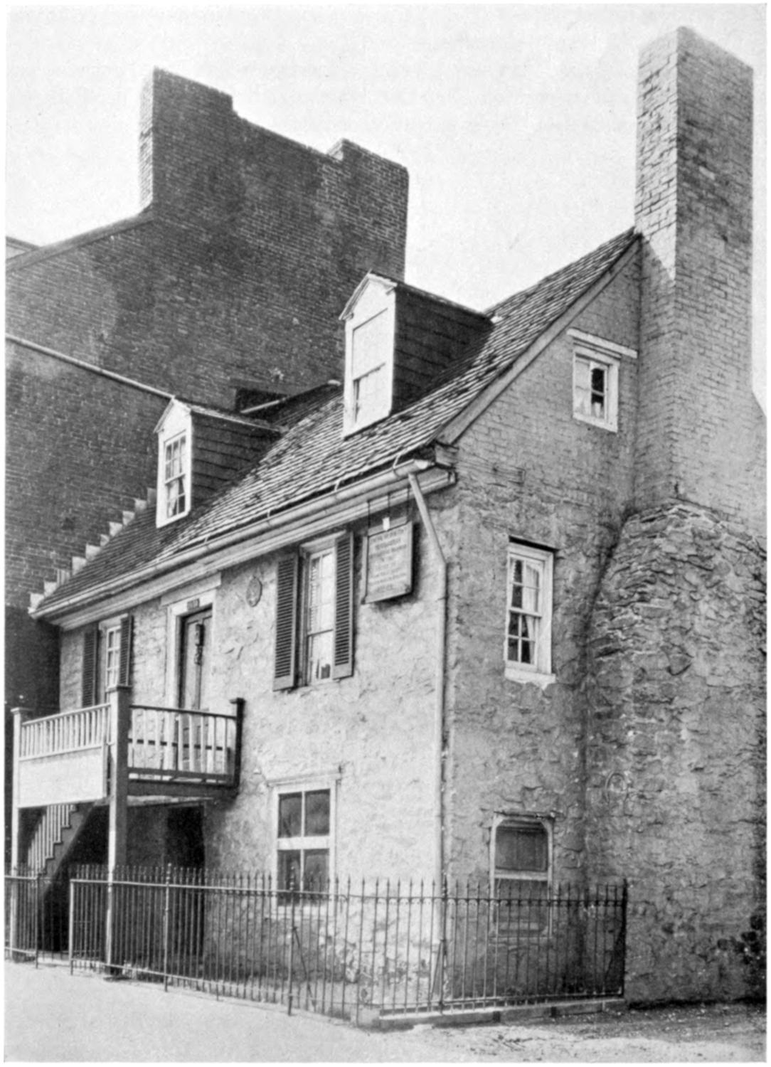
HOUSE OF THE EARLY DAYS IN GEORGETOWN ON OLD BRIDGE (M) STREET
In 1814, while the British fleet was in Chesapeake Bay, Mr. Key attempted
to secure the release of his friend Dr. William Beane, of Marlboro, Md., who had
been captured. He was held on shipboard during the shelling of Fort McHenry
on the night of September 13. Key’s anxiety became intense. With the first
approach of dawn Mr. Key turned his eyes in the direction of the fort and its flag,
but darkness had given place to a heavy fog. Finally, through a vista in the smoke
and vapor he could dimly see the flag of his country. Overjoyed and inspired by
the sight, he composed The Star-Spangled Banner. This is now our national anthem
by an act of Congress approved March 3, 1931, as follows:
Be it enacted by the Senate and House of Representatives of the United States of America in
Congress assembled, That the composition consisting of words and music known as The Star-Spangled
Banner is designated the national anthem of the United States of America.
The historic flag that flew over Fort McHenry is on exhibition at the Historical
Museum of the Smithsonian Institution.
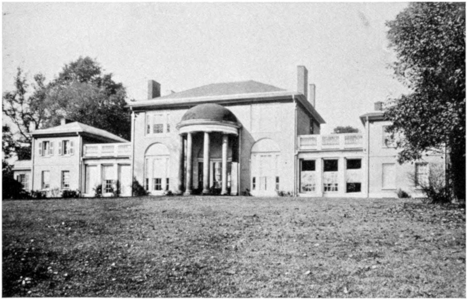
TUDOR PLACE, THIRTY-FIRST AND Q STREETS
Tudor Place, located at Thirty-first and Q Streets NW., is one of the fine
examples of the architecture of the early days of the Republic in Washington.
It was designed by Dr. William Thornton, Architect of the Capitol, and built
about 1805 by Thomas Peter, who was one of the original landowners of the
District of Columbia. Mr. Peter married Martha Parke Custis, Mrs. Washington’s
granddaughter. Tudor Place is still the residence of lineal descendants of
Martha Washington and contains many heirlooms of the family. General
Lafayette and other distinguished visitors were entertained here.
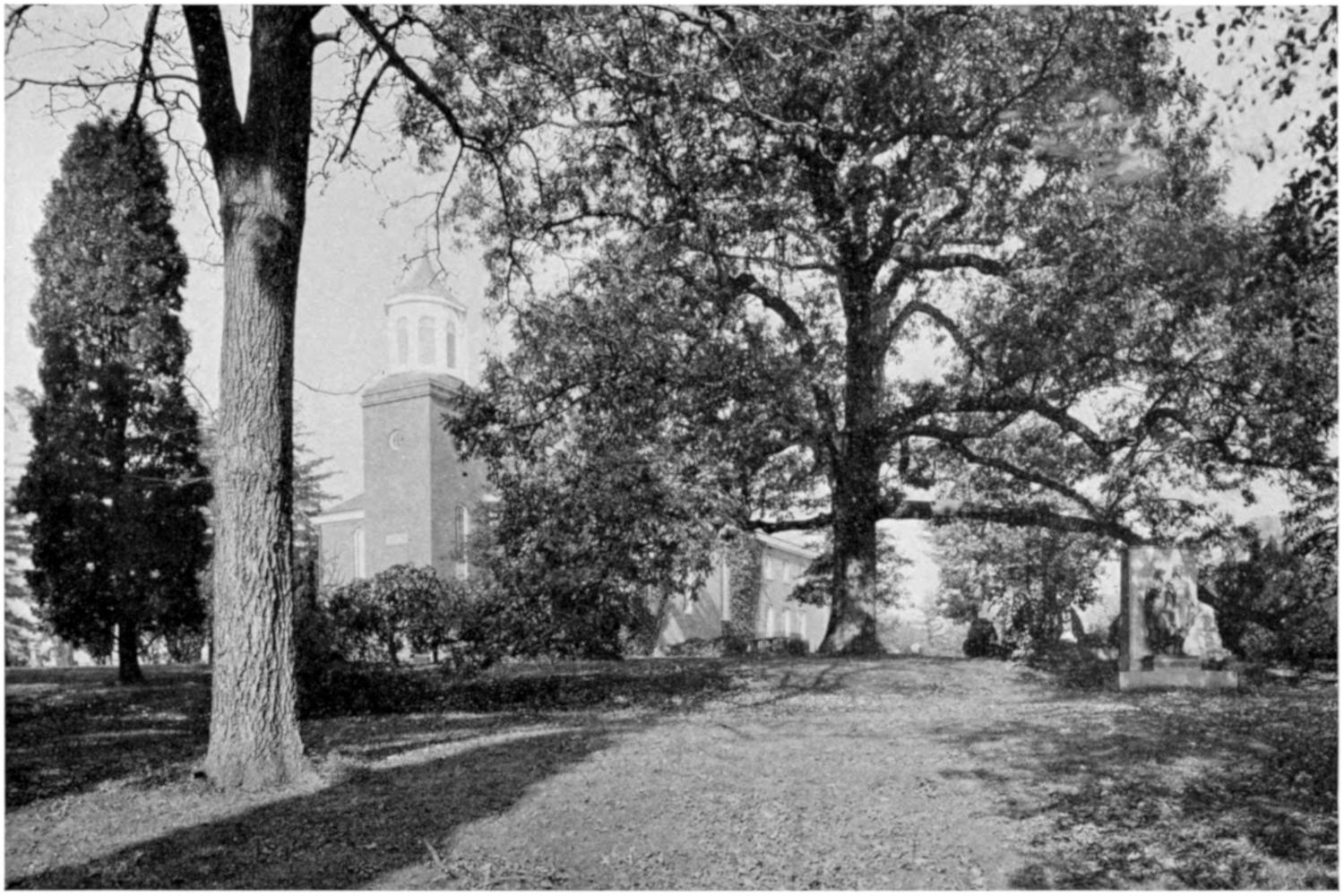
ROCK CREEK CHURCH
Tudor Place to-day is well preserved, and its gardens give it added beauty.
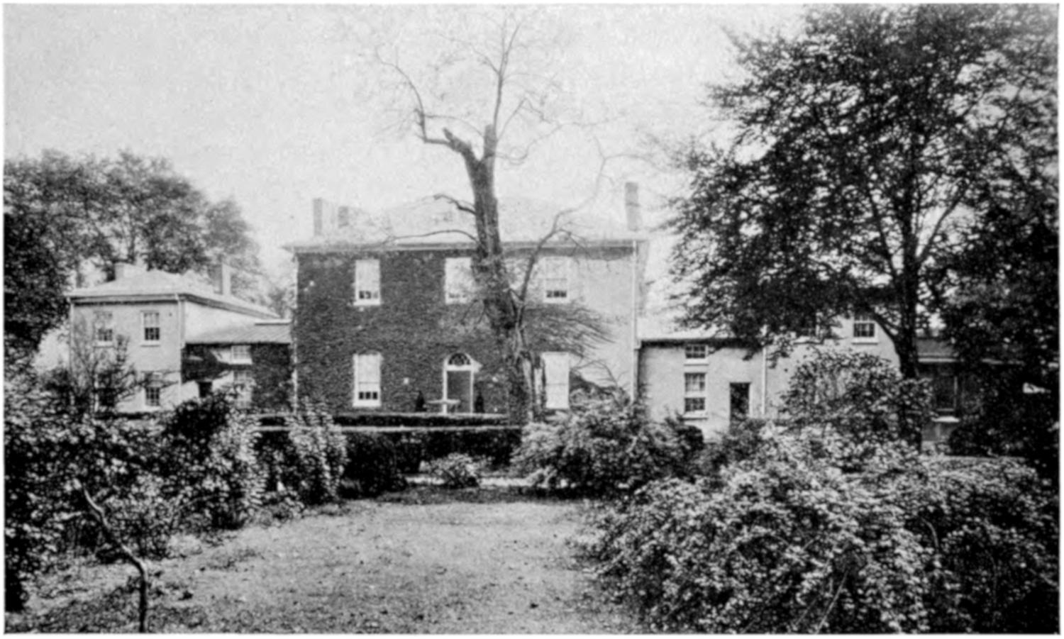
TUDOR PLACE, SHOWING GARDENS ON THE EAST SIDE
Rock Creek Church is to the north of the Soldiers’ Home. The original building
was erected by the people of the Eastern Branch and Rock Creek in 1719 in
what was then St. Paul’s Parish, and was for many years the oldest parish
church in the District of Columbia. It was rebuilt in 1775 and remodeled in
1868. It burned on April 6, 1921, but was again rebuilt.
In 1726 the separation of this parish from St. John’s (Georgetown) marked a
religious era in the future National Capital. Of the seven men appointed to
establish the town of Georgetown, five were officers of this parish.
In the cemetery surrounding the church is the famous Adams Memorial by
Saint-Gaudens.
Although Washington had been planned as a city in 1791, it did not become
the actual seat of government until 1800. It was necessary, therefore, for those
desiring a Protestant Episcopal Church in Washington to apply to the Maryland
Assembly. This application was made and an act passed to form a new parish to
be known as Washington Parish.
On May 25, 1795, a meeting was held, and the parish of Christ Church,
Washington Parish, was incorporated and vestrymen elected. At this meeting
Rev. George Ralph was appointed the first rector.
The first services were held in an old building, originally used as a tobacco
barn, located on New Jersey Avenue near D Street SE.
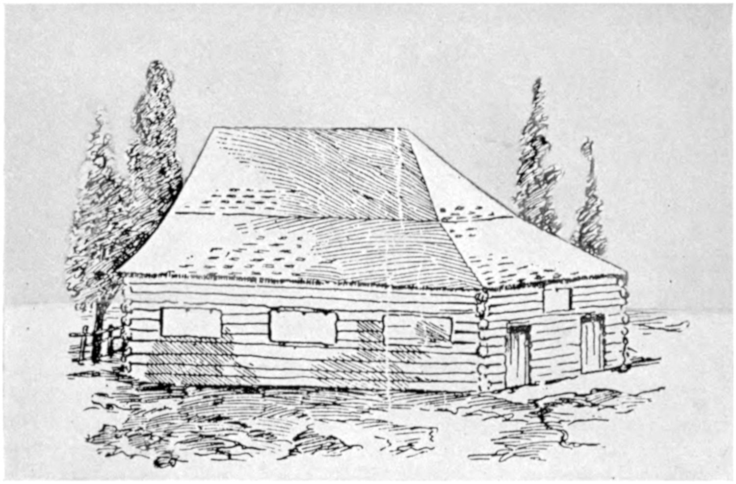
OLD TOBACCO BARN
On May 6, 1806, two offers of sites for a new church were made. The one by
William Prout—the present site—was accepted, and in 1807 the present building
was erected. Three free pews were set aside—one for the use of the President of
the United States; one for Mr. Prout, the donor of the land; and the third for
the rector. The church stands on G Street, near Seventh SE.
For many years each incoming President was notified that a pew had been
reserved for his use. During their terms of office Presidents Jefferson, Madison,
and Monroe worshiped in Christ Church. During all these years the fame of the
church has grown, from its antiquity as the mother church of the Capital and
from its spiritual work and ministrations.
A history of the parish would not be complete without some notice of its
burying ground (illustrated on page 44).
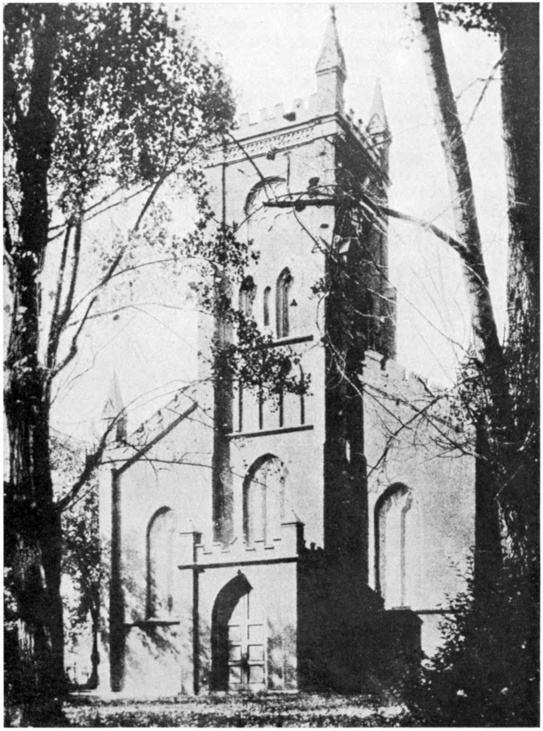
CHRIST CHURCH
On March 30, 1812, Henry Ingle deeded to Christ Church vestry a square of
ground known as square 1115, and the name of Washington Parish Burial Ground
was given it. On May 30, 1849, the vestry changed it to Washington Cemetery.
Yet in popular nomenclature it is known as Congressional Cemetery.
Title can be traced back to its early connection with the National Legislature.
On April 15, 1816, the vestry assigned 100 sites for the interment of deceased
Members of Congress. On December 15, 1823, 300 more sites were donated for
the same purpose. Congress afterwards bought more sites and erected small
freestone cenotaphs, which form a conspicuous feature, made sundry appropriations
for improvements, and began to add its name to the cemetery. Many
Congressmen and Government officials are buried there, including Tobias Lear,
private secretary and friend of George Washington, who died in 1816; Dr.
William Thornton, who drew the original plans of the Capitol, and died
March 28, 1828; George Hadfield, an assistant architect of the Capitol; George
Clinton, of New York, and Elbridge Gerry, of Massachusetts, Vice Presidents
of the United States. The cemetery, located at Eighteenth Street and Pennsylvania
Avenue SE., is adjacent to the Anacostia River and comprises 30 acres.
St. John’s Church, sometimes called the President’s Church, while not the
oldest in the city, has a history which is unique. Probably no other church of
any denomination in the United States has had throughout its history such a
distinguished roster of communicants as has St. John’s, located at Sixteenth and
H Streets NW.
The title, the “President’s Church,” was derived in this way: In 1816,
before the church was consecrated or any pews sold, a committee from the vestry
was instructed to make the offer of a pew to President Madison. He accepted
and thereafter occupied pew No. 28 even more frequently than his pew in
Christ Church. The custom of preserving a pew for the President has been
continued, and a number have regularly worshiped there.
Situated in the heart of official Washington, for a century it has been the
place of worship of Presidents, Cabinet officers, distinguished soldiers and diplomats,
and leaders in the professional life of the city. In the year 1812 there were
two Episcopal churches within the present city limits—Christ Church, Navy
Yard, and St. John’s, Georgetown. There was need for a third, caused by the
fact that the White House and departmental buildings were erected at a point
almost midway between these two. Washington in those days undoubtedly
seemed a city of magnificent distances. So, on April 6, 1812, a committee was
appointed by the vestry of the mother parish of Christ Church to meet the
situation. Then came the War of 1812, when both the city and the public
buildings suffered, and it was not until September 14, 1815, that the corner
stone of St. John’s, Washington, was laid.
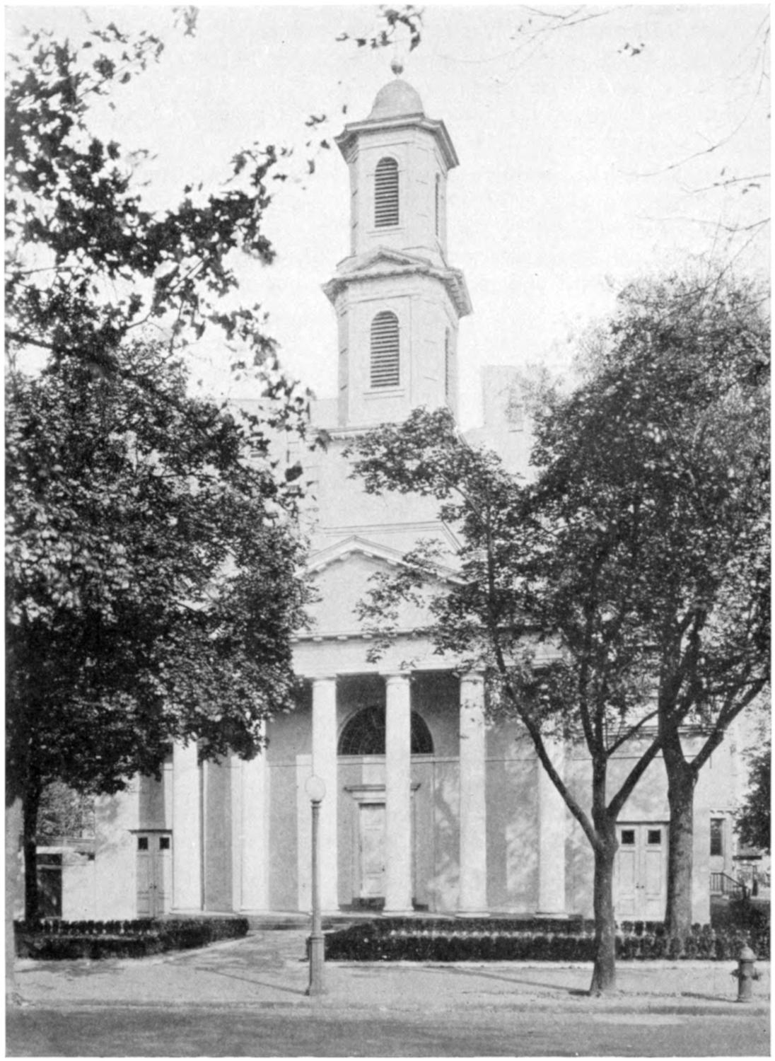
ST. JOHN’S CHURCH
Jonathan Elliott, in his history of the District published in 1831, said of
St. John’s Church:
It was built of brick, covered with rough stucco, in the form of a Grecian cross; but being
too small for its congregation, in 1820 it was enlarged by lengthening its western arm, to the form
of a Latin cross; and a portico and tower were also added.
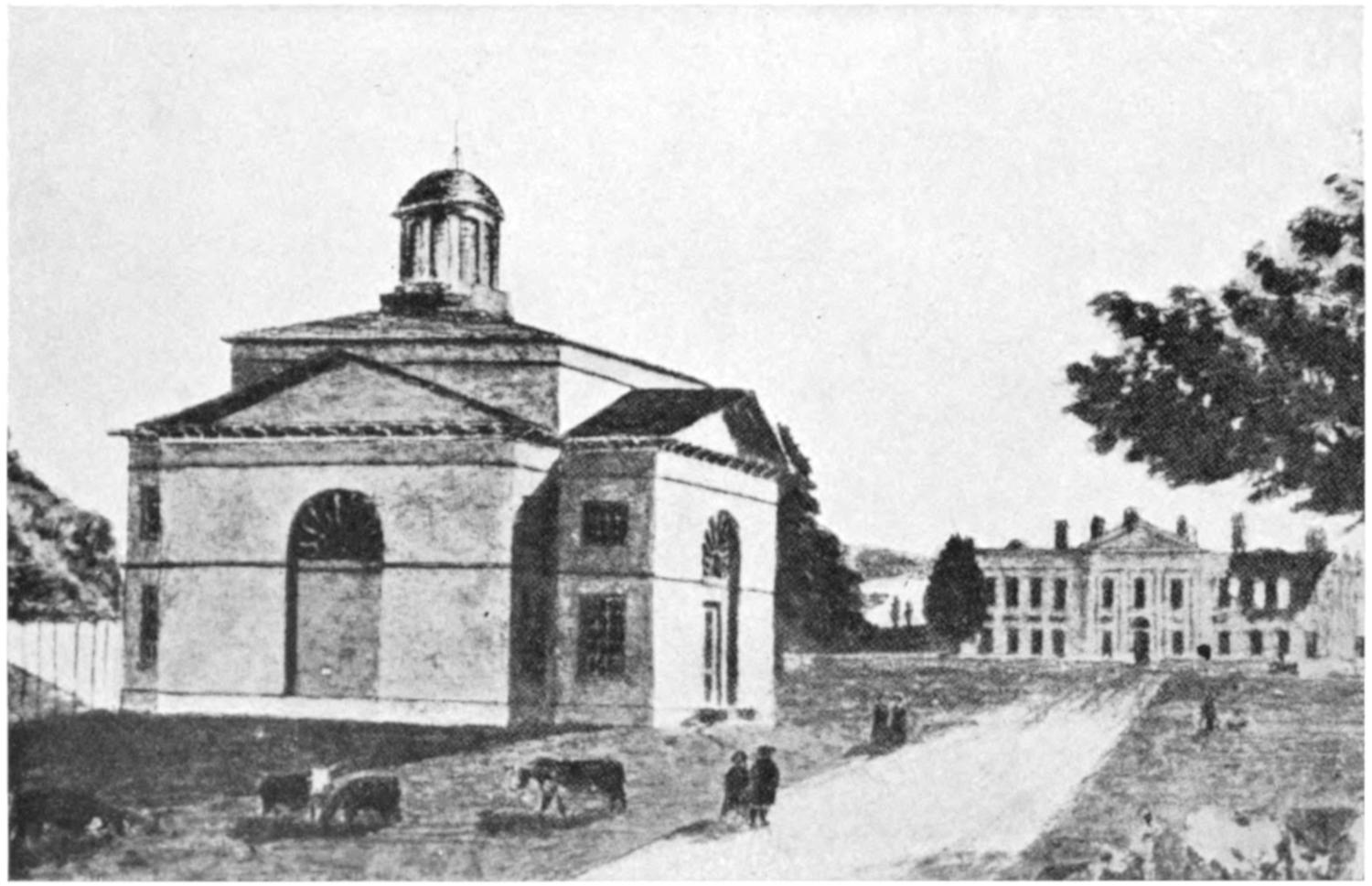
EARLY VIEW OF ST. JOHN’S CHURCH
The most notable changes were made in 1863, when a sanctuary was added,
the interior remodeled, and many fine additions put in place. Since that time
there have been few changes of importance save in the interior decorations and
sanctuary beautification. The eye can not glance in any direction without seeing
some memorial. Over the altar is a brass cross, commemorating President Arthur.
In the west wall is a window commemorating Presidents Madison, Monroe, and
Van Buren. A window in the east wall commemorates Presidents Tyler, Harrison,
and Taylor. Over the south gallery is a memorial window to Gen. Winfield Scott.
The atmosphere of the old church is vibrant of memories. But St. John’s is
far from being entirely a church of memories. It has made possible several
undertakings of institutional character in the diocese.
The District of Columbia Courthouse is situated in Judiciary Square, along
Indiana Avenue, facing south, with John Marshall Place immediately in front
of it, leading down a slope of 30 feet to Pennsylvania Avenue. It is the old
city hall, now used for the Supreme Court of the District of Columbia, and is one
of the oldest buildings in the city. Designed by the English architect, George
Hadfield, the corner stone was laid August 22, 1820. The building is 250 feet long,
47 feet high, and 166 feet deep. Each of the wings is 50 feet wide. Its style resembles
the classical type of architecture which received an impetus during the period
from 1830 to 1840, when the Patent Office, the old Post Office, and the Department
of the Treasury Buildings were erected. It was remodeled by the Architect
of the Capitol, and in 1920, a century after the corner stone was laid, was
officially rededicated as the United States Courthouse. It will be at the head of
the new municipal center which has been authorized by Congress to occupy four
squares, two on each side of John Marshall Place.
The District of Columbia as the seat of the Federal Government of the
United States of America was without a court from 1791 until February 9, 1801.
In the latter year the Circuit Court of the District of Columbia was organized
under the provisions of the act of Congress providing a judiciary for the said
District. From 1790 until the year 1801 all litigation arising within the District
was disposed of by the Maryland courts, at Annapolis.
The first session of the circuit court was held in Market Square, Alexandria,
situated in the territory ceded by Virginia. The first session on the Maryland
side was held in Washington on March 23, 1801, in the old brick Capitol, occupying
a room adjoining the Senate Chamber which had been assigned to the
Supreme Court of the United States. The circuit court was rather nomadic,
occupying a number of sites before the city hall was finally built in 1820 as its
permanent home. It was in the Capitol at the time of the War of 1812 and was
removed to “Mr. Carroll’s house” near the Capitol. After the war the court
returned to the Capitol and sat continuously until 1819. After passing through
many heartbreaking annoyances, the court finally settled in the building erected
for municipal affairs and for the local courts, located in what is now known as
Judiciary Square.
As time progressed the judicial system expanded, the local government underwent
radical changes, and the edifice erected to house a dual tenancy was acquired
by the United States and assigned to the circuit court as a permanent home. It
remained there until the court was abolished by Congress on March 3, 1863.
When President Lincoln entered the White House just before the rupture
between the North and South, he was not satisfied with the personnel of the
circuit court. He prevailed upon Congress to abolish the circuit court and
provide for its successor—history hints this was a political move—and also
that the President be supported by a judicial system upon which he could rely
for complete loyalty to his administration. He believed that at least two of the
justices were in sympathy with the South and would use means to embarrass
his administration. The thought in his mind was that more satisfaction could
be derived by the abolition of the court and the enactment of a new judicial
system entirely friendly to his ideas of personal liberty and justice than through
the suspension of the writ of habeas corpus.
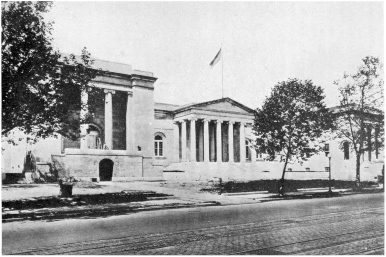
DISTRICT OF COLUMBIA SUPREME COURT BUILDING, BY GEORGE HADFIELD.
Congress complied with President Lincoln’s wishes, and on March 3,
1863, created the Supreme Court of the District of Columbia, giving him the
appointment of the new justices and the clerk. This court was to have all the
jurisdiction of its predecessor—which by statute and decisions of the Supreme
Court of the United States had greater powers than any of the United States
circuit courts—not only a court of local jurisdiction, but also a court of admiralty,
equity between residents and nonresidents, common-law jurisdiction, and the
right of mandamus and common-law certiorari over all Government officials,
with an appellate branch to be composed of three of the five justices to review
the decisions of its special terms.
On May 4, 1863, the court organized and promulgated rules of practice.
From that date until February 9, 1893, it held its appellate jurisdiction. The
members of the bar previous to that date had interceded with Congress for a
separate court of appeals in order to circumvent any comment against the
supreme court owing to the close association of its justices sitting as an appellate
tribunal to review the decisions of their brothers holding the special terms. This
was accomplished. On February 9,1893, the court of appeals was created. It is
now composed of five justices, as against three provided for in the organic act.
With its probate court—district court, embracing admiralty, condemnation
of adulterated articles under the pure-food act; the widening of streets, and the
condemnation of alleys and privately owned property for carrying out the
enlargement and beautification of Washington; its purely local jurisdiction to
settle disputes in equity and law; the jurisdiction over Government officials and
inferior courts of the District—it is taxed to the limit of human endeavor to keep
up with the tide of modern requirements and hold all who come within its jurisdiction
to an orderly and legal course of conduct. Its opinions have always
received wide notice and are continually quoted in State and Federal courts.
Many noted cases have been disposed of, as disclosed by its records. President
Grant was sued for damages for false arrest of an individual. When the case was
tried the verdict of the jury was in favor of the President. The trial of Charles J.
Guiteau for the assassination of President Garfield was held here, and after a long-drawn-out
and stormy session covering many weeks the assassin was convicted.
The famous oil-scandal cases against Doheny and Sinclair, involving the bribery
of Albert B. Fall, a former Secretary of the Interior, were tried by this court.
Many other cases of note could be mentioned, but space will not permit.
Under the various acts of Congress, the number of justices has gradually
increased until at the present time the destiny of this court is in the control of
ten justices. The bench as constituted to-day is composed of a chief justice, the
Hon. Alfred A. Wheat, and the following associate justices, the Hon. Jennings
Bailey, the Hon. Peyton Gordon, the Hon. Jesse Corcoran Adkins, the Hon.
Oscar R. Luhring, the Hon. Joseph W. Cox, the Hon. James M. Proctor, the
Hon. F. Dickinson Letts, the Hon. Daniel W. O’Donoghue, and the Hon. Bolitha
J. Laws.
The orphans’ court in the District of Columbia, as constituted by the act of
1801, continued until 1870, when its functions were transferred to one of the
justices of the Supreme Court of the District of Columbia holding a special term
for probate business; the register of wills is also clerk of the probate court.
Justice-of-the-peace courts continued until 1912, when they were superseded
by the present municipal court, with a jurisdiction in debt and landlord and tenant
cases, replevin and tort actions not exceeding $1,000, and the right of litigants to
apply to the court of appeals for a writ of error if they feel aggrieved.
A police court, divided into two branches—municipal and Federal—with
appeal to the Court of Appeals of the District of Columbia, is presided over
by judges.
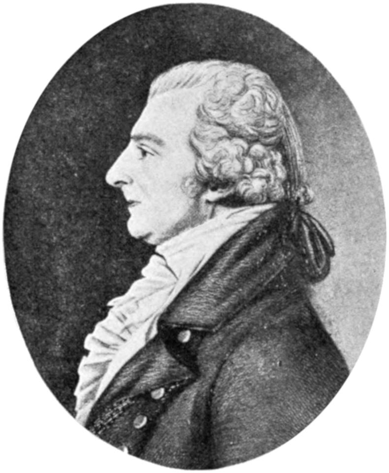
DR. WILLIAM THORNTON
One of the interesting historic landmarks in the National Capital is the old
Land Office Building at Seventh and Eighth and E and F Streets NW., where it
occupies an entire square. It was designed by Robert Mills in 1830 and
constructed of marble from New York and Maryland under the supervision of
Thomas U. Walter, Architect of the Capitol, at a cost exceeding $2,000,000. It was
built during that decade when the Patent Office and the Department of the Treasury
Buildings, similar in their classical type of architecture, were authorized by
Congress and placed under way during the administration of President Jackson.
This building was erected as the first permanent building for the Post Office
Department and of the city post office.
Here, in 1844, the first telegraph office in the United States and of the world
was opened and operated by S. F. B. Morse, the site being marked by a bronze
plaque in the wall on the east side of the building.
The first attempt to determine longitude by telegraph also was made in
this building in 1846. Earlier in the century a building stood here in
which the
first theatrical performance in the National Capital was given. The site, too, was
at one time considered for the Botanic Garden. Until 1880 this section was the
residential district of the city.
During the World War the building was occupied by Gen. Enoch Crowder,
in charge of the National Selective Draft Board. On his return from France,
General Pershing made it his headquarters. Since his retirement the building
has been occupied in part by the United States Tariff Commission.
The original two buildings burned, whereupon Congress authorized the
erection of a new Patent Office Building according to the designs of Robert
Mills, architect. The present building
was begun in 1837 and completed
in 1867. Doctor Thornton was the
first Commissioner. It occupies
two squares, at Seventh and Ninth
and F and G Streets NW., at the site
where L’Enfant had indicated in his
plan there should be a great national
church. It is a monumental marble
building, Doric in its style of architecture,
and with its large pediments
and columns—in design and size like
those of the Parthenon—creates the
impression of simple dignity and
beauty that is eternal. Models of
American inventions to the number
of 200,000 were kept in this building
until the new National Museum was
built. The Patent Office has been
moved into the new Department of Commerce Building. It is one of the large
bureaus of the Department of Commerce.
On August 7, 1783, the year that witnessed the treaty of peace at Paris,
Congress ordered—
That an equestrian statue of General Washington be erected at the place where Congress
shall be established, * * * in honor of George Washington, the illustrious Commander in Chief
of the Armies of the United States of America during the War which vindicated and secured their
liberty, sovereignty, and independence.
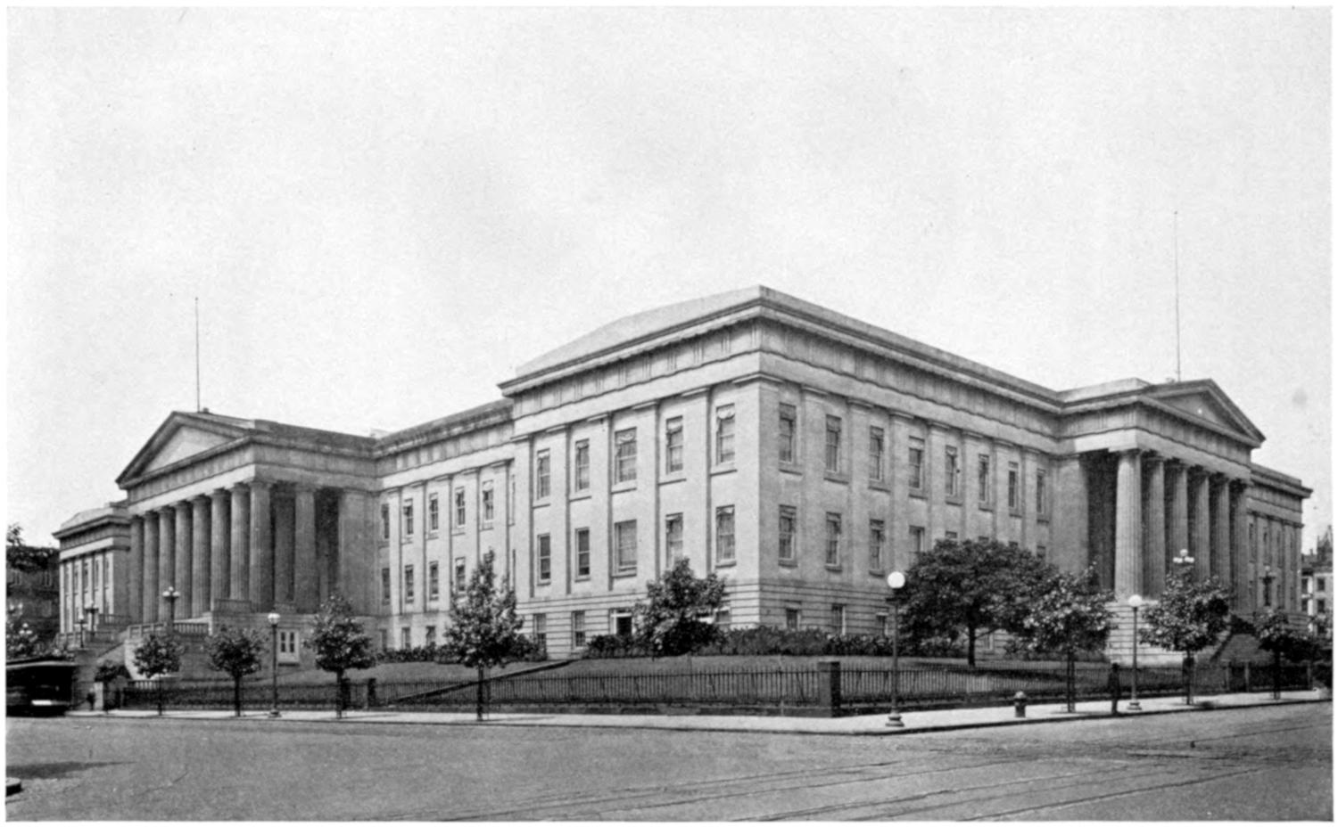
OLD PATENT OFFICE BUILDING, NOW CIVIL SERVICE COMMISSION BUILDING
But no action was taken to carry out this legislation. The monument was to
have been executed by Ceracchi, a Roman sculptor, and paid for by contributions
of individuals. As has been mentioned, a site for it was marked on the L’Enfant
map of the city of Washington at the intersection on the Mall of the axis of the
Capitol and the White House.
As President, by his wise administration of the affairs of the new Republic,
General Washington so added to his fame and so won the gratitude of his countrymen
that on his death a select joint committee of both Houses of Congress was
appointed to consider a suitable manner of paying honor to his memory. Thus,
on December 23, 1799, on motion of John Marshall in the House of Representatives,
it was resolved by Congress—
That a marble monument be erected by the United States in the Capitol, at the city of Washington,
and that the family of General Washington be requested to permit his body to be deposited
under it; and that the monument be so designed as to commemorate the great events of his military
and political life.
It was then proposed to make an area in front of the Capitol available for the
monument, and an appropriation of $100,000 was proposed to carry the resolution
into effect. Instead of an equestrian statue, by the terms of this resolution
the monument was to take the form of a “mausoleum of American granite and
marble, in pyramidal form, 100 feet square at the base and of a proportionate
height.”
On January 1, 1801, the House of Representatives passed a bill appropriating
$200,000 for the monument. The Senate, however, did not concur in this act,
due, it is thought, to political questions that absorbed the attention of Congress
and the people until the War of 1812.
In 1816 the General Assembly of Virginia endeavored to secure the consent
of Judge Bushrod Washington, then proprietor of Mount Vernon, to have the
remains of President Washington removed to Richmond, there to be marked by a
fitting monument to his memory.
When this came to the attention of Congress a select joint committee was
appointed which recommended that a tomb should be prepared in the foundations
of the Capitol for the remains of George Washington and that a monument
should be erected to his memory. But this plan failed, because Judge Bushrod
Washington declined to consent to the removal of the body of George Washington
from the vault at Mount Vernon, where it had been placed in accordance
with Washington’s express wish. Nevertheless, a vault appears to have been
prepared beneath the center of the Dome and Rotunda of the Capitol and beneath
the floor of the crypt.
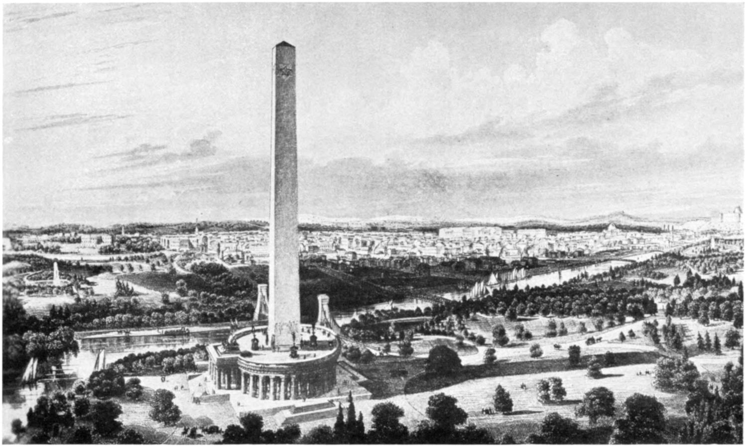
PLAN OF THE WASHINGTON MONUMENT, BY ROBERT MILLS
In 1833 a group of public-spirited citizens organized the Washington National
Monument Society, for the purpose of erecting “a great National Monument to
the memory of Washington at the seat of the Federal Government.” The first
meeting was held on September 26, 1833, in the city hall, now the District of
Columbia Supreme Court Building. Chief Justice John Marshall, then 78 years
of age, was chosen the first president of the society. The population of the United
States had grown from 3,329,214 in 1790 to 12,866,020 in 1830, with 28 States in
the Union at that time. In 1835 the president of the society, John Marshall, died
and was succeeded in the office by ex-President James Madison, who took steps to
inaugurate a national campaign to secure contributions through agents appointed
to collect funds. Upon the death of Mr. Madison the society amended its constitution
so that thereafter the President of the United States should be ex officio
its president. The first to so occupy the office was Andrew Jackson.
The progress of the society was at first slow, and in 1836 only about $28,000
had been collected. In 1836 advertisements were published by order of the society
inviting designs from American artists, but no limitation was placed upon the form
of the design. It was determined by the society, and so recommended, that any
plans submitted should “harmoniously blend durability, simplicity, and grandeur.”
The estimated cost for the proposed monument was not less than $1,000,000. A
great many designs were submitted, but the one selected among the number was
that of Robert Mills, a well-known and eminent architect of that period. This
plan was published. It is the design of an obelisk 500 feet high and 70 feet at the
base, rising from a circular colonnaded building 100 feet high and 250 feet in diameter,
surrounded by 30 columns of massive proportions, being 12 feet in diameter
and 45 feet high. There was to be an equestrian group over the portal. The interior
was designed to be “a spacious gallery and rotunda,” which was to be a
national pantheon, adorned by statues of the Colonial Fathers, paintings commemorative
of battle scenes of the Revolution, and a colossal statue of George
Washington. The feature of the pantheon surrounding the shaft was never formally
adopted by the society as a part of the Monument. Its first purpose was to
secure the necessary funds for the shaft.
By December 10, 1838, the funds of the society had reached $30,779.84, and
the following year a restriction of a contribution to the sum of $1 appears to
have been removed. In 1846 the society, through its ex officio president, James
K. Polk, made another appeal, stating the society wished to proceed with the
erection of the Washington Monument, and it was hoped legislation would be
enacted at the following session of Congress to provide a location for it. By a
resolution adopted February 29, 1847, the United States consuls abroad were also
invited to solicit subscriptions “for the erection of a suitable National Monument
to the memory of Washington from American citizens, seamen, and others of liberal
patriotic feelings.” In that year the fund was increased to $70,000. Congress
thereupon, in January, 1848, granted authority for the erection of the Washington
Monument on public reservation No. 3, on the plan of the city of Washington,
containing upward of 30 acres, where the Monument now stands, near the Potomac
River, west of the Capitol and south of the President’s house. As has been
related, the actual location of the Monument was fixed at a point more east and
south of the position indicated in the plan of L’Enfant, because it was somewhat
more elevated ground and regarded more secure for the foundation. The original
intersection had been marked by Thomas Jefferson by a small monument, known
as the Jefferson pier. In the McMillan Park Commission plan of 1901 the site of
this pier is indicated for a circular pool.
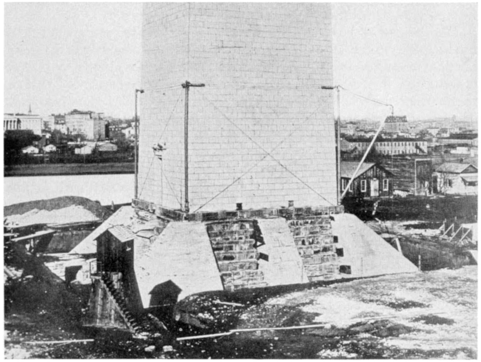
THE WASHINGTON MONUMENT UNDER CONSTRUCTION, 1872
On July 4, 1848, under a bright sky, in the presence of the President and Vice
President of the United States, Senators and Representatives in Congress, heads
of the executive departments and other officers of the Government, the judiciary,
representatives of foreign governments, military organizations, associations of
many descriptions, delegations from the States and Territories and from several
Indian tribes, the corner stone was laid. Hon. Robert C. Winthrop, Speaker of
the House of Representatives, delivered the oration. Three distinguished persons
of George Washington’s time were present on this notable occasion: Mrs. Dolly
Madison; Mrs. Alexander Hamilton, widow of the first Secretary of the Treasury;
and George Washington Parke Custis, the adopted son of George Washington.
The corner stone laid, the society began operations to lay foundations and to
raise the shaft. Every precaution was taken to test the understrata where the
foundations were laid. At a depth of 20 feet a solid bed of gravel was reached;
the strata were found to be very compact, requiring a pick to break them up.
By January, 1853, the Monument was 126 feet high, and in about six years
from the date of the laying of the corner stone it had reached the height of 152
feet. During this period the society continued most actively at work in the raising
of funds to carry the Monument forward. In 1854, however, an act occurred at
the Monument which created much indignation and public discussion through
the country. A block of marble, which had originally stood in the Temple of
Concord at Rome, and which had been sent by the Pope to be set in the wall of
the Monument, was stolen, and no trace of it was ever found. At the time contributions
of stones from societies, municipalities, and the several States were being
encouraged, so the Pope’s stone was not an unusual gift. The disappearance of
the stone angered and estranged a large body of citizens and discouraged the collection
of public contributions, so that all construction work ceased. By 1854,
$230,000 had been spent on the structure, and funds for it were now exhausted.
In 1859 Congress passed an act incorporating the Washington National Monument
Society for the purpose of completing the Monument. In 1869 Senator
Nye introduced a bill to insure completion of the Monument, and several like
bills were introduced during the next few years. On February 22, 1873, a
committee of the House of Representatives recommended an appropriation of
$200,000. It was estimated that $700,000 would be required to finish the shaft,
constructing also a suitable base, and that the work would be completed by
July 4, 1876, the one hundredth anniversary of American independence.
This gave the needed impetus to the completion of the project.
Vigorous campaigns for funds were conducted in the States, and campaign
meetings were held in several large cities. In June, 1876, the society published
a further appeal, signed by its officers. President Grant was ex officio president
of the society at the time. On August 2, 1876, Senator John Sherman offered a
concurrent resolution in the Senate that the Monument to commemorate the
achievements of George Washington in behalf of the Republic be completed
during the centennial year. A bill appropriating $200,000 for the project was
approved by the President that day. At the same time a special board of officers
was detailed from the Corps of Engineers to investigate and report on the
sufficiency of the foundations.
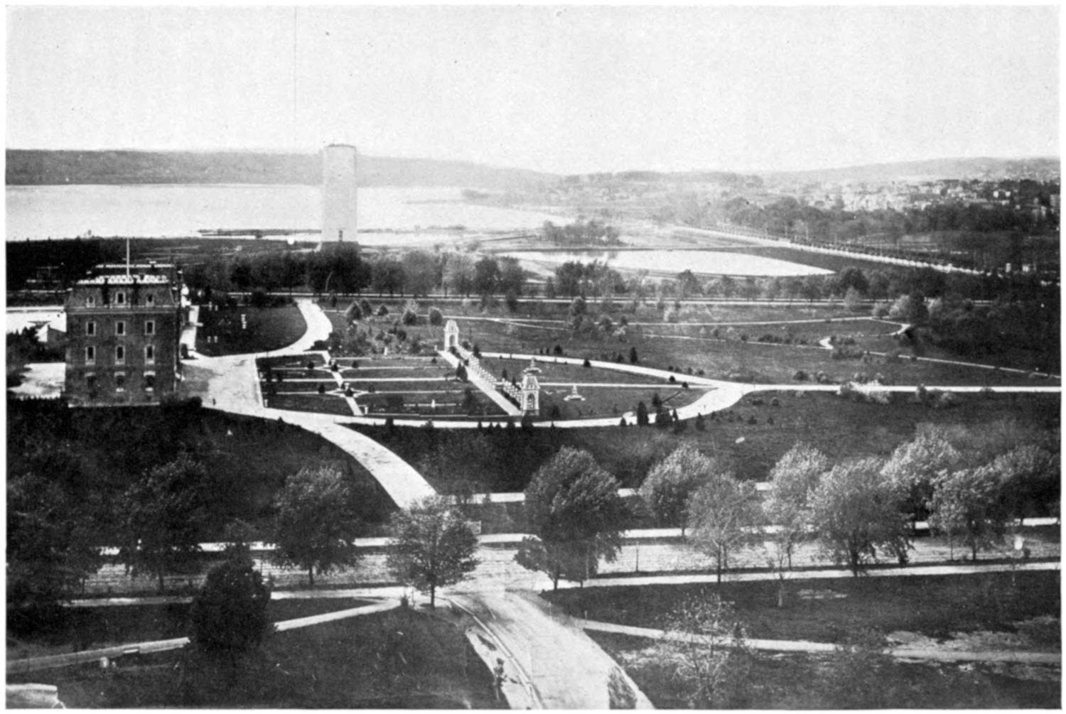
UNCOMPLETED WASHINGTON MONUMENT AS IT APPEARED FROM 1852 TO 1878
The board appointed in 1876 reported that the foundations were not sufficient,
and the first work undertaken by the Government consisted in underpinning
the structure. This was accomplished under the direction of Lieut. Col. Thomas
Lincoln Casey, afterwards Chief of Engineers, United States Army, who was
the engineer in charge of construction of the State, War, and Navy Building
at the time, and later of the Congressional Library Building. Colonel Casey was
assisted by Capt. George W. Davis, United States Infantry, later major general,
who was afterwards relieved by Bernard R. Green, C. E. The work of excavating
beneath the Monument was commenced January 28, 1879, and the new foundation
was finished May 29, 1880. Colonel Casey stated in his report:
The project or design of the work is an obelisk 550 feet in height, faced with white marble and
backed with dressed granite rock. Of this structure 156 feet is already finished.
The base of the Monument is 55 feet square, the top will be 34 feet 6 inches square, and it will
be crowned with a pyramidion, or roof, 50 feet in height.
The proportions of the parts of this obelisk are in exact accordance with the classic proportions
of parts of this style of architecture, as determined after careful research by Hon. George P.
Marsh, American minister at Rome.
The shaft as proportioned, both in dimensions and weight, will be entirely stable as against
winds that could exert a pressure of 100 pounds or more per square foot upon any face of the
structure.
The project includes the preparation of the foundation so as to enable it to carry this structure.
This preparation or strengthening consists in making the existing foundation wider and deeper, in
order to distribute the weight over a greater area, and in bringing upon each square foot of the
earth pressed no greater weight than it is known to be able to sustain.
The mass of concrete beneath the old foundation is 126 feet 6 inches square,
13 feet 6 inches in depth, and extends 18 feet within the outer edge of the old
foundation and 23 feet 3 inches beyond this line. In placing this work, 70 per cent
of the area of the earth upon which the Monument was standing was removed.
The second part of the strengthening of the foundation consisted in constructing
a continuous buttress beneath the shaft and extending out upon the concrete
slab, so as to distribute the pressure over the foundation. In this operation sections
of the rubble masonry were removed and replaced with concrete. As compared
with the original bulk of the old foundation, 51 per cent of its contents was
removed and 48 per cent of the area of the base of the shaft undermined. The
new foundation rests on a bearing surface 126 feet 6 inches square, or 16,002
square feet, as compared with 6,400 square feet for the old foundation.
The entire work of underpinning was accomplished without causing the
slightest crack or the least opening in any joint of that portion of the Monument
already constructed, which, including the foundation, was 80 feet square at its
base. The new foundation rests upon a bed of fine sand 2 feet in thickness, below
which is a bed of bowlders and gravel. Borings were made in this deposit for a
depth of 18 feet without passing through it. Thus, as completed, the new foundation
covers two and a half times as much area and extends 13¹⁄₂ feet deeper
than the old one, being 36 feet 10 inches in depth. The bottom of the work is
only 2 feet above the level of high tide in the Potomac. No settlement has
occurred to date.
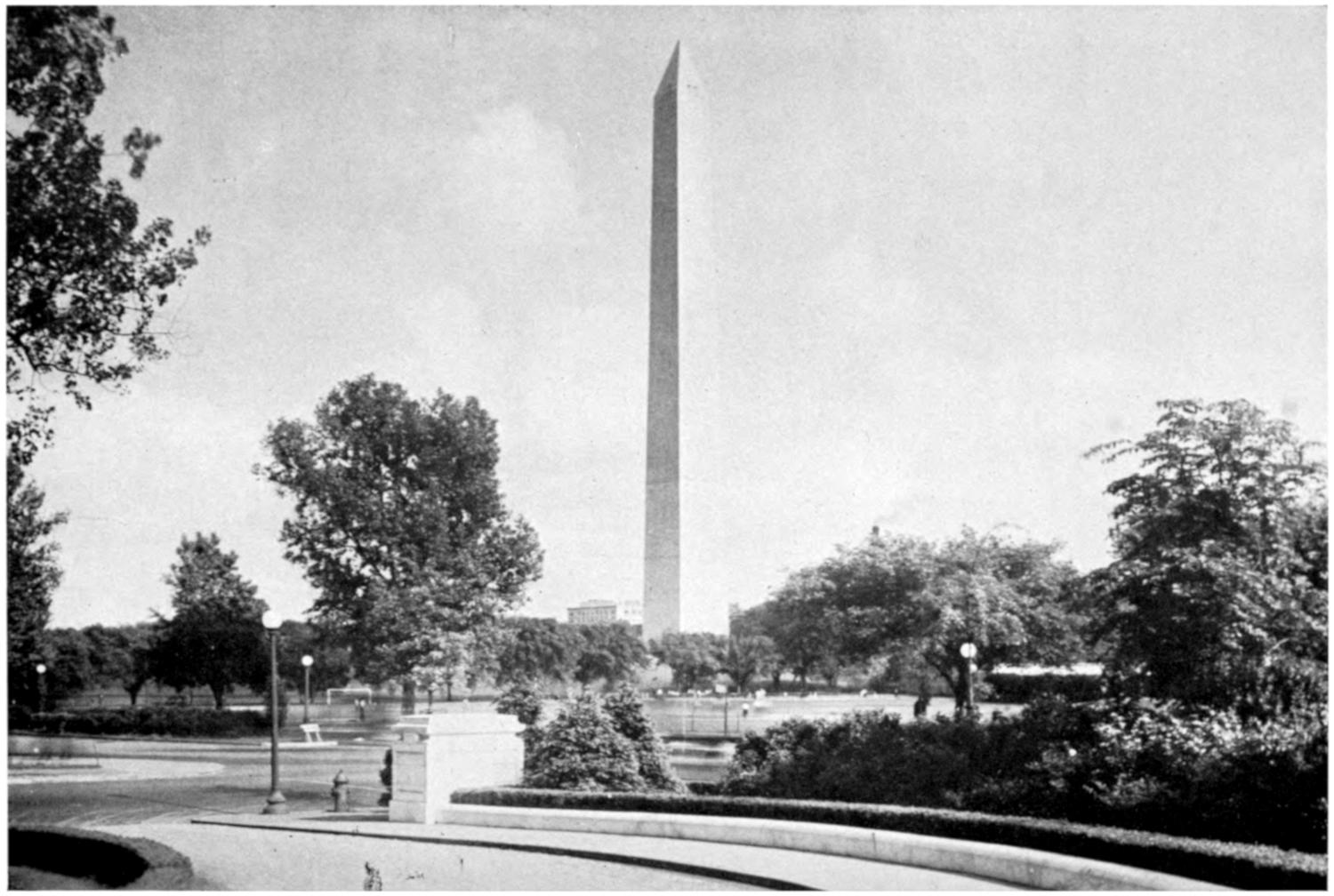
THE WASHINGTON MONUMENT AS SEEN FROM THE MALL GROUNDS
Work was resumed on the shaft in 1880. The first 13 courses—26 feet—were
faced with white marble from Massachusetts. The remainder is Maryland
white marble similar to that used in the lower section. The new work was
backed with dressed New England granite to the 452-foot elevation, above
which the walls are entirely of marble, of through-and-through blocks, and from
the 470-foot level, where the ribs of the pyramidion begin, the courses are secured
to each other by mortise and tenon joints cut in the builds and beds of the stone.
During the working season of 1880, 26 feet were added to the shaft; in 1881 there
were added 74 feet; in 1882, 90 feet; in 1883, 70 feet; in 1884, 90 feet. These
additions brought the walls of the shaft to a height of 500 feet on August 9, 1884.
The pyramidion topping the shaft is supported on 12 marble ribs, which spring
from the interior faces of the walls of the well, beginning at the 470-foot level.
The covering slabs are 7 inches in thickness and are supported upon projections
or spurs on the marble ribs. The pyramidion has a vertical height of 55 feet 5¹⁄₈
inches and consists of 262 separate stones. The weight of the pyramidion is
300 tons. The capstone, which weighs 3,300 pounds, was set in place on December
6, 1884. Over it is a small pyramid of pure aluminum 5.6 inches at its base, 8.9
inches high, and weighs 100 ounces, the largest piece of this metal ever cast in
any country to that time. The following inscriptions appear on the four faces
of the aluminum capstone:
JOINT COMMISSION AT SETTING OF CAPSTONE:
CHESTER A. ARTHUR, M. E. BELL, EDWARD CLARK, JOHN NEWTON,
ACT OF AUGUST 2, 1876.
CORNER STONE LAID ON BED OF FOUNDATION JULY 4, 1848.
FIRST STONE AT HEIGHT OF 152 FEET LAID AUGUST 7, 1880.
CAPSTONE SET DECEMBER 6, 1884.
CHIEF ENGINEER AND ARCHITECT, COL. THOMAS LINCOLN CASEY, CORPS OF ENGINEERS.
ASSISTANTS: GEORGE W. DAVIS, CAPTAIN FOURTEENTH INFANTRY;
BERNARD GREEN, CIVIL ENGINEER; MASTER MECHANIC, P. H. MCLAUGHLIN.
LAUS DEO.
The entire height has been made slightly greater than ten times the breadth of
the base, producing an obelisk that for grace and delicacy of outline is not excelled
by any of the larger Egyptian monoliths, while in dignity and grandeur it surpasses
any that can be mentioned. The Monument tapers one-fourth of an inch to
the foot, being 15 feet thick at the base and 18 inches thick at the top of the shaft.
When the capstone was set in place a salute was fired by artillery stationed near
the base, while the national flag was unfurled to the breeze in the rigging far
above. The cost of the Monument was $1,300,000. To the criticism that the
obelisks of old were monoliths, the reply was made that this Monument to Washington
will not be less significant or stately because of being made up of many
separate stones, for our country has been proud to give examples of both political
and material structures which owe their strength to union; and this Monument
embodies the idea of our national motto, E Pluribus Unum.
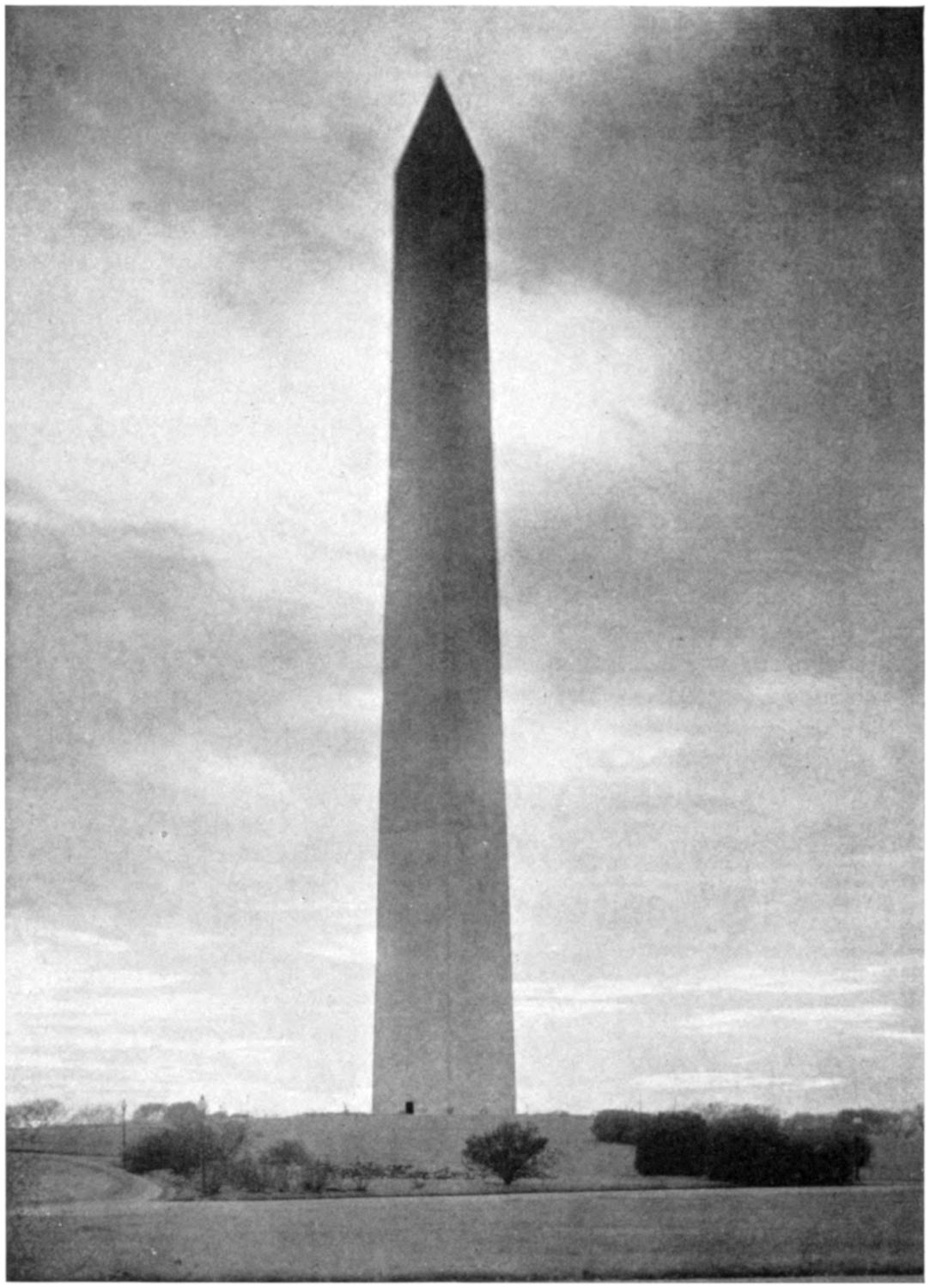
THE WASHINGTON MONUMENT
With a view of having the States of the Union properly represented in the
Monument the society extended an invitation for each State to furnish for insertion
in the interior walls a block of marble or other durable stone—a production
of its soil—of the following dimensions: 4 feet long, 2 feet high, and with a bed of
from 12 to 18 inches, the name of the State to be cut thereon in large letters, and if
desirable to the donor, the State’s coat of arms also. Later, this invitation to
contribute memorial blocks of stone was extended to embrace such a gift from a
foreign government. In response to these invitations many rich and durable
blocks of stone were received which now adorn the interior walls of the shaft (in
1929 the memorial stones numbered 187) from all parts of the world, including
one from the Parthenon at Athens, the ruins of ancient Carthage, and the tomb
of Napoleon at St. Helena. These memorial stones begin at a height of 30 feet
and end at 290 feet.
Great preparations were made for dedication of the Monument. This took
place on February 21, 1885, with Hon. John Sherman, chairman of the commission,
presiding. Several descendants and relatives of the Washington family
were present. The orator of the day was again the Hon. Robert C. Winthrop,
who as Speaker of the House of Representatives had delivered the
oration at the laying of the corner stone July 4, 1848. His oration on this occasion
was read, as illness prevented him from being present. Among those in Washington
to-day who witnessed the dedication is Hon. William Tyler Page, then
serving as a page in the House; later becoming Clerk of the House of Representatives
and executive secretary of the George Washington Bicentennial Commission.
Thus when we are reminded of the three friends of George Washington
who were present at the corner-stone laying of the Washington Monument we
must indeed admit that we even of this day are not far removed from him and his
times, and that our Republic is still young, though greater achievements have
been wrought in the past 100 years than in the previous 1,000 years of the
world’s history.
The efforts of the Washington National Monument Society had at last been
realized, and the American people beheld the consummation of their desire—a
great monument erected at the seat of the Federal Government to the name and
memory of George Washington.
The interior is lighted by electricity, affording an opportunity to see the
memorial stones. Ascent is made by means of an elevator and an iron stairway,
supported by 8 vertical iron columns—4 columns terminating at a height of
500 feet and 4 within the roof at 517 feet—which sustain the elevator machinery
above. The iron stairway consists of short flights, strung along the
north and south sides of the wall, connecting with iron platforms 4 feet 8 inches
wide (to a height of 150 feet) and 7 feet 10³⁄₄ inches wide, 20 feet apart on a side,
and extending along the east and west walls. There are 50 flights and 900
steps. From these steps and platforms the inscriptions may be read.
In 1926 a new elevator was installed. It is of the electrically driven, gearless,
single wrap, traction type, with a speed of 500 feet per minute and a lifting
capacity of 6,000 pounds, exclusive of the weight of the car and cables. It is
equipped with a micro-leveling device, which insures exact leveling of the car at
landings and also makes possible the operation of the elevator at slow speed in
case of failure of the main motor, thus eliminating the danger of stalling the car
between landings. It accommodates 30 persons and makes 12 trips per hour.
There are 8 windows at a height of 504 feet above ground—2 windows in each
of the 4 faces of the pyramidion—4 feet above the 500-foot landing. These
windows measure 18 inches by 3 feet on three sides, and on the east side 2 feet
by 3 feet. Looking to the east from the windows one sees the stately Capitol; to
the north, across the President’s Park, the beautiful mansion of the Chief Magistrate;
to the northeast, the Soldiers’ Home; to the northwest, the great residential
section, the Naval Observatory, and the Washington Cathedral; to the west
the beautiful Potomac River, as it winds its way for miles past the city, and
Arlington National Cemetery, the Nation’s most sacred resting place for those
who served in defense of their country; and as we follow the Potomac southward
there is Alexandria, 6 miles beyond, and in the faint distance Mount Vernon,
where is the tomb of the immortal Washington. And on that lofty height, the
greatest single piece of masonry in the world, we think also of other high structures—the
Empire State Building, with 86 stories, 1,248 feet; Chrysler Building,
68 stories, 1,046 feet; Bank of Manhattan, 65 stories, 838 feet; Woolworth Tower
60 stories, 792 feet; Metropolitan Life Insurance Building, 700 feet; The New
York Life Insurance Building, 610 feet, at the site of the former famous Madison
Square Garden; Singer Tower, 612 feet; spires of Cologne Cathedral, 524 feet;
spire of Old St. Paul’s, London, 508 feet; Pyramids of Cheops, 480 feet; Book
Tower, Detroit, 472 feet; Victoria Tower, Westminster, 325 feet; Statue of Liberty,
317 feet; Bennington Battle Monument, 306 feet; the Capitol, 287 feet;
Bunker Hill Monument at Boston, 221 feet. In 1890 Daniel H. Burnham completed
the Masonic Temple, in Chicago, “the tallest building in the world,” 21
stories high, among the first of all-steel construction. In New York City the
caisson for high-building foundation work was first adopted in the Manhattan
Life Insurance Building, near Exchange Place on Broadway, in 1894. Built on a
foundation of bedrock 55 feet below the surface, the structure of 18 stories was
built 350 feet in height from the sidewalk.
The masonry constructed by the Government is the best known to the engineering
art, and the weight is so distributed that, subject to a wind pressure of
100 pounds per square foot on any face, corresponding to a wind velocity of 145
miles per hour, the Monument would have a large factor of safety against overturning.
The entire weight is 81,120 tons. The weight of the foundations is
36,912 tons, and there is a maximum pressure on the underlying soil of 9 tons
per square foot.
In the morning the Monument catches the first rays of the sun. In stormy
weather the top stands like a mountain peak, immovable, as seen amidst clouds.
So, indeed, does the great and noble Washington overtower all of his contemporaries
of the Revolutionary War and the formative period of this Republic. The
Washington Monument has been fittingly described as typifying the character of
George Washington—lofty in its grandeur, plain in its simplicity, and white in
its purity. The following is a quotation from the oration of Speaker Winthrop
delivered at the laying of the corner stone on July 4, 1848:
Lay the corner stone of a monument which shall adequately bespeak the gratitude of the whole
American people to the illustrious Father of his Country. Build it to the skies; you can not outreach
the loftiness of his principles! Found it upon the massive and eternal rock; you can not make
it more enduring than his fame. Construct it of peerless Parian marble; you can not make it purer
than his life. Exhaust upon it the rules and principles of ancient and modern art; you can not make
it more proportionate than his character.
In the United States the founding of a soldiers’ home dates from March 3,
1851, when an act of Congress was passed and approved “to found a military
asylum for the relief and support of invalid and disabled soldiers of the Army of
the United States.” For years before this, however, the principal officers of the
Army, particularly Maj. Gen. Winfield Scott, had given the subject attention
and had made special efforts to procure the needed legislation. In February, 1848,
General Scott transmitted to the Secretary of War a draft for $100,000 as part of
the tribute levied by him on the City of Mexico for the benefit of the Army, and
he expressed the hope that it might be allowed to go to the credit of an Army
asylum.
This home for the Regular Army was established in the District of Columbia
in 1851-52. It is located about 3 miles due north from the Capitol. The
original purchase of land was 256 acres. Additional tracts added since the
original purchase make a total of 500³⁄₄ acres.
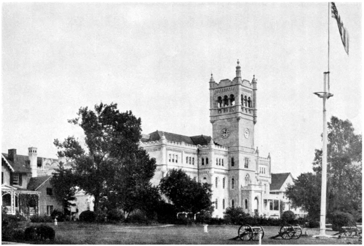
UNITED STATES SOLDIERS’ HOME
The south part of the main building is named for Gen. Winfield Scott, the
founder of the home; the addition on the north for Gen. William T. Sherman.
Constructed of white marble; it was commenced in 1852 and completed in 1891;
is of Norman Gothic design, 251¹⁄₂ feet long by 158¹⁄₂ feet wide, and has a clock
tower; it will accommodate 370 members and contains a library and billiard hall.
The old homestead building near to and west of the Scott Building is named
after Gen. Robert Anderson, of Fort Sumter renown, to commemorate the fact
of his early advocacy of and great interest in the establishment of the home. It
was the home of the first members and has frequently been used as the summer
residence of the President. President Buchanan occupied it in 1856-1860, President
Lincoln in 1861-1864, President Hayes in 1877-1880, and President Arthur
in 1882-1884. President Garfield thought of occupying it in the summer of 1881.
The eastern building—especially for members—was the first erected and is
called the King Building, after Surg. B. King, for 13 years the attending surgeon
and secretary and treasurer of the home.
The brick quarters northwest of the Sherman Building, erected in 1883, is
called the Sheridan Building, in honor of Gen. Philip H. Sheridan, who was the
president of the board of commissioners when the building was erected.
More recently built structures are the Grant Building, completed in 1911, of
white marble, accommodating 272 members and containing the hall of the general
mess, mess kitchen, and cold storage.
Stanley Hall, named for a former governor of the home, was completed in
1897, and is the general amusement hall, seating about 700 persons.
A neat chapel, built of red stone, was completed in 1871. Religious worship—Protestant
and Roman Catholic—is regularly observed.
A well-designed hospital was completed in 1876 and is known as the Barnes
Building. The Forwood Building and the La Garde Building have since been
added. The maximum capacity of the present hospital is 500 beds. It is not only
for the sick, but is an infirmary for the aged and helpless members.
The home maintains a library of 20,385 volumes, with newspapers and magazines,
which are added to yearly as funds will permit.
A portion of the spacious grounds is cultivated for the benefit of the home;
but the largest part is woodland, and through it all, taking advantage of its topography,
nearly 10 miles of graded macadamized roads have been constructed, winding
through groves of selected trees of native and foreign varieties and over the
open ground, commanding fine views of the city, the Potomac River, and the
surrounding country for miles. The park is open to the public.
Soldiers of 20 years’ service, and men, whether pensioners or not, who disabled
by wounds or disease in the service and in the line of duty and have been
honorably discharged from the Army are admitted to the home.
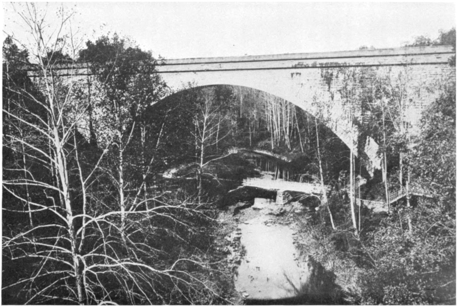
CABIN JOHN BRIDGE
Erected about 1860 by Gen. Montgomery G. Meigs, this bridge spans Cabin
John Run, about 7 miles northwest of Washington. It is a part of the aqueduct
system, and the arch spanning the stream is 220 feet across at the base and 105
feet in height. The entire length of the bridge is 584 feet. The thickness of the
bridge above the arch is 14¹⁄₂ feet, and it is 20 feet in width. Until a few years ago
it was the largest stone arch in the world.
Ford’s Theater Building, in which President Lincoln was assassinated while
attending a performance on the night of April 14, 1865, is on the east side of
Tenth Street between E and F Streets NW.
The building was originally a Baptist Church and used as such for more than
15 years. It was used as a theater less than three years—from 1862 to 1865—and
never as such after the night of the assassination. Taken over immediately by
Secretary of War Edwin M. Stanton, it was made over into a 3-story building for
use of the War Department and was so used for many years. Now it is a Government
building, housing in part a portion of the Oldroyd collection from the
Lincoln museum. On April 9, 1893, while repairs were being made, the three
floors collapsed, killing 22 clerks and injuring 68.
The residence of Harry C. Ford, who was manager of the theater for his
father, John T. Ford, stood adjacent to the theater on the right.
Across the street from Ford’s Theater stands a red brick house (No. 516
Tenth Street NW.) to which President Lincoln, after being shot about 10.30
o’clock on the night of April 14, 1865, was carried and where, after an interval of
9 hours, he died at 22 minutes after 7 o’clock the following morning without
regaining consciousness.
The room to which the martyred President was brought is a little front one
on the main floor. In size and simplicity it was a room like that of the log cabin
in Kentucky in which the great man was born. As a man of the people, though
they had elevated him to the highest position the Nation could bestow on any of
its citizens, he died amidst simple surroundings as one of them.
The house was purchased by the United States Government in 1897 for $30,000;
the Oldroyd Lincoln Memorial Collection was purchased for $50,000 and taken
over by the Government September 1, 1926. It is now under the jurisdiction
of the National Park Service, and is visited by many thousands each year.
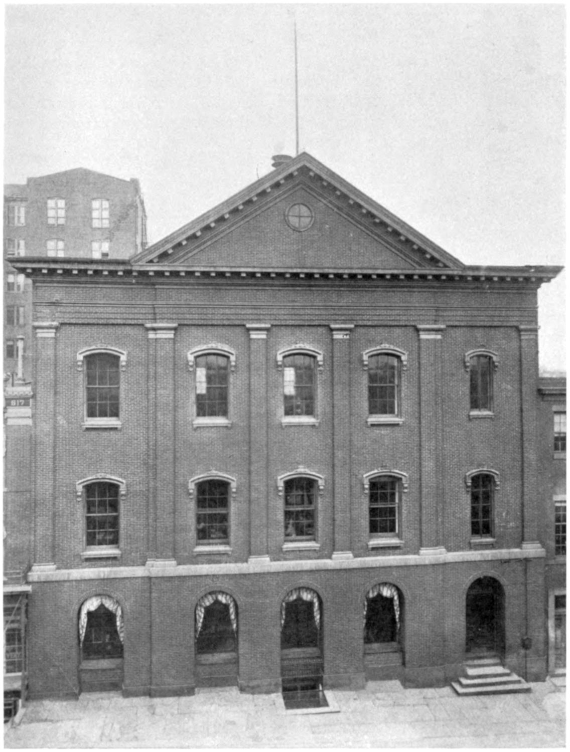
Courtesy of Leet Brothers
FORD’S THEATER
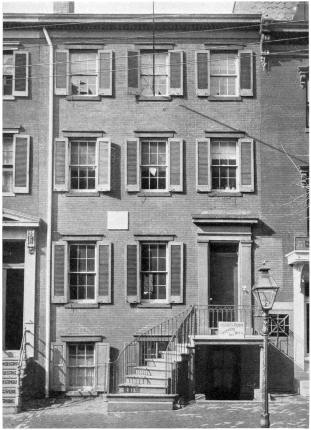
THE HOUSE IN WHICH PRESIDENT LINCOLN DIED
Mr. Oldroyd gathered in the course of 50 years upward of 3,000 articles pertaining
to the martyred President. These can be seen by visitors to the house.
The room in which Abraham Lincoln died has been kept as nearly as possible
as it was when Lincoln passed away and when Stanton said, “Now he belongs
to the ages.”
The following are some of the articles that can be seen: Wreaths that lay upon
the casket in Washington and at the final burial in Springfield, Ill., and a rose
taken from his bosom just before the casket was closed—faded, but hermetically
sealed in a small glass case, it still appears a rose. There is also in the house furniture
used by Mrs. Lincoln in Springfield, including her cookstove; the plain office
desk and chair Abraham Lincoln used while practicing law with William H.
Herndon; a plain black and white shawl that he wore in place of an overcoat, as
men did in those days; the last bit of writing he did; the Bible his mother, Nancy
Hanks, gave to him before she died, when he was not yet 9 years of age, and from
which he was taught to read; the desk upon which much of the Emancipation
Proclamation was written; also many documents, prints, and books describing
his life.
Chapter XXI PUBLIC AND SEMIPUBLIC BUILDINGS — THE CAPITOL — STATUE OF FREEDOM — BRONZE DOORS OF THE CAPITOL — BRONZE DOORS OF THE SENATE WING — BRONZE DOORS OF THE HOUSE OF REPRESENTATIVES WING — THE CONGRESS OF THE UNITED STATES — SENATE AND HOUSE OF REPRESENTATIVES OFFICE BUILDINGS — UNION STATION — WASHINGTON CITY POST OFFICE — LIBRARY OF CONGRESS — FOLGER SHAKESPEARE LIBRARY — SMITHSONIAN INSTITUTION — GOVERNMENT PRINTING OFFICE — THE WHITE HOUSE — DEPARTMENT OF STATE — DEPARTMENT OF THE TREASURY — OTHER IMPORTANT BUILDINGS — THE CORCORAN GALLERY OF ART — THE AMERICAN NATIONAL RED CROSS — MEMORIAL CONTINENTAL HALL — CONSTITUTION HALL — THE PAN AMERICAN BUILDING — THE NEW DEPARTMENT OF THE INTERIOR BUILDING — PUBLIC HEALTH SERVICE BUILDING — FEDERAL RESERVE BOARD BUILDING — NATIONAL ACADEMY OF SCIENCES — AMERICAN INSTITUTE OF PHARMACY — SCOTTISH RITE TEMPLE — CARNEGIE INSTITUTION OF WASHINGTON — CHAMBER OF COMMERCE OF THE UNITED STATES — NATIONAL GEOGRAPHIC SOCIETY — IMPORTANT BRIDGES OF WASHINGTON — CATHEDRAL OF ST. PETER AND ST. PAUL (WASHINGTON CATHEDRAL) — NATIONAL SHRINE OF THE IMMACULATE CONCEPTION — NATIONAL CHURCHES IN WASHINGTON — EMBASSIES AND LEGATIONS
The site for the Capitol, or the Federal House, as selected by L’Enfant, is on
what was then known as Jenkin’s Hill, 88 feet above the level of the Potomac
River.
The northwest cornerstone of the main building was laid on September
18, 1793, by President Washington with Masonic ceremonies. The building is
of Virginia sandstone from quarries on Aquia Creek.
The north wing was finished in 1800 and the south wing in 1811. A wooden
passageway connected them. Congress convened there for the first time at the
second session of the Sixth Congress, which began November 17, 1800, and ended
March 3, 1801.
The original designs were prepared by Dr. William Thornton, and the work
was done under the direction of Stephen H. Hallet, James Hoban, and George
Hadfield. Benjamin H. Latrobe was the architect. Washington and Jefferson
favored the classical type of architecture for the building, and it was adopted.
On August 24, 1814, the interior of both wings was destroyed by fire set by
the British. Many books of the small Library of Congress housed in the building
at that time were burned, whereupon Congress purchased the library of Thomas
Jefferson at Monticello. The damage to the Capitol was immediately repaired.
In 1818 the central portion of the building was commenced under the architectural
superintendence of Charles Bulfinch, architect, of Boston. The original
building was finally completed in 1827. Its cost, including the grading of the
grounds, alterations, and repairs, up to 1827, was $2,433,844.13.
Because of the growth of the Republic, after half a century it became necessary
to build a Senate Chamber on the north and a House of Representatives
Chamber on the south. The cornerstone of the extensions to the Capitol which
increased it to its present size was laid on July 4, 1851, by President Fillmore.
Daniel Webster was the orator of the day. This work was prosecuted under the
direction of Thomas U. Walter, Architect of the Capitol until 1865, when he
resigned, and was completed under the supervision of Edward Clark. The
House extension was first occupied for legislative purposes December 16, 1857,
and the Senate extension January 4, 1859.
The white marble used in the walls is from Massachusetts and that in the
columns from Maryland.
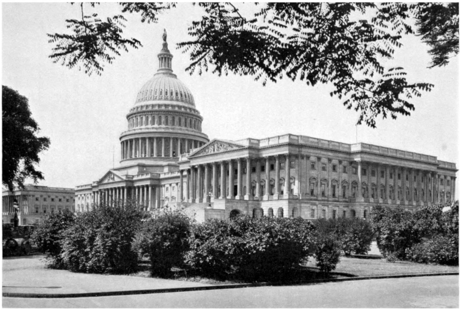
Courtesy of Commercial Photo Co.
THE CAPITOL
The entire length of the building from north to south is 751 feet 4 inches and
its greatest dimension from east to west is 350 feet. The area covered by the
building is 3¹⁄₂ acres.
The Dome of the original central building was constructed of wood, covered
with copper. The present structure of cast iron was commenced in 1856, and
completed in 1865. The entire weight of iron used is 8,909,200 pounds.
The Dome is crowned by the bronze Statue of Freedom, 19 feet 6 inches high
and weighing 14,985 pounds. It was modeled by the sculptor Thomas Crawford.
The height of the Dome above the base line of the east front is 287 feet 5 inches.
The height from the top of the balustrade of the building is 217 feet 11 inches.
The greatest diameter at the base is 135 feet 5 inches.
The Rotunda is 97 feet 6 inches in diameter, and its height from the floor to
the top of the canopy is 180 feet 3 inches. The canopy overhanging the Dome,
portraying the Apotheosis of Washington, was painted by Brumidi.
The Rotunda frieze, 65 feet above the floor, making a circle 300 feet in length
around the walls, illustrates important periods in American history.
Paintings in the Rotunda are as follows:
The Landing of Columbus on San Salvador, October 12, 1492, by Vanderlyn.
The Discovery of the Mississippi by De Soto, 1541, by W. H. Powell.
The Baptism of Pocahontas, Jamestown, Va., 1613, by John G. Chapman.
The Embarkation of the Pilgrims from Delft-Haven, July 22, 1620, by Robert W. Weir.
The Signing of the Declaration of Independence, Philadelphia, July 4, 1776, by John Trumbull.
The Surrender of Burgoyne, Saratoga, October 17, 1777, by John Trumbull.
The Surrender of Cornwallis, Yorktown, Va., October 19, 1781, by John Trumbull.
The Resignation of General Washington, December 23, 1783, by John Trumbull.
The Senate Chamber is 113 feet 3 inches in length by 80 feet 3 inches in
width and 36 feet in height. The galleries will accommodate 682 persons.
The House of Representatives Chamber is 139 feet in length by 93 feet in
width and 36 feet in height. In 1800 the Chambers were lighted by lamps and
tallow candles, and the 142 Representatives were seated in chairs. To-day
there are 435 Members of the House of Representatives, in addition to 2 Delegates
and 2 Resident Commissioners, who are seated on benches, which are
arranged in a semicircle like those of the theater of Dionysius. To-day the
Capitol is lighted by electricity and equipped with a modern ventilating system.
The room later occupied by the Supreme Court of the United States was
the Senate Chamber until 1859. Previous to that time the court occupied the
room immediately beneath, now used as a law library.
Beautiful paintings by Brumidi, Trumbull, and others adorn the Capitol, and
many statues, gift of the States, may be seen in Statuary Hall, set apart as such
in 1864, being formerly the House of Representatives Chamber.
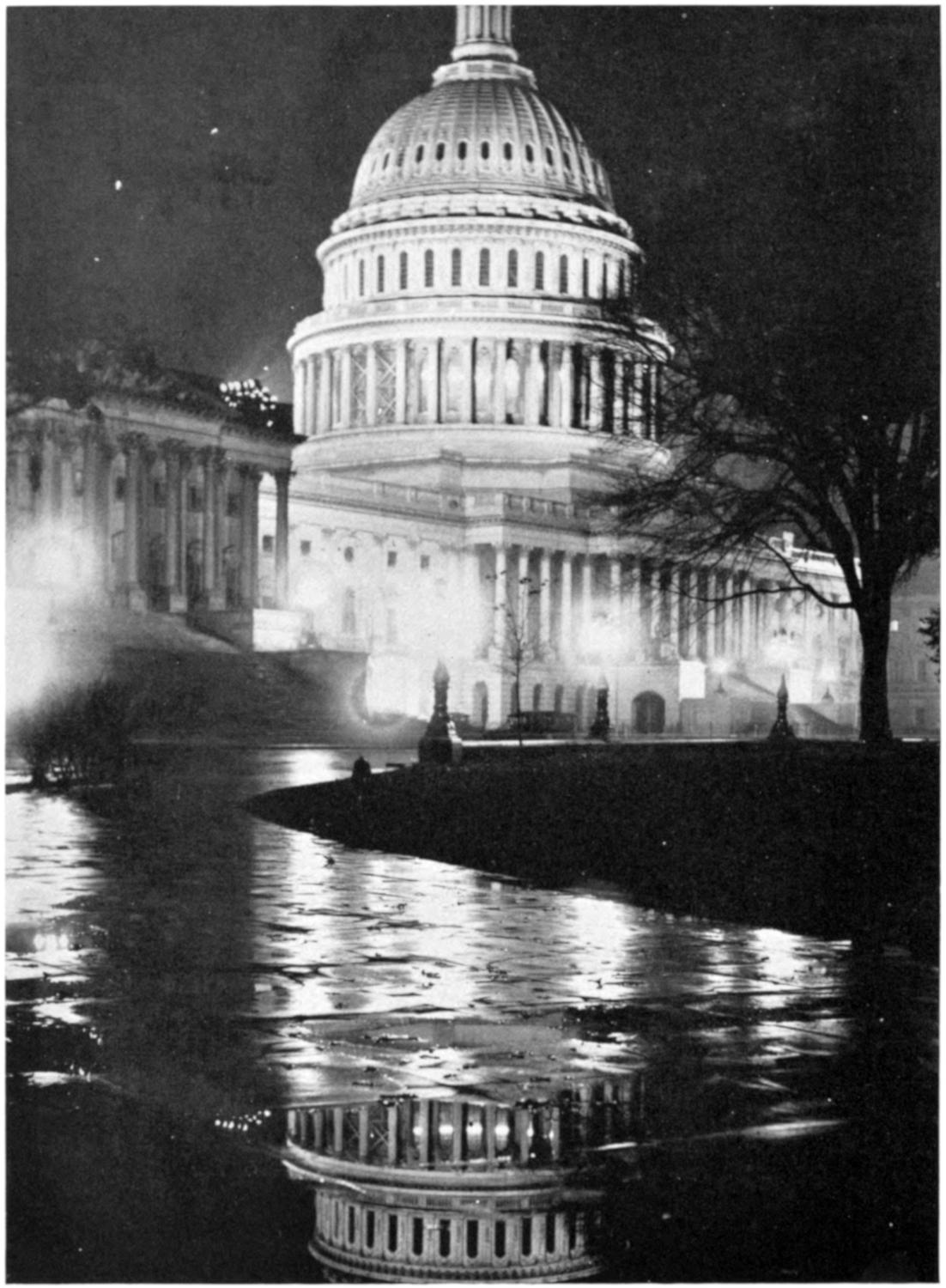
THE CAPITOL AT NIGHT
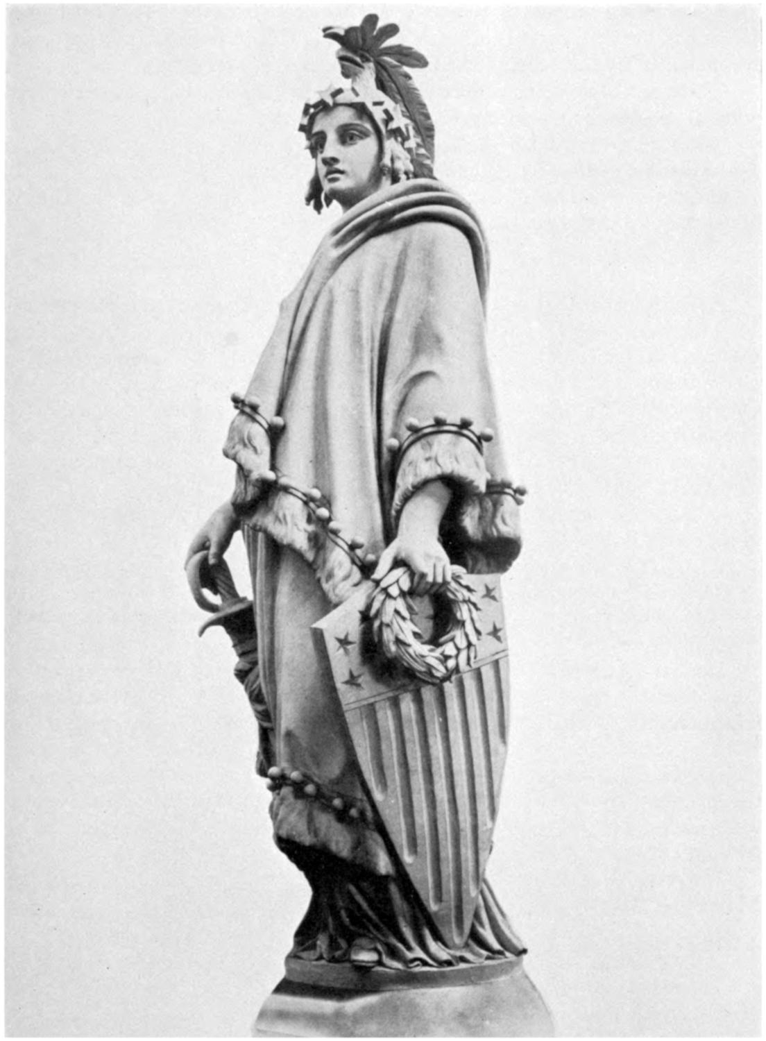
STATUE OF FREEDOM
Massive bronze doors by Rogers, depicting scenes from the life of Christopher
Columbus, are at the main entrance, the east, and open from the portico to the
Rotunda. They call to mind the Ghiberti doors in Florence.
There are 24 columns of Maryland sandstone, 30 feet high, in the central
portico. Statues by Greenough and Persico flank the steps.
The Capitol is to-day the most significant building in this country. Its
assessed value in 1930 for building and grounds was $45,000,000.
On the east portico of the Capitol newly elected Presidents of the United
States take the oath of office.
As has been stated, the Statue of Freedom surmounting the Dome of the Capitol
is the work of one of America’s great artists, Thomas Crawford. The modeling
was done in Rome, and at the time of his death, in 1857, he was endeavoring to
secure the necessary funds for the casting of it at the Royal Foundry at Munich.
On April 19, 1858, the plaster model was shipped from Leghorn, Italy, and after
a perilous voyage to New York it arrived in Washington in April, 1859. At that
time work on completion of the Capitol was proceeding under the supervision of
Thomas U. Walter, architect.
On May 24, 1860, the Secretary of War, in a statement concerning the casting
of the statue stated that—
it will be cast by Clark Mills and he will be paid for his services and for the rent of his foundry
[at Mills Avenue toward Bladensburg, where the Andrew Jackson equestrian was cast in 1853]
and necessary expenses at the rate of $400 per month and that the material, fuel, labor, etc., will
be paid for by the Government.
This arrangement had been entered into and the work had progressed to
quite an extent, when Captain Meigs, who had returned to duty at the Capitol,
issued a formal statement of the existence of war, on May 15, 1861, suspending
work on the Capitol extension and the new Dome. But subsequently, even
though the existence of war between the States handicapped the Government,
the necessary arrangements for completing the Dome and for casting the statue
were made. The statue was hoisted in place on the Dome amid a salute of 35
guns on December 2, 1863.
The original model of the statue may be seen to-day in the rotunda of the
Museum of History Building of the Smithsonian Institution.
These bronze doors, the central and most elaborate of the Capitol, were
modeled by Randolph Rogers at Rome in 1858, and cast at the Royal Bavarian
Foundry in Munich by Ferdinand von Muller, director, at a cost of $17,000.
Each of the doors is 19 feet high and 5 feet wide. They are surmounted by a
semicircular transom-panel or lunette representing the landing of Columbus in
the New World on October 12, 1492. The casing border is a decorative scheme
composed of anchors, rudders, and armor; four figures in low relief typify
Asia, Africa, Europe, and America. At the top of the casing arch is a bust of
Columbus.
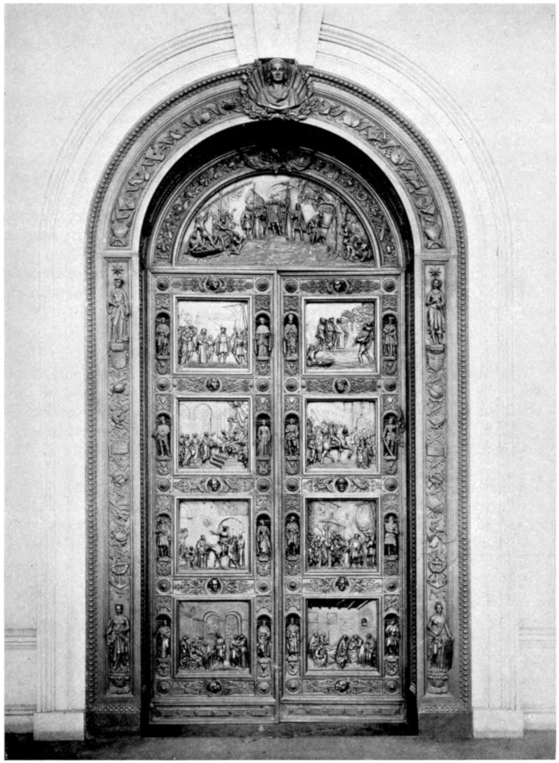
BRONZE DOORS AT MAIN ENTRANCE TO THE CAPITOL, BY ROGERS
Each of the doors is separated into four panels, portraying scenes in alto-relief
from life of Columbus.
The lowest panel on the left-hand door pictures Columbus before the Council
of Salamanca. Then follows his departure from the Convent of La Rabida for
the Spanish Court. The next is the audience before Ferdinand and Isabella, and
the last the sailing from Palos on the first voyage.
The top panel on the right-hand door represents the first encounter with the
Indians. The next the triumphal entry into Barcelona. Then follows Columbus
in chains, and the last depicts the death of the discoverer.
The borders of the separate doors each contain eight figures representing
prominent personages of the fifteenth century who played important parts in the
events connected with the discovery of America.
The bronze doors of the Senate wing were designed by Thomas Crawford,
sculptor, though the actual work of executing the plaster models was done by
William H. Rinehart. They represent Crawford’s last work as a sculptor. It
was first contemplated that one of the doors should be cast at the Royal Bavarian
Foundry in Munich and that the other door should be cast in this country. The
death of Thomas Crawford in 1857 and the subsequent occurrence of the Civil
War caused many of the plans to be changed. The doors, the first of that kind in
America, were finally cast in 1868 at Chicopee, Mass., by James T. Ames, and
the expense, $50,000, was far greater than was anticipated at the time when it
was planned to have the work done in this country. They weigh 14,000 pounds.
The sculptor, Rinehart, received about $9,000.
Each of the doors consists of three panels and a medallion picturing events of
the Revolutionary War.
The upper panel of the right-hand door contains a representation of the death
of General Warren at the Battle of Bunker Hill on June 17, 1775; the center
panel shows General Washington rebuking Gen. Charles Lee at the Battle of
Monmouth, N. J., on June 28, 1778; the lower panel pictures the storming of a
redoubt at Yorktown, Va., led by Alexander Hamilton, on October 14, 1781;
the medallion at the bottom represents a conflict between a Hessian soldier and
a New Jersey farmer.
The medallion at the bottom of the left-hand door represents Peace and Agriculture.
Above is a panel showing General Washington passing underneath an
arch of flowers at Trenton, N. J., while on his way to New York City to be
inaugurated as the first President of the United States; the middle panel represents
Washington taking the oath of office as President, which was administered
by Chancellor Livingston on April 30, 1789—the United States Supreme Court
had not as yet been organized, so that the oath could not be administered by the
Chief Justice. The top panel represents President Washington laying the corner
stone of the Capitol on September 18, 1793.
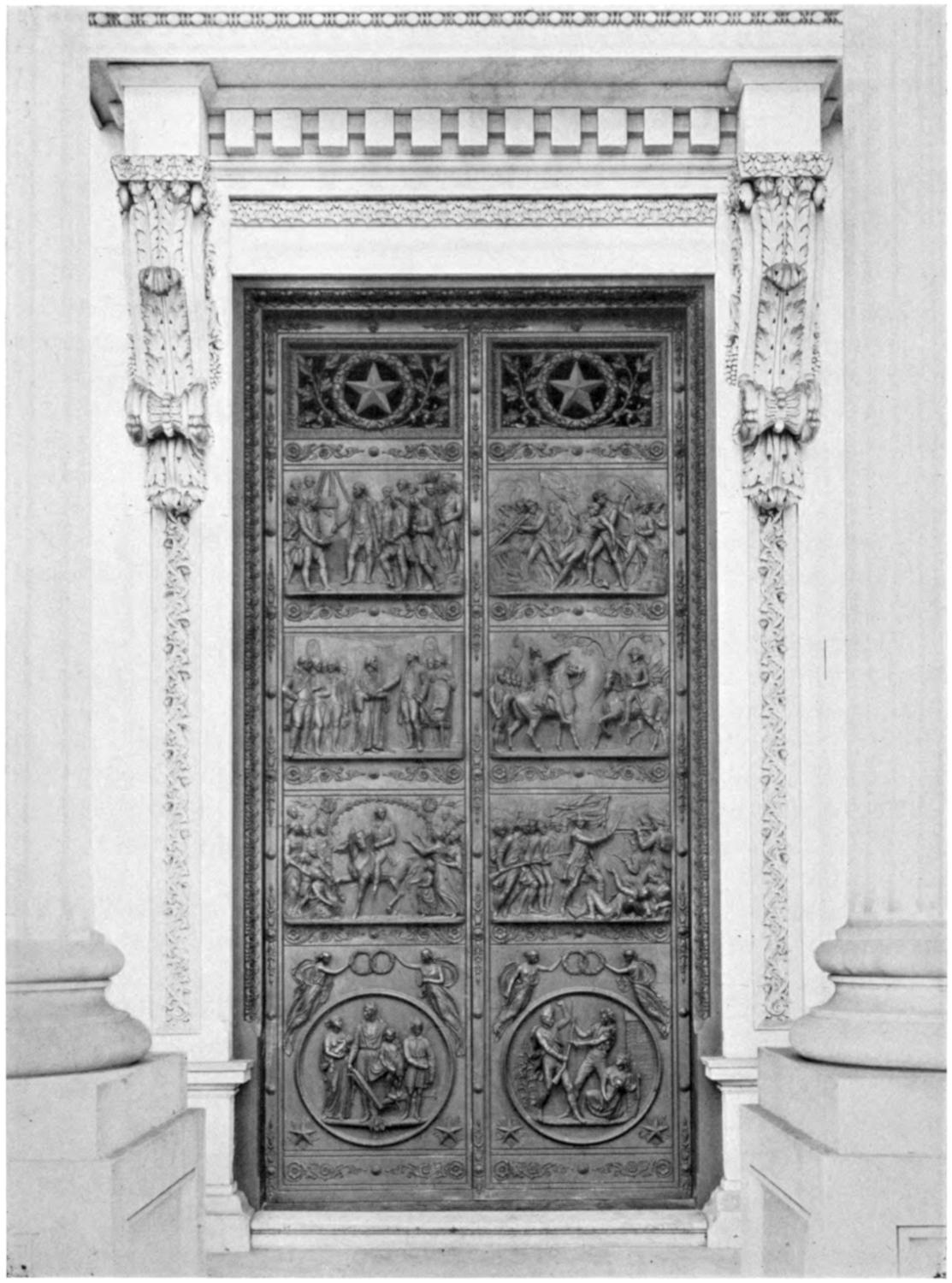
BRONZE DOORS AT THE SENATE WING, BY CRAWFORD
The bronze doors of the House of Representatives resemble in general outline
and arrangement the bronze doors of the Senate. Each door consists of three panels
and a medallion picturing events in American history. The design is that of
Thomas Crawford, sculptor, but the modeling and completion was that of
William H. Rinehart. The models after being transported to this country remained
for a long time in storage and were finally cast by M. H. Mosman, at Chicopee,
Mass., who had succeeded to or continued the business organization of James T.
Ames, by whom the Senate doors were cast.
The doors were installed in the autumn of 1905, the cost to the Government
being $45,000.
The upper panel of the left-hand door portrays the Massacre of Wyoming,
July 17, 1778; the center panel the Battle of Lexington, April 19, 1775; the lower
panel presentation of flag to Gen. William Moultrie for his defense of Sullivans
Island, Charleston Harbor, June 28, 1776; and the medallion at the bottom shows
the death of General Montgomery in the attack on Quebec, December 31, 1775.
The upper panel of the right-hand door depicts the reading of the Declaration
of Independence; the center panel the signing of the Paris treaty of peace
between the United States and Great Britain, September 3, 1783; the lower
panel Washington’s farewell to his officers at New York, December 4, 1783; and
the medallion at the bottom contains a seated figure of Franklin in his study.
Congress is one of the three coordinate branches of the United States Government.
It is the legislative branch and consists of a Senate, to which the Members,
two from each State, are elected for a term of six years; and the House of Representatives,
to which the Members are elected for a term of two years. The
membership is based on the population of the United States, and in January, 1939,
numbered 435 Members. The apportionment is made among the several States in
the ratio that the whole number of persons in each State bears to the total population
of the country. States arrange for their own congressional districts after the
number of Members of the House of Representatives from each State has been
determined upon. There are in the House, also, 2 Territorial Delegates—1 each
from Alaska and Hawaii—and 2 Resident Commissioners—1 from the Commonwealth
of the Philippines and 1 from Puerto Rico. They have the right to
debate but not to vote.
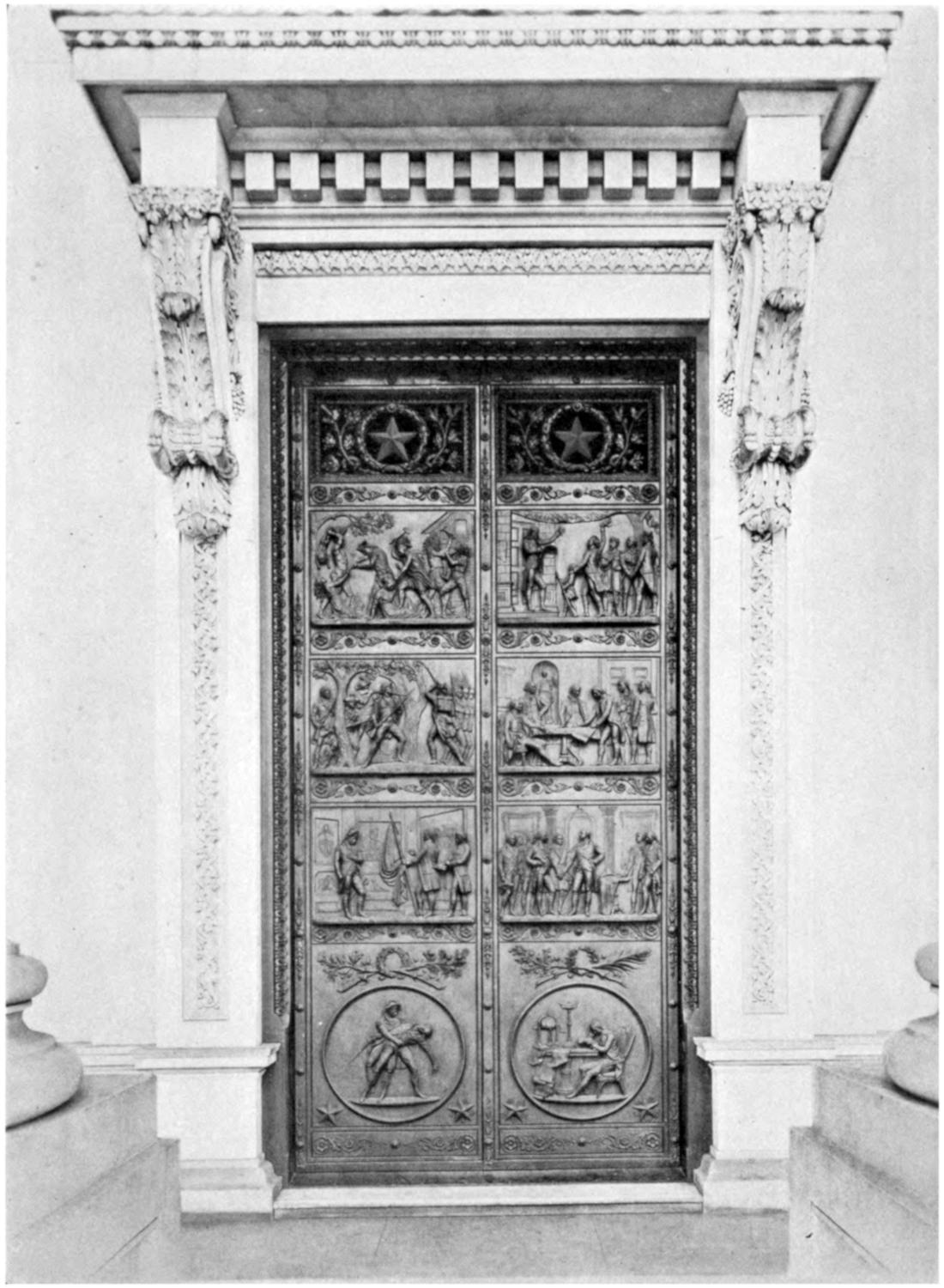
BRONZE DOORS AT THE HOUSE OF REPRESENTATIVES WING, BY CRAWFORD
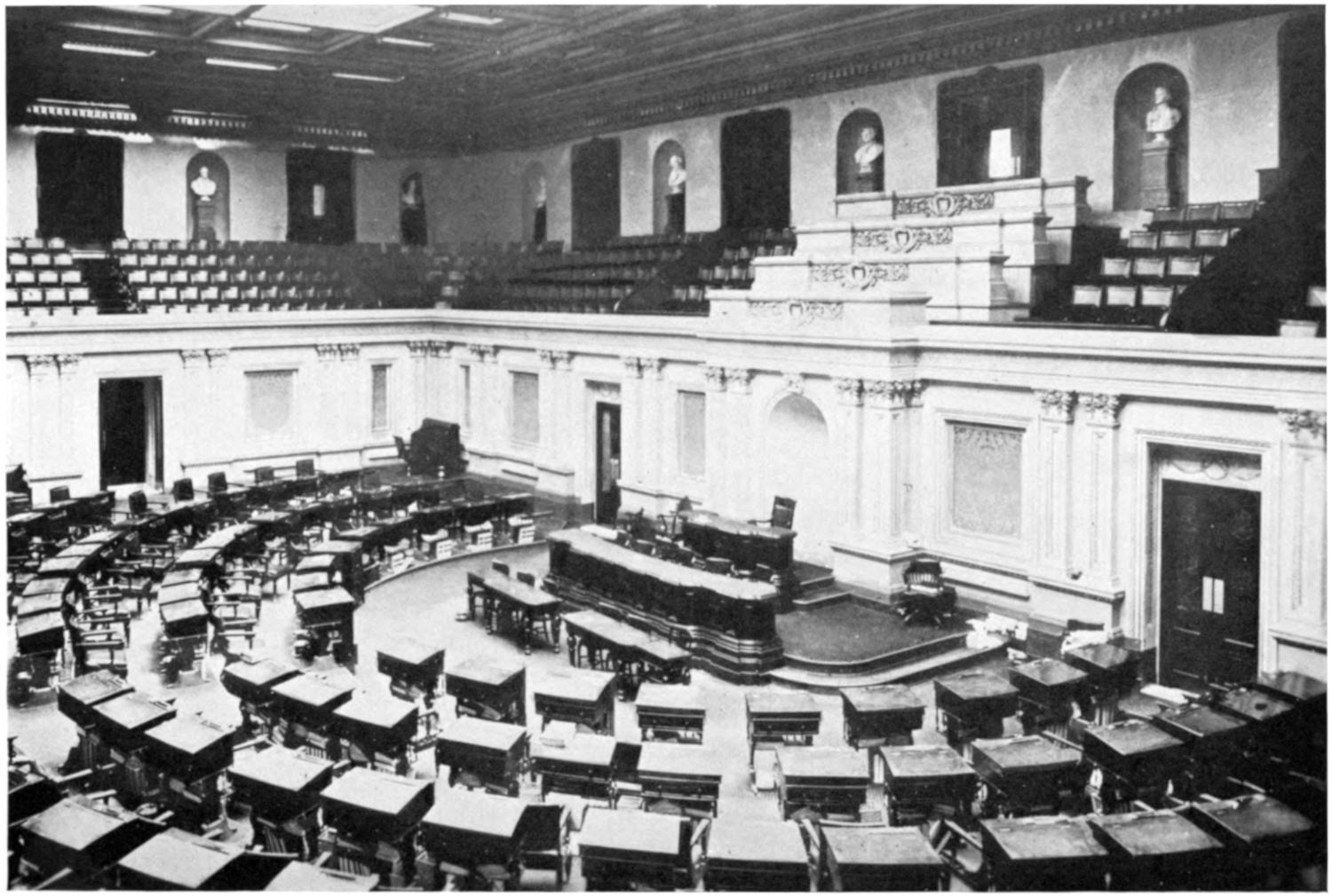
SENATE CHAMBER
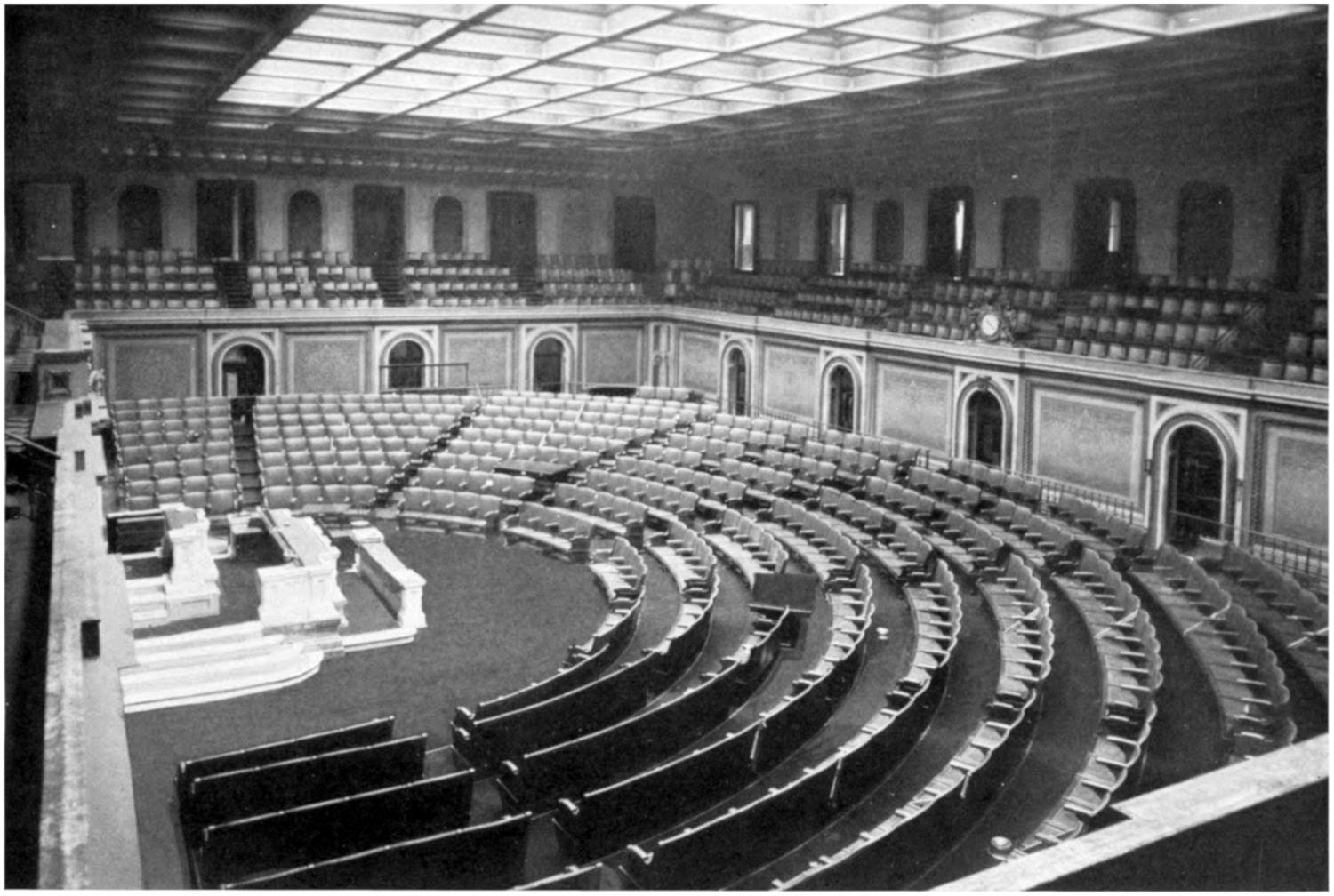
HOUSE OF REPRESENTATIVES CHAMBER
The Constitution provides that Congress shall assemble on January 3 of each
year (20th amendment); and each Congress usually consists of two sessions.
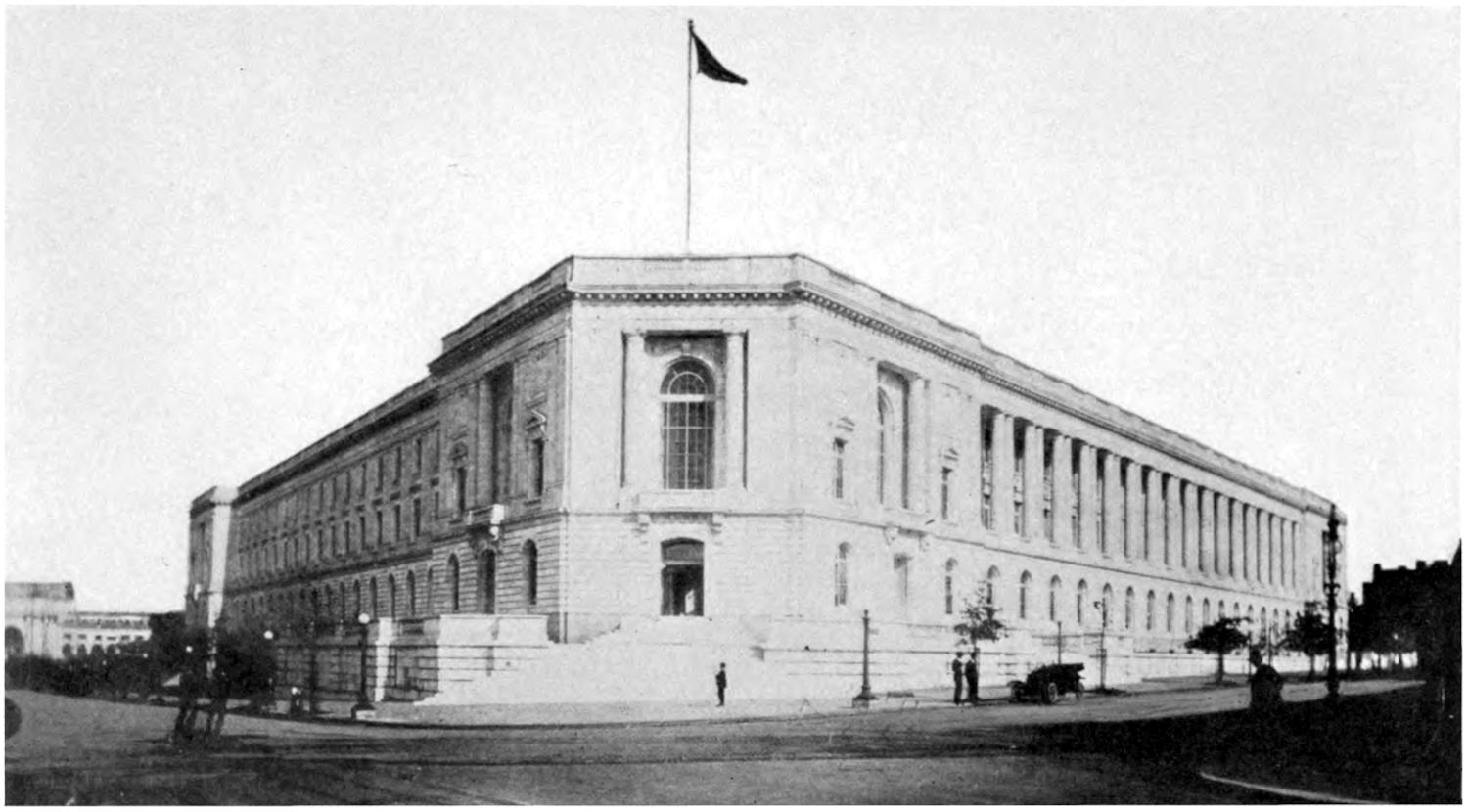
SENATE OFFICE BUILDING
The powers of Congress are set forth in Article I, section 8 of the Constitution,
which is divided into 18 clauses. The power to raise revenue originates in
the House of Representatives, which carries the burden in providing necessary
appropriations; the Senate has the power of confirming or rejecting appointments
made by the President and to ratify treaties. Measures are originated in the
form of bills or resolutions, which are thereupon referred to committees for
report before being introduced in the Senate or House of Representatives.
The age requirement for eligibility as a Member of the House of Representatives
is 25 years, and for the Senate 30 years; each person must have been a citizen
of the United States for seven years and a citizen of the State from which elected.
Members of Congress are by the Constitution granted exemption from arrest
under certain conditions while attending the sessions of their respective Houses
and in going to and returning from such sessions, “and for any speech or debate
in either House, they shall not be questioned in any other place.”
The proceedings and debates in Congress are published in the Congressional
Record, which is printed daily at the Government Printing Office with such
rapidity that even though a session of Congress may continue until late in the
night a copy of the Record is at hand for each Member the following morning.
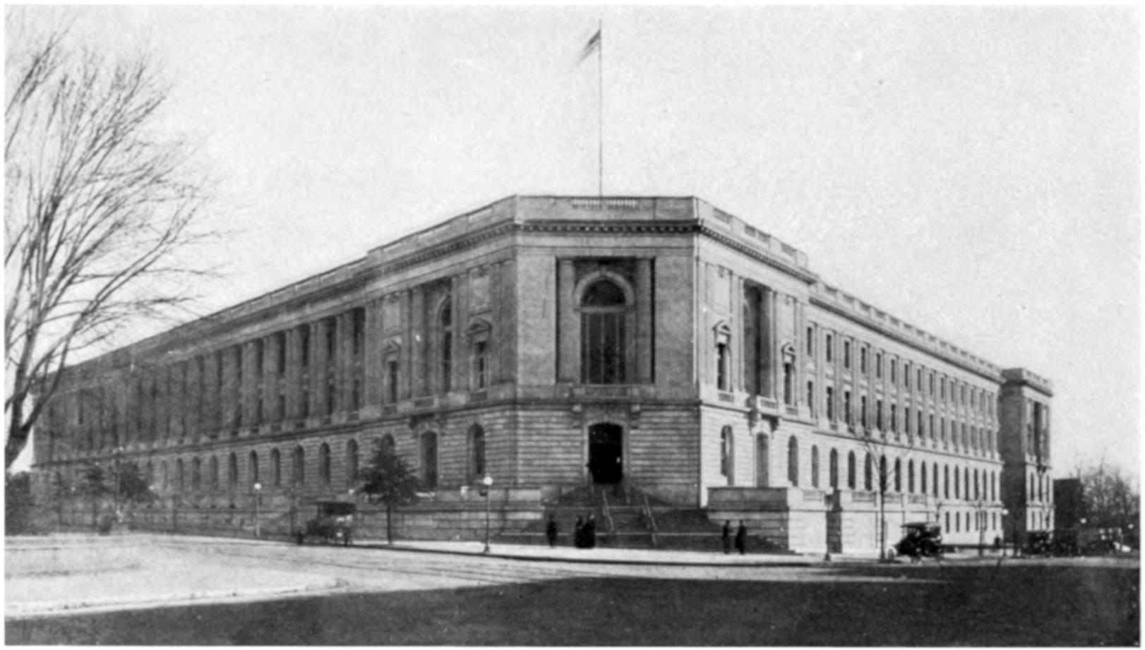
OLD HOUSE OF REPRESENTATIVES OFFICE BUILDING
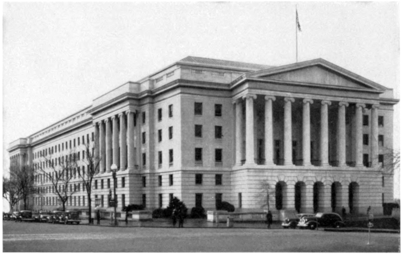
NEW HOUSE OF REPRESENTATIVES OFFICE BUILDING
A bill or resolution, to become a law, must be passed by both the House of
Representatives and the Senate and approved by the President. If there are
points of disagreement in the Senate or House of Representatives in the enactment
of legislation, each body appoints conferees to settle the points in dispute. The
President has the power to veto a bill, but the measure can become law if reconsidered
and passed by both the Senate and the House of Representatives by a
two-thirds majority. Occasionally the President makes use of the “pocket
veto”; that is, if the bill was passed within 10 days (Sundays excepted) of the
adjournment of Congress, the President may retain (pocket) the bill, which is
thus killed at the end of the session without the interposition of a direct veto, and
without risking the chances of its passage over the veto. If the President does
not interpose the ordinary veto, a bill becomes law at the expiration of 10 days.
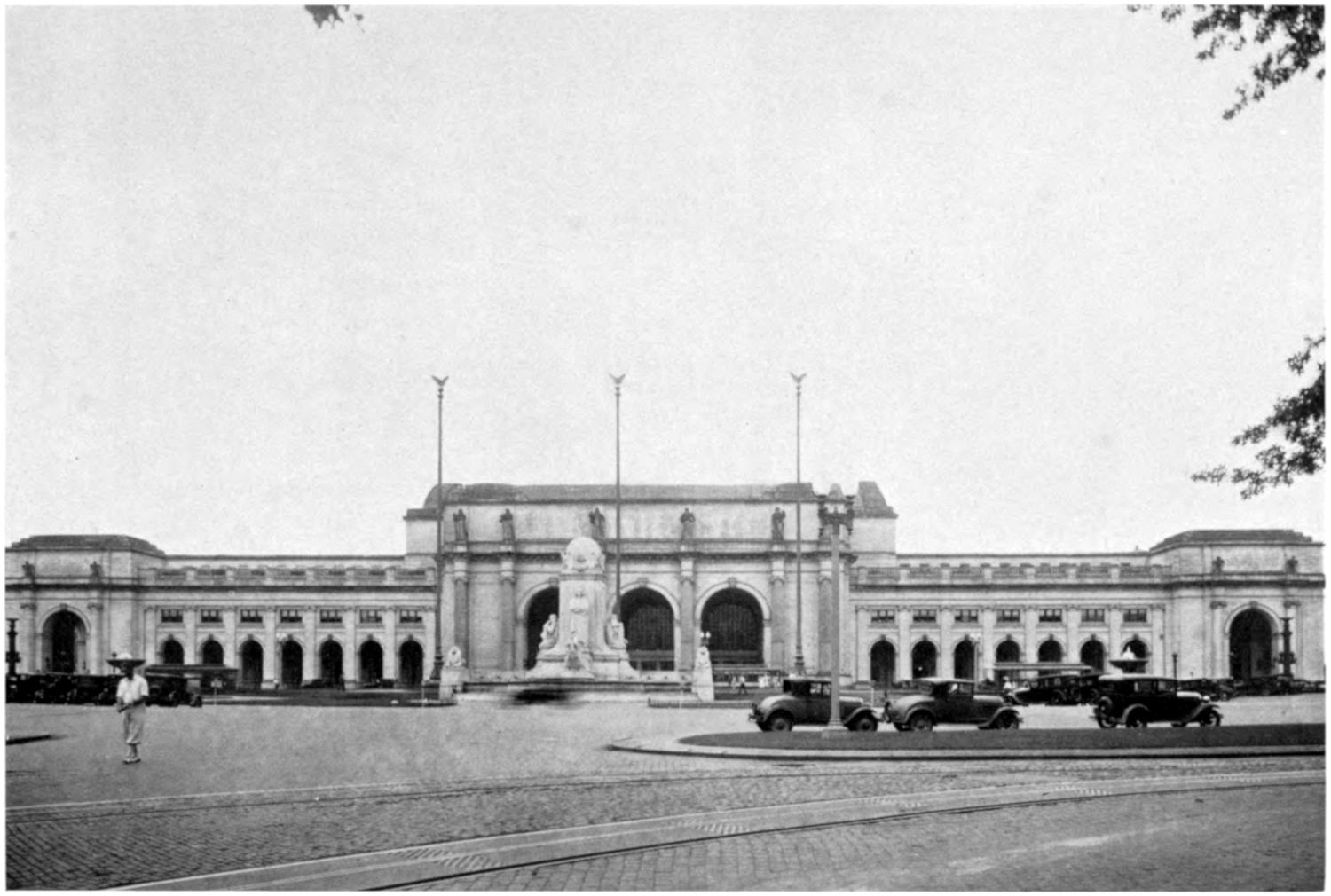
UNION STATION
The President is given authority by the Constitution to convene either or
both Houses of Congress in extraordinary session.
The Senate and House Office Buildings, the former flanking the Capitol to the
north and the latter to the south, were designed by Carrere & Hastings, architects,
and are in the classical style of architecture. A new House Office Building,
designed by the Allied Architects, Inc., of Washington, has recently been completed,
and also the East Wing of the Senate Office Building, designed by Wyeth
& Sullivan, architects of Washington. Each Senator is provided with offices
of from two to three rooms, and likewise each Representative, excepting a few
whose offices are in the Capitol.
In the design of the station much thought was given to the architectural
features. Since Greece and Rome have furnished architectural inspiration for so
many of the public buildings of Washington, a freely interpreted classic may be
considered as the recognized architecture of these structures; and as the new
station was to be the monumental gateway to the National Capital, it seemed
fitting that the architectural motives should be drawn from the triumphal arches
of Rome. They inspired Mr. Burnham to design the Union Station as he did.
Construction work was begun in August, 1902, the terminal opened October
27, 1907, and was completed in April, 1908.
Some of the elements entering into the design of the terminal were unique.
In most cities the probable future growth and nature of the traffic plays an important
part in the planning of a passenger terminal. Washington has very little
suburban traffic; and as it will never become a commercial center, the question
of providing for future growth was of minor importance. The main problem was
how to care for and provide against abnormal conditions, which arise at least once
every four years. The handling of inauguration crowds had always been a heavy
expense to the railroads, because they had to provide such elaborate temporary
facilities. On the other hand, to provide adequate permanent facilities meant
a large expenditure, with the attendant heavy carrying charges. On account
of the dilapidated condition of the passenger facilities owned by the companies,
and the urgent need of larger and better terminals, a union terminal seemed to
show advantages over the separate stations provided for in the acts of 1901.
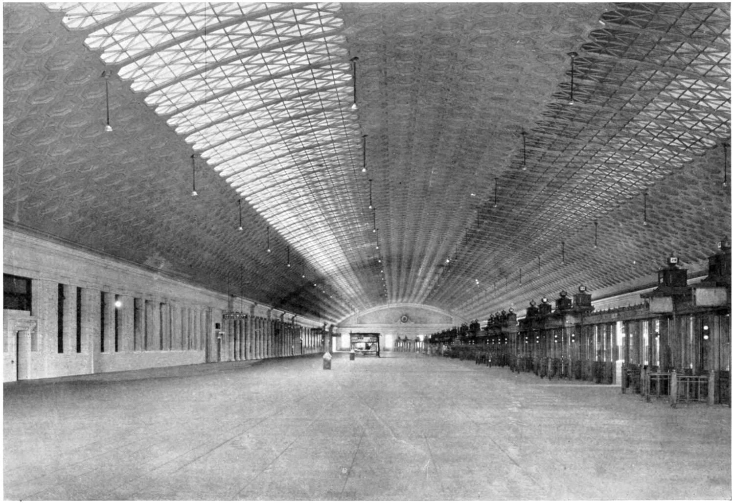
Courtesy of Commercial Photo Co.
UNION STATION—CONCOURSE
The layout embraces every feature and facility involved in the construction
of a first-class terminal, including a depot building planned and constructed after
the most modern lines, and containing every feature for the convenience, comfort,
and pleasure of the traveling public; the most complete and up-to-date
facilities for conducting the business of a large railroad station; a main power
plant for furnishing power of every kind required for the successful operation of
the station and yards; a large and completely equipped express terminal for caring
for the express business handled by the companies; a modern commodious roundhouse
and shop layout for caring for repairs to equipment; the most complete interlocking
layout and intercommunication system ever constructed; one of the
most complete passenger-equipment yards ever built; and a track system covering
yards and main tracks within the passenger-terminal zone aggregating about 60
miles of single track.
The station building proper is 626 feet 10 inches long and 210 feet 9 inches
wide, exclusive of the space taken up by the columns in front of the central
pavilion or main portico. The front and ends are made up of groups of semicircular
arches characteristic of Roman architecture. The main portico or central
pavilion consists of 3 arches, each 29 feet 6 inches wide and 48 feet 9 inches high.
Flanking it on either side are 7 arches, each 12 feet 4 inches wide and 24 feet 8
inches high, while the end pavilions are composed of arches 22 feet wide and 38
feet 6 inches high.
The west end is made up of 5 arches 19 feet 2 inches wide and 37 feet 7 inches
high, and 1 arch 12 feet 4 inches wide and 24 feet 8 inches high. The former are
used as exits for carriages from the carriage porch, the latter to carry out the open
portico treatment across the front. At the east end leading to the open portico
are 2 windows with arch treatment, and there are 5 arches 12 feet 6 inches wide
and 24 feet 8 inches high, 1 arch 22 feet wide and 38 feet 6 inches high, leading
to a carriage pavilion.
The east pavilion leads to a suite of rooms for the use of the President and the
guests of the Nation, the west pavilion to the carriage porch at the west end of
the ticket lobby. The central and end pavilions are connected by a portico or
loggia from 14 feet 6 inches to 16 feet 6 inches wide, the portico and pavilions
forming a continuous covered porch the entire length of the structure, and affording
protection from the elements. The east and west wings of the building are
69 feet 7¹⁄₂ inches above the floor level, and the domes over the carriage entrances
are 78 feet 3¹⁄₂ inches above the same point. The dome over the main waiting room
is 122 feet 10 inches high.
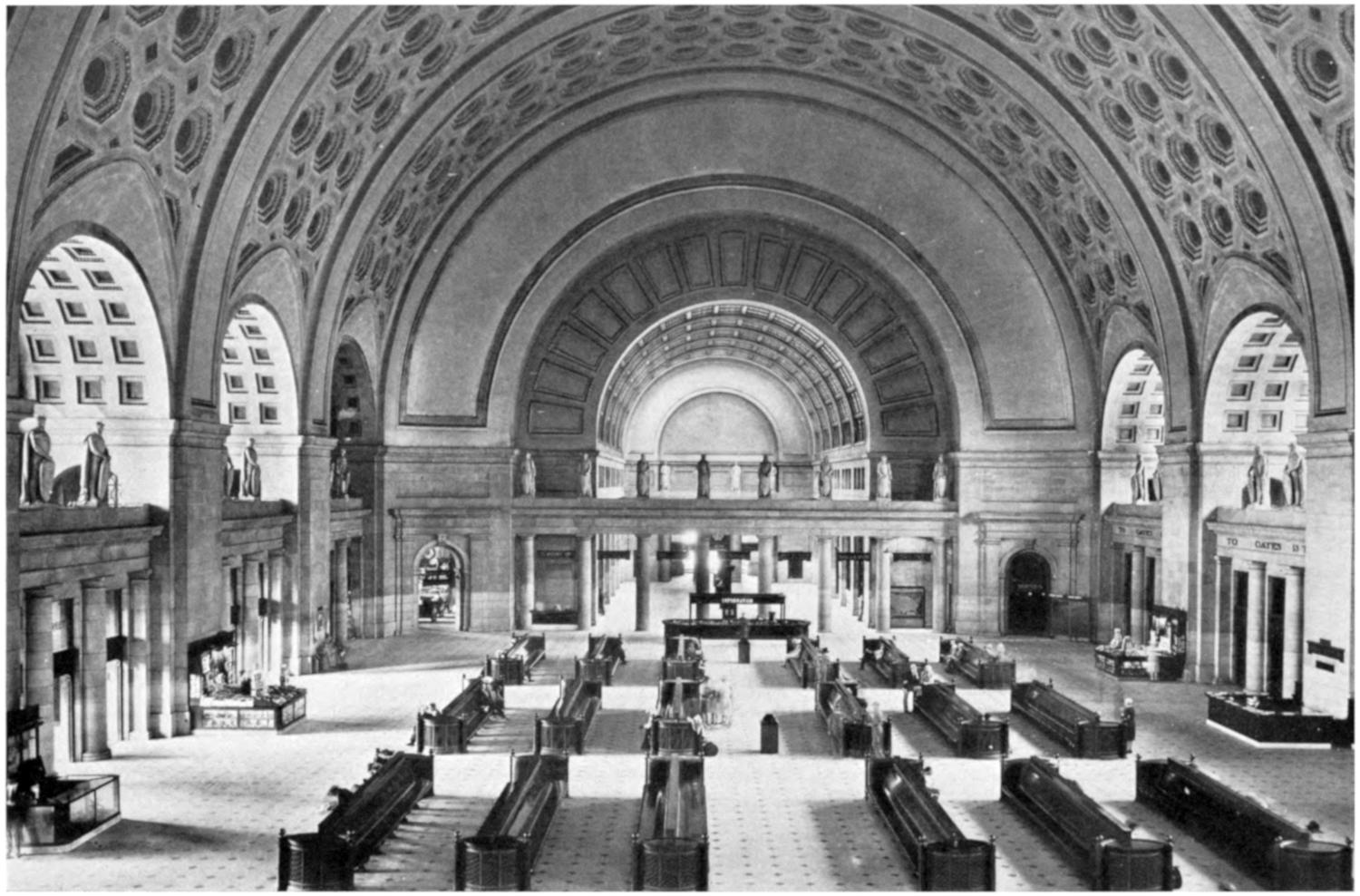
UNION STATION—WAITING ROOM
The concourse in the rear of the main building is 760 feet long and 130 feet
wide, exceeding by nearly nine feet the length of the Capitol. It is covered by a
segmental arched ceiling 45 feet high in the center and 22 feet at the springing
line above the main floor. About 40 per cent of the ceiling area is of glass, the
remainder is artistically coffered ornamental plaster. The concourse is divided by
the usual train fence into two sections, that on the station side being 83 feet and
that on the track side 47 feet wide.
There are 32 tracks leading to the station—20 on the level of the waiting
rooms and 12 depressed below the street level a distance of 20 feet. Two tubes
of the Pennsylvania Railroad Co. and Southern Railway Co., each 16 feet wide,
run from the station south along First Street between the Library of Congress
and the Capitol for about a mile. At the Fountain of Neptune the tunnel is 40
feet below the surface. Approximately 285 trains enter and leave the railway
station each day; the daily number of passengers is approximately 30,000.
The general waiting room has a clear width of 120 feet, is 219 feet long, exclusive
of the colonnades, and is covered by a Roman barrel-vaulted ceiling, its
highest point, exclusive of coffers, being 96 feet above the floor level. The
decorations are sunken panels patterned after the baths of Diocletian. It is
lighted by a semicircular window 72¹⁄₂ feet in diameter at the east end, by three
semicircular windows in the south side and five on the north side, each 27¹⁄₂ feet in
diameter, and by the glass roof over the ticket lobby at the west end. Imperial
Rome at her greatest did not possess a hall of such proportions.
The Union Station is built of Vermont white granite. In the construction of
this massive building Mr. Burnham set a standard for civic improvement for the
construction of railroad terminals in this country.
The complete architectural treatment of the front elevation of the station
includes six stone statues and four eagles, the former over the central pavilion,
and the latter over the carriage entrances at the east and west ends. This statuary
is placed in front of the great friezes over the main entrance arches and over
the carriage archways and, with the inscriptions in the panels between, have
been made a special architectural feature.
Before the adoption of the scheme a number of suggestions for the subjects of
the statues and inscriptions were secured, ranging from the explorers and discoverers
of this country to the various inventors who have had most to do with
the development of transportation. The general architectural treatment of the
building, however, was such as to preclude the usual portrait statues. To make
them take their place as part of the architecture required that they be limited to
allegorical draped figures, forming simple, massive silhouettes against the vast
frieze. In the development of the complete scheme, embracing the subjects for
the statuary, with appropriate inscriptions in the intervening panels, the late
Charles W. Eliot, former president of Harvard University, was consulted. The
result is an appropriate and adequate treatment of the decorative frieze over the
doorway of the vestibule to the Capital of the Nation.
The general decorative features of the main entrance to the building consist of
six massive stone columns, two on each side and one in front of each pier supporting
the main arches. Upon pedestals on the tops of these columns the granite
statues, about 18 feet high, are placed, those on the west side of the entrance
representing Prometheus and Thales, typifying Fire and Electricity, those on the
east side Ceres and Archimedes, typifying Agriculture and Mechanics, while
Freedom and Imagination are depicted by the central figures. Those on the west
side represent two of the great forces connected with the operation of railroads,
while those on the east owe much of their development and wealth to the railroads.
The central figures typify the atmosphere of freedom in which the inventive
imagination has been able to accomplish such great results. The columns
flanking the carriage entrances are surmounted by stone eagles about 8 feet high.
The following inscriptions are cut in the granite panels over the main entrance:
West (Prometheus and Thales)
FIRE—GREATEST OF DISCOVERIES
ENABLING MAN TO LIVE IN VARIOUS CLIMATES
USE MANY FOODS—AND COMPEL
THE FORCES OF NATURE TO DO HIS WORK
ELECTRICITY—CARRIER OF LIGHT AND POWER
DEVOURER OF TIME AND SPACE—BEARER
OF HUMAN SPEECH OVER LAND AND SEA
GREAT SERVANT OF MAN—ITSELF UNKNOWN
THOU HAST PUT ALL THINGS UNDER HIS FEET
Central (Freedom and Imagination)
SWEETENER OF HUT AND OF HALL
BRINGER OF LIFE OUT OF NAUGHT
FREEDOM O FAIREST OF ALL
THE DAUGHTERS OF TIME AND THOUGHT
MAN’S IMAGINATION HAS CONCEIVED ALL
NUMBERS AND LETTERS—ALL TOOLS, VESSELS
AND SHELTERS—EVERY ART AND TRADE—ALL
PHILOSOPHY AND POETRY—AND ALL POLITIES
THE TRUTH SHALL MAKE YOU FREE
East (Ceres and Archimedes)
THE FARM—BEST HOME OF THE FAMILY—MAIN
SOURCE OF NATIONAL WEALTH—FOUNDATION OF
CIVILIZED SOCIETY—THE NATURAL PROVIDENCE
THE OLD MECHANIC ARTS—CONTROLLING NEW
FORCES—BUILD NEW HIGHWAYS FOR GOODS
AND MEN—OVERRIDE THE OCEAN—AND MAKE
THE VERY ETHER CARRY HUMAN THOUGHT
THE DESERT SHALL REJOICE AND BLOSSOM
AS THE ROSE
In the panels over the entrances to the carriage porch and state apartment
the following inscriptions are cut:
Carriage Porch (south elevation)
HE THAT WOULD BRING HOME THE
WEALTH OF THE INDIES MUST CARRY
THE WEALTH OF THE INDIES WITH HIM
SO IT IS IN TRAVELLING—A MAN
MUST CARRY KNOWLEDGE WITH HIM
IF HE WOULD BRING HOME KNOWLEDGE
State Apartment (south elevation)
LET ALL THE ENDS THOU AIMEST AT BE
THY COUNTRY’S, THY GOD’S, AND TRUTH’S,
BE NOBLE, AND THE NOBLENESS THAT
LIES IN OTHER MEN—SLEEPING BUT
NEVER DEAD—WILL RISE IN MAJESTY
TO MEET THINE OWN
State Apartment (east elevation)
WELCOME THE COMING
SPEED THE PARTING GUEST
VIRTUE ALONE IS SWEET SOCIETY
IT KEEPS THE KEY TO ALL
HEROIC HEARTS AND OPENS YOU
A WELCOME IN THEM ALL
The decorations immediately in front of and along the sides of the east and
west entrances consist of stone balustrades upon which at proper intervals are
ornamental lamp posts.
Immediately in front of the main entrance to the Union Station there are
three ornamental iron flagstaffs 110 feet in height, the ornamental base and
decorative portions of which are in bronze. These were designed by D. H.
Burnham & Co., architects of the Union Station.
Since the completion of the Union Station in 1908 there have also been placed
on the Plaza the Columbus Memorial Fountain in front of the main entrance, and
two large fountains, one on each side of the memorial.
All stone used in the decoration of the Plaza, except that in the bowls of
the fountains, is Vermont white granite, from the same quarry as that used in
the station building. The fountain bowls are of Maine green granite. The
upper bowls are 13 feet in diameter and cut from a single piece of stone; the
lower bowls are 22 feet 6 inches in diameter, the rims being made from eight
separate pieces of granite. The bottoms of these bowls are of reinforced concrete
and are lined with sheet lead.
The Washington City Post Office moved into its present quarters on September
5, 1914. The building faces on Massachusetts Avenue and extends from North
Capitol Street to First Street NE.
At the time of occupancy it was considered the model post office for the rest
of the country, being provided with the most modern mail-handling equipment
that human ingenuity could devise. There are conveyor belts through a tunnel
under the streets for bringing the enormous amount of Government mail from the
Government Printing Office directly into the post office, where it is made up for
dispatch to trains; other belts for conveying mail from one section of the office
to another; bucket lifts for raising mail from a lower to a higher floor; gravity
chutes to send mail from an upper to a lower level; miniature trolley systems to
carry smaller amounts of mail, or even single important letters, from one section
of the workroom floor to another; and other devices to save footsteps of the
employees and conserve their time.
The building is three stories above the ground level and two stories below.
The two upper floors and one of the lower ones are given over to Post Office
Department activities, such as the Postal Savings Division, the Division of
Stamps, the Division of Equipment and Supplies, and others. The building is so
constructed that the maximum of natural daylight is permitted to enter. It has
no heating plant of its own, being supplied with heat from the plant located at
First and E Streets SE. that supplies the Capitol, Senate and House Office
Buildings, and the Government Printing Office. The necessary pipes are brought
into the building through underground tunnels.
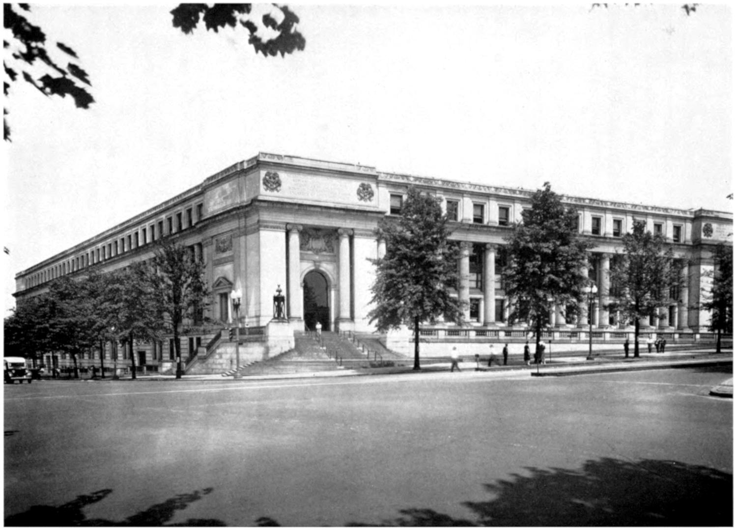
WASHINGTON CITY POST OFFICE
There are approximately 6 acres of floor space available for the Washington
Post Office. This additional space was secured by a new addition. It was
thought at the time the post office moved into its new quarters that the floor space
provided would be ample to take care of all increases in the volume of mail for a
period of 50 years. In a few years the office far outgrew this space, and Congress
appropriated for an addition to the building about equal in size to the original
one. The construction of this addition cost $4,000,000.
The original building cost $3,028,000, and the general style of the architecture
is that of the monumental work of Roman times and was designed by Peirce
Anderson, architect, to harmonize with the Union Station, which adjoins, and
to which it is connected by a covered bridge, over which mail to and from the
trains is trucked.
The main exterior motive consists of an Ionic colonnade flanked by corner
pavilions treated with round arches, inclosed in a strong frame of columns and
pilasters and surmounted by solid attics carrying inscriptions as follows:
MESSENGER OF SYMPATHY AND LOVE
SERVANT OF PARTED FRIENDS
CONSOLER OF THE LONELY
BOND OF THE SCATTERED FAMILY
ENLARGER OF THE COMMON LIFE
CARRIER OF NEWS AND KNOWLEDGE
INSTRUMENT OF TRADE AND INDUSTRY
PROMOTER OF MUTUAL ACQUAINTANCE
OF PEACE AND OF GOOD WILL
AMONG MEN AND NATIONS
Many visitors to Washington will stop and read these inscriptions and, being
interested in the authorship thereof, will make inquiry concerning it. Research
shows that the originals were prepared by Dr. Charles W. Eliot, at that time
president of Harvard University, but that some slight changes were made in the
text by the late President Wilson to the extent of the alteration of some three or
four words. It is this revision that appears on the building.
The material of the exterior of the building is Vermont white granite and is
the same as that used in the construction of the Union Station. The general treatment
of the main lobby, which is 250 feet in length, is that of a high cella, 30 feet
wide and 53 feet high, and surrounded by an order of pilasters in Tavernelle
marble. The adjoining vestibules are ornamented by 24 monolithic columns of
gray-green granite from New Hampshire. These columns are 2 feet and 4 inches
in diameter and 20 feet in height. The floor is of Tennessee marble, laid in patterns
of pinks and grays. The main lobby ceiling has an elaborate coffered design
inspired from the best period of the Italian Renaissance.
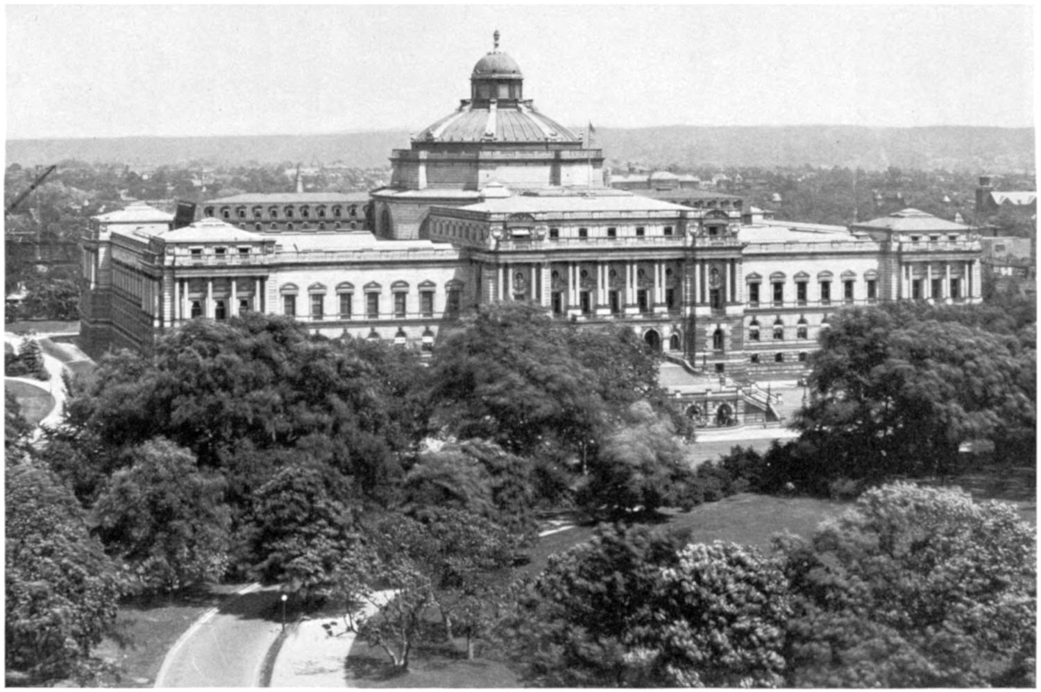
LIBRARY OF CONGRESS
The gross receipts of the Washington Post Office have increased from $1,792,917
in 1914 to nearly $7,000,000 in 1938.
In order to make postal facilities as easily accessible as possible, there are
located throughout the city 31 classified and 41 contract stations.
To properly transport mail from the main office to the various stations, electric-line
terminals, steamboat wharves, and aviation fields, and to make collections
from the street letter boxes and deliver parcel-post packages, the office operates
a fleet of fully 100 Government-owned automobile trucks.
Designed by Graham Anderson, Probst & White and built of white Vermont
granite, the addition was completed in 1937 and it doubled the size of the city
post office.
The Library of Congress, the world’s largest and most elaborate building
devoted wholly to library uses, occupies two city squares east of and facing the
Capitol Grounds, also an addition recently completed.
The architecture is of the Italian Renaissance order, from plans made by J. J.
Smithmeyer and Paul Pelz, and modified by Edward P. Casey. The exterior walls
are of New Hampshire granite. Fifty masters of painting and sculpture worked
together to make it a treasure house of the best contemporary American art, fit
to shelter one of the greatest libraries of the world. Army engineers superintended
its construction.
Begun in 1886, completed in 1897, the building measures 340 feet by 470 feet
and covers about 3¹⁄₂ acres. Its cost to date has been $7,868,951. The addition
was designed by Pierson & Wilson, architects of Washington, and built of
Georgia marble.
In front of the Library is a bronze fountain by Hinton Perry, sculptor, representing
the Court of Neptune.
The grand stair hall of the entrance pavilion is of Italian white marble, is
particularly beautiful at night, when visitors delight to see it. It leads to the
great rotunda, which is the reading room. To the right are the library rooms of
Senators and Representatives and the periodical room. To the left are the rooms
for the blind and the conservatory of music.
On the second floor at the head of the staircase is Elihu Vedder’s famous
mosaic, Minerva. On this floor also are on exhibition the original Declaration of
Independence, the original Constitution of the United States, and the Gutenberg
Bible. To the right is the prints division, now called the division of fine arts, and
to the left the manuscripts division.
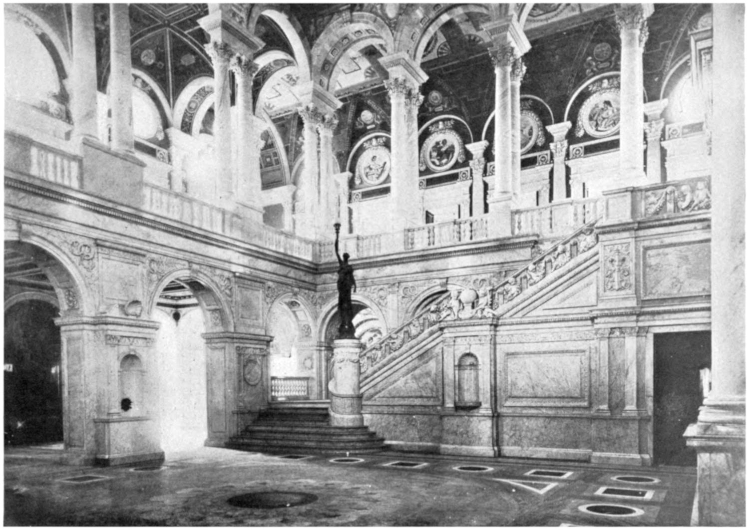
LIBRARY OF CONGRESS—GRAND STAIRCASE
The reading room contains the card-index catalogue of the books in the Library,
will accommodate 1,000 readers at a time, and is free to any reader over 16 years
of age. The alcoves are devoted to books on particular subjects.
The reading room is under the dome, which is 100 feet in diameter and 195
feet high to the lantern. In the lantern of the dome is a female figure indicating
Human Understanding, and on the collar surrounding the lantern, 150 feet in
circumference, is the Evolution of Civilization, symbolic of the 12 nations and
epochs which have contributed to the world’s advance—both great works of art
by Edwin Howland Blashfield. The dome is beautifully decorated, and the series
of statues in bronze by famous American sculptors at intervals on the balustrade
encircling the rotunda make the scene impressive.
The pillars in the rotunda are 40 feet high, the windows 32 feet wide.
There are 16 bronze statues surrounding the railing of the gallery under the
dome, representing leaders in great fields of learning, as follows:
Religion: Moses the great lawgiver, holding the Tables of the Law, given at Mount Sinai,
by Charles Henry Niehaus; St. Paul, with sword and scroll, by John Donoghue.
Commerce: Christopher Columbus, by Paul Bartlett; Robert Fulton, holding a model of his
first steamboat, Clermont, by Lewis Potter.
History: Herodotus, the “Father of History,” by Daniel Chester French; Edward Gibbon,
author of the Decline and Fall of the Roman Empire, by C. H. Niehaus.
Art: Michelangelo, by Paul Bartlett; Beethoven, by Theodor Bauer.
Philosophy: Plato, by John J. Boyle; Francis Bacon, by John J. Boyle.
Poetry: Homer, by Augustus Saint-Gaudens; Shakespeare, by Frederick W. MacMonnies.
Law: Solon, by F. Wellington Ruckstuhl; James Kent, by George E. Bissell.
Science: Newton, by Cyrus E. Dallin; Joseph Henry, by Herbert Adams.
Numerous paintings, mosaics, and inscriptions adorn the interior walls. The
dark Tennessee, the red Numidia, and the shades of yellow Sienna marble give
the room a rich color effect.
When the collection of a million books was moved from the crowded Capitol
it was believed that the increase for the next hundred years had been amply provided
for; but before 15 years had passed it had been found necessary to roof over
one of the four great open courts (more than a quarter of an acre in extent) and fill
it with a 10-story steel bookstack to hold 1,500,000 volumes. By 1927 another
court had been filled with a 14-story stack. Two years later four levels were
added to the first of these court stacks, making the two equal.
To meet the great increase in the future, Congress appropriated for the purchase
of a square and a half of land to the eastward and the construction of an
annex building costing $9,300,000. To the annex will be transferred the copyright
office, card division, printery, and bindery, but leaving room in it for eight or ten
million volumes of less active material, such, for example, as the 97,000 volumes
of bound newspapers. There are 20 acres of floor space in the new building.
The Library’s resources for research are unsurpassed in the Western Hemisphere;
its service as a national library is unexcelled. The printed book collection
on June 30, 1938, totaled 5,591,000, surpassed in numbers only by that of the
Bibliothèque National in Paris, and increasing at a greater rate than those in any
other library. Last year 196,000 volumes were added.
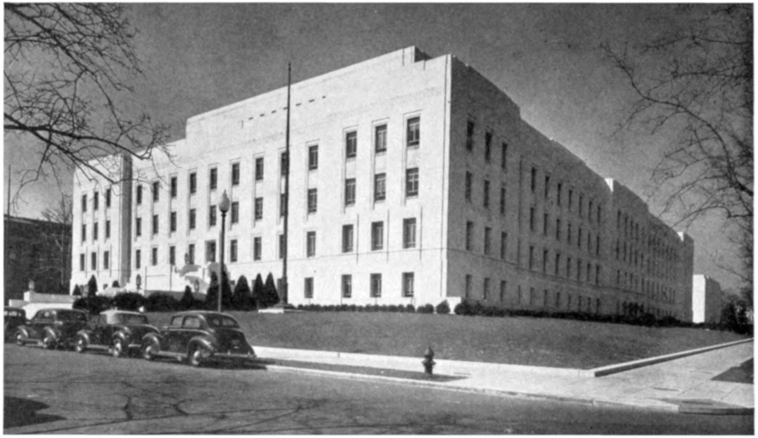
LIBRARY OF CONGRESS ADDITION
Founded in 1800 by an act appropriating $5,000 for the purchase of “books
for the use of both Houses of Congress,” the Library continued, down to the
midpoint of its 139 years of history, to be no more than its name implies—a
collection for the use of the National Legislature. By 1865 the Library had
attained a growth of 82,000 volumes, which was notable among American libraries
neither in size nor in service rendered.
The collections include the library of Thomas Jefferson (6,760 volumes, the
nucleus of the present collections, purchased for $23,950 in 1815), the Peter
Force and the Toner collections of American history, the Smithsonian Institution’s
unequaled collection of the proceedings of learned societies of the world,
the Yudin collection of Russian books (with later additions probably the largest
outside of Russia), the collection of John Boyd Thacher (fifteenth-century books,
and books on the French Revolution, early Americana, autographs of European
notables), the Schiff-Deinard collection of Hebrew literature, and 130,000
Chinese books, understood to be one of the largest and best-organized collections
outside the Orient. Most notable among recent accessions is the Vollbehr collection
of 3,000 fifteenth-century books (incunabula), for whose purchase Congress
appropriated $1,500,000 in July, 1930. The gem of this group is the
Gutenberg Bible, one of the three extant perfect copies on vellum of the first
great book printed in Europe from movable type (A. D. 1450-1455).
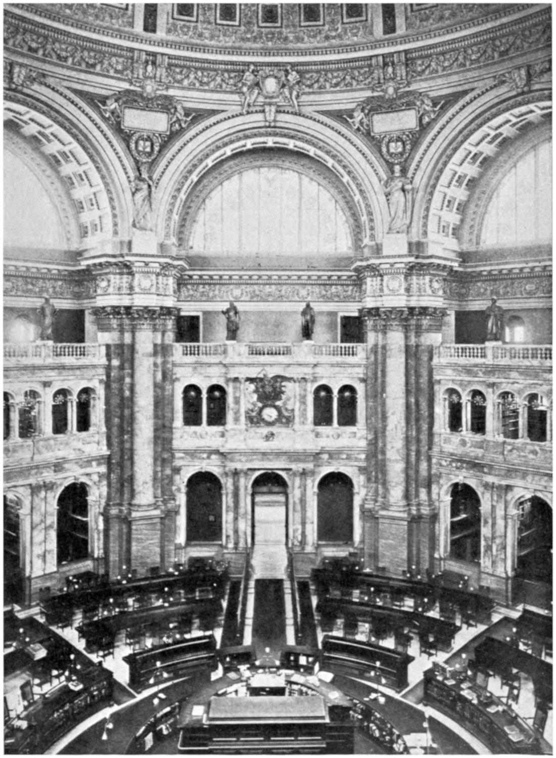
LIBRARY OF CONGRESS—READING ROOM
Manuscripts relating chiefly to American history are among the Library’s
greatest treasures. The reproducing by photography of manuscript materials for
American history in foreign archives and libraries, which since 1927 has formed
so significant a portion of the division’s work, has added more than 2,000,000 pages
to the resources which students of that history can use in Washington without
going to Europe.
Chief among originals beyond all price are the Declaration of Independence,
the Constitution of the United States—both added in 1921—the personal papers
of President Washington, many Presidents, and other statesmen.
The Library is rich in music. This collection numbers over 1,194,000 pieces
and volumes, surpassed only in two or three European libraries. An auditorium
of 500 seats, given and richly endowed by Mrs. Elizabeth Sprague Coolidge,
provides free concerts and lectures.
Other notable groups are 1,400,000 maps and views; 542,000 engravings and
other pictorial reproductions, including the splendid Pennell collections; the law
library (404,000 volumes). The social and political sciences are represented by
890,500 volumes, language and literature by 350,000, history by 420,000, and pure
science by 265,500.
The most recent important development in service is the division of aeronautics,
established through a benefaction of $140,000 from the Daniel Guggenheim Fund
for Aeronautics, now supplemented by an annual congressional appropriation.
Special facilities for serious research include some 50 individual study rooms
and (elsewhere) 125 special desks or tables. Interlibrary loans for investigators
whose work is likely to advance the boundaries of knowledge are sent far and wide
through the United States and some abroad.
There is a service for blind readers which last year loaned 42,000 volumes in
embossed type to some 3,000 readers in the United States.
Printed catalogue cards, numbering 110,000,000, prepared by the Library for
its own catalogues, are sold at cost to some 6,300 other libraries, effecting for the
subscribers prodigious savings in their cataloguing bills but yielding a revenue to
the Treasury of $328,405.
Until very recently Congress alone provided the funds to meet all the
Library’s expenses, excepting one gift of $20,000 received in 1904. But in 1925
the Library of Congress Trust Fund Board was created by Congress, the Secretary
of the Treasury and the Librarian of Congress being ex officio chairman and
secretary of the board, respectively. The act authorized the board to receive and
invest funds for permanent endowments, and the Librarian to receive gifts of
money for immediate disbursement. Already endowments aggregating about
$2,000,000 and gift funds of $1,415,000 for immediate expenditure have been
received and have yielded an income from 1925 to 1938 of $726,000. These new
resources add to the bibliographic apparatus and support a project for developing
an archive of American folk song. One endowment yields $4,000 per year for the
purchase of recent Hispanic literature and employs a consultant to suggest items
for purchase in this particular field.
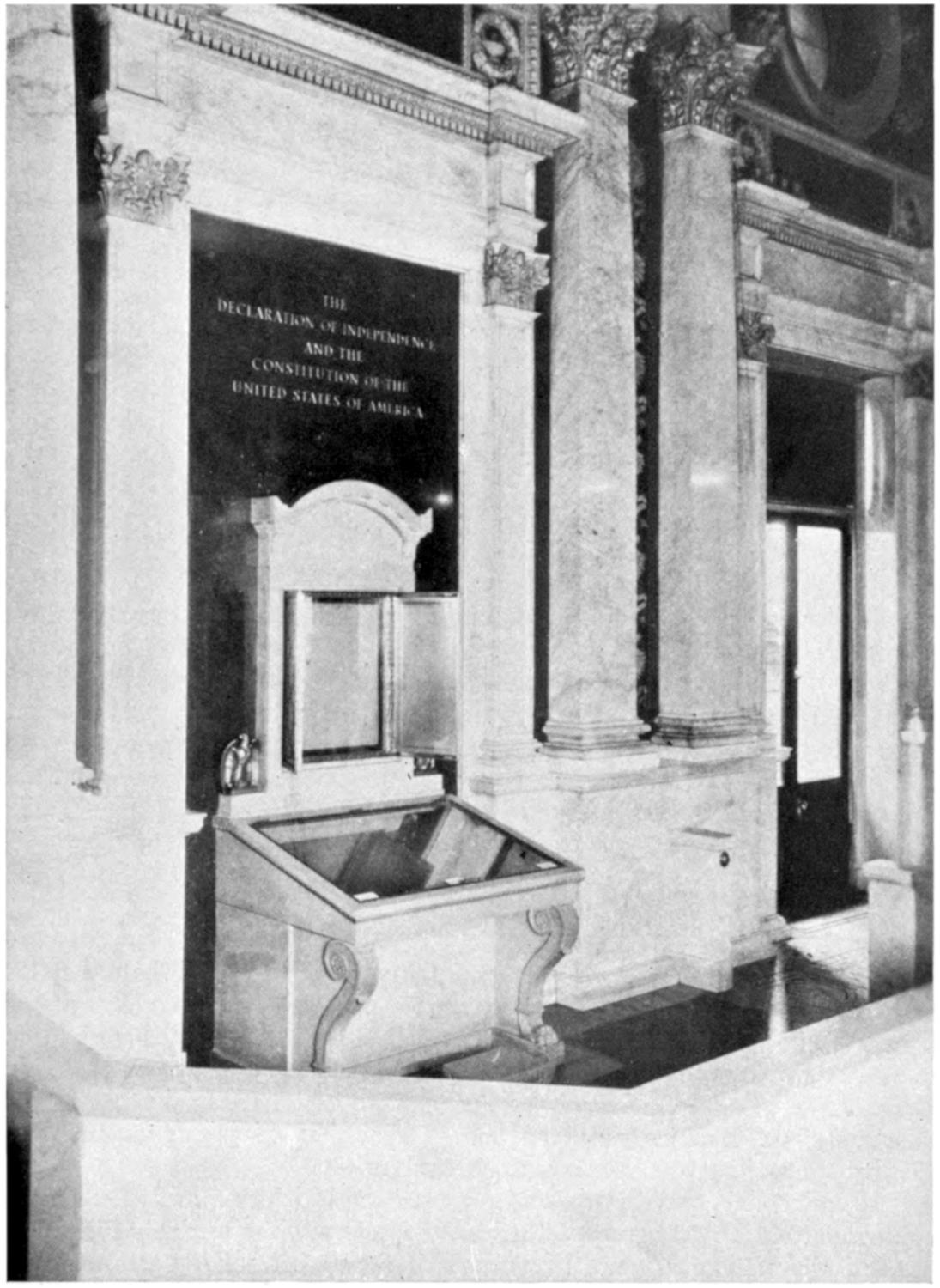
THE DECLARATION OF INDEPENDENCE AND THE CONSTITUTION
Six consultants, men of professional rank and experience, are engaged (without
any administrative duties) in advising the maturer users of the Library in their
investigations. This unique service is to be found nowhere else in libraries.
Notable among gifts are those of John D. Rockefeller, jr.—one of $450,000 for
the acquisition in facsimile copies of source material for American history existing
in the archives of foreign countries, and another of $250,000 for the development
of a great union catalogue of important books in other American libraries.
The scheme of classification, covering 5,000 printed pages, has been adopted
in 80 large libraries in America and Europe.
Herbert Putnam, the Librarian, took office on April 5, 1899.
The Library staff, organized in 30 divisions, consists of 1,055 persons, of whom
585 are doing library work proper; 136 handle the copyright business, which
since 1870 has been under direction of the Librarian; 204 constitute the building
force, which guards the building day and night, keeps it in beautiful order,
attends to heating, lighting, and ventilating the 15 acres of floor space, vacuum
cleans—the year round—the 162 miles of books, and looks after the countless
other mechanical matters. The remainder (111 persons) are printers and bookbinders
engaged on Library work, but under the Public Printer’s direction; 19
are engaged on special projects.
When Henry C. Folger, of New York City, decided to build the library his
first thought was to have this monument to the glory of Shakespeare designed in
harmony with the architecture of Shakespeare’s time. However, the library being
in Washington, very near the Capitol, the House of Representatives and Senate
Office Buildings, and the Library of Congress (to which group was added the
Supreme Court Building), made it appear somewhat dangerous to introduce
Elizabethan architecture in such a classical frame.
After a conference with Dr. Paul Cret, architect, and Alexander B. Trowbridge,
consultant, Mr. Folger agreed with this view, and a white marble structure of
classic design was agreed upon. However, if the façades of a building are part of the
scenery, once the door is passed, it is quite legitimate to harmonize
the interiors
with the collections therein displayed. It was with this end in view that the
general plan was studied and adopted.
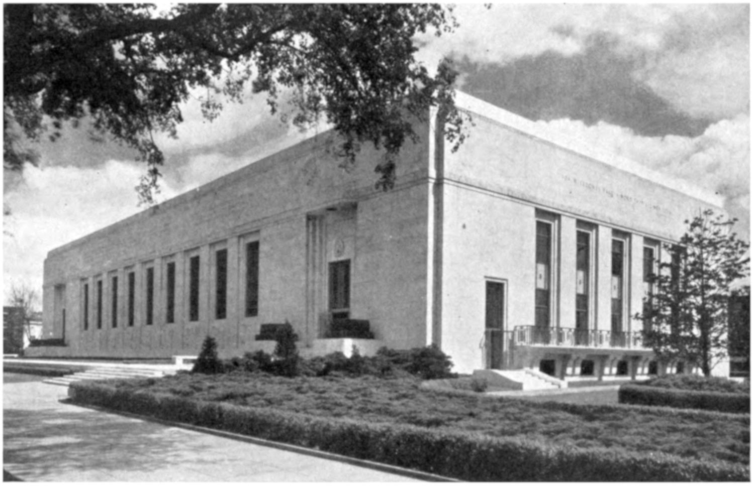
FOLGER SHAKESPEARE LIBRARY
The requirements of the donor necessitated a reading room as free as possible
from disturbance, and to find, for the benefit of the public, a room where
could be displayed some selected material—books, prints, costumes, paintings,
and works of art relating to Shakespeare. An exhibition room and theater were
laid out to form a somewhat separated unit. The location of this reading room
on the courtyard side away from the street noise is also more favorable to study.
Below the reading room are two stories of stacks fully lighted by the courtyard.
The exhibition hall and the reading room form the center of the plan. The east
wing is occupied by the lecture room-theater, which has its own lobby, and can be
used at night independently of the rest of the building. The retiring rooms and
dressing rooms are in the basement, and stairs lead to the balcony.
The west wing is occupied by the administration. On the main floor are the
founder’s rooms and the offices of the director, his assistants, and clerks. On
the second floor are the library staff workrooms and five private study rooms for
scholars.
The over-all size of the building is 226 feet by 111 feet. It rises to a height of
48 feet on a property 364 feet by 186 feet. Work was started in November 1929.
The façades were to harmonize in masses and material with classic Washington.
A quiet modern Georgia marble façade, with silver grilles and balconies, was
designed, using, as principal decoration, a set of nine bas-reliefs illustrating
Shakespeare’s plays and some inscriptions emphasizing its purpose of memorial
to a great poet.
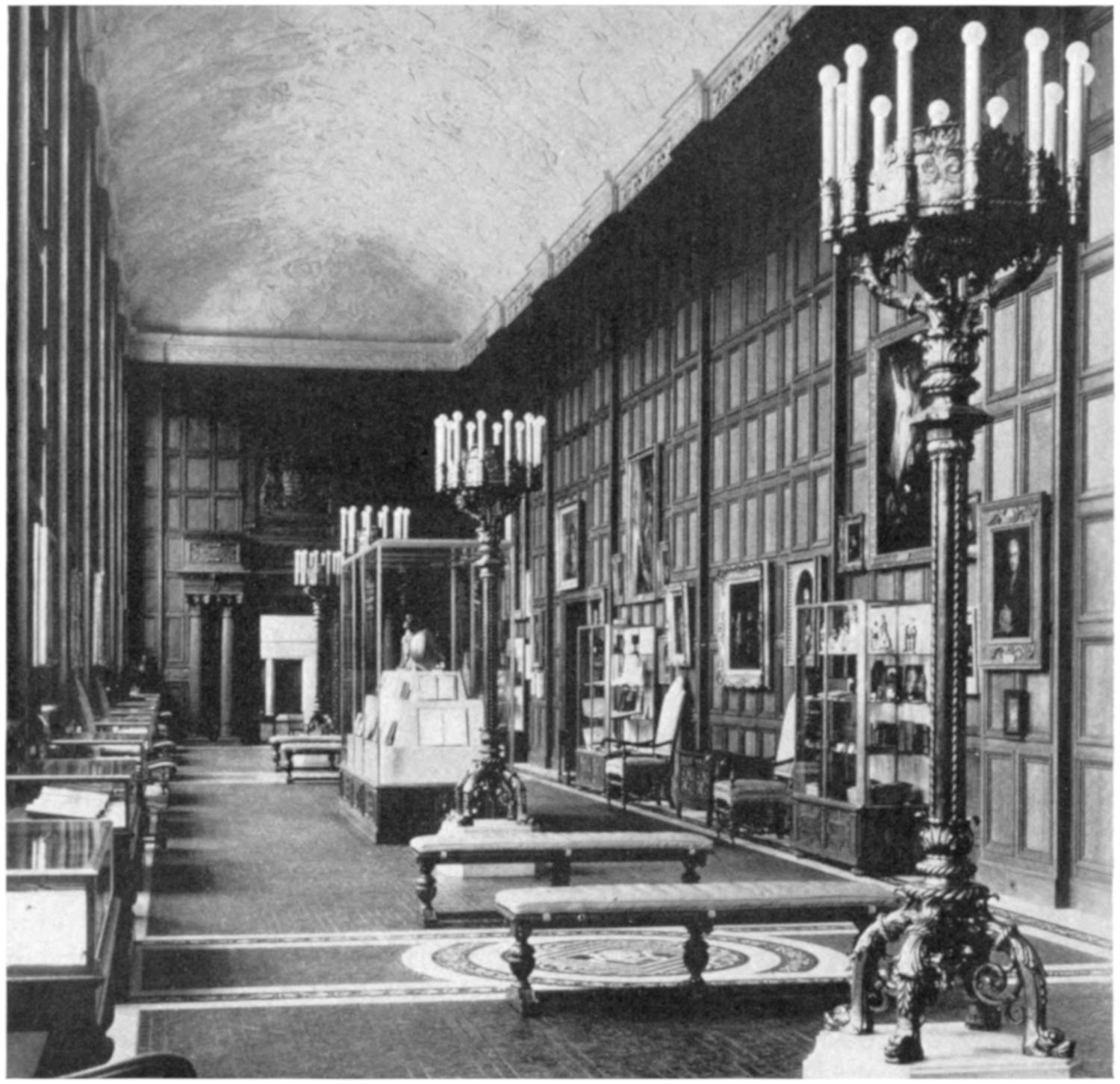
EXHIBITION HALL—FOLGER SHAKESPEARE LIBRARY
The sculptural theme is based on the following plays: Macbeth, Romeo and
Juliet, King Lear, Julius Caesar, Midsummer Night’s Dream, The Merchant of
Venice, Richard the Third, Hamlet, and Henry the Fourth. Their execution
was entrusted to John Gregory of New York. They are placed so as to have more
importance than the usual frieze—below each window of the exhibition room, at
the proper height for the passer-by, and along a marble terrace raised 3 feet above
the street level.
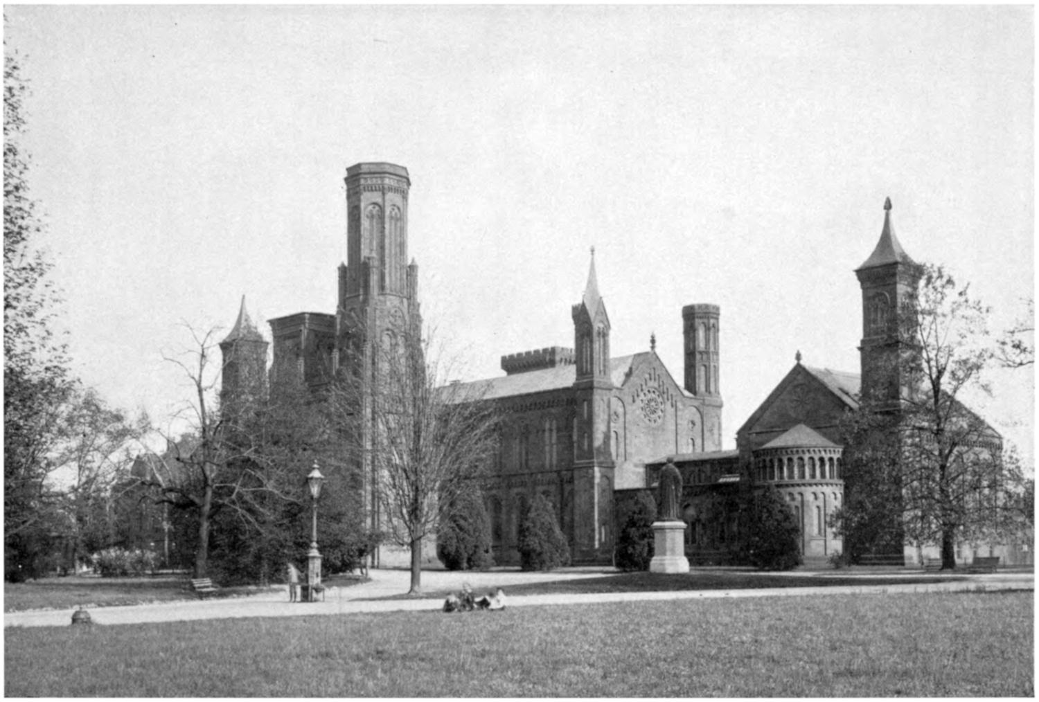
SMITHSONIAN INSTITUTION
The Smithsonian Institution was established by act of Congress in 1846,
under the terms of the will of James Smithson, an Englishman, who in 1826 bequeathed
his fortune to the United States to found, at Washington, under the
name of the “Smithsonian Institution,” an establishment for the “increase and
diffusion of knowledge among men.” The Institution is legally an establishment,
having as its members the President of the United States, the Vice President, the
Chief Justice, and the President’s Cabinet. It is governed by a Board of Regents.
The Secretary of the Smithsonian Institution is its executive officer and the director
of its activities. The building was designed by James Renwick, architect.
The regents are empowered to accept gifts without action of Congress, in
furtherance of the purpose of the Institution, and to administer trusts in accordance
therewith. Throughout its history, the Smithsonian Institution has conducted
and encouraged important scientific researches, explorations, and investigations,
which have contributed largely to the advancement of knowledge, and
thereby accomplishing the “increase of knowledge.” The “diffusion of knowledge”
is carried on through several series of publications based on its researches
and collections, through its museum and art gallery exhibits, and through an
extensive correspondence. The Smithsonian issues 13 series of scientific publications
which are distributed free to libraries, learned societies, and educational
institutions throughout the world. It also maintains a library of 876,000 volumes,
which consists mainly of transactions of learned societies and scientific
periodicals.
The Institution has charge of the National Museum, the National Gallery of
Art, the National Collection of Fine Arts, the Freer Gallery of Art, the International
Exchange Service, the Bureau of American Ethnology, the National
Zoological Park, and the Astrophysical Observatory (with several field stations).
The United States National Museum is the depository of the national collections.
It is rich in the natural history, geology, paleontology, archeology, and
ethnology of America, and has large and important collections illustrating American
history, including military and naval material, and also valuable series relating
to arts and industries. It is an educational and research museum and issues
scientific publications. Its aeronautical collection includes the airplane The Spirit
of St. Louis, deposited by Col. Charles A. Lindbergh in the spring of 1928.
The National Gallery of Art is a bureau of the Smithsonian Institution created
by joint resolution of Congress approved March 24, 1937, as a result of the gift
of Andrew W. Mellon to the Nation of his art collection of masterpieces valued
at $50,000,000 and $10,000,000 to erect a building to house it. The above act
accepting Mr. Mellon’s gift provided that the art collections already in possession
of the Smithsonian Institution and therefore designated the National Gallery of
Art should thereafter be known as the National Collection of Fine Arts. The
National Gallery of Art is administered for the Smithsonian Institution, in which
title is vested, by a Board of Trustees. The monumental marble building,
designed by John Russell Pope, is now under construction on the site on the
north side of the Mall between Fourth and Seventh Streets. (See p. 281 for
illustration.)
The Bureau of American Ethnology is engaged particularly in the collection
of information relating to the American Indians. The National Zoological Park
has an area of 175 acres and is located adjacent to Rock Creek Park. Its collection
comprises about 3,000 animals.
The Government Printing Office, in which the printing and bookbinding for
the various branches of the National Government is executed, is located on
North Capitol Street between G and H Streets NW. Covering almost a city
block with its eight-story, red-brick building, this plant is the best-equipped and
is reputed to be the largest printing office of its kind in the world.
Printing for the Government of the United States was first mentioned during
the initial session of Congress, in 1789, in the form of a recommendation to that
body that proposals be invited for “printing the laws and other proceedings of
Congress.”
The first specific appropriation for public printing was passed in 1794, when
an expenditure of $10,000 was authorized for “firewood, stationery, and
printing.”
Between 1804 and 1814, Congress had no fixed policy in relation to printing.
A contract system by the lowest bidder was adopted. The plan prevailed for 5
years but was very unsatisfactory, and Congress was compelled to look for a
better method. In December, 1818, both houses passed a resolution appointing
a joint committee to “consider and report whether any further provisions of law
are necessary to insure dispatch, accuracy, and neatness in printing the documents
of the two Houses of Congress.” The inquiries by this committee led them to
New York and Philadelphia, where they studied printing costs and methods, and
upon returning to Washington they made a report declaring most emphatically
for the establishment of a national printing office as the only means by which
Congress could secure necessary printing at reasonable costs.
No definite action was taken on the report, with the result that for the next
forty-odd years the method of handling public printing was constantly changing.
Some years there was a “Printer to the Senate” and a “Printer to the House,”
both elected by a ballot of Congress, and in other years there was a “Superintendent
of Public Printing.” Altogether it was expensive and impractical, and
by act of Congress on June 23, 1860, a national printing office was authorized.
On February 19, 1861, $135,000 was appropriated, and with this money the
printing establishment of Joseph T. Crowell, located at H and North Capitol
Streets, Washington, D. C., was purchased, upon approval of the Joint Committee
on Printing. This building had been constructed in 1856 by Cornelius
Wendell, as a private office. The building at that time was 243 by 61¹⁄₂ feet, 4
stories high, but by subsequent appropriations up to 1876 several additions were
made to the original structure.
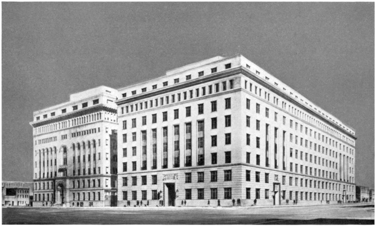
THE UNITED STATES GOVERNMENT PRINTING OFFICE
The plant, as taken over in 1861, employed between 300 and 400 persons and
evidently was, for that period, very complete. It consisted of a drying room,
pressroom, wetting room, job room, folding room, reading room, office, bindery,
machine shop, boiler house, and stable. Among some of the items of equipment
were 1 timepiece, 5 wrenches, one 40-horse engine, 104 pressboards, 2 wetting
tubs, and a large assortment of book and job type. The reading room had eight
armchairs, two pine desks, and one mahogany desk. The bindery had but few
machines, with only 2 ruling and 2 cutting machines, but the list carried 10 pairs
of shears, 4 bodkins, and other minor equipment. The pressroom had 23 Adams
presses and 3 cylinder presses. With the stable came two horses, one wagon,
and one carryall, and the boiler house had one 60-horse boiler, 525 feet of fire hose,
five buckets, etc.
On March 23, 1861, President Lincoln appointed Hon. John Defrees, of Indiana,
as the Superintendent of Public Printing. He reported that at once the cost
of work decreased at least 15 percent from the old contract prices.
On March 3, 1873, the printing of the debates of Congress, then known as
the Congressional Globe and handled under private contract, was taken over by
the Government Printing Office and thereafter became the Congressional Record.
In 1876, Hon. A. M. Clapp, then Congressional Printer, was designated the
first Public Printer, at a yearly salary of $3,600. Composing rooms employed 520
persons, pressroom 209, and bindery 591; in all, 1,361 persons were on the roll.
The total yearly pay roll was $786,493. It cost $188,198 to print the Congressional
Record in 1876, while binding of all kinds cost $402,069, paper $298,251,
and the total output of the Office was charged at $1,617,469. The total purchase
of machinery and equipment in that year was only $342.50.
In 1878 the building known as the Globe Vault was purchased from the private
owner, together with the bound and unbound volumes of the Congressional
Globe and all the stereotyped plates. The price paid was $100,000.
Fireproof extensions to the Government Printing Office were erected in 1879
and 1880. In 1882 the first fire escapes were installed, and force pumps proved
such an attraction to the public that the apparatus had to be covered with canvas.
Bows and arrows were also provided which would enable life lines to be
“shot” through the upper windows.
By the act of January 12, 1895, the Office of the Superintendent of Documents
was established in the Government Printing Office. Previously it was a part of
the Interior Department. The principal functions of the office were the preparation
of the official catalogs and indexes of the Government and distribution and
sale of Government publications.
The Office was placed under operation of the civil-service law August 1, 1895.
In the same year the Annex Building, formerly used by the Superintendent of
Documents, was constructed, and in the following year the Public Printer reported
the total floor space of the entire Office had increased to 8³⁄₄ acres.
In 1898 Congress appropriated $190,000 for the purchase of ground occupied
by the present building. In 1899 the building was started. It was completed
about 4 years thereafter, at a cost of $2,430,000.
In 1903 a small space in the Old Building was set aside as the “sick room.” Its
equipment consisted of a cot, blanket, and a small supply of medicines contributed
by the employees. This was the nucleus from which developed the first emergency
hospital in any Government establishment and was the initial step toward
scientific medical and surgical service. In 1907 an emergency room was installed
and an additional physician and matron were assigned to that service.
The first linotype machine and the first monotype keyboard were installed in
1904. In 1912 electric trucks displaced the horse-and-wagon delivery. In 1915
the Government Printing Office was an exhibitor at the Panama-Pacific International
Exposition held in San Francisco, Calif.
Between 1921 and 1934 several innovations were made. A few of the outstanding
are as follows: The eighth floor was remodeled and raised to provide
room for the Cafeteria, Harding Hall, recreation rooms, rest rooms, and large
space for productive work. The Cafeteria serves around 2,800 meals daily, and
Harding Hall, seating 1,200, is devoted to social activities of employees and may
be quickly converted into a ballroom, a motion-picture theater, or a forum.
Recreational activities include orchestra, baseball clubs, bowling alleys, dances,
moving pictures and lectures, annual excursions, and similar affairs. The photo-engraving
plant was also added as one of the new mechanical departments and is
also located on the eighth floor. A roof garden was built, covering practically
the entire building. The emergency hospital was enlarged, and wards for men
and women were provided, with beds, toilets, and shower baths.
Two hundred apprentices received training for occupational pursuits in the
various printing and bindery trades represented in the Office.
A testing laboratory was established in the Office for the purpose of standardizing
all materials, supplies, and stock used in the manufacture of printing.
The boiler and generating rooms were abolished, and the purchase of electric
current and steam from the Capital Power Plant was started.
Since 1934, under the direction of Public Printer A. E. Giegengack, the
Government Printing Office has continued to grow not only in size but also in
public esteem. Under his leadership, appropriations for a much-needed building
program were granted by Congress, and the erection of a warehouse and an
eight-story, red-brick addition to the main Printing Office building was accomplished.
The cost of this building program, which included buildings, machinery
and equipment, furnishings, the expense of moving, and other incidentals,
amounted to $7,700,000.
Among the many noteworthy improvements inaugurated for the betterment
of service to the Government, to the public, and to the 5,500 employees of the
Office, are the following:
The establishment of a department of typography, through which there are
incorporated into Government printing the accepted improvements in the field
of typography; the standardization of a type-metal alloy for all type-casting
machines; the installation of a more efficient cost-finding and pay-roll bookkeeping
system; the reestablishment of the Government Printing Office Apprentice
School; and encouragement of greater employee participation in all social, fraternal,
and welfare activities sponsored by the Office.
Uncle Sam’s Book Shop sold 10 million copies from its list of 65,000 publications
in 1937. This department is called the Office of the Superintendent of
Documents, which is located in the Government Printing Office building, and
these Government publications, covering almost every phase of human endeavor,
are for sale to the public at a reasonable price.
The site of the White House, or the President’s House, was selected by
President Washington. It was part of the David Burnes farm, and at the time
it was chosen a cornfield extended one-half mile south to the Potomac.
The cornerstone of the President’s House was laid on October 13, 1792, but
not by George Washington, as the records show that he and his family were in
Philadelphia at the time. The design was made by James Hoban, an architect of
Dublin, Ireland, who won a $500 prize and a lot for the best plan. In its exterior
it somewhat resembles the palace of the Duke of Leinster in Ireland. That,
however, has Corinthian columns over a rusticated base, showing the influence
of the Renaissance in England; and there are other distinctions in their classical
motives.
The White House was first occupied by President and Mrs. John Adams,
who moved in the latter part of November, 1800, the year Washington became
the seat of government. At the time it was very incomplete, and much discomfort
was experienced, particularly as to heating and lighting. The East Room
was used to dry the family wash. The White House was not finished until 1826.
Then and for many years following it secured its water from springs a short
distance to the northeast, in the vicinity of what is now Franklin Square.
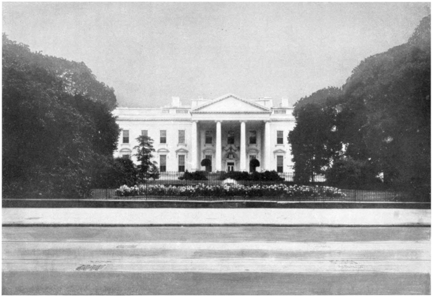
THE WHITE HOUSE—NORTH SIDE
The President’s House, as it was then called, was considerably damaged by
fire by the British, who threatened the destruction of the city in 1814. The
building, except for the wings at each side, which were used for offices and servants’
quarters, was restored by Hoban. Of white sandstone, the building which
became discolored by the fire was thereupon painted white and has since been
known as the White House. It was first lighted by gas in 1848, and a system of
heating and ventilating was installed in 1853.
The White House was remodeled during the administration of President
Roosevelt in 1902, when the Executive Office was taken out of the building and
placed in a temporary building to the west of the main building. This was
enlarged during the administration of President Taft in 1909 to twice its former
size. It was further remodeled in 1927 by making the building fireproof and
constructing a third story out of the attic.
In 1929 it was found necessary by President Hoover to use also the basement
for an office. In the same year the building was partially burned, but has since
been rebuilt. It is thought by some that in the years to come the remodeled State
Department Building will become the permanent Executive Office Building, and
the State Department will have a new building on the west side of Lafayette Square.
The White House has a length of 183 feet (east and west) and a width of
85 feet; it is 58 feet high. The portico of Ionic columns forms a porte-cochère
and measures 40 feet by 59 feet (east and west), and is 50 feet high.
The building contains many beautiful paintings and other works of art, among
them a Gilbert Stuart portrait of George Washington, called the Lansdowne
Stuart, which was saved by Dolly Madison by cutting the picture from its frame
when the White House was burned by the British in 1814. It is now in the
East Room, which is the great reception room, 82 feet long (the width of the
mansion), 40 feet wide, and 22 feet high. From the ceiling hang three massive
crystal chandeliers. In addition to numerous paintings, large vases and other
articles adorn the room.
Other interesting rooms are the State Dining Room, the scene of brilliant State
functions; the Blue Room—the President’s reception room—the walls of which
are covered with rich blue corded silk, with window hangings of blue; the Red
Room, the walls and window draperies of which are of red velvet; and the Green
Room, which has on the walls green velvet. The wainscoting of the Green Room
is of white enamel.
Large and beautiful grounds bound the White House on the south. Here the
Marine Band plays every Saturday afternoon during the summer months. Also
it is here where the annual Easter egg rolling takes place, always a great day for
the boys and girls of Washington. The area is called the White Lot because about
1850 a board fence that later was painted white surrounded these grounds.
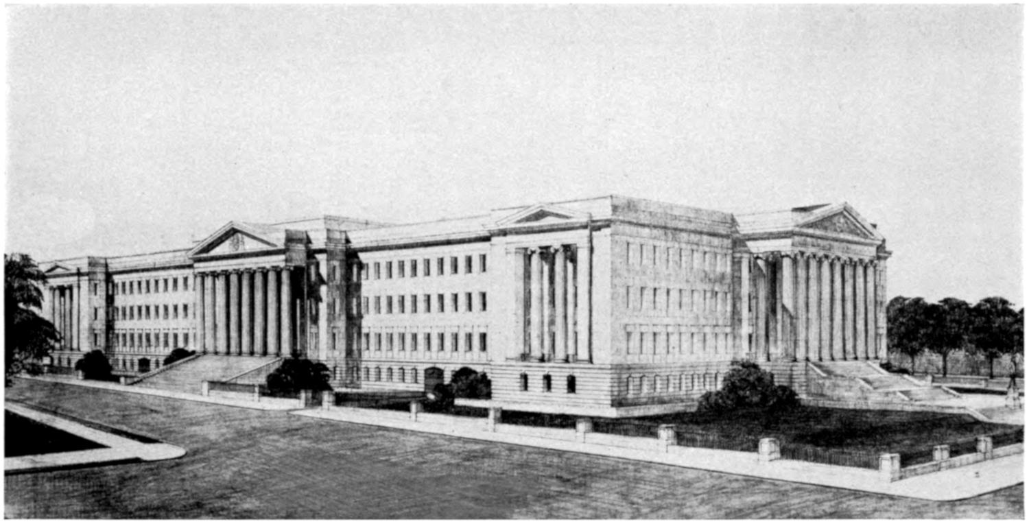
DEPARTMENT OF STATE BUILDING AS IT WILL APPEAR WHEN REMODELED
Originally the main entrance to the White House was on the south side,
while the portico on the opposite side was a garden where the family spent their
evenings. This is the arrangement observed to-day at Arlington House and at
Mount Vernon, and is an indication that in the colonial days the back yards of
homes were as nicely kept as were the front yards.
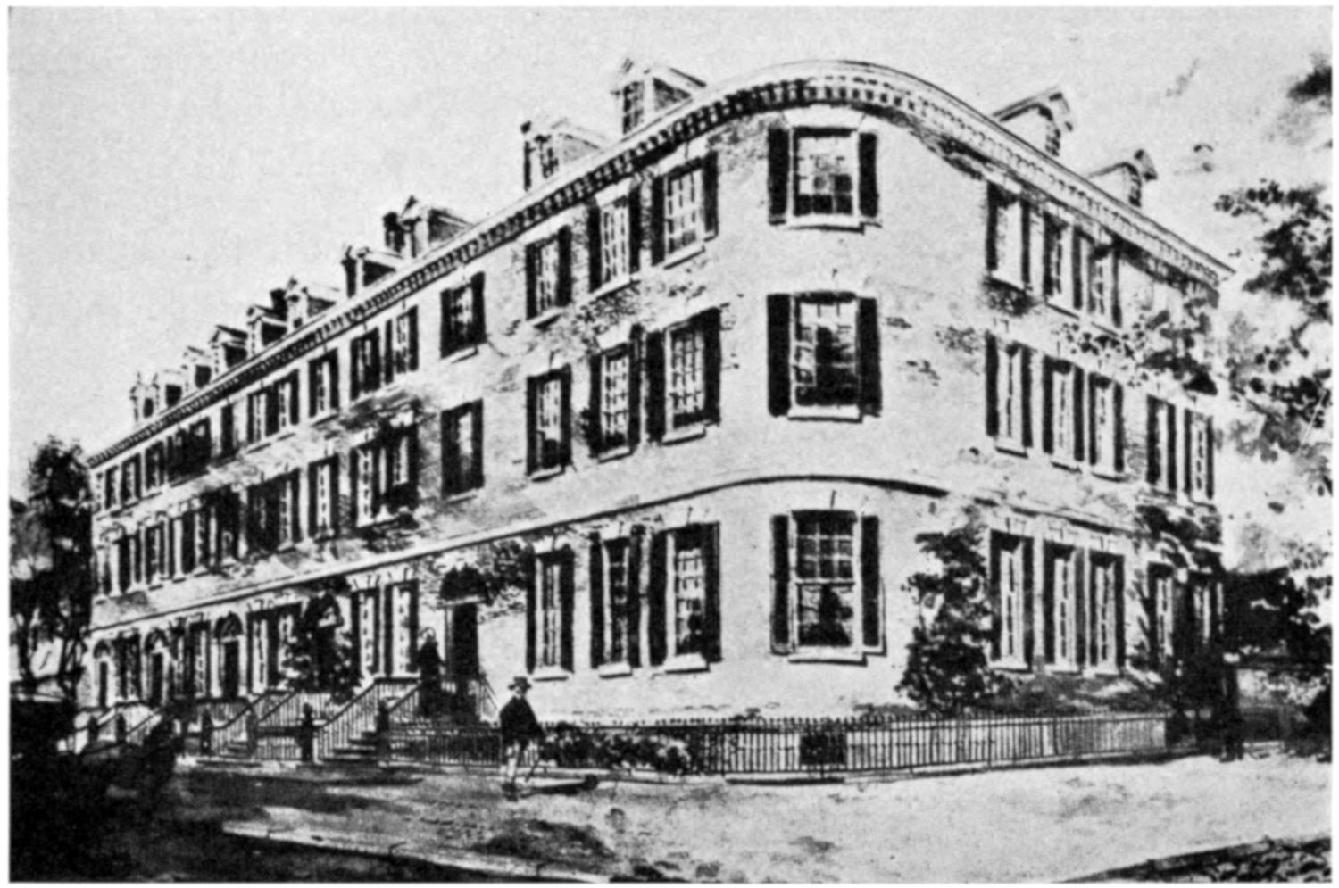
DEPARTMENT OF STATE BUILDING, 1801
In 1788 the Department of Foreign Affairs moved from Fraunce’s Tavern to
a house owned by Philip Livingston, on the west side of Broadway, near the
Battery, in New York City. Later it moved to another house on the same street
on the opposite side. The Capital having been again located at Philadelphia, the
department took up its abode first on Market Street, then on the southeast corner
of Arch and Sixth Streets, then in North Alley, and finally at the northeast
corner of Fifth and Chestnut Streets, where it remained until it was moved to
Washington, except for an interval of three months—from August to November,
1798—when it occupied the statehouse at Trenton, N. J., the office being moved
from Philadelphia on account of an epidemic of yellow fever.
On July 27, 1789, the act establishing an executive department to be called
the Department of Foreign Affairs was approved; but the Sedgwick Act, approved
September 15, 1789, changed this title to the Department of State and
that of the principal officer to the Secretary of State. A few days later John Jay,
who was Secretary of Foreign Affairs under the Confederation, was nominated
to be Chief Justice of the Supreme Court and Thomas Jefferson to be Secretary
of State, and both were commissioned on September 26. Jay accepted at once,
but continued to discharge the duties of Secretary of State for some months.
Under date of October 13 President Washington informed Jefferson of his
appointment, and added that Mr. Jay had been so obliging as to continue his
good offices. When this letter was written Jefferson had not returned to America
from his mission to France. Upon his arrival Jay recommended to him favorably
“the young gentlemen in the office.” Jefferson formally entered upon the discharge
of his duties on March 22, 1790.
When the seat of government was established in the District of Columbia in
1800 the archives and the seven employees of the Department of State were
crowded into the Treasury Office, a building of 30 rooms, to the east of the
White House. It was the only Government building sufficiently completed to
receive them. John Marshall was then Secretary of State. On August 27, 1800,
the Department of State was removed to one of the Seven Buildings on Pennsylvania
Avenue and Nineteenth Street NW.
It has been interesting to determine positively the name of this historic group
of buildings, because some confusion has arisen through there being in 1800 two
groups or rows of houses, near to one another, one called the Six Buildings and
the other the Seven Buildings. Christian Hines, in his Early Recollections of
Washington City (1866), says, when giving a list of the few houses standing in
the year 1800:
One square between Pennsylvania Avenue and K and Twenty-first and Twenty-second Streets,
the Six Buildings, three stories high, owners and occupants not recollected * * *. One square
bounded by Pennsylvania Avenue and I and Nineteenth and Twentieth Streets, 10 houses—one
3-story frame, occupied by a Mr. Middleton; one 2-Story frame, owned and occupied by William
Waters, Esq., and the Seven Buildings, brick, 3 stories high.
Samuel C. Busey, in his Pictures of the City of Washington in the Past (1898),
refers to and confirms Hines’s statements as to these two sets of buildings, and
adds that in the Six Buildings was located O’Neal’s famous hotel. All writers
apparently agree that the first home of the Department of State in Washington
was in the house on the northwest corner of Pennsylvania Avenue and Nineteenth
Street. This row of buildings—Nos. 1901-1913 Pennsylvania Avenue—is
still standing, though it has undergone considerable change.
From the early part of 1820 to November, 1866, the Department of State was
located at the corner of Fifteenth Street and Pennsylvania Avenue NW., in what
was known as the Executive Building. The picture shown below was given to
William McNeir, chief of the division of accounts of that department, by
Thomas Ridgate, who found it in the attic of the old building. It will be noted
from the picture, which shows the Treasury Department Building columns at the
extreme left, that it was taken before the building was razed to make room for
the north wing of the present Treasury Department Building; the rest of the new
building had at that time been erected. Of this building Jonathan Eliot states,
in his Historical Sketches of the Ten Mile Square, describing Washington in 1830:
At the distance of about 200 yards, on the east of the President’s house, are situated two buildings
for the Department of State and of the Treasury; and at the same distance on the west are
two others for the War and Navy Departments. These buildings are all of the same dimensions
and construction; they are 160 feet long and 55 feet wide, of brick, two stories in height; they
are divided in their length by a broad passage, with rooms on each side, and a spacious staircase
in the center. The two most northerly buildings are ornamented with an Ionic portico of six
columns and pediment. The grounds about these offices have been graduated and planted of late
years, and the shrubbery begins to present a pleasing appearance.
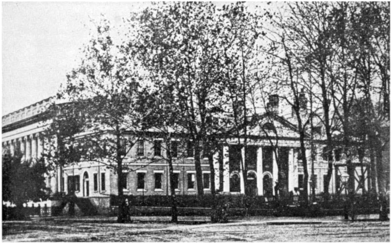
EXECUTIVE BUILDING, 1820-1866
W. K. Force, in his Picture of Washington for 1850, said, speaking of the
northeast Executive Building:
The first floor is occupied by the Fifth Auditor of the Treasury at the east end, and the Second
Comptroller of the Treasury at the west end. On the second floor are the apartments of the
Secretary of State and his suite; also the library of the department, containing some ten or twelve
thousand volumes.
John Quincy Adams was Secretary of State when the move to this new home
was made, and thereafter followed a long list of distinguished Secretaries, the
last to occupy this building being William H. Seward, from 1861 to 1869.
The north wing of the present Treasury Department Building bears on its
exterior wall on Fifteenth Street a tablet, erected April 30, 1929, by the Kiwanis
Club of Washington, in cooperation with the Committee on Marking Points of
Historic Interest, which contains the following inscription:
FRIENDSHIP BETWEEN THE UNITED STATES AND CANADA WAS DEVELOPED AND
STRENGTHENED BY THE SIGNING OF THE WEBSTER-ASHBURTON TREATY, ON AUGUST 9,
1842, IN THE OLD STATE DEPARTMENT BUILDING WHICH STOOD ON THIS SITE. THIS TREATY
ESTABLISHED THE NORTHEASTERN BOUNDARY BETWEEN THE TWO COUNTRIES.
On March 3, 1871, Congress appropriated half a million dollars to start work
on the State, War, and Navy Departments Building. The act provided:
For the construction under the direction of the Secretary of State, on the southern portion of
the premises now occupied by the War and Navy Departments, of a building which will form the
south wing of a building that, when completed, will be similar in ground plan and dimensions to
the Treasury Building and provide accommodations for the State, War, and Navy Departments.
The original plans were drawn by Thomas U. Walter, a noted Philadelphia
architect, who designed the Dome of the Capitol and the completed Treasury
Building, but A. B. Mullett, Supervising Architect of the Treasury, undertook
the work, and finally only the interior conformed to the original plans.
The building was erected in five different sections. The south wing was
commenced in 1871 and completed in time for the Department of State to move
in July 1, 1875. The east wing was commenced in 1872 and completed seven
years later, so that on April 16, 1879, the War and Navy Departments moved
into that wing. The old War Department Building, which had occupied the site
of the north wing of the present building, was demolished in 1879, and the new
building or north wing was completed three years later, the War Department
moving into it in December, 1882. The west and center wings were the last to be
erected, work on them commencing March 31, 1883, and being completed
January 31, 1888. For a long time each wing was necessarily separated by a
solid wall—and later by an iron grill, or gates in the corridors—but finally these
disappeared, and the beauty of the long corridors as they now are appeared.
The total cost of the whole building was slightly more than $10,000,000, and
appropriations therefor spread over a period of 17 years. Separate permanent
buildings for the War and the Navy Departments are now to be erected, these
two departments being housed at present largely in temporary buildings. The
Department of State alone remains in the building.
In 1910 a building for the Department of State was recommended for a
site along Fifteenth Street, south of Pennsylvania Avenue, where now the
Department of Commerce has been built. In 1917 it was recommended that a
Department of State Building be erected on the west side of Lafayette Square.
In the new Federal building program Congress has provided that the present
State, War, and Navy Building be remodeled to conform in design to the Treasury
Department Building, and to be known as the Department of State Building. The
building will thus properly balance the White House. Congress made a fund of
$3,000,000 available for this work. The Secretary of the Treasury appointed
Waddy Wood, architect of Washington, to prepare the design, which has been
approved by the Commission of Fine Arts. However, the project has been held
in abeyance.
The Department of State was created as the first department of the Government
in 1789, in order to help the President in carrying on our foreign relations.
However, in the early years of our country the Department of State not only
had charge of foreign affairs, but, as Thomas Jefferson, the first Secretary of State,
once wrote, it also had charge of all important matters of domestic government as
well, except matters of war and finance. In the early days the Secretary of State
even managed the mint. Until 1849 he had charge of the Patent Office, until 1859
handled all copyright matters, and until 1850 the census of the United States
was taken under his direction. Before the Civil War, United States judges,
marshals, and attorneys all received their instructions from the Department of
State, but in 1870 a new Department of Justice was established to take care of
these matters, and little by little much of the domestic work was taken from this
department and put under new departments, such as the Department of the
Interior, the Department of Labor, and the Department of Commerce. Therefore,
to-day the Department of State devotes most of its time to handling foreign affairs,
although it is still the custodian, or the keeper, of the great seal, the official seal of
the Government of the United States. When Congress passes new laws the original
copies are kept in this department, and when there is any correspondence
between the various States of the Union and the Federal Government it is
carried on through the Department of State.
The Secretary of State has a force of some 950 people in the department in
Washington, and about 3,800 people scattered over all the world in the Foreign
Service of the United States. The department in Washington is divided into
35 divisions and offices, each with its special work to perform. Six divisions have
charge of matters pertaining to foreign countries—South and Central America;
the Far East, as China, Japan, and Siam; the division of Western European affairs;
Eastern European affairs; a division of the Near East; and the Mexican division.
One of the largest offices in the department is the passport division, which
issues passports to American citizens traveling in foreign countries. Last year
134,737 Americans obtained passports so that they might travel abroad, the
fees for which amounted to nearly $1,500,000, almost enough to pay the entire
expenses of the Department of State.
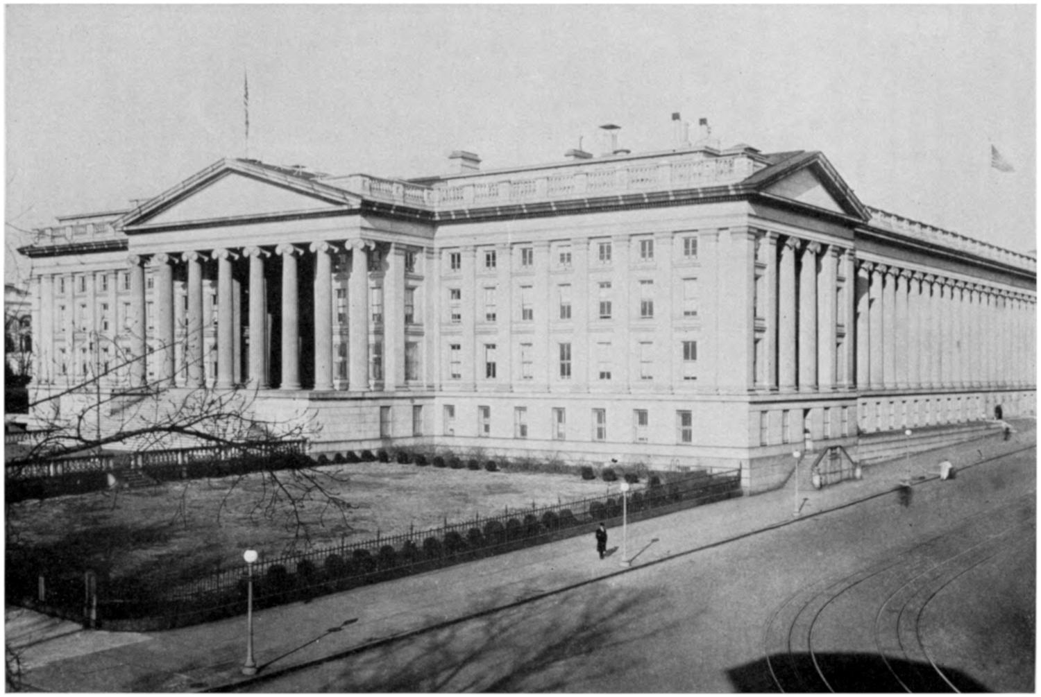
DEPARTMENT OF THE TREASURY BUILDING
When foreigners wish to come to this country they must first go to one of our
American consuls to obtain a visa or a permit. The immigration of foreigners
into this country is now restricted by law. Therefore our consuls examine the
foreigners abroad, so that they may know before starting on their journey whether
they will be allowed to remain in this country. The visa division of the Department
of State has charge of that work.
Whenever there are expositions or meetings of various kinds abroad, and it is
decided that the United States Government shall take part in them, such participation
has to be arranged through another of the divisions of the Department
of State. As many as 150 cables are sent every day to all parts of the world,
which are taken care of in the department’s telegraph office. In many foreign
countries our Government is now buying and constructing its own buildings
for our ambassadors and consuls, and one of the offices in the department attends
to these matters.
The Secretary of State is assisted in the direction of all these officers and
offices by an Under Secretary of State, four Assistant Secretaries of State, and a legal
adviser. The United States has an ambassador or minister in 54 different countries
of the world. There are 314 foreign commercial cities where the United States
has a consul general, consul, vice consul, or consular agent, who, among other
duties, help steamship lines and great business establishments to promote commerce
with the United States. Our consuls protect and assist the hundreds of
American missionaries whose stations are in remote foreign regions of the world.
In addition to their many duties they help thousands of visitors during trips
abroad who seek advice. And when an American is visiting in a foreign land,
even though scenery and ruins that recall civilizations of past ages give him
pleasure, there is nothing that gives him more joy than to see in such places the
Stars and Stripes waving over a United States consulate.
The Department of the Treasury was created by act of Congress September
2, 1789. Robert Morris, of Pennsylvania, financier and statesman, one of the
Signers of the Declaration of Independence, was the first financial officer of the
Government and was Superintendent of Finance from 1781 to 1784. Upon the
resignation of Morris the powers conferred upon him by the Continental Congress
were transferred to the Board of the Treasury. This board served until
Alexander Hamilton, of New York, the first Secretary of the Treasury, assumed
office. Hamilton served from September 11, 1789, to January 31, 1795, thus
serving under President Washington. Since the formation of the Government
there have been 50 Secretaries of the Treasury; the present incumbent, Hon.
Henry Morgenthau, jr., of New York, assumed office January 1, 1934. The
Secretary of the Treasury, of course, has supervision over the finances of the
Government. The annual estimates, however, since 1921 have been transmitted
to Congress by the Director of the Budget for the President of the United States.
The first building of the Treasury Department situated at this location east of
the White House was a small wooden structure, called the State and Treasury
Departments Building. It was built at the time the seat of government was established
in the District of Columbia in 1800 and comprised 30 rooms. This original
building was burned by the British during the invasion of Washington in 1814.
A second building was erected. This was destroyed by fire in 1833. In 1836
Congress authorized the erection of “a fireproof building of such dimensions as
may be required for the present and future accommodations.” Also the material
for the building was to be similar to that used for the Capitol and the White House.
The architect was Mr. Robert Mills, who at the same time was designing the
Patent Office Building and later won the competition for the design of the Washington
Monument. When it came to the question of location of the new building,
it is said that President Andrew Jackson, becoming impatient at the delay, said
“Here, right here, is where I want the corner stone laid.” Thus the building stands
where it is to-day. In 1839 the department was installed in the unfinished building.
The Treasury Building consists of a 4-story rectangle around a large central
court; this court is divided by a corridor of offices. On the west the building faces
the beautiful White House Grounds, its north side is on Pennsylvania Avenue,
its east front runs along Fifteenth Street, and its south side overlooks a half-mile
stretch of park leading down to the Potomac River.
The building completed in 1842 included only the middle portion of the present
east wing and the central corridor and offices. The south wing was completed
in 1861, the west wing in 1864, and the north wing in 1869. It is an imposing
granite structure. In design it is pure Grecian, furnishing what is claimed to be
one of the finest examples of this style of architecture in Washington, if not in the
entire country. There are great pediments on the north, south, and west sides.
Monolithic columns of the Ionic order adorning the façades are the distinguishing
feature of the building architecturally. There are 72 of these columns, each 36
feet in height, 30 being set to form an unbroken colonnade 341 feet long on the
east front. Most of the granite used was brought to Washington in sailing
vessels from Maine. The building has 488 rooms and cost over $6,000,000.
The department long ago outgrew the building. The personnel in Washington
now numbers more than 22,000, with some 26 main bureaus and divisions.
At present Department of the Treasury bureaus occupy, in addition to
the main building, 9 entire buildings and part of 6 other buildings owned by the
Government and 5 rented quarters. The Treasury Annex is an imposing building,
designed by Cass Gilbert, across Pennsylvania Avenue on the north. Congress
has authorized its extension to H Street.
The Department of the Treasury is the central agency through which the
Federal Government conducts its financial affairs. Generally speaking, it receives
and has custody of all funds paid to the Government and disburses all moneys of
the Government. At the head of the department are the Secretary of the Treasury,
the Under Secretary of the Treasury, and three Assistant Secretaries of the
Treasury, whose offices are all located in the main building.
The receipts of the Government come chiefly from internal-revenue collections
and customs duties. The Bureau of Internal Revenue administers and enforces
the internal-revenue laws and collects all internal-revenue taxes. The personnel
of this bureau has been brought together and now occupies a beautiful new
building recently completed as part of the development along the Mall. Import
duties or customs are collected by the Bureau of Customs.
Disbursements of Government funds can be made only on the authorization
of Congress. When any payment is authorized, a warrant signed by the Secretary
of the Treasury and countersigned by the Comptroller General of the
United States is drawn. Upon this authority payment is made. The division
of bookkeeping and warrants, under the general supervision of the commissioner
of accounts and deposits, keeps complete records of all appropriation accounts as
well as of public moneys covered into the Treasury and of warrants authorizing
disbursements.
The Treasurer of the United States is charged with responsibility for the
actual receipt and disbursement of all public moneys that may be deposited in
the United States Treasury and in all other depositaries authorized to receive
deposits of Government funds for credit in the account of the Treasurer of the
United States. He has also many other fiscal duties.
The public-debt service handles the records and operations pertaining to the
issue and retirement of the public debt and the interest payments thereon, under
the supervision of the commissioner of the public debt.
The Bureau of the Mint manufactures the coin circulating medium of the
country. It maintains mints at Philadelphia, San Francisco, and Denver for the
coinage of money, as well as assay offices in New York and elsewhere. The
Bureau of Engraving and Printing at Washington engraves and prints notes,
bonds, securities, stamps, checks, etc.
The Comptroller of the Currency is charged under the law with the supervision
of national banks.
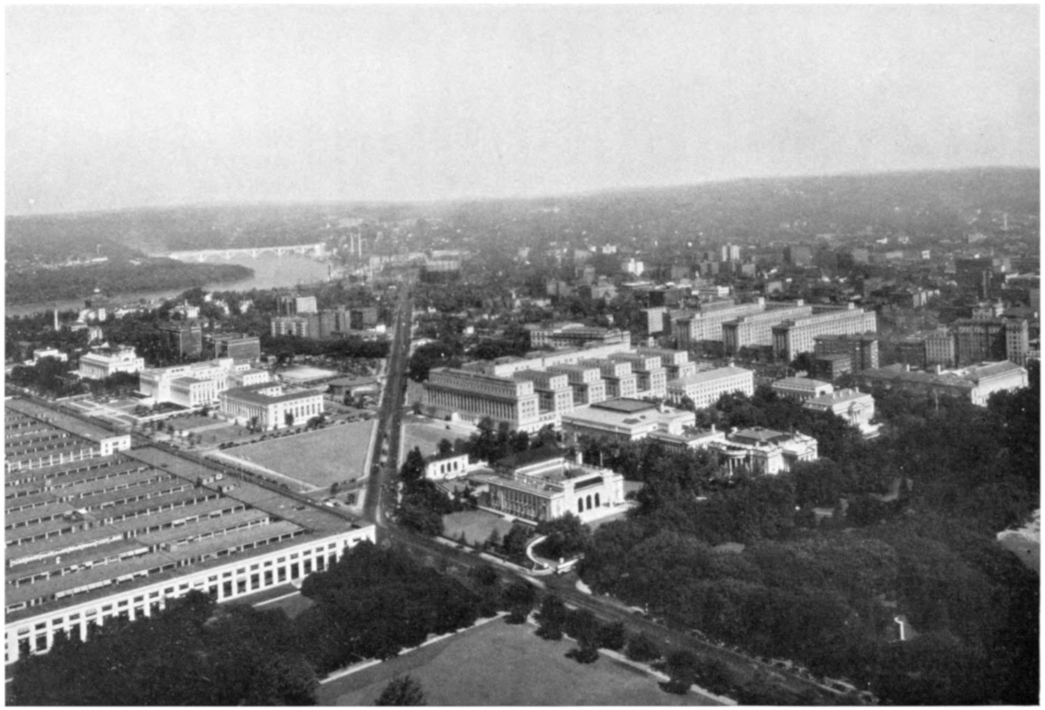
VIEW NORTHWEST FROM THE WASHINGTON MONUMENT
Lack of space in this book makes it necessary merely to mention the more
important of the other monumental buildings in the National Capital. Detailed
information concerning them may be found in the author’s Washington
the National Capital and in other books on Washington. They should be
studied in connection with the buildings described in this chapter.
Attention is called first to the group of monumental semipublic buildings,
classical in design, on Seventeenth Street north of Constitution Avenue and along
that Avenue from Seventeenth Street west to the Potomac River. It has been
said that nowhere else in the world is there such a fine group of marble buildings.
This Gallery had its beginning in the year 1869. It ranks as one of the great
art galleries in the United States. The present building (at New York Avenue
and Seventeenth Street) was designed by Ernest Flagg, architect, and completed
in 1897. It is built of Georgia marble. It houses rare masterpieces of painting
and sculpture.
Adjacent to the Corcoran Gallery on the south, the American National Red
Cross occupies three large buildings constructed of Vermont marble. They
were designed by Trowbridge & Livingston, architects, of New York City.
The Red Cross had its beginning during the Civil War. In 1905 the organization
was chartered by Congress along its present lines. There are 5,500,000 adult
members and 8,500,000 Junior members (as of June 30, 1938).
The next building to the south is the headquarters of the National Society of
the Daughters of the American Revolution. It faces Seventeenth Street, was
designed by Edward Pearce Casey, architect, built of Vermont marble, and completed
in 1905. The cornerstone was laid April 19, 1904, the anniversary of the
Battle of Lexington. On that date the organization holds its convention in
Washington each year. It was founded October 11, 1890, and on February 1,
1938, numbered 142,744 members, with about 2,500 chapters in all parts of the
United States.
Another of the Society’s buildings, facing Eighteenth Street, in this square, is
the leading auditorium of the city. It was designed by John Russell Pope,
architect, built of Alabama limestone, and completed in October, 1929. The
auditorium seats 4,000 persons. On page 278 there is a picture of the building.
The mural decorations of the interior are by J. Monroe Hewlett, architect.
This building, at the corner of Seventeenth Street and Constitution Avenue,
is considered by some to be the most beautiful in Washington. It was designed
by Albert C. Kelsey and Paul P. Cret, architects, in the Spanish-classical style of
architecture. It was built of Georgia marble and was dedicated April 26, 1910.
It is the headquarters of the 21 Republics of the Pan American Union. In it is
the famous Hall of the Americas. Andrew Carnegie contributed $850,000
toward the building, and the United States Government contributed the 5-acre
tract, on which stood the Van Ness Mansion (1815) and the David Burnes
cottage, which stood there in the days of George Washington.
Designed by Waddy B. Wood, architect, the new Department of the Interior
building occupies two squares between C and E and Eighteenth and Nineteenth
Streets. It is built of Indiana limestone and is the largest air-conditioned office
building in the world.
This building, designed by J. H. deSibour, architect, is classical in design and
built of white Georgia marble. It was completed in 1933. It is four stories in
height and houses the large and growing office of the Surgeon General of the
United States and his staff of assistants. In its location on Constitution Avenue
it forms a part of the frame for the Lincoln Memorial.
Completed in 1937, this building forms the center of the group of monumental
marble buildings along Constitution Avenue west of Seventeenth Street. The design,
by Paul P. Cret, architect, is based on classical motives. It is built of white
Georgia marble. It is the headquarters building for the Federal Reserve Board.
In it is a large mosaic map of the United States by Ezra Winter, mural painter,
showing the location of the 12 Federal Reserve branch banks in the different
sections of the country.
This building, designed by Bertram G. Goodhue, architect, is immediately east
of the Federal Reserve Board building. It is classical in design and built of white
marble from Dover, N. Y. The building was dedicated by President Coolidge in
April, 1924. The interior is decorated with paintings and decorations by Hildreth
Meiere and Albert Herter; the sculptural decorations are by Lee Lawrie.
Immediately north of the Lincoln Memorial stands the American Institute of
Pharmacy. It was designed by John Russell Pope, architect, and built of white
Vermont marble. It is classical in its style of architecture, and in its location west
of the National Academy of Sciences completes the group of buildings on Constitution
Avenue that form a frame for the Lincoln Memorial. The building is
the headquarters of the druggists in the United States. More than 14,000
druggists subscribed toward the building fund. The Pharmacopoeia of the
United States, under which prescriptions and drugs are standardized, is supervised
by the Institute.
This building, at Sixteenth and P Streets NW., is the headquarters of the
Supreme Council of the Thirty-third Degree, of the Ancient and Accepted
Scottish Rite of Freemasonry of the Southern Jurisdiction. It is modeled after
the tomb of Mausolus, at Halicarnassus, in Asia Minor, which was regarded by
the ancients as one of the Seven Wonders of the World. Its 33 Ionic columns
are 33 feet tall, suggesting the 33 degrees of Masonry. On each side of the main
entrance is a colossal sphinx, symbolic of Divine Wisdom and Power, executed
by A. A. Weinman, sculptor. The building was designed by John Russell Pope,
architect.
At 16th and P Streets NW. is the Carnegie Institution of Washington. The
building was designed by Carrére and Hastings, and shows an influence of the
French classical style of architecture.
Dedicated in 1925, this building, at Connecticut Avenue and H Streets NW.,
is classical in its style of architecture and is adapted to modern office requirements.
It was designed by Cass Gilbert, architect. Fully 13,000 business men
representing almost 200 cities of the United States contributed toward the
building.
The National Geographic Society, organized in 1888, “for the increase and
diffusion of geographic knowledge,” is the largest educational and scientific body
in the world.
In its 50 years the society has sponsored a series of notable explorations,
discoveries, and research activities of our times, and it has developed its unique
and beautifully illustrated National Geographic Magazine as a means of disseminating
geographic information among its world-wide membership.
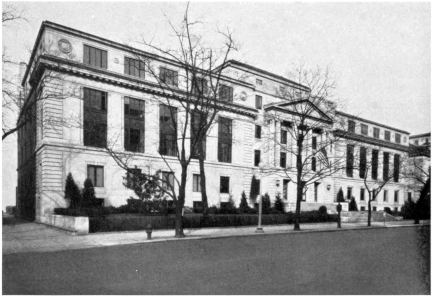
NATIONAL GEOGRAPHIC SOCIETY
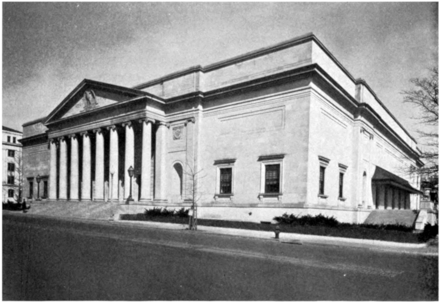
CONSTITUTION HALL
The society’s administrative and editorial offices, at Sixteenth and M Streets
NW., were enlarged by an addition which extends its handsome and dignified
headquarters along a 214-foot frontage. A commodious and modern office building
at Third Street and Randolph Place NE., is used for mailing its magazine,
maps, and communications to its world-wide membership.
In its editorial, research, technical, photographic, and clerical departments,
and in the publishing of the National Geographic Magazine, the society now
employs more than 800 persons. It is the largest non-Government user of the
National Capital’s post office facilities.
The society’s members, numbering 1,150,000 (December, 1938), represent
every community of 100 or more persons in the United States, while its foreign
membership of 183,709 includes residents in every country, colony, principality,
and mandated area of the world which has any semblance of a postal system.
To each member goes monthly the National Geographic Magazine, which has
been called the foremost educational periodical in the world; each member also
receives every map and panoramic illustration as issued. Thus the society has
distributed among its more than a million member homes some 20,000,000 wall
maps, in color, in addition to the numerous sketch maps which accompany articles
in the magazine.
The society’s weekly lectures, which are held in Constitution Hall, have become
a part of the intellectual life of the National Capital. Since their inception
more than 1,400 explorers, statesmen, and world travelers of note have addressed
the Washington meetings. Such explorers as Rear Admiral Peary, Sir Francis
Younghusband, Capt. Roald Amundsen, Colonel Lindbergh, and Rear Admiral
Byrd have related their findings to the society’s members; also such noted travelers
as the late Viscount Bryce, former Ambassador Jusserand, the late William
Howard Taft, and Colonel Roosevelt, after his return from his African game hunt
and his Amazon expedition.
When these lectures are of general interest they are reprinted and illustrated
in the magazine for the society’s entire membership.
At its Sixteenth Street headquarters the society maintains a library of up-to-date
geographic information, comprising some 20,000 volumes, in addition to
maps, periodicals, and reports from foreign governments and geographic societies.
The leading universities of the city, such as Georgetown University, founded
1789; George Washington University, founded 1821; Catholic University,
founded 1889; American University, founded 1893; Howard University, founded
1867; Columbia Institution for the Deaf, founded 1857; and Trinity College,
Brookland, founded 1897; also have their monumental buildings.
In the Triangle group are to be found: Department of Commerce Building,
York & Sawyer, architects; Department of Labor and Interstate Commerce
Commission Building, Arthur Brown, architect; Post Office Department Building,
Delano & Aldrich, architects; Department of Justice Building, Zantzinger, Borie
& Medary, architects; Internal Revenue Building, Louis Simon, architect;
National Archives Building, John Russell Pope, architect; Federal Trade Commission
(Apex) Building, Bennett, Parsons & Frost, architects.
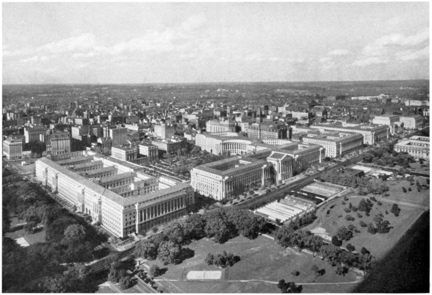
THE TRIANGLE GROUP OF PUBLIC BUILDINGS ALONG CONSTITUTION AVENUE
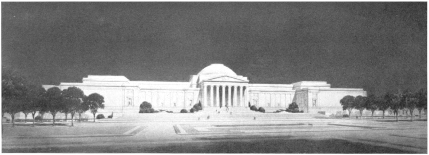
THE NATIONAL GALLERY OF ART
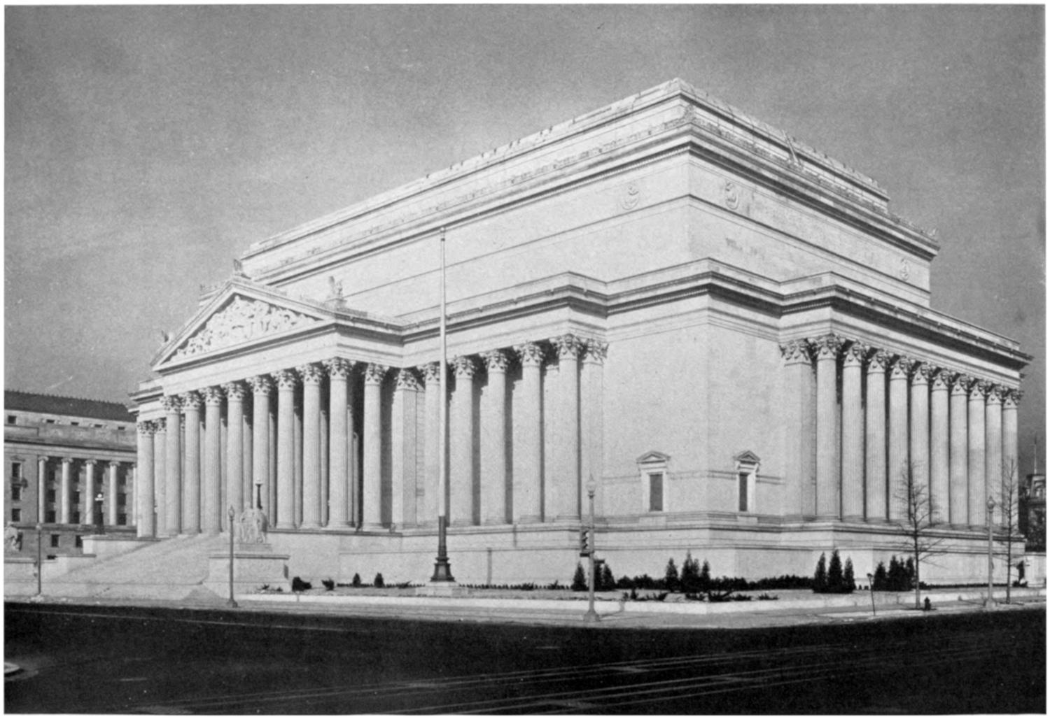
THE NATIONAL ARCHIVES BUILDING
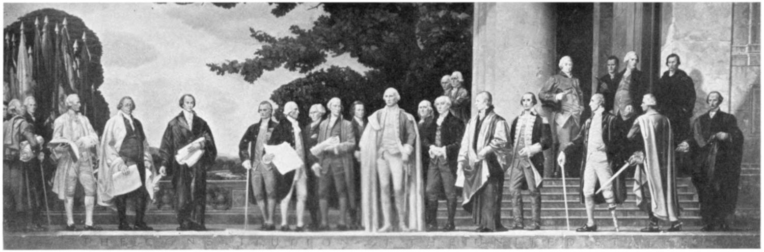
THE MAKERS OF THE CONSTITUTION
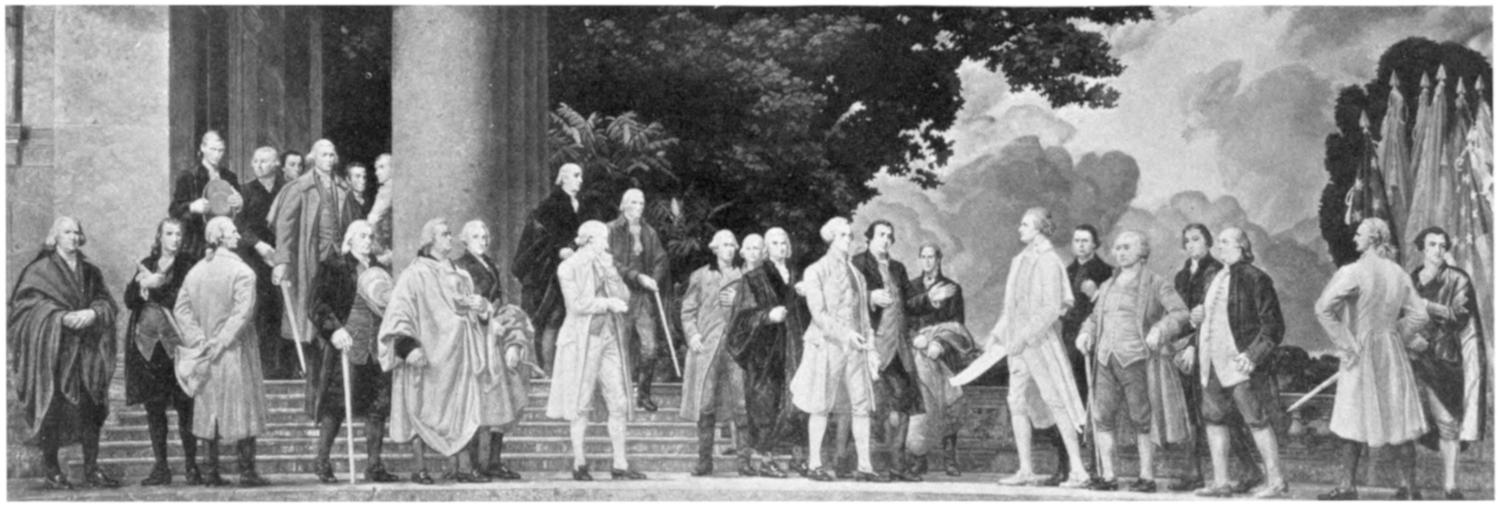
THE SIGNERS OF THE DECLARATION OF INDEPENDENCE
Other buildings are: The Central Heating Plant (for heating 75 buildings), Paul
P. Cret, architect; Bureau of Engraving and Printing, W. B. Olmstead, architect;
Smithsonian Institution (begun in 1846), James Renwick, architect; National
Museum Building, Hornblower & Marshall, architects; Freer Gallery of Art,
Charles A. Platt, architect; Department of Agriculture Building, Rankin, Kellogg
& Crane, architects; Department of Agriculture South Building, the Supervising
Architect; Naval Observatory; State, War, and Navy Building, A. B. Mullett,
supervising architect; Old Pension Office Building (General Accounting Office);
Army War College, McKim, Mead & White, architects; Walter Reed Hospital;
Naval Hospital; Public Library, Ackerman & Ross, architects; United States
Bureau of Standards; National Zoological Park (large new buildings completed in
1937); National Gallery of Art (now under construction), John Russell Pope,
architect.
Arlington Memorial Bridge, McKim, Mead & White, architects; Calvert
Street Bridge, Paul P. Cret, architect; Francis Scott Key Bridge, Nathan Wyeth,
architect; Connecticut Avenue (Taft) Bridge, Edward P. Casey, architect, lions
by R. Hinton Perry; Q Street Bridge, Glenn Brown and Bedford Brown, architects,
A. Phimister Proctor, sculptor; Klingle Ford Bridge, Connecticut Avenue,
Paul P. Cret, architect; New Chain Bridge, designed under supervision of Brig.
Gen. Dan I. Sultan, former Engineer Commissioner of the District of Columbia;
John Philip Sousa Bridge, Southeast, McKim, Mead & White, architects.
The cathedral is situated on Mount St. Alban, in the northwestern part of
the city, on a hill 400 feet in height, said to be the highest point in the District
of Columbia, giving a superb view over the National Capital.
The cathedral, also known as the National Cathedral, was designed by George
F. Bodley, of London, and Henry Vaughn, of Boston. It is a typical fourteenth
century Gothic edifice. The cornerstone was laid in 1907, and since then a large
part of the cathedral has been completed. Its ultimate cost, it is estimated,
will be $20,000,000. The central nave is about complete, the apse and north
transept are finished as are also several of the chapels, such as the Bethlehem
Chapel, the Norman Chapel, the Chapel of St. John, and the Chapel of St.
Mary. There are costly stones in the building from many parts of the world,
including a stone from Bethlehem, which formed the cornerstone.
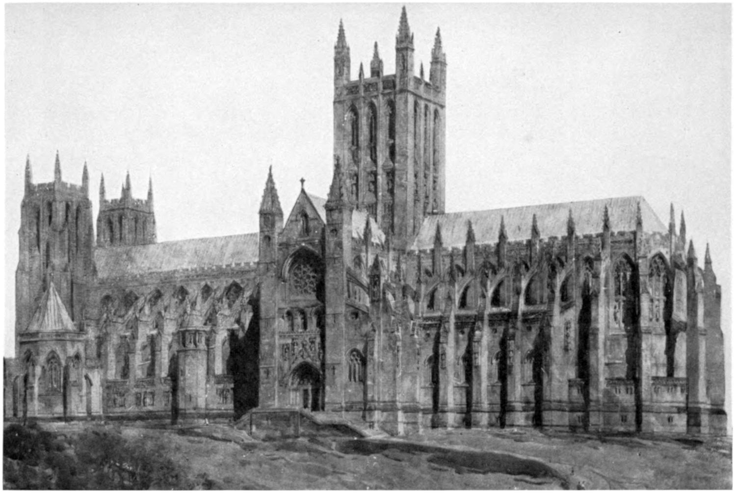
WASHINGTON CATHEDRAL
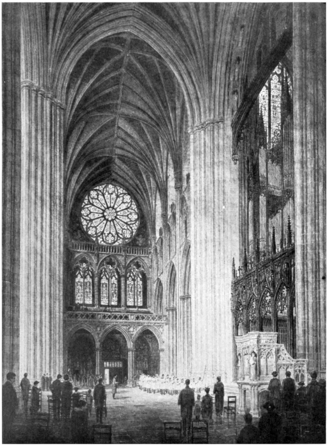
WASHINGTON CATHEDRAL
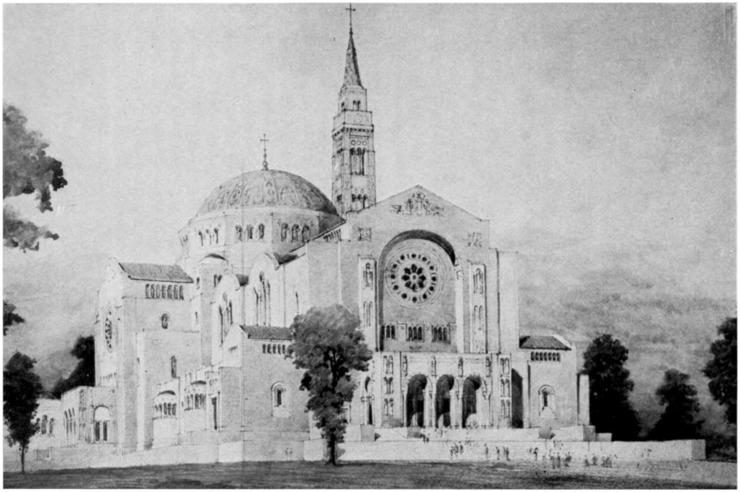
NATIONAL SHRINE OF THE IMMACULATE CONCEPTION
The building is constructed of limestone. The sculpture and beautifully
stained glass windows form the principal decorations.
The total length of the building from the exterior of the apse at the eastern end
to the main entrance at the western end will be 534 feet. The total spread of
the transepts will be 215 feet, and each of these arms of the cross will be 105 feet
wide. The ground area of the cathedral will be 71,000 square feet, and this
will be ample to provide standing room for 27,000 persons or seating space for
7,500. The central tower will rise to a height of 262 feet and each of the two
western towers will be 195 feet high. The nave will have a span of 40 feet and
its height will be 95 feet.
Within the cathedral are buried Woodrow Wilson, our World War President;
also Admiral George Dewey, General Nelson A. Miles, and several bishops of
the Episcopal Church.
The grounds comprise 67 acres, and the carefully designed Bishop’s Garden
forms an interesting feature. The National Cathedral School for Girls and for
Boys and the College of Preachers are within the grounds.
This cathedral has been designed in the Roman-Byzantine style of architecture.
It is located on Michigan Avenue, Brookland, in the Catholic University
grounds. The cornerstone for the church was laid in 1920. It is estimated that
the total cost will be $50,000,000. The architects are Maginnis & Walsh, of
Boston, and Professor Frederick V. Murphy, architect, of Washington.
The building as designed is cruciform in plan, with a triple apse, at the focus
of which is placed the central altar within a great baldachin. The apse is of vast
scale and, with the presbytery that separates it from the transepts, will admit of
important ceremonies. The dome will be 250 feet high; the tall campanile, or
bell tower, 330 feet high. The building is to take its place with such notable
memorials as Santa Maria Maggiore, of Rome, and Santa Maria del Fiore, of
Florence. It is to stand as a symbol of American Catholic devotion to the Virgin
Mary. The availability of the Byzantine tradition for the rendering of this idea
was readily perceived. The crypt, capable of seating approximately 1,500 persons,
has been completed. Here a most interesting decorative scheme in terms
of faïence has been introduced to enrich the effect of the vaults. The central altar
is of Algerian onyx. The pavement is of Italian marble. The crypt is richly
treated with still other marbles and with mosaics.
There is no city in the country that has so many representative churches as
the city of Washington, which is undoubtedly due to the fact that this is the
National Capital. The leading denominations of the country, recognizing the
importance of religion in the life of the Nation, have erected or are raising funds
for the erection of great edifices, including memorial churches, fittingly to represent
them at the seat of government.
In chapter XX attention has already been directed to the earliest churches in
Washington.
Among the notable buildings in the National Capital that have had a distinguished
place since the early days of the Republic are the residences, embassies,
and legations of the representatives from foreign countries. At the present time
there are 53, representing the leading countries of the world.
The legation and embassy buildings are held territory of the respective countries
to which they belong, and fly the flag of their respective nations, excepting on
state occasions, when they fly both their own flag and that of the United States.
L’Enfant, in his plan of the city, contemplated diplomatic buildings to line the
Mall. But as the Mall was delayed in its development for over a century, the
museum type of building has been erected on the Mall and the diplomatic establishments
located elsewhere. In later years the suggestion was offered to locate
them in the vicinity of the State Department.
At the present time the embassies and legations are located, for the most part,
in the residential section of northwest Washington. Quite a number are on Sixteenth
Street in the vicinity of Meridian Hill Park. In more recent years several
of the leading countries have built new embassies on spacious grounds. In this
Great Britain has taken the lead, having built a large embassy on 4 acres of
ground at 3100 Massachusetts Avenue, near the Naval Observatory. Three
blocks beyond, the Norwegian Legation building has recently been completed.
In recent years the Imperial Japanese Government built a new embassy at 2514
Massachusetts Avenue. The French Government recently purchased the home
of John Hays Hammond for its new embassy.
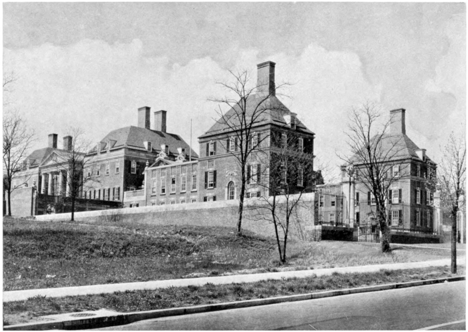
BRITISH EMBASSY
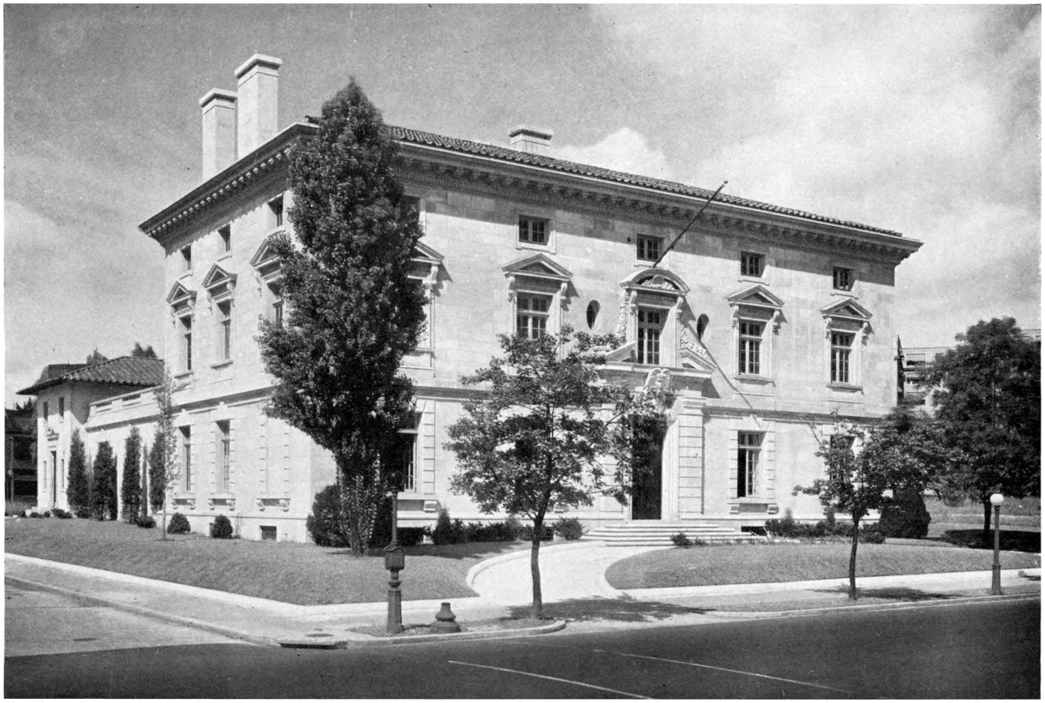
ITALIAN EMBASSY
A list of the countries having embassies and legations in Washington (with
the exception of Estonia, whose representative is located in New York City) is
as follows:
- Albania: The Mayflower Hotel.
- Argentina: 1806 Corcoran Street.
- Belgium: 1777 Massachusetts Avenue.
- Bolivia: Fifteenth and K Streets.
- Brazil: 3007 Whitehaven Street.
- Bulgaria: 2881 Woodland Drive.
- Canada: 1746 Massachusetts Avenue.
- Chile: 2154 Florida Avenue.
- China: 2001 Nineteenth Street.
- Colombia: 1520 Twentieth Street.
- Costa Rica: 2128 Bancroft Place.
- Cuba: 2630 Sixteenth Street.
- Czechoslovakia: 2349 Massachusetts Avenue.
- Denmark: 1868 Columbia Road.
- Dominican Republic: 2633 Sixteenth Street.
- Ecuador: Barr Building.
- Egypt: 2301 Massachusetts Avenue.
- El Salvador: 2400 Sixteenth Street.
- Estonia: Rockefeller Plaza, New York City.
- Finland: 2416 Tracy Place.
- France, Chancery: 1601 V Street.
- Germany: 1439 Massachusetts Avenue.
- Great Britain: 3100 Massachusetts Avenue.
- Greece: 2221 Massachusetts Avenue.
- Guatemala: 1614 Eighteenth Street.
- Haiti: 5017 Sixteenth Street.
- Honduras: 2611 Woodley Place.
- Hungary: 1424 Sixteenth Street.
- Ireland: 2310 Tracy Place.
- Italy: 2700 Sixteenth Street.
- Japan: 2514 Massachusetts Avenue.
- Latvia: 1715 Twenty-second Street.
- Lithuania: 2622 Sixteenth Street.
- Mexico: 2829 Sixteenth Street.
- Netherlands: 1470 Euclid Street.
- Nicaragua: 1521 New Hampshire Avenue.
- Norway: 3401 Massachusetts Avenue.
- Panama: 1536 Eighteenth Street.
- Paraguay: Wardman Park Hotel.
- Peru: 1300 Sixteenth Street.
- Poland: 2640 Sixteenth Street.
- Portugal: Wardman Park Hotel.
- Rumania: 1601 Twenty-third Street.
- Siam: 2300 Kalorama Road.
- Spain: 2801 Sixteenth Street.
- Sweden: 2247 R Street.
- Switzerland: 2419 Massachusetts Avenue.
- Turkey: 1606 Twenty-third Street.
- Union of South Africa: 3101 Massachusetts Avenue.
- Union of Soviet Socialist Republics: 1125 Sixteenth Street.
- Uruguay: 1010 Vermont Avenue.
- Venezuela: 2400 Sixteenth Street.
- Yugoslavia: 1520 Sixteenth Street.
Chapter XXII THE PUBLIC-BUILDINGS PROGRAM — NEW BUILDINGS NECESSARY — PLANS AS DEVELOPED — PENNSYLVANIA AVENUE — TRIANGLE DEVELOPMENT — ENLARGEMENT OF THE CAPITOL GROUNDS AND UNION STATION PLAZA DEVELOPMENT — UNITED STATES SUPREME COURT BUILDING — HOMES OF THE SUPREME COURT OF THE UNITED STATES
As a result of the World War, Government departments in Washington
became overcrowded, and from 30,000 to 40,000 employees were housed in
temporary buildings. This congested situation made a public-building program
one of urgent need. For 40 years no real department building had been erected
in Washington. The Department of Agriculture was in 47 rented buildings.
The Department of War and the Department of the Navy were housed in
many temporary war buildings.
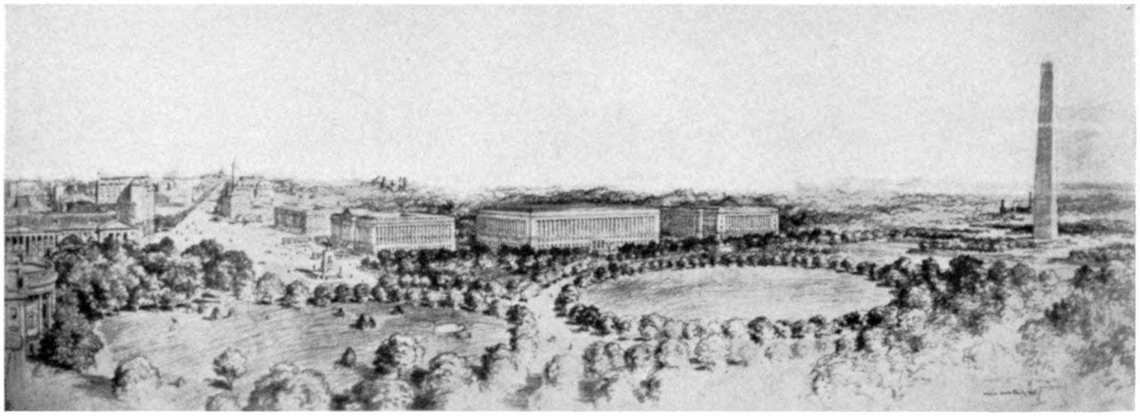
PLAN OF 1910 FOR DEVELOPING SOUTH SIDE OF PENNSYLVANIA AVENUE
In 1910 plans were authorized for three department buildings—Justice, Commerce
and Labor, and State—to be built along Fifteenth Street, between Pennsylvania
Avenue and B Street NW., now Constitution Avenue, and the land in this
locality was bought by the Government, but the building project was deferred.
Again, in 1913, Congress took up the question of a public-building program, and
in 1917 a comprehensive survey was made by the Public Buildings Commission of
the needs of the Government for additional buildings. At that time the area south
of Pennsylvania Avenue along Fifteenth Street to Constitution Avenue, which in
1910 was proposed for three buildings, was designated for two buildings. Then
came the World War, during which the many temporary war buildings were
erected. President Coolidge in his message to Congress on December 9, 1925,
called attention to the great need for public buildings and asked for an annual
appropriation of $10,000,000. He said:
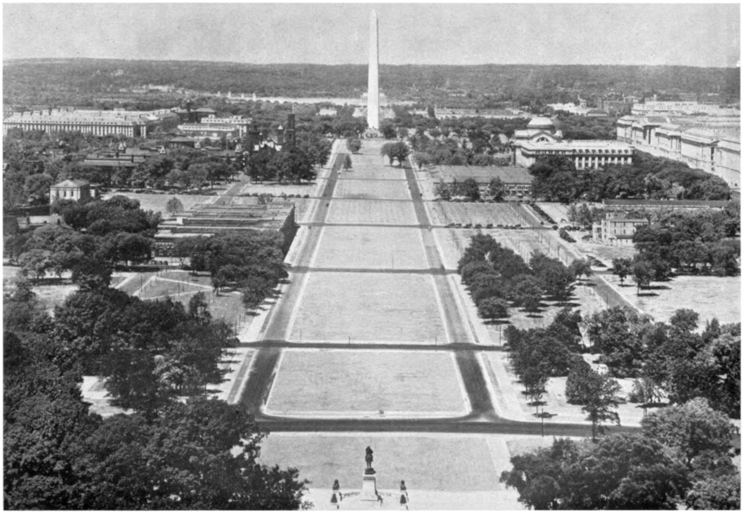
VIEW OF THE MALL FROM THE CAPITOL DOME, LOOKING WEST
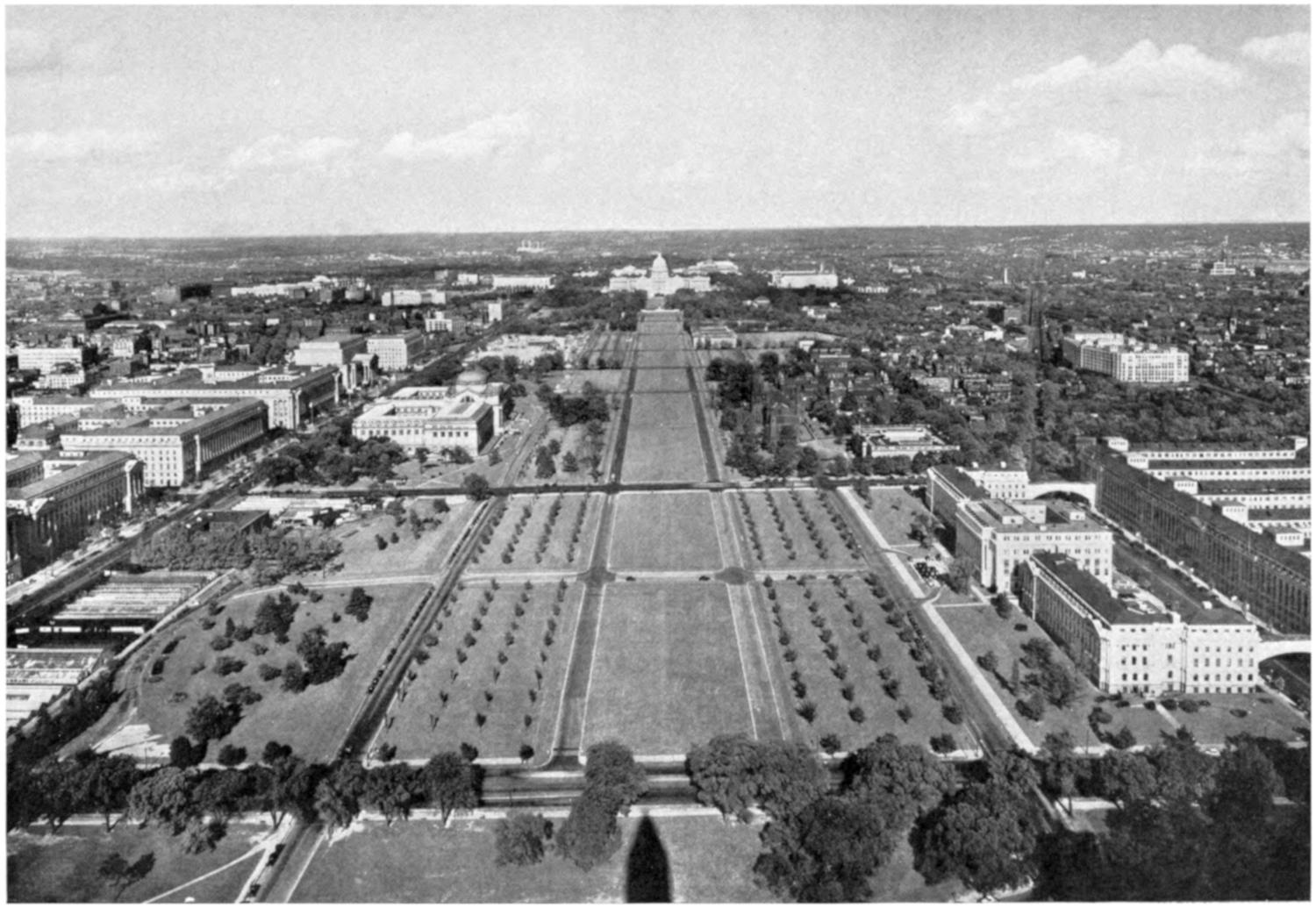
VIEW OF THE MALL FROM THE WASHINGTON MONUMENT, LOOKING EAST
No public buildings bill has been enacted since before the war. I am not in favor of an act
which would be characterized as a general parceling out of favors and that usually bears a name
lacking in good repute. I am ready to approve an act similar in character to that already passed by
the House, providing a lump-sum appropriation to be expended under the direction of the Treasury
or any other proper authority, over a term of years, with such annual appropriation as the national
finances could provide.
The public buildings act was approved May 25, 1926.
This marked the beginning of a public-buildings program in the National Capital
greater than any which had been undertaken by the United States since the
establishment of the seat of government along the banks of the Potomac in 1790.
Congress placed the public-buildings program in the hands of the Secretary of
the Treasury, both for Federal buildings in the States and for the District of Columbia.
To assist him in the plans for new public buildings here in the National
Capital the Secretary of the Treasury appointed a board of architectural consultants.
The Commission of Fine Arts has been called upon regularly to advise in
the development of the plans for the new public buildings.
Five years had not yet elapsed when the long pent-up needs for buildings to
accommodate public business finally burst their bonds in the act of 1926. The
preparations for the flood had been long in the making—so long and so carefully
considered, indeed, that the flood has always been under control. There has been
no haphazard planning. No hasty or ill-considered work has been done. The
harmonious development of the National Capital has progressed in form that
would have pleased George Washington, and latterly with a speed and vigor that
would have gladdened his heart.
In addition to the great public-buildings program and the Arlington Memorial
Bridge, Congress authorized during the past ten years many other great projects
for the development of the National Capital which contribute to making Washington
the greatest and most beautiful national capital in the world. Among
these are: The completion of the Tomb of the Unknown Soldier at Arlington, the
restoration of Arlington Mansion, the Mount Vernon Highway, the George
Washington Memorial Parkway, the enlargement of the Capitol Grounds and
development of Union Station Plaza, development of the Mall, addition to the
House Office Building, addition to the Library of Congress, United States
Supreme Court Building, Government Printing Office extension, Social Security
Building, War Department Building, Navy Department Building, new Naval
Hospital, Municipal Center development, Walter Reed General Hospital buildings,
Botanic Garden and new conservatory near the Capitol, and a National
Arboretum.
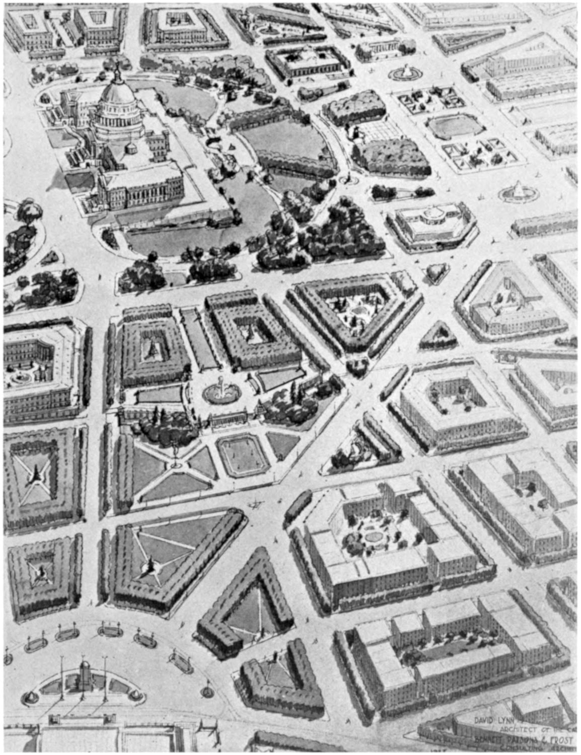
TREATMENT OF THE CAPITOL GROUNDS
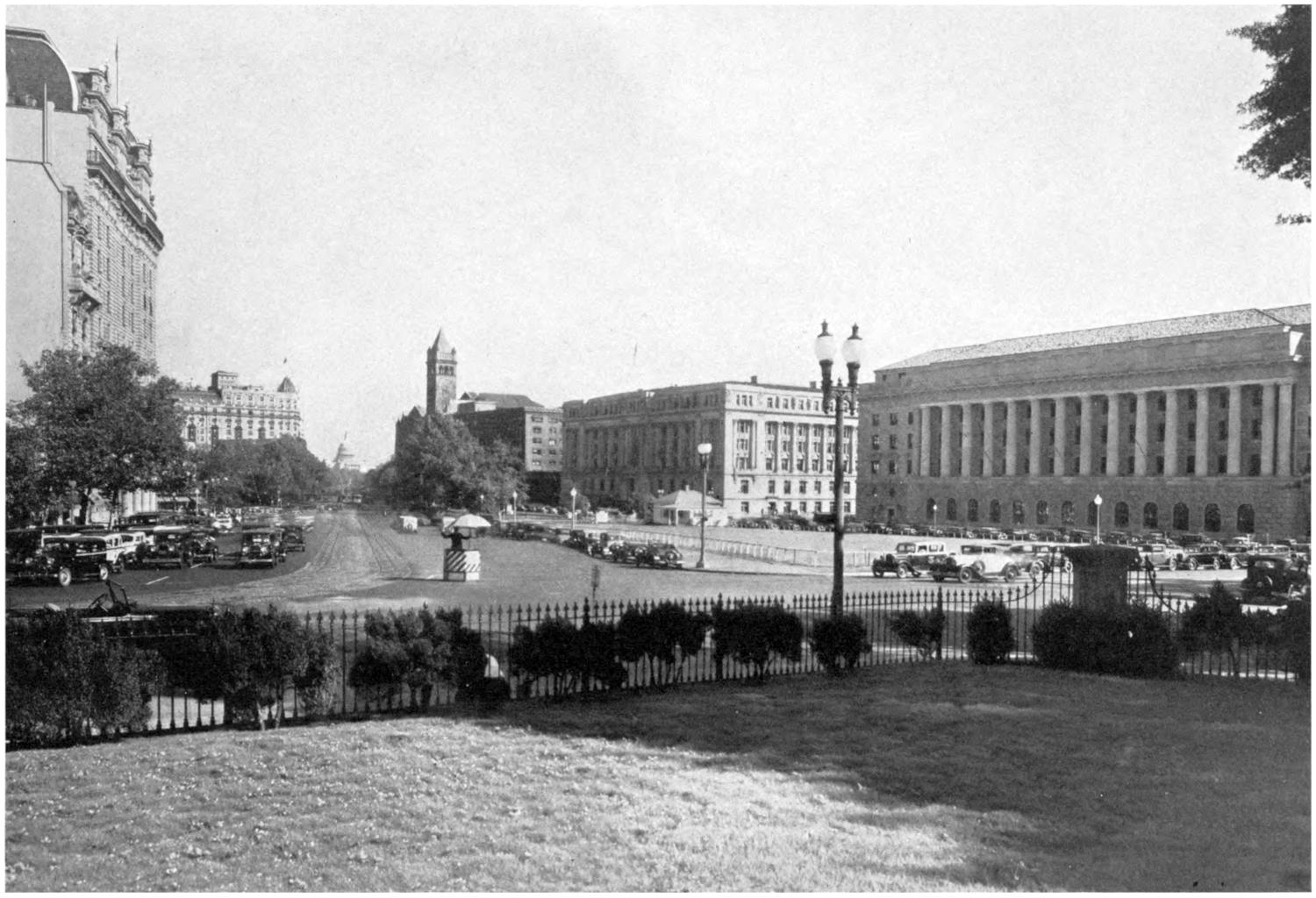
PENNSYLVANIA AVENUE BETWEEN THE TREASURY AND THE CAPITOL
Pennsylvania Avenue is the great historic avenue of the Nation, particularly
that portion between the legislative and executive branches of the Government—the
Capitol and the White House—extending a distance of 1 mile. It was named
by Congress at the time the plan of Washington was under consideration, in
compliment to the State of Pennsylvania. In the time of Thomas Jefferson it was
a dusty highway, and to add beauty to it he planted quick-growing poplar trees.
Being about at sea level in elevation, it was the scene of rowboats in times of flood
as late as the year 1880. Several large department stores of the city to-day had
their beginning on the Avenue. The Evening Star has been published there for
about 89 years; its home, remodeled from time to time, to-day is a large and beautiful
building.
Since the L’Enfant plan provided for giving Pennsylvania Avenue a conspicuous
place in the development of the National Capital, Congress decided, by the
public buildings act of May 25, 1926, that the necessary land on the south side of
the Avenue from the Capitol to the Treasury should be purchased by the Government
and monumental buildings erected thereon. In the House of Representatives
the bill was sponsored by Congressman Richard N. Elliott. As Chairman
of the Committee on Public Buildings and Grounds, he had a very prominent
part in furthering the legislation for the public buildings program of the National
Capital and also for the country at large. More public buildings were authorized
during the Sixty-ninth and Seventieth Congresses (1925-1929) than in all the
preceding Congresses. In the United States Senate the public buildings program
was sponsored by Senator Bert N. Fernald and after his death in 1926 by Senator
Henry W. Keyes, Chairman of the Committee on Public Buildings and Grounds
of the Senate. This is the Triangle Plan, which is now being carried out. In due
time it is expected also that the north side will be developed to correspond to the
south side. However, several buildings now there may be considered as established
for decades to come.
Here at Pennsylvania Avenue, connecting the Capitol and the White House,
we are at the heart of the Nation. It is the Via Sacra of the great Republic of the
New World.
On September 5, 1931, at the ground-breaking ceremony for the Archives
Building, at Pennsylvania Avenue and Seventh Street, Hon. Ferry K. Heath,
Assistant Secretary of the Treasury, who was in immediate charge of the public-buildings
program, said: “The story of the traffic and parades of this great
Avenue would be an outline of the history of the United States.”
The act for enlarging the Capitol Grounds, and the municipal center development
on the north side of the Avenue, gives the Government control from the
Capitol to Sixth Street.
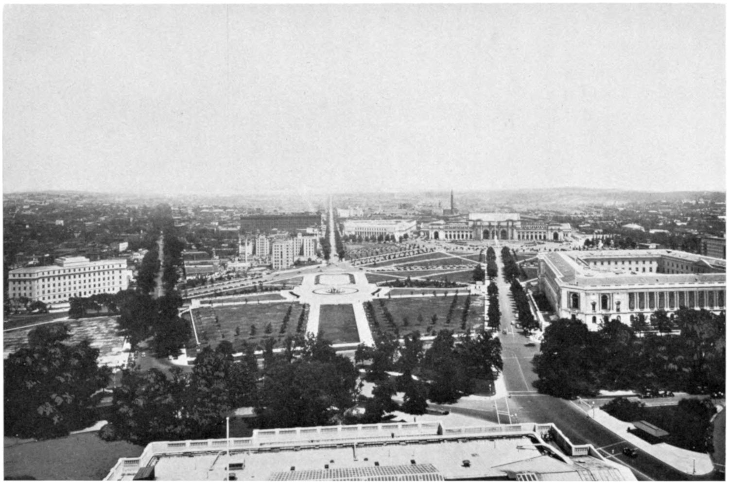
UNION STATION AND PLAZA, LOOKING NORTH FROM THE DOME OF THE CAPITOL
Upon the adoption of the public buildings act of May 25, 1926, Hon. Andrew
W. Mellon, Secretary of the Treasury, took up with the Public Buildings Commission,
and the executive departments that were in immediate need of new
buildings, the project to place the building program under way. Secretary
Mellon authorized the preparation of a tentative study for new public buildings,
and after an interval of a few months sketches were submitted to him for a series
of buildings monumental in character and intended for the most part for locations
south of Pennsylvania Avenue. The greater part of the Triangle development
has been completed.
An important feature of the McMillan Park Commission plan of 1901 was
the creation of a series of “Congress Gardens” on the north side of the Capitol.
For many years this project was held in abeyance pending the completion of the
purchase of lands. The development necessitated the purchase of 12 squares and
laying out a plan for this long-neglected area at the entrance to the city. The
plan also provided for a new avenue to extend from Union Station to Pennsylvania
Avenue, and street cars are routed accordingly.
In addition to the landscape features, the plan, which was designed by Bennett,
Parsons & Frost, architects of Chicago, provided for a terrace upon which
is located a fountain and also a large basin, which reflects the Dome of the Capitol.
To harmonize with this plan, a new approach to the northwest corner of the
Senate Office Building has been built.
The temporary war buildings and Government hotels, which stood on the
grounds a whole decade after the World War, have been removed, and the work
of developing the plan was carried forward as rapidly as possible under the direction
of David Lynn, Architect of the Capitol.
Through this plan the United States Capitol is given the appropriate landscape
setting which, as the most important building in this country, it should
have. The plan joins the plan for the Mall, giving the Capitol the open approach
from the west and embellishing Union Square at the head of the Mall.
The United States Supreme Court Building is in classic style, in harmony
with the architecture of the Capitol and adjacent buildings, and is located in the
square east of the Capitol, north of the Library of Congress, and facing the
United States Senate Chamber.
The building, 385 feet from east to west and 305 feet from north to south,
has four open courtyards 64 feet square. The portico is of the Corinthian order,
and there is a low pilaster treatment around the building.
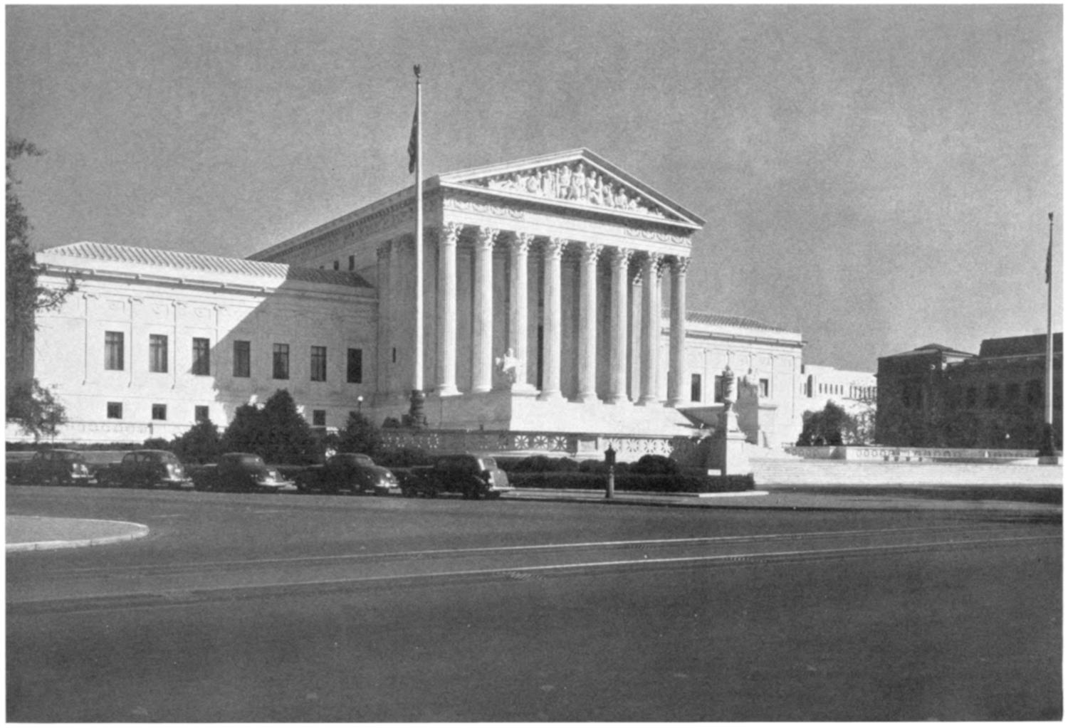
Photograph by Commercial Photo Co.
THE UNITED STATES SUPREME COURT BUILDING
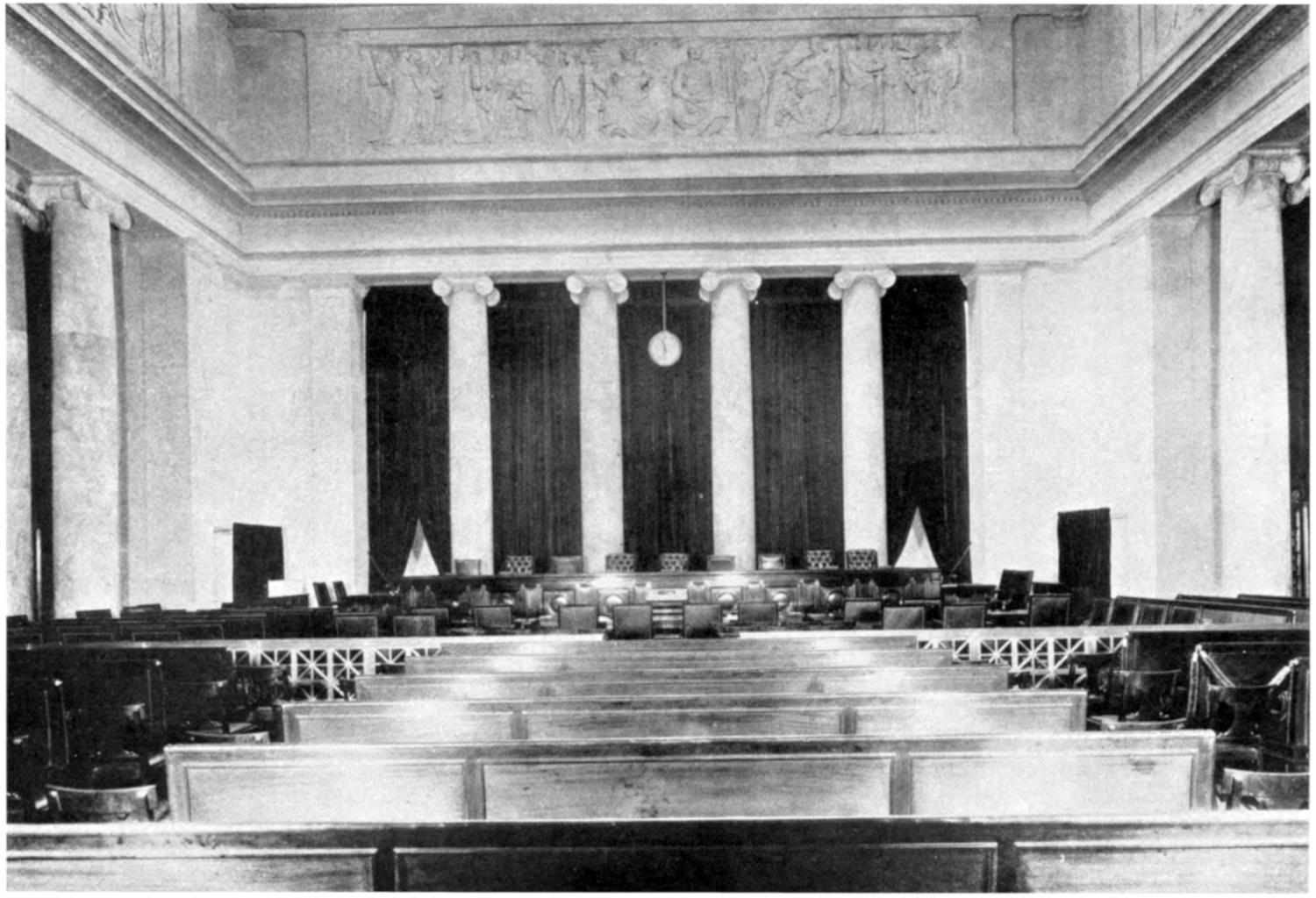
THE UNITED STATES SUPREME COURT CHAMBER
FRIEZE BY A. A. WEINMAN, SCULPTOR
General designs were prepared, and then, to unify every part of the design, a
model was made which was publicly exhibited in the Rotunda of the Capitol
for a number of months.
The Supreme Court Chamber is placed on the main axis of the plan. It is
characterized by appropriate simplicity and quiet dignity. It is classical in style,
82 feet by 91 feet square in its extreme dimensions, about 64 feet square inside
the columns, and 45 feet high from floor to ceiling.
The second floor contains a law library and rooms for members of the bar
and conference rooms.
The third floor contains a law library and reading room. The justices’ rooms
are on the first floor, convenient to the court room.
A number of rooms for the use of lawyers are provided in the second story.
Two large conference rooms are provided on the main floor, and on this floor also
rooms are provided for the Attorney General, the Solicitor General, the clerk of
the Supreme Court, and the marshal. Convenient rooms and special telephone
booths have been provided for the press.
The appropriation for the building authorized by Congress was $9,740,000.
The building was designed by Cass Gilbert, architect, and the erection was
under the charge of the Supreme Court Building Commission, Chief Justice
Charles Evans Hughes, chairman. David Lynn, Architect of the Capitol, a
member of the commission, was the contracting officer.
The Supreme Court of the United States is the major tribunal of one of three
coordinate branches of the Government—the judicial. During the 148 years of
its existence the Supreme Court has sat in eight different places, always in or
near the Capitol or place of meeting of the legislative body. Thus it met, first, in
New York; second, in Independence Hall, Philadelphia; third, in the basement
of the Capitol, where it was when the British burned the Capitol in 1814; fourth,
while the Capitol was being rebuilt the Supreme Court occupied the residence of
the clerk of the court; fifth, when the Capitol wings were built it moved into its
former chamber; sixth, when driven out by an explosion and fire in 1898 it occupied
the committee room of the Senate Committee on the District of Columbia, of
which Senator McMillan was chairman, and also sat for a brief period in the
Judiciary Committee Room.
It then moved back into what was the old Senate Chamber until 1859 which
was designed by Benjamin Latrobe, after the model of a Greek theater, a semicircular
hall with a low-domed ceiling. It is historic. Here Webster replied to
Hayne; here Calhoun debated with Clay and Webster; and in it the Electoral
Commission sat which decided the presidential contest between Hayes and Tilden
in 1877.
Chapter XXIII THE GOVERNMENT OF THE DISTRICT OF COLUMBIA
The first Government of the District of Columbia consisted of three Commissioners
appointed by the President of the United States. Then 21 mayors
served from 1802 to 1871.
A Territorial form of government, consisting of a governor, a board of public
works, and a legislative assembly, was provided for by an act of Congress of
February 21, 1871. The legislative assembly consisted of 11 members, called a
council, and 22 other members, called a house of delegates. The District also
had a Delegate in the House of Representatives of the United States. The governor
and the board of public works were appointed by the President of the United
States, and the legislative assembly was elected by the people. This form of
government lasted three years, until June 20, 1874, when Congress provided
that the District should be governed by three commissioners, appointed by the
President. This was known as the temporary form of government and lasted
until June 30, 1878.
Thereupon the Congress, by an act approved June 11, 1878, created the
present form of government of the District of Columbia, to become effective July
1, 1878. By this act the District was created a municipal corporation with right
to sue and be sued.
The act provided for the appointment of three commissioners, two of them to
be selected by the President from persons residing in the District of Columbia for
a period of three years preceding their appointment. The third member was to
be an officer of the Engineer Corps, United States Army, detailed by the President,
and to be known as the engineer commissioner. The appointments of the
civilian commissioners are for a period of three years, or until their successors are
appointed. The detail of the engineer commissioner is at the pleasure of the
President. This detail is usually about four years.
While the District has a municipal form of government, Congress, by various
statutory enactments, has treated it as a branch of the United States Government
by including it in legislation applying to the executive departments, such as the
budget and accounting act, the act classifying the salaries of Federal employees,
and the act providing for retirement of Federal employees.
In the act of June 11, 1878, it was provided that the expenses of the government
of the District should be borne 50 per cent by the United States Government
and 50 per cent from the revenues of the District of
Columbia, raised by taxation.
This method of financing remained in force from 1878 until 1920. In that year the
proportionate expense was changed by Congress so that 60 per cent of the expenditures
was raised by taxation and 40 per cent was contributed by the Federal Government.
This provision continued in force until the year 1925, when Congress
determined on a lump-sum contribution of $9,000,000 annually, the balance of
the expenses to be raised by taxation; the amounts of money appropriated have
varied since then.
The heads of the various departments make recommendations to the commissioner
in charge of their respective departments, and each commissioner brings
these recommendations to meetings of the board of commissioners, which are
held on Tuesday and Friday of each week. The secretary to the board of commissioners
records the action on these recommendations and acts as executive
officer of the board by issuing orders and carrying on correspondence.
Not all of the municipal duties are, however, vested in the board of commissioners.
The management of the public schools is vested in a school board of
nine members appointed by the justices of the Supreme Court of the District of
Columbia. The Public Library, with its branches, is managed by a board of trustees
appointed by the board of commissioners. The penal, charitable, and correctional
institutions are managed by a board of public welfare appointed by the
commissioners. The public utilities are under a public-utilities commission, consisting
of two civilians, appointed by the President, and the engineer commissioner,
who is a member ex officio. The public parks are under the jurisdiction of
the Department of the Interior, which is also in charge of public buildings and
grounds. The water supply is under an Army engineer officer, designated
the district engineer, but the distribution of the water is under the jurisdiction
of the commissioners. The zoning of private property as to height of building,
use of building, area of ground to be built upon, is handled by a zoning commission,
of which the three commissioners are members and, in addition thereto, the
Architect of the Capitol and the Director of the National Park Service.
The justices of the Supreme Court of the District of Columbia and the judges
of the police, municipal, and juvenile courts are appointed by the President, as is
also the recorder of deeds.
The National Capital Park and Planning Commission has been created by
Congress to advise the commissioners as to the planning of the city in laying out
new and changing old highways. This commission purchases all land for parks
and playgrounds. The land so purchased for parks is placed under the Department
of the Interior and the land for playgrounds under the commissioners.
All expenditures for municipal purposes, including the schools, parks, water
supply, land purchases, etc., are appropriated by Congress annually, and are
based upon estimates submitted by the heads of the District government and
the other officials hereinbefore named.
These estimates are submitted by the Commissioners to the Director of the
Budget, a Federal official, and when approved are submitted by the President to
Congress, together with the estimates of the Federal Government. Before submitting
such estimates the Commissioners fix upon a tax rate which they believe
should not be exceeded. This tax rate is such that, when applied to the taxable
value of real, personal, and intangible property in the District of Columbia, it
will raise the funds necessary to meet the estimates of the appropriations submitted
to the Director of the Budget. The present rate of taxation for real and
personal property is $1.75 per $100, based on full value. For intangible personal
property, such as money in bank, stocks and bonds, etc., the rate is $5 per thousand.
For the fiscal year ended June 30, 1938, the assessed value of land in the
District of Columbia was $480,473,718, and of improvements $713,025,368, a
total of $1,193,499,086.
The assessed value of tangible personal property for the same year was
$81,566,107. The value of intangible personal property was $575,472,070.
The budget estimate as submitted by the President to Congress each year is
reviewed by subcommittees of the Appropriations Committees of the House and
Senate, and the total amount of the Appropriation is fixed by Congress and
approved by the President.
Under the provisions of the Constitution, all legislation affecting the District
of Columbia must be passed by Congress. The advice of the Commissioners is
usually sought before such legislation is enacted.
What has been stated is but a brief outline of the government of the District
of Columbia. It can readily be seen that the District has a dual status as a municipal
corporation and as a branch of the Federal Government. This situation has
no parallel in any other city of the United States. The District is also unique
in having no bonded debt. All of its expenses are borne from current revenues.
The residents of the District of Columbia do not enjoy the privilege and obligation
of suffrage. On the question of whether the people should be allowed to
vote in national elections and in local elections there is a division of opinion.
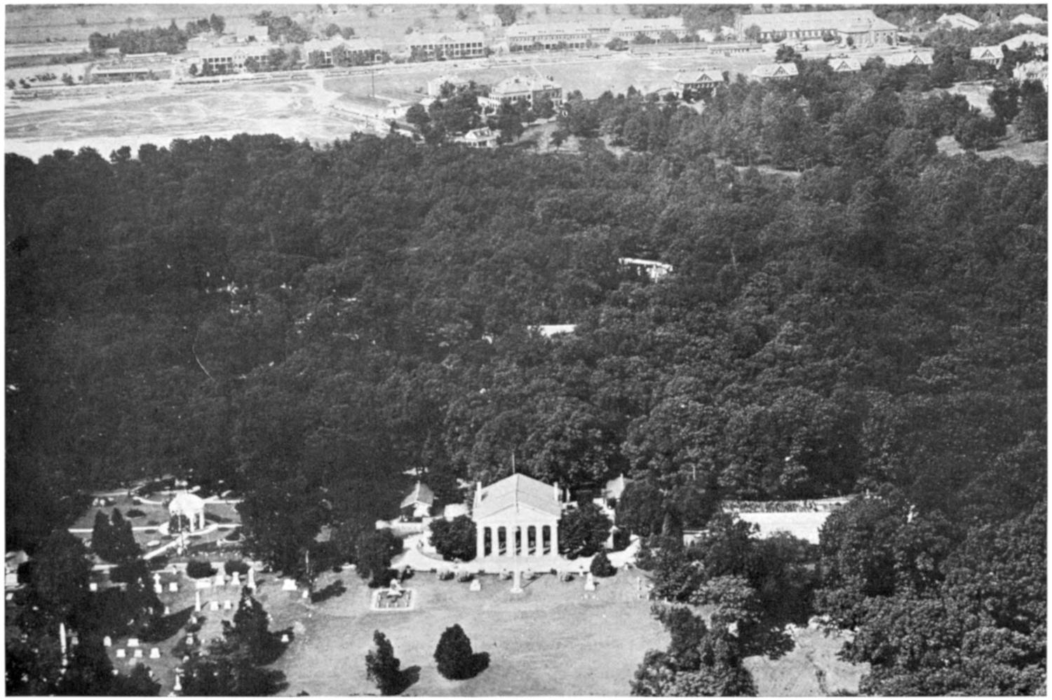
ARLINGTON CEMETERY, ARLINGTON MANSION, AND FORT MYER
Chapter XXIV ARLINGTON NATIONAL CEMETERY — HISTORY OF ARLINGTON — ARLINGTON AS A NATIONAL CEMETERY — ARLINGTON MEMORIAL AMPHITHEATER — TOMB OF THE UNKNOWN SOLDIER
The land comprising the Arlington estate, 1,100 acres, was sold by Gerard
Alexander to John Parke Custis in December, 1778, for a consideration of £11,000
Virginia currency. John Parke Custis never lived at Arlington, and on his death
in 1781 his son, George Washington Parke Custis, inherited the Arlington estate.
Mr. Custis lived at Mount Vernon, however, until after the death of
Martha Washington, which occurred on May 22, 1802. He then took possession
of the tract, changed the name to Arlington, after an old family seat on the
eastern shore of Virginia. While he was building the mansion he lived in a
small cottage on the Potomac. The two wings were built first. The central
portion of the house, with its massive columns, is said to have been built from
plans drawn by George Hadfield, an English architect, who came to this country
with the intention of designing the new Capitol. The date when the mansion
was completed is uncertain, but Mrs. Robert E. Lee is authority for the statement
that it was completed just before the Civil War. The family lived in the
wings for many years.
In 1804 Mr. Custis married Mary Lee Fitzhugh, daughter of William Fitzhugh,
of Chatham, at Alexandria, Va. To this union four children were born,
but only one, Mary Ann Randolph Custis (born October 1, 1808), lived. On
June 30, 1831, she became the wife of Lieut. Robert E. Lee. Upon the death of
her father, in 1857, title to the estate passed to Mrs. Lee.
On May 24, 1861, Union troops occupied Arlington, and it soon became
an armed camp. Under an act of Congress passed June 17, 1862, certain commissioners
of the Government were appointed to levy and collect taxes in Virginia
and elsewhere; and if default in payment was made, to sell the real estate
upon which the taxes were levied. Prior to January, 1864, the commissioners had
adopted a rule by which payment of taxes in the district where the Arlington
property was located would not be accepted unless tendered by the owner in
person. Mrs. Lee could not comply with this rule, so she sent a cousin, Mr.
Fendall, to pay the taxes. The money was refused, and he was informed that
Mrs. Lee must be present in person.
On January 11, 1864, there was due only the sum of $92.07 on the 1,100 acres
of the Arlington estate, together with a 50 per cent penalty, when the property
was sold “according to law,” as stated in the tax certificate. The United States
acquired title to the property at public auction by the payment of $26,000.
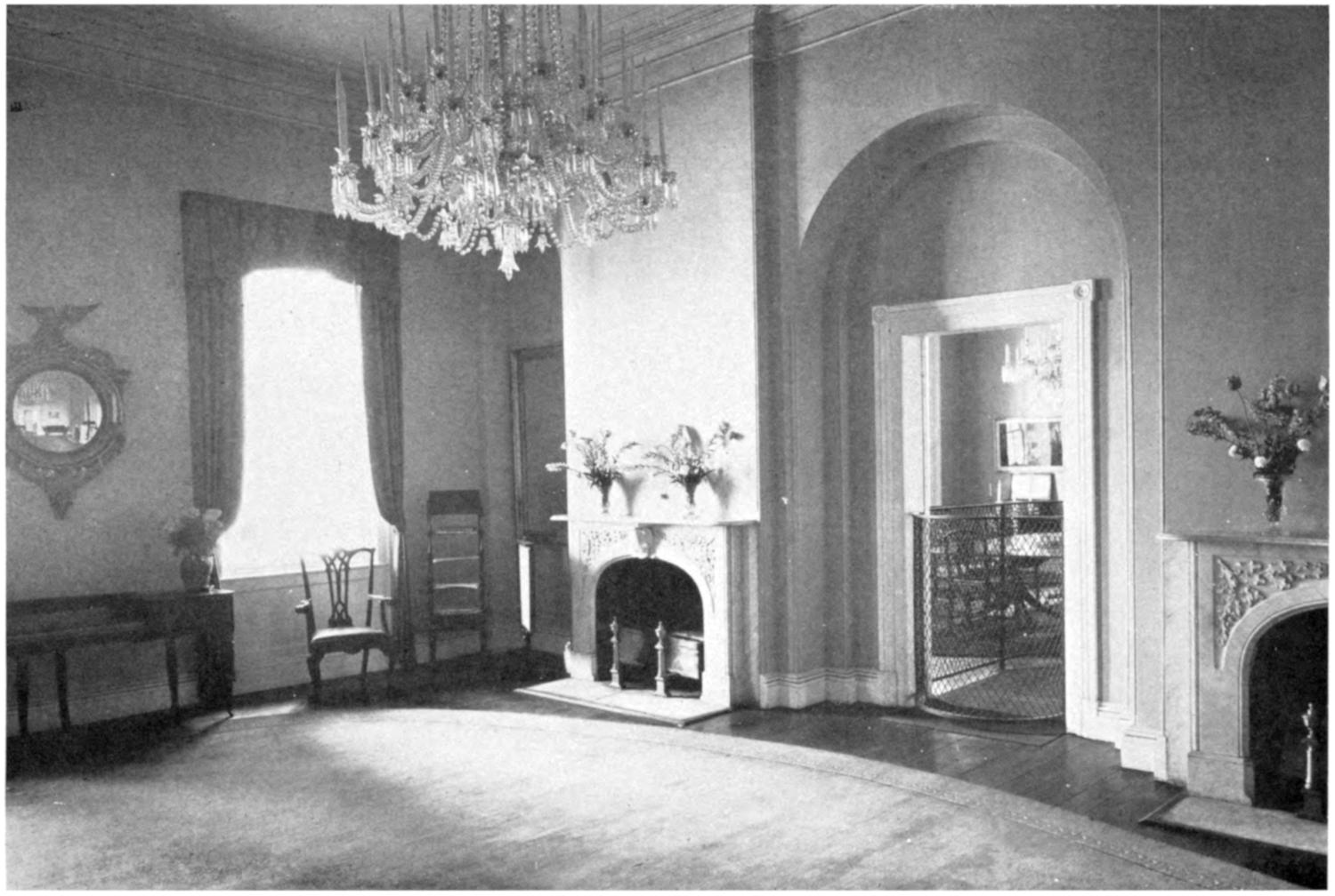
ARLINGTON MANSION—RECEPTION HALL
Upon the death of Mrs. Lee, in 1873, her eldest son, George Washington Custis
Lee, according to the will of his grandfather, George Washington Parke Custis,
became entitled to the Arlington estate. He at once took steps looking to the
recovery of the property. After petitioning Congress in vain, he began suit in
ejectment in 1877 at Alexandria, Va. In 1879 the United States Circuit Court
for the Eastern District of Virginia decided he was entitled to the estate and
that the United States did not have lawful title. The Department of Justice
carried the case to the United States Supreme Court, which decided that the
property belonged to Mr. Lee. The United States was thus faced with the
question of whether to disinter the remains of thousands of soldiers and sailors
and vacate the property, part of which had become a military post, or purchase
the same. However, Mr. Lee was willing to sell Arlington for $150,000. On
March 3, 1883, the Forty-seventh Congress appropriated the necessary money,
and on March 31 Mr. Lee executed a deed which conveyed the title to the
United States. The deed was recorded at the Alexandria County Courthouse on
the 14th day of May, 1883, just 22 years, less 10 days, from the day, May 24, 1861,
when General Scott’s soldiers crossed the Potomac River and took possession.
Mary Randolph, wife of David Meade Randolph, and a relative of the Custis
family, is the first person known to have been buried at Arlington. In April,
1853, Mrs. Custis, wife of the owner of the estate, George Washington Parke
Custis, died and was laid to rest in a little plot of ground beneath huge oaks not
far from the mansion house. The master of Arlington died on October 10, 1857,
and was laid beside his wife. To-day their graves may be seen, surmounted by
simple marble shafts, within an iron-fenced inclosure, where lilies-of-the-valley
cover the ground in profusion. The Quartermaster General’s Department has
recently erected a marker beside the grave of Mrs. Randolph, giving a short history
of her life.
Gen. Montgomery C. Meigs, Quartermaster Corps, United States Army, was
the first to suggest to President Lincoln that the estate be converted into a military
cemetery, and in 1864, by order of Secretary of War Stanton, 200 acres were
set apart and dedicated as a national cemetery for the burial of Union soldiers
and sailors. However, the first man to be buried there was a Confederate soldier
who died in the hospital May 13, 1864.
There are buried in Arlington a small number of those who fought in the Revolutionary
War and some who were in the War of 1812. Their remains were
removed to Arlington from an abandoned cemetery in 1892. Thousands of men
who died in the Civil War are buried there, with veterans of the Spanish-American
War and the Philippine campaign, and now the veterans of the World
War are steadily being added to the number.
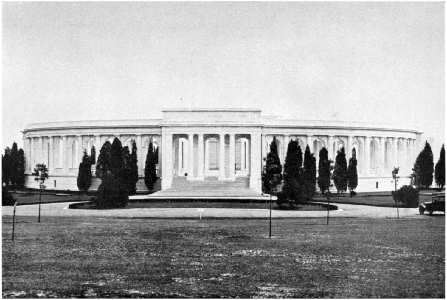
ARLINGTON NATIONAL CEMETERY—MEMORIAL AMPHITHEATER
In front of Arlington House is the tomb of Maj. Pierre Charles L’Enfant,
engineer, artist, and soldier, who, under the direction of President Washington
and Thomas Jefferson, designed the plans for the city of Washington.
On May 5, 1868, Gen. John A. Logan, commander in chief of the Grand Army
of the Republic, issued the following general order (No. 11):
The 30th of May, 1868, is designated for the purpose of strewing with flowers or otherwise
decorating the graves of comrades who died in defense of their country, * * * posts and comrades
will, in their own way, arrange such fitting services and testimonials of respect as circumstances
may permit.
There has been an annual observance of this ceremony in all the national
cemeteries of the country since this order was promulgated.
For years a vine-covered pergola, erected by the Quartermaster’s Department
of the Army, was used for the Memorial Day exercises. When it was found to
be entirely inadequate to accommodate the increasing number of people who
attended the exercises, it was decided to erect a suitable building which would
serve not only as a memorial to our soldiers and sailors but which would also
provide an assembly place for those attending such exercises as might be held in
the cemetery grounds.
Accordingly, the first steps toward this end were taken in 1903, when the
necessity for such a building and the appropriateness of its erection were first
suggested by the commander of the Department of the Potomac, Grand Army of
the Republic. Preliminary sketches and plans were prepared in 1905 and presented
to Congress by the Secretary of the Treasury, but no action was taken
until 1908, when the Arlington Memorial Amphitheater Commission was
created, and an appropriation of $5,000 to secure and present more detailed plans
for the proposed memorial was made. No further action was taken by Congress
for five years, when, by the act of March 3, 1913, the construction of a
memorial amphitheater and chapel, in accordance with plans prepared by Carrere
& Hastings, architects, of New York City, was authorized. Ground was broken
March 1, 1915, the corner stone was laid October 13, 1915, and the memorial
was dedicated May 15, 1920.
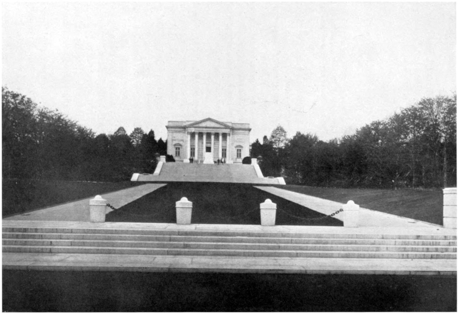
THE TOMB OF THE UNKNOWN SOLDIER OF THE WORLD WAR
The main feature of the structure consists of an open-air amphitheater,
elliptical in plan, with a seating capacity of about 4,000 persons. Its diameter,
north and south axis, is 200 feet, and 152 feet on its east and west axis. It has a
height of approximately 30 feet. The amphitheater is inclosed by a marble
colonnade with entrances at the ends of the principal axis. The main entrance is
from the east, and this section contains a reception hall and stage on the main
floor, a museum room or “Valhalla” on the second floor, and a chapel in the
basement. Under the floor of the colonnade, crypts are provided for the burial
of distinguished soldiers, sailors, and marines. The amphitheater, erected at a
cost of $825,000 is built of white marble from Vermont. Inscriptions commemorate
the great wars of the United States.
Immediately to the east of the main entrance is the Tomb of the Unknown
Soldier, which was completed by the War Department in accordance with plans
that provide also for a great approach to the tomb and the amphitheater.
At the time when the rites for the Unknown Soldier were solemnized, on
November 11, 1921, the time for preparation was so short that the location of
the tomb on the terrace in front of the amphitheater was quickly decided upon.
The casket was inclosed in what was designed to be the base of a monument
which was to be erected later. The preliminary work was designed by Thomas
Hastings, of the firm of Carrere & Hastings, architects of the amphitheater.
Five years later, on July 3, 1926, Congress authorized the Secretary of War
to secure by competition designs for a monument to cost $50,000, and provided
that the accepted design should be subject to the approval of the Arlington
Amphitheater Commission (the Secretaries of War and of the Navy), the American
Battle Monuments Commission, and the Commission of Fine Arts. A competition
was held, in which there were 39 competitors, 5 of whom were selected
to enter the final stage. The final award was made to Thomas Hudson Jones,
sculptor, and Lorimer Rich, architect, of New York City.
The competitors generally based their designs on such a modification of the
terrace as would place the monument at the head of a flight of steps, the approaches
to which called for rearrangement of the immediate foreground of the
terrace. Congress accepted the winning design, and a supplemental appropriation
was made for carrying out the design. The work of completing the Tomb
of the Unknown Soldier was in charge of the Quartermaster General of the
Army. The cost of the memorial, constructed of Colorado Yule marble, was
$400,000.
Within this marble sarcophagus rests the remains of the Unknown Soldier, a
hero of the World War. The Republic has bestowed upon him its most cherished
decoration for valor, the Congressional Medal of Honor, and all the major nations
associated with America in the Great War have similarly honored his memory and
the memory of the thousands of his comrades who laid down their lives in that
titanic struggle.
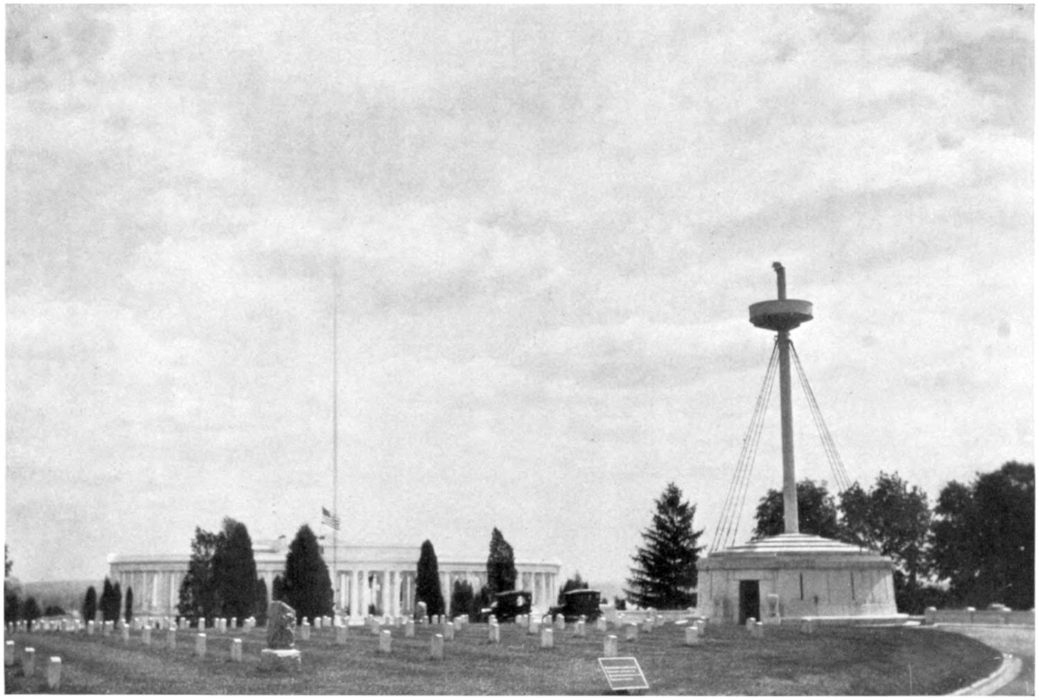
ARLINGTON NATIONAL CEMETERY—MAINE MONUMENT AND THE MEMORIAL AMPHITHEATER
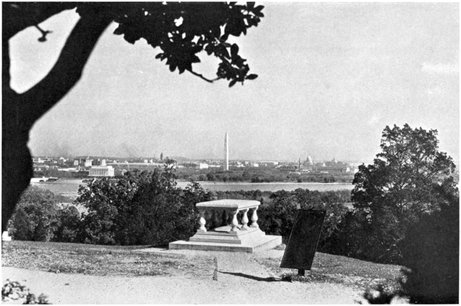
TOMB OF L’ENFANT
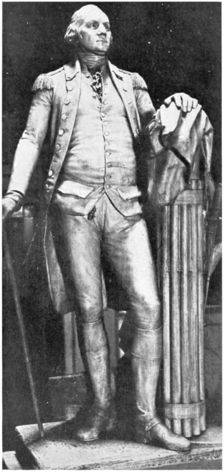
STATUE OF GEN. GEORGE WASHINGTON
Chapter XXV STATUES AND MONUMENTS [1] — STATUE OF GEN. GEORGE WASHINGTON — TRIPOLI COLUMN — STATUE OF GEORGE WASHINGTON — STATUE OF GEN. ANDREW JACKSON — ADAMS MEMORIAL — STATUE OF GENERAL LAFAYETTE — STATUE OF ALEXANDER R. SHEPHERD — STATUE OF HENRY WADSWORTH LONGFELLOW — STATUE OF JOHN WITHERSPOON — MEMORIAL OF THE GRAND ARMY OF THE REPUBLIC TO DR. BENJAMIN FRANKLIN STEPHENSON — STATUE OF GEN. CASIMIR PULASKI — ZERO MILESTONE — DUPONT MEMORIAL — STATUE OF JEANNE D’ARC — STATUE OF DANTE — GEN. U. S. GRANT MEMORIAL — STATUE OF EDMUND BURKE — STATUE OF ALEXANDER HAMILTON
The most precious work of art in the United States is the life mask of George
Washington by the noted French sculptor, Jean Antoine Houdon, who in 1785
was commissioned by the State of Virginia to execute a marble statue of George
Washington. Houdon crossed the ocean, setting sail from Paris, France, on July
22 of that year for this purpose, in company with Benjamin Franklin. For 10 days
he was a guest of General Washington at Mount Vernon, making studies and a
cast. Having made his models, Houdon returned to France, reaching home on
January 4, 1786. It took him two years to model and carve the statue, and the
completed work arrived at Richmond in 1788. Eight years later the statue
was installed in the rotunda of the State capitol, where it stands to-day. The
statue represents Washington in the uniform of a Revolutionary officer; and,
according to John Marshall, his intimate friend, this three-quarter view corresponds
more to the exact likeness of Washington than any other portrait. A copy
of this statue is in the Rotunda of the Capitol, the gift of the State of Virginia to
the Nation. The life mask is at Mount Vernon.
This was the first and only monument that stood in Washington for a period
of 26 years. It was erected in memory of the heroes that fell before Tripoli in
1804. It had been made at the expense of officers of the Navy and was brought
from Italy in the U. S. S. Constitution to the navy yard, where it was erected
in 1808 under the direction of Benjamin H. Latrobe, Architect of the Capitol.
Afterwards, when in 1814 the navy yard was burned by the British, it was
placed at the west side of the Capitol. During the reconstruction and enlargement
of the Capitol to its present size it was removed.
In November, 1860, it was taken to the United States Naval Academy at
Annapolis, where it stands to-day.
The chief motif of the monument is an artistically designed, simple Doric
column, surmounted by an eagle. It was procured through the efforts of Admiral
Porter, who commissioned a noted Italian sculptor of the time, Micali, of
Leghorn, to execute the monument.
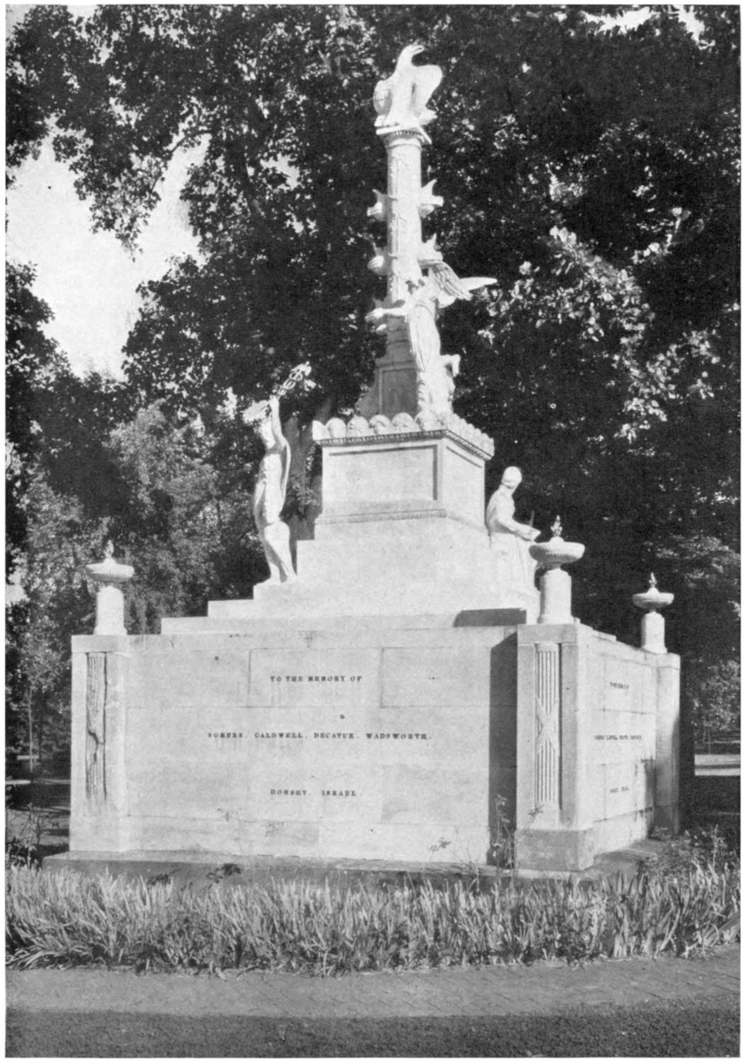
TRIPOLI COLUMN, AT ANNAPOLIS, MD.
This statue is by Horatio Greenough, who, born in Boston in 1805, was a
noted American sculptor of the early days of the Republic. He was the first
American deliberately to choose sculpture as a profession and to go abroad for
serious study. He became absorbed with art as he saw it in Italy, and those
who have seen the massive Roman statuary of the Farnese collection at Naples,
in addition to the priceless collections of statuary of classical times at Rome and
Florence, can make due allowance for the conception of the ponderous figure of
George Washington by Greenough when he was commissioned by Congress in
1832 to execute the statue. He was at work on the statue for eight years, during
the period of the classical revival in this country, marked by the construction of
the Patent Office, the old Post Office, and the Treasury Department Buildings.
The statue is 12 feet high, and of Carrara marble. It cost $44,000. After
many perils by sea and land, it reached this city in 1843. At the Capitol it was
found that the doors were not large enough to permit its passage, and they were
temporarily widened to admit the statue, where it was given a place in the
Rotunda, but its immense weight was too heavy for the floor, and it was transferred
to the plaza in front of and facing the Capitol. It remained there for over
half a century, and in 1908 was removed to the National Museum.
This statue of Washington in Roman toga, seated in a curule chair, was
often ridiculed. One wrote that Washington was supposed to be saying, as he
pointed in two directions, “My body is at Mount Vernon, my clothes are in the
Patent Office.” Nevertheless, the statue had its friends. In 1841 Edward Everett
wrote of it, “I regard Greenough’s Washington as one of the greatest works of
sculpture of modern times.” It is an art treasure of the past, and as such is rightly
cherished to-day.
This statue in Lafayette Square, north of the White House, is the first equestrian
statue cast in the United States. It is the work of Clark Mills, sculptor,
who, while he was in the South preparing to go abroad, was persuaded to come to
Washington and submit to Members of Congress sketches of an equestrian statue.
They were so highly pleased with them that Mills was commissioned to produce
the statue, and to do this he built a foundry in northeast Washington at a place
now called Mills Avenue. The cost of the statue was $32,000. Congress appropriated
$20,000 and the Jackson Democratic Association of Washington the
balance. Congress also appropriated $8,000 for the pedestal. The statue was
unveiled January 8, 1853, the thirty-eighth anniversary of Jackson’s victory at
New Orleans. Stephen A. Douglas, then a United States Senator, delivered the
oration.
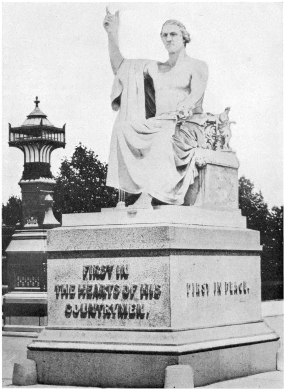
STATUE OF GEORGE WASHINGTON
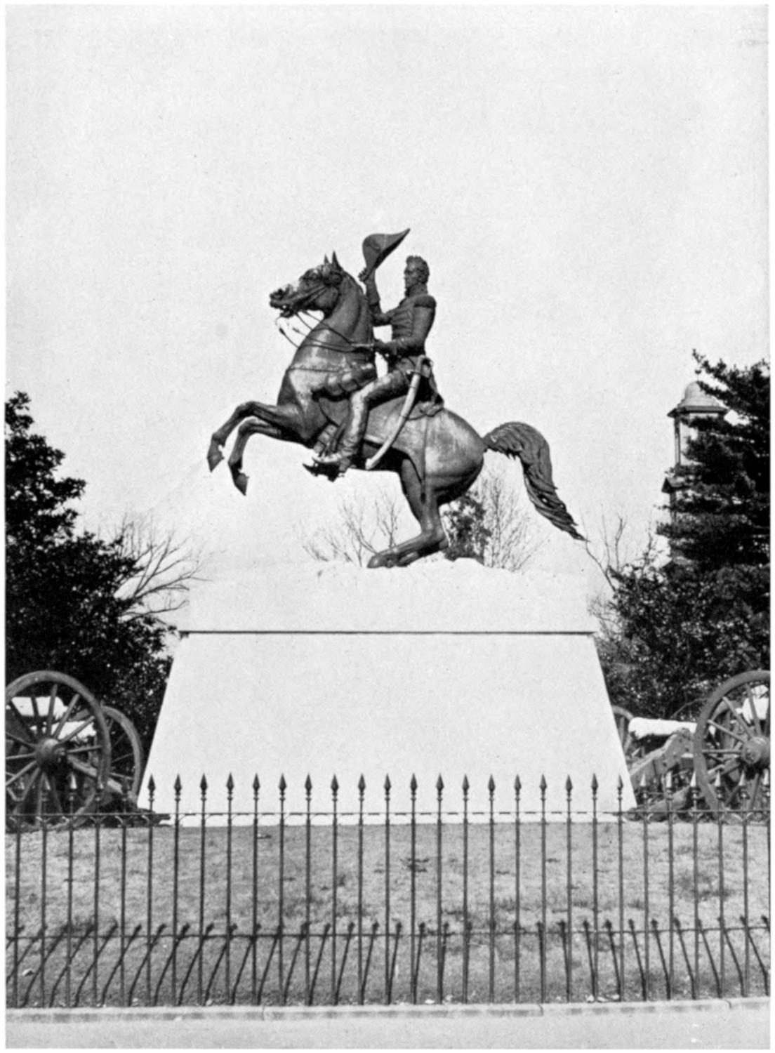
STATUE OF GEN. ANDREW JACKSON
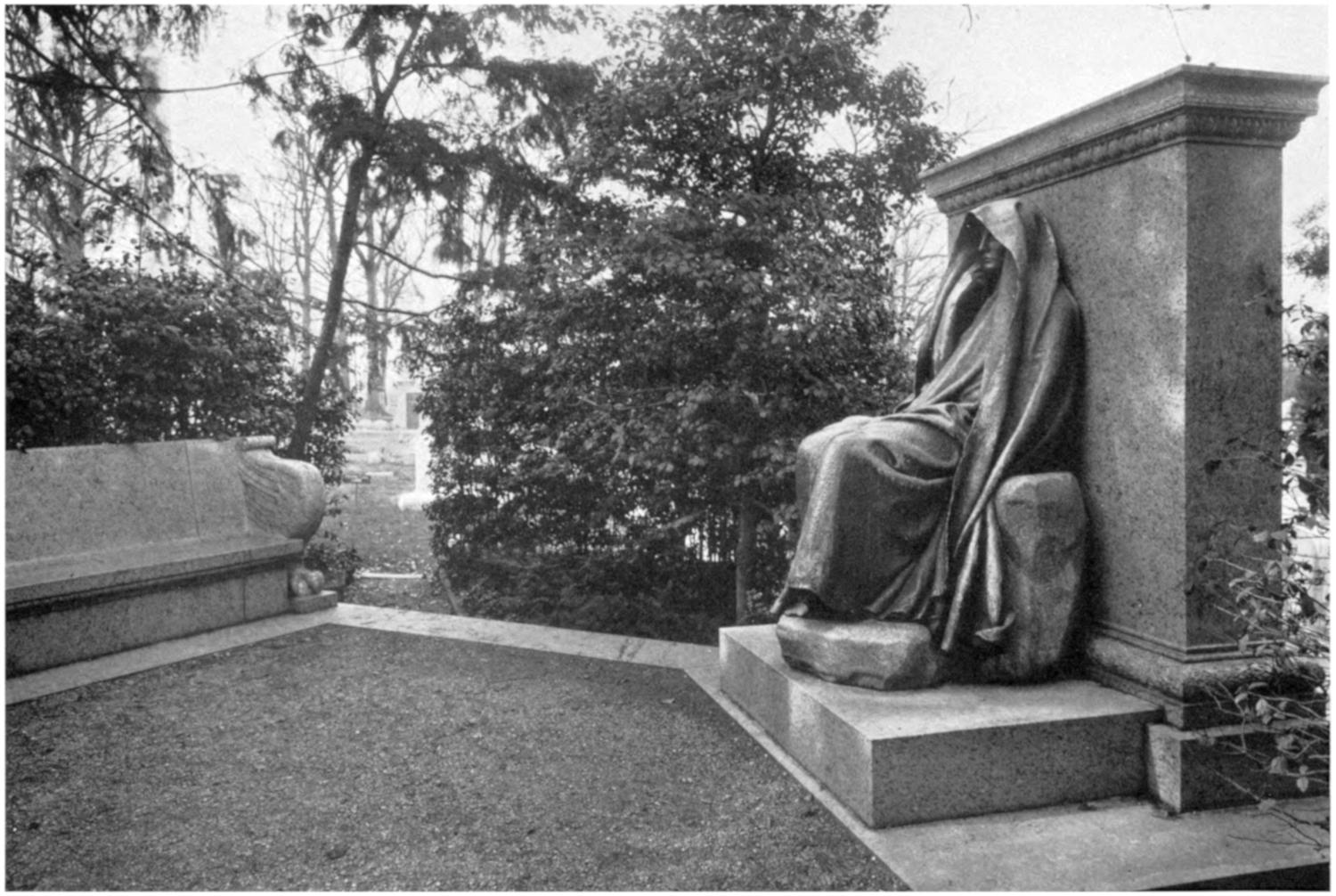
THE ADAMS MEMORIAL
Repeated attempts have been made in the past 25 years to relocate the statue,
but without success. It has been suggested that it be placed at the north steps
of the Treasury Department Building. Some years ago the suggestion was made
to have the statue exchange places with the General Washington Statue in Washington
Circle. It met with strong objection. To relocate the statue would
require an act of Congress. However, the statue is regarded a landmark in the
city, and, as heretofore stated, it is the first equestrian statue cast in the United
States, having thus added historic interest.
The Adams Memorial, a veiled female figure in bronze, by Saint-Gaudens, in
Rock Creek Cemetery, was erected in 1891. Under the carpet of pine needles
the bodies of Mr. and Mrs. Henry Adams are buried. There is no inscription;
not even a date on the architectural features, designed by Stanford White. Thick
planting of pines and shrubs completely secludes the monument. Friends of the
sculptor deplore the fact that this, his masterpiece, has come to be known as the
Statue of Grief, as such a title is wholly at variance with the artist’s conception.
It is, in fact, a monument without a name, though the artist preferred the title,
“The Peace of God.” The sculptor endeavored to comprise in the figure the
thought of the philosophy of the ages—the great mystery of the human race and
of history—that being called man and his destiny. It is a world-famous monument,
and each year thousands of visitors to the National Capital gladly travel
the 4 miles directly north of the Capitol to see it.
The statue of General Lafayette is situated on the southeast corner of Lafayette
Square. It is a heroic bronze statue by Alexander Falguiere and Antoine
Mercie, noted French sculptors. The statue stands on a marble pedestal, on the
north side of which are two cherubs holding up the inscription:
BY THE CONGRESS IN COMMEMORATION OF THE SERVICES RENDERED BY GENERAL LAFAYETTE
AND HIS COMPATRIOTS DURING THE STRUGGLE FOR THE INDEPENDENCE OF AMERICA
Congress appropriated $50,000 for the statue and pedestal, and it was
completed in April, 1891. It is 45 feet high. On the east side are two heroic
French naval figures, Comte d’Estaing (north) and Comte de Grasse (south),
and an anchor. On the west side are two heroic French Army officers who
served during the Revolution, Comte de Rochambeau (south) and Chevalier
Duportail (north), and a mortar. On the south side of the pedestal is a figure
symbolizing America, lifting up a sword to General Lafayette, with the inscription:
TO GENERAL LAFAYETTE AND HIS COMPATRIOTS, 1777-1783
There were no ceremonies of dedication, but the statue is annually the scene
of ceremonies, including the presentation of a wreath by some patriotic organization,
such as the Sons of the American Revolution, on Lafayette’s Birthday,
September 6.
The statue standing in front of the District Building, at Fourteenth Street and
Pennsylvania Avenue NW., was unveiled May 3, 1909. The cost of its erection,
$10,192.67, was defrayed by public subscription in the city of Washington.
The statue is the work of U. S. J. Dunbar, sculptor. It perpetuates the
memory of a man who in the face of great opposition accomplished wonders for
the National Capital.
Mr. Shepherd, for the years 1873 and 1874, was Governor of the District of
Columbia, and previous to that had been vice president and executive officer of
the board of public works, which inaugurated a program for municipal improvement
that led to the transformation of the city in that day, as has been heretofore
described. Driven from the city, he went to Mexico and accumulated a fortune,
returning later to Washington. His tomb is in Rock Creek Cemetery, not far
from the famous Adams Memorial.
This bronze statue is situated at the intersection of Eighteenth Street and
Connecticut Avenue, at M Street NW., in one of the many triangular reservations
that are so numerous in Washington and which, in addition to furnishing
sites for monuments, help to make the city so attractive. It was presented to the
National Capital by the Longfellow Memorial Association and unveiled May 15,
1909. Congress appropriated $4,000 for the pedestal and furnished the site. The
pedestal is of Milford pink granite, polished. The statue is the work of William
Couper, sculptor. Longfellow, in academic gown, is seated.
This statue stands in front of the Church of the Covenant, on Connecticut
Avenue, near that of Longfellow. Congress provided the site and pedestal at
a cost of $4,000. It is the work of William Couper, sculptor. It was presented
to the United States by the Witherspoon Memorial Association, and unveiled
May 20, 1909.
John Witherspoon was a Presbyterian clergyman, at one time president of
what is now Princeton University, and one of the signers of the Declaration of
Independence, the only clergyman among the signers of that famous document.
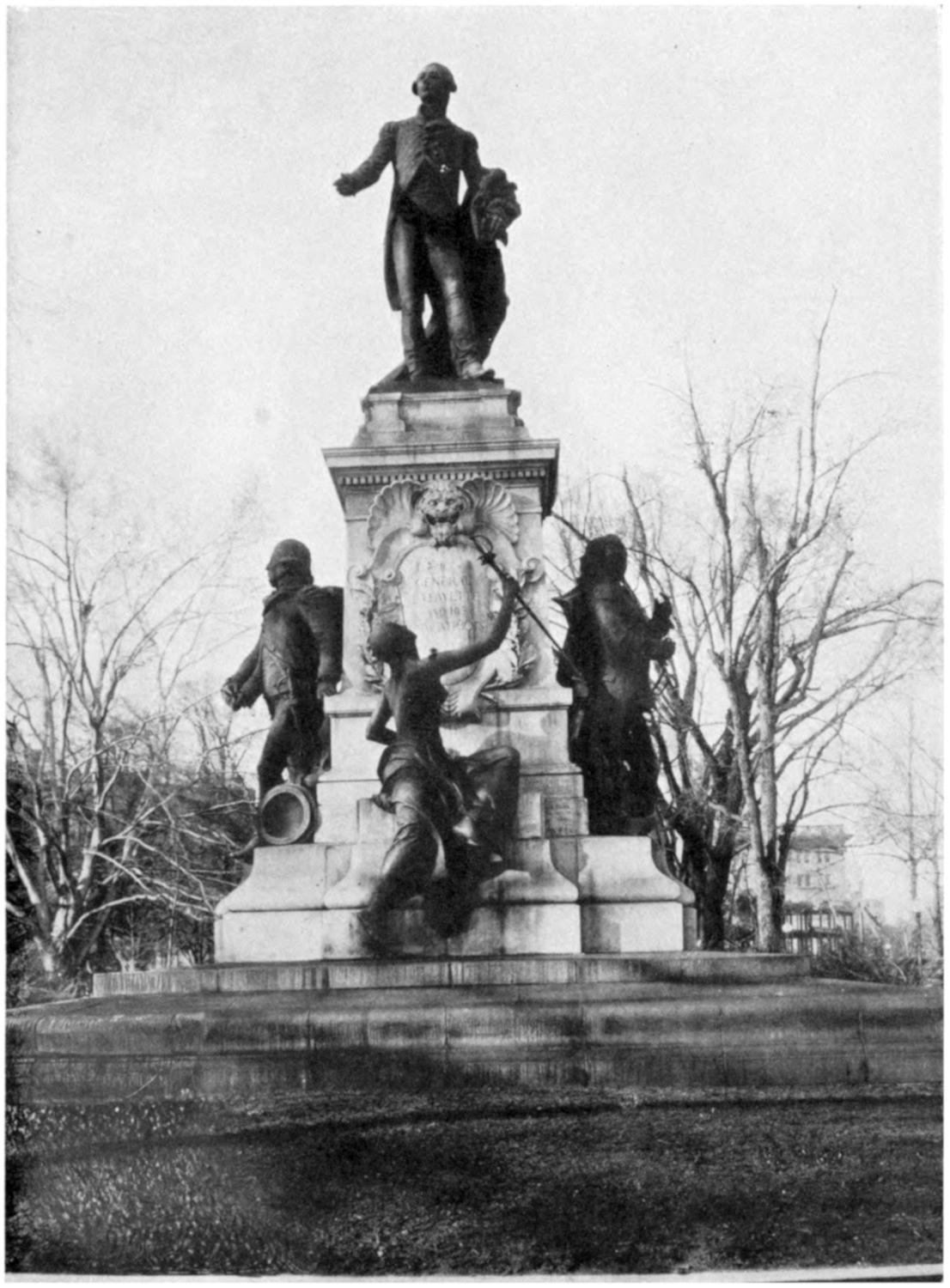
STATUE OF GENERAL LAFAYETTE
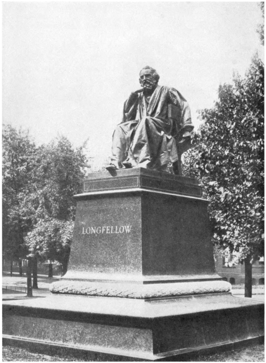
STATUE OF HENRY WADSWORTH LONGFELLOW
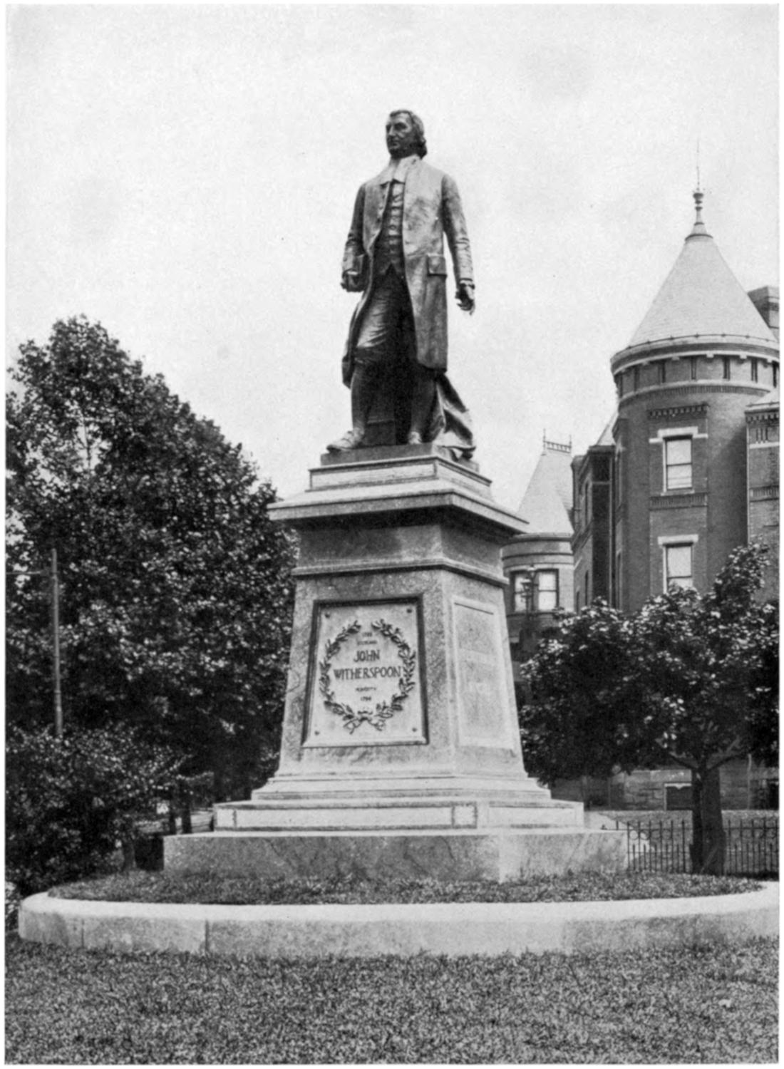
STATUE OF JOHN WITHERSPOON
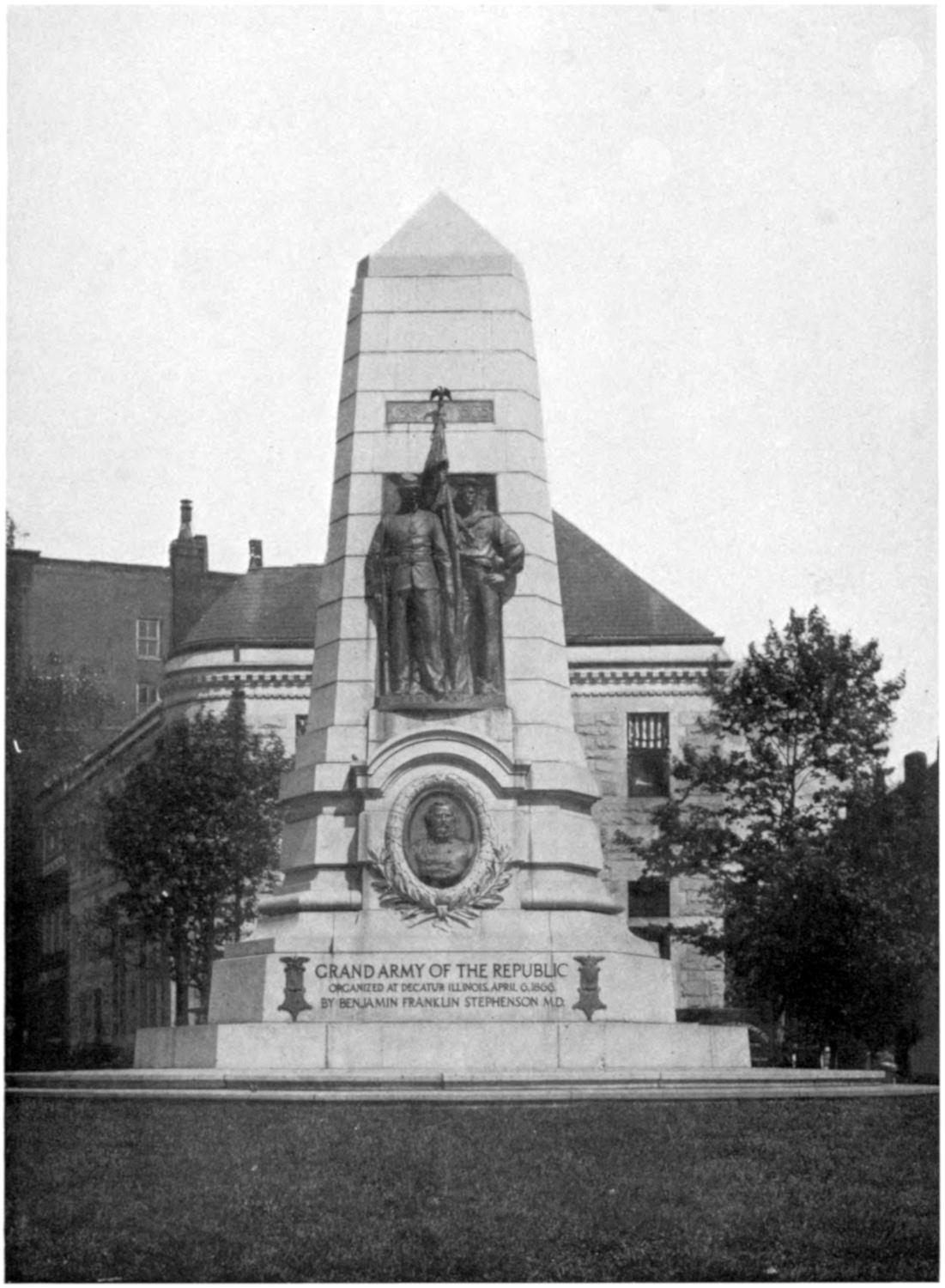
GRAND ARMY OF THE REPUBLIC MEMORIAL
On the north side of the pedestal is a quotation from Witherspoon, made
during the War for Independence, as follows:
FOR MY OWN PART, OF PROPERTY I HAVE SOME, OF REPUTATION MORE. THAT REPUTATION
IS STAKED, THAT PROPERTY IS PLEDGED ON THE ISSUE OF THIS CONTEST, AND
ALTHOUGH THESE GREY HAIRS MUST SOON DESCEND INTO THE SEPULCHRE, I WOULD INFINITELY
RATHER THAT THEY DESCEND THITHER BY THE HAND OF THE EXECUTIONER
THAN DESERT AT THIS CRISIS THE SACRED CAUSE OF MY COUNTRY
This memorial was presented to the United States by the Grand Army of the
Republic, in commemoration of Dr. Benjamin Franklin Stephenson, organizer and
founder of the Grand Army of the Republic, and stands near Pennsylvania
Avenue at Seventh Street NW.
The monument is a solid granite shaft, in form a triangular pyramid. The
bronze figures represent three great principles. Fraternity, symbolized by a soldier
and a sailor, is on the west side. Over the group is the inscription:
1861-1865
Underneath is a bronze medallion of Doctor Stephenson, also the badge of
the Grand Army of the Republic, obverse and reverse being shown, and the
inscription:
GRAND ARMY OF THE REPUBLIC, ORGANIZED AT DECATUR, ILLINOIS, APRIL 6, 1866,
BY BENJAMIN FRANKLIN STEPHENSON, M. D.
On the southeast side of the shaft is a female figure representing Loyalty, holding
a shield and drawn sword, and an inscription:
WHO KNEW NO GLORY BUT HIS COUNTRY’S GOOD
On the northeast side Charity is represented by a woman protecting a
child, with the inscription:
THE GREATEST OF THESE IS CHARITY
The monument cost $45,000, of which $10,000 was appropriated by Congress
for the pedestal, by act of March 4, 1907. It is the work of J. Massey Rhind,
sculptor. The monument was unveiled July 3, 1909, during the administration
of President Taft, who delivered an address on the occasion.
The Pulaski monument, completed in 1910, and dedicated May 11, 1910,
the same day as was the Kosciuszko monument, is an equestrian by Kasimiriez
Chodzinski, sculptor, and stands on Pennsylvania Avenue, at Thirteenth Street
NW. It cost $55,000, which was appropriated by Congress.
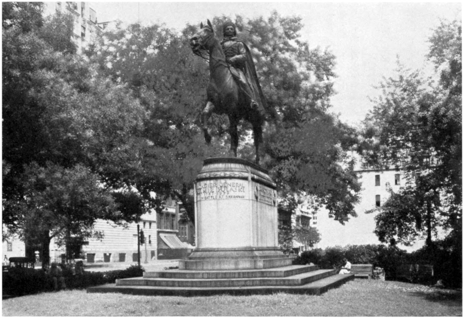
STATUE OF GENERAL CASIMIR PULASKI
The monument represents General Pulaski in his military uniform seated on
his horse “in action.” The pedestal, which is 9 feet high, is by Albert R. Ross,
architect. It rests on a large platform, measuring 20 by 16 feet. The equestrian,
with its pedestal, is one of the best in the city.
The Zero Milestone takes the place of the itinerary column planned by
L’Enfant for a place 1 mile east of the Capitol, “from which all distances of places
through the continent were to be calculated.” That column never was built.
The Zero Milestone is immediately south of the White House grounds. It is a
block of granite 4 feet high with a bronze compass design on top, and stands on
the meridian of the District of Columbia. The monument shows on the street
side the designation Zero Milestone, with the insignia of the Motor Transport
Corps, U. S. Army. The inscriptions on the other three sides show that it
constitutes a point from which distances may be measured on highways of the
United States radiating from Washington, and that it was the starting point of
the transcontinental motor-transport convoys over the Lincoln and the Bankhead
Highways in 1919 and 1920, respectively. The monument was authorized by
act of Congress approved June 5, 1920. It was designed by Horace W. Peaslee,
architect, of Washington.
The Dupont Memorial Fountain, at Dupont Circle, was designed by Daniel
Chester French, sculptor, and Henry Bacon, architect. The fountain was dedicated
on May 17, 1921, and cost $100,000. It replaces a portrait statue of
Admiral Dupont. The top bowl, in one piece, is 13 feet in diameter.
There are three figures on the supporting column of the fountain, representing
The Sea, The Wind, and The Stars. The picture used in this book shows the
figure typifying The Sea. The fountain is of Georgia marble.
This statue, a copy of the celebrated Paul Dubois statue, one of the masterpieces
of modern art standing in front of Rheims Cathedral, is situated on the
grand terrace of Meridian Hill Park.
The statue is not large, measuring in length 10 feet and in height 9 feet.
The pedestal is about 6 feet high. The casting was done under the direction of
the Ministère des Beaux Arts, in Paris. The pedestal was designed by McKim,
Mead & White, architects, of New York City.
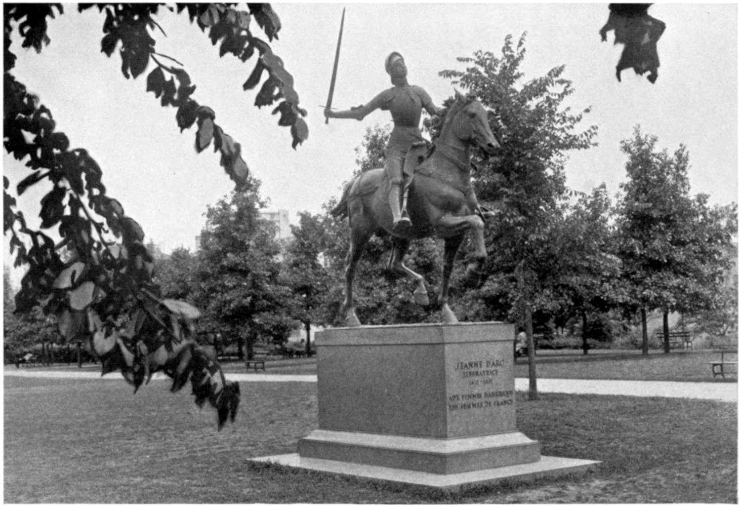
STATUE OF JEANNE D’ARC
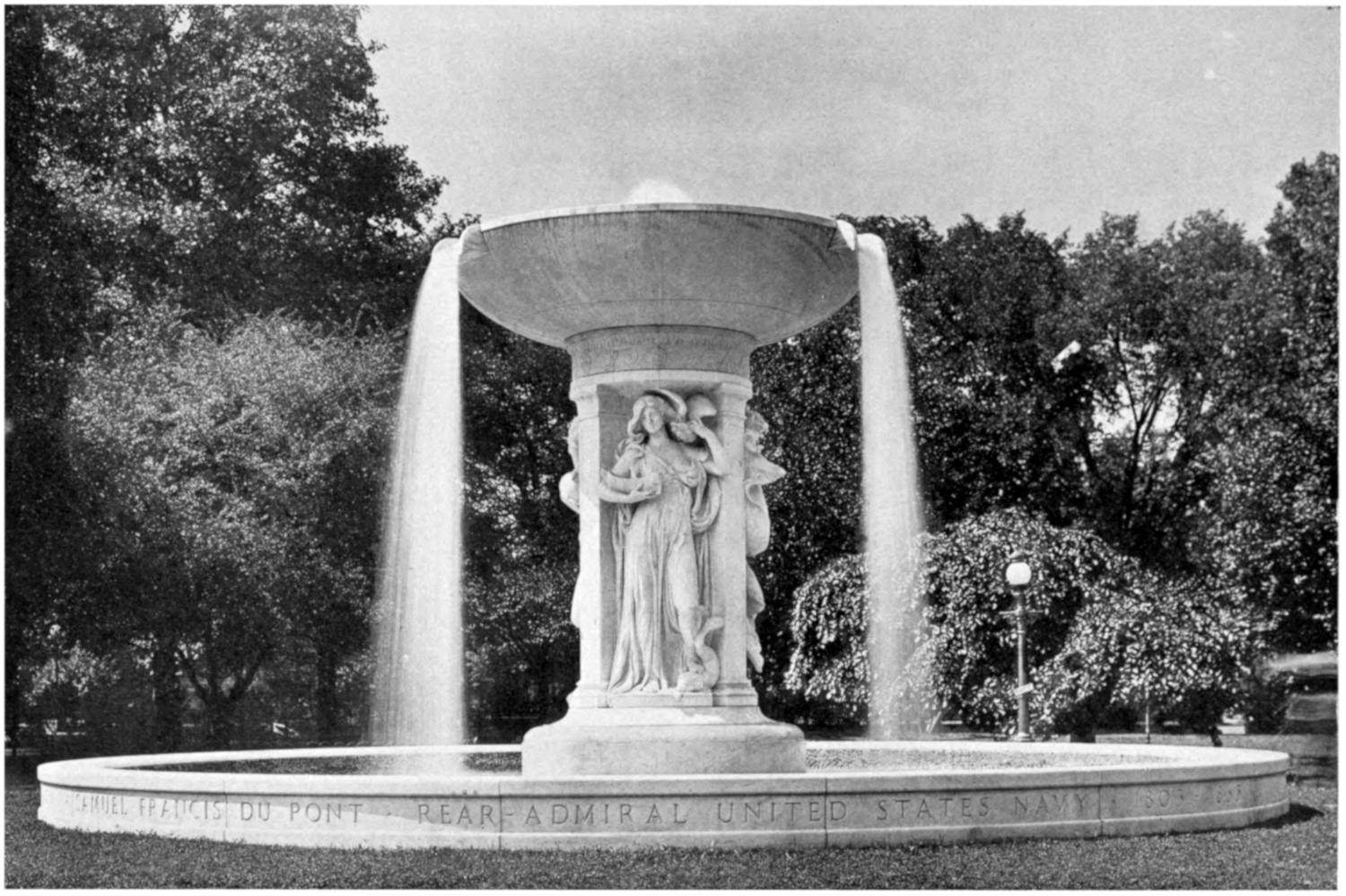
DUPONT MEMORIAL FOUNTAIN
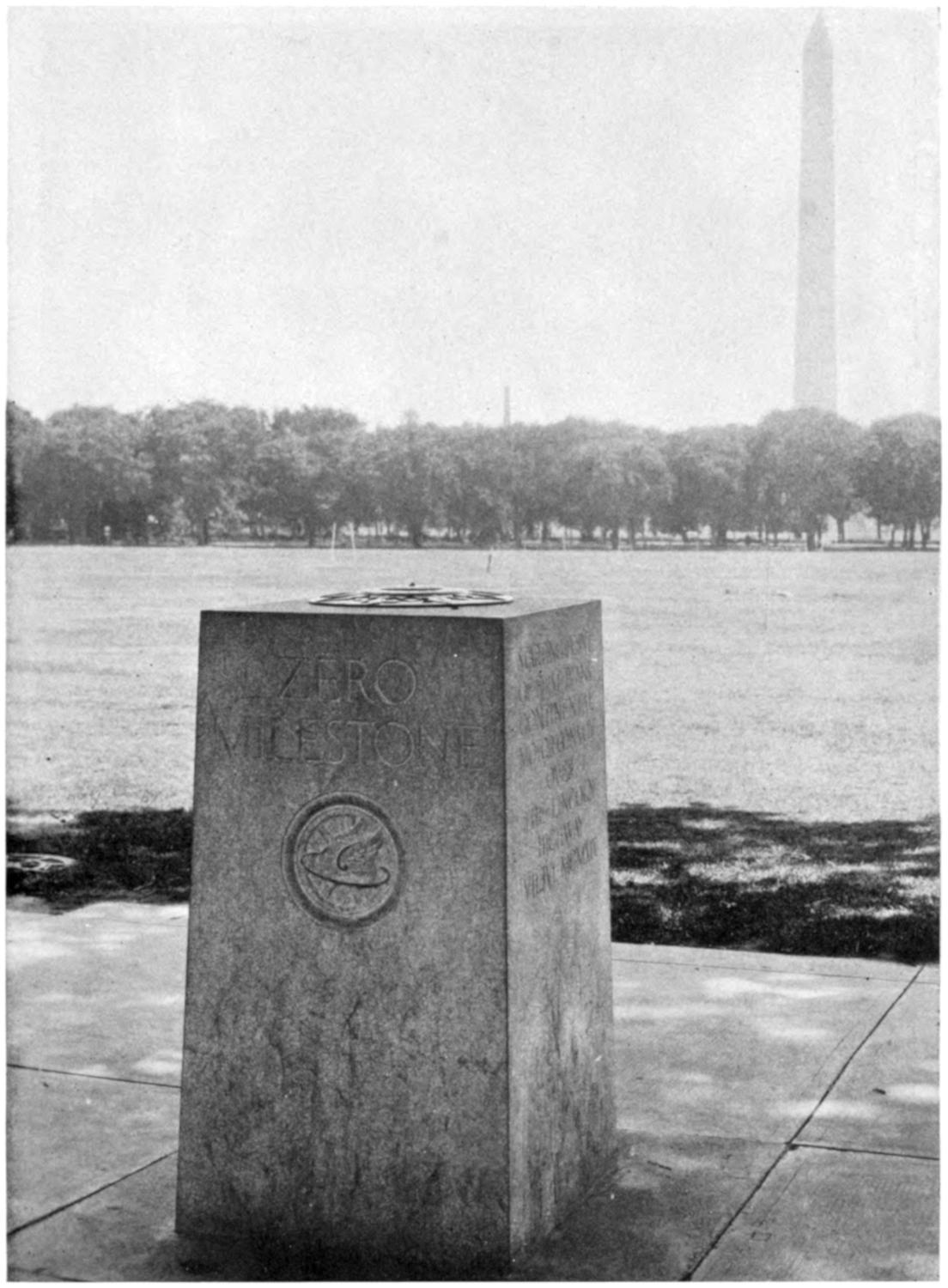
ZERO MILESTONE
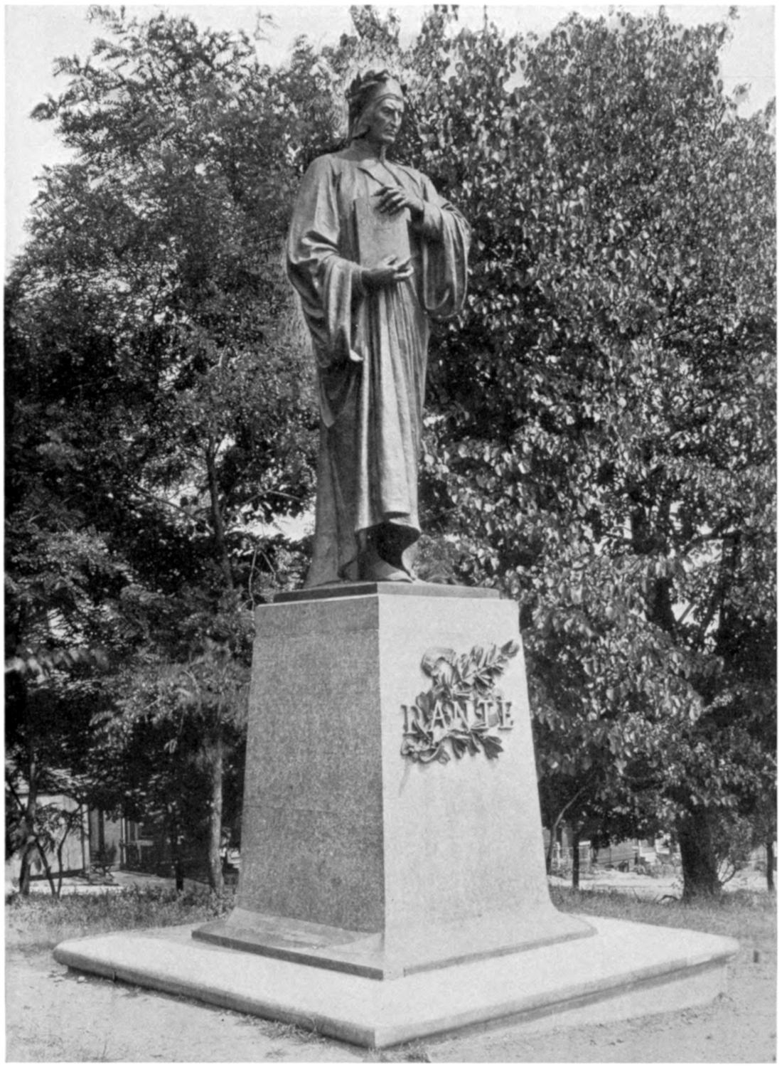
STATUE OF DANTE
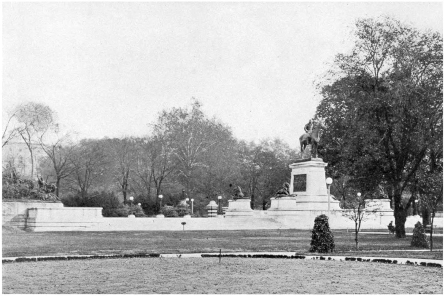
GEN. U. S. GRANT MEMORIAL
Congress authorized the erection of the statue on public grounds in the
National Capital, and the Commission of Fine Arts advised in the matter of
location and design of the pedestal.
In May, 1916, the commission received a communication from Mme. Carlo
Polifeme, President Fondatrice, Le Lyceum Société des Femmes de France à New
York, to this effect:
Le Lyceum Société des Femmes de France à New York, in a spirit of patriotism, nurtured by
exile, inspired with a deep sense of the friendship that binds our two sister Republics, animated
by a sympathy born of closer and closer relations, “Le Lyceum” intends to perpetuate these sentiments
by erecting, in their new home, a monument to Jeanne d’Arc, emblem of Patriotism, emblem
of Love and Peace. The statue of our French heroine will be built to the glory of womanhood,
dedicated by the women of France in New York to the women of America, and offered to the
city of Washington.
The President and his excellency the French ambassador attended the unveiling,
which took place on January 6, 1922, the five hundred and tenth anniversary
of the birth of Jeanne d’Arc.
The life of Jeanne d’Arc has been eulogized by the greatest of writers, and
to-day she is revered as one of the world’s great liberators. Her spirit of patriotism
and devotion has thrilled the ages.
The statue of Dante, standing in Meridian Hill Park, was given to the National
Capital by Chevalier Carlo Barsotti, editor of Il Progresso Italo-Americano, in
behalf of the Italians of the United States in commemoration of the six hundredth
anniversary of the death of Dante Alighieri, and unveiled on December
1, 1921. It is in bronze, 12 feet high, and is the work of Commendatore Ettore
Ximenes, sculptor, of Rome. The artist has represented Dante in the gown of a
scholar and crowned with a laurel wreath.
The statue received an appropriate landscape setting upon the completion of
the lower garden of Meridian Hill Park.
The Grant Memorial, situated at the head of the Mall, in Union Square, near
the Capitol, was authorized by Congress in 1901, at a cost of $250,000, the
largest expenditure for statuary ever made by this Government. It is said to
be the second largest equestrian statue in the world, being exceeded only by
the Victor Emmanuel in Rome, which is less than one-half foot higher.
The monument consists of a marble platform 252 feet in length and 69 feet at
its greatest width, with steps on each side. In the center is a pedestal 22 feet 6
inches high, on the top of which is a monumental bronze figure of General Grant
on horseback watching a battle. The horse is 17 feet 6 inches high, two and
one-half times life-size; the monument is nearly 40 feet high. The top of General
Grant’s army hat is 65 feet above the platform. The weight of the statue is
10,500 pounds.
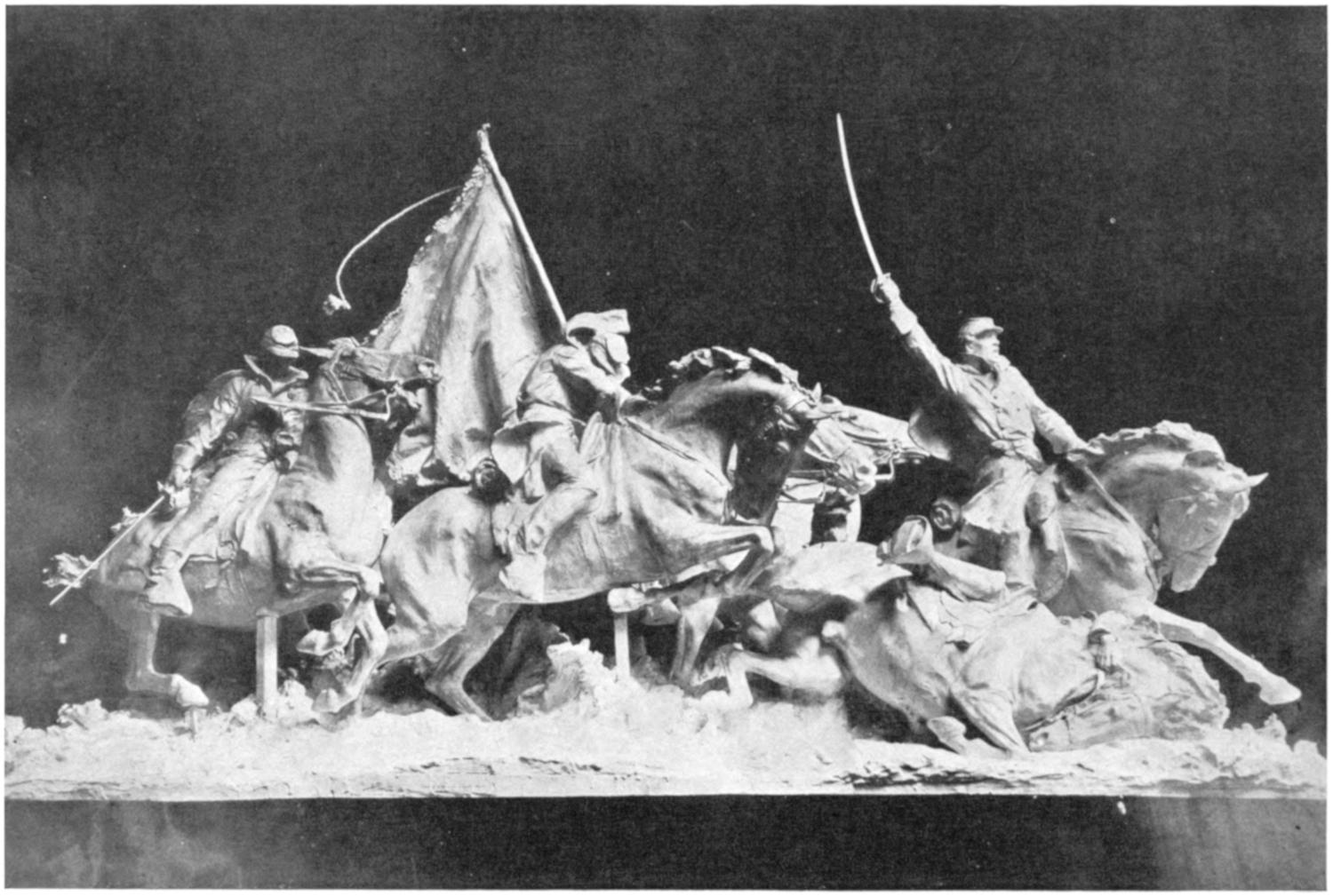
GEN. U. S. GRANT MEMORIAL—CAVALRY GROUP
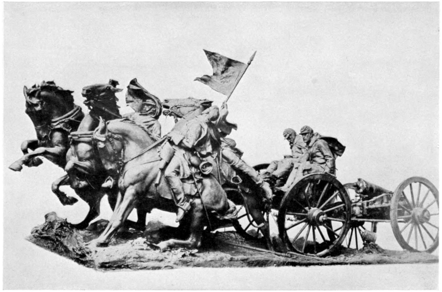
GEN. U. S. GRANT MEMORIAL—ARTILLERY GROUP
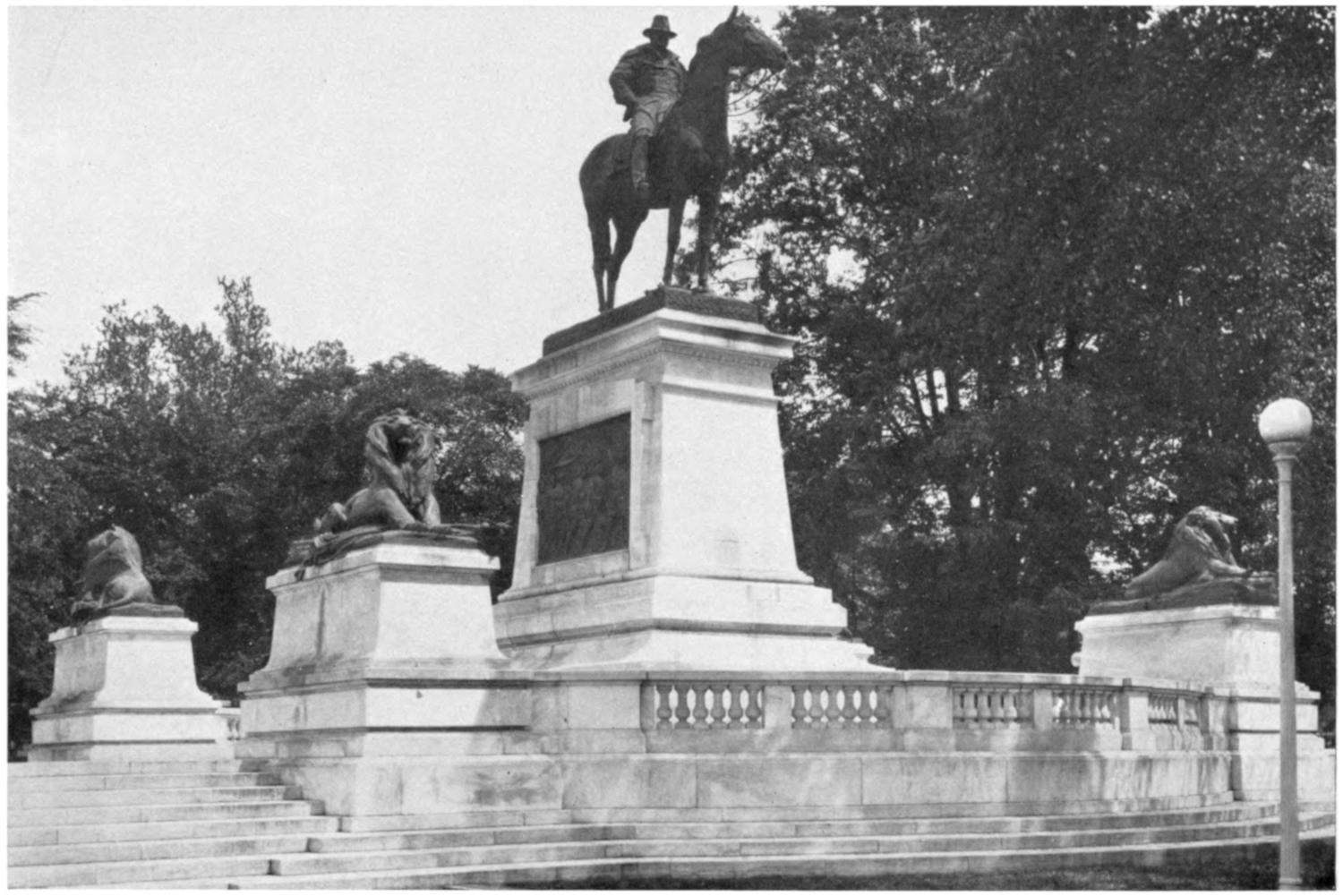
GEN. U. S. GRANT MEMORIAL
The infantry is represented by two bronze tablets at each side of the pedestal.
On the platform at the right a cavalry charge is in progress. There are
seven horses in the group.
On the platform at the left a battery of artillery is going into action. There
are five horses and four soldiers in this group.
In these groups the sculptor has given particular attention to portraying the
army equipment of the period.
Four great bronze lions are at each corner of the main pedestal, guarding the
flag. For the inscription the memorial has the single word “Grant.”
The monument was cast by the Roman Bronze Works, of Brooklyn, N. Y.,
and was dedicated April 27, 1922. Edward Pearce Casey was the architect. The
sculptor, Henry Merwin Shrady, died on April 12, a few days before the dedication.
The monument represents his most notable work.
The statue of the eloquent defender of the rights of the American Colonies
in the British Parliament is situated in a triangle at the intersection of Massachusetts
Avenue and Eleventh Street NW. It is a copy of the statue at Bristol,
England, which city Burke represented in Parliament. It was designed by the late
Havard Thomas, and is an excellent example of the work of one of the celebrated
English sculptors of recent times. The statue was given by Sir Charles Cheers
Wakefield, Bart., through the Sulgrave Institution. The pedestal was designed
by Horace W. Peaslee, architect, of Washington. The statue was unveiled
October 12, 1922, and accepted on the part of the United States by the late
Hon. John W. Weeks, Secretary of War.
This statue in bronze, about 9 feet in height, is on the south steps of the
Treasury Department Building. James E. Fraser is the sculptor. The pedestal is
of pink Milford granite and was designed by Henry Bacon, architect.
If Alexander Hamilton, who was the first Secretary of the Treasury, waited
for more than a century to obtain representation in a capital in part located
through his sagacity and for the building of the department his genius created, at
least the result was well worth the delay. By common consent the standing
bronze figure of Hamilton, dressed in a typical colonial costume, is notable for
virility and charm. It was unveiled May 17, 1923.
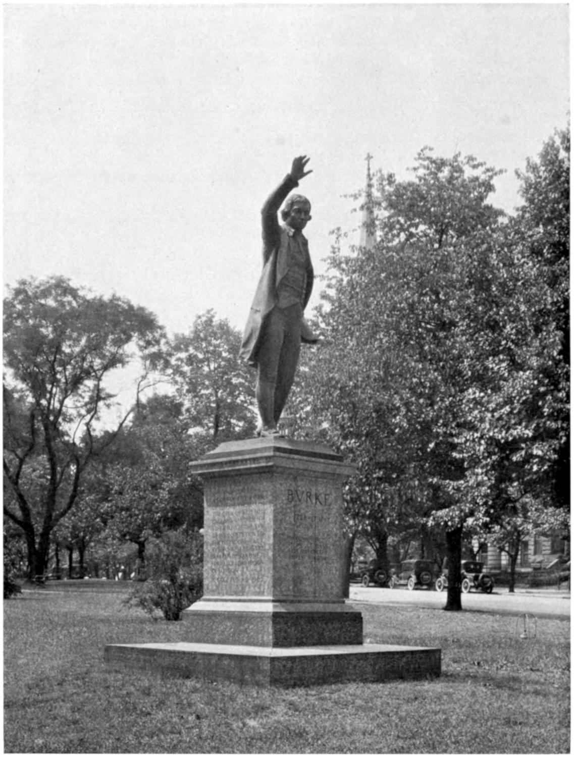
STATUE OF EDMUND BURKE
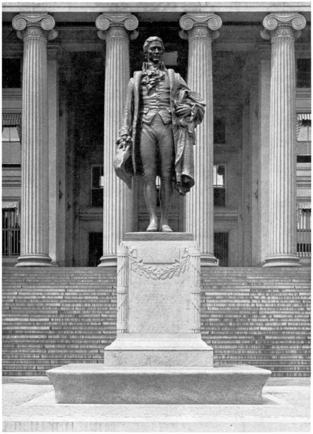
STATUE OF ALEXANDER HAMILTON
INDEX — TRANSCRIPTIONS OF CHARTS AND MAPS — Transcriber’s Notes
- Abingdon, site of, 117.
- Ackerman & Ross, architects, 284.
- Adams Memorial, 187, 325.
- Adams, President John, 40.
- Adams, President John Quincy, 45, 176, 268.
- Agriculture, Department of, 89, 145, 284.
- Alexandria, Va., 8, 37, 117.
- Allied Architects, Inc., of Washington, 235.
- American Battle Monuments Commission, 315.
- American Institute of Architects, 73, 81, 146.
- American Institute of Pharmacy, 277.
- American University, 279.
- Anacostia Park, 10, 161.
- Arboretum, National, 161, 296.
- Architecture, classical order of, 86, 165, 171,
196, 235, 261.
- Archives Building, National, 284.
- Arlington Mansion, 182, 309.
- Arlington Memorial Amphitheater, 313.
- Arlington Memorial Bridge, 93, 135, 284,
296.
- Arlington Memorial Bridge Commission, 135.
- Arlington National Cemetery, 82, 142, 309,
311.
- Army War College, 284.
- Art in the United States, influence on:
- Centennial Celebration of 1876, 65.
- World’s Columbian Exposition, 1893, 65.
- Bacon, Henry, Architect, 131, 333,
343.
- Baltimore & Ohio Railroad Co., 45.
- Bancroft, George, 177.
- Barsotti, Chevalier Carolo, gift of, 339.
- Bennett, Parsons & Frost, architects, 284.
- Bingham, Theodore A., Superintendent Public Buildings and Grounds, 146.
- Blair, Gist, 153, 155.
- Blashfield, Edwin Howland, mural painter, 247.
- Blodgett Hotel, 43.
- Boston Museum of Fine Arts, 65.
- Botanical Society of Washington, 11.
- Botanic Garden, 296.
- Brown, Arthur, architect, 284.
- Brown, Glenn and Bedford, architects, 284.
- Boundary Stones, District of Columbia, 19.
- Bryce, Viscount, 279, 358.
- Budget, Director of the, 307.
- Building Regulations of President Washington, 21, 101,
105.
- Bulfinch, Charles, Architect of the Capitol, 219.
- Burke, Edmund, statue of, 343.
- Burnes, David, 15.
- Burnham, Daniel H., 77, 80, 210,
235.
- Burnham & Co., D. H., 80, 235, 241.
- Cabin John Bridge, 215.
- Calvert Street Bridge, 284.
- Capitol, the:
- Bronze doors of, 224.
- Description of, an early, 165.
- Description of, a later, 219.
- Enlargement of, 49, 219.
- Group, 85.
- House of Representatives wing of, bronze doors of the, 228.
- Paintings in Rotunda of, 221.
- Senate wing of, bronze doors of the, 226.
- Capitol Grounds and Union Station Plaza, development, 296, 301.
- Capitol Prison, old, 43.
- Capper-Cramton Act, the, 108, 151.
- Carnegie, Andrew, 276.
- Carnegie Institution of Washington, 277.
- Carrere & Hastings, architects, 235, 277,
313.
- Carrollsburgh, 37.
- Casey, Edward Pearce, architect, 245, 275, 284,
343.
- Casey, Thomas Lincoln, 205.
- Cassatt, Alexander J., president Pennsylvania Railroad Co., 84.
- Catholic University of America, 279.
- Centennial Celebration, influence on Art, 65.
- Central Heating Plant for Public Buildings, 284.
- Chain Bridge, 284.
- Chamber of Commerce of the United States of America, 277.
- Chesapeake & Ohio Canal Co., 45, 109, 182,
183.
- Chicago, 65.
- Chief of Engineers, 147.
- Chodzinski, Kasimiriez, sculptor, 331.
- Christ Church, Alexandria, Va., 117.
- Christ Church, Washington, 187, 190.
- Churches in Washington, National, 289.
- Clarke, Gilmore D., 119.
- Clay, Henry, 99, 176.
- Columbia Institution for the Deaf, 279.
- Columbia Island, 137, 142.
- Columbus Monument, 241.
- Commerce Building, Department of, 279.
- Committee on the Library, 98, 161.
- Congress of the United States, 228.
- Congressional Cemetery, 190.
- Congressional Record, 232.
- Connogochegue River, 7.
- Constitution Avenue, 135, 293.
- Constitution Hall, 275.
- Constitution of the United States:
- Provision for Federal District, in, 4.
- In Library of Congress, 247.
- Continental Congress, the:
- Cities occupied by, 1.
- Inconvenienced by moving, 2.
- Coolidge, President Calvin, 276, 296.
- Coolidge, Mrs. Elizabeth Sprague, 250.
- Council of Fine Arts, 95, 99.
- Corbett, Harvey W., architect, 119.
- Corcoran Gallery of Art, 65, 179, 275.
- Corcoran House, 179.
- Couper, William, sculptor, 326.
- Courts of the District of Columbia, 193.
- Crawford, Thomas, sculptor, 224, 226.
- Cret, Paul P., architect, 252, 276, 284.
- Custis, George Washington Parke, 182, 203, 309.
- Dante, statue of, 159, 339.
- D’Arc, Jeanne, statue of, 159, 333.
- Daughters of the American Revolution, National Society of the, 275.
- Decatur House, 176.
- Declaration of Independence, 9.
- In Library of Congress, 245.
- Delano, Frederic A., 163.
- Delano & Aldrich, architects, 284.
- Dermott, James R., plan of, 32.
- District of Columbia, the:
- Act establishing, 7
- Agreement for purchase of land for—
- Terms of, 15;
- Signers of, 16.
- Board of Commissioners of, 7, 102,
305.
- Government of the, 305.
- Boundary stones of, 19.
- Description of 1810-1815, 41.
- Georgetown made part of, 179.
- Government of the, 305.
- Highway Plan of, 69.
- One hundredth anniversary of removal of the seat of government to the, 73.
- Origin and form of government of, 305.
- District of Columbia Courthouse, 193.
- Douglas, Stephen A., 321.
- Downing, A. J., 145.
- Dubois, Paul, sculptor, 333.
- Dunbar, U. S. J., sculptor, 326.
- Dupont Memorial, 333.
- Early, Gen. Jubal A., 57.
- Early settlements along the Potomac, 9.
- Eastern Branch, 7, 8, 13.
- East Capitol Street, extending the Mall axis eastward, 109, 111.
- East Potomac Park, 155.
- Eliot, Dr. Charles W., 240, 243.
- Ellicott, Andrew, 19, 28, 29.
- Ellicott Plan, 29.
- Elliott, Hon. Richard N., 299.
- Embassies and Legations, 289.
- Engraving and Printing, Bureau of, 273, 284.
- Expositions held in the United States, 68.
- Federal City, the:
- Movement to establish, 1.
- Naming streets of, 20.
- Original agreement for, 15.
- Preliminary studies of, 25.
- Site of, 13.
- Federal Hall, 5.
- Federal Reserve Board Building, 276.
- Federal Trade Commission Building, 284.
- Fernald, Senator Bert N., 299.
- Flagg, Ernest, architect, 275.
- Folger Shakespeare Library, 252.
- Ford’s Theater, 57, 215.
- Fort Drive, 108, 111.
- Fort Stevens, 57.
- Fort Washington, Md., 109, 151.
- Foundry Methodist Church, 45.
- Foxall, Henry, 45.
- Francis Scott Key Bridge, 284.
- Fraser, James E., sculptor, 139, 343.
- Freedom, statue of, 224.
- Freer Gallery of Art, 89, 256, 284.
- French, Daniel Chester, sculptor, 133, 333.
- Friedlander, Leo, sculptor, 139.
- Garden Club of America, 163.
- Garfield Park, 147.
- General Accounting Office, 284.
- George Washington Bicentennial Celebration, 129.
- George Washington Birthplace National Monument, 129.
- George Washington Memorial Parkway, 115, 296.
- George Washington National Masonic Memorial, 119.
- George Washington University, 279.
- Georgetown, 40, 48, 179;
- University, 279.
- Giegengack, A. E., Public Printer, 260.
- Gilbert, Cass, architect, 175, 273, 277,
304.
- Goodhue, Bertram Grosvenor, architect, 276.
- Government department building, first, 266, 272.
- Government of the United States, the:
- Act for establishment of the temporary and permanent seat of, 7.
- Amendment to act establishing, 8.
- Government Printing Office, 257-261.
- Grand Army of the Republic Memorial to Benjamin F. Stephenson, 331.
- Grant, Gen. U. S., Memorial 82, 87, 148, 339.
- Grant, President Ulysses S., 61, 203.
- Great Falls of the Potomac, 45, 109, 115.
- Greenough, Horatio, sculptor, 321.
- Gregory, John, sculptor, 254.
- Guerin, Jules, mural painter, 133.
- Hadfield, George, architect, 190, 193,
219, 309.
- Hallet, Stephen H., 219.
- Hamburg, 37.
- Hamilton, Alexander:
- Part taken in locating National Capital, 6.
- Secretary of the Treasury, first, 271.
- Statue of, 343.
- Hamilton, Mrs. Alexander, 203.
- Hamilton, Mount, 161.
- Harding, President Warren G., 135.
- Hay, John, 91, 177.
- Heath, Hon. Ferry K., 299.
- Height of Buildings, 103.
- Hewlett, J. Monroe, 275.
- Highway Plan of the District of Columbia, 69.
- Hoban, James, architect of the White House, 219, 261.
- Hoover, President Herbert, 263.
- Houdon, Jean Antoine, sculptor, 319.
- House of Representatives Office Building, new, 235, 296.
- Howard University, 279.
- Hughes, Charles Evans, Chief Justice of the United States, 304.
- Independence Hall, 3.
- Indian Tribes in and about the District of Columbia, 10.
- Interior Department, 127, 143, 276,
306.
- Internal Revenue, Bureau of, Building, 284.
- Interstate Commerce Commission Building, 279.
- Jackson, President Andrew:
- Suggests location of Arlington Memorial Bridge, 135.
- Department of the Treasury Building, selects site for, 272.
- Statue of, 321.
- James Creek, 37.
- Japanese Cherry Trees, 155.
- Jeanne d’Arc statue, 333.
- Jefferson Pier, 91, 202.
- Jefferson, President Thomas:
- Architect of the Capitol, appoints, 40, 167.
- Improves Pennsylvania Avenue, 40.
- Influence on architecture, 68, 86.
- Library of, purchase of, 219, 248.
- National Capital, the—
- Alternate plan of, for, 15.
- Founding of, in, part of, 6.
- L’Enfant’s plans for, in directing, part of, 25.
- Pennsylvania Avenue, in the time of,
40, 299.
- Pew of, in Christ Church, 188.
- Secretary of State, 266.
- Streets in, for naming, plan of, 20.
- Suggests that L’Enfant study plans of Old World capitals, 24.
- Trees, to preserve, desire of, 143.
- Washington in days of, 37.
- Jennewein, C. Paul, sculptor, 139.
- John Marshall Place, 193.
- Johnson, President Andrew, 57.
- Johnston, Harriet Lane, 157.
- Jones Point, cornerstone of the District of Columbia at, 19.
- Jones, Thomas Hudson, sculptor, 315.
- Justice, Department of, Building, 284.
- Key, Francis Scott, Mansion, 42, 182.
- Keyes, Senator Henry W., 299.
- King Map, 33.
- Klingle Ford Bridge, 284.
- Labor Department Building, 279.
- Lafayette, General:
- Entertained at—
- Arlington, 182.
- Tudor Place, 187.
- Mount Vernon, visits, 123, 126.
- Statue of, 325.
- Washington, visits, 45.
- Lafayette Park, 147, 153.
- Land Office Building, old, 196.
- Landscape Architects, American Society of, 82.
- Latrobe, Benjamin H., Architect of the Capitol, 40, 167,
219, 304, 319.
- Lawrie, Lee, sculptor, 276.
- Lear, Tobias, burial place of, 190.
- Legations, Embassies and, 289.
- L’Enfant, Pierre Charles:
- Accompanies President Washington and Commissioners to view site for Federal City,
20.
- Biography of, 23.
- Designs Fort Washington, 151.
- Plan of—
- Apparently forgotten, 49, 145.
- Basis of Plan of 1901, 83, 89.
- Description of, 25, 32, 93,
146.
- Influence on parks and highways, 108, 145,
147.
- Methods and features of, 25.
- Preserved in Library of Congress, 29.
- Tomb of, in Arlington, 313.
- Library of Congress, 245, 296.
- Lincoln Memorial, the:
- Description of, 131.
- Decorations in, 133.
- On main axis with Capitol and Washington Monument, 91.
- Statue of Abraham Lincoln, in, 133.
- Lincoln Memorial and surrounding area, 135.
- Lincoln Memorial Reflecting Basin, 135.
- Lincoln Museum, 215.
- Lincoln, President Abraham:
- Assassination of, 215.
- Fort Stevens, under fire at, 57.
- Funeral of, 57.
- Washington in the time of, 53, 147.
- Little Falls of the Potomac, 45.
- Logan, Gen. John A., 313.
- Longfellow, Henry Wadsworth, statue of, 326.
- Luce, Robert, Congressman, 163.
- Lynn, David, Architect of the Capitol, 301, 304.
- McCall, Congressman Samuel W., 95.
- McClellan, Gen. George B., 176.
- McKim, Mead & White, architects, 137, 284,
333.
- McKim, Charles F., architect, 77, 80, 81,
91.
- McKinley, President William, 177.
- McMillan, Senator James, 77, 146, 304.
- McMillan Park Commission:
- Members of, 77.
- Plans of—
- Discussed, 28, 73, 83,
105, 146.
- Important feature of, 301.
- Influence on parks, 150.
- Mall developed, according to, 109.
- McNary, Senator Charles L., 163.
- Madison, Mrs. Dolly, 43, 175, 203,
263.
- Madison, Dolly, House, 153, 175.
- Madison, President James, 43, 173, 175,
188, 201.
- Maginnis & Walsh, architects, 288.
- Mall, the:
- Development of, 87, 145, 296.
- Extension of, 91, 155.
- Head of, 87.
- Restoring axis of, 89.
- Marshall, John:
- George Washington, monument to, author of resolution for erecting a, 199.
- Chief Justice, President Washington Monument Society, 201.
- Secretary of State, 266.
- Statue of Washington, comment on, 319.
- Maryland Legislature, offer of, 2.
- Maryland National Capital Park and Planning Commission, 108.
- Mayors of Washington, 305.
- Meade, Gen. George G.:
- Grand Review in 1865, participates in, 57.
- Memorial to, 87, 150.
- Meigs, Gen. Montgomery C., 215, 224, 311.
- Mellon, Andrew, W., 256, 301.
- Meridian Hill Park, 157.
- Merriam, John C., 163.
- Metropolitan Museum in New York, 65.
- Mills, Clark, sculptor, 224, 321.
- Mills, Robert, architect, 196, 197, 201,
272.
- Mint, the, Bureau of, 273.
- Monroe, President James, Washington in time of, 45, 101,
188.
- Moore, Charles, former chairman, National Commission of Fine Arts, 82.
- Morris, Robert, 35, 271.
- Morse, S. F. B., first telegraph office of, 196.
- Mount Pleasant, 57.
- Mount Vernon, 121.
- Mount Vernon Memorial Highway, 108, 117, 296.
- Mount Vernon Ladies’ Association of the Union, 126.
- Mullett, A. B., architect, 268, 284.
- Municipal Center, the, 296.
- Municipal Fish Wharf, 113.
- Murphy, Frederick V., architect, 288.
- National Academy of Sciences, 276.
- National Capital, the, development of, 13, 105.
- National Capital Park and Planning Commission, 51, 69,
99, 102, 105, 150,
306.
- National Cathedral School, 288.
- National churches in Washington, 289.
- National Commission of Fine Arts, 95, 99, 102,
105, 150, 161, 296,
315.
- National Conference on City Planning, 82.
- National Gallery of Art, 89, 256, 284.
- National Geographic Society, 277.
- National Museum, 89, 256, 284.
- National Park Service, 127, 143, 218.
- National Shrine of the Immaculate Conception, 288.
- National Society of the Daughters of the American Revolution, 275.
- Naval Academy, 319.
- Naval Hospital, 284, 296.
- Naval Observatory, 284.
- Navy Department Building, 296.
- Noyes, Mrs. Frank B., 163.
- Octagon House, 81, 173.
- Oldroyd Collection of Lincolniana, 215.
- Olmsted, Frederick Law, jr., landscape architect, 82, 87,
163.
- Page, William Tyler, 209.
- Palisades of the Potomac, 93.
- Pan American Union, 276.
- Park system of the National Capital, 143, 306.
- Partridge, William T., study of L’Enfant plan by, 25.
- Patent Office, 42, 48, 197.
- Peaslee, Horace W., architect, 333, 343.
- Pennsylvania Avenue, 37, 145, 299.
- Pennsylvania Railroad Co., 84.
- Pension Office Building, old, 284.
- Perry, Hinton R., sculptor, 284.
- Piccirilli Brothers, marble cutters, 133.
- Platt, Charles A., architect, 284.
- Polk, President James K., 51.
- Pope, John Russell, architect, 257, 275, 277,
284.
- Porter, Commodore, owner of Meridian Hill Park site, 159.
- Post Office Department Building, 48, 284.
- Potomac Parks, 131, 155.
- Presidents of the United States, list of, 355.
- Proctor, A. Phimister, sculptor, 284.
- Public Buildings Act of 1926, 296, 299, 301.
- Public Buildings Commission, 293, 301.
- Public Buildings Program, 293.
- Public Health Service Building, 276.
- Public Library, 284.
- Pulaski, Gen. Casimir, statue of, 331.
- Putnam, Herbert, Librarian of Congress, 252.
- Q Street Bridge, 284.
- Quotations from great Americans on the National Capital, 357.
- Railroad into the District, first, 48.
- Rankin, Kellogg & Crane, architects, 284.
- Red Cross, American National, 275.
- Renwick, James, architect, 256, 284.
- Rhind, J. Massey, sculptor, 331.
- Rich, Lorimer, architect, 315.
- Rinehart, William H., sculptor, 226, 228.
- Riverside Drive, 93, 142.
- Rock Creek Cemetery, 187, 325.
- Rock Creek Church, 187.
- Rock Creek Park, 148, 159.
- Rock Creek Parkway, 93, 148.
- Rockefeller, John D., 129.
- Rodgers House, 177.
- Rogers, Randolph, 224.
- Roosevelt, President Theodore, 89, 91, 179,
279.
- Root, Elihu, 91, 95, 98.
- Ross, Albert R., architect, 333.
- Rust, Mrs. Harry Lee, 129.
- Saint-Gaudens, Augustus, 77, 81, 91,
325.
- Scottish Rite Temple, 277.
- Senate and House of Representatives Office Buildings, 235.
- Seven Buildings, the, 266.
- Shaw Lily Gardens, 161.
- Shepherd, Alexander R.:
- District of Columbia, Governor of, 61.
- Statue of, 326.
- Sherman, Hon. John, 203, 209.
- Shipstead-Luce Act, 95, 102.
- Shrady, Henry Merwin, sculptor, 343.
- Simon, Louis, architect, 284.
- Six Buildings, the, 39, 266.
- Smith, Capt. John, 9, 13.
- Smithsonian Institution, 256, 284.
- Social Security Building, 296.
- Société des Femmes de France à New York, 159, 339.
- Soldiers’ Home, 211.
- Sousa Bridge, John Philip, 284.
- St. John’s Church, 153, 190, 192.
- Standards, Bureau of, 284.
- Star, Evening, 51, 299.
- Star-Spangled Banner, national anthem:
- Act of Congress designating, 185.
- Original, in National Museum, 185.
- State, Department of, 81, 265.
- State, War, and Navy Building, 61, 81, 268,
284.
- State Zoning Enabling Act, 101.
- Statues and Monuments in Washington, list of, 347.
- Street cars, Introduction in Washington of, 57.
- Sultan, Brig. Gen. Dan. I., 284.
- Supreme Court Chamber, 304.
- Supreme Court Building Commission, 304.
- Surveyor’s Office, District of Columbia, 33, 69.
- Suter’s Tavern, 19.
- Taft, President William Howard, 91, 263,
279, 331.
- Taft, Mrs. William Howard, 157.
- Taft, William Howard, Bridge, 159, 284.
- Thomas, Havard, sculptor, 343.
- Thornton, Dr. William, 42, 173, 185,
190, 197, 219.
- Tiber Creek, 37.
- Tobacco barn, old (original Christ Church), 188.
- Tomb of the Unknown Soldier, 296, 315.
- Town House site, 32.
- Treasury, Department of the, 48, 267, 271.
- Trees of Washington, 63, 111.
- Triangle development, 301.
- Trinity College, 279.
- Tripoli Column, 319.
- Trowbridge, Alexander B., 252.
- Trowbridge & Livingston, architects, 275.
- Tudor Place, 182, 185.
- Union Army, the, Grand Review of,
57.
- Union Square, 87.
- Union Station, 84, 235-241.
- Union Station, Plaza of, 103, 301.
- United States Botanic Garden, 296.
- United States Engineer Office, 113.
- United States Naval Academy, 319.
- United States Supreme Court Building, 296, 301.
- Unknown Soldier, the:
- Burial of, 135.
- Tomb of, 142, 296, 315.
- Van Ness Mansion, 177, 276.
- Vedder, Elihu, painter, 245.
- Virginia:
- Offer of Legislature of, 6.
- Part of District of Columbia receded to, 51.
- Wakefield National Memorial Association, 127, 129.
- Wakefield, Va.:
- Ancestors of Washington settle at, 10.
- Birthplace of George Washington, 127.
- Walter Reed General Hospital, 284, 296.
- Walter, Thomas U., 86, 219, 224,
268.
- War Department Building, 296.
- Ward, John Quincy Adams, sculptor, 5.
- Warden, David Baillie, 41.
- Washington:
- Early, 35.
- 1810-1815, 41.
- 1816-1839, 45.
- 1840-1859, 49.
- 1860-1870, 53.
- Improvements made in, during administration of President Grant, 61.
- Metropolitan area of, 105.
- Washington, Col. John, 10.
- Washington, Judge Bushrod, 126.
- Washington, President George:
- Appoints Commissioners of the District of Columbia, 13.
- Arrives at Suter’s Tavern, Georgetown, 19.
- Birthplace of, 127.
- Capitol, cornerstone of, lays, 219, 228.
- Confers with Commissioners of the District of Columbia, 20.
- Federal City, site for, authorized to select, 7, 8.
- Home of, 121.
- Inauguration of, 5.
- L’Enfant, high regard of, for, 24.
- Potomac Canal, constructs, 4, 151.
- Statues of, 5, 319, 321.
- Trowel used at laying of cornerstone of Capitol by, 117,
118.
- Washington Aqueduct, 57.
- Washington Cathedral, 284.
- Washington Channel and water front, 113.
- Washington City Post Office, 241.
- Washington Meridian, 159.
- Washington Monument, the:
- Detailed description of, 197.
- Laying cornerstone of, 49, 202.
- Washington National Airport, 117.
- Washington National Monument Society, 199, 209.
- Webster-Ashburton treaty, tablet commemorating, 268.
- Webster, Daniel:
- Capitol extension, orator at laying of cornerstone of, 9,
219.
- Describes General Jackson, 135.
- Residence of, 179.
- White House, the:
- Early description of, 41, 171,
173.
- Later description of, 261.
- Weinman, A. A., sculptor, 277, 303.
- White, Stanford, architect, 325.
- Wilson, James, Secretary of Agriculture, 161.
- Wilson, President Woodrow, 243, 288.
- Winter, Ezra, painter, 276.
- Winthrop, Robert C., 202, 209.
- Witherspoon, John, statue of, 326.
- Wood, Waddy B., architect, 276.
- World’s Columbian Exposition, 65.
- World War, influence on Washington, 101, 293.
- World War Memorials in Europe, 99.
- Wyeth, Nathan C., architect, 284.
- Wyeth & Sullivan, architects, 235.
- York & Sawyer, architects, 279.
- Zantzinger, Borie & Medary, architects, 284.
- Zero Milestone, 333.
- Zoning of the Capital, 101, 108.
- Zoning Commission, 103
- Zoological Park, National, 159, 256, 257,
284.
SKETCH
OF
WASHINGTON IN EMBRYO,
Previous to its Survey by Major L’ENFANT.
Compiled from the rare historical researches
—of—
Dr. JOSEPH M. TONER,
who by special favor has permitted the use of his labor and materials
for the publication of a grand historical map of this District
Compilers
E.F.M. FAEHTZ & F.W. PRATT.
1874.
This sketch establishes the exact location
of Hamburgh and Carrollsburg and
approximated metes and bounds
of every estate then embraced
within the precincts granted
by the President.
In addition thereto the subsequent
avenues as well as several
other early improvements,
MAP SHOWING THE ORIGINAL MILESTONES OR
BOUNDARY STONES OF THE DISTRICT OF COLUMBIA
AND THEIR
APPROXIMATE LOCATION
FRED E WOODWARD
TERMS AND CONDITIONS declared by the
President of the United
States, this seventeenth day of October, seventeen hundred and ninety-one,
for regulating the Materials and Manner of the Buildings and Improvements
on the LOTS in the CITY of WASHINGTON.
1st. That the outer and party-walls of all
houses within the said City shall be built
of brick or stone.
2d. That all buildings on the streets shall be parallel
thereto, and may be advanced to the line
|of th|e street, or withdrawn therefrom, at the plea|sure|
of the improver: But where any such build|ing is|
about to be erected, neither the foundation
or party-wall shall be begun without first applying
to the person or persons appointed by the
Commissioners to superintend the buildings within
the city, who will ascertain the lines of the
walls to correspond with these regulations.
3d. The wall of no house to be higher than
forty feet to the roof in any part of the city; nor
shall any be lower than thirty-five feet on any of
the avenues.
4th. That the Person or persons appointed by
the Commissioners to superintend the buildings
may enter on the land of any person to set out the
foundation and regulate the walls to be built between
party and party, as to the breadth and
thickness thereof. Which foundation shall be
laid equally upon the lands of the persons between
whom such party-walls are to be built, and
shall be of the breadth and thickness determined
by such person proper; and the first builder shall
be reimbursed one moiety of the charge of such
party-wall, or so much thereof as the next builder
shall have occasion to make use of, before such
|n|ext builder shall any ways use or break into the
wall—The charge or value thereof to be set by
|t|he person or persons so appointed by the Commissioners.
5th. As temporary conveniencies will be proper
for lodging workmen and securing materials
for building, it is to be understood that such may
be erected with the approbation of the Commissioners:
But they may be removed or discontinued
by the special order of the Commissioners.
6th. The way into the squares being designed
|in| a special manner for the common use and convenience
of the occupiers of the respective
squares—The property in the same is reserved to
the public, so that there may be an immediate
interference on any abuse of the use thereof by
any individual, to the nuisance or obstruction of
others. The proprietors of the Lots adjoining the
entrance into the squares, on arching over the
entrance, and fixing gates in the manner the Commissioners
shall approve, shall be intitled to divide
the space over the arching and build it up with
the range of that line of the square.
7th. No vaults shall be permitted under the
streets, nor any encroachments on the foot way
above by steps, stoops, porches, cellar doors,
windows, ditches or leaning walls; nor shall there
be any projection over the street, other than the
eves of the house, without the consent of the
Commissioners.
8th. These regulations are the terms and conditions
under and upon which conveyances are to
be made, according to the deeds in trust of the
lands within the city.
George Washington.
TERMS of SALE of LOTS in the CITY of WASHINGTON,
the Eighth Day of October, 1792.
All Lands purchased at this Sale, are to be subject to the Terms and
Conditions declared by the President, pursuant to the Deeds in
Trust.
The purchaser is immediately to pay one fourth part of the purchase
money; the residue is to be paid in three equal annual payments, with yearly
interest of six per cent. on the whole principal unpaid: If any payment is
not made at the day, the payments made are to be forfeited, or the whole
principal and interest unpaid may be recovered on one suit and execution
in the option of the Commissioners.
The purchaser is to be entitled to a conveyance, on the whole purchase
money and interest being paid, and not before. No bid under Three
Dollars to be received.
PLAN
of the City intended for the
Permanent Seat of the
Government of the UNITED STATES
Projected agreeable to the direction
of the President of the United States
in pursuance of an Act of Congress posted the
sixteenth day of July, Mdccxc,
“establishing the Permanent Seat
on the bank of the Potowmac”
By Peter Charles L’Enfant.
Observations explanatory of the Plan.
| I. |
The positions for the different Grand Edifices and for the several Grand Squares or
Areas of different shapes as they are laid down were first determined on the most advantageous
ground commanding the most extensive prospects, and the better susceptible
of such improvements as the various intents of the several objects may require. |
| II. |
Lines or Avenues of direct communication have been devised as connect the separate
and most distinct objects with the principal, and to preserve through the whole
a reciprocity of sight at the same time. Attention has been paid to the passing of
those leading Avenues over the most favorable ground for prospect and convenience. |
| III. |
North and South lines, intersected by others running due East and West, make the
distribution of the City into Streets, Squares, etc., and those lines have been so
combined as to meet at certain given points with those divergent Avenues so as to
form on the spaces “first determined” the different Squares or Areas, which are all
proportional in Magnitude to the number of Avenues leading to them. |
Breadth of the Streets.
Every grand transverse Avenue and every principal divergent one, such as the communication
from the President’s house to the Congress house, etc., are 160 feat in breadth
and thus divided:
| 10 feet of pavement on each side |
20 |
Feet |
| 30 feet of gravel walk planted with trees on each side |
60 |
| 80 feet in the middle for carriage way |
80 |
| |
160 |
| The other streets are of the following dimensions, viz.: |
| Those leading to public buildings or markets |
130 |
Feet |
| Others |
110-90 |
In order to execute the above plan, Mr. Ellicott drew a true Meridional line by celestial
observation which passes through the Area intended for the Congress house; this line
he crossed by another due East and West, which passes through the same Area. These
lines were accurately measured and made the bases on which the whole plan was executed.
He ran all the lines by a Transit Instrument and determined the Acute Angles by actual
measurement, and left nothing to the uncertainty of the Compass.
References.
| A. |
The equestrian figure of George Washington,
a Monument voted in 1783 by the late Continental Congress. |
| B. |
An historic Column, also intended for a
Mile or itinerary Column, from whose station (a mile from the
Federal house), all distances of places through the Continent are to be calculated. |
| C. |
A Naval itinerary Column proposed to be
erected to celebrate the first rise of a Navy and to stand a ready Monument
to consecrate its progress and Achievements. |
| D. |
This Church is intended for National purposes,
such as public prayer, thanksgivings, funeral Orations, etc., and assigned
to the special use of no particular Sect or denomination, but equally open to all. It will be likewise a proper shelter
for such monuments as were voted by the late Continental Congress for those heroes who fell in the cause of liberty and for
such others as may hereafter be decreed by the voice of a grateful Nation. |
| E. |
Five grand fountains intended with a constant spout of
water. N. B. There are within the limits of the City about 25 good
springs of excellent water abundantly supplied in the driest season of the year. |
The Squares coloured yellow, being fifteen in number, are proposed to be
divided among the several States in the Union for each of
them to improve, or subscribe a sum additional to the value of the land for
that purpose, and the improvements round the Squares to be completed
in a limited time.
The center of each Square will admit of Statues, Columns, obelisks, or
any other ornaments, such as the different States may choose to erect, to
perpetuate not only the memory of such individuals whose Counsels or
military achievements were conspicuous in giving liberty and independence
to this Country, but also those whose usefulness hath rendered them worthy
of general imitation; to invite the youth of succeeding generations to
tread in the paths of those Sages or heroes whom their Country has thought proper to celebrate.
The situation of these Squares is such that they are the most advantageously
and reciprocally seen from each other, and as equally distributed over the
whole City district, and connected by spacious Avenues round the grand Federal
improvements, and as contiguous to them, and at the same time as equally
distant from each other, as circumstances would admit. The settlements round those Squares must soon become connected.
This mode of taking possession of, and improving the whole District at
first must leave to posterity a grand idea of the patriotic interest which promoted it.
Those figures coloured red, are intended for use of all religious
denominations, on which they are to erect places of worship, and are proposed to be allotted
to them in the manner as those coloured yellow to the different States in
the Union; but no burying grounds will be admitted within the limits of the City, an
appropriation being intended for that purpose without. N. B. Then a number
of Squares or Areas unappropriated, and in situations proper for Colleges and Academies,
and of which every Society whose object is national may be accommodated.
Every house within the City will stand square on the Streets, and every lot.
even those on the divergent Avenues, will run Square with their fronts, which
on the most acute angle will not measure less than 56 feet and many will be above 110 feet.
Pine Creek, whose water, if
necessary, may supply the
City, being turned into
James White’s branch.
| |
F. |
I. |
Pts. |
Perpendicular height of the
source of Tiber Creek,
above the level of the
tide in said Creek. |
|
- |
236 |
7 |
⁵⁄₈ |
Perpendicular height of James
White’s Spring, being part
of Tiber Creek, above the
level of the tide in said
Creek.
This branch of the Tiber, is intended
to be conveyed to the President’s
house.
The water of this Creek is intended to be
conveyed on the high ground, where the
Congress house stands, and after watering
that part of the city, its overplus will fall
from under the base of that Edifice, and
in a Cascade of 20 feet in height, and 50 in
breadth into the reservoir below; thence to
run in three fills through the Garden into
the grand Canal.
The perpendicular height of the ground
where the Congress house stands, is
above the tide of Tiber Creek, 78 feet.

|
| |
° |
′ |
|
| Lat. Congress House, |
38. |
53. |
N. |
| Long. |
0′. |
0′. |
|
References.
| F. |
Grand Cascade, formed of the Water from the sources of the
Tiber. |
| G. |
Public walk, being a square of 1,200 feet, through which carriages
may ascend to the upper Square of the Federal house. |
| H. |
Grand Avenue, 400 feet in breadth, and about a mile in length,
bordered with gardens, ending in a slope from the houses on
each side. This avenue leads to the Monument A, and connects
the Congress Garden with the |
| I. |
President’s park, and the |
| K. |
Well improved field, being a part of the walk from the President’s
house, of about 1,800 feet in breadth, and ³⁄₄ of a mile
in length. Every lot, deep coloured red, with green plots,
designates some of the situations which command the most
agreeable prospects, and which are the best calculated for
spacious houses and gardens, such as may accommodate foreign
Ministers, etc. |
| L. |
Around this Square, and all along the |
| M. |
Avenue from the two bridges to the Federal house, the pavement
on each side will pass under an Arched way, under whose
cover Shops will be most conveniently and agreeably situated.
This street is 160 feet in breadth, and a mile long. |
 |
| |
° |
′ |
|
| Lat. Capitol |
38: |
53, |
N |
| Long |
0: |
0. |
|
Observations
explanatory of the
Plan.
| I. |
The positions for the different Edifices and for the
several Squares or Areas of different shapes, as they are
laid down, were first determined on the most advantageous
ground, commanding the most extensive prospects,
and the better susceptible of such improvements, as either
use or ornament may hereafter call for. |
| II. |
Lines or Avenues of direct communication have been devised
to connect the separate and most distant objects with the
principal, and to preserve through the whole a reciprocity of
sight at the same time. Attention has been paid to the passing
of those leading Avenues over the most favorable ground for prospect
and convenience. |
| III. |
North and South lines intersected by others running due East and
West, make the distribution of the City into Streets, Squares, &c.;
and those lines have been so combined as to meet at certain given
points with those divergent Avenues, so as to form on the Spaces “first
determined,” the different Squares or Areas. |
| |
F. |
I. |
Pts. |
Perpendicular height of the source of
Tiber Creek above the level of the
tide in said Creek |
|
- |
236. |
7. |
⁵⁄₈ |
This branch and that of the Tiber may be
conveyed to the President’s house.
The water of this Creek may be conveyed
on the high ground where the
Capitol stands, and after watering
that part of the City, may be destined
to other useful purposes.
The perpendicular height of the ground
where the Capitol is to stand, is
above the tide of Tiber Creek 78
Feet.
| |
F. |
I. |
Pts. |
Perpendicular height of the West
branch above the tide in
Tiber Creek |
|
- |
115. |
7. |
²⁄₈ |
Plan
of the CITY of
Washington
in the Territory of Columbia,
ceded by the States of
Virginia and Maryland
to the
United States OF America,
and by them established as the
Seat of their Government,
after the Year
MDCCC.
Breadth of the Streets.
The grand Avenues, and such Streets as lead immediately to
public places are from 130 to 160 feet wide, and may be conveniently
divided into foot ways, walks of trees, and a carriage way.
The other streets are from 90 to 110 feet wide.
In order to execute this plan, Mr. Ellicott drew a true Meridional
line by celestial observation, which passes through the Area
intended for the Capitol; this line he crossed by another due
East and West which passes through the same Area. These lines
were accurately measured, and made the basis on which the whole
plan was executed. He ran all the lines by a Transit Instrument,
and determined the Acute Angles by actual measurement, and left
nothing to the uncertainty of the Compass.
MAKE NO LITTLE PLANS; THEY HAVE NO MAGIC
TO STIR MEN’S BLOOD, AND PROBABLY THEMSELVES
WILL NOT BE REALIZED. MAKE BIG PLANS; AIM
HIGH IN HOPE AND WORK, REMEMBERING THAT A
NOBLE, LOGICAL DIAGRAM ONCE RECORDED WILL
NEVER DIE, BUT LONG AFTER WE ARE GONE WILL
BE A LIVING THING. ASSERTING ITSELF WITH EVER
GROWING INSISTENCY. REMEMBER THAT OUR
SONS AND GRANDSONS ARE GOING TO DO THINGS
THAT WOULD STAGGER US. LET YOUR WATCH-
WORD BE ORDER AND YOUR BEACON BEAUTY
DANIEL H. BURNHAM
WASHINGTON D.C.
THE MALL - CENTRAL AREA
STUDY FOR DEVELOPMENT - 1937
NATIONAL CAPITAL PARK AND PLANNING COMMISSION
VIRGINIA PROJECTS
SHOWN IN ACCORDANCE WITH STUDIES OF
VIRGINIA-NATIONAL CAPITAL PARK
AND PLANNING COMMISSION
ARLINGTON COUNTY ZONING COMMISSION
MARYLAND PROJECTS
SHOWN IN ACCORDANCE WITH STUDIES OF
MARYLAND-NATIONAL CAPITAL PARK
AND PLANNING COMMISSION
WASHINGTON SUBURBAN SANITARY COMMISSION
EXISTING PUBLIC PARKS
PROPOSED PUBLIC PARKS
PUBLIC INSTITUTIONS
PRIVATE INSTITUTIONS
CEMETERIES
PROPOSED AIRPORTS
GOLF & COUNTRY CLUBS
EXISTING PRINCIPAL HIGHWAYS
PROPOSED PRINCIPAL HIGHWAYS
EXISTING INTERMEDIATE HIGHWAYS
PROPOSED INTERMEDIATE HIGHWAYS
CITIES AND TOWNS
STATE LINE
COUNTY LINE
DISTRICT LINES
- INDEX -
PROPOSED PARKWAY
EXISTING PARK LANDS
PROPOSED PARK ACQUISITION
EXISTING INSTITUTIONS, CEMETERIES ETC.
PRELIMINARY PLAN
FORT DRIVE
PARKWAY CONNECTING THE CIVIL WAR FORTS ENCIRCLING THE CITY
WASHINGTON, DISTRICT OF COLUMBIA
NATIONAL CAPITAL PARK AND PLANNING COMMISSION
LT. COL. U.S. GRANT 3RD - EXECUTIVE AND DISBURSING OFFICER
MAJ. CAREY H. BROWN - ENGINEER
CHARLES W. ELLIOTT 2ND - CITY PLANNER
FEBRUARY 1937
-LEGEND-
PARKS & PUBLIC GROUNDS
PROPOSED PARKS
PRIVATE INSTITUTIONS
PUBLIC INSTITUTIONS
PROPOSED PUBLIC GROUNDS
PARK, PARKWAY & PLAYGROUND
PROJECTS
DISTRICT OF COLUMBIA
NATIONAL CAPITAL PARK & PLANNING COMMISSION
ROCK CREEK PARK
WASHINGTON, D.C.
SCALE IN FEET
OFFICE OF PUBLIC BUILDINGS AND PUBLIC PARKS
LIEUT. COL. U.S. GRANT, 3RD, DIRECTOR
G.E. CLARK, ENGINEER IN CHARGE OF SURVEYS
G.S. ELLIOTT - CHIEF OF PARTY
LEGEND
LEAVE CAR OR BUS LINES FOR PARK
MACADAM ROADS
DIRT STREETS OR ROADS
FOOT PATHS
SPRINGS OR FOUNTAINS
IMPROVED STREETS
BRIDLE PATHS
PICNIC GROVES
REVISION 1933
Inconsistencies and (factual or linguistic) errors in the text have been retained, except as
mentioned under Changes below. Carrere and Carrére have not been changed to Carrère (the more common
spelling). Missing or wrong accents in French words have not been corrected. Several proper and geographic
names are spelled either in their original or in anglicised spelling (or both) or in variations thereof;
these have not been standardised. The differences (in wording and structure) between the Table of Contents,
List of Illustrations and the chapter and section titles and illustration captions in the text have not been
corrected either.
Depending on the hard- and software used to read this text and their settings, not all elements may
display as intended.
The quality of several of the maps and charts was insufficient to display them fully legible and with
all details visible, or to transcribe the text in the chart or map.
Page 14, note in lower left corner of map: the note in the source document ends (unexpectedly) in ...
several other early improvements,
Page 27, 31: The (minor) differences between the texts in the charts and those in the transcriptions
as printed in the source document have not been rectified.
Page 146, quote from L’Enfant, and Page 27 (transcription from chart): the minor differences
between the quoted text and the map have not been rectified.
Page 201, By a resolution adopted February 29, 1847 ...: 1847 was not a leap year.
Transcriptions of Page 21: Texts |between vertical bars| was illegible in the source document, and is
a best-guess interpretation.
Changes made
Illustrations have been moved outside text paragraphs.
Some obvious minor typographical, spelling and punctuation errors have been corrected silently.
Where relevant and possible notes, explanatory texts, legends, etc. from illustrations have been
transcribed separately; these transcriptions may be found through the hyperlinks underneath the illustrations.
In these transcriptions, most of the (sometimes elaborate) formatting has been ignored.
Page 42: It was erected by Mr. Blodget ... changed to It was erected by Mr. Blodgett....
Page 252: Alexander B. Trowridge changed to Alexander B. Trowbridge.
Page 284: Ackermann & Ross, architects changed to Ackerman & Ross, architects; A. B. Mullet,
supervising architect changed to A. B. Mullett, supervising architect.
Page 325: ... for the statute and pedestal ... changed to ... for the statue and pedestal ....
Page 349: Antion Popiel, sculptor changed to Antoni Popiel, sculptor
Index: some names have been standardised with the spelling used in the text.